- National Register of Historic Places listings in Meigs County, Ohio
-
 Location of Meigs County in Ohio
This is a list of the National Register of Historic Places listings in Meigs County, Ohio.
This is intended to be a complete list of the properties and districts on the National Register of Historic Places in Meigs County, Ohio, United States. The locations of National Register properties and districts for which the latitude and longitude coordinates are included below, may be seen in a Google map.[1]
There are 9 properties and districts listed on the National Register in the county.
-
- This National Park Service list is complete through NPS recent listings posted November 10, 2011.[2]
Current listings
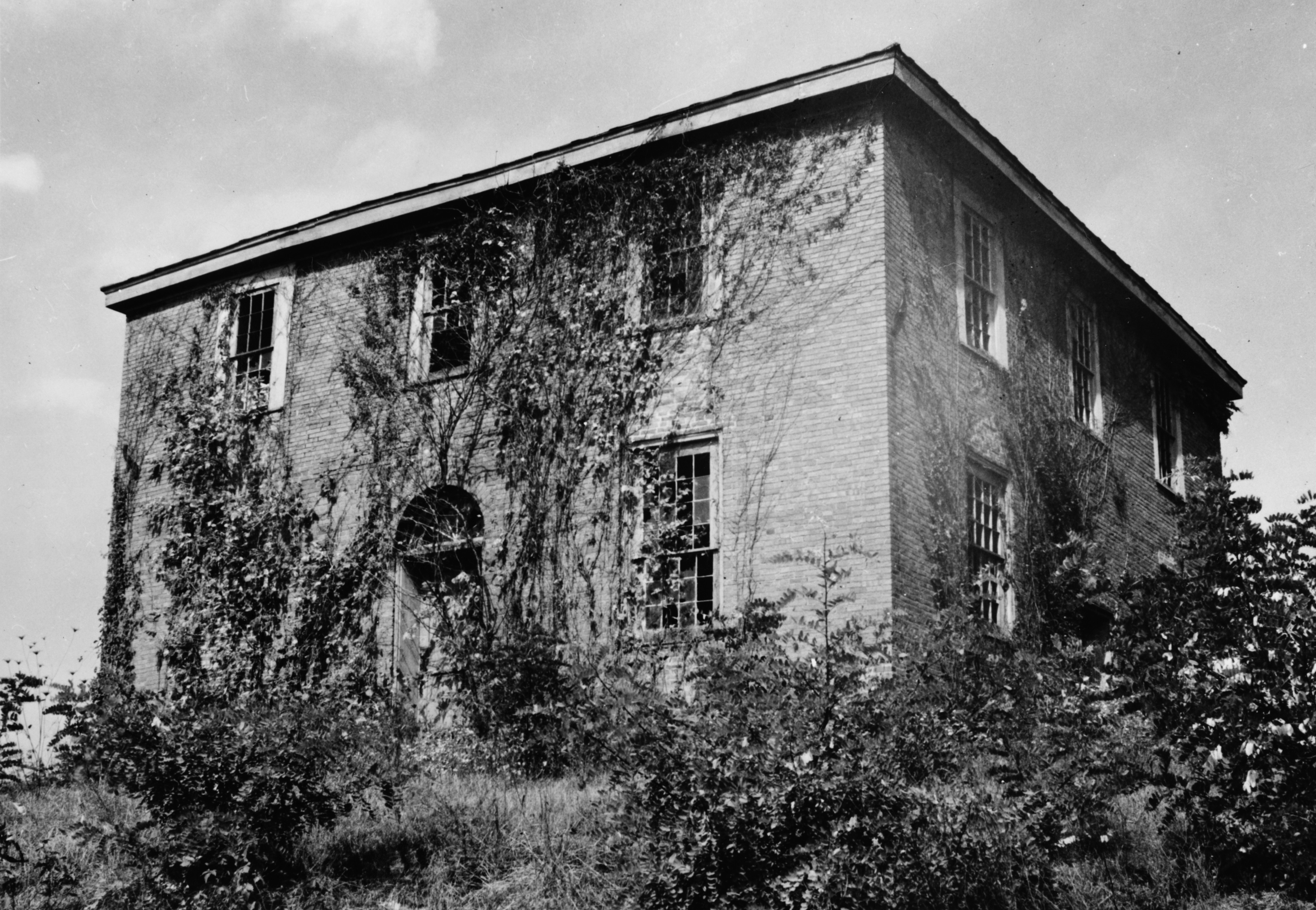
[3] Landmark name [4] Image Date listed Location City or town Summary 1 Buffington Island November 10, 1970 20 miles southeast of Pomeroy on State Route 124
39°00′09″N 81°46′30″W / 39.0025°N 81.775°WLebanon Township 2 John Downing Jr. House May 6, 1993 220-232 N. 2nd Ave.
39°00′11″N 82°02′52″W / 39.003056°N 82.047778°WMiddleport 3 William H. Grant House March 30, 1978 453 Grant St.
38°59′59″N 82°03′25″W / 38.999722°N 82.056944°WMiddleport 4 Meigs County Fairgrounds, Grandstand and Racetrack November 29, 1982 State Route 124
39°03′44″N 82°00′53″W / 39.0623°N 82.01483°WSalisbury Township 5 Middleport Public Library January 6, 1986 178 S. 3rd St.
38°59′57″N 82°03′06″W / 38.999167°N 82.051667°WMiddleport 6 Mound Cemetery Mound May 2, 1974 North of Chester in Mound Cemetery
39°06′48″N 81°55′24″W / 39.113333°N 81.923333°WChester Township 7 Old Meigs County Courthouse and Chester Academy 
June 30, 1975 State Route 248
39°05′17″N 81°55′20″W / 39.088056°N 81.922222°WChester 8 Pomeroy Historic District November 14, 1978 2nd and Main Sts.; also 2nd St.
39°01′39″N 82°02′00″W / 39.0275°N 82.033333°WPomeroy Second set of boundaries represents a boundary increase 9 Reeves Mound July 15, 1974 North of Alfred[5] Orange Township See also
References
- ^ The latitude and longitude information provided in this table was derived originally from the National Register Information System, which has been found to be fairly accurate for about 99% of listings. For about 1% of NRIS original coordinates, experience has shown that one or both coordinates are typos or otherwise extremely far off; some corrections may have been made. A more subtle problem causes many locations to be off by up to 150 yards, depending on location in the country: most NRIS coordinates were derived from tracing out latitude and longitudes off of USGS topographical quadrant maps created under the North American Datum of 1927, which differs from the current, highly accurate WGS84 GPS system used by Google maps. Chicago is about right, but NRIS longitudes in Washington are higher by about 4.5 seconds, and are lower by about 2.0 seconds in Maine. Latitudes differ by about 1.0 second in Florida. Some locations in this table may have been corrected to current GPS standards.
- ^ "National Register of Historic Places: Weekly List Actions". National Park Service, United States Department of the Interior. Retrieved on November 10, 2011.
- ^ Numbers represent an ordering by significant words. Various colorings, defined here, differentiate National Historic Landmark sites and National Register of Historic Places Districts from other NRHP buildings, structures, sites or objects.
- ^ "National Register Information System". National Register of Historic Places. National Park Service. . http://nrhp.focus.nps.gov/natreg/docs/All_Data.html.
- ^ Location derived from its Federal Register notice; the NRIS lists the site as "Address Restricted"
National Register of Historic Places in Ohio Lists by county Adams • Allen • Ashland • Ashtabula • Athens • Auglaize • Belmont • Brown • Butler • Carroll • Champaign • Clark • Clermont • Clinton • Columbiana • Coshocton • Crawford • Cuyahoga • Darke • Defiance • Delaware • Erie • Fairfield • Fayette • Franklin • Fulton • Gallia • Geauga • Greene • Guernsey • Hamilton • Hancock • Hardin • Harrison • Henry • Highland • Hocking • Holmes • Huron • Jackson • Jefferson • Knox • Lake • Lawrence • Licking • Logan • Lorain • Lucas • Madison • Mahoning • Marion • Medina • Meigs • Mercer • Miami • Monroe • Montgomery • Morgan • Morrow • Muskingum • Noble • Ottawa • Paulding • Perry • Pickaway • Pike • Portage • Preble • Putnam • Richland • Ross • Sandusky • Scioto • Seneca • Shelby • Stark • Summit • Trumbull • Tuscarawas • Union • Van Wert • Vinton • Warren • Washington • Wayne • Williams • Wood • Wyandot

Lists by city Other lists Municipalities and communities of Meigs County, Ohio Villages Middleport | Pomeroy | Racine | Rutland | Syracuse

Townships Unincorporated
communitiesCarpenter | Chester | Darwin | Langsville | Long Bottom | Portland | Reedsville | Tuppers Plains
Categories:- National Register of Historic Places in Ohio by county
- Meigs County, Ohio
-


Wikimedia Foundation. 2010.