National Register of Historic Places listings in Champaign County, Ohio

National Register of Historic Places listings in Champaign County, Ohio
Location of Champaign County in Ohio

This is a list of the National Register of Historic Places listings in Champaign County, Ohio.

This is intended to be a complete list of the properties and districts on the National Register of Historic Places in Champaign County, Ohio, United States. The locations of National Register properties and districts for which the latitude and longitude coordinates are included below, may be seen in a Google map.[1]

There are 32 properties and districts listed on the National Register in the county. Another property was once listed but has been removed.

This National Park Service list is complete through NPS recent listings posted November 10, 2011.[2]


Current listings

[3] Landmark name [4] Image Date listed Location City or town Summary
1 Maj. John C. Baker House
Maj. John C. Baker House
01985-08-29August 29, 1985 202 W. Main St.
40°04′31″N 83°33′35″W / 40.075278°N 83.559722°W / 40.075278; -83.559722 (Maj. John C. Baker House)
Mechanicsburg
2 Barr House
Barr House
01985-08-29August 29, 1985 Locust and Sandusky Sts.
40°04′24″N 83°33′17″W / 40.07334°N 83.55465°W / 40.07334; -83.55465 (Barr House)
Mechanicsburg
3 Henry Burnham House
Henry Burnham House
01985-08-29August 29, 1985 N. Main St. and State Route 559
40°04′30″N 83°33′33″W / 40.075°N 83.559167°W / 40.075; -83.559167 (Henry Burnham House)
Mechanicsburg
4 Church Of Our Savior
Church Of Our Savior
01985-08-29August 29, 1985 56 S. Main St.[5]
40°04′15″N 83°33′16″W / 40.070833°N 83.554444°W / 40.070833; -83.554444 (Church Of Our Savior)
Mechanicsburg
5 Dr. Clark House
Dr. Clark House
01985-08-29August 29, 1985 21 N. Main St.
40°04′20″N 83°33′25″W / 40.072222°N 83.556944°W / 40.072222; -83.556944 (Dr. Clark House)
Mechanicsburg
6 William Culbertson House
William Culbertson House
01985-08-29August 29, 1985 103 Race St.
40°04′27″N 83°33′21″W / 40.074167°N 83.555833°W / 40.074167; -83.555833 (William Culbertson House)
Mechanicsburg
7 Demand-Gest House
Demand-Gest House
01985-08-29August 29, 1985 37 N. Main St.
40°04′22″N 83°33′26″W / 40.072778°N 83.557222°W / 40.072778; -83.557222 (Demand-Gest House)
Mechanicsburg
8 Hamer's General Store
Hamer's General Store
01985-08-29August 29, 1985 88 S. Main St.
40°04′12″N 83°33′13″W / 40.07°N 83.553611°W / 40.07; -83.553611 (Hamer's General Store)
Mechanicsburg
9 Norvall Hunter Farm
Norvall Hunter Farm
01985-08-29August 29, 1985 129 S. Main St.
40°04′03″N 83°33′12″W / 40.0675°N 83.553333°W / 40.0675; -83.553333 (Norvall Hunter Farm)
Mechanicsburg
10 Kimball House
Kimball House
01985-08-29August 29, 1985 115 N. Main St.
40°04′25″N 83°33′30″W / 40.073611°N 83.558333°W / 40.073611; -83.558333 (Kimball House)
Mechanicsburg
11 Kiser Mansion
Kiser Mansion
02011-02-04February 4, 2011 149 E. Main St.
40°07′41″N 83°57′27″W / 40.128056°N 83.9575°W / 40.128056; -83.9575 (Kiser Mansion)
St. Paris
12 Lowler's Tavern
Lowler's Tavern
01985-08-29August 29, 1985 N. Main St.
40°04′20″N 83°33′25″W / 40.072222°N 83.556944°W / 40.072222; -83.556944 (Lowler's Tavern)
Mechanicsburg
13 Magruder Building
Magruder Building
01985-08-29August 29, 1985 16 S. Main St.
40°04′17″N 83°33′19″W / 40.071389°N 83.555278°W / 40.071389; -83.555278 (Magruder Building)
Mechanicsburg
14 Masonic Temple
Masonic Temple
01985-08-29August 29, 1985 N. Main St.
40°04′21″N 83°33′23″W / 40.0725°N 83.556389°W / 40.0725; -83.556389 (Masonic Temple)
Mechanicsburg
15 Mechanicsburg Baptist Church
Mechanicsburg Baptist Church
01985-08-29August 29, 1985 Walnut and Sandusky Sts.
40°04′16″N 83°33′28″W / 40.071111°N 83.557778°W / 40.071111; -83.557778 (Mechanicsburg Baptist Church)
Mechanicsburg
16 Mechanicsburg Commercial Historic District
Mechanicsburg Commercial Historic District
01985-08-29August 29, 1985 1-11 S. Main St.
40°04′00″N 83°33′00″W / 40.066681°N 83.549967°W / 40.066681; -83.549967 (Mechanicsburg Commercial Historic District)
Mechanicsburg
17 Monitor House
Monitor House
01974-05-02May 2, 1974 375 W. Main St.
40°07′45″N 83°58′02″W / 40.129167°N 83.967222°W / 40.129167; -83.967222 (Monitor House)
St. Paris
18 Dr. Adam Mosgrove House
Dr. Adam Mosgrove House
01982-07-15July 15, 1982 127 Miami St.
40°06′29″N 83°45′14″W / 40.108056°N 83.753889°W / 40.108056; -83.753889 (Dr. Adam Mosgrove House)
Urbana
19 Mt. Tabor Church Building, Cemetery and Hitching Lot
Mt. Tabor Church Building, Cemetery and Hitching Lot
01995-11-22November 22, 1995 State Route 245, 300 meters south of its junction with Mt. Tabor Rd.
40°13′44″N 83°41′38″W / 40.228889°N 83.693889°W / 40.228889; -83.693889 (Mt. Tabor Church Building, Cemetery and Hitching Lot)
Salem Township
20 Dr. Ninchelser House
Dr. Ninchelser House
01985-08-29August 29, 1985 28 N. Main St.
40°04′25″N 83°33′25″W / 40.073611°N 83.556944°W / 40.073611; -83.556944 (Dr. Ninchelser House)
Mechanicsburg
21 Nutwood Place
Nutwood Place
01976-12-12December 12, 1976 1428 Nutwood Place
40°07′36″N 83°45′11″W / 40.126667°N 83.753056°W / 40.126667; -83.753056 (Nutwood Place)
Urbana
22 Carl Potter Mound
Carl Potter Mound
01974-08-13August 13, 1974 Eastern side of State Route 56, southwest of Mechanicsburg
40°2′20.8″N 83°36′4.5″W / 40.039111°N 83.60125°W / 40.039111; -83.60125 (Potter, Carl, Mound)[6]
Union Township
23 Richards-Sewall House
Richards-Sewall House
01995-08-14August 14, 1995 222 College St.
40°06′13″N 83°45′21″W / 40.103611°N 83.755833°W / 40.103611; -83.755833 (Richards-Sewall House)
Urbana
24 St. Michael Catholic Church
St. Michael Catholic Church
01985-08-29August 29, 1985 40 Walnut St.
40°04′20″N 83°33′30″W / 40.072222°N 83.558333°W / 40.072222; -83.558333 (St. Michael Catholic Church)
Mechanicsburg
25 St. Paul AME Church
St. Paul AME Church
01997-09-05September 5, 1997 316 E. Market St.
40°06′25″N 83°44′57″W / 40.106917°N 83.749164°W / 40.106917; -83.749164 (St. Paul AME Church)
Urbana
26 Scioto Street Historic District
Scioto Street Historic District
01984-02-09February 9, 1984 Scioto St. from Locust to E. Lawn Ave.
40°06′28″N 83°44′45″W / 40.107706°N 83.745936°W / 40.107706; -83.745936 (Scioto Street Historic District)
Urbana
27 Second Baptist Church
Second Baptist Church
01985-08-29August 29, 1985 Sandusky St.
40°04′20″N 83°33′17″W / 40.072222°N 83.554722°W / 40.072222; -83.554722 (Second Baptist Church)
Mechanicsburg
28 United Methodist Church
United Methodist Church
01985-08-29August 29, 1985 N. Main and Race Sts.
40°04′24″N 83°33′27″W / 40.07342°N 83.55741°W / 40.07342; -83.55741 (United Methodist Church)
Mechanicsburg
29 Urbana College Historic Buildings
Urbana College Historic Buildings
01980-10-03October 3, 1980 College Way
40°6′8.4″N 83°45′43.2″W / 40.102333°N 83.762°W / 40.102333; -83.762 (Urbana College Historic Buildings)[7]
Urbana
30 Urbana Monument Square Historic District
Urbana Monument Square Historic District
01984-03-01March 1, 1984 Roughly bounded by Market, Walnut, Church, and Locust Sts.
40°06′31″N 83°45′09″W / 40.108653°N 83.752428°W / 40.108653; -83.752428 (Urbana Monument Square Historic District)
Urbana
31 Village Hobby Shop
Village Hobby Shop
01985-08-29August 29, 1985 N. Main St.
40°04′19″N 83°33′23″W / 40.071944°N 83.556389°W / 40.071944; -83.556389 (Village Hobby Shop)
Mechanicsburg
32 John Q.A. Ward House
John Q.A. Ward House
01974-07-30July 30, 1974 335 College St.
40°06′12″N 83°45′27″W / 40.10325°N 83.7575°W / 40.10325; -83.7575 (John Q.A. Ward House)
Urbana

Former listing

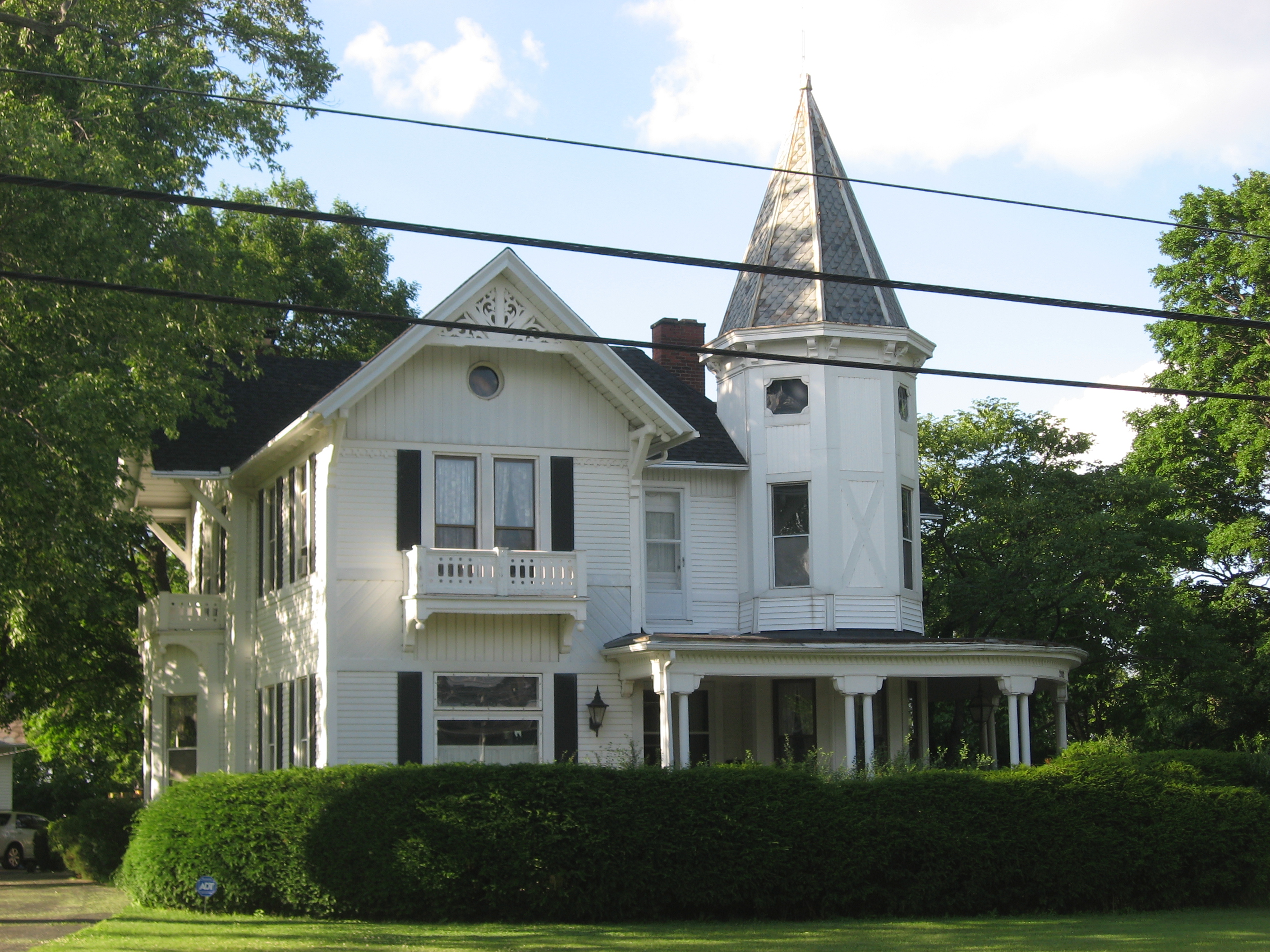
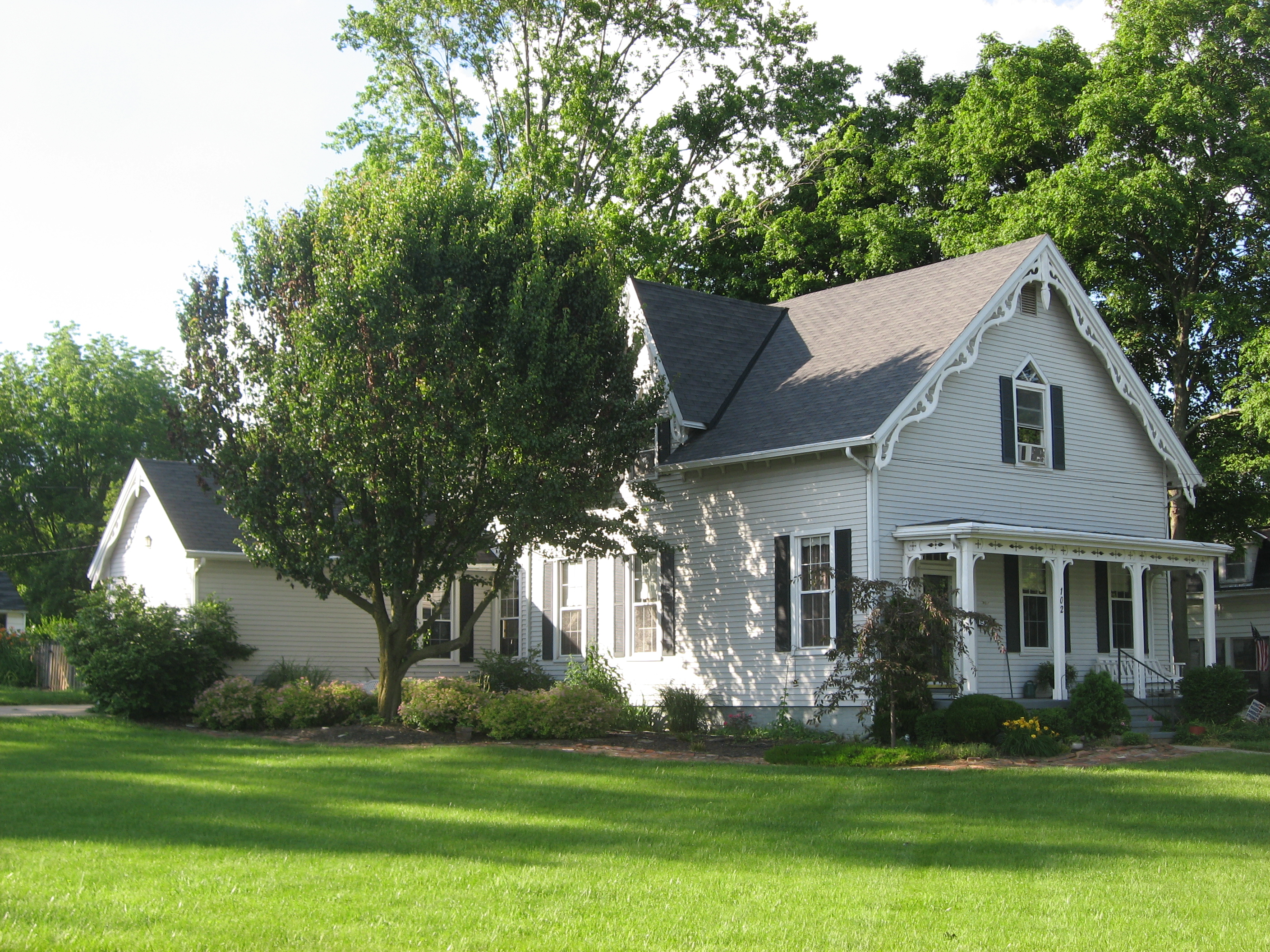
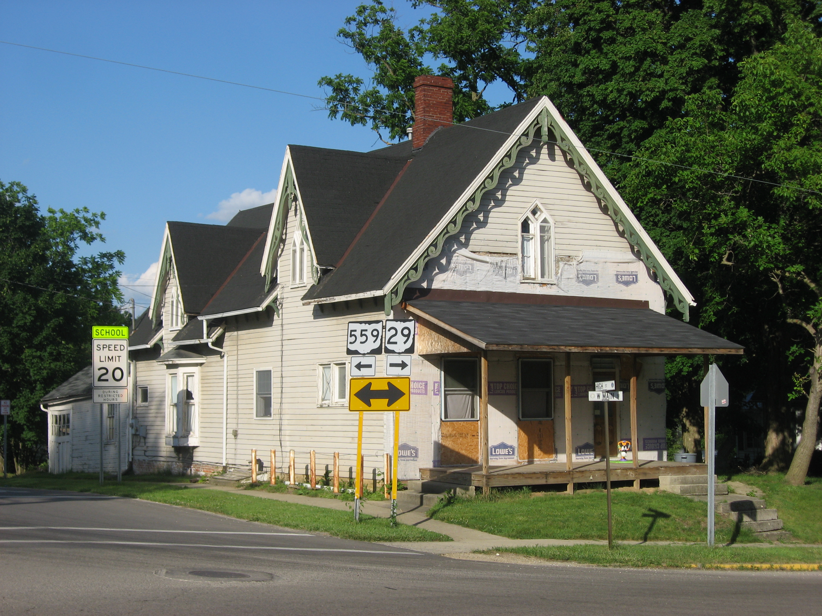
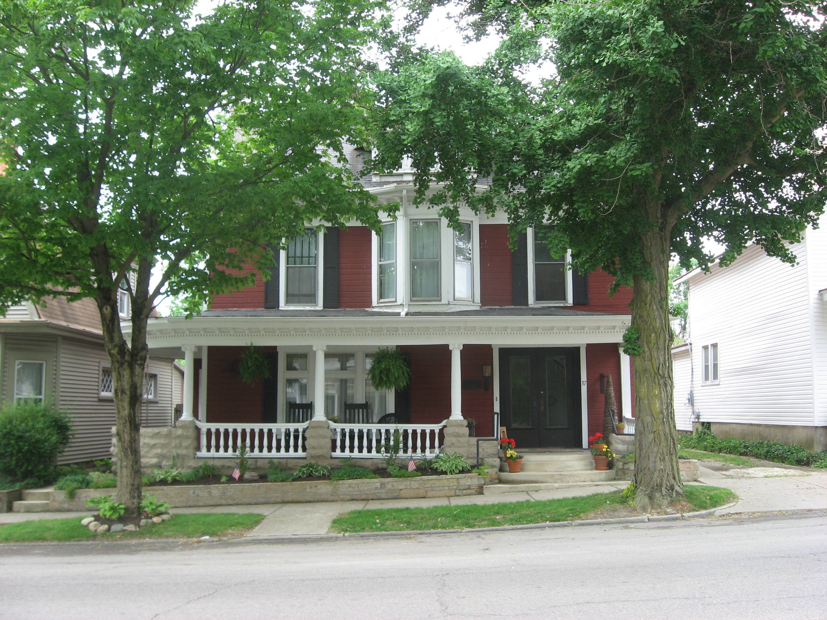
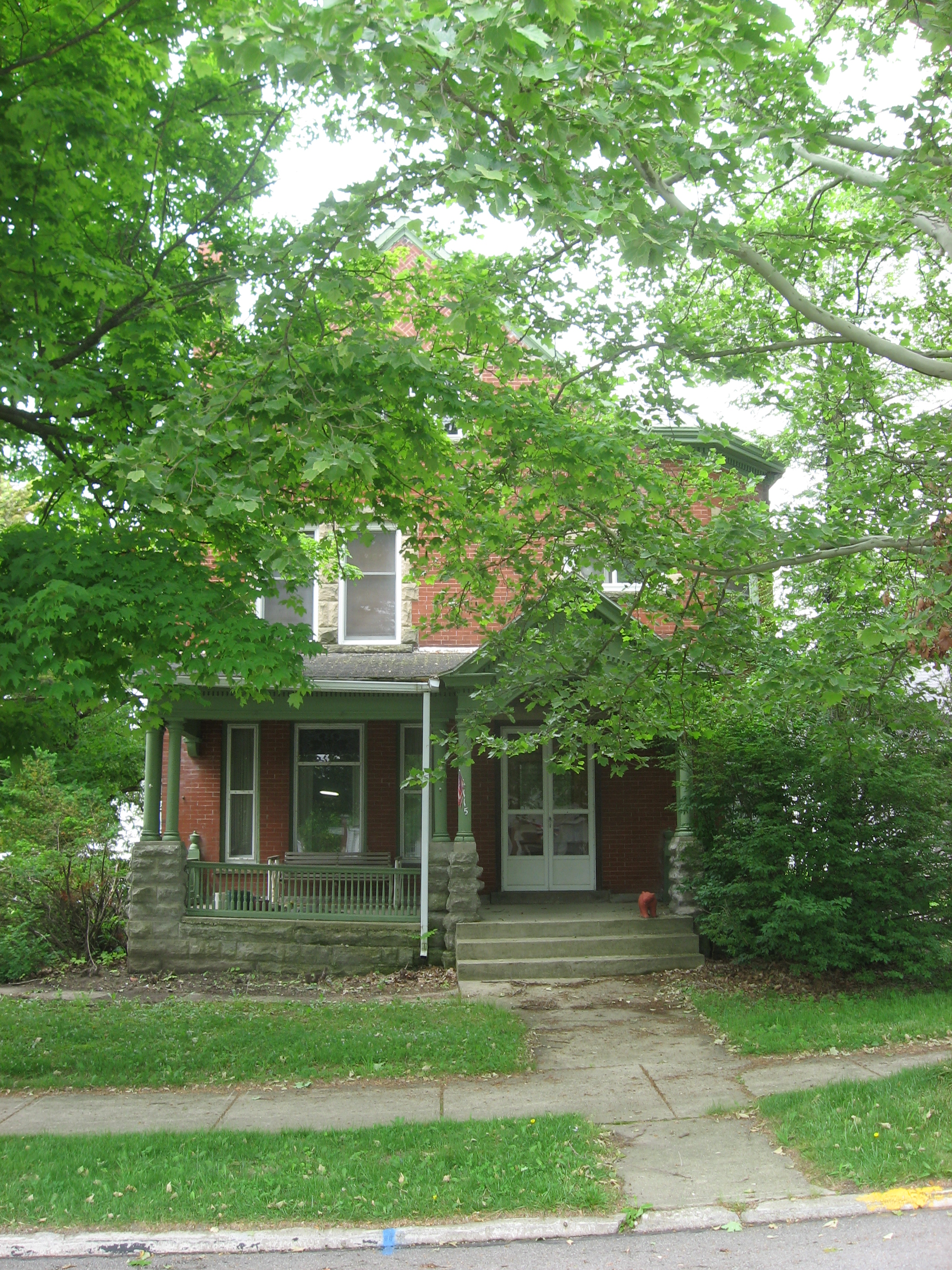
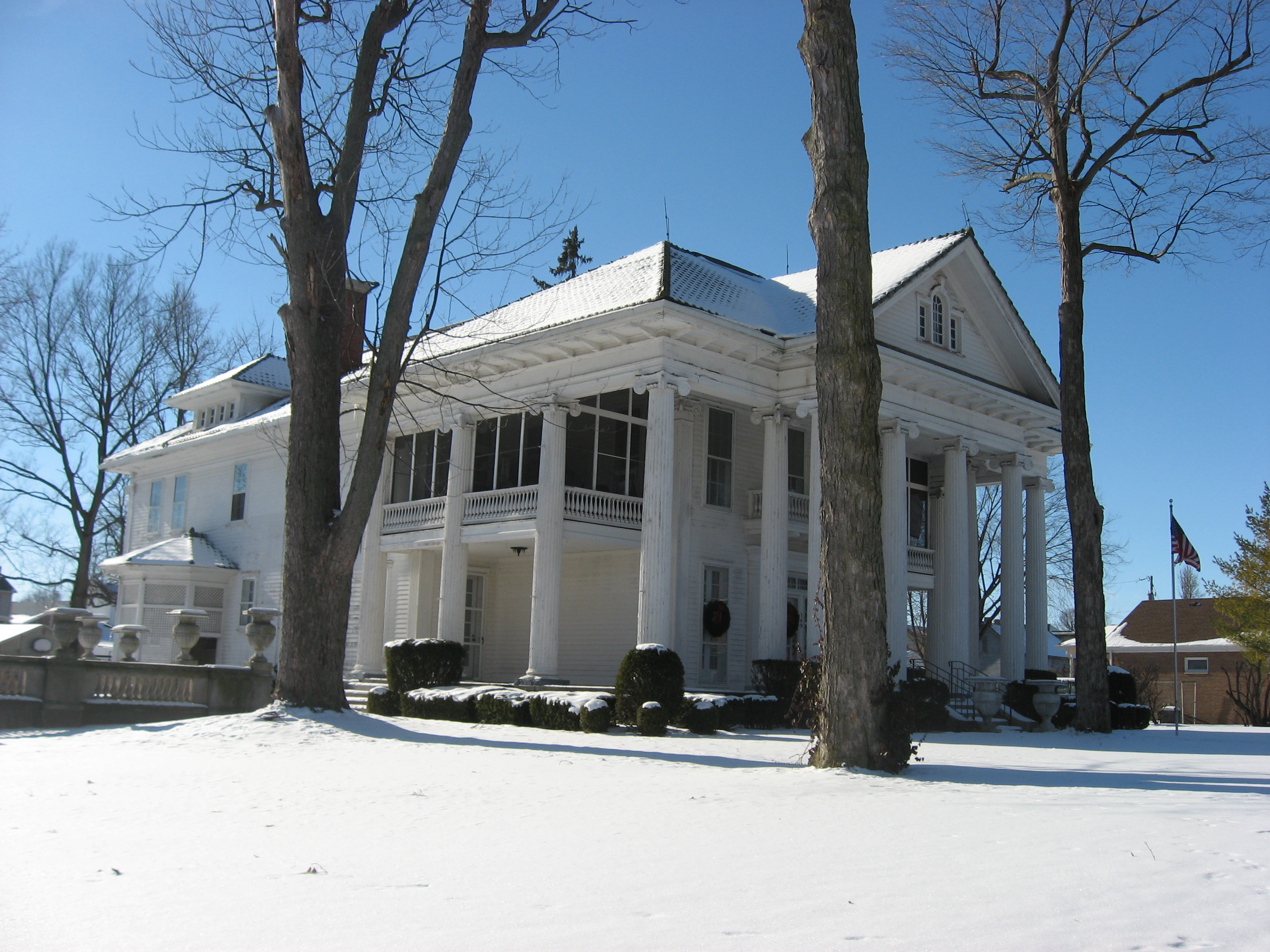
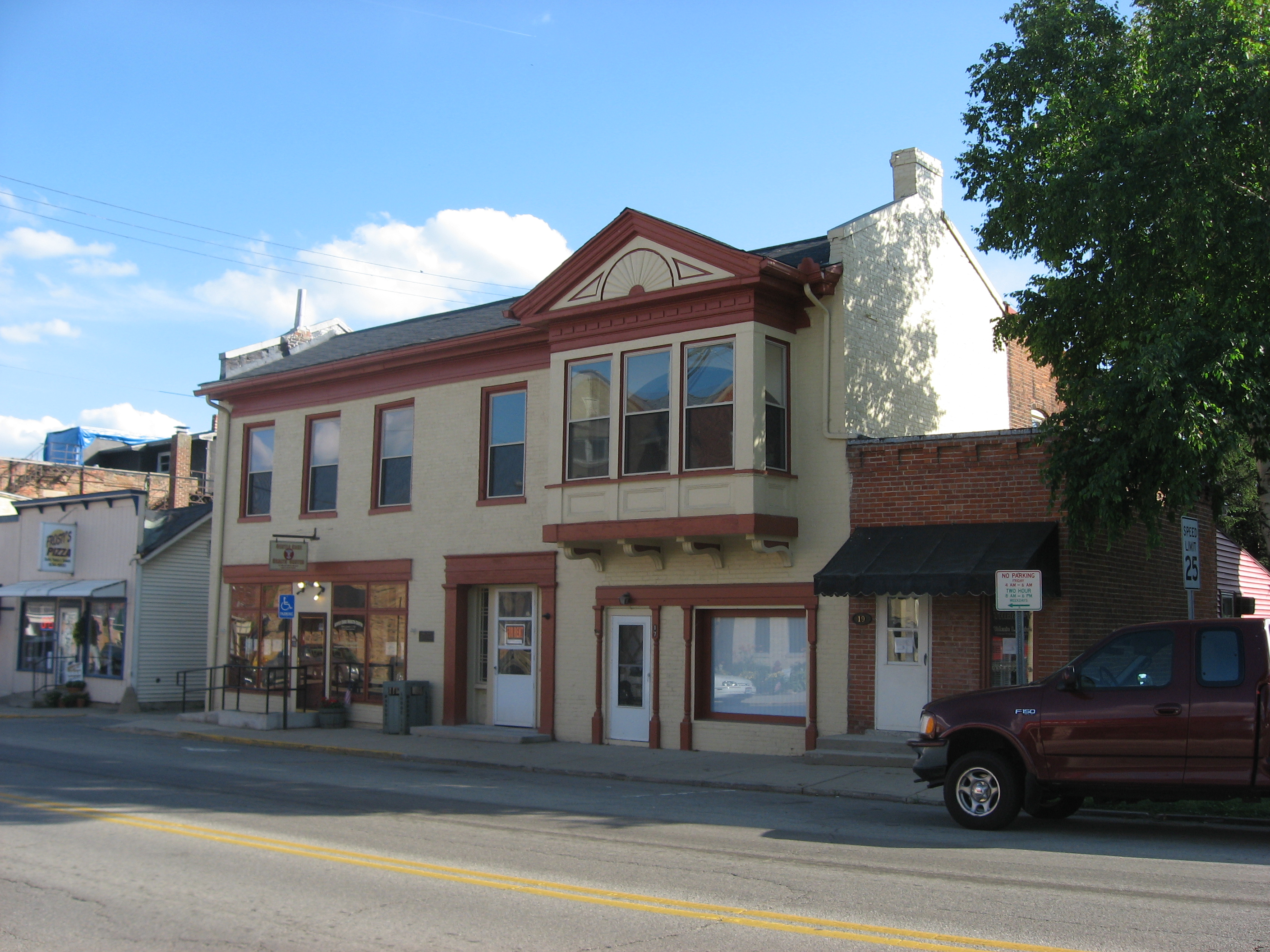
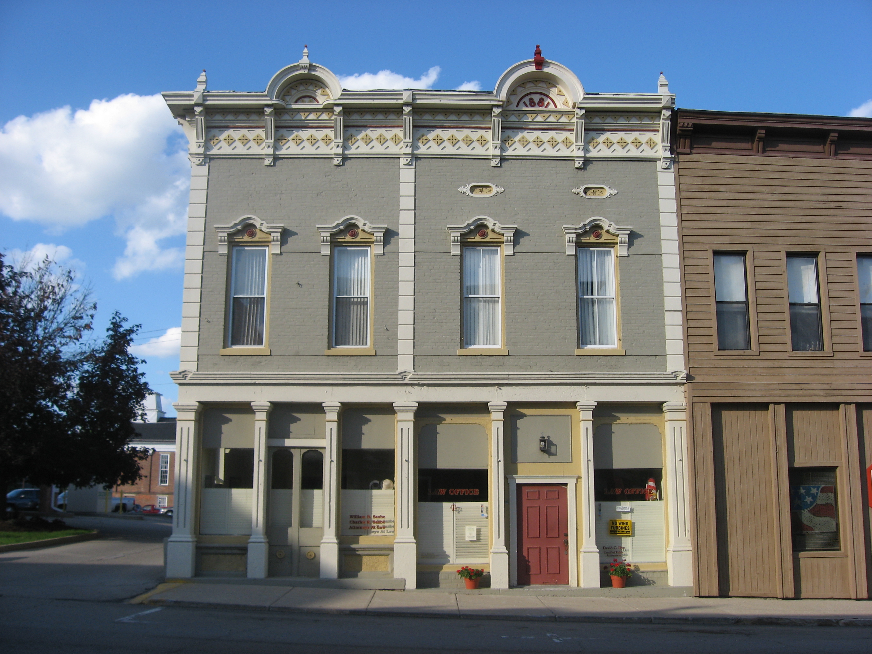
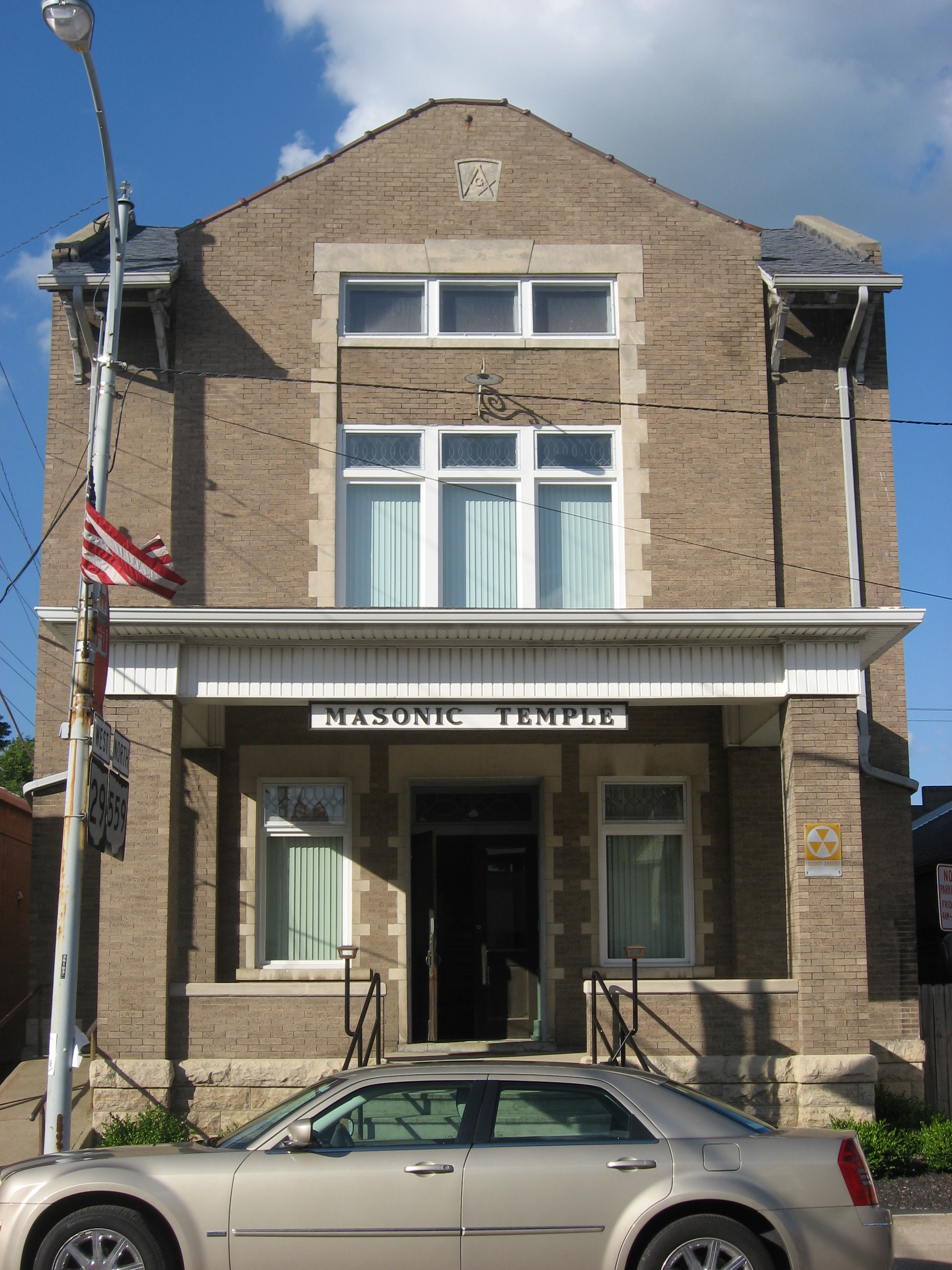
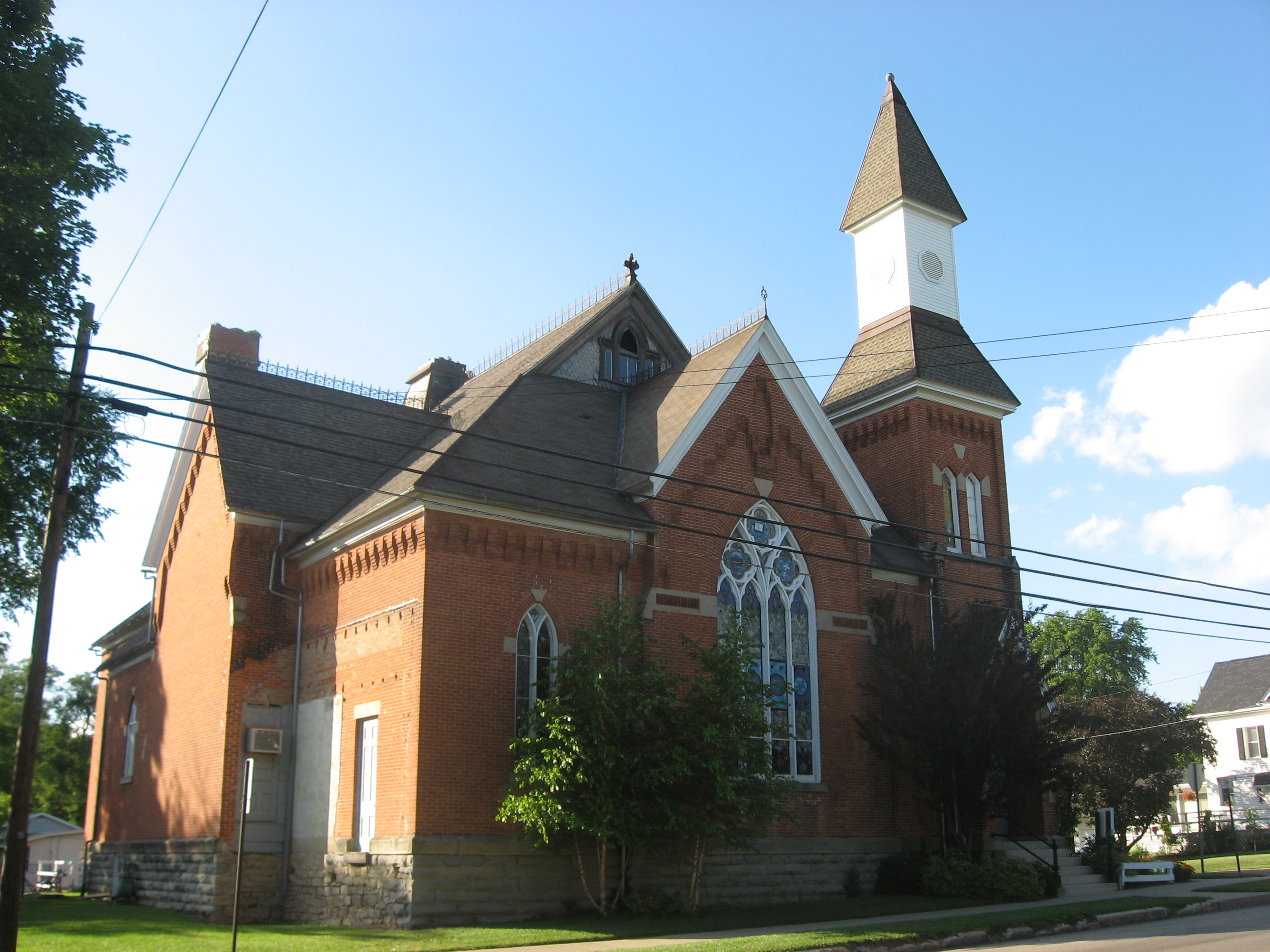
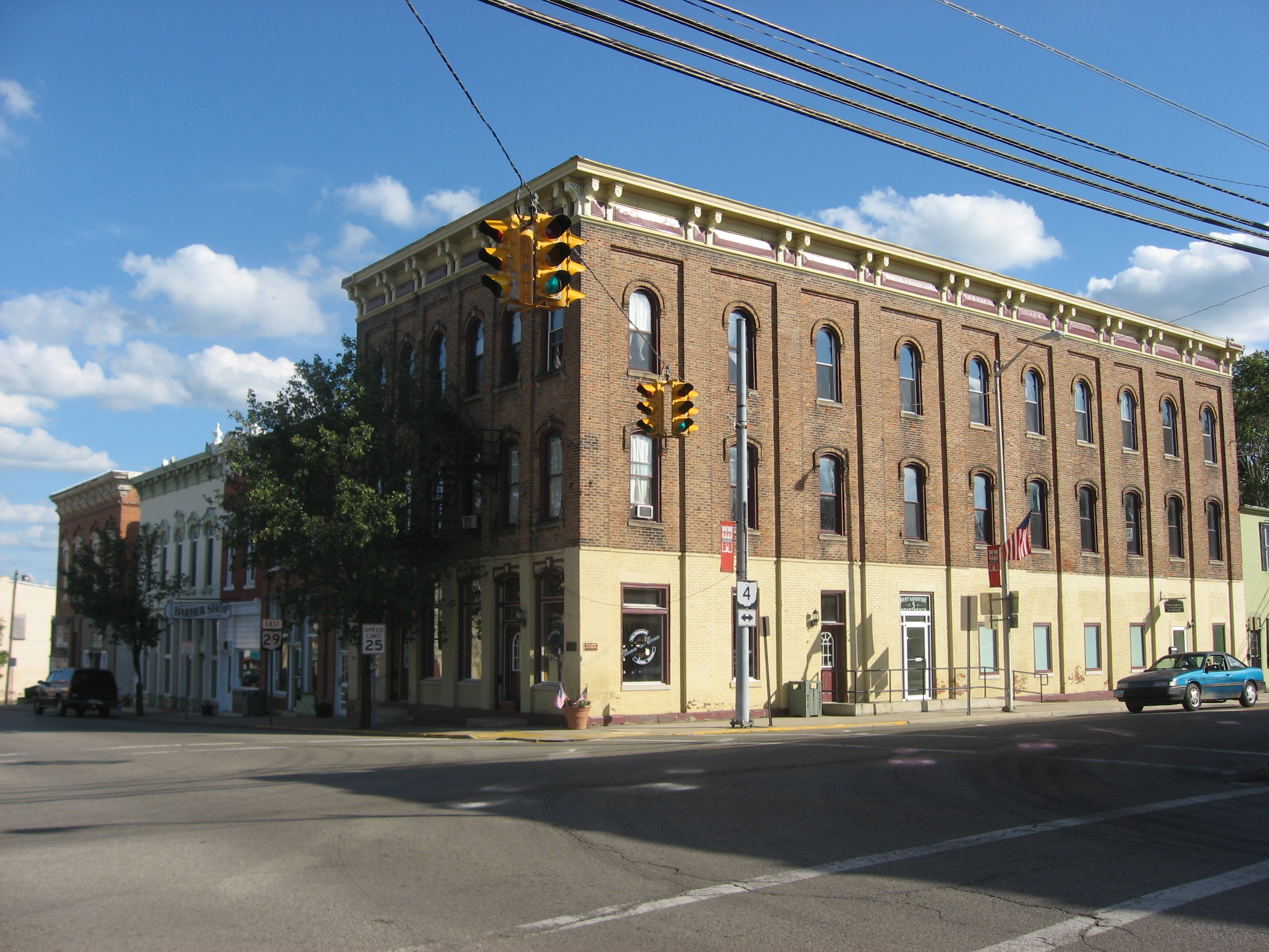
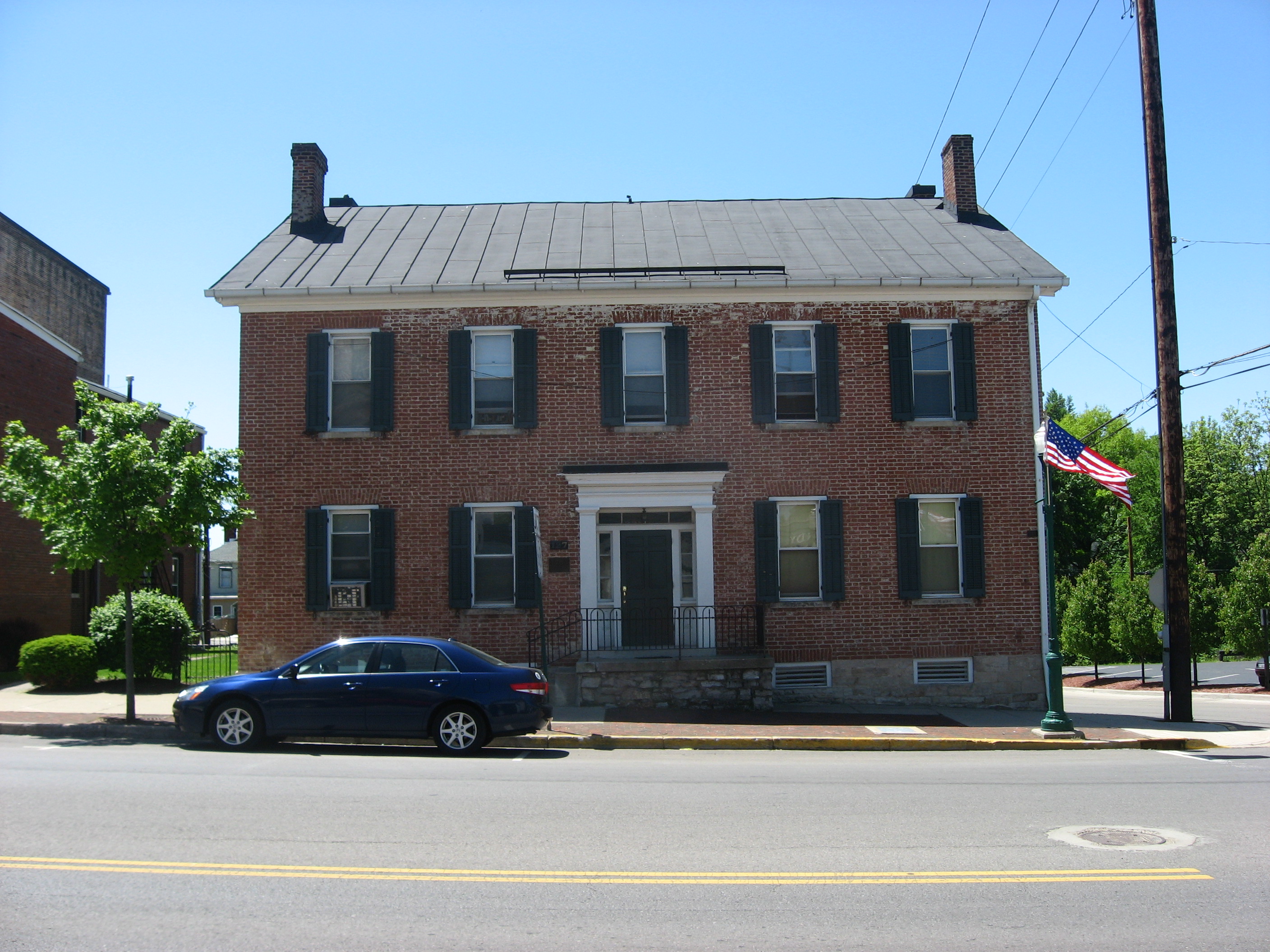
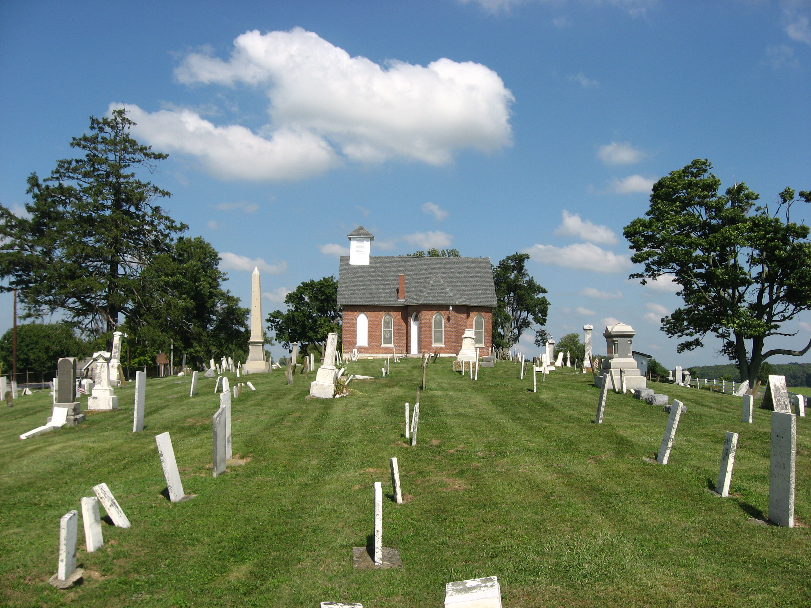
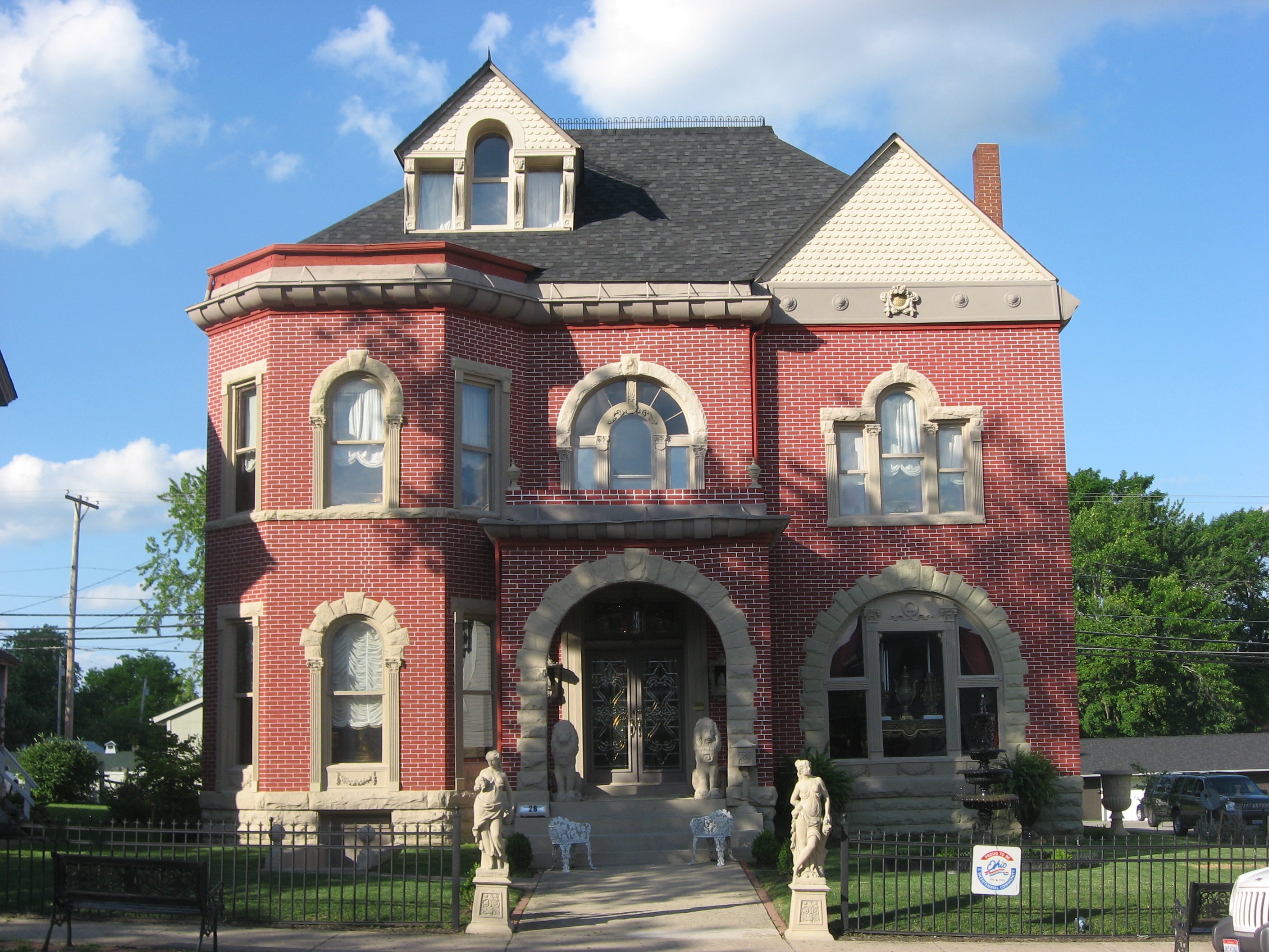
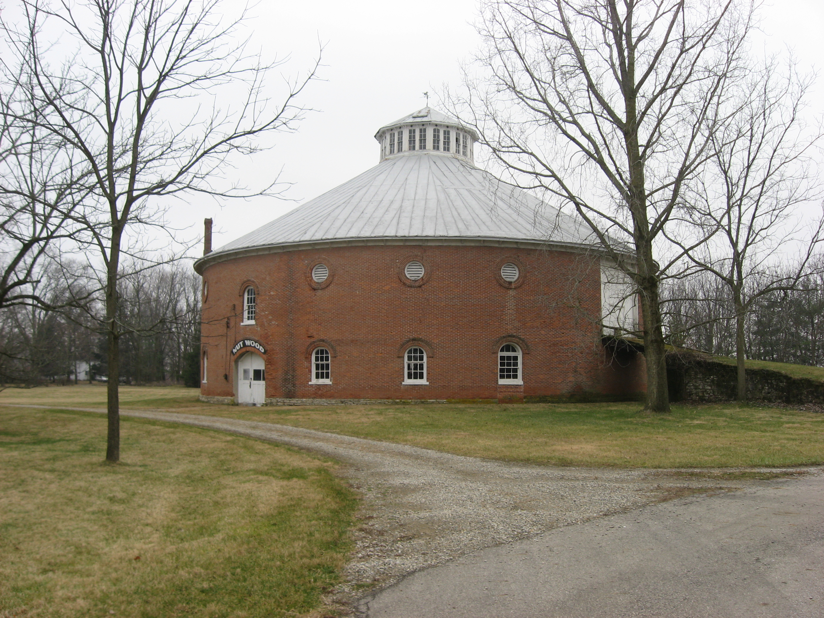
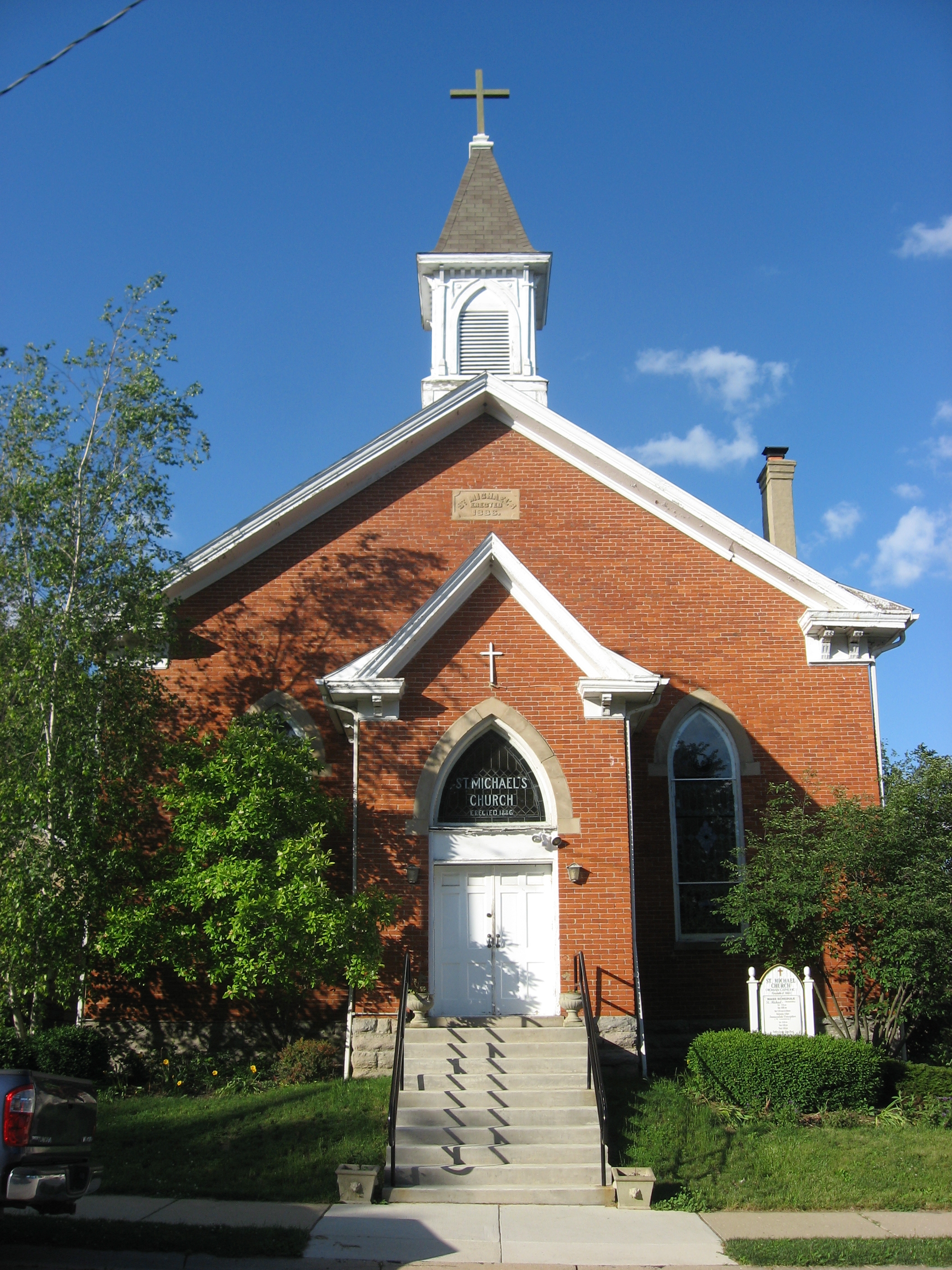
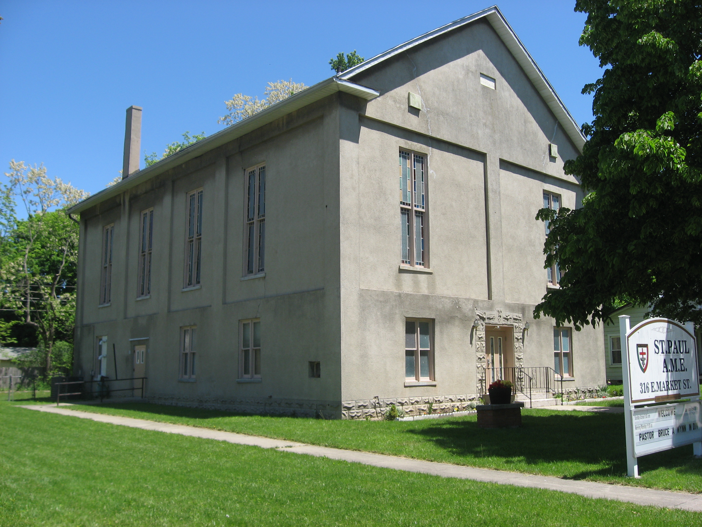
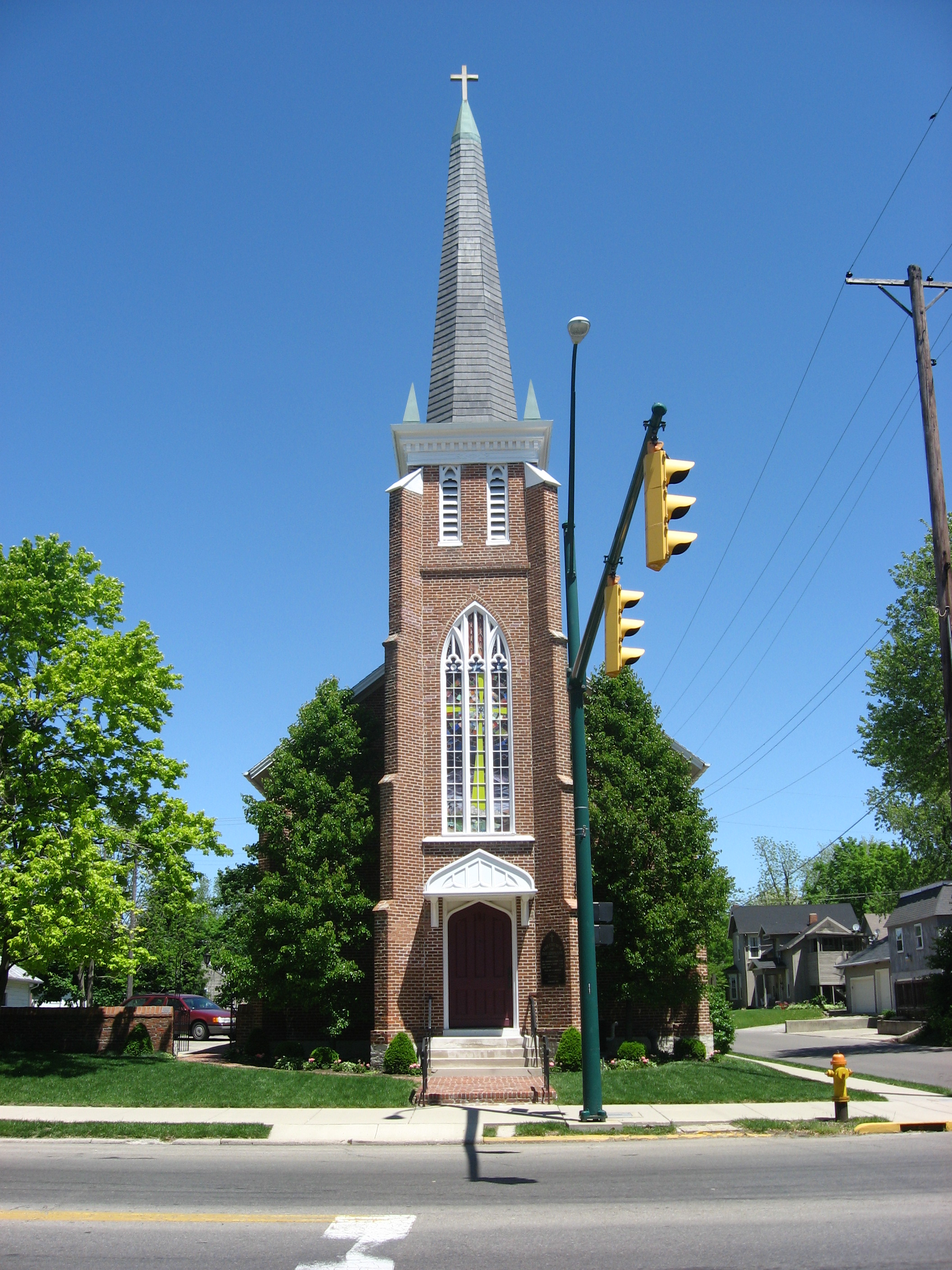
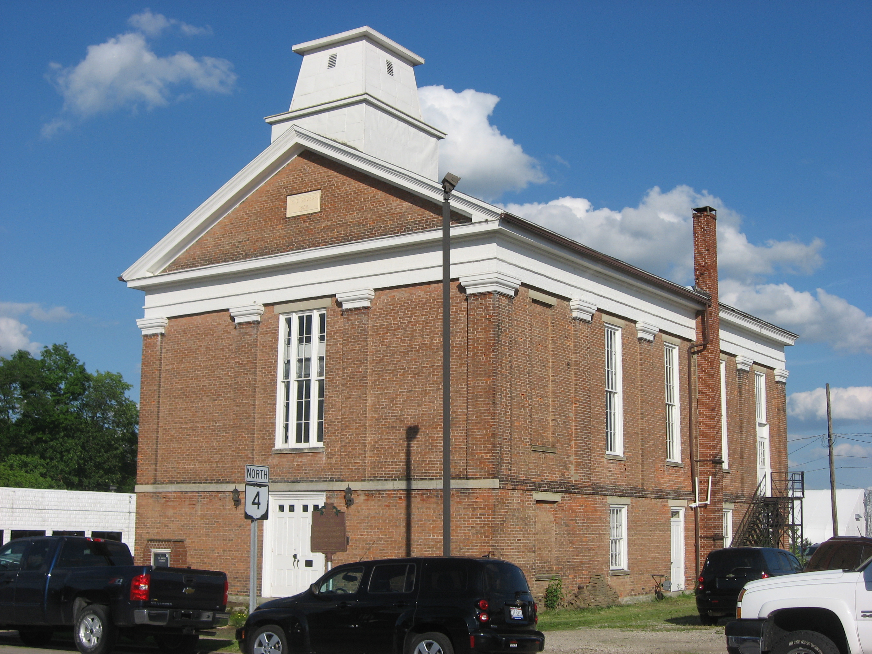
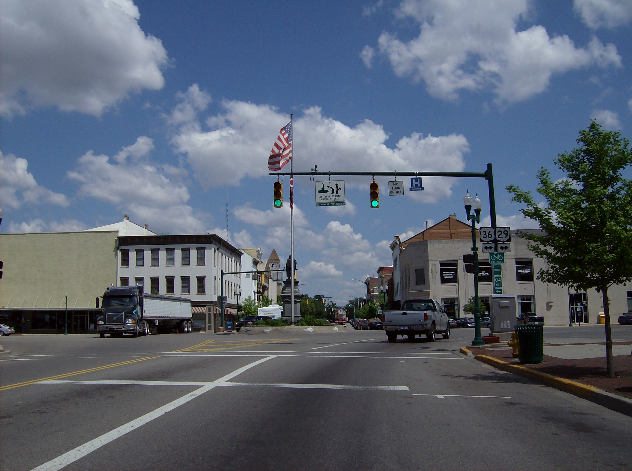
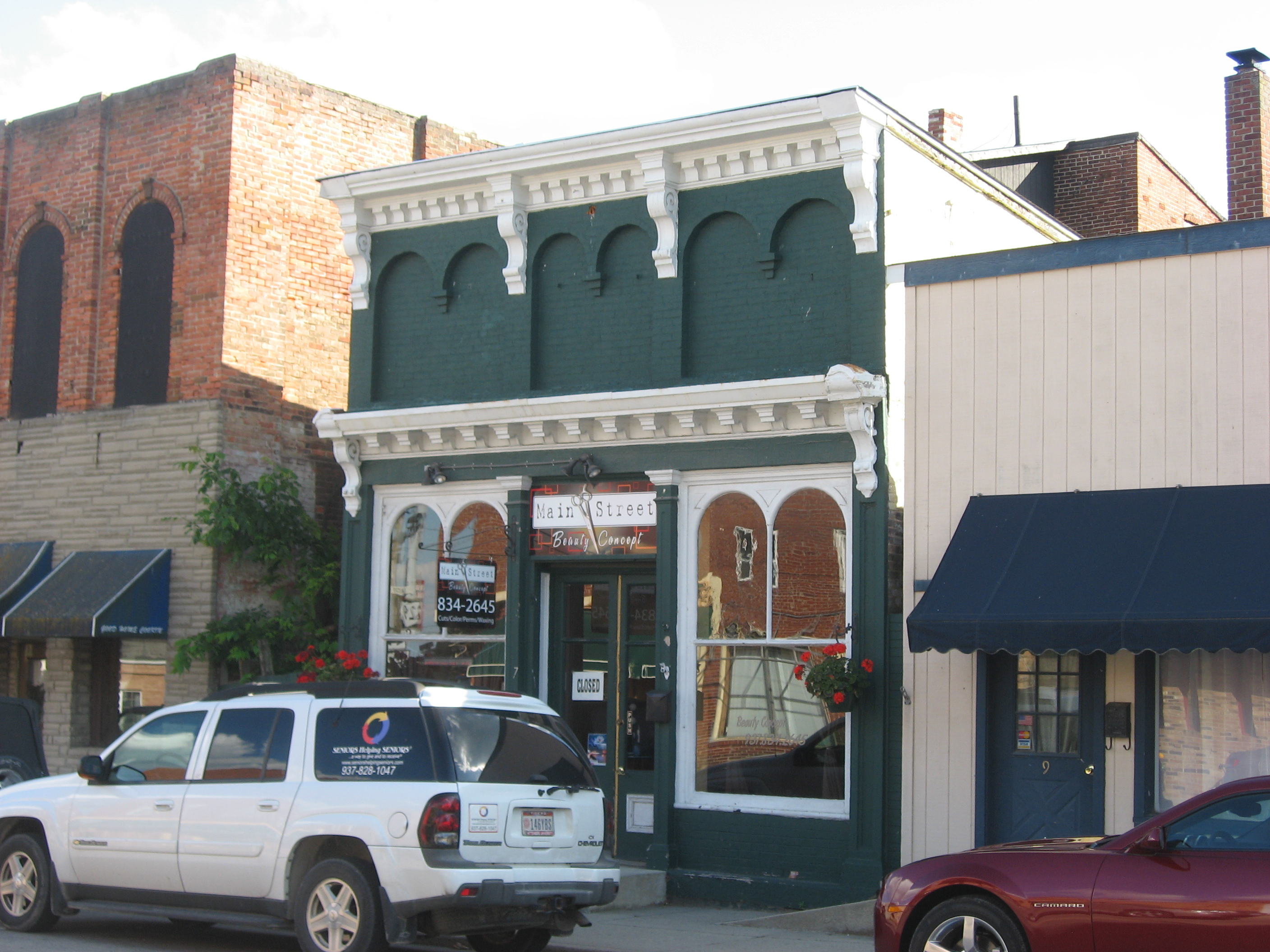
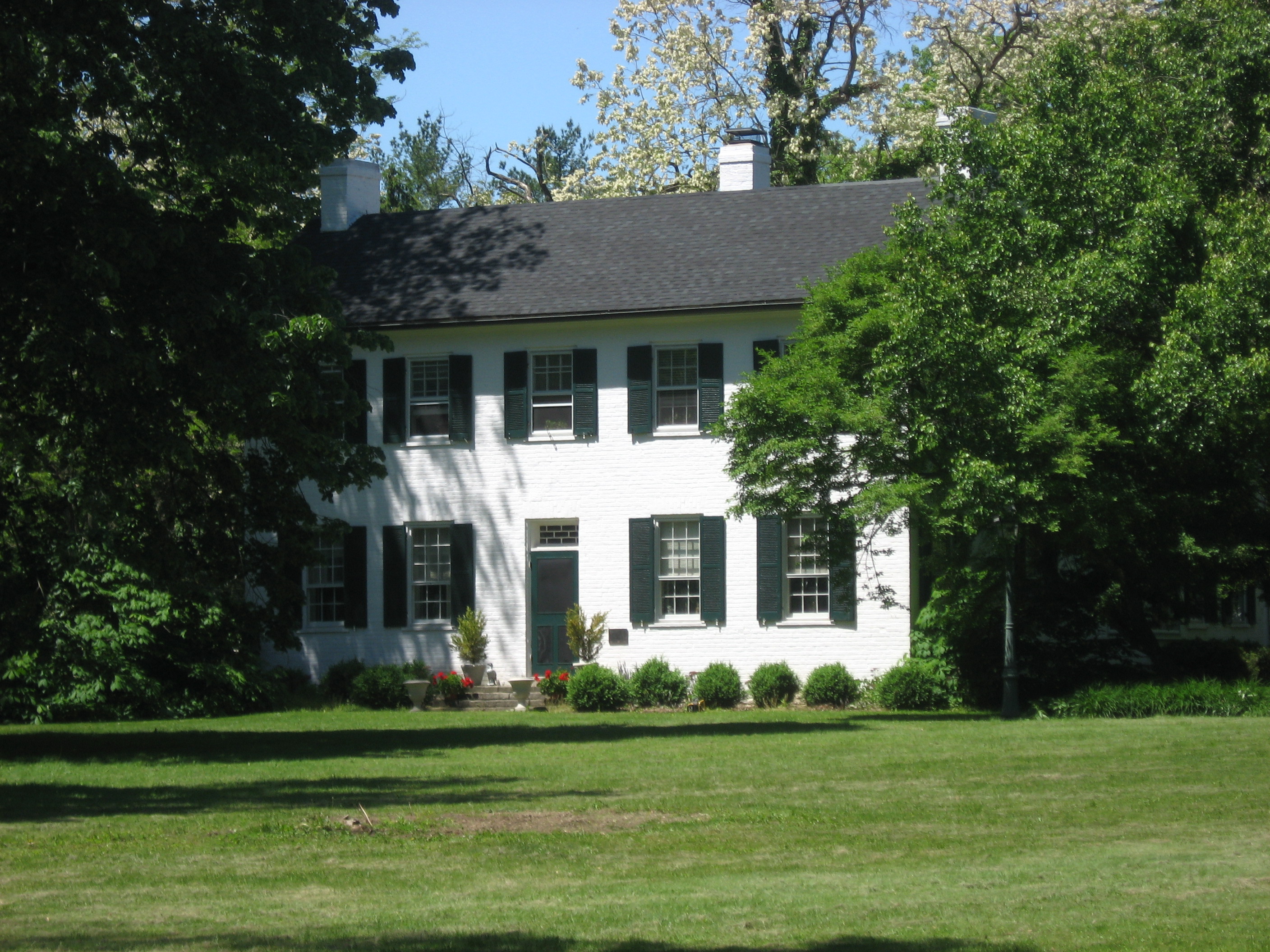
[3] Landmark name Image Date listed Location City or town Summary
1 Levi Rathburn House Levi Rathburn House site in Mechanicsburg.jpg 01990-12-24 December 24, 1990 Locust and Sandusky Sts.
40°4′22.8″N 83°33′18″W / 40.073°N 83.555°W / 40.073; -83.555 (Rathburn, Levi, House)
Mechanicsburg Listed on 01985-08-29 August 29, 1985

See also

References

  1. ^ The latitude and longitude information provided in this table was derived originally from the National Register Information System, which has been found to be fairly accurate for about 99% of listings. For about 1% of NRIS original coordinates, experience has shown that one or both coordinates are typos or otherwise extremely far off; some corrections may have been made. A more subtle problem causes many locations to be off by up to 150 yards, depending on location in the country: most NRIS coordinates were derived from tracing out latitude and longitudes off of USGS topographical quadrant maps created under the North American Datum of 1927, which differs from the current, highly accurate WGS84 GPS system used by Google maps. Chicago is about right, but NRIS longitudes in Washington are higher by about 4.5 seconds, and are lower by about 2.0 seconds in Maine. Latitudes differ by about 1.0 second in Florida. Some locations in this table may have been corrected to current GPS standards.
  2. ^ "National Register of Historic Places: Weekly List Actions". National Park Service, United States Department of the Interior. Retrieved on November 10, 2011.
  3. ^ a b Numbers represent an ordering by significant words. Various colorings, defined here, differentiate National Historic Landmark sites and National Register of Historic Places Districts from other NRHP buildings, structures, sites or objects.
  4. ^ "National Register Information System". National Register of Historic Places. National Park Service. . http://nrhp.focus.nps.gov/natreg/docs/All_Data.html. 
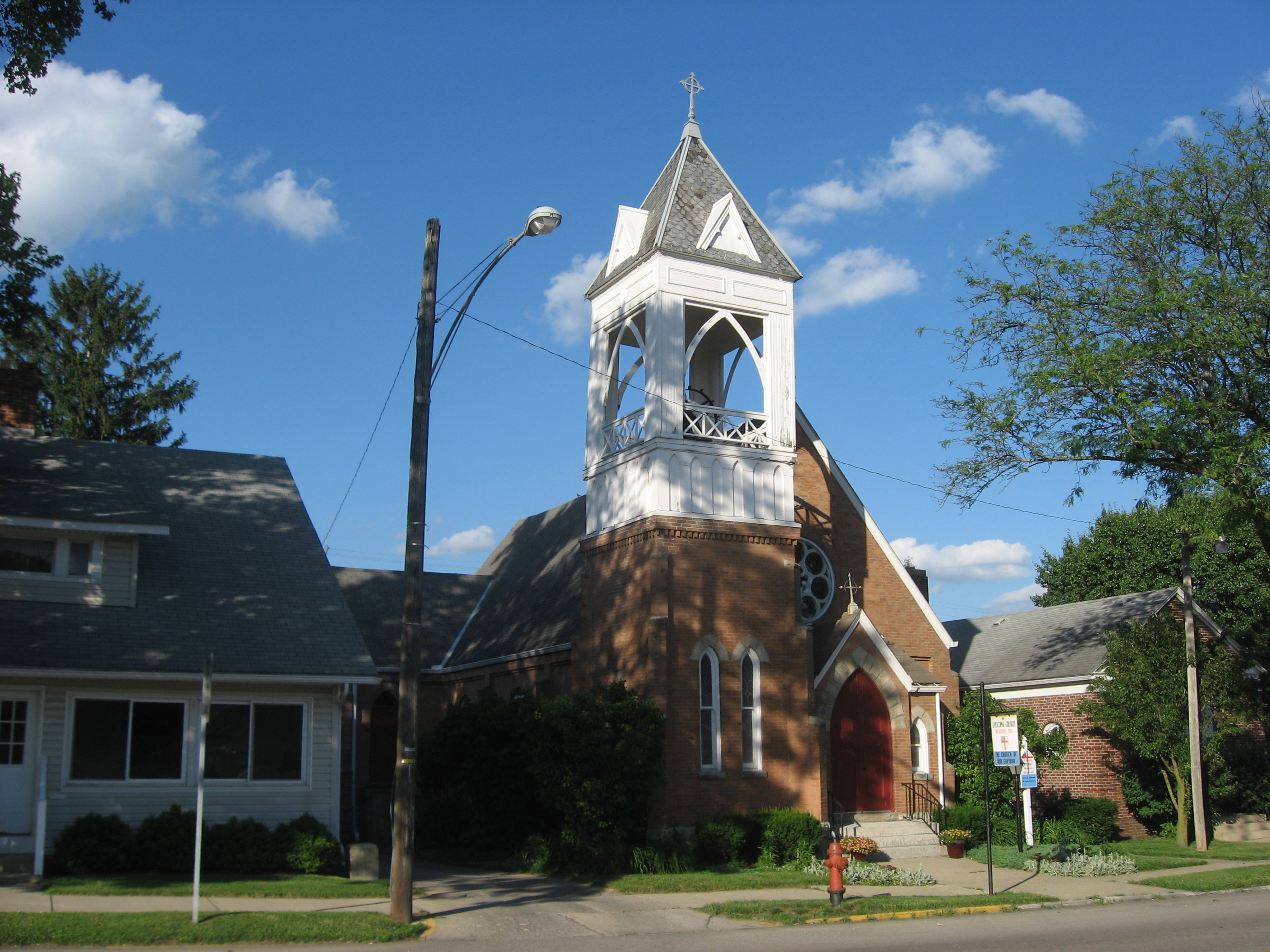
  5. ^ Home page, Church of Our Saviour. Accessed 2009-06-11.
  6. ^ Drennen, Bert C., III. National Register of Historic Places Inventory/Nomination: Carl Potter Mound. National Park Service, 1974-01-22, 2.
  7. ^ Coordinates are those of Bailey Hall, the oldest building on campus; the NRIS provides no coordinates.

Wikimedia Foundation. 2010.

Игры ⚽ Нужно сделать НИР?

Look at other dictionaries:

Share the article and excerpts

Direct link
Do a right-click on the link above
and select “Copy Link”