- Ohio State Route 73
-
State Route 73
Route information Maintained by ODOT Length: 134.74 mi[1] (216.84 km) Existed: 1924 – present Major junctions West end:  US 27 in Oxford
 I-75 in Franklin
 I-71 near Wilmington
East end: 
 US 23/SR 104 in Portsmouth
Location Counties: Butler, Warren, Clinton, Highland, Adams, Scioto Highway system Ohio highways
Interstates • U.S. Routes • State Routes←  SR 72
SR 72I-77  →
→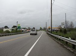
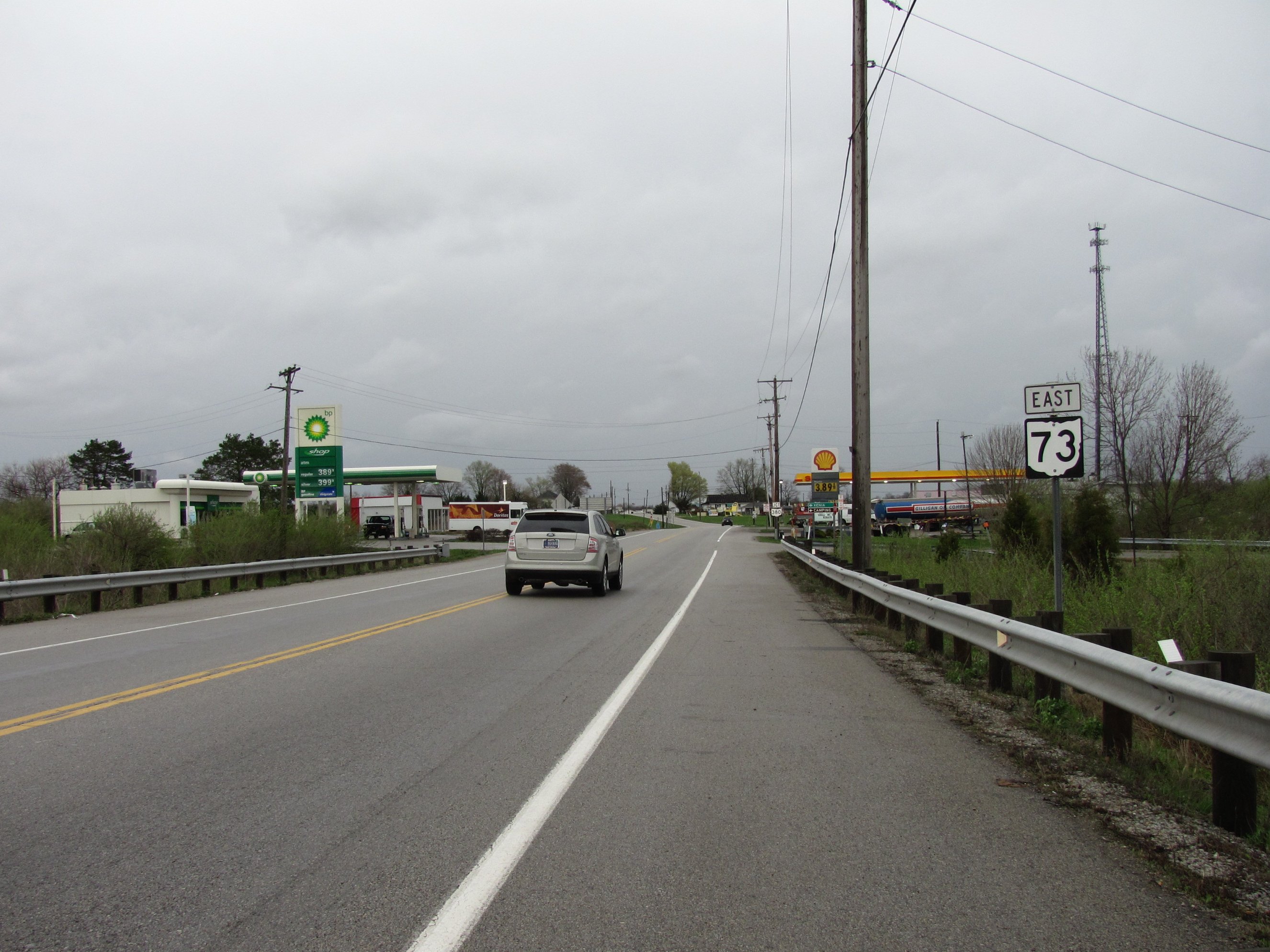
State Route 73 is an east–west state highway in the southern portion of the U.S. state of Ohio. Its western terminus is on U.S. Route 27 in Oxford. State Route 73’s eastern terminus is in Portsmouth at U.S. Route 23; this is also the southern terminus of State Route 104, and the two state routes run concurrent for over 6 miles (9.7 km) from this point north. Once State Route 73 enters Scioto County, it is designated as the Scenic Scioto Heritage Trail by the Ohio Department of Transportation.[2]
In combination with State Route 32, Route 73's easternmost 31 miles are part of the quickest route between Cincinnati and Portsmouth.
Contents
Cities and villages along route
- Oxford
- Trenton
- Excello
- South Middletown
- Middletown
- Franklin
- Springboro
- Waynesville
- Harveysburg
- Wilmington
- New Vienna
- Hillsboro
- Berrysville
- Belfast
- Louden
- Locust Grove
- Pine Gap
- Rarden
- Youngs
- Otway
- Henley
- Coles Park
- West Portsmouth
- Portsmouth
Points of interest
- Great Miami River - Middletown, Franklin
- Excello Locks - Historic Remains of a lock on the Miami-Erie Canal near the intersection of 73 and S. Main St. in Middletown, Ohio. Much of the route between Trenton and Franklin follows the original path of the Miami and Erie Canal.
- Middletown Historical Society Canal Museum
- La Comedia Dinner Theatre - Springboro
- Little Miami River - Waynesville
- Little Miami Bike Trail - Corwin
- Caesar Creek Lake - Warren County
- Caesar Creek State Park - Warren, Clinton County
- Serpent Mound
- Brush Creek State Forest
- Shawnee State Forest
- Scioto River
- Ohio River
History
- 1924 – Original route established[3]; originally routed from Franklin to 1-mile (1.6 km) west of Portsmouth (dually certified with State Route 104 from 1-mile (1.6 km) north of Coles Park to 1-mile (1.6 km) west of Portsmouth before 1926)[4].
- 1926 – Extended to 2 miles (3.2 km) east of Middletown along the previous State Route 6; State Route 104 certification removed[4].
- 1934 – Extended to the U.S. Route 127 about 1-mile (1.6 km) northwest of Seven Mile[4].
- 1936 – Extended to Oxford[4].
- 1952 – Dually certified with State Route 104 from 1-mile (1.6 km) north of Coles Park to 1-mile (1.6 km) west of Portsmouth[4].
- 1957 – From Excello to Franklin upgraded to 4 lanes[4].
- 1962 – From 1-mile (1.6 km) north of West Portsmouth to 1-mile (1.6 km) west of Portsmouth upgraded to 4 lanes[4].
- 1966 – From Franklin to Interstate 75 upgraded to 4 lanes[4].
- 1972 – Extended to Portsmouth (dually certified with State Route 104)[4] along the former alignment of U.S. Route 23.
- 1979 – From Interstate 75 to Springboro upgraded to divided highway[4].
- 1980 – From Trenton to Excello upgraded to divided highway[4].
References
- ^ Ohio Department of Transportation. "Technical Services Straight Line Diagrams". http://www.odotonline.org/techservapps/SLD/default.htm. Retrieved 2010-04-30.
- ^ Ohio Department of Transportation. "Ohio Byways". http://www.ohiobyways.com/. Retrieved 2007-07-18.
- ^ Explanation of the Ohio State Highway System (The Unofficial Ohio State Highways Web Site) by John Simpson
- ^ a b c d e f g h i j k Route 73 (The Unofficial Ohio State Highways Web Site) by John Simpson
External links
Categories:- State highways in Ohio
- Transportation in Butler County, Ohio
- Transportation in Warren County, Ohio
- Transportation in Clinton County, Ohio
- Transportation in Highland County, Ohio
- Transportation in Adams County, Ohio
- Transportation in Scioto County, Ohio

Wikimedia Foundation. 2010.