- Ohio State Route 83
-
State Route 83
Route information Maintained by ODOT Length: 157.59 mi[1] (253.62 km) Existed: 1972 – present Major junctions South end:  SR 60 near Beverly
 I-70 near New Concord
 I-71 near Lodi

 I-90/SR 2 in Avon
North end:  US 6 in Avon Lake
Location Counties: Washington, Morgan, Noble, Guernsey, Muskingum, Coshocton, Holmes, Wayne, Medina, Lorain Highway system Ohio highways
Interstates • U.S. Routes • State Routes←  SR 82
SR 82SR 84  →
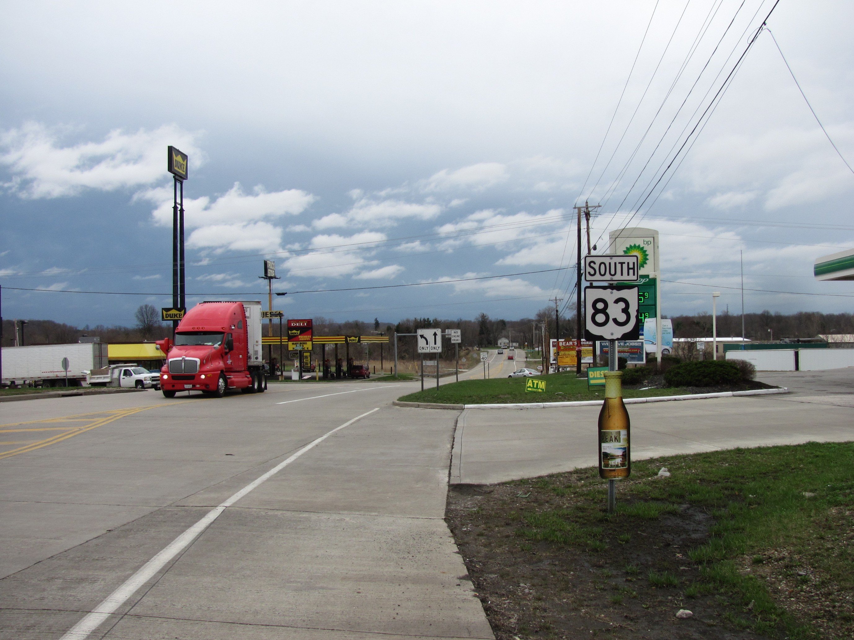
→ Southbound near Burbank, Ohio
State Route 83 is a north–south state highway in the U.S. state of Ohio. Its southern terminus is near the town of Beverly at State Route 60, and its northern terminus is overlooking Lake Erie at U.S. Route 6 in Avon Lake.
A portion of State Route 83 is part of the Morgan County Scenic Byway.
Contents
Junctions
County Location Mile Destinations Notes Washington Waterford Township 0.00 SR 60Southern terminus of SR 83. Morgan Manchester Township 9.50  SR 78
SR 78Eastern terminus of SR 78 concurrence. Bristol Township 12.35 SR 78Western terminus of SR 78 concurrence. 12.54  SR 284
Guernsey Cumberland 25.12  SR 146
 SR 340
Main Street Westland Township 31.42  SR 313
Clay Pike Road Muskingum New Concord 36.25 I-70Junction with I-70 eastbound. 36.43 I-70Junction with I-70 westbound. 37.28  US 22
US 22
 US 40
US 40Main Street Highland Township 41.94  SR 209
Cambridge Road, Western Terminus of SR 209. Monroe Township 47.34  SR 93
SR 93Western terminus of SR 93 concurrence (Adamsville-Otsego Road). 47.65 SR 93Eastern terminus of SR 93 concurrence (Plainfield Road). Coshocton Jackson Township 59.81  SR 16
SR 16Western terminus of SR 16 concurrence. Coshocton 62.57  SR 541
Chestnut Street via interchange. 63.11  US 36
US 36Western terminus of SR 36 concurrence. Tuscarawas Township 63.46 US 36
SR 16Eastern terminus of US 36 and SR 16 concurrence. Keene Township 67.26  SR 643
Holmes Mechanic Township 83.63  US 62
US 62Western terminus of US 62 concurrency. Millersburg 86.55  SR 39
SR 39
US 62Eastern terminus of US 62 concurrency (Jackson Street). Wayne Wooster 103.38  SR 302
 US 250
Western terminus of US 250 concurrency (Dover Road). 105.98 US 250Eastern terminus of US 250 concurrency (Dover Road). 106.20  US 30
US 30Interchange at Lincoln Way 106.28  SR 3
SR 3Southern eastern terminus of SR 3 concurrency. SR 3 intersects SR 83 at the SR 83/SR 3/US 30 junction following an on-ramp that hits SR 83 from the east side. 109.07 SR 3Northern eastern terminus of SR 3 concurrency. SR 83 and SR 3 split with SR 3 heading east and intersecting Cleveland Road, while SR 83 continues northbound and passes over SR 3. This is why there are two eastern termini of SR 3 while it is concurrent with SR 83. Congress Township 117.57  SR 604
Easton Road Medina Harrisville Township 121.19 I-71I-71 Exit 204 Lodi 124.14  SR 421
Bank Street to west, Medina Street to east Harrisville Township 124.94  US 42
US 42
 US 224
Junction with US 42 northbound and US 224 eastbound (Lafayette Road). 124.99 US 42
US 224Junction with US 42 southbound and US 224 westbound (Lafayette Road). Chatham Township 128.77  SR 162
Chatham Road Litchfield 133.45  SR 18
SR 18Southern eastern terminus with SR 18. Southern end of Litchfield traffic circle heading westbound (counterclockwise). Southern terminus with SR 83D (Norwalk Road). 133.53 SR 18Southern eastern terminus with SR 18. Northern end of Litchfield traffic circle heading westbound (counterclockwise). Northern terminus with SR 83D (Norwalk Road). Lorain Grafton Township 138.28  SR 303
Western terminus of SR 303 (Lagrange-Richfield Road). 138.34 SR 303
 SR 57
SR 57Eastern terminus of SR 303 and SR 57 (Medina-Elyria Road). 139.90 SR 57Western terminus of SR 57 (Grafton Road). Eaton Township 143.65 SR 82Royalton Road North Ridgeville 146.34 SR 83C Southern western terminus of SR 83C. 148.97  US 20
US 20
 SR 113
Center Ridge Road Avon 153.77  SR 254
Detroit Road 154.09 I-90
SR 2I-90/OH-2 Exit 153 Avon Lake 157.59 US 6Northern terminus of SR 83 at Lake Road. 1.000 mi = 1.609 km; 1.000 km = 0.621 mi Route 83C
Route 83C is an unsigned, ¾-mile[1] route connecting SR 83 with SR 10 in North Ridgeville. Route 83C runs west from SR 83 along Butternut Ridge Road, and then north on Lorain Road to intersect SR 10. SR 83C then intersects Chestnut Ridge Road and runs eastbound along Chestnut Ridge Road until intersecting SR 83 again, where SR 83C ends. Route 83C exists because SR 83 bridges over SR 10 and would not have intersected SR 10 otherwise. The route is marked "To SR 10" westbound and "To SR 83" eastbound.
History
- 1972 – Certified as State Route 83[2] when this designation replaced that of State Route 76 (which was removed to prevent confusion with Interstate 76 after its completion). At this time, the designation was also routed along a new divided highway south and west of Coshocton[2].
Before 1960
- 1924 – Original route established[3] from Ashtabula to the Pennsylvania state line south of Conneaut[2].
- 1926 – Rerouted through Kingsville (village east of Ashtabula) along the current State Route 84 alignment[2].
- 1938 – Rerouted from Ashtabula to Kelloggsville (village south of Conneaut) along previously unnumbered roads; alignment through Kingsville certified as State Route 84[2].
- 1960 – Route decertified[2].
Sources
- ^ a b Ohio Department of Transportation. "Technical Services Straight Line Diagrams". http://www.odotonline.org/techservapps/SLD/default.htm. Retrieved 2010-04-30.
- ^ a b c d e f Route 83 (The Unofficial Ohio State Highways Web Site) by John Simpson
- ^ Explanation of the Ohio State Highway System (The Unofficial Ohio State Highways Web Site) by John Simpson
External links
Categories:- State highways in Ohio
- Transportation in Washington County, Ohio
- Transportation in Morgan County, Ohio
- Transportation in Noble County, Ohio
- Transportation in Guernsey County, Ohio
- Transportation in Muskingum County, Ohio
- Transportation in Coshocton County, Ohio
- Transportation in Holmes County, Ohio
- Transportation in Wayne County, Ohio
- Transportation in Medina County, Ohio
- Transportation in Lorain County, Ohio
- Scenic byways in Ohio

Wikimedia Foundation. 2010.