- Ohio State Route 9
-
State Route 9
Route information Maintained by ODOT Length: 92.82 mi[1] (149.38 km) Existed: 1935 – present Major junctions South end:  SR 148 near Armstrongs Mills
 I-70 near St. Clairsville

 US 22 / US 250 near Cadiz


 SR 39 / SR 43 / SR 332 in Carrollton
 US 30 / SR 644 near Kensington
North end:  US 62 near Salem
Location Counties: Belmont, Harrison, Carroll, Columbiana Highway system Ohio highways
Interstates • U.S. Routes • State Routes←  SR 8
SR 8SR 10  →
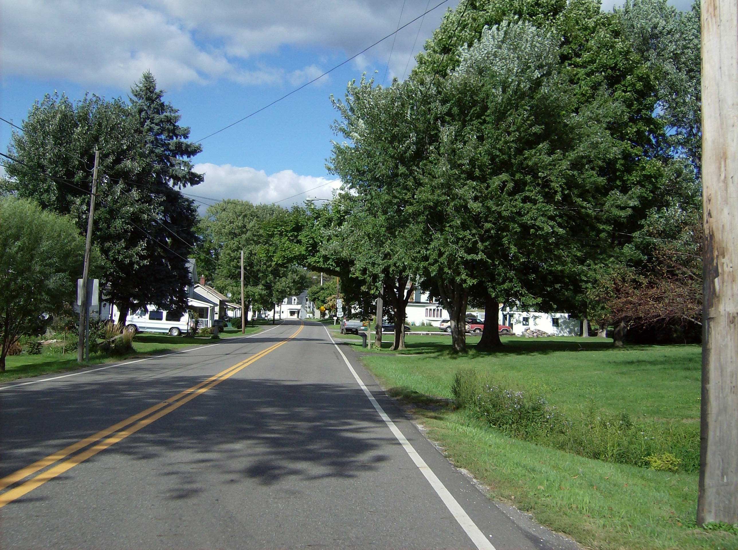
→ Northbound along State Route 9, approaching U.S. Route 30 in Kensington
State Route 9 is a north–south route running through four counties in east central Ohio. Its route is 92 miles (148 km) long. The southern terminus is at Route 148 in Armstrongs Mills and the northern terminus is with U.S. Route 62 north of Salem.
This route can prove treacherous to the unsuspecting driver. For much of its length, this road travels along high ledges with many hills, blind corners and hairpin curves.
Contents
Route description
History
- before 1931 - Route 9 ran from Cincinnati to Michigan[2]. This highway followed the current U.S. Highway 127 from the Ohio River at Cincinnati to just south of Bryan and followed current Ohio State Route 15 northward to the Michigan state line.
- 1935 – New incarnation of route 9 certified[3];Originally routed from Malaga to Salem along current routes 145, 148, and 9[2].
- 1938 – Southern end truncated to Armstrongs Mills[2].
- 1974 – Northern end extended through Salem to 2 miles (3.2 km) north of Salem[2].
Major intersections
County Location Mile Destinations Notes Belmont Armstrongs Mills 0.00 SR 148Southern terminus. SR 148 crosses east–west. Smith Township 6.00  SR 147
SR 147 joins from the east. 6.77 SR 147SR 147 leaves to the west. Warnock 10.51  SR 149
SR 149 joins from the west. 10.54 SR 149SR 149 leaves to the east. St. Clairsville 14.76 I-70Full interchange. I-70 crosses east–west. 15.58  US 40
US 40US 40 crosses east–west. Harrison Athens Township 24.92 SR 149Northern terminus of SR 149. New Athens 25.46  SR 519
SR 519 crosses east–west. Cadiz 32.14 US 250US 250 joins from the southeast. 32.99 US 22
US 250Full interchange. US 22 crosses east–west.
US 250 leaves onto US 22 West.Rumley Township 40.20  SR 151
SR 151 joins from the west. Jewett 42.01 SR 151SR 151 leaves to the east. Rumley Township 46.33  SR 646
SR 646 joins from the east. 46.92 SR 646SR 646 leaves to the west. Carroll Loudon Township 51.44  SR 164
SR 164 briefly joins from the west. 51.50 SR 164SR 164 leaves to the east. Lee Township 56.71 SR 43SR 43 joins from the southeast. Carrollton 61.59 SR 39SR 39 joins from the east. 62.10 SR 39
SR 43
SR 332SR 9 turns north.
SR 39/SR 43 continue to the east.
SR 332 begins to the south (Northern terminus).Washington Township 65.78  SR 171
SR 171 begins to the west (Eastern terminus). Columbiana Kensington 77.07 US 30
SR 644US 30 joins from the west.
SR 644 begins to the east (Northern terminus).Hanoverton 78.61 US 30US 30 leaves to the east, SR 9 heads north. Hanover Township 81.82  SR 172
SR 172 crosses east–west. Perry Township 89.12  SR 45
SR 45SR 45 (Salem bypass) crosses east–west. Salem 90.78  SR 14
SR 14
 SR 173
SR 14 joins from the west.
SR 173 begins to the west (Eastern terminus).91.04 SR 14
 SR 344
SR 14 leaves to the east.
SR 344 begins to the south (Western terminus).92.82 US 62Northern terminus. US 62 runs to the north and west. 1.000 mi = 1.609 km; 1.000 km = 0.621 mi References
- ^ Mileages retrieved from Technical Services Straight Line Diagrams unless otherwise noted.
- ^ a b c d Route 9 (The Unofficial Ohio State Highways Web Site) by John Simpson
- ^ Explanation of the Ohio State Highway System (The Unofficial Ohio State Highways Web Site) by John Simpson
External links
Categories:- State highways in Ohio
- Transportation in Belmont County, Ohio
- Transportation in Carroll County, Ohio
- Transportation in Columbiana County, Ohio
- Transportation in Harrison County, Ohio

Wikimedia Foundation. 2010.