- Great Miami River
Infobox River
river_name = Great Miami River
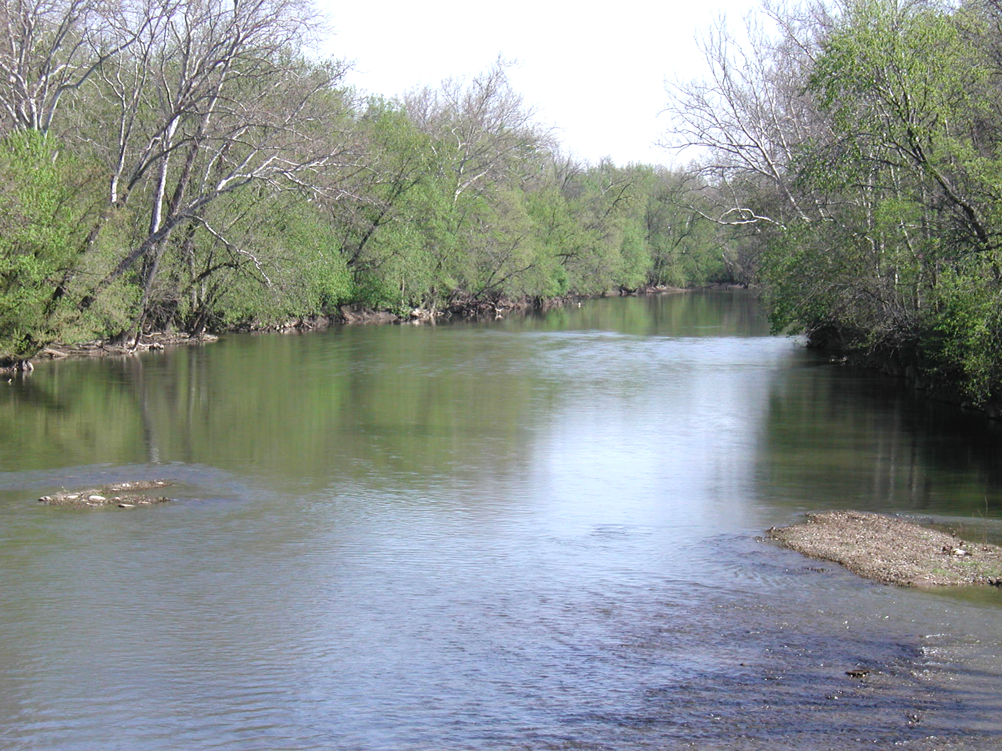
caption = The Great Miami River near Vandalia
origin = coord|40|28|04|N|83|52|33|W|region:US-OH_type:river_source:GNIS|name=Great Miami River sourceGnis|1077579] from Indian Lake, Russells Point, Logan County,Ohio
mouth = coord|39|06|31|N|84|48|52|W|region:US-OH_type:river_source:GNIS|display=inline,title|name=Great Miami River mouthOhio River in Hamilton County,Ohio , just East of theIndiana state line.
basin_countries =United States of America
length = convert|150|mi|km
elevation = 998 ft (304 m)
mouth_elevation = convert|449|ft|m
discharge = 5,368 ft³/s (152 m³/s)
watershed = 5,373 mi² (13,915 km²)The Great Miami River (also called the Miami River) is a tributary of theOhio River , approximately convert|150|mi|km long, in southwesternOhio in theUnited States .The Great Miami flows through Dayton, Piqua, Troy, and Sidney.The river is named for the Miami, an Algonquian-speaking Native American people who lived in the region during the early days of European settlement.
The region surrounding the Great Miami River is known as the Miami Valley, an economic-cultural region centered primarily on the Greater Dayton area.
Course
The main course of the Great Miami River rises from the outflow of Indian Lake in Logan County, about convert|1|mi|km South-East of the village of Russells Point, approximately convert|15|mi|km South-East of Lima. Indian lake is an artificial
reservoir which receives the flow from the North and South forks of the Great Miami River. It flows South and South-West, past Sidney, and is joined byLoramie Creek in northern Miami County. It flows south past Piqua and Troy, and throughTaylorsville Dam near Tipp City and Vandalia. It continues through Dayton, where it is joined by the Stillwater and the Mad rivers and Wolf Creek.From Dayton it flows South-West past Miamisburg, Middletown and Hamilton in the South-Western corner of Ohio. In South-Western Hamilton County it is joined by the Whitewater River approximately convert|5|mi|km upstream from its mouth on the
Ohio River , just East of theOhio -Indiana state line, approximately convert|16|mi|km West of Cincinnati.Natural and human history
The
Miami and Erie Canal , which connected the Ohio River withLake Erie , was built through the Great Miami watershed. The first portion of the canal, from Cincinnati to Middletown was operational in 1828, and extended to Dayton in 1830. [http://www.dnr.state.oh.us/water/canals/canlhist.htm] Water from the Great Miami fed into the canal. [http://www.middle-america.org/crout/Economic/ch_04.html] . A later extension to the canal, the Sidney Feeder, drew water from the upper reaches of the Great Miami from near Port Jefferson and Sidney. The canal served as the principal route of transportation for western Ohio until being supplanted by railroads in the 1850s.Following a catastrophic
flood in March, 1913, theMiami Conservancy District was established in 1914 to builddams andlevee s and todredge and straighten channels to control flooding of the river.Lists
Names
The Great Miami River has also been known as:
*Assereniet River
*Big Miami River
*Gran Miammee Fiume
*Grande Miami Riviere
*Great Miama River
*Great Miamia River
*Great Miammee River
*Great Mineami River
*Miami River
*Riviere a la Roche
*Rocky Fiume
*Rocky River
*Big Mineamy River
*Great Miamis River
*Great Miyamis River
*Miamis River
*Riviere La Rushes
*Rockey RiverTributaries
*
Loramie Creek
*Mad River (Ohio)
*Stillwater River (Ohio)
*Whitewater River (Indiana)
*Wolf CreekReferences
* Arthur Benke & Colbert Cushing, "Rivers of North America", Elsevier Academic Press, 2005 ISBN 0-12-088253-1
ee also
*
Little Miami River
*List of Ohio rivers
Wikimedia Foundation. 2010.