- Champawat
-
This article is about the municipality in Uttarakhand, India. For its namesake district, see Champawat district.
Champawat
चम्पावत
— town — Sri Purnagiri Temple, Champawat
Coordinates 29°20′N 80°06′E / 29.33°N 80.10°ECoordinates: 29°20′N 80°06′E / 29.33°N 80.10°E Country India State Uttarakhand District(s) Champawat Population 3,958 (2001[update]) Time zone IST (UTC+05:30) Area
• 1,610 metres (5,280 ft)
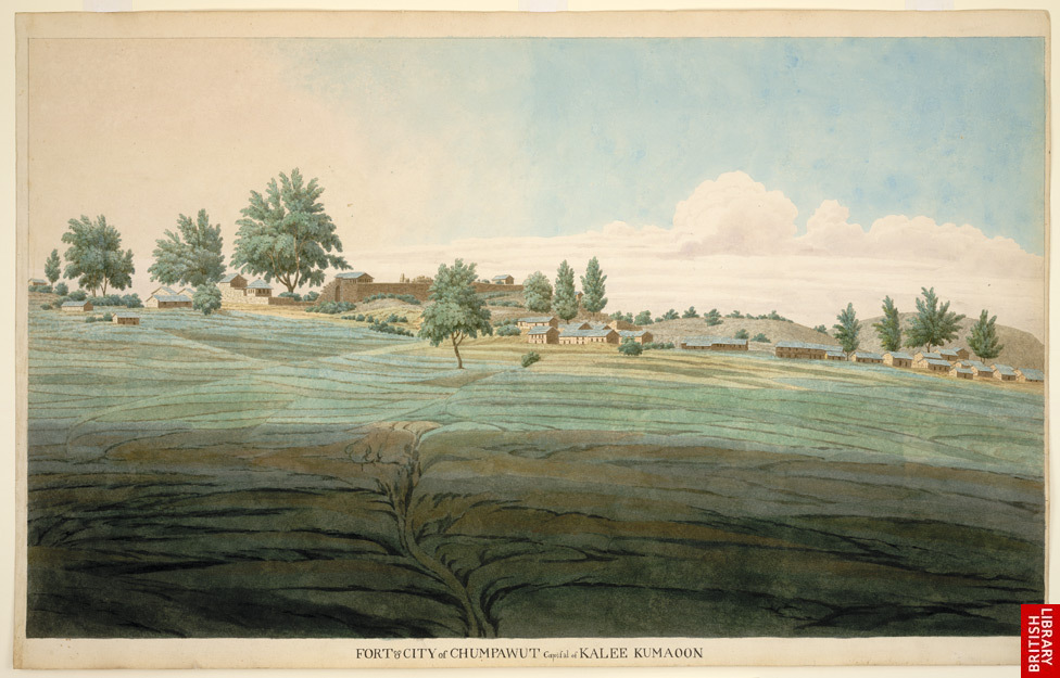
Website 210.212.78.56/50cities/champawat/english/home.asp 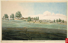 Fort and the capital city of Kali Kumaon, Champawat, 1815.
Champawat (Hindi: चम्पावत) is a town and a nagar panchayat in Champawat district in the state of Uttarakhand, India. It is the administrative headquarters of Champawat district.
Contents
Mythology
Champwat is believed to the place where the Kurmavtar (the turtle incarnation of Lord Vishnu) took place.
History
Champawat was formerly the capital of the Chand dynasty rulers. The Baleshwar Temple built by the Chand rulers in 16th century is an excellent monument with marvelous stone carving works.
Champawat was home to the Champawat Tiger.
Geography
Champawat is located at 29°20′N 80°06′E / 29.33°N 80.10°E.[1] It has an average elevation of 1,610 metres (5,280 feet).
Demographics
As of 2001[update] India census,[2]<marquee> Champawat had a population of 3958. Males constitute 57% of the population and females 43%. Champawat has an average literacy rate of 73%, higher than the national average of 59.5%; with male literacy of 78% and female literacy of 67%. 14% of the population is under 6 years of age.
See also
References
- ^ Falling Rain Genomics, Inc - Champawat
- ^ "Census of India 2001: Data from the 2001 Census, including cities, villages and towns (Provisional)". Census Commission of India. Archived from the original on 2004-06-16. http://web.archive.org/web/20040616075334/http://www.censusindia.net/results/town.php?stad=A&state5=999. Retrieved 2008-11-01.
External links
Cities and towns in Champawat district Champawat Banbasa · Champawat · Lohaghat · Tanakpur · Vikasnagar
Cities and towns
in other districtsAlmora · Bageshwar · Chamoli · Dehradun · Haridwar · Nainital · Pauri Garhwal · Pithoragarh · Rudraprayag · Tehri Garhwal · Udham Singh Nagar · Uttarkashi
Districts Almora · Bageshwar · Champawat · Nainital · Pithoragarh · Udham Singh Nagar
Categories:- Cities and towns in Champawat district
- Hill stations in India
- Champawat
- Former Indian capital cities
- Uttarakhand geography stubs


Wikimedia Foundation. 2010.