- Downsville Bridge
-
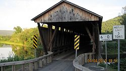
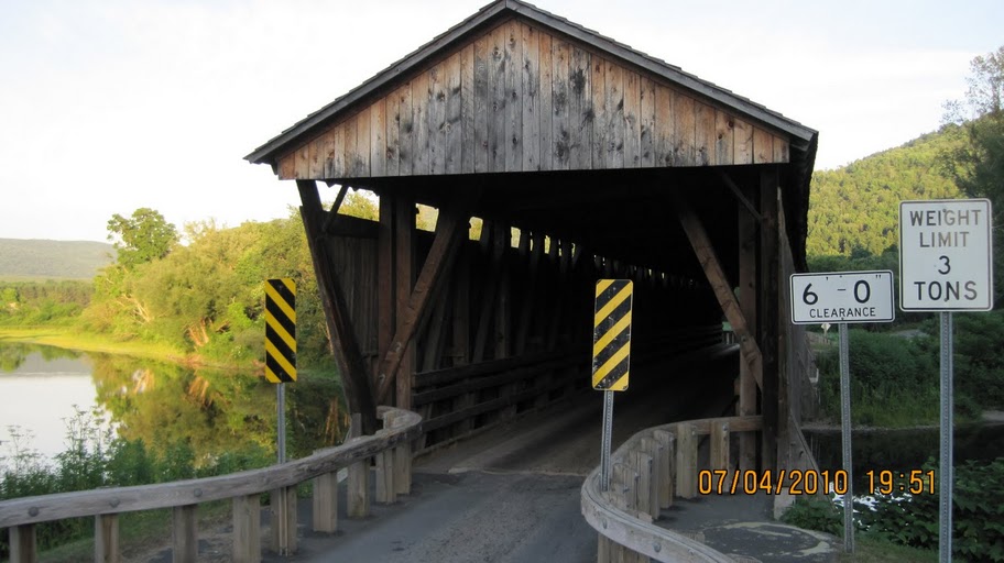
Downsville Covered Bridge
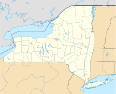

Location: East Branch of the Delaware River, Bridge St., Downsville, New York Coordinates: 42°4′34″N 74°59′28″W / 42.07611°N 74.99111°WCoordinates: 42°4′34″N 74°59′28″W / 42.07611°N 74.99111°W Area: less than one acre Built: 1854 Architect: Murray, Robert Governing body: Local NRHP Reference#: 99000503
[1]Added to NRHP: April 29, 1999 Downsville Bridge is a wooden covered bridge over the East Branch of the Delaware River in the hamlet of Downsville in Delaware County, New York.
It was listed on the National Register of Historic Places in 1999.[1]
See also
- List of bridges on the National Register of Historic Places in New York
- National Register of Historic Places listings in Delaware County, New York
References
- ^ a b "National Register Information System". National Register of Historic Places. National Park Service. 2009-03-13. http://nrhp.focus.nps.gov/natreg/docs/All_Data.html.
External links
- Downsville Bridge, at New York State Covered Bridge Society
- Downsville Bridge, at Covered Bridges of the Northeast USA, a website developed by Hank Brickel
Categories:- Bridges on the National Register of Historic Places in New York
- National Register of Historic Places in Delaware County, New York
- Covered bridges in New York
- Bridges completed in 1854
- Wooden bridges in the United States
- Transportation in Delaware County, New York
- Visitor attractions in Delaware County, New York
- Road bridges in New York
- Delaware County, New York Registered Historic Place stubs
- New York building and structure stubs


Wikimedia Foundation. 2010.