- Downsville, New York
-
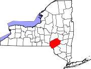
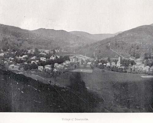
Downsville, New York is a hamlet and former village within the town of Colchester in Delaware County, New York.[1]
It is the site of the Downsville Bridge, a covered bridge and the historic Union Free School.
Downsville is located on the East Branch of the Delaware River. A dam on this portion of the river, at Downsville, was completed by New York City in 1954, creating the Pepacton Reservoir, which is part of the New York City water supply system.
Downsville Central School, located on Maple Avenue, serves families from the surrounding areas, including municipalities as far away as East Branch. Downsville Central School's colors are purple and white and their mascot is the Eagle.
References
- ^ "Local Government Handbook - Table 13" (PDF). New York State Department of State. 2008. pp. 77. http://www.dos.state.ny.us/lgss/pdfs/Handbook.pdf#page=77. Retrieved 2009-06-06.
External links
Municipalities and communities of Delaware County, New York Towns Andes | Bovina | Colchester | Davenport | Delhi | Deposit | Franklin | Hamden | Hancock | Harpersfield | Kortright | Masonville | Meredith | Middletown | Roxbury | Sidney | Stamford | Tompkins | Walton
Villages Delhi | Deposit‡ | Fleischmanns | Franklin | Hancock | Hobart | Margaretville | Sidney | Stamford | Walton
Hamlets Andes | Arkville | Downsville | Grand Gorge | Islamberg
Footnotes ‡This populated place also has portions in an adjacent county or counties
Coordinates: 42°04′51″N 74°59′45″W / 42.08083°N 74.99583°W
Categories:- New York geography stubs
- Former villages in New York
- Populated places in Delaware County, New York

Wikimedia Foundation. 2010.