- Moombooldool, New South Wales
-
Moombooldool
New South Wales
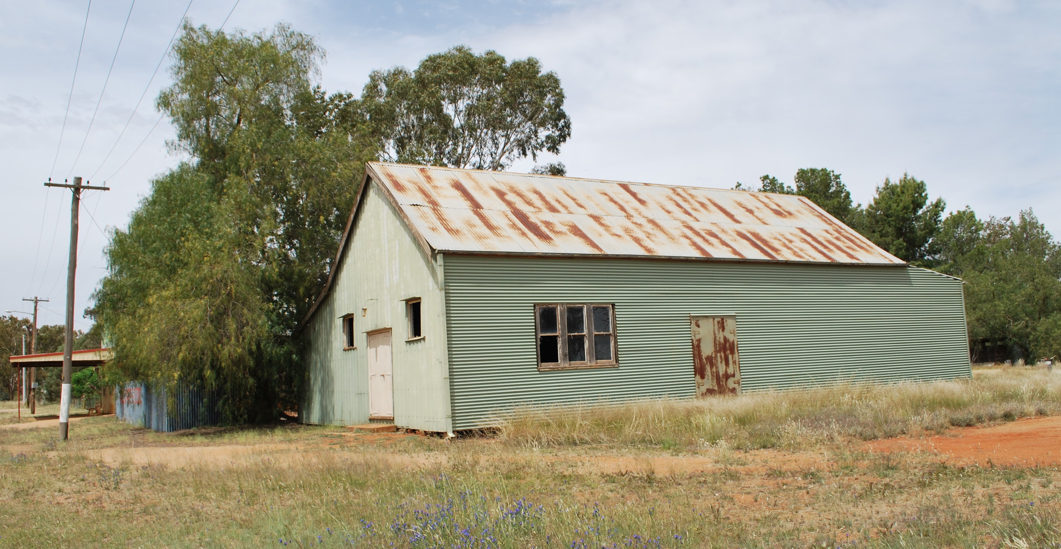
Public hall at Moombooldool
 Moombooldool
Postcode: 2665 Coordinates: 34°18′6″S 146°40′41″E / 34.30167°S 146.67806°ECoordinates: 34°18′6″S 146°40′41″E / 34.30167°S 146.67806°E Elevation: 158 m (518 ft) Location: - 511 km (318 mi) SW of Sydney
- 503 km (313 mi) N of Melbourne
- 62 km (39 mi) E of Griffith
- 68 km (42 mi) N of Narrandera
- 10 km (6 mi) E of Barellan
LGA: Narrandera Shire County: Cooper State District: Murrumbidgee Federal Division: Riverina Moombooldool is a village community in the central north part of the Riverina. It is situated by road, about 9 kilometres east from Barellan and 12 kilometres west from Kamarah.
Moombooldool Post Office opened on 15 April 1912 and closed in 1982.[1] The railway line opened in 1908. The station closed in 1975 however the line remains open for goods trains.[2]
Notes and references
- ^ Premier Postal History, Post Office List, https://www.premierpostal.com/cgi-bin/wsProd.sh/Viewpocdwrapper.p?SortBy=NSW&country=, retrieved 2009-06-11
- ^ Moombooldool Station. NSWrail.net, accessed 10 November 2010.
External links
Preceding station NSW Branch lines Following station towards RotoTemora- Roto Line towards TemoraBarellan · Binya · Colinroobie · Corobimilla · Grong Grong · Kamarah · Kywong · Moombooldool · Narrandera
Main Article: Local Government Areas of New South WalesCategories:- Towns in New South Wales
- Towns in the Riverina
- Riverina geography stubs

Wikimedia Foundation. 2010.