- Howlong, New South Wales
Infobox Australian Place | type = town
name = Howlong
state = nsw
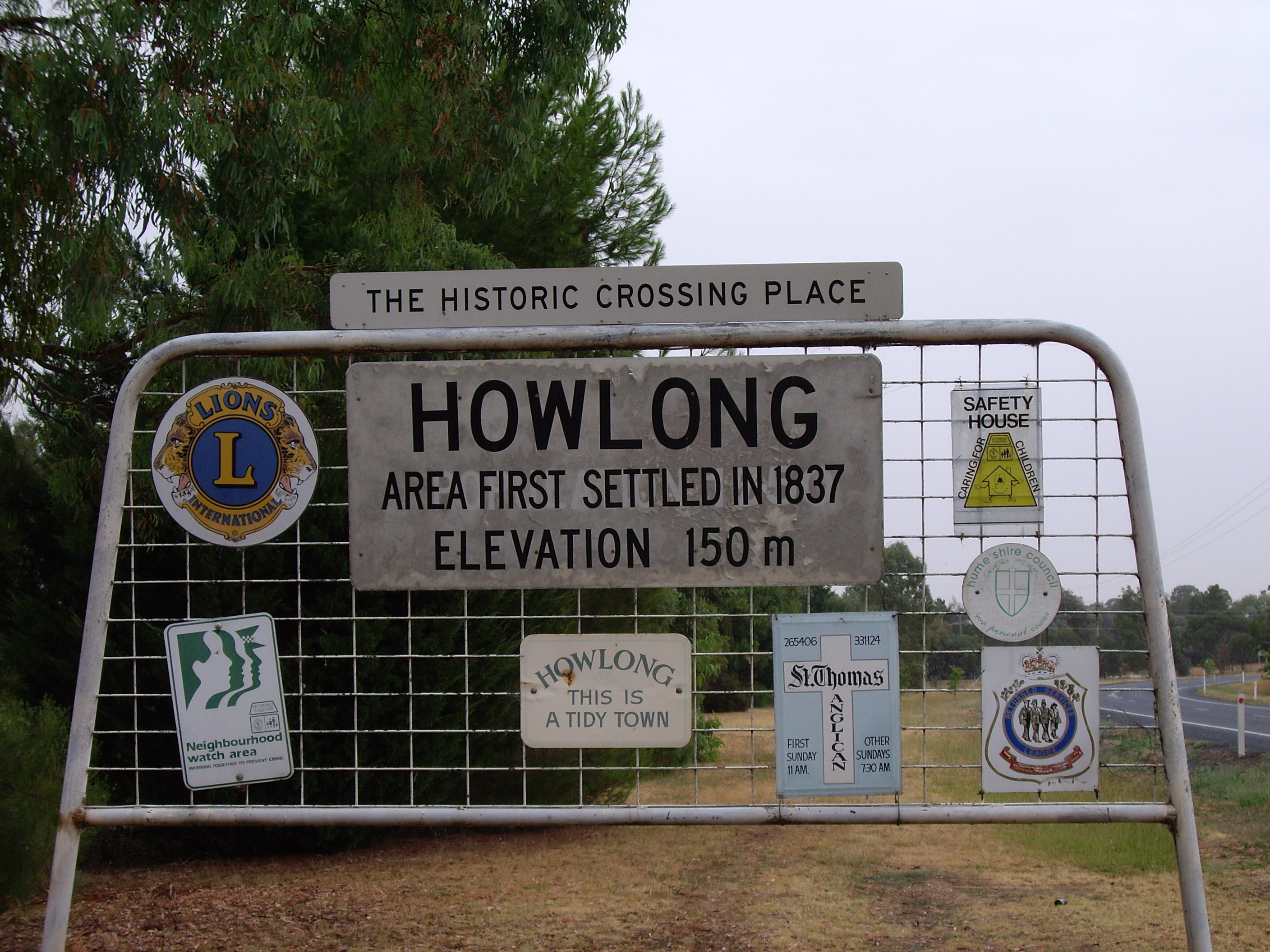
caption = Entering Howlong
lga =Corowa Shire Council
postcode = 2643
pop = 1,946 (2001 Census)
est =1854
elevation=
maxtemp =
mintemp =
rainfall =
county = Hume
stategov = Albury
fedgov = Farrer
dist1 = 582
location1=Sydney
dist2 = 297
location2=Melbourne
dist3 = 29
location3= AlburyHowlong is a town 28 kilometres west of Albury, and is situated on the
Murray River which separates theAustralia n states ofNew South Wales and Victoria. The town is located on theRiverina Highway and has a population of 2,403 [Australian Bureau of Statistics 2001 Census] people. There is a bridge across the Murray into Victoria. Howlong is in the Corowa Shire Local government area.Prior to the founding of the township the Surveyor-General of New South Wales at that time Major
Thomas Mitchell crossed the Murray River during his exploration of the area. Indeed there is a monument to Mitchell on the Victorian side of the river which states that Mitchell and his party camped at the location on17 October 1836 and then crossed the river slightly downstream of their camping point, on the following day.Two years later two men with a property in the area set off on the longest cattle drive of its kind attempted in Australia at that time driving 300 head to
South Australia .Also in
1838 the site of the Mitchell river crossing became the location of the first postage mail delivery by a mail carrier, John Conway Bourke when he undertook to deliver the overland mail fromSydney to what would later be calledMelbourne .The township appears to have taken its title from a property named Hoolong in the area which was owned by Isaac Rudd and was named after an Aboriginal place name meaning 'beginning of the plains'.
Howlong as a township was laid out in
1854 and is now an important inland township which services the smaller villages of the area with a range of stores that meet most of the everyday needs of the people of the area. Nearby villages in the area include Brocklesby, Walbundrie & ChilternLocal sporting clubs include the
Howlong Football Club , who compete in theHume Football League .The town is immortalised in the song "By the time I get to Howlong" from
Spiderbait 's album "Grand Slam".References
Wikimedia Foundation. 2010.