- Walbundrie, New South Wales
Infobox Australian Place | type = town
name = Walbundrie
state = nsw
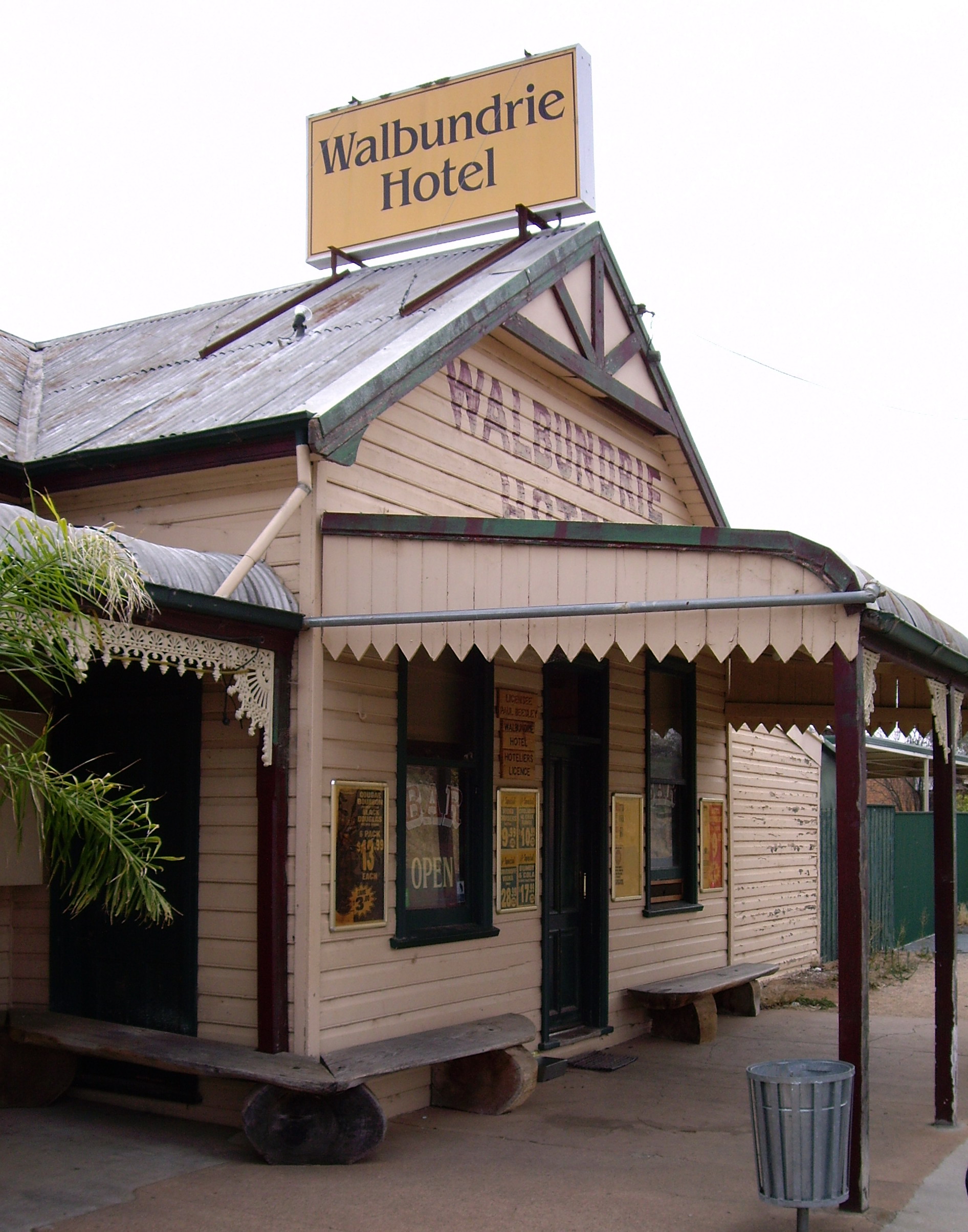
caption = Walbundrie Hotel
lga =Greater Hume Shire Council
postcode = 2642
pop = 190
pop_footnotes =
est =
elevation= 151
maxtemp =
mintemp =
rainfall =
county = Hume
stategov = Albury
fedgov =
dist1 = 51
location1= Albury
dist2 = 14
location2= BrocklesbyWalbundrie is a village in the eastern
Riverina district ofNew South Wales ,Australia . The village is located 546 kilometres south west of the state capital,Sydney and 335 kilometres north ofMelbourne . Situated on the bank of theBillabong Creek , at the 2006 census, Walbundrie had a population of 190.Census 2006 AUS
id=SSC19237
name=Walbundrie (State Suburb)
accessdate=2007-10-25
quick=on] . Walbundrie is in the Greater Hume Shire Local government area.Billabong Creek passes immediately south of the town.The major industry in and around Walbundrie is agriculture, including grain production and wool growing.
Australian rules football is the most popular sport.External links
* [http://www.humeshire.nsw.gov.au/about/3915.html Greater Hume Shire Council] - Official site
References
Wikimedia Foundation. 2010.