- Millwood, New South Wales
-
Millwood
New South Wales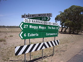
Intersection at Millwood
 Millwood
Postcode: 2650 Coordinates: 35°1′16″S 147°8′41″E / 35.02111°S 147.14472°ECoordinates: 35°1′16″S 147°8′41″E / 35.02111°S 147.14472°E Elevation: 233 m (764 ft) Location: - 6 km (4 mi) from Currawarnaa
- 26 km (16 mi) from Coolamon
LGA: City of Wagga Wagga County: Bourke State District: Wagga Wagga Millwood is a rural community in the central east part of the Riverina. It is situated by road, about 6 kilometres south east from Currawarna and 26 kilometres south from Coolamon.
Millwood Post Office opened on 20 September 1898 and closed in 1918. [1]
Gallery
-

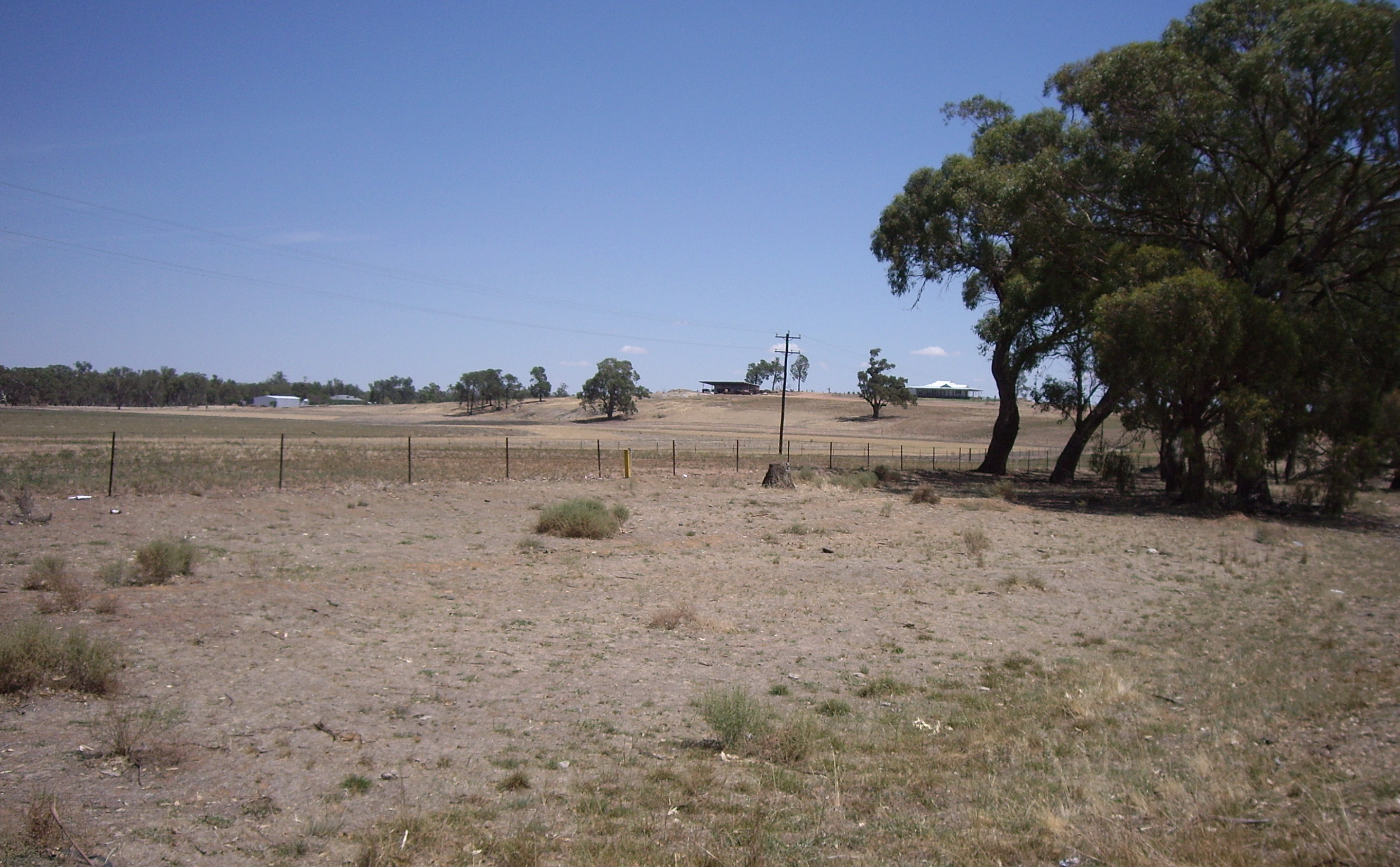
A rural property at Millwood
-

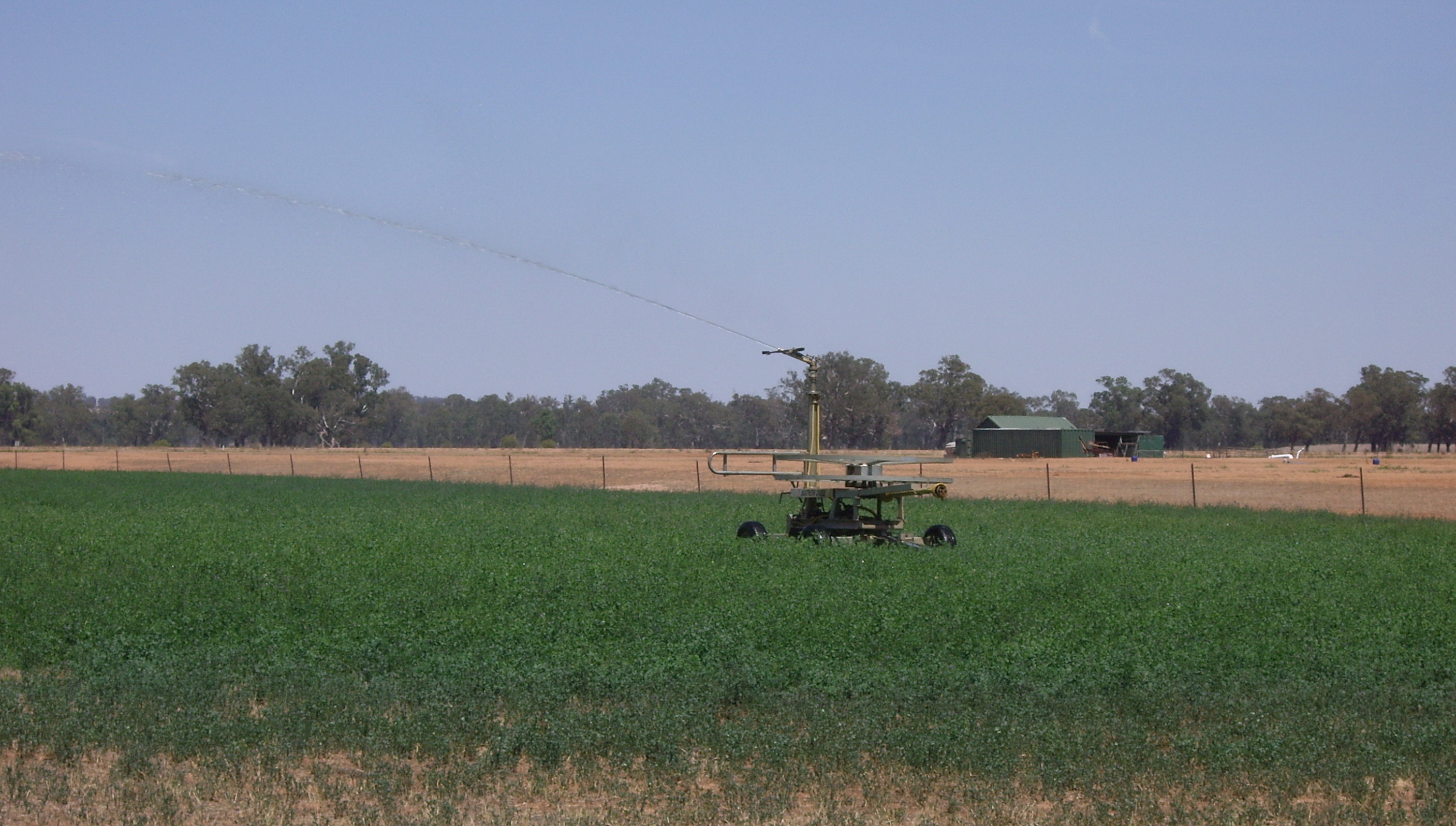
Impact irrigation at Millwood
Notes and references
- ^ Premier Postal History, Post Office List, https://www.premierpostal.com/cgi-bin/wsProd.sh/Viewpocdwrapper.p?SortBy=NSW&country=, retrieved 2009-06-11
Categories:- Towns in New South Wales
- Towns in the Riverina
- Riverina geography stubs


Wikimedia Foundation. 2010.