- Laurel Hill, New South Wales
Infobox Australian Place | type = town
name = Laurel Hill
state = nsw
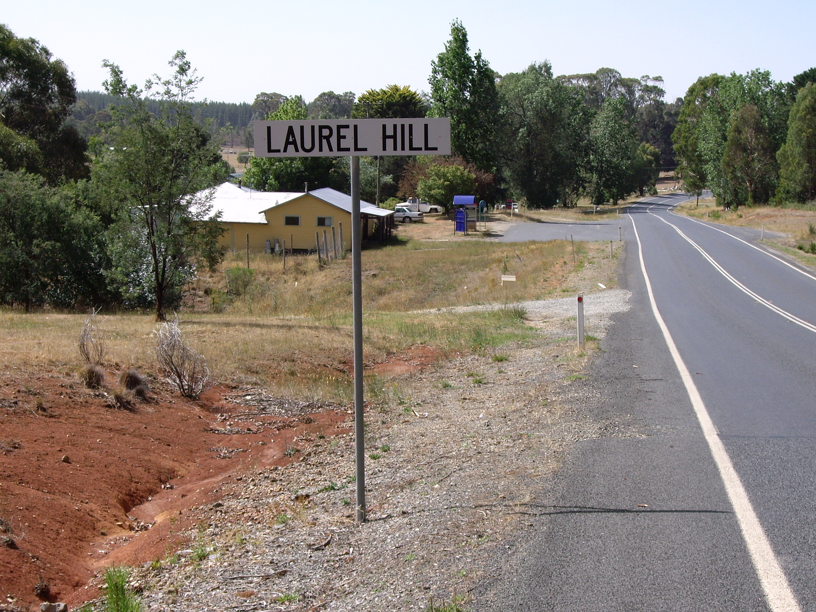
caption = Laurel Hill
lga =Tumbarumba Shire Council
postcode = 2649
coordinates = coord|35|36|1|S|148|5|35|E |scale:100000_region:AU-NSW |display=title,inline
pop = 165 (within 7 km radius)
est =
elevation= 1045
maxtemp =
mintemp =
rainfall =
county = Wynyard
stategov = Albury
fedgov =
dist1 = 14
location1= Batlow
dist2 = 22
location2= TumbarumbaLaurel Hill is a village community in the south east part of the
Riverina , inNew South Wales ,Australia . It is situated by road, about 14 kilometres south from Batlow and 22 kilometres north from Tumbarumba. It has a population within a 7 kilometre radius of approximately 165 people. [ [http://www.fallingrain.com/world/AS/2/Laurel_Hill.html www.fallingrain.com Laurel Hill] ]Laurel Hill Prison Farm was established in 1957. It was renamed the Leslie Nott Afforestation Camp in 1958 and then the Laurel Hill Forest Camp, under the direction of the Forestry Commission of New South Wales. It is now a privately owned conference centre. [cite web | year = 2006 | url = http://www.laurelhillforestlodge.com.au/history.htm | title = History: Laurel Hill Forest Lodge | work = | publisher = Laurel Hill Forest Lodge | accessdate = 2007-01-30] [cite web
last = Ramsland | first = John | authorlink = | coauthors = | year = 2005 | url = http://www.adb.online.anu.edu.au/biogs/AS10376b.htm | title = Nott, Leslie Cecil Joshua (1895 - 1963) | work = | publisher = Australian Dictionary of Biography | accessdate = 2007-01-30]Notes and references
Wikimedia Foundation. 2010.