- Batlow, New South Wales
Infobox Australian Place | type = town
name = Batlow
state = nsw
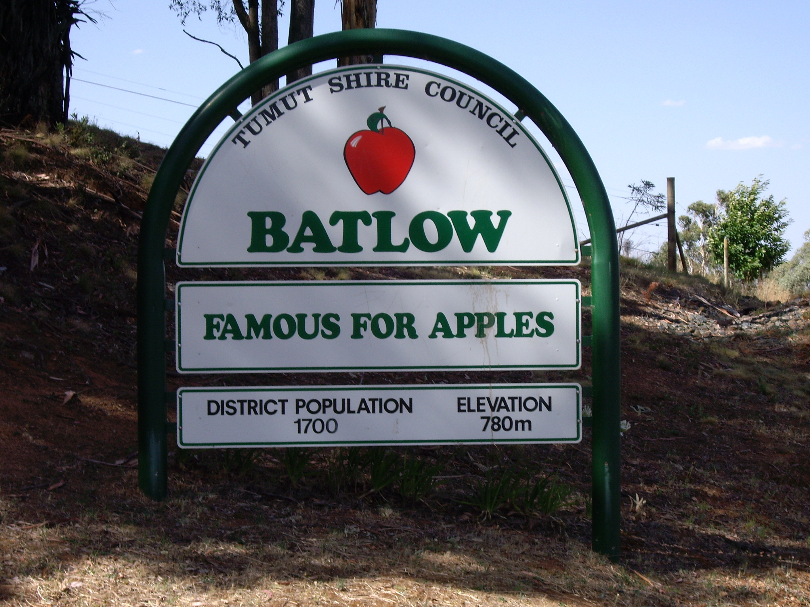
caption = Entering Balow
lga = Tumut Shire
postcode = 2730
pop = 1,369 (2001)
elevation= 725
est = 1850s
county = Wynyard
stategov = Wagga Wagga
fedgov = Eden-Monaro
dist1 = 438
location1= Sydney
dist2 = 112
location2= Wagga Wagga
dist3 = 14
location3= Laurel Hill
dist4 = 14
location4= Wondalga [ [http://www.travelmate.com.au/MapMaker/MapMaker.asp Travelmate] ]Batlow is a town within the South West Slopes region of
New South Wales ,Australia , on the edge of theGreat Dividing Range , 725 m above sea level.Batlow is well known for its apples, supplying 1.6 million cases per year (10% of Australian apple crop) from about 50 growers in the district to the Australian market, and also grows cherries and stone fruit. The town's main landmark, the "Big Apple", stands testament to the orchards which have been vital to the town's economy for over 120 years.
History
Prior to European settlement the
Wiradjuri people lived in the Batlow area.Hamilton Hume andWilliam Hovell were the first Europeans to explore the area in 1824, en route toPort Phillip Bay .When gold was discovered in the area in 1854, a small settlement called Reedy Creek was established as a supply point and service centre for the mining area, and a Mr Batlow surveyed a townsite nearby. The gold deposits were quickly exhausted, but farmers found the area better suited to a variety of crops, so the mining supply point was moved and the current township established around 1855. Fruit trees and timber quickly became the main sources of income for the town, and in 1910 the townsite was gazetted.
In 1922, the first cool stores in New South Wales were constructed in the town, and at the same time a railway was built from nearby Tumut, which facilitated the town's trade with Sydney and beyond, even supplying troops with dehydrated fruit and vegetables during
World War II . [cite web|url=http://www.smh.com.au/news/New-South-Wales/Batlow/2005/02/17/1108500192661.html|title=Travel - Batlow|author=Sydney Morning Herald |accessdate=2006-10-30]Geography
Batlow is located west of
Canberra , but is not close (~225 km) in road terms due to theGreat Dividing Range between them. The nearest city is Wagga, while three towns are within 40 km: Tumut (NE), Adelong (NW) and Tumbarumba (S).The countryside around Batlow is a plateau of rolling hills situated just under 1000 m. Being on the inside edge of the Great Dividing Range, Batlow receives all of the precipitation that has not fallen previously, which is an average of 1300 mm per year. In 2006, Batlow received the most severe downturn in rainfall in New South Wales. [cite web|url=http://www.smh.com.au/news/environment/crunch-time-for-dried-out-apple-country/2007/01/07/1168104868047.html|title=Crunch Time for Apple Growers|author=
Sydney Morning Herald |accessdate=2007-12-29] Little or no rain is received from ocean to the east, due to the large distances and theGreat Dividing Range . The cold winters combined with the higher rainfall and good soils make an excellent apple growing climate.Present day
Batlow is an agricultural town offering services and facilities to the surrounding area, including two primary schools and a high school, a library (with
telecentre ), a hall and several stores and small businesses. The Batlow Fruit Co-operative, trading since 1922, is based in the town.Batlow's economy turns around the production of apples for the fresh food market. Some revenue is also obtained from other agricultural exploitations and timber from the large soft and hardwood plantations. There is a strong influx of seasonal labour for the harvesting of fruit from March to April. A smaller influx occurs at thinning time in December.
The 430 km² Bago State Forest between Batlow and Tumbarumba contains stands of alpine ash and radiata pine.
Politics
Batlow is in the Tumut Shire and the Mayor of the Tumut Shire is Trina Thomson. Batlow was moved to the
bellwether Federal Division of Eden-Monaro for the 2007 Federal election. With Batlow usually voting overwhelmingly conservative, the vote swung to the the centre leftAustralian Labor Party member Mike Kelly by 26%. [cite web | last = AEC | authorlink = Australian Electoral Commission | year = 2007 | url = http://results.aec.gov.au/13745/website/HousePollingPlaceFirstPrefs-13745-1247.htm | title = Polling Place Results | publisher = AEC | accessdate = 2007-12-29]See also
*
Australia's Big Things
* Batlow railway lineReferences
External links
* [http://www.batlowapples.com.au/ Batlow Apples]
* [http://nla.gov.au/nla.pic-an22669997 Picture of the Big Apple] c.1986 (National Library of Australia )
* [http://www.tumut.nsw.gov.au/ Tumut Shire Council]
Wikimedia Foundation. 2010.