Currawarna, New South Wales
- Currawarna, New South Wales
Infobox Australian Place | type = town
name = Currawarna
state = nsw
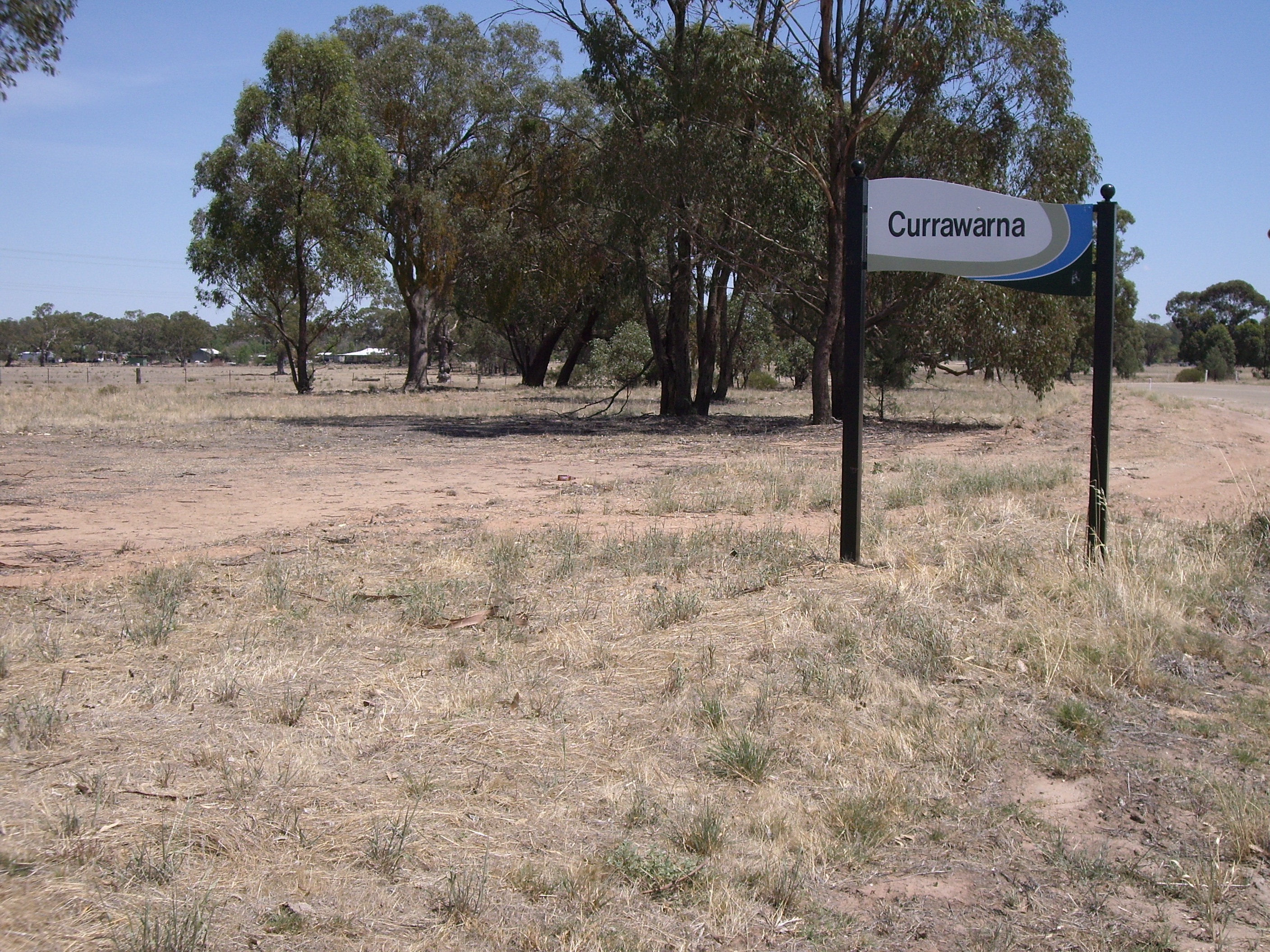
caption = Entering Currawarna
lga = City of Wagga Wagga
postcode = 2650
coordinates = coord|35|0|54|S|147|4|23|E |scale:100000_region:AU-NSW |display=title,inline
pop = 1433 (within 7 km radius)
est =
elevation= 180
maxtemp =
mintemp =
rainfall =
county = Bourke
stategov = Wagga Wagga
fedgov =
dist1 = 6
location1= Millwood
dist2 = 32
location2= Coolamon
Currawarna is a rural community in the central east part of the Riverina. It is situated by road, about 6 kilometres north west from Millwood and 32 kilometres south from Coolamon. It has a population within a 7 kilometre radius of approximately 1,433 people. [ [http://www.fallingrain.com/world/AS/2/Currawarna.html www.fallingrain.com Currawarna] ]
The place name "Currawarna" is derived from the local Aboriginal word meaning "Pine tree". [ [http://www.gnb.nsw.gov.au/name_search/extract?id=JPYboesyMn NSW Geographical Names Board] ]
Notes and references
Wikimedia Foundation.
2010.
Look at other dictionaries:
Oura, New South Wales — Oura New South Wales Entering Oura … Wikipedia
Millwood, New South Wales — Millwood New South Wales Intersection at Millwood … Wikipedia
Maude, New South Wales — Maude New South Wales Post office and general store … Wikipedia
Coolamon, New South Wales — Coolamon New South Wales Coolamon seen as entering from the Wagga Wagga road … Wikipedia
Mulwala, New South Wales — Mulwala New South Wales New residential development on the shore of Lake Mulwala … Wikipedia
Oaklands, New South Wales — Oaklands New South Wales Milthorpe Street, the main street of Oaklands … Wikipedia
Oxley, New South Wales — Oxley New South Wales Entry sign … Wikipedia
Coreen, New South Wales — Coreen New South Wales The now disused Coreen Hotel … Wikipedia
Methul, New South Wales — Methul New South Wales Methul is red soil wheat country in the Riverina … Wikipedia
Conargo, New South Wales — Conargo New South Wales The famed Conargo Pub praised by the Ute Muster sub culture … Wikipedia