- Milbrulong, New South Wales
-
Milbrulong
New South Wales
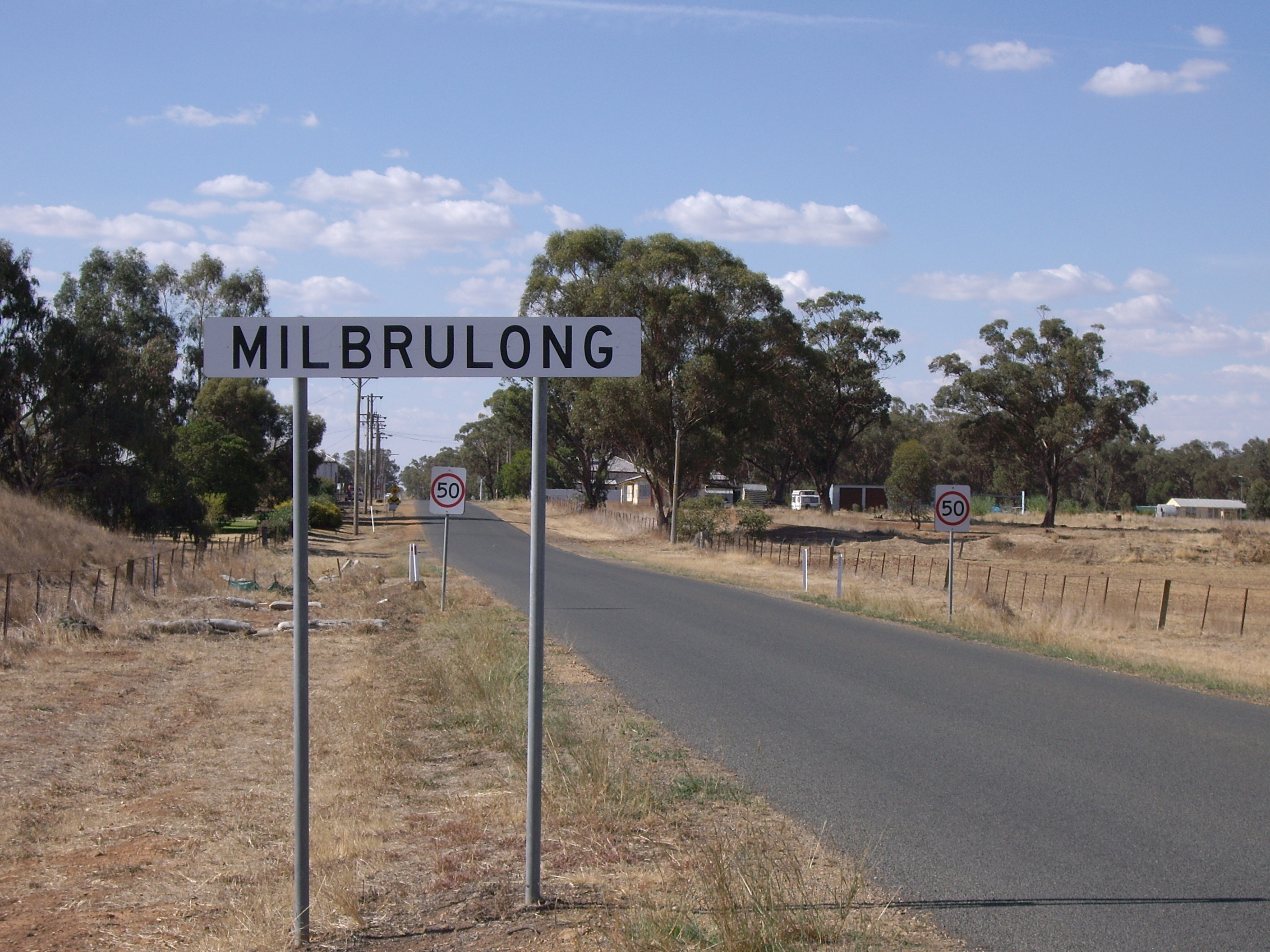
Entering Milbrulong
 Milbrulong
Population: 366 (2006 Census)[1] Postcode: 2656 Elevation: 123 m (404 ft) Location: LGA: Lockhart Shire County: Urana State District: Wagga Wagga Milbrulong is a village in the central east part of the Riverina. It is situated by road, about 14 kilometres east from Lockhart and 18 kilometres west from Tootool. At the 2006 census, Milbrulong had a population of 366 people.[1]
The place name Milbrulong is derived from the local Aboriginal word meaning "Rosella parrot".[2]
Milbrulong Post Office opened on 7 August 1899 and closed in 1976.[3]
-
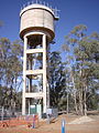
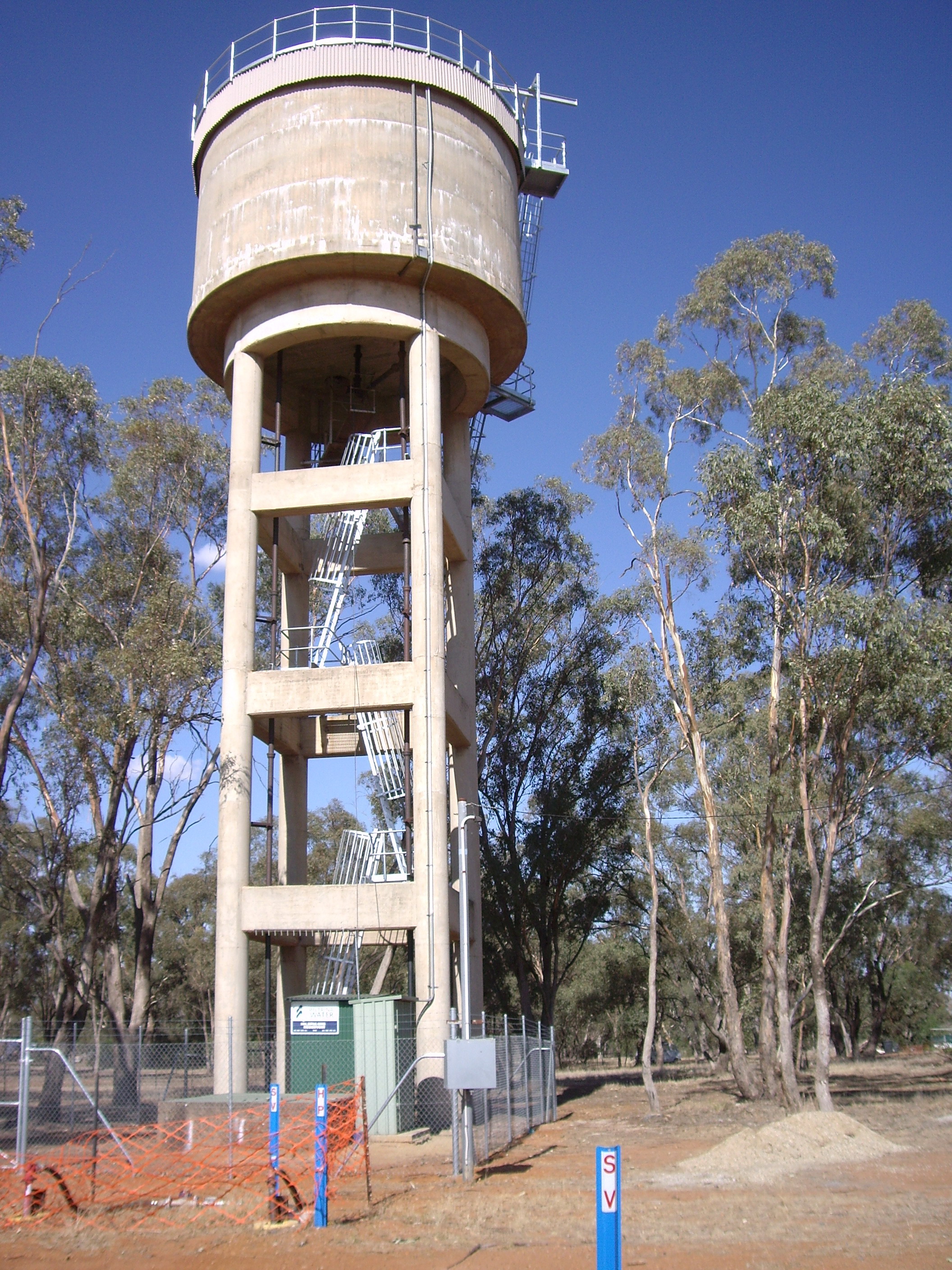
Milbrulong water tank
-
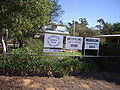
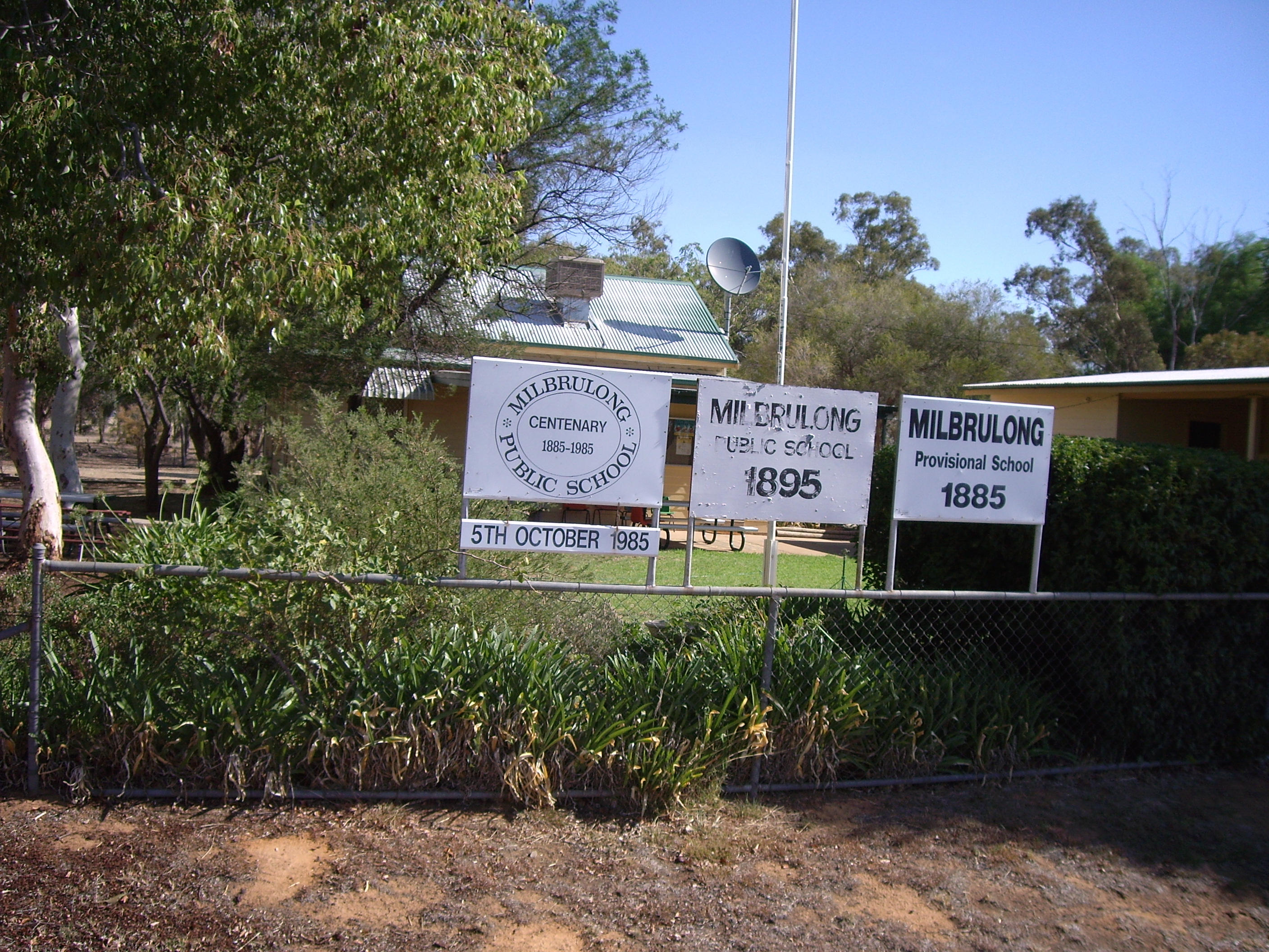
Milbrulong Public School
-
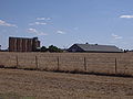
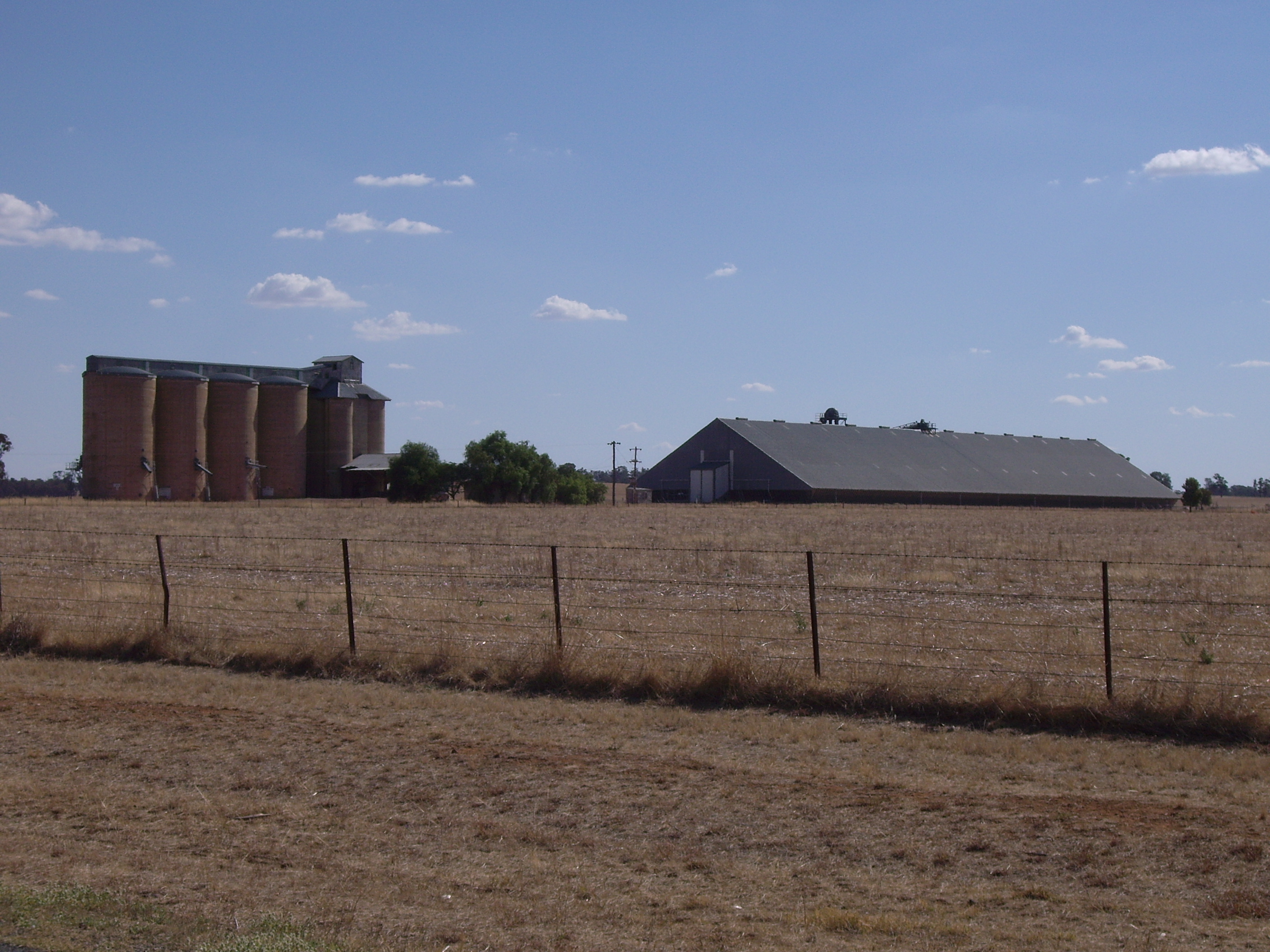
Silos at Milbrulong
Preceding station NSW Branch lines Following station Napiertowards OaklandsOaklands Line French Parktowards The RockNotes and references
- ^ a b Australian Bureau of Statistics (25 October 2007). "Milbrulong (State Suburb)". 2006 Census QuickStats. http://www.censusdata.abs.gov.au/ABSNavigation/prenav/LocationSearch?collection=Census&period=2006&areacode=SSC18057&producttype=QuickStats&breadcrumb=PL&action=401. Retrieved 30 October 2009.
- ^ NSW Geographical Names Board
- ^ Premier Postal History, Post Office List, https://www.premierpostal.com/cgi-bin/wsProd.sh/Viewpocdwrapper.p?SortBy=NSW&country=, retrieved 2009-06-11
Coordinates: 35°15′0″S 146°52′0″E / 35.25°S 146.866667°E
Towns in the Lockhart Shire Local Government Area Lockhart · Milbrulong · Pleasant Hills · The Rock · Yerong Creek
Categories:- Towns in New South Wales
- Riverina geography stubs
- Towns in the Riverina
- Australian Aboriginal placenames
-

Wikimedia Foundation. 2010.