- Kyeamba, New South Wales
Infobox Australian Place | type = town
name = Kyeamba
state = nsw
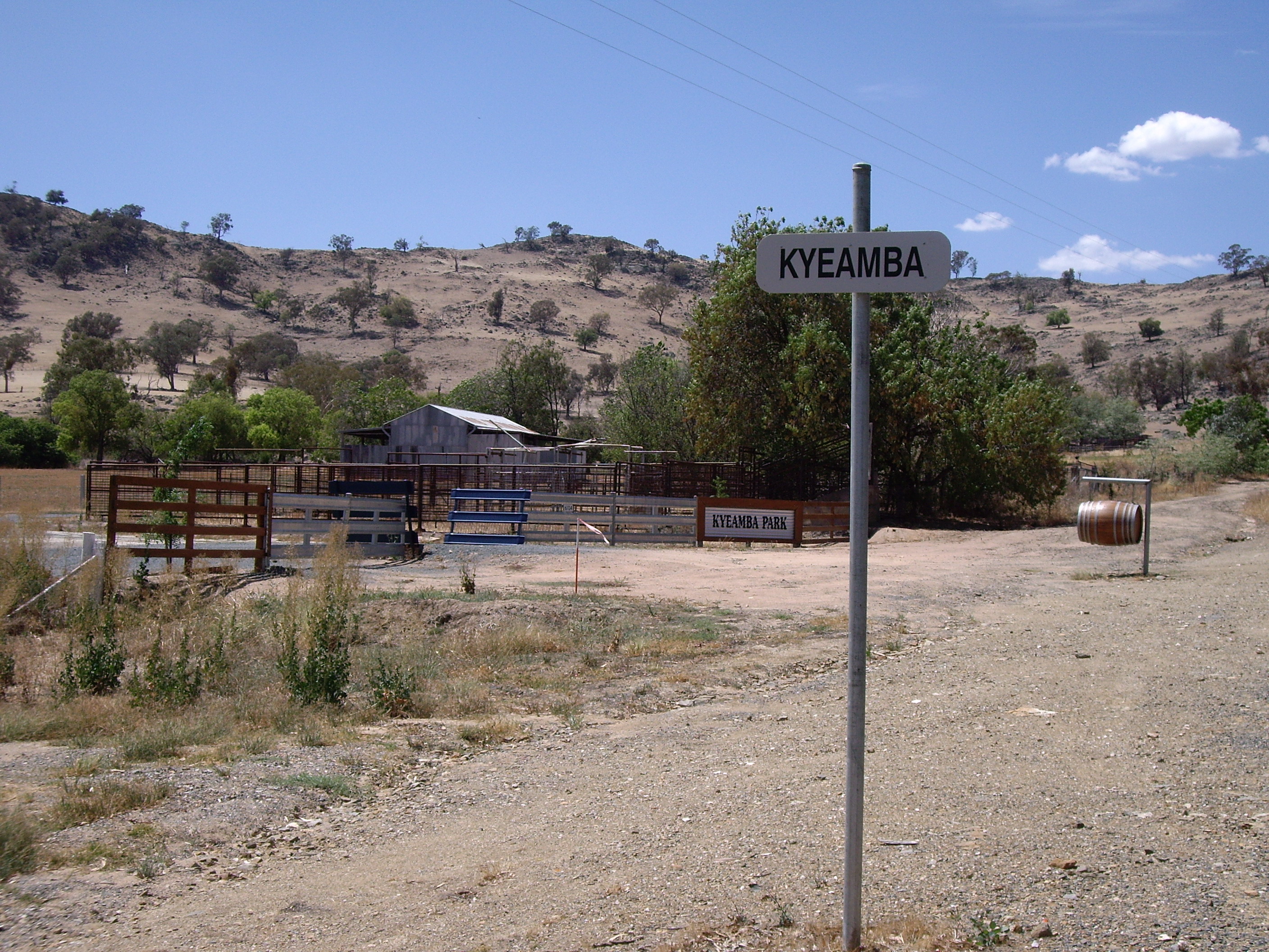
caption = Entering Kyeamba - the property Kyeamba Park is in the background
lga =
postcode = 2650
coordinates = coord|35|27|31|S|147|36|56|E |scale:100000_region:AU-NSW |display=title,inline
pop = 1427 (within 7 km radius)
est =
elevation= 309
maxtemp =
mintemp =
rainfall =
county = Wynyard
stategov = Wagga Wagga
fedgov =
dist1 = 23
location1= Tarcutta
dist2 = 16
location2= HumulaKyeamba is a farming community in the central east part of the
Riverina and situated about 16 kilometres north west from Humula and 23 kilometres north east from Tarcutta. It has a population within a 7 kilometre radius of approximately 1,427 people. [ [http://www.fallingrain.com/world/AS/2/Kyeamba.html www.fallingrain.com/world/AS/2/Kyeamba] ]Kyeamba is situated in the vicinity of the Alfred Town to Kyeamba Road where it meets the
Hume Highway . There are no stores or significant public buildings in the area.Notes and references
Wikimedia Foundation. 2010.