Alfred Town, New South Wales
- Alfred Town, New South Wales
Infobox Australian Place | type = town
name = Alfred Town
state = nsw

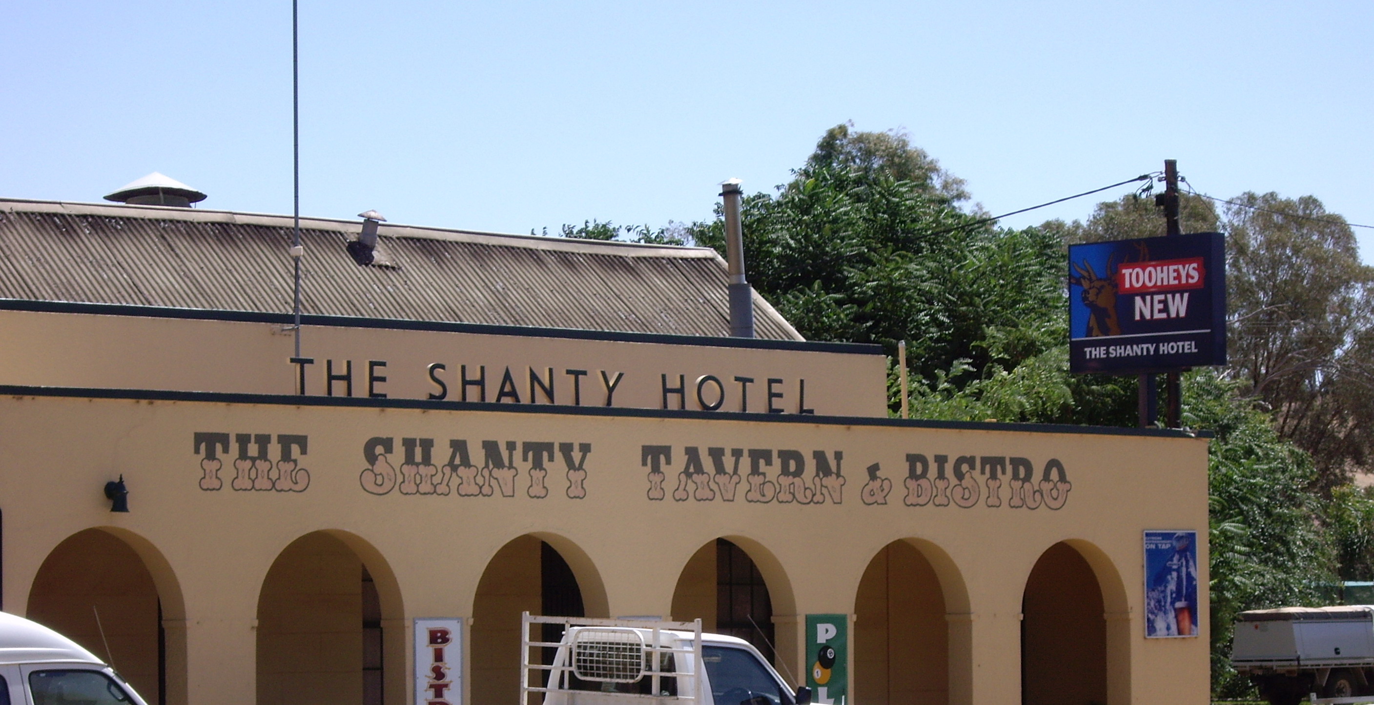
caption = The Shanty Hotel
lga = City of Wagga Wagga
postcode = 2650
pop = 1432 (within 7 km radius)
est =
elevation= 195
maxtemp =
mintemp =
rainfall =
parish = Cunningdroo
county = Wynyard
stategov = Wagga Wagga
fedgov = Riverina
dist1 = 442
location1= Sydney
dist2 = 145
location2= Albury
dist3 = 14
location3= Wagga Wagga
dist4 = 5
location4= Ladysmith [ [http://www.travelmate.com.au/MapMaker/MapMaker.asp Travelmate] ]
Alfred Town is a rural community in the central east part of the Riverina. It is situated about 5 kilometres north from Ladysmith and 14 kilometres east from Wagga Wagga. It has a population within a 7 kilometre radius of approximately 1432 people. [ [http://www.fallingrain.com/world/AS/2/Alfred_Town.html www.fallingrain.com Alfred Town] ]
Alfred Town is situated on the Sturt Highway and consists of "The Shanty Hotel" (otherwise known as The Shanty Tavern & Bistro) and a petrol station combined with small store.
Notes and References
Wikimedia Foundation.
2010.
Look at other dictionaries:
New Lambton, New South Wales — New Lambton Newcastle, New South Wales Population: 9236 (2006 census) Postcode: 2305 Area: 5.2 km² (2.0 … Wikipedia
Wagga Wagga, New South Wales — Infobox Australian Place type=city name=Wagga Wagga state=New South Wales caption=Looking down Baylis Street lga=City of Wagga Wagga county=Wynyard Clarendon stategov=Wagga Wagga fedgov=Riverina elevation=147 maxtemp = 22.0 mintemp = 9.0 rainfall … Wikipedia
Rose Hill, New South Wales — Founded on the 2 November, 1788, Rose Hill in New South Wales was the first colonial settlement, established by Governor Phillip. On the King s Birthday in 1791 it was renamed to the town of Parramatta, after the indigenous Aborigines of the… … Wikipedia
Forest Hill, New South Wales — Infobox Australian Place | type = suburb name = Forest Hill city = Wagga Wagga state = nsw caption = Shopping Centre at Forest Hill, NSW lga = City of Wagga Wagga postcode = 2651 est = pop = 1,939Census 2006 AUS id = SSC17211 name = Forest Hill… … Wikipedia
Gundagai, New South Wales — Infobox Australian Place | type = town name = Gundagai state = nsw caption = The town and the Murrumbidgee floodplain in July 2005. The Hume Highway can be seen in the middle distance. lga = Gundagai Shire Council postcode = 2722 pop =… … Wikipedia
History of Strathfield, New South Wales — The history of the Strathfield area, in New South Wales started with the Wangle Indigenous Australians but then involves the first disastrous white settlement at Liberty Plains. After this settlement failed the land became part of the Redmire… … Wikipedia
Cootamundra, New South Wales — Infobox Australian Place | type = town name = Cootamundra state = nsw caption = Cootamundra Post Office postcode = 2590 lga = Cootamundra Shire est = 1861 pop = 5,566 elevation= 318 maxtemp = 22.3 mintemp = 8.4 rainfall = 626.1 county = Harden… … Wikipedia
Ivanhoe, New South Wales — Infobox Australian Place | type = town name = Ivanhoe state = nsw caption = Location of Ivanhoe in New South Wales (red) lga = Central Darling Shire postcode = 2878 est = pop = 278 (2001 Census) elevation= 85.0 stategov = Murray Darling fedgov =… … Wikipedia
Ashfield, New South Wales — Infobox Australian Place | type = suburb name = Ashfield city = Sydney state = nsw caption = Liverpool Road, Ashfield lga = Municipality of Ashfield postcode = 2131 est = 1838 pop = 21,000 (2001) area = 3.5 propval =… … Wikipedia
Newport, New South Wales — Newport New South Wales Newport beach Population: 9,227 … Wikipedia

