Forest Hill, New South Wales
- Forest Hill, New South Wales
Infobox Australian Place | type = suburb
name = Forest Hill
city = Wagga Wagga
state = nsw
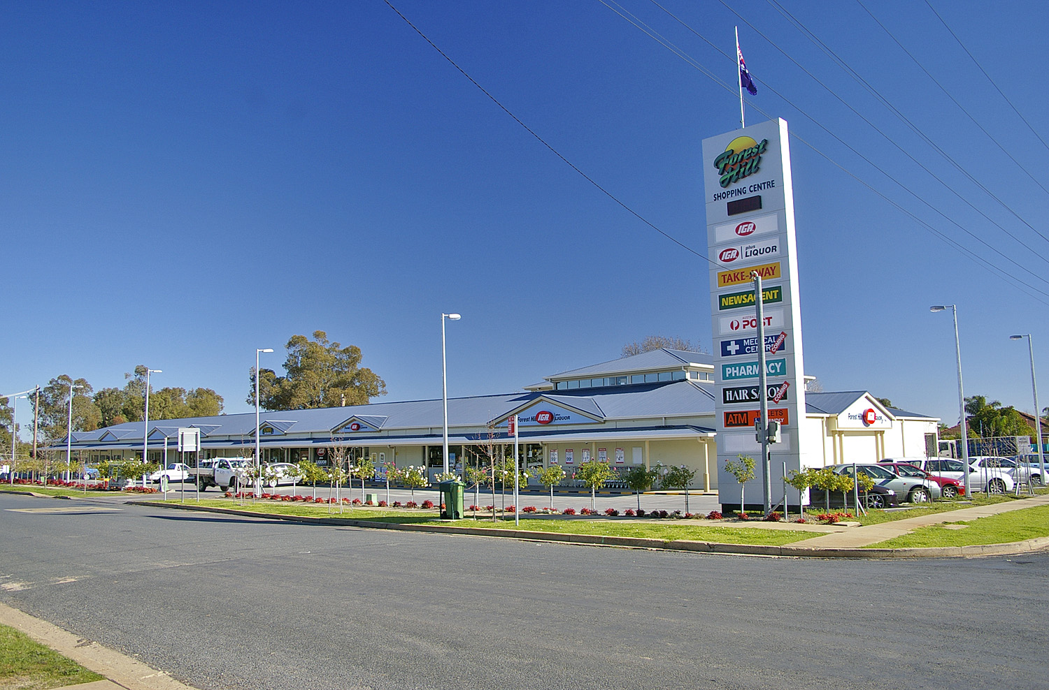
caption = Shopping Centre at Forest Hill, NSW
lga = City of Wagga Wagga
postcode = 2651
est =
pop = 1,939[Census 2006 AUS]
id = SSC17211
name = Forest Hill (State Suburb)
quick = on
accessdate = 2008-06-29]
area =
propval =
parish = Gumly Gumly
county = Wynyard
stategov = Wagga Wagga
fedgov = Riverina
near-nw = Gumly Gumly
near-n = Murrumbidgee River
near-ne = Oura
near-w = Lake Albert
near-e = Alfred Town
near-sw =
near-s = Gregadoo
near-se = Ladysmith
dist1 =
location1=
Forest Hill is a suburb of Wagga Wagga, New South Wales. Forest Hill is located approximately 10 km east of the central business district on the Sturt Highway. RAAF Base Wagga, Wagga Wagga Airport and the Bureau of Meteorology Regional Office is located at Forest Hill.
References
Wikimedia Foundation.
2010.
Look at other dictionaries:
Beacon Hill, New South Wales — Infobox Australian Place | type = suburb name = Beacon Hill city = Sydney state = nsw caption = Beacon Hill Summit from Beacon Hill Oval lga = Warringah Council postcode = 2100 est = pop = 5,994 [On the night of August 7, 2001. cite web |url=http … Wikipedia
Laurel Hill, New South Wales — Infobox Australian Place | type = town name = Laurel Hill state = nsw caption = Laurel Hill lga = Tumbarumba Shire Council postcode = 2649 coordinates = coord|35|36|1|S|148|5|35|E |scale:100000 region:AU NSW |display=title,inline pop = 165… … Wikipedia
New Berrima, New South Wales — New Berrima is a village in the Southern Highlands of New South Wales, Australia, in Wingecarribee Shire. At the 2006 census, New Berrima had a population of 592 people.[1] A cement factory was established in nearby Berrima in the late 1920s. New … Wikipedia
Forest High School (New South Wales) — Infobox School name = Forest High School motto = Spectemur Agendo ( let us be judged by our actions ) established = 1961 type = Public, secondary principal = Peter Gillam enrolment = 625 grades = 7–12 colours = Green, Red, Gold city = Frenchs… … Wikipedia
New Lambton Heights, New South Wales — New Lambton Heights Newcastle, New South Wales Population: 1794 (2006 census) Postcode: 2305 Area: 2.7 km² (1 … Wikipedia
Duffys Forest, New South Wales — Duffys Forest Sydney, New South Wales Population: 491 [1] Postcode: 2084 … Wikipedia
New South Wales — NSW redirects here. For the historical region of Canada, see New Britain (Canada). For other uses, see NSW (disambiguation). Coordinates: 32°0′S 147°0′E / 32°S 147°E … Wikipedia
New South Wales — a state in SE Australia. 5,126,217; 309,433 sq. mi. (801,430 sq. km). Cap.: Sydney. * * * State (pop., 2001: 6,609,304), southeastern Australia. Bounded by Queensland, the Pacific Ocean, Victoria, and South Australia, it has an area of 309,130 sq … Universalium
New South Wales Suburban Rugby Union — The New South Wales Suburban Rugby Union (NSWSRU) is affiliated to the New South Wales Rugby Union and runs the competition affectionately known as Subbies rugby. There are around 7500 players and 55 clubs competing across 6 divisions, making… … Wikipedia
New South Wales Premier's Literary Awards — The New South Wales Premier s Literary Awards were established in 1979 by the New South Wales Premier Neville Wran. Commenting on its purpose, Wran said: We want the arts to take, and be seen to take, their proper place in our social priorities.… … Wikipedia