Lacmalac, New South Wales
- Lacmalac, New South Wales
Infobox Australian Place | type = town
name = Lacmalac
state = nsw
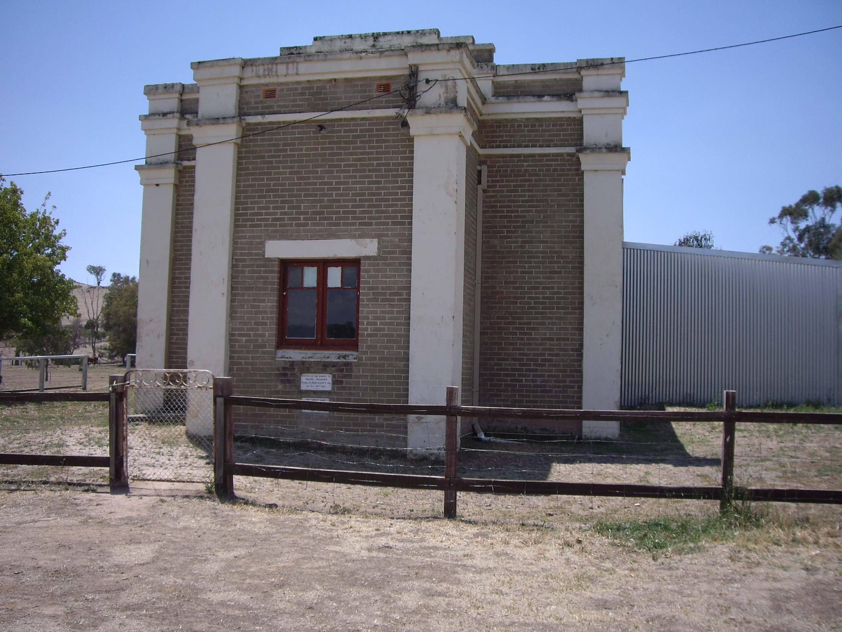
caption = Lacmalac Hall
lga =
postcode = 2720
pop = 364 (within 7 km radius)
est =
elevation= 374
maxtemp =
mintemp =
rainfall =
county = Buccleuch
stategov = Wagga Wagga
fedgov =
dist1 = 9
location1= Tumut
dist2 = 19
location2= GocupLacmalac is a rural community in the central east part of the Riverina. It is situated by road, about 9 kilometres east from Tumut and 19 kilometres south east from Gocup. It has a population within a 7 kilometre radius of approximately 364 people. [ [http://www.fallingrain.com/world/AS/2/Lacmalac.html www.fallingrain.com Lacmalac] ]
Notes and References
Wikimedia Foundation.
2010.
Look at other dictionaries:
Maude, New South Wales — Maude New South Wales Post office and general store … Wikipedia
Coolamon, New South Wales — Coolamon New South Wales Coolamon seen as entering from the Wagga Wagga road … Wikipedia
Mulwala, New South Wales — Mulwala New South Wales New residential development on the shore of Lake Mulwala … Wikipedia
Oaklands, New South Wales — Oaklands New South Wales Milthorpe Street, the main street of Oaklands … Wikipedia
Morven, New South Wales — Morven New South Wales Entering Village of Morven … Wikipedia
Oxley, New South Wales — Oxley New South Wales Entry sign … Wikipedia
Coreen, New South Wales — Coreen New South Wales The now disused Coreen Hotel … Wikipedia
Dirnaseer, New South Wales — Dirnaseer New South Wales … Wikipedia
Methul, New South Wales — Methul New South Wales Methul is red soil wheat country in the Riverina … Wikipedia
Conargo, New South Wales — Conargo New South Wales The famed Conargo Pub praised by the Ute Muster sub culture … Wikipedia