- Euberta, New South Wales
Infobox Australian Place | type = town
name = Euberta
state = nsw
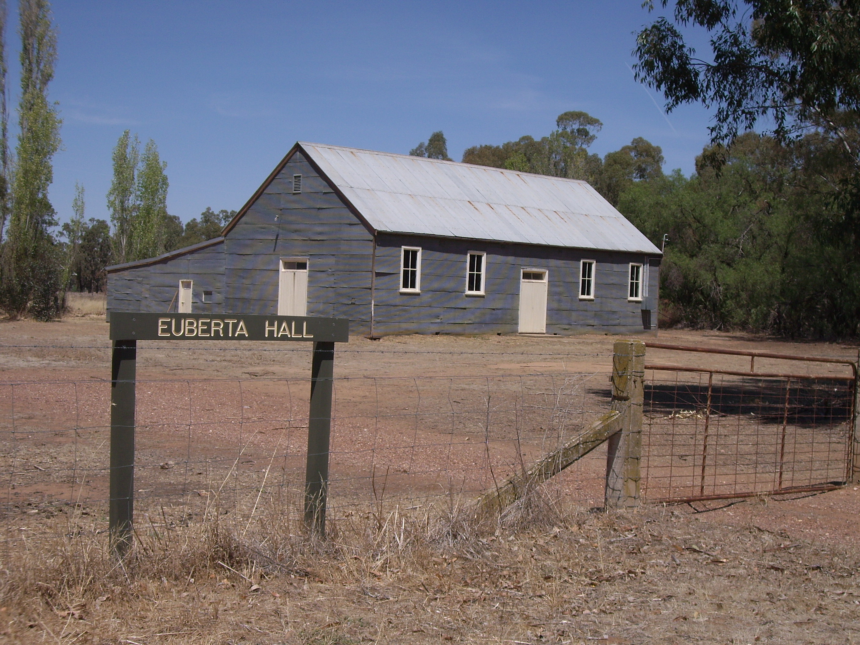
caption = Euberta Hall
lga =City of Wagga Wagga
postcode = 2659
est =
pop = 1433 (within 7km radius)
elevation= 160
maxtemp =
mintemp =
rainfall =
county = Bourke
stategov = Wagga Wagga
fedgov =
dist1 = 478
location1= Sydney
dist2 = 20
location2= Wagga Wagga
dist3 = 9
location3= Malebo
dist4 = 6
location4= Millwood [ [http://www.travelmate.com.au/MapMaker/MapMaker.asp Travelmate] ]Euberta is a farming community in the central
Riverina area ofNew South Wales . It is situated on the old Narrandera road with Millwood 6 kilometres to it west and Malebo 9 kilometres to its east. It has an approximate population of 1433 persons residing within a 7 kilometre radius. [ [http://www.fallingrain.com/world/AS/2/Euberta.html www.fallingrain.com Euberta] ]The area is made up of rich pastoral close to the
Murrumbidgee River giving graziers the ability to use central pivot and other irrigation systems to grow crops such asLucerne .Gallery
Notes and References
Wikimedia Foundation. 2010.