- Ournie, New South Wales
-
Ournie
New South Wales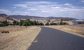
Ournie
 Ournie
Postcode: 2640 Coordinates: 35°56′41″S 147°50′58″E / 35.94472°S 147.84944°ECoordinates: 35°56′41″S 147°50′58″E / 35.94472°S 147.84944°E Elevation: 516 m (1,693 ft) Location: - 15 km (9 mi) from Welaregang
- 20 km (12 mi) from Munderoo
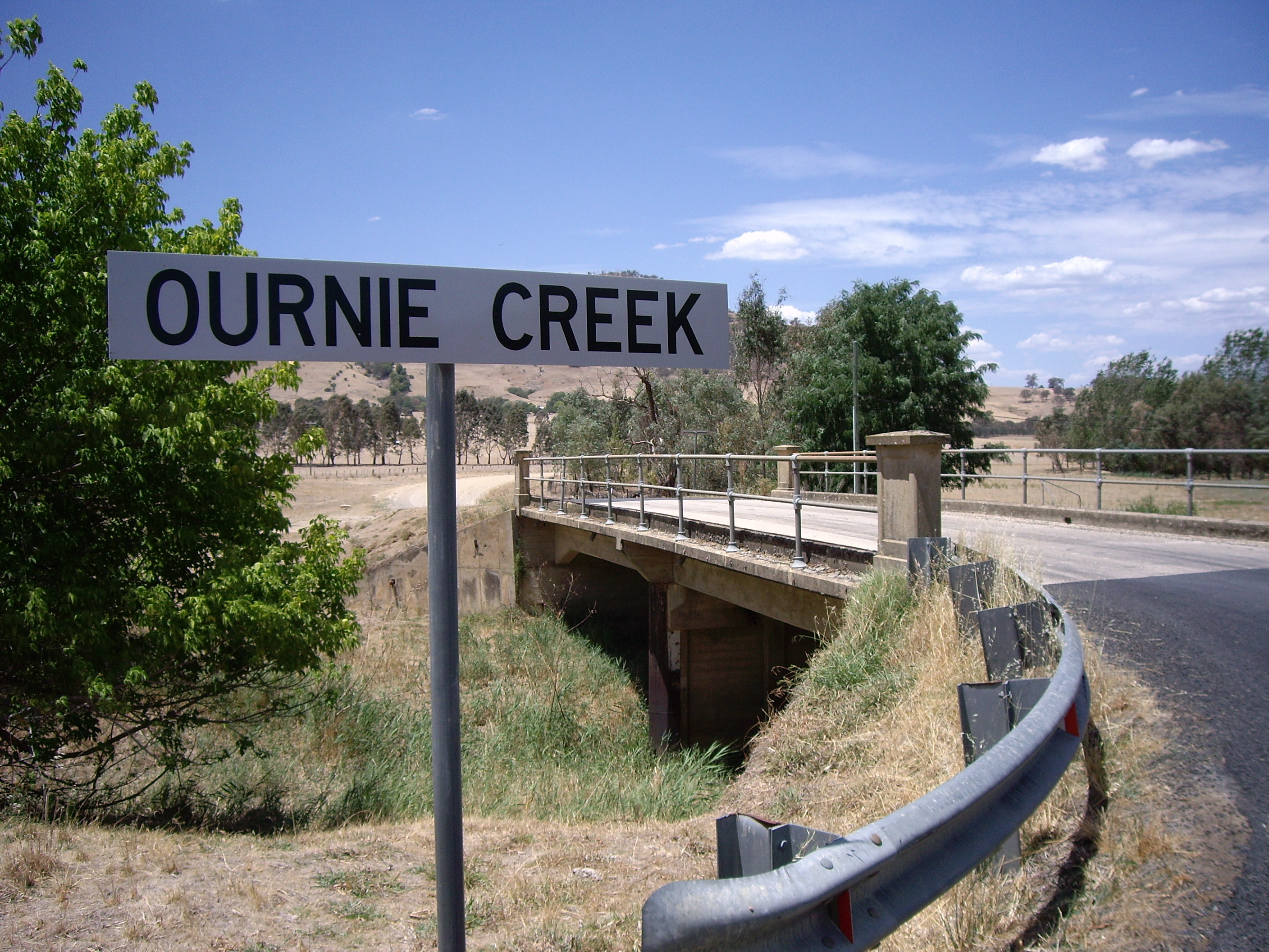
County: Selwyn State District: Albury Ournie is a rural community in the far south east part of the Riverina and situated about 15 kilometres north west from Welaregang and 20 kilometres south from Munderoo. Ournie is situated on the banks of the Ournie Creek which flows into the Murray River and the area is only about 4 kilometres from the border of Victoria.
Ournie Post Office opened on 1 July 1872, closed in 1875, reopened in 1904 and closed again in 1968.[1]
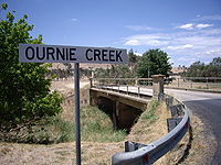 Ournie Creek
Notes and references
- ^ Premier Postal History, Post Office List, https://www.premierpostal.com/cgi-bin/wsProd.sh/Viewpocdwrapper.p?SortBy=NSW&country=, retrieved 2009-06-11
Categories:- Towns in New South Wales
- Towns in the Riverina


Wikimedia Foundation. 2010.