- Mairjimmy, New South Wales
-
Mairjimmy
New South Wales
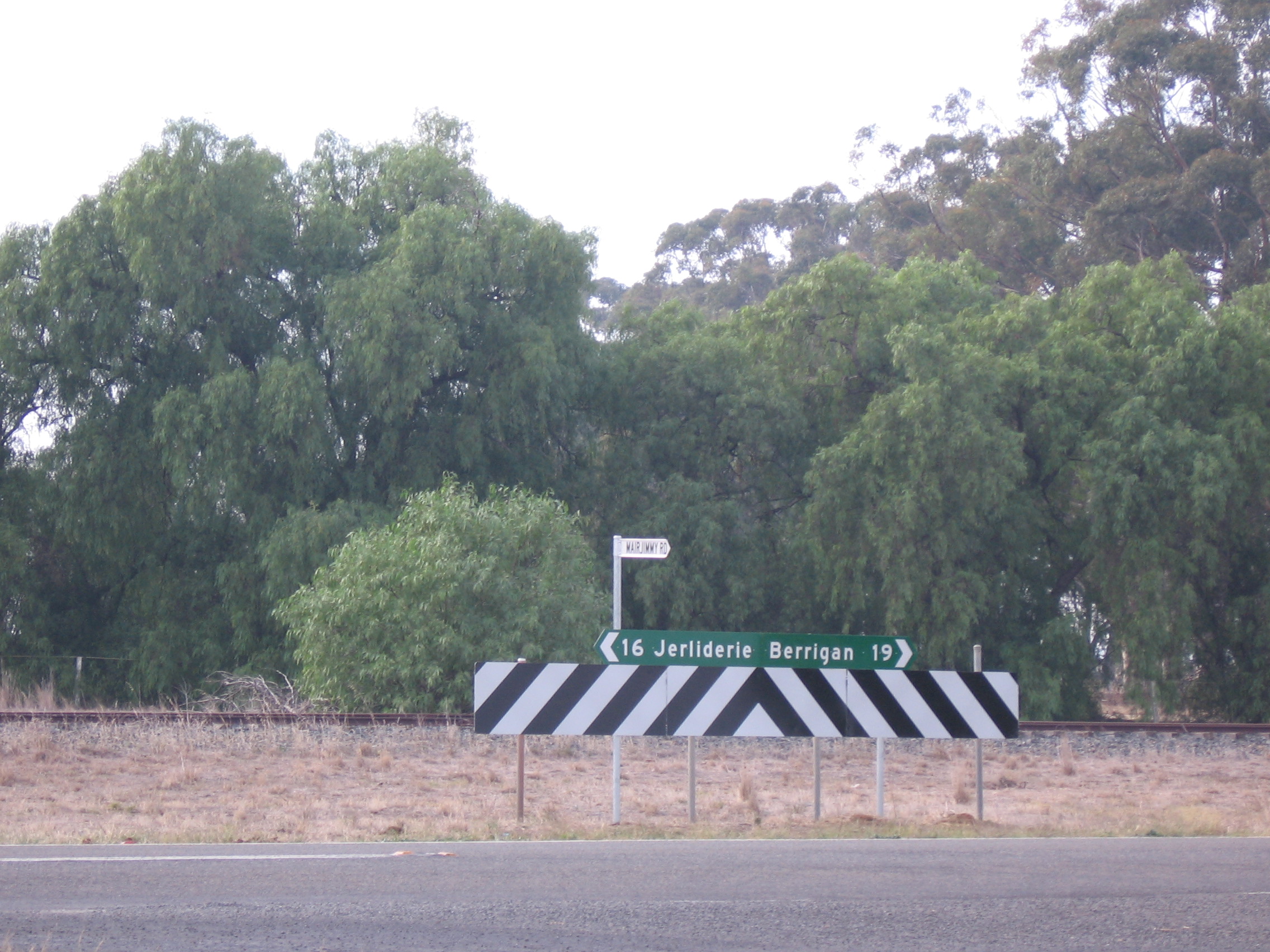
Intersection near former rail siding
 Mairjimmy
Postcode: 2712 Coordinates: 35°29′36″S 145°44′36″E / 35.49333°S 145.74333°ECoordinates: 35°29′36″S 145°44′36″E / 35.49333°S 145.74333°E Elevation: 114 m (374 ft) Location: - 17 km (11 mi) from Jeriliderie
- 20 km (12 mi) from Berrigan
LGA: Jerilderie Shire County: Urana State District: Murray-Darling Mairjimmy is a rural community in the central south part of the Riverina. It is situated by road, about 17 kilometres south east of Jerilderie and 20 kilometres north west of Berrigan.
Notes and references
Categories:- Towns in New South Wales
- Towns in the Riverina
- Riverina geography stubs

Wikimedia Foundation. 2010.