- Matong
-
Matong
New South Wales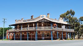
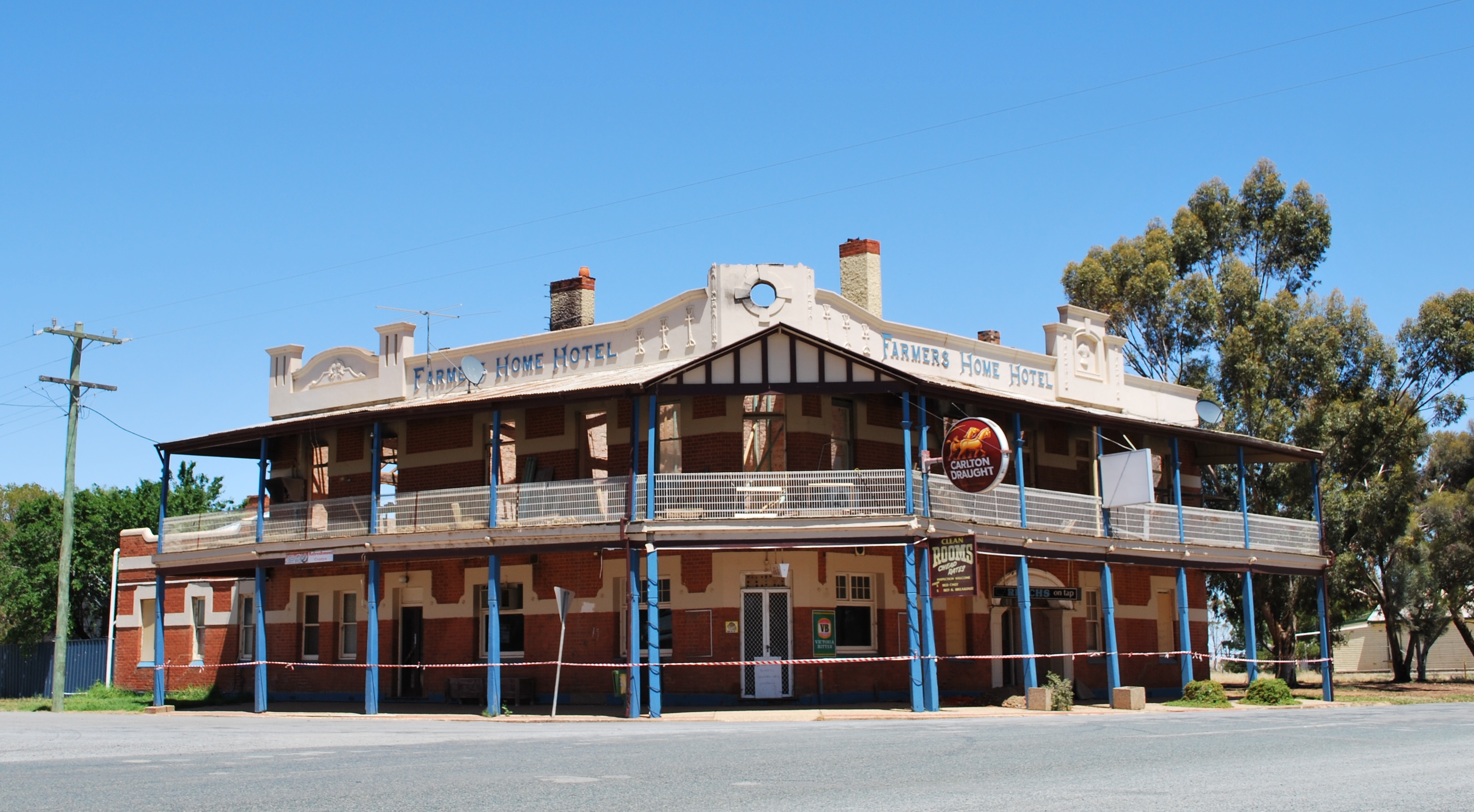
The Farmers Home Hotel being rebuilt after a fire
 Matong
Population: 194(2006 Census)[1] Postcode: 2652 Coordinates: 34°46′0″S 146°55′0″E / 34.766667°S 146.916667°ECoordinates: 34°46′0″S 146°55′0″E / 34.766667°S 146.916667°E Elevation: 192 m (630 ft) Location: LGA: Coolamon Shire County: Bourke State District: Murrumbidgee Federal Division: Riverina Matong (
 /məˈtɒŋ/) is a town in the central east part of the Riverina region of New South Wales, Australia. The town is 37 kilometres (23 mi) east from Narrandera and 26 kilometres (16 mi) west from Coolamon. At the 2006 census, Matong had a population of 194 people.[1]
Notes and references
- ^ a b Australian Bureau of Statistics (25 October 2007). "Matong (State Suburb)". 2006 Census QuickStats. http://www.censusdata.abs.gov.au/ABSNavigation/prenav/LocationSearch?collection=Census&period=2006&areacode=SSC18003&producttype=QuickStats&breadcrumb=PL&action=401. Retrieved 27 October 2009.
Preceding station NSW Branch lines Following station towards HayHay Line towards JuneeMain Article: Local Government Areas of New South WalesCategories:- Towns in New South Wales
- Towns in the Riverina

Wikimedia Foundation. 2010.