- Cowabbie, New South Wales
Infobox Australian Place | type = town
name = Cowabbie
state = nsw
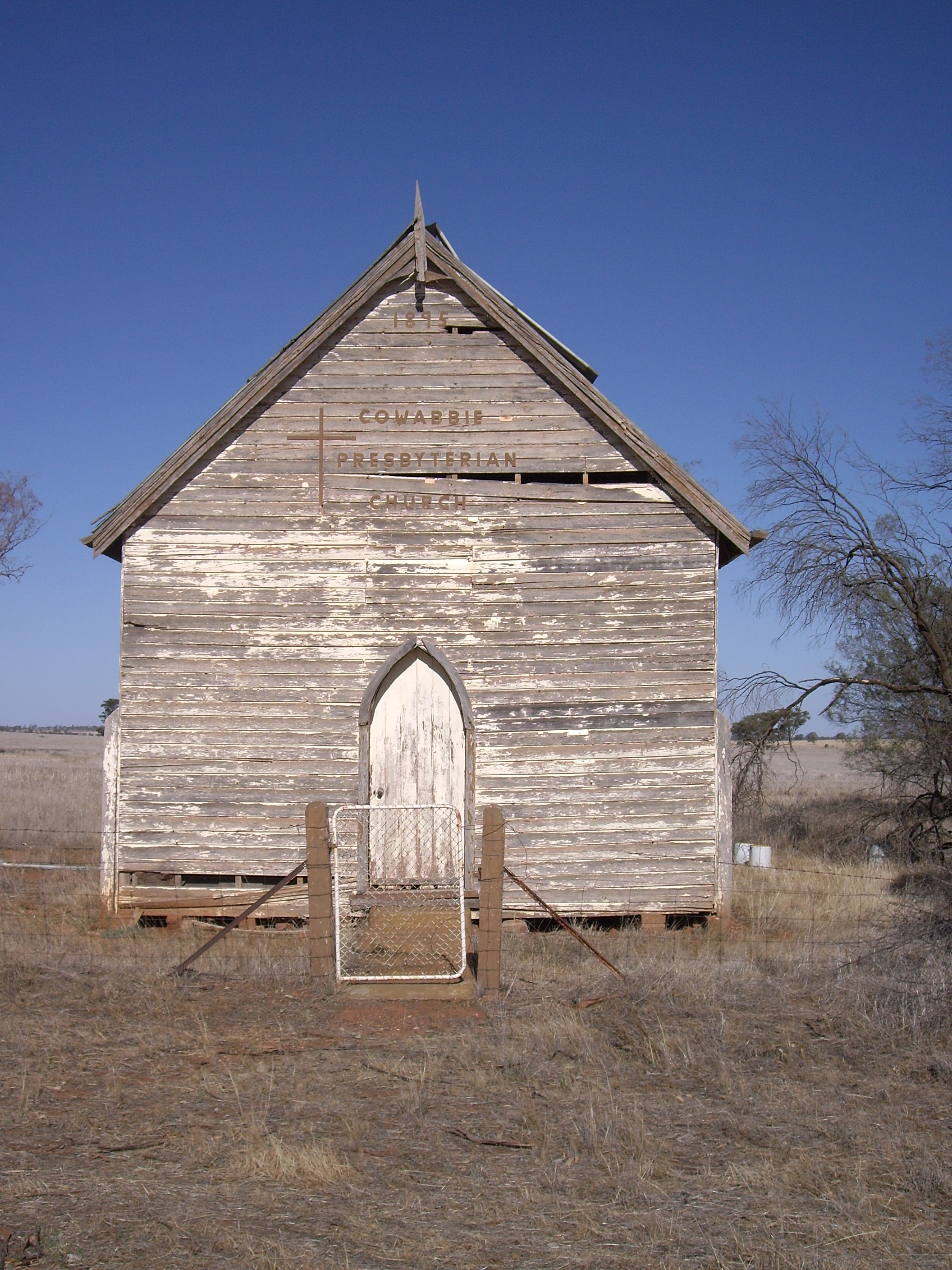
caption = Cowabbie Presbyterian Church
lga =Coolamon Shire Council
postcode = 2663
pop =
est =
elevation=
maxtemp =
mintemp =
rainfall =
county = Bourke
stategov = Murrumbidgee
fedgov =
dist1 = 29
location1= Ardlethan
dist2 = 32
location2= MatongCowabbie is a rural community in the central part of the
Riverina . It is situated by road, about 29 kilometres south from Ardlethan and 32 kilometres north from Matong along the Wagga Wagga road.The place name "Cowabbie" is derived from expression used by the local Aboriginals for cows when they were first seen in the area by these early inhabitants, [ [http://www.gnb.nsw.gov.au/name_search/extract?id=JPckFxKmGH NSW Geographical Names Board] ] and Cowabbie Station is one of the functioning properties in the area.
Cowabbie has a rich
Presbyterian history. The original church - dilapidated but proudly memorialised by the small community surrounding it, was first built by the local Hannah family in 1865 and then transported to its current location by bullock-team in 1926.Notes and References
Wikimedia Foundation. 2010.