- Muttama, New South Wales
-
Muttama
New South Wales
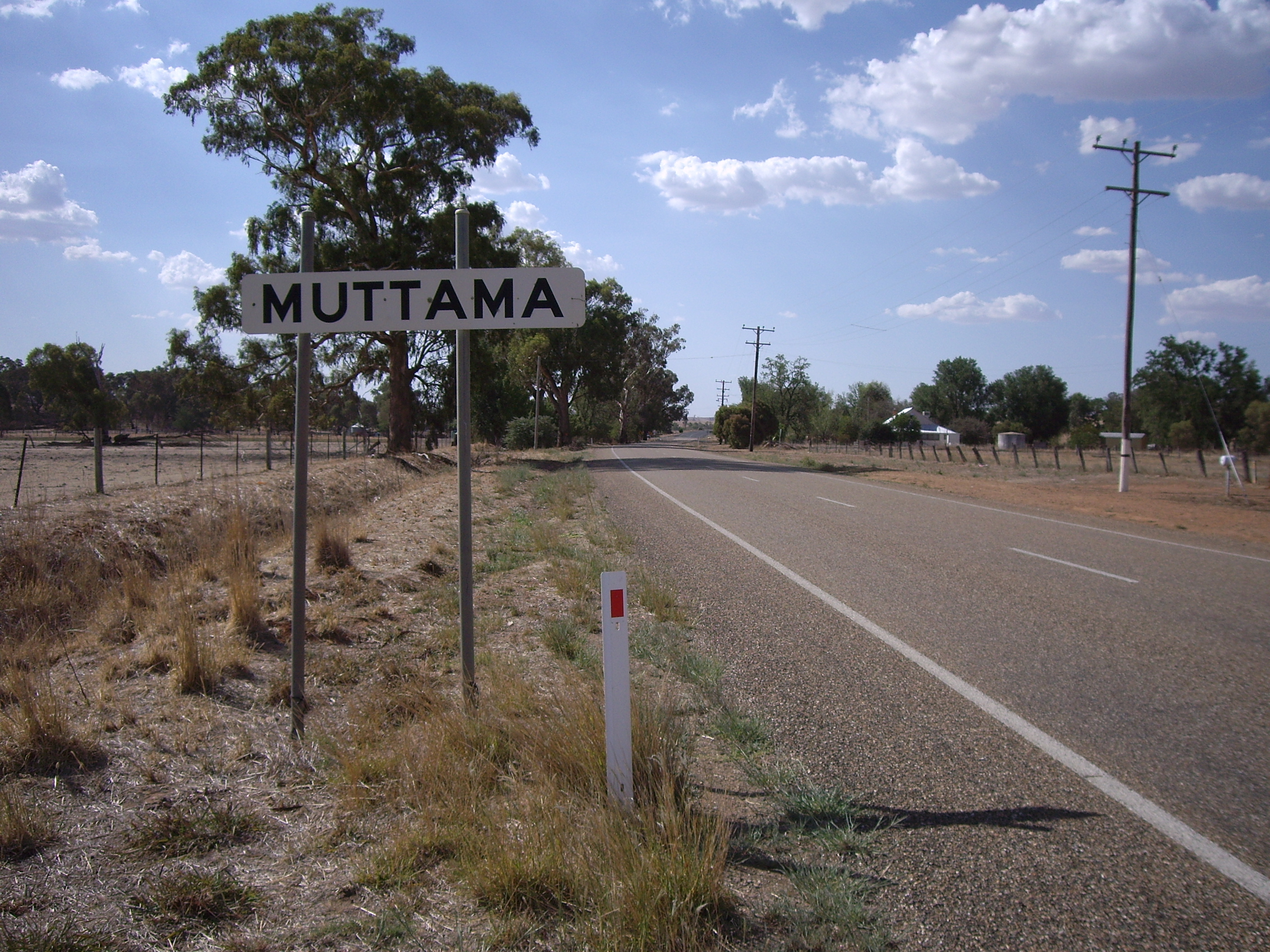
Entering Muttama
 Muttama
Postcode: 2722 Coordinates: 34°48′10″S 148°7′1″E / 34.80278°S 148.11694°ECoordinates: 34°48′10″S 148°7′1″E / 34.80278°S 148.11694°E Elevation: 357 m (1,171 ft) Location: - 24 km (15 mi) from Cootamundra
- 17 km (11 mi) from Coolac
LGA: Gundagai Shire Council County: Harden State District: Burrinjuck Federal Division: Hume Muttama is a rural community in the central east part of the Riverina. It is situated by road, about 24 kilometres south from Cootamundra and 17 kilometres north from Coolac.
The name Muttama is derived from the local Aboriginal word meaning "like it" or "take it".[1]
Muttama Reef Post Office opened on 1 February 1876, was renamed Muttama in 1889, and closed on 12 October 1979.[2]
-

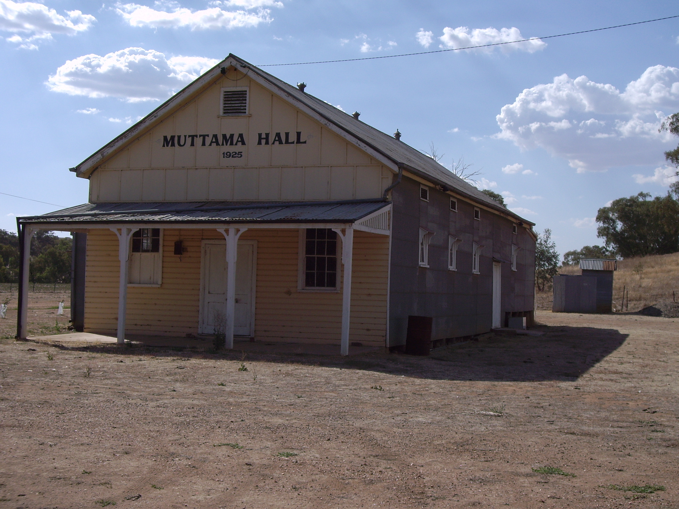
Muttama Hall
-
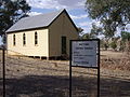
Muttama Uniting Church
References
- ^ NSW Geographical Names Board
- ^ Premier Postal History, Post Office List, https://www.premierpostal.com/cgi-bin/wsProd.sh/Viewpocdwrapper.p?SortBy=NSW&country=, retrieved 21 February 2011
External links
Categories:- Towns in New South Wales
- Towns in the Riverina
- Australian Aboriginal placenames


Wikimedia Foundation. 2010.