- Borambola, New South Wales
Infobox Australian Place | type = town
name = Borambola
state = nsw
caption = Borambola
lga =
postcode = 2650
pop = 1432 (within 7 km radius)
est =
elevation= 292
maxtemp =
mintemp =
rainfall =
county = Wynyard
stategov = Wagga Wagga
fedgov =
dist1 = 418
location1= Sydney
dist2 = 31
location2= Wagga Wagga
dist3 = 15
location3= Alfred Town
dist4 = 14
location4= Tarcutta [ [http://www.travelmate.com.au/MapMaker/MapMaker.asp Travelmate] ]Borambola is a rural community in the central east part of the
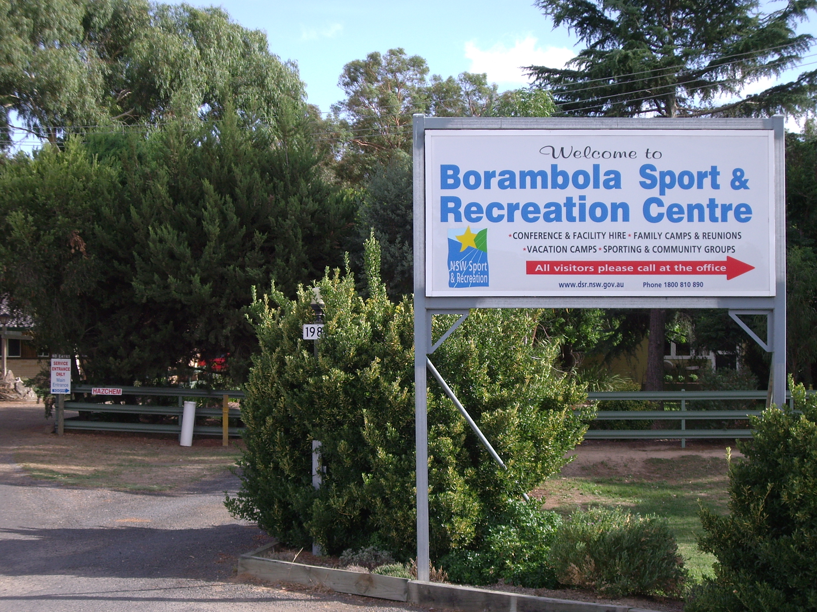
Riverina . It is situated on theSturt Highway about 16 kilometres east from Alfred Town and 30 kilometres east from Wagga Wagga. It has a population within a 7 kilometre radius of approximately 1432 people. [ [http://www.fallingrain.com/world/AS/2/Borambola.html www.fallingrain.com Borambola] ]The Borambola area is home to the Borambola Sport and Recreation Centre that caters for conference and facility hire, as well as family, vacation, school camps and reunion camps. [ [http://www.dsr.nsw.gov.au/borambola/ Borambola Sport and Recreation Centre web page] ]
Notes and References
Wikimedia Foundation. 2010.