- Kywong, New South Wales
Infobox Australian Place | type = town
name = Kywong
state = nsw
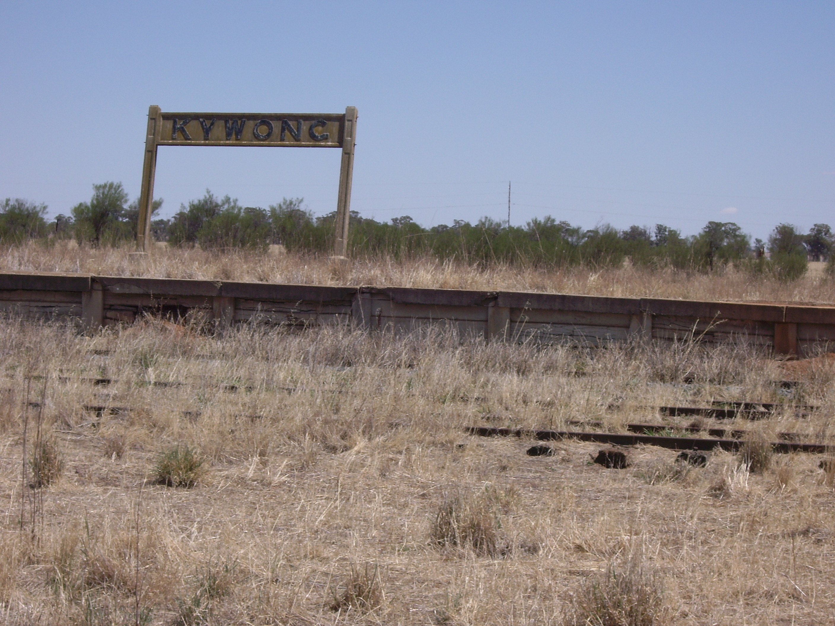
caption = Kywong Railway Siding - closed 1975
lga =Narrandera Shire Council
postcode = 2700
est =
pop =
elevation=
maxtemp =
mintemp =
rainfall =
county = Mitchell
stategov = Murrumbidgee
fedgov = Riverina
dist1 = 520
location1=Sydney
dist2 = 424
location2=Melbourne
dist3 = 64
location3= Wagga Wagga
dist4 = 36
location4= NarranderaKywong is a rural locality in the
Riverina region ofNew South Wales ,Australia . The locality is situated on theSturt Highway , 520 kilometres south west of the state capital,Sydney and 64 kilometres west of Wagga Wagga.Kywong was the terminus of a branch line of the Main Southern railway line, opened in 1929 and closed in 1975. [cite web
publisher = www.nswrail.net
title=Kywong Branch
url = http://www.nswrail.net/lines/show.php?name=NSW:kywong
accessdate = 2007-02-02 ] Shortly after, the Government Grain Elevators, later known as the Australian Wheat Board (AWB), constructed silos at Kywong for the storage of grain prior to rail transport to markets. The Kywong Public School opened in 1940 and closed in 1985. In 2001, the owners of the Kywong silos,GrainCorp announced their closure. [cite web
last = Tompson
first = Clem
url = http://home.primus.com.au/clemtomo/kywong.htm
title = Kywong
accessdate = 2007-02-02]References
Wikimedia Foundation. 2010.