Brushwood, New South Wales
- Brushwood, New South Wales
Infobox Australian Place | type = town
name = Brushwood
state = nsw
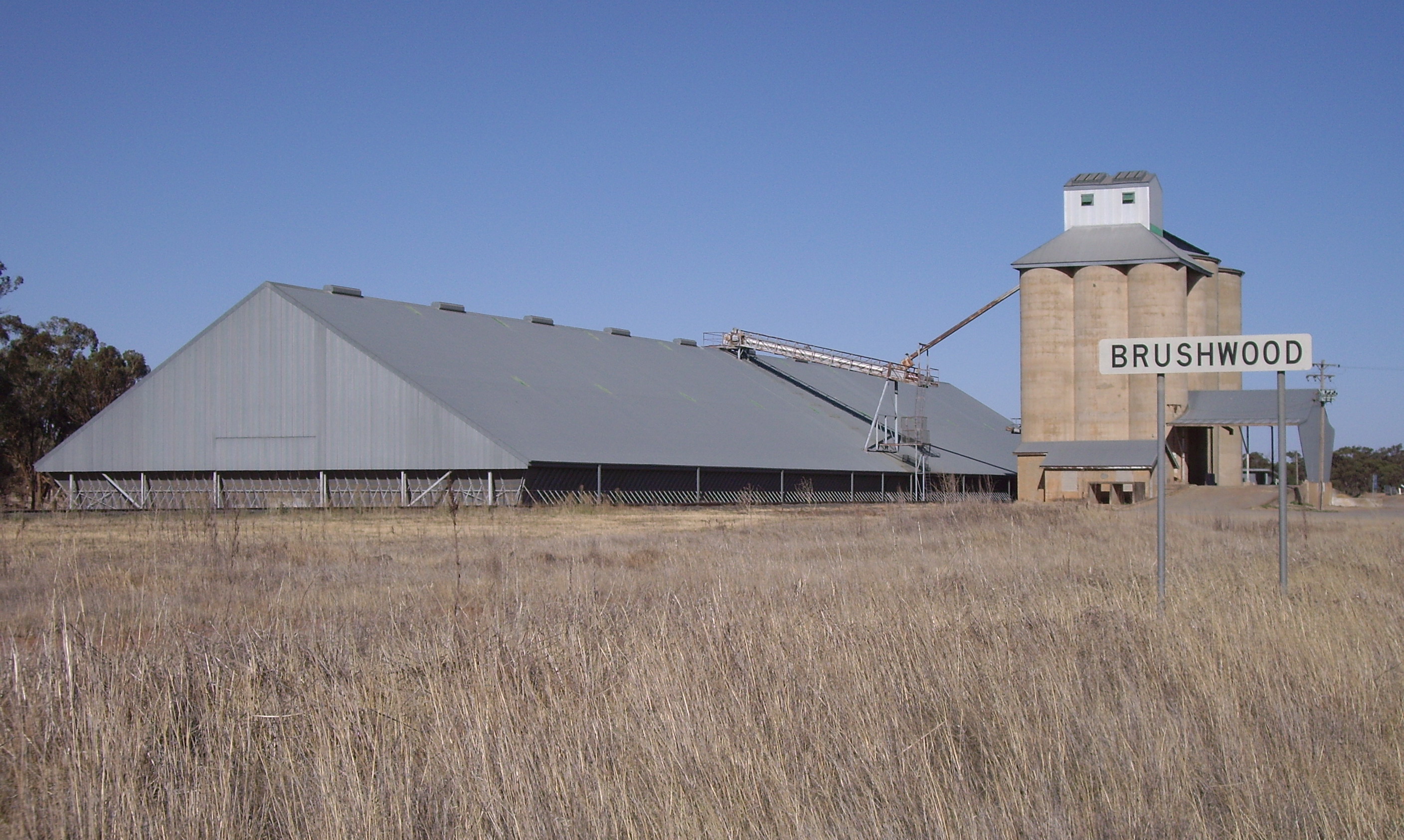
caption = Silos at Brushwood
lga = Coolamon Shire Council
postcode =
pop =
est =
elevation=
maxtemp =
mintemp =
rainfall =
county = Bourke
stategov = Murrumbidgee
fedgov =
dist1 = 474
location1= Sydney
dist2 = 52
location2= Wagga Wagga
dist3 = 8
location3= Coolamon
dist4 = 6
location4= Ganmain [ [http://www.travelmate.com.au/MapMaker/MapMaker.asp Travelmate] ]
Brushwood is a rural community in the central east part of the Riverina [ [http://www.gnb.nsw.gov.au/name_search/extract?id=ItQljzxO Geographical Names Board of NSW Brushwood] ] . It is situated by road, about 6 kilometres east from Ganmain and 8 kilometres west from Coolamon.
Brushwood lies within the wheat farming belt of the Coolamon Shire Council and is the home of a small railway station (for the uploading of wheat and other grains) and a series of large 30 metre silos.
Notes and References
Wikimedia Foundation.
2010.
Look at other dictionaries:
Coolamon, New South Wales — Coolamon New South Wales Coolamon seen as entering from the Wagga Wagga road … Wikipedia
Marrar, New South Wales — Marrar New South Wales Royal Hotel at Marrar … Wikipedia
Methul, New South Wales — Methul New South Wales Methul is red soil wheat country in the Riverina … Wikipedia
Maude, New South Wales — Maude New South Wales Post office and general store … Wikipedia
Mulwala, New South Wales — Mulwala New South Wales New residential development on the shore of Lake Mulwala … Wikipedia
Oaklands, New South Wales — Oaklands New South Wales Milthorpe Street, the main street of Oaklands … Wikipedia
Oxley, New South Wales — Oxley New South Wales Entry sign … Wikipedia
Coreen, New South Wales — Coreen New South Wales The now disused Coreen Hotel … Wikipedia
Conargo, New South Wales — Conargo New South Wales The famed Conargo Pub praised by the Ute Muster sub culture … Wikipedia
Coolac, New South Wales — Coolac New South Wales Coolac Hotel … Wikipedia