- Stockinbingal, New South Wales
Infobox Australian Place | type = town
name = Stockinbingal
state = nsw
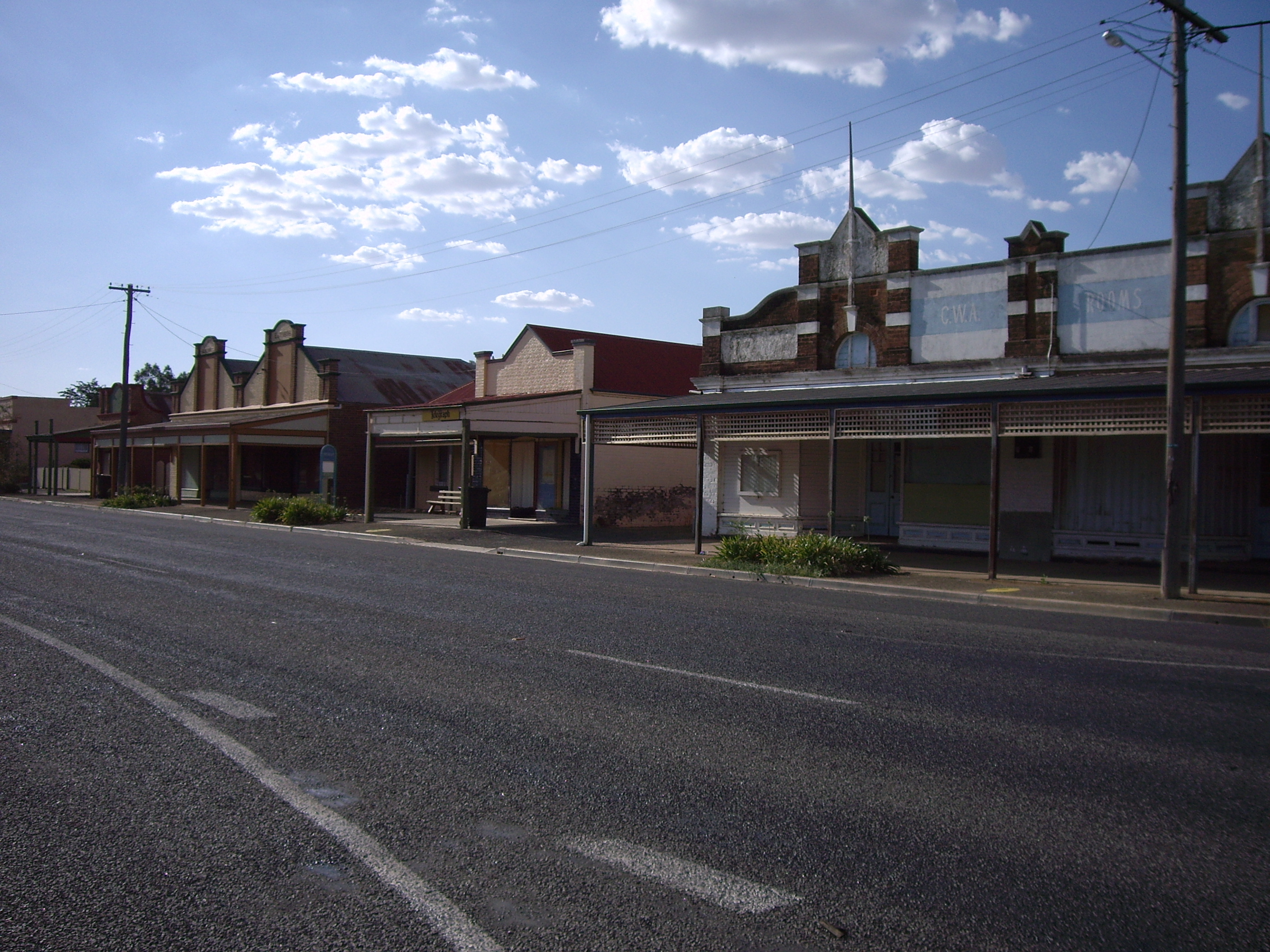
caption = Main Street of Stockinbingal
lga =Cootamundra Shire Council
postcode = 2725
est =
pop = 242
elevation= 303
maxtemp =
mintemp =
rainfall =
county = Bland
stategov = Burrinjuck
fedgov = Riverina
dist1 = 22
location1= Cootamundra
dist2 = 23
location2= SpringdaleStockinbingal is a village in Cootamundra Shire in the South West Slopes region of
New South Wales ,Australia . It is also a part of theRiverina . It had a population of 242 in 2001, including 3 indigenous people (1.2%) and 23 foreign born people (9.5%). It is on theBurley Griffin Way .It is the location of a railway junction connecting the Cootamundra to Lake Cargelligo railway line (completed to Stockinbingal in 1893) to Parkes, which provides an alternative route from
Sydney to Parkes to the route over the Blue Mountains, avoiding that route's steep grades and is now as a result the major route for freight between Sydney and Perth. The route from Cootamundra to Stockinbingal and Parkes is also part of a rail bypass ofSydney for traffic betweenMelbourne andBrisbane via Dubbo, Werris Creek and Maitland.References
Wikimedia Foundation. 2010.