- National Register of Historic Places listings in Anne Arundel County, Maryland
-
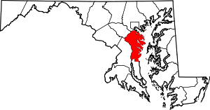 Location of Anne Arundel County in Maryland
This is a list of the National Register of Historic Places listings in Anne Arundel County, Maryland.
This is intended to be a complete list of the properties and districts on the National Register of Historic Places in Anne Arundel County, Maryland, United States. Latitude and longitude coordinates are provided for many National Register properties and districts; these locations may be seen together in a Google map.[1]
There are 101 properties and districts listed on the National Register in the county, including 12 National Historic Landmarks.
Contents: Counties in Maryland Allegany - Anne Arundel - Baltimore (city) - Baltimore County - Calvert - Caroline - Carroll - Cecil - Charles - Dorchester - Frederick - Garrett - Harford - Howard - Kent - Montgomery - Prince George's - Queen Anne's - Somerset - St. Mary's - Talbot - Washington - Wicomico - Worcester -
- This National Park Service list is complete through NPS recent listings posted November 10, 2011.[2]
Current listings
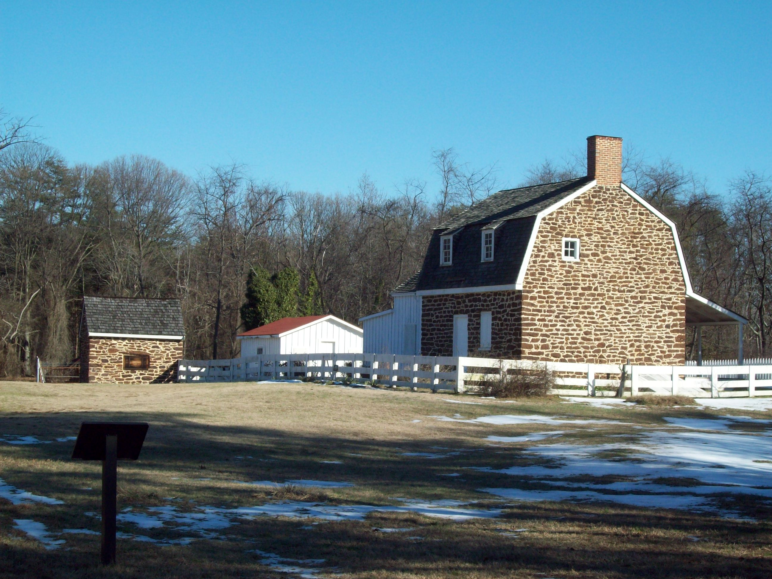
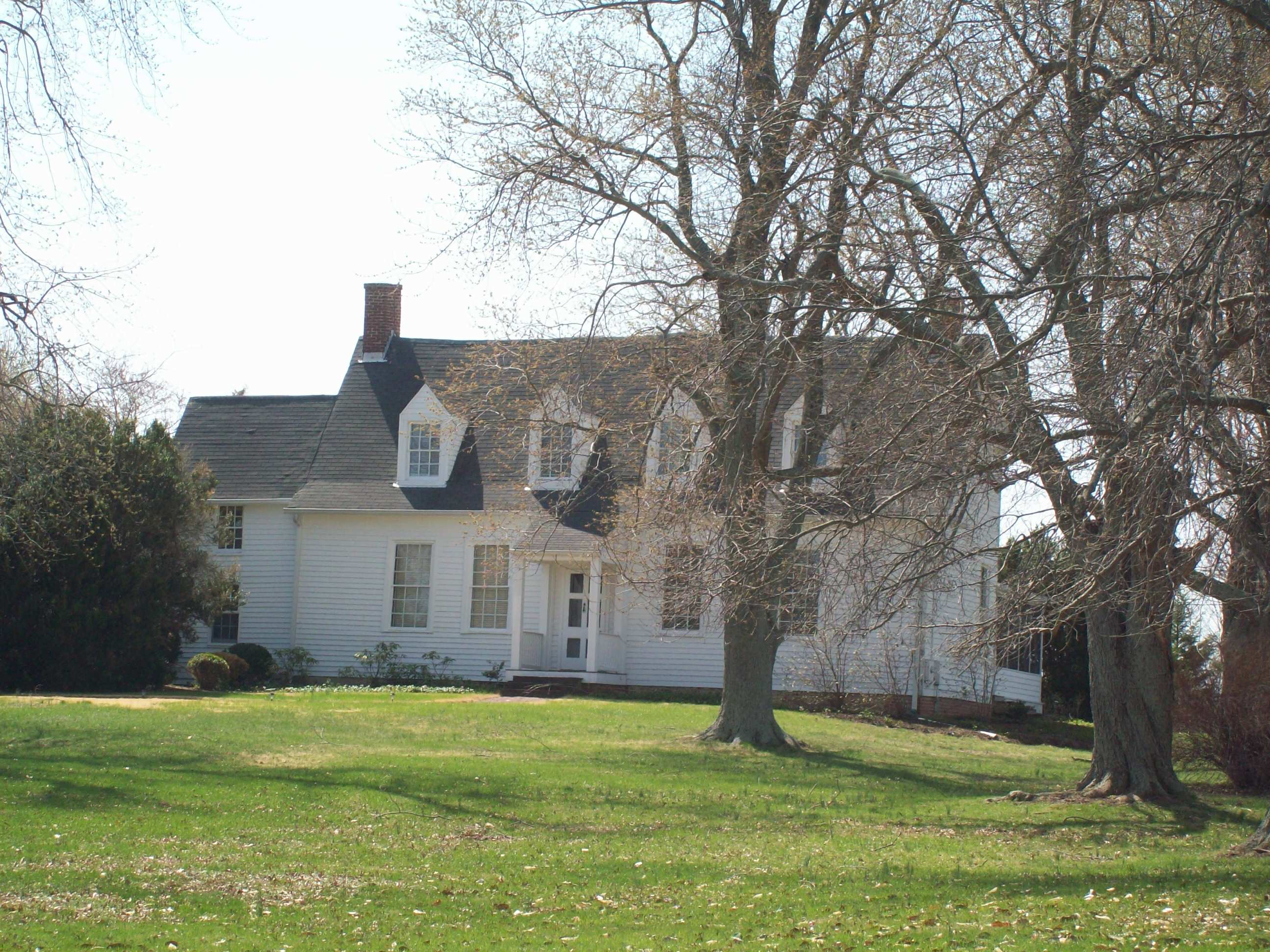
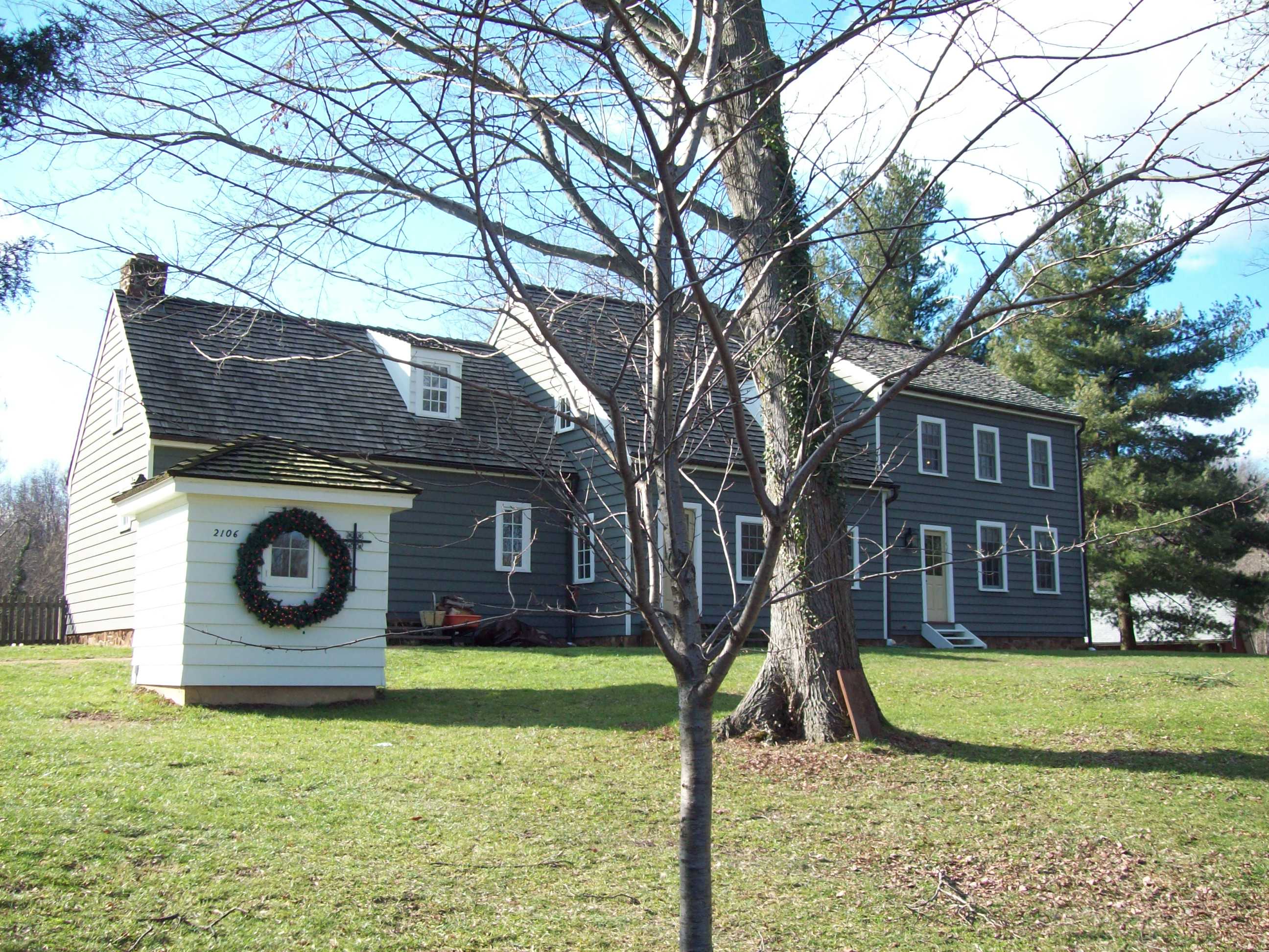
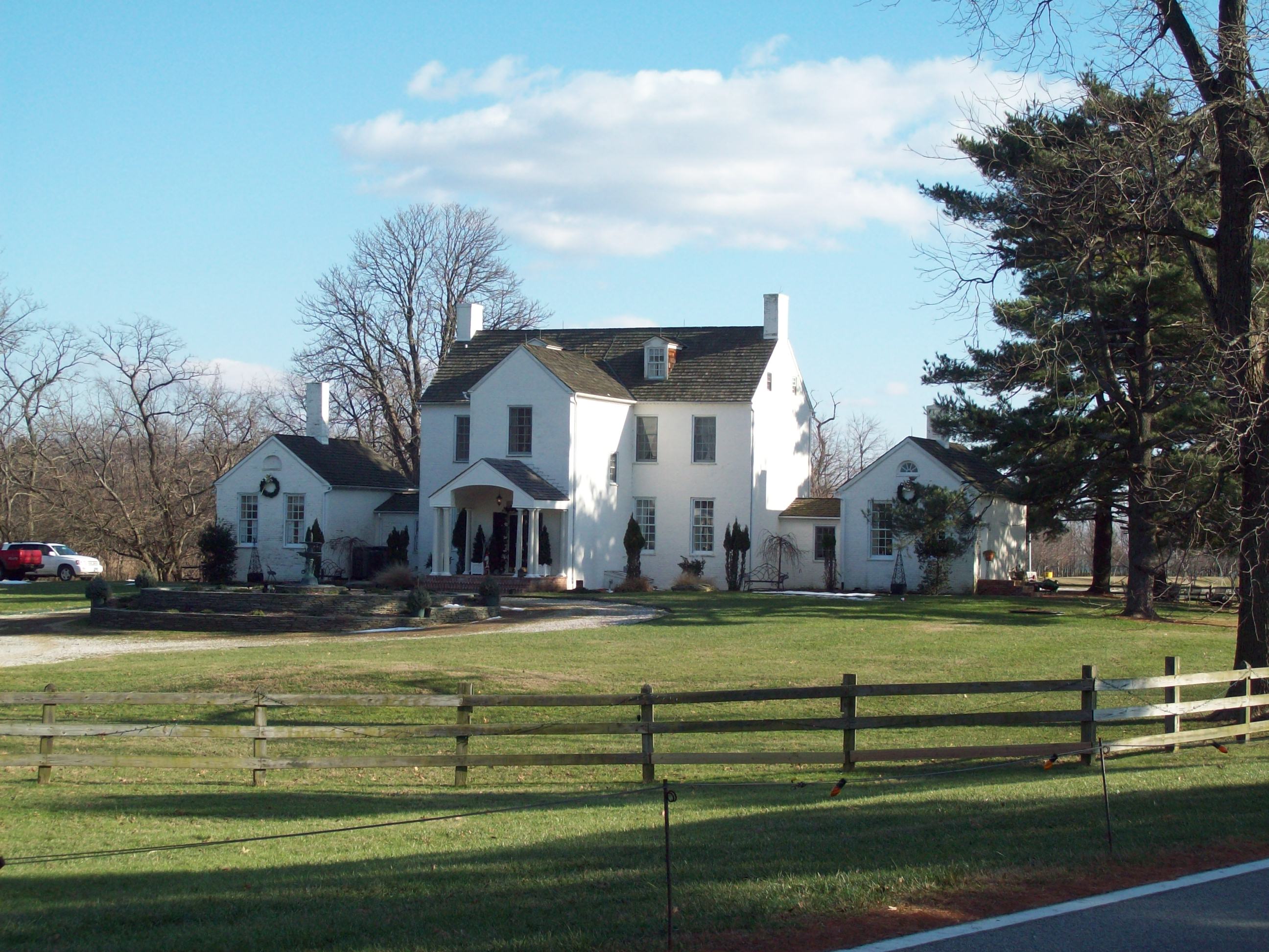
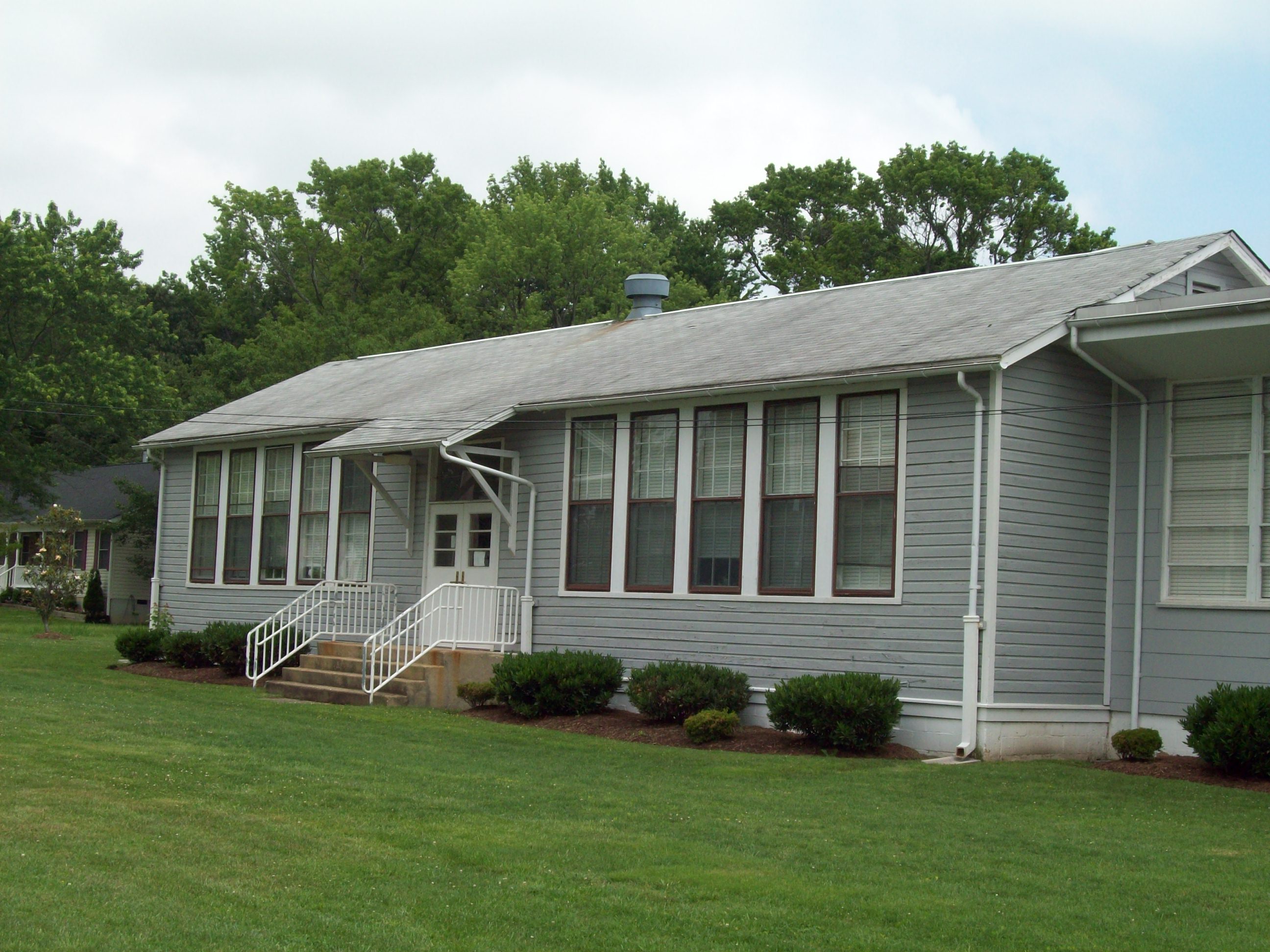
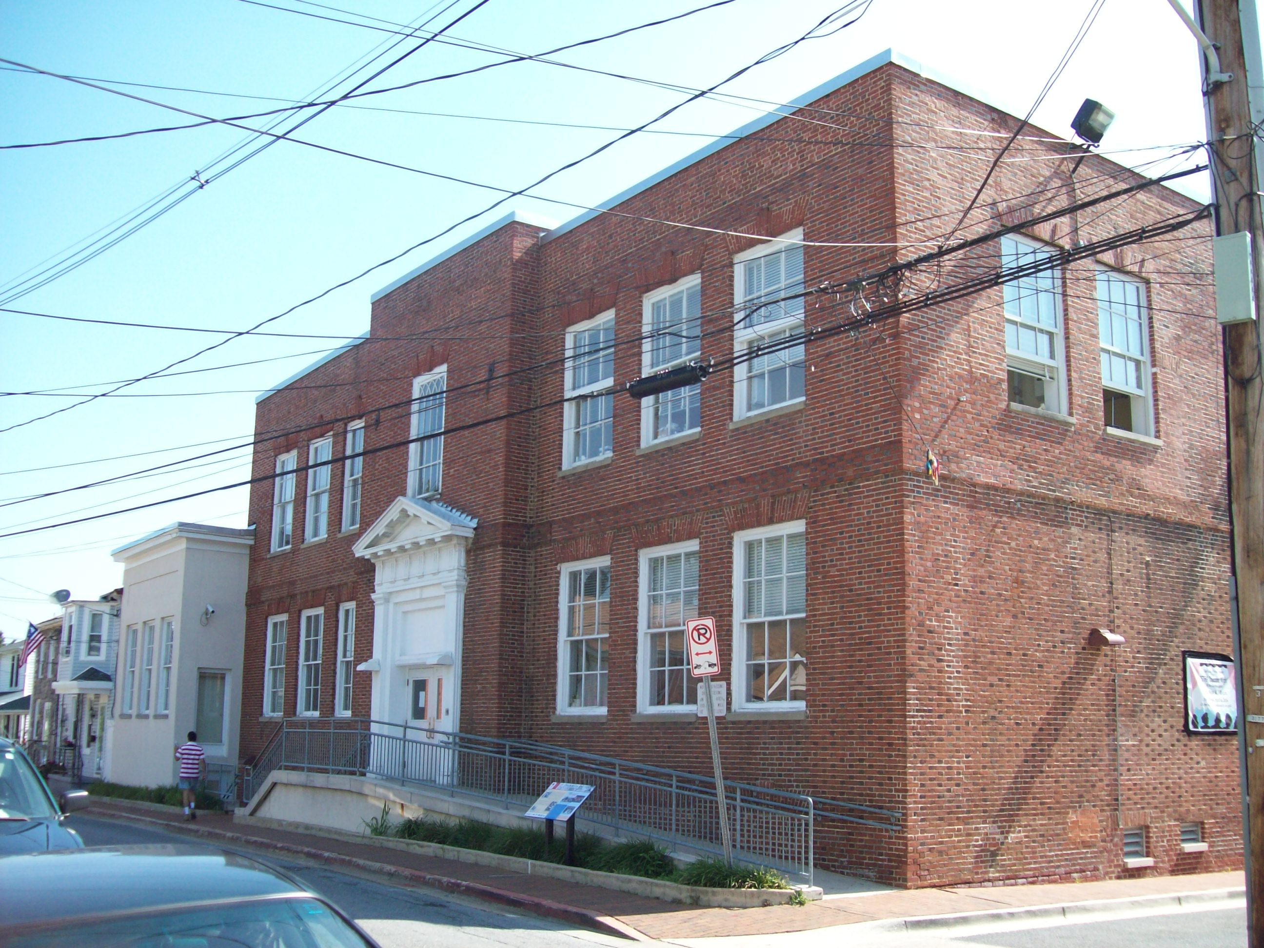
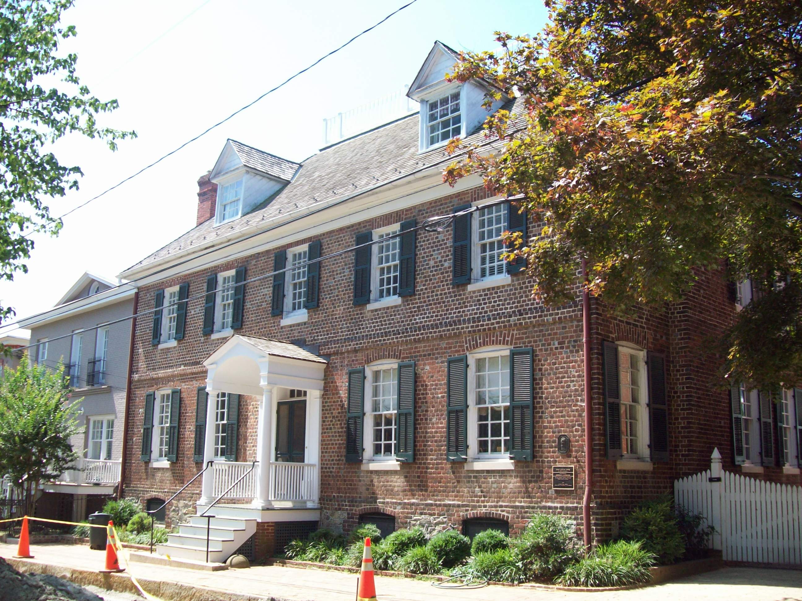
[3] Landmark name[4] Image Date listed Location City or Town Summary 1 Abington Farm 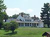
September 13, 1984 1761 Severn Chapel Rd.
39°2′20″N 76°38′59″W / 39.03889°N 76.64972°WMillersville Farmhouse dates to about 1840; on the property are several important outbuildings. 2 Aisquith Farm E Archeological Site 
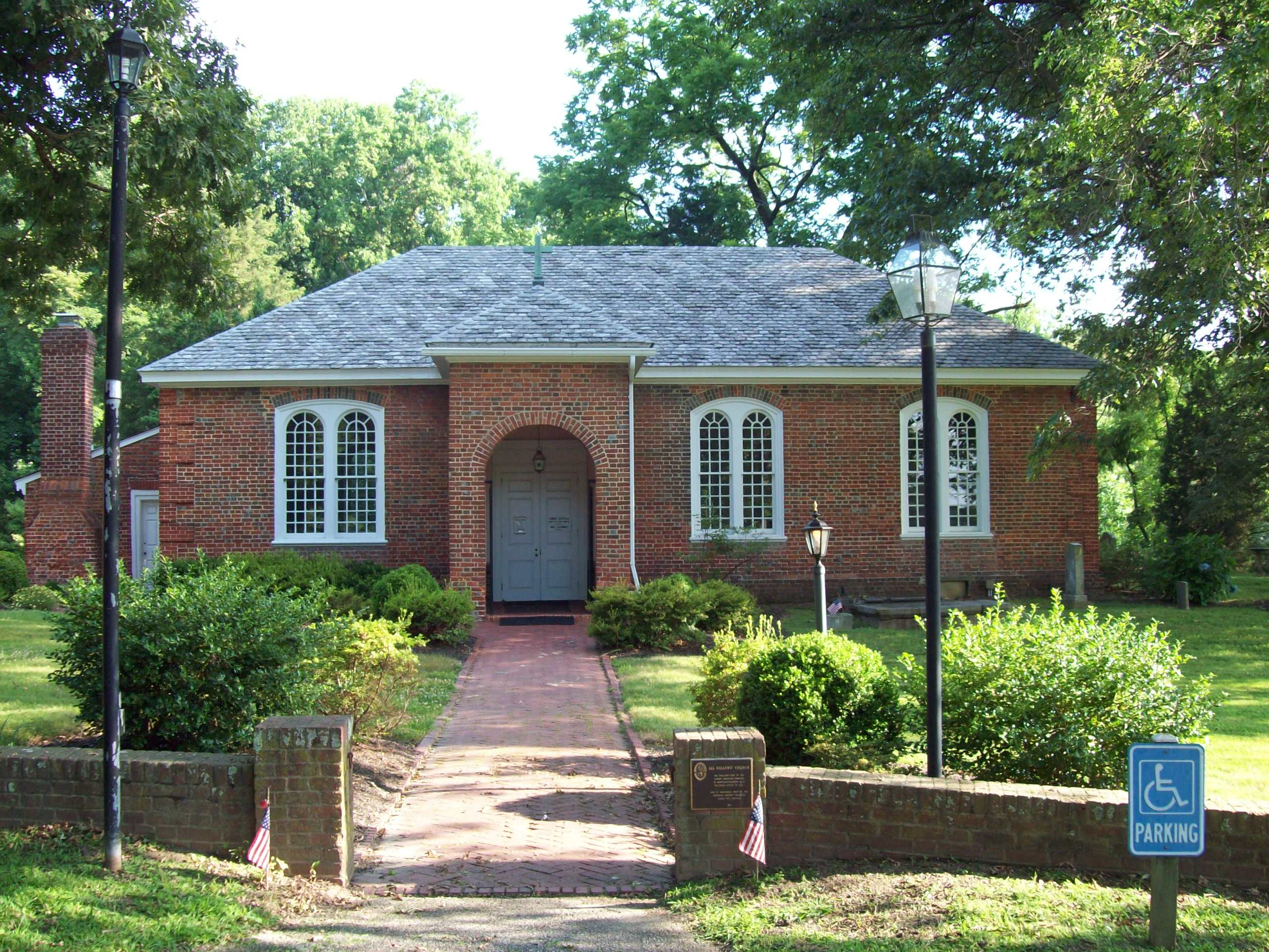
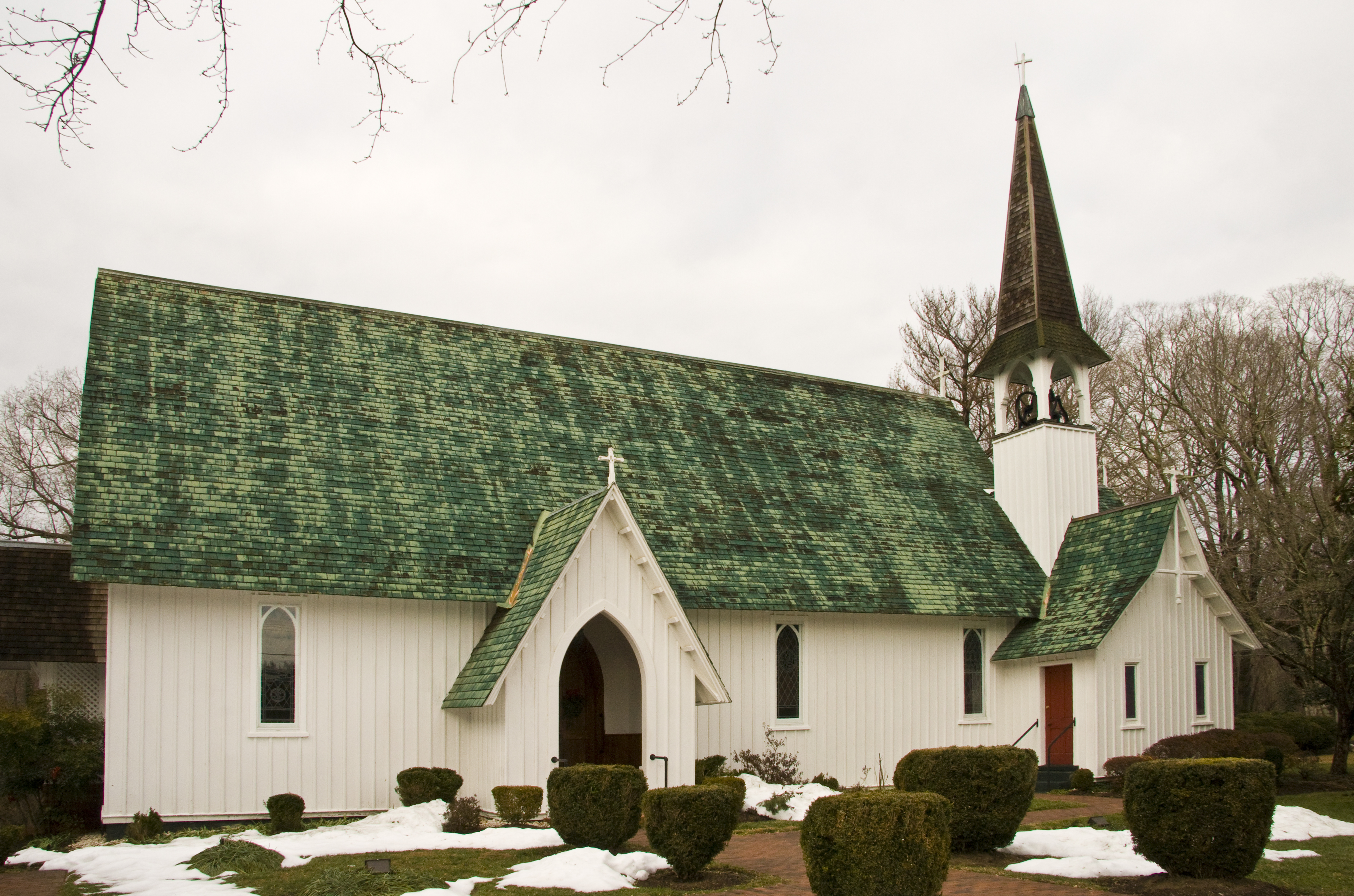
November 8, 1991 Address Restricted Riva Early and Middle Woodland periods base camp. 3 All Hallows' Church 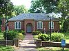
May 15, 1969 Junction of Maryland Route 2, All Hallows' Church Rd., and South River Club Rd.
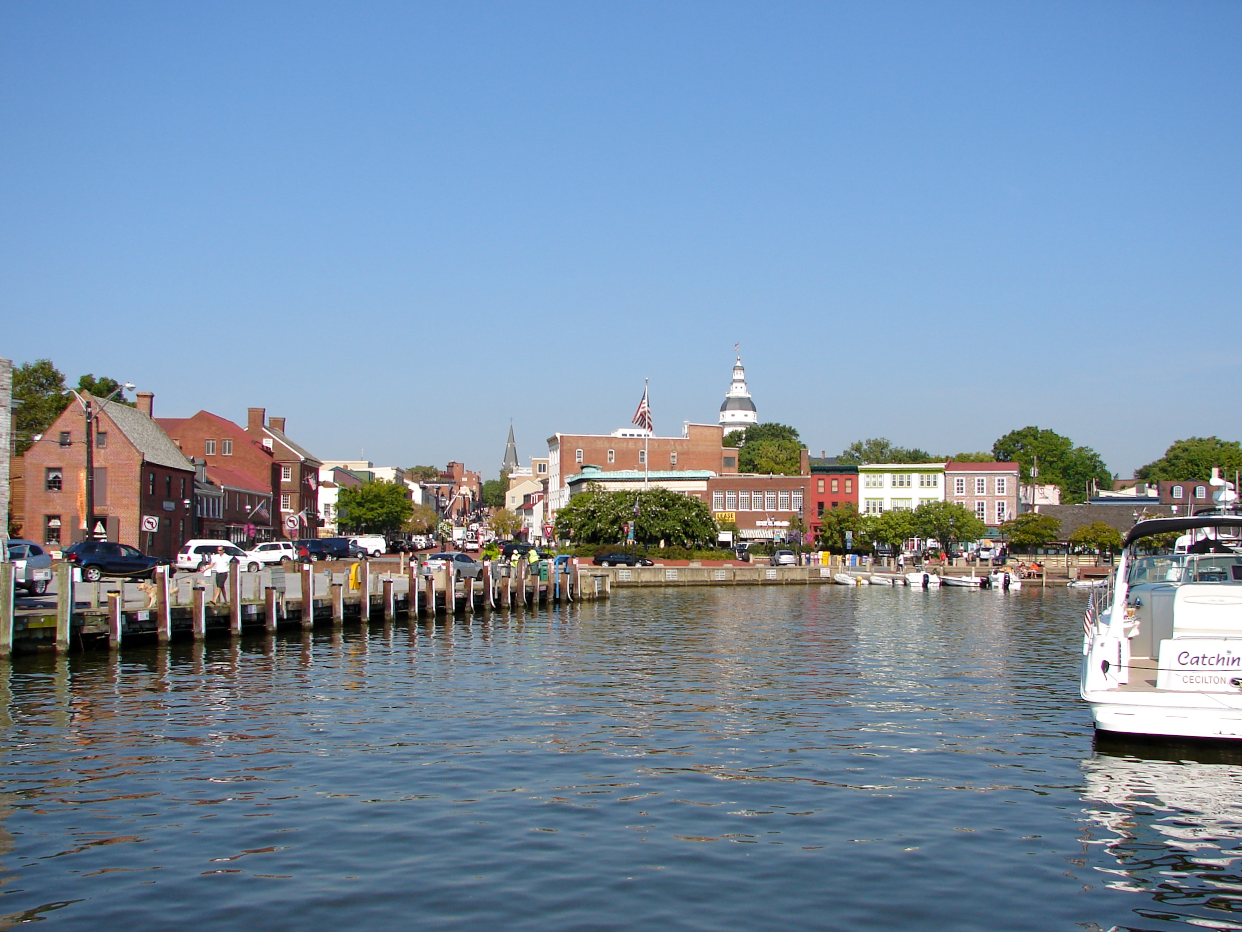
38°54′38″N 76°34′52″W / 38.91056°N 76.58111°WDavidsonville Brick church with a hip roof constructed about 1710; Episcopal parish dates to 1682. 4 Annapolis National Cemetery 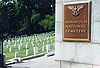
June 13, 1996 800 West St.
38°58′37″N 76°30′21″W / 38.97694°N 76.50583°WAnnapolis One of the 14 national cemeteries established by Abraham Lincoln in 1862; part of the Multiple Property Submission for Civil War Era National Cemeteries. 5 Anne Arundel County Free School 
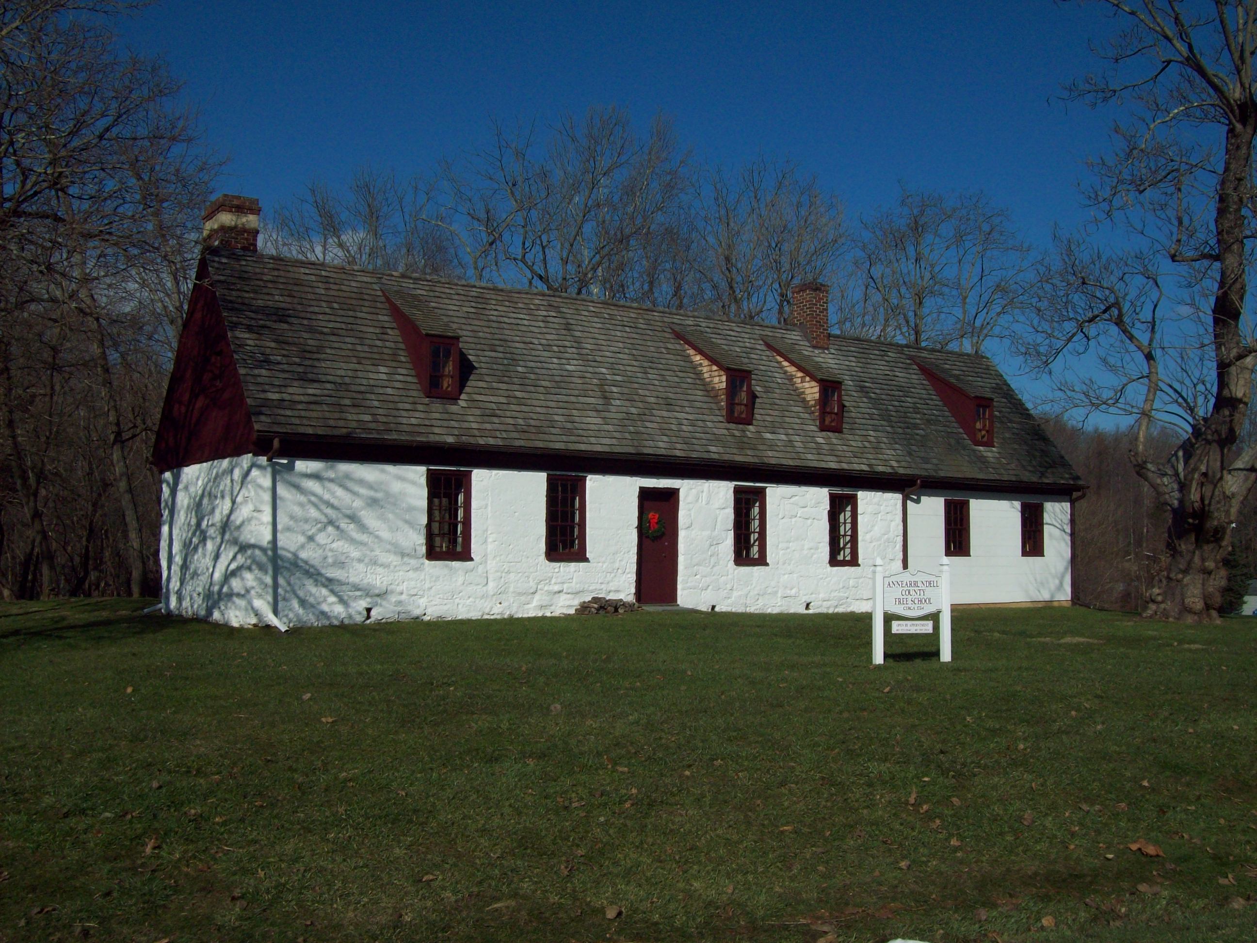
June 16, 1983 1298 Lavall Dr.
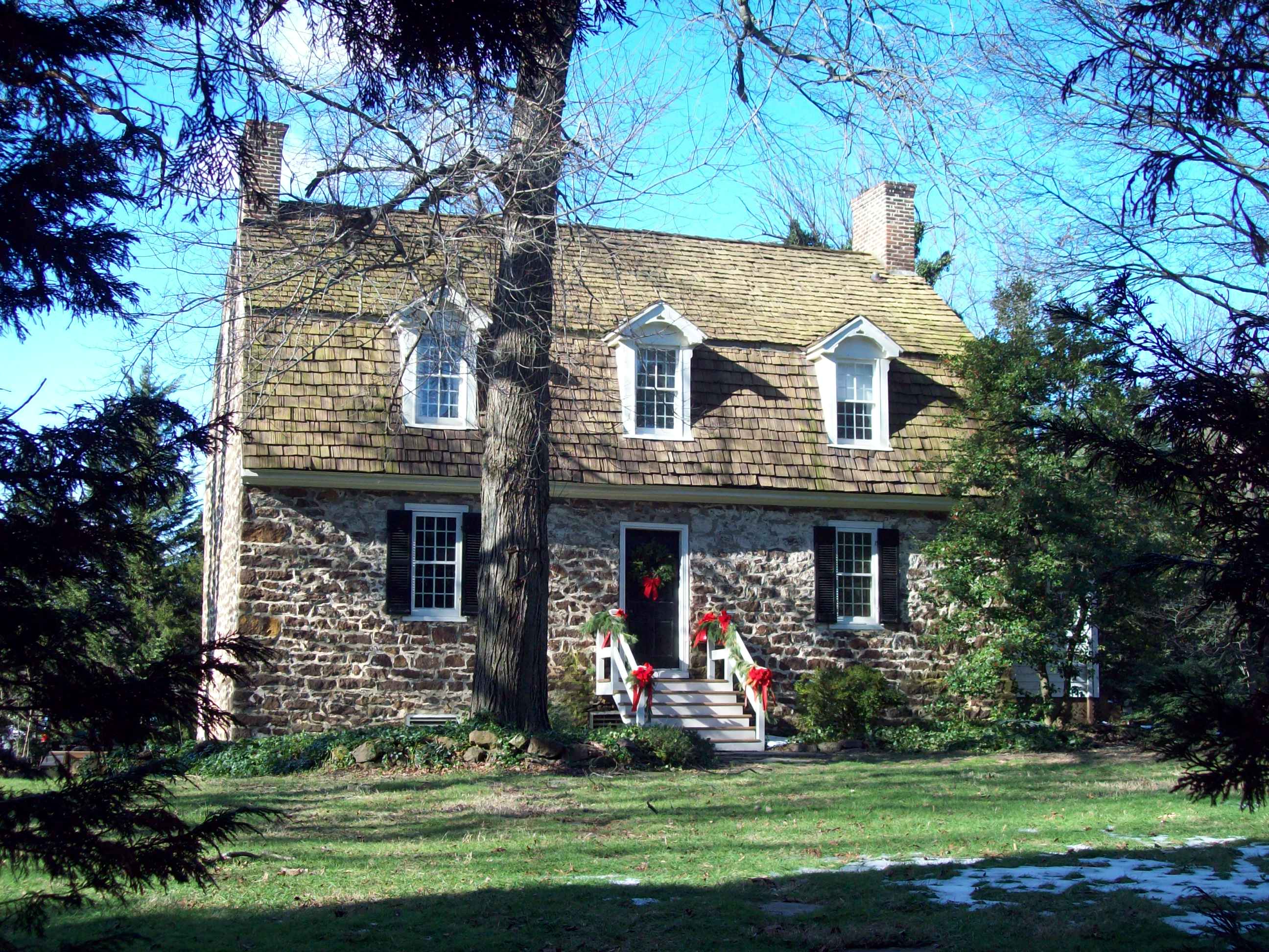
38°58′43″N 76°37′37″W / 38.97861°N 76.62694°WGambrills The only surviving schoolhouse erected in Maryland in response to the Maryland Free School Act of 1723; constructed between 1724 and 1746. 6 Artisan's House 
November 29, 1972 43 Pinckney St.
38°58′43″N 76°29′18″W / 38.97861°N 76.48833°WAnnapolis Frame dwelling from the 18th century; likely used as Revolutionary War barracks. 7 Arundel Cove Archaeological Site July 21, 1983 Address Restricted Glen Burnie Remains of a prehistoric summer camp. 8 Capt. Salem Avery House 
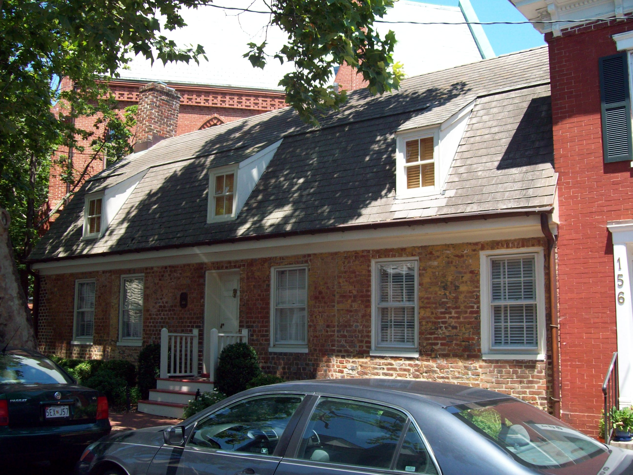
December 21, 2005 1418 East West Shady Side Rd.
38°51′7″N 76°30′43″W / 38.85194°N 76.51194°WShady Side Frame dwelling constructed about 1860; expanded as the National Masonic Fishing and Country Club. 9 Baltimore Light Station 
December 2, 2002 Gibson Island
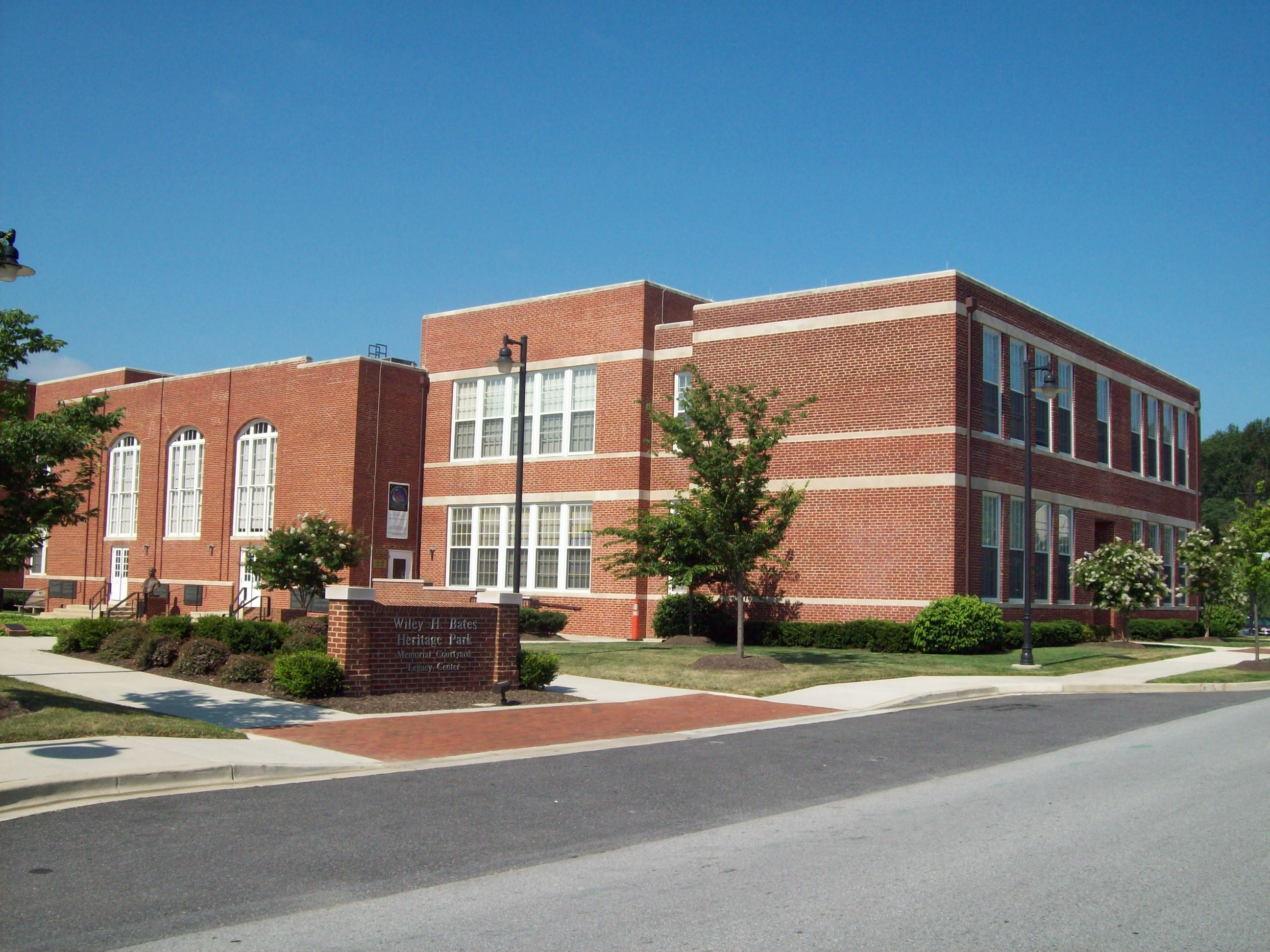
39°3′33″N 76°23′57″W / 39.05917°N 76.39917°WGibson Island Privately owned caisson lighthouse in the Chesapeake Bay; first lit in 1908. 10 Wiley H. Bates High School 
July 26, 1994 1029 Smithville Street
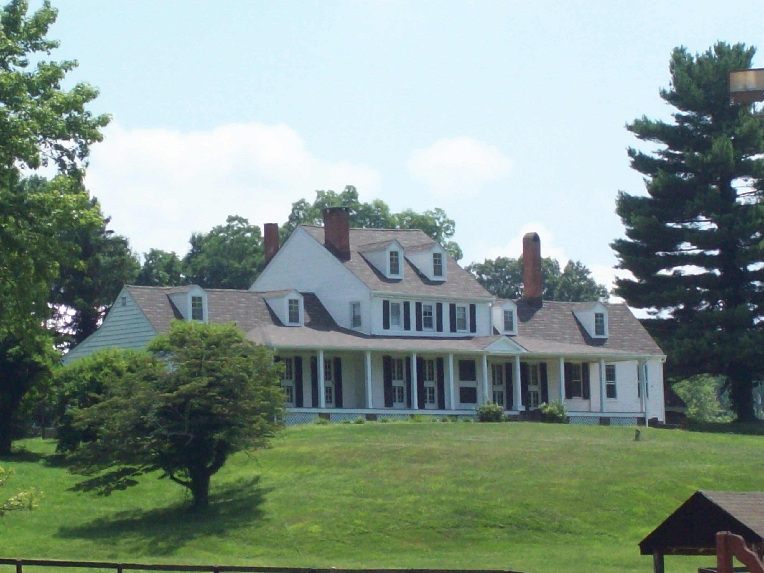
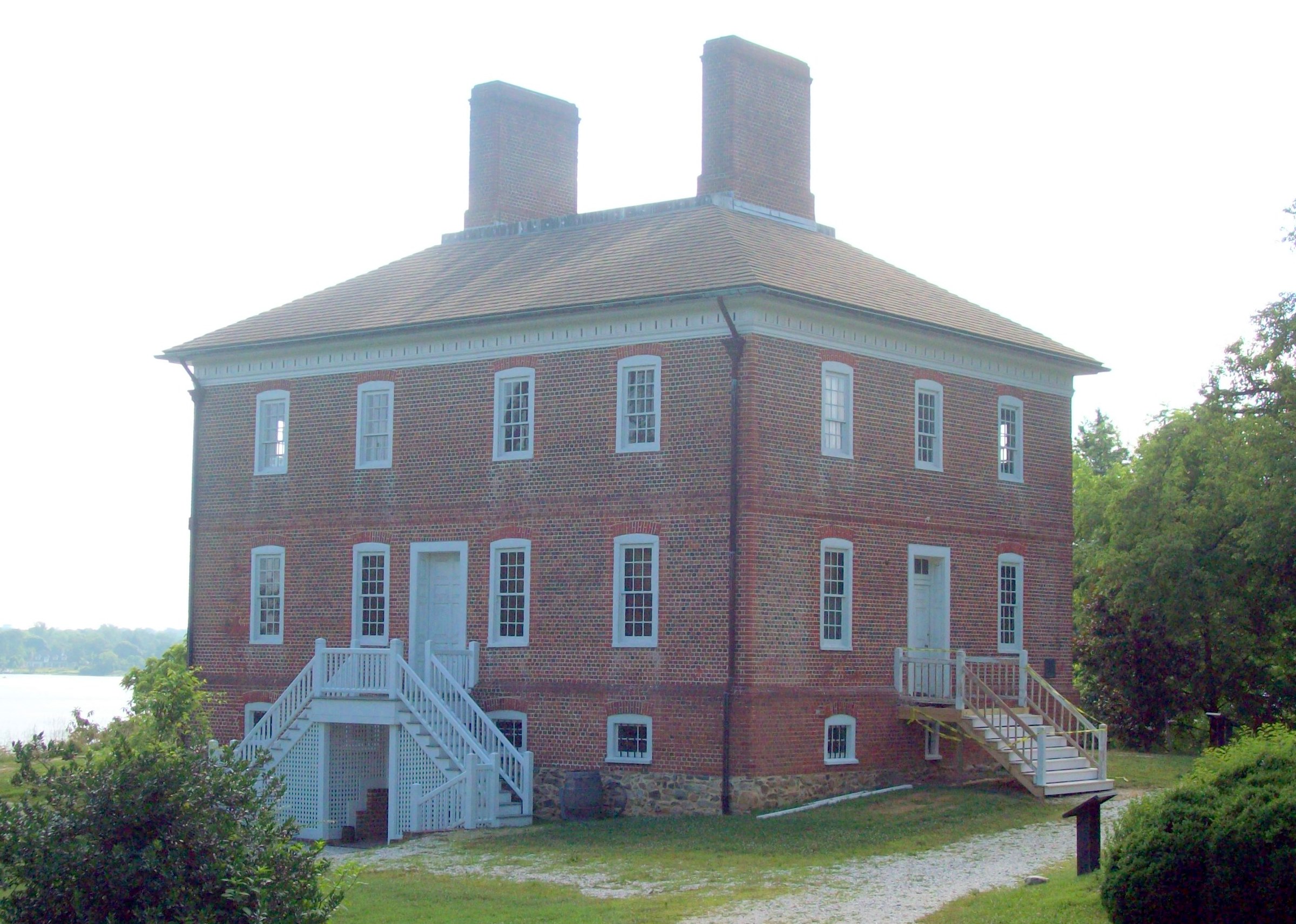
38°58′28″N 76°30′44″W / 38.97444°N 76.51222°WAnnapolis High school for African Americans opened in 1932. 11 Beck Northeast Site (18AN65) January 2, 1986 Address Restricted Davidsonville Site with artifacts dating from the Late Archaic period through the Middle Woodland period. 12 Belvoir 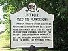
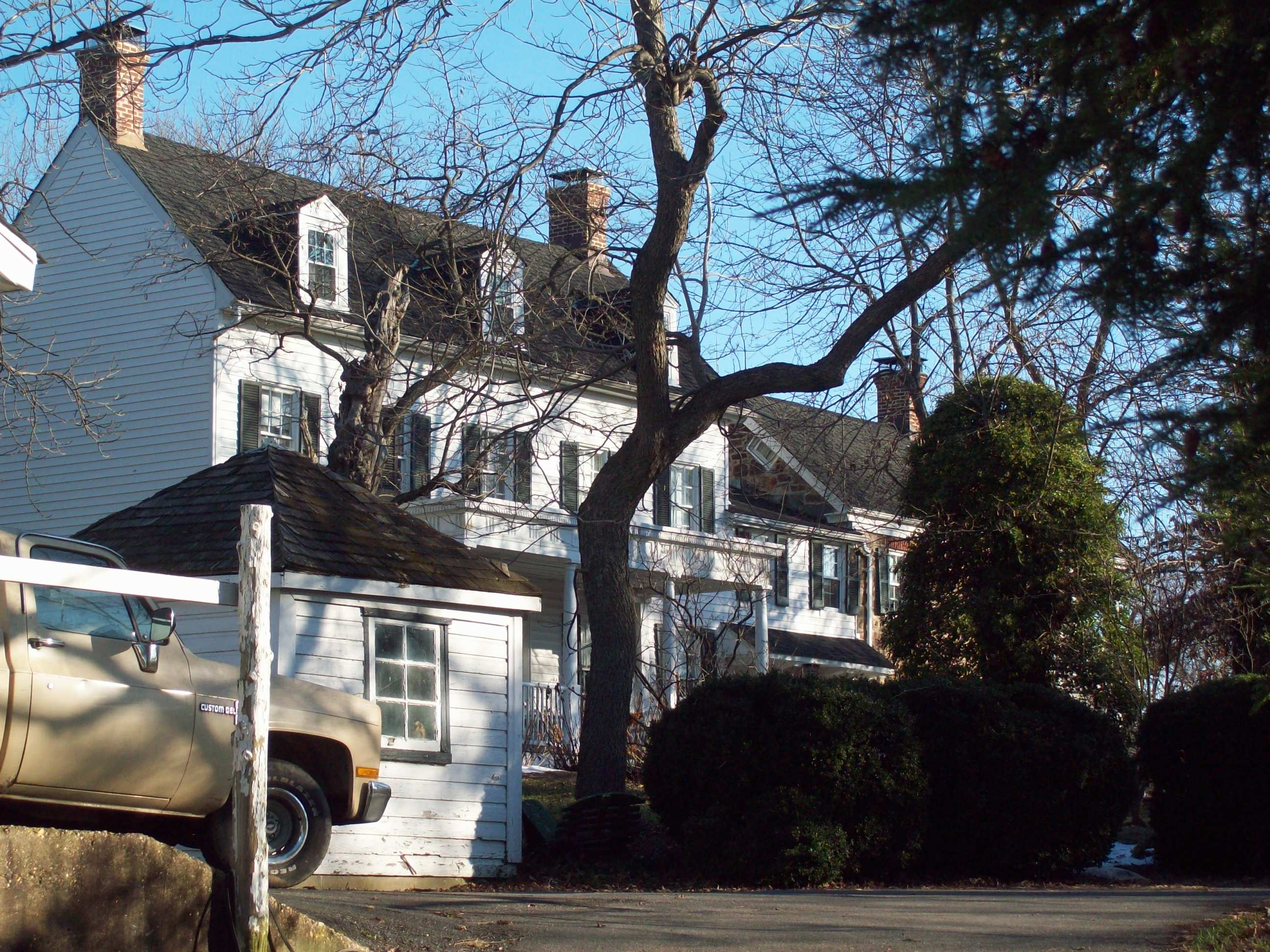
November 19, 1971 0.5 miles (0.80 km) east of Crownsville on Maryland Route 178
39°1′25″N 76°34′57″W / 39.02361°N 76.5825°WCrownsville Brick, stone, and wood composite dwelling with sections possibly built as early as the 17th century. 13 Benson-Hammond House 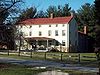
April 5, 1990 Poplar Ave.
39°11′23″N 76°39′17″W / 39.18972°N 76.65472°WLinthicum Greek Revival style, 19th century brick dwelling. 14 Brice House 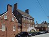
April 15, 1970 42 East St.
38°58′45″N 76°29′16″W / 38.97917°N 76.48778°WAnnapolis Georgian style brick house dating to 1792; now offices. 15 Bunker Hill October 11, 1984 Maryland Route 178 and Millersville Rd.
39°3′24″N 76°37′42″W / 39.05667°N 76.62833°WMillersville Large, eclectic, frame dwelling dating to 1820, with later 19th and 20th century additions. 16 Burle's Town Land January 21, 2011 Address restricted Annapolis vicinity Providence, MD: Archeology of a Puritan-Quaker Settlement Near the Severn River MPS 17 Burrages End 
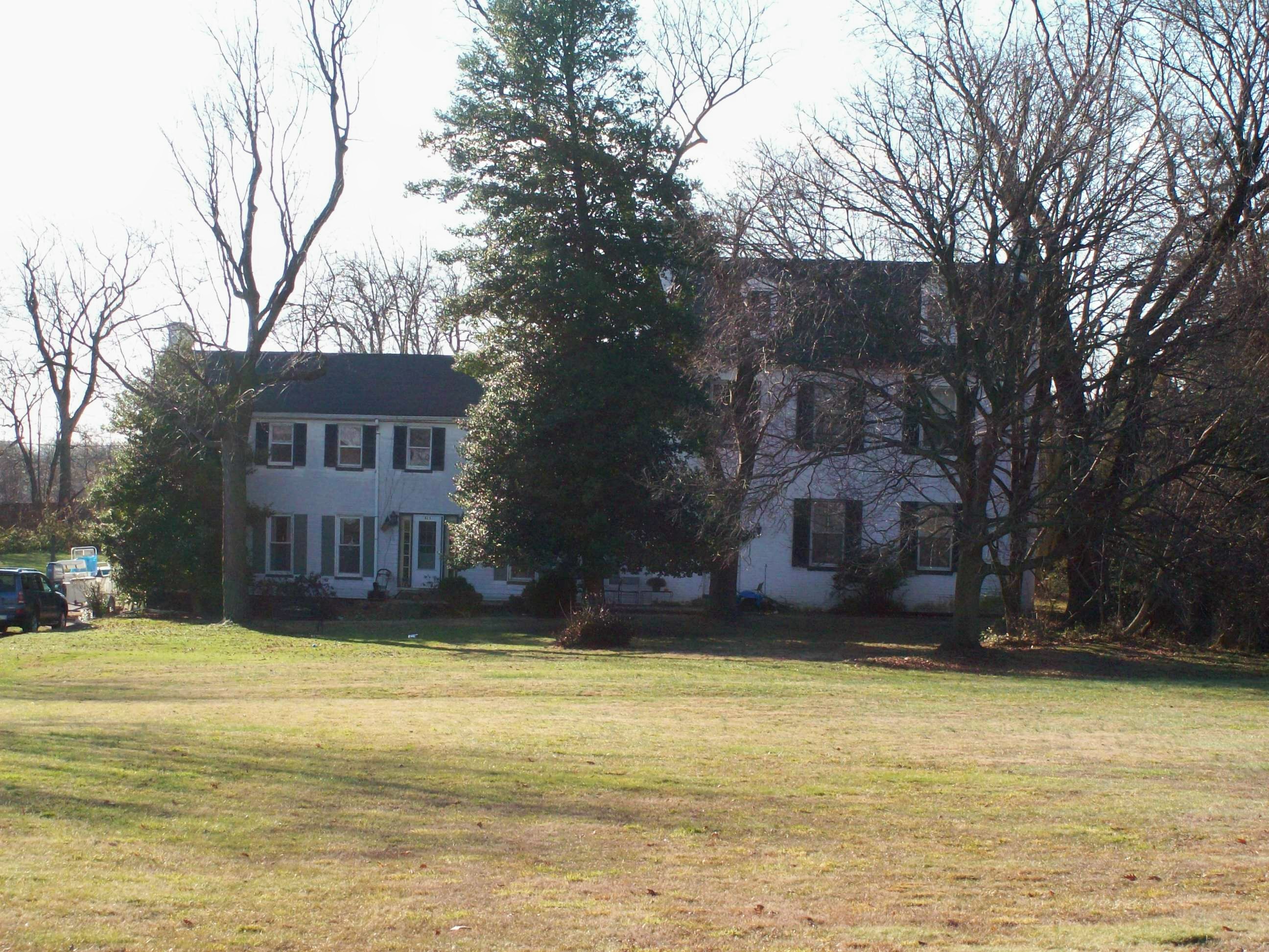
April 11, 1973 Nutwell Rd. off Maryland Route 2
38°47′59″N 76°35′47″W / 38.79972°N 76.59639°WLothian Frame farmhouse dating to the 17th century. 18 John Callahan House 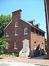
October 2, 1973 164 Conduit St.
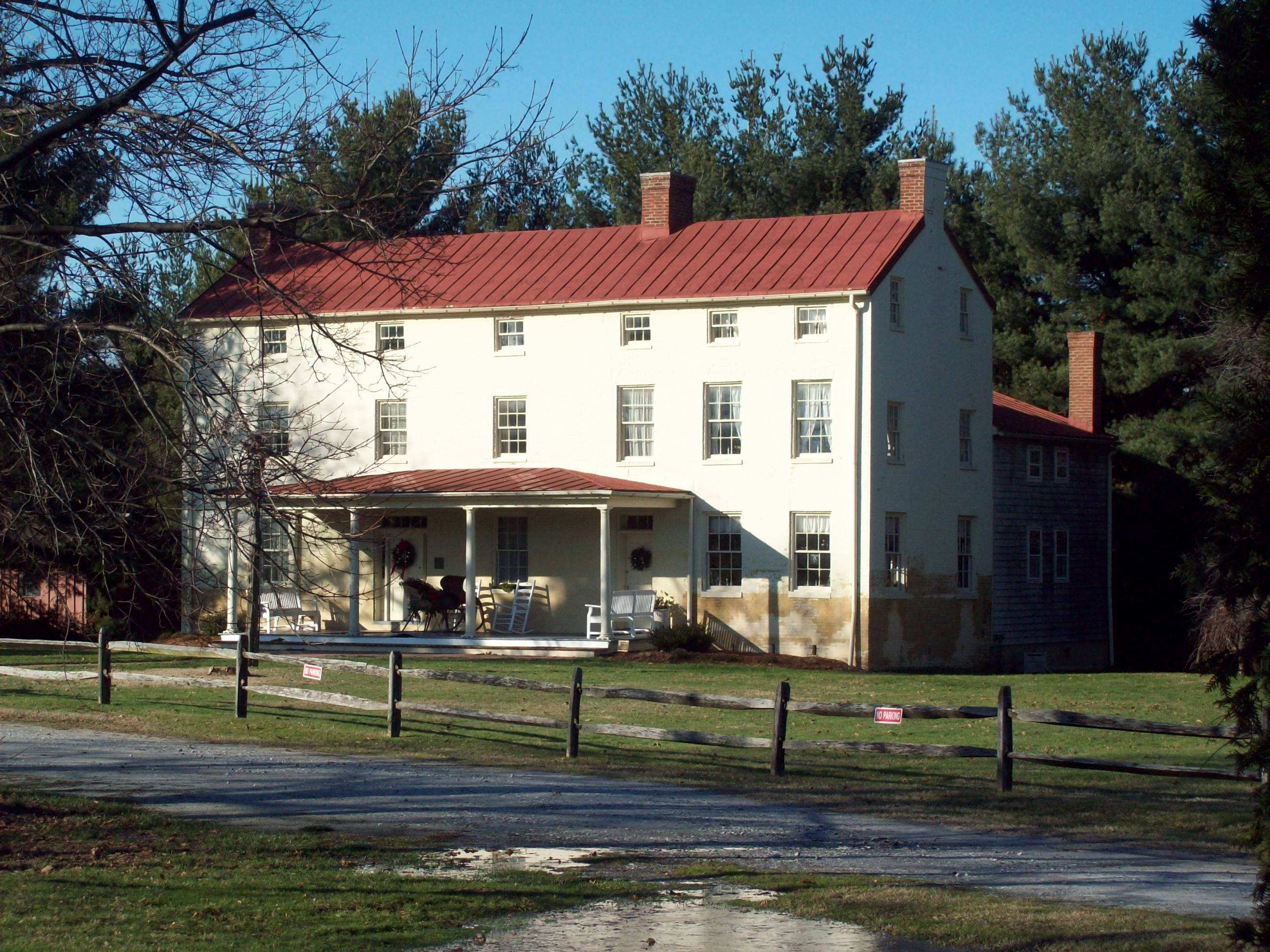
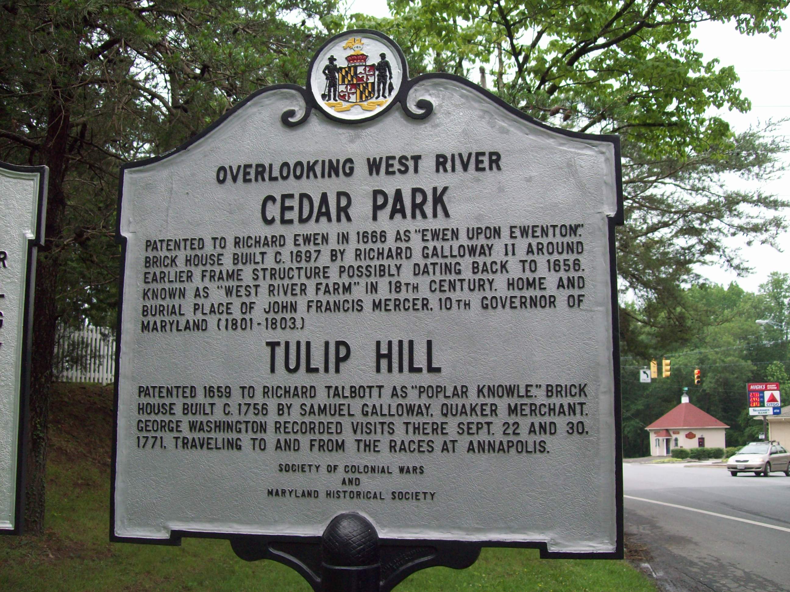
38°58′38.4″N 76°29′24.2″W / 38.977333°N 76.490056°WAnnapolis Brick dwelling with unusual gable-end principal façade; relocated twice. 19 Cedar Park 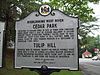
May 15, 1969 North of Galesville off Cumberstone Rd.
38°51′37″N 76°32′56″W / 38.86028°N 76.54889°WGalesville Dwelling originally constructed in 1702, with later 18th and 19th century additions; operated for a time as a girl's academy. 20 Chance Boatyard April 14, 1999 222 Severn Ave.
38°58′22″N 76°28′54″W / 38.97278°N 76.48167°WAnnapolis Former boat-building and repair complex built between 1913 and 1942. 21 Chase-Lloyd House 
April 15, 1970 22 Maryland Ave.
38°58′52″N 76°29′21″W / 38.98111°N 76.48917°WAnnapolis Georgian brick mansion built 1769-1774 for Samuel Chase; now house museum. 22 Childs Residence 
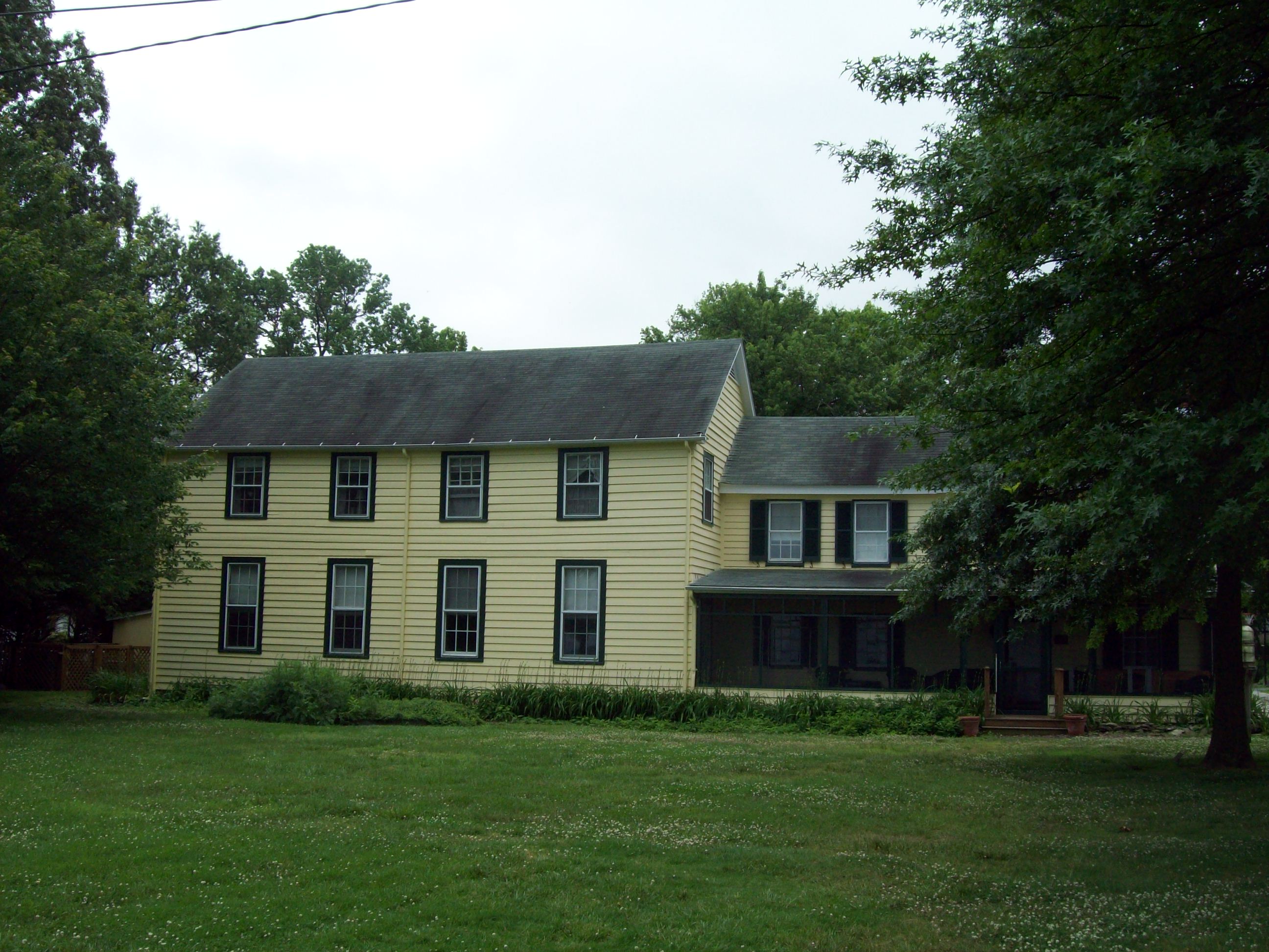
March 6, 1986 1003 Cecil Ave.
39°3′23″N 76°38′56″W / 39.05639°N 76.64889°WMillersville Former Post Office and community store built 1840-1852. 23 Christ Church 
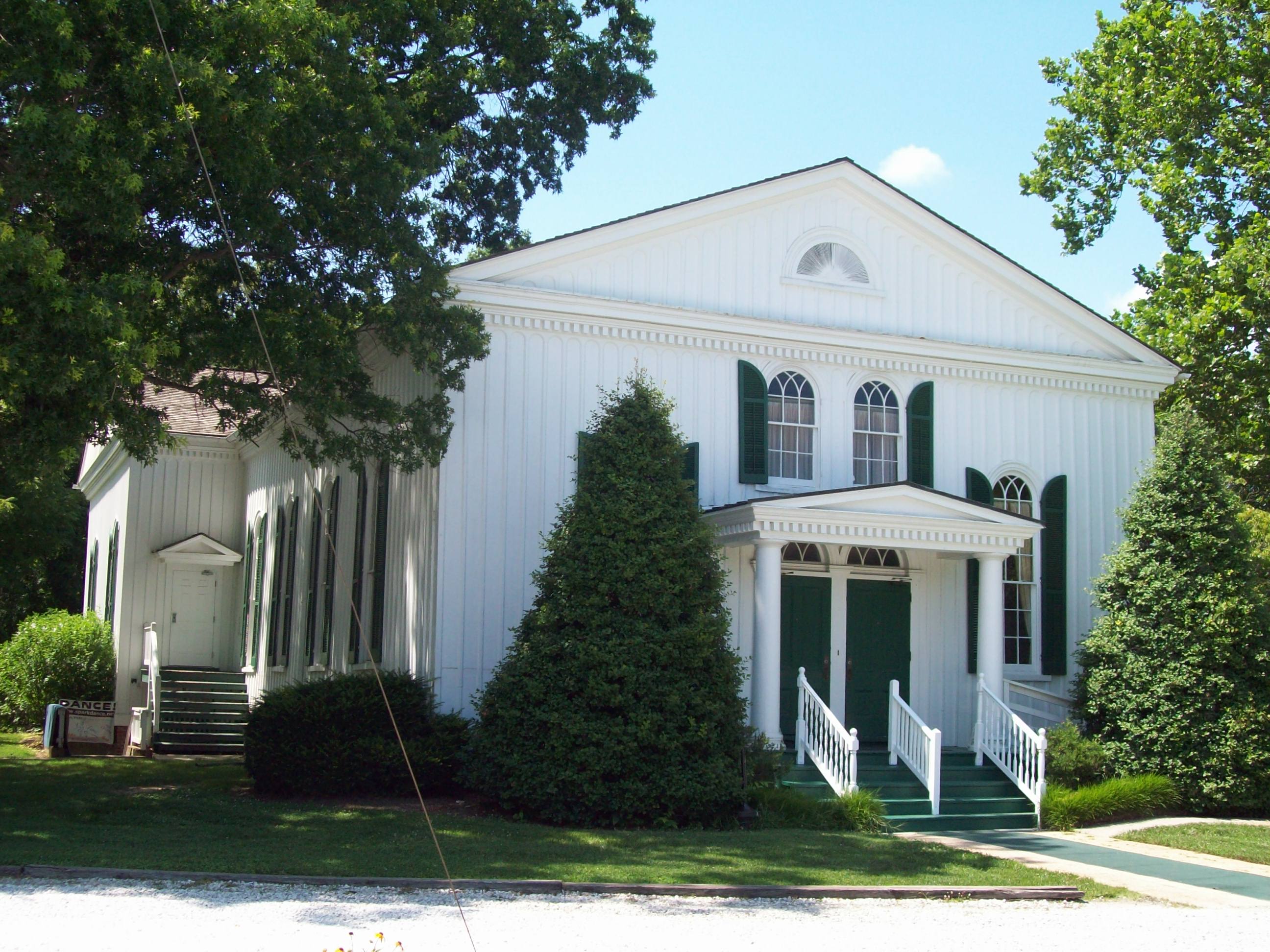
June 18, 1973 Owensville Rd. (Maryland Route 255)
38°51′10″N 76°35′46″W / 38.85278°N 76.59611°WOwensville Small, board-and-batten church dated to 1869, and reputed to be by the noted church architect, Richard Upjohn. 24 Colonial Annapolis Historic District 
October 15, 1966 District boundaries approximate city boundaries surveyed in 1695
38°58′41″N 76°29′29″W / 38.97806°N 76.49139°WAnnapolis District encompassing the original town plan, surveyed in 1695, and about 120 18th century buildings. 25 Patrick Creagh House 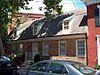
January 29, 1973 160 Prince George St.
38°58′41″N 76°29′10″W / 38.97806°N 76.48611°WAnnapolis A brick house with a steeply pitched gambrel roof originally built between 1735 and 1747. 26 Cross Roads Church 
February 10, 1983 911 Old General's Highway
39°3′34″N 76°37′43″W / 39.05944°N 76.62861°WMillersville Frame Italianate and Carpenter Gothic-style church built in 1861. 27 Davidsonville Historic District 
March 27, 1992 Along Maryland Route 214 east to its junction with Davidsonville Rd.
38°55′19″N 76°37′51″W / 38.92194°N 76.63083°WDavidsonville District reflecting the village’s initial settlement in about 1835 through the early 20th century. 28 Douglass Summer House 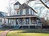
February 20, 1992 3200 Wayman Ave.
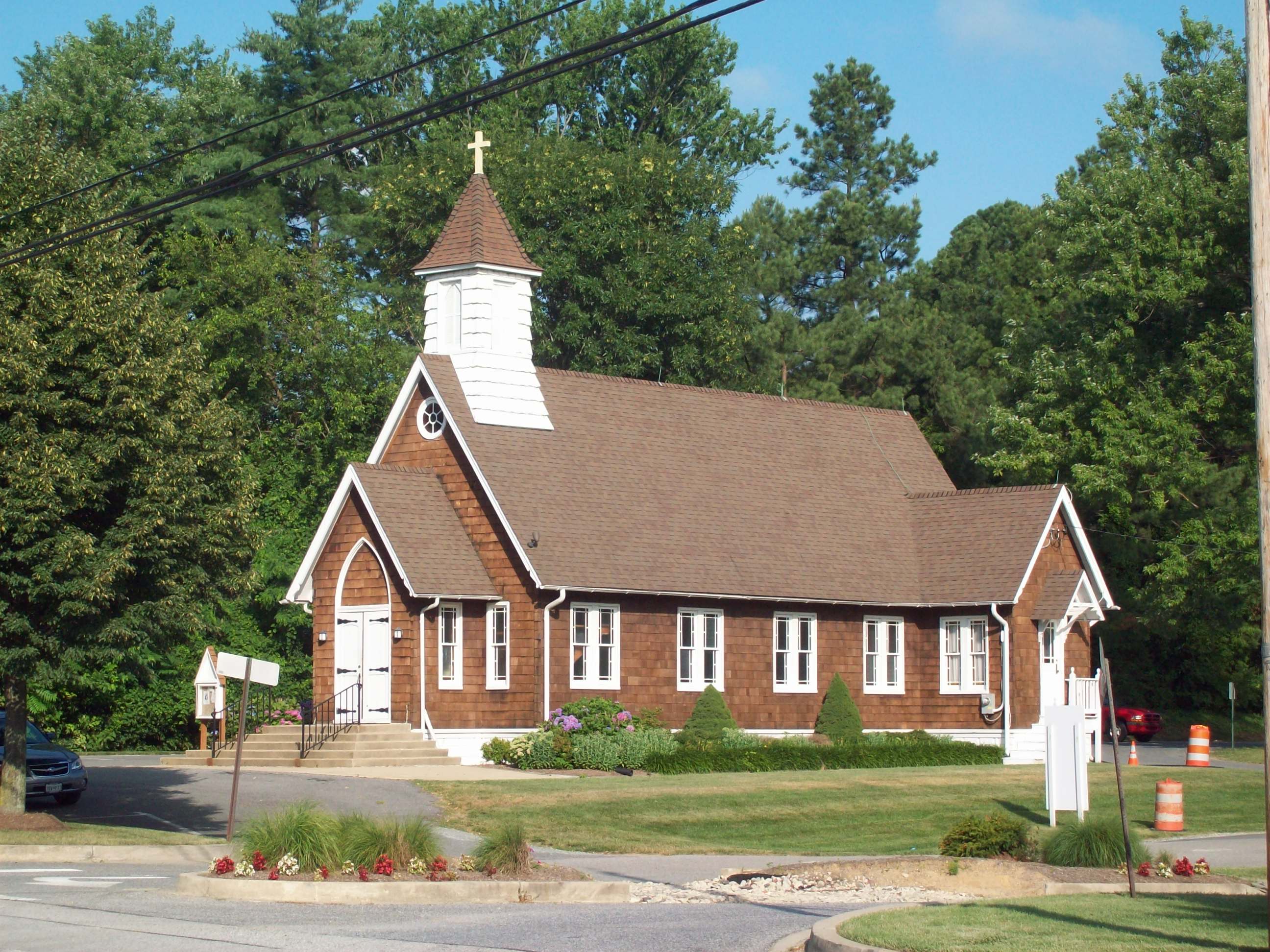
38°55′49″N 76°28′2″W / 38.93028°N 76.46722°WHighland Beach Queen Anne style frame dwelling built in 1894-1895 by Major Charles Douglass, son of Frederick Douglass. 29 Elkridge Site May 22, 1978 Address Restricted Elkridge Site abandoned as a permanent village in the early 16th century. 30 Epiphany Chapel and Church House 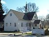
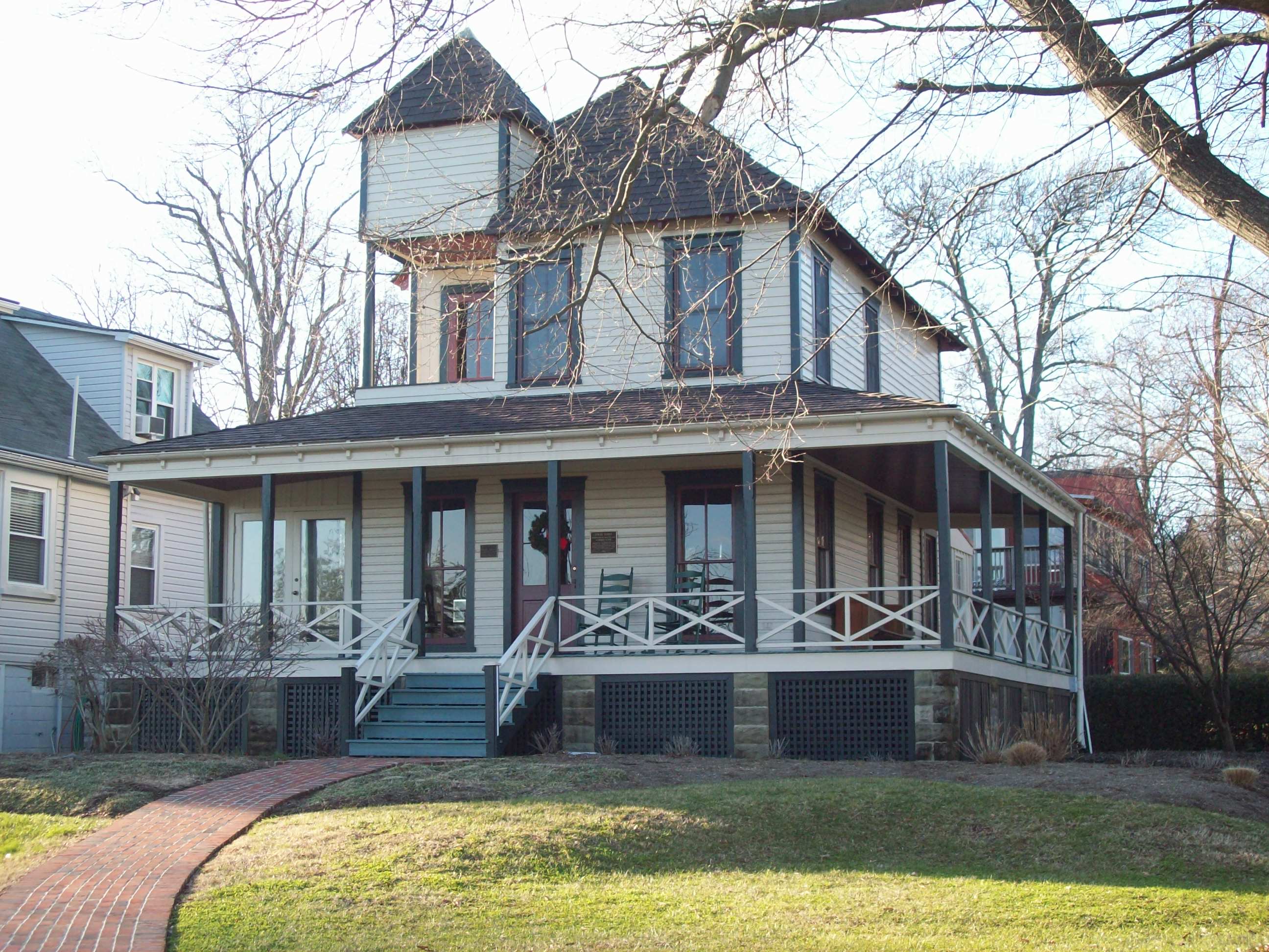
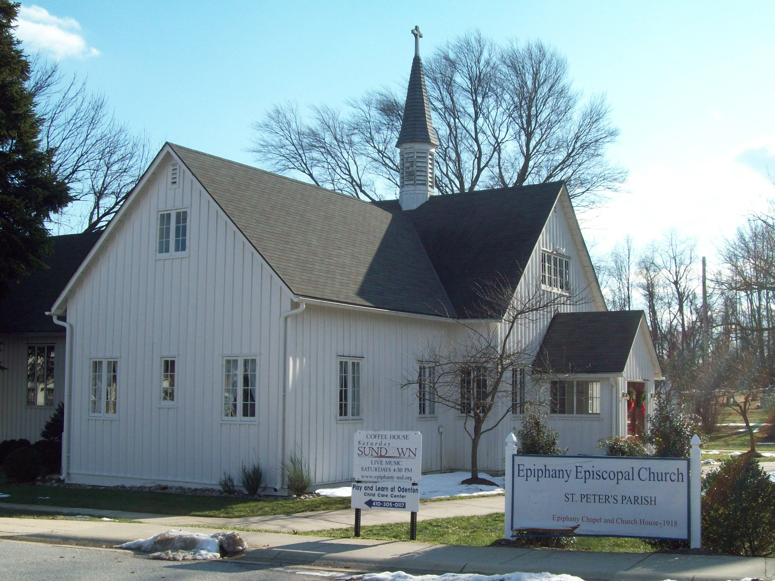
December 7, 2001 1419 Odenton Rd.
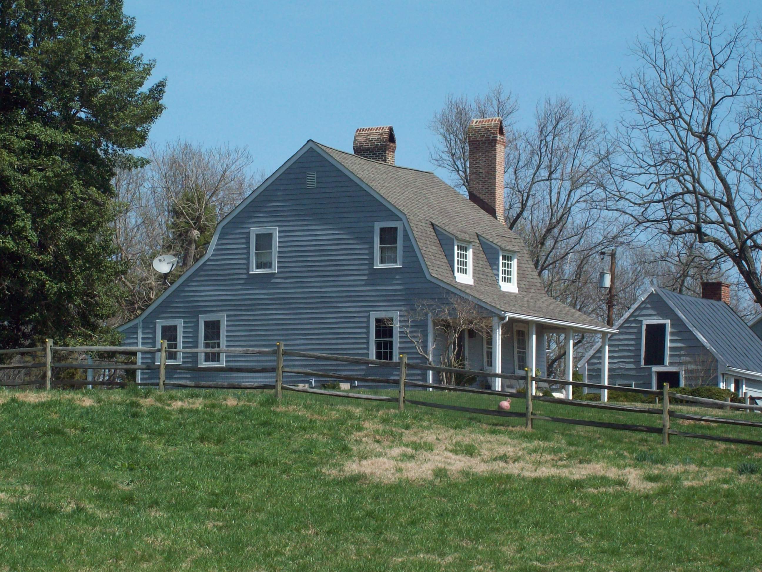
39°5′13″N 76°42′32″W / 39.08694°N 76.70889°WOdenton Arts and Crafts style structure constructed in 1918 adjacent to Camp Meade (now Fort George G. Meade). 31 Evergreen 
May 15, 1969 Sudley Rd., off Maryland Route 255
38°50′27″N 76°35′21″W / 38.84083°N 76.58917°WOwensville Federal style frame house dated to 1760. 32 First Avenue School 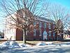
December 26, 2007 13 SW 1st Ave.
39°9′54″N 76°37′39″W / 39.165°N 76.6275°WGlen Burnie Classical Revival structure built in 1899 and with an addition in 1917. 33 Fort Nonsense October 28, 1984 Address Restricted Annapolis The last vestige of Annapolis Harbor fortifications dated to the early 19th century. 34 Freetown Rosenwald School 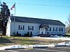
September 12, 2007 7825 Freetown Rd.
39°8′27″N 76°34′38″W / 39.14083°N 76.57722°WGlen Burnie African American Rosenwald school building built in 1924-25. 35 Grassland September 13, 1984 Maryland Route 32
39°7′6″N 76°46′41″W / 39.11833°N 76.77806°WAnnapolis Junction Brick structure built in 1853 in a telescoping manner. 36 Gresham September 7, 1984 784 Mayo Rd.
38°54′36″N 76°31′44″W / 38.91°N 76.52889°WEdgewater Frame dwelling built in the early 19th century. 37 Hammond-Harwood House 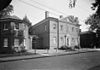
October 15, 1966 Maryland Ave. and King George St.
38°58′51″N 76°29′19″W / 38.98083°N 76.48861°WAnnapolis House designed 1773-1774 and based on plate in Andrea Palladio’s I Quattro Libri dell’Architettura, 1570; now house museum. 38 Hancock's Resolution 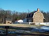
October 10, 1975 East of Pasadena on Bayside Beach Rd.
39°8′6″N 76°26′49″W / 39.135°N 76.44694°WPasadena Stone house constructed originally in 1785, with later additions; open as house museum. 39 HELIANTHUS III (yacht) August 9, 1984 Hilton Inn dock
38°58′31″N 76°29′49″W / 38.97528°N 76.49694°WAnnapolis Yacht built by Nathanael Greene Herreshoff (1848–1938) in 1924; lost at sea in the 1990s. 40 Holly Hill 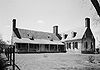
October 26, 1971 Southeast of Friendship off Maryland Route 631
38°43′30″N 76°33′59″W / 38.725°N 76.56639°WFriendship Original frame dwelling constructed in the fall or winter of 1698, later enclosed in brick with additions. 41 House by the "Town Gates" June 19, 1973 63 West St.
38°58′41″N 76°29′47″W / 38.97806°N 76.49639°WAnnapolis Brick structure constructed in the second quarter of the 19th century as a single-family dwelling; now commercial space. 42 Howard's Inheritance July 23, 1998 721 Howard's Loop
38°59′44″N 76°31′20″W / 38.99556°N 76.52222°WAnnapolis Brick house constructed as early as 1760. 43 Iglehart March 7, 1973 Maryland Route 178
39°0′37″N 76°34′6″W / 39.01028°N 76.56833°WIglehart Greek Revival-style frame house built about 1830. 44 Indian Range 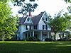
February 13, 1986 1012 Mt. Airy Rd.
38°55′46″N 76°38′55″W / 38.92944°N 76.64861°WDavidsonville Gothic Revival country home built about 1852. 45 Katcef Archeological Site November 8, 1991 Address Restricted Crofton Site from the Late Archaic period; part of Multiple Property Submission Prehistoric Human Adaptation to the Coastal Plain Environment of Anne Arundel County. 46 Larkin's Hill Farm May 15, 1969 Off Maryland Route 2 on Mill Swamp Rd. Harwood Brick house built about 1753; the estate served as a temporary capital of Maryland in 1683. 47 Larkin's Hundred May 15, 1969 Northeast of Harwood on Mill Swamp Rd.
38°53′19″N 76°34′57″W / 38.88861°N 76.5825°WHarwood Brick house traditionally thought to have been built in 1704; likely constructed in the second quarter of the 18th century. 48 Linthicum Heights Historic District 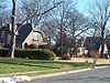
May 31, 2006 Roughly bounded by Camp Meade Rd., Homewood Rd., Twin Oaks Rd., Locust Grove Rd., and Forest View Rd.
39°12′22″N 76°39′17″W / 39.20611°N 76.65472°WLinthicum District encompassing a planned railroad suburb on the lines connecting Baltimore, Annapolis, and Washington, beginning in 1908. 49 Linthicum Walks 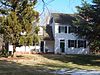
August 9, 1984 2295 Davidsonville Rd.
38°59′56″N 76°40′15″W / 38.99889°N 76.67083°WCrofton Farm complex including 19th century frame dwelling and tobacco barn. 50 London Town Publik House 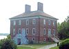
April 15, 1970 Northeast of Woodland Beach at the end of Londontown Rd.
38°56′30″N 76°32′25″W / 38.94167°N 76.54028°WWoodland Beach Former Colonial era tavern built between 1758 and 1764; now part of Historic London Town and Gardens. 51 Magothy Quartzite Quarry Archeological Site November 8, 1991 Address Restricted Pasadena Site includes several large outcroppings of quartzite and sandstone; part of Multiple Property Submission Prehistoric Human Adaptation to the Coastal Plain Environment of Anne Arundel County. 52 Martins Pond Site June 5, 1975 Address Restricted Annapolis Middle-Late Woodland period site. 53 Mary's Mount 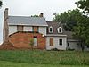
May 15, 1969 Northeast of Harwood off Mill Swamp Rd.
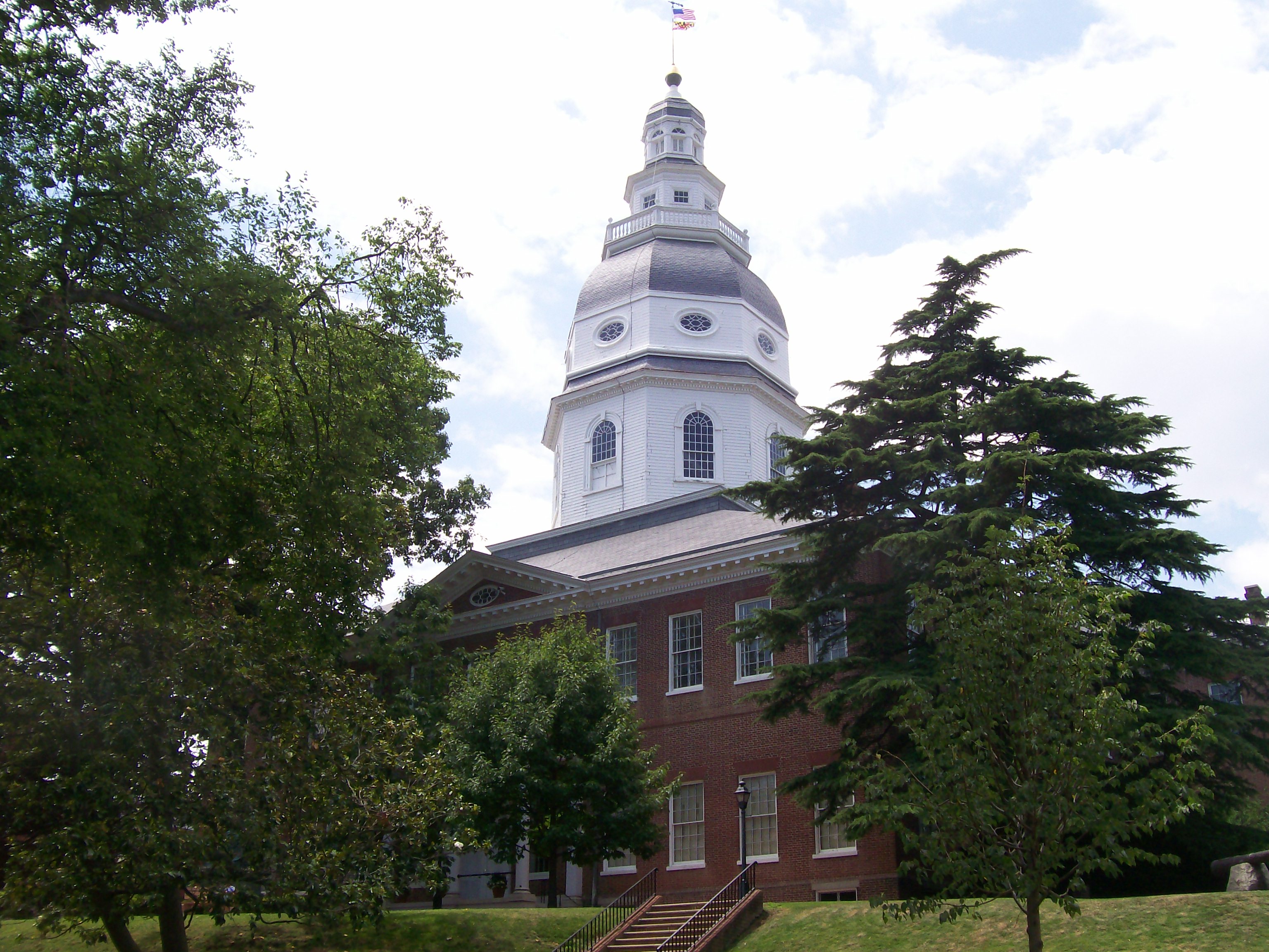
38°52′27″N 76°35′8″W / 38.87417°N 76.58556°WHarwood Earliest portion built in 1771. 54 Maryland Statehouse 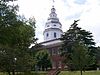
October 15, 1966 State Circle
38°58′43″N 76°29′28″W / 38.97861°N 76.49111°WAnnapolis Oldest state capitol in continuous legislative use, dating to 1772. 55 Mount Airy April 13, 1973 Mount Airy Rd. off Maryland Route 424
38°55′42″N 76°38′11″W / 38.92833°N 76.63639°WDavidsonville Brick Georgian-Federal style dwelling built about 1857. 56 Mt. Moriah African Methodist Episcopal Church 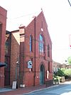
January 25, 1973 84 Franklin St.
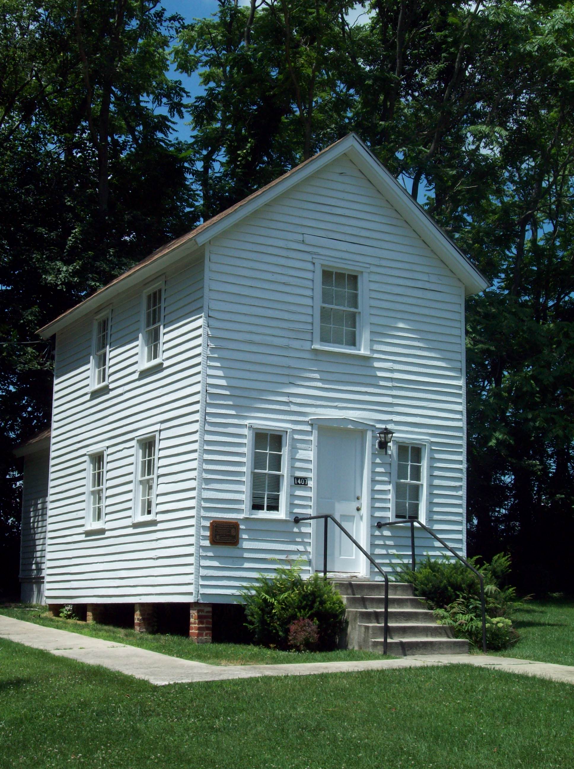
38°58′39″N 76°29′38″W / 38.9775°N 76.49389°WAnnapolis African American church structure; now houses Banneker-Douglass Museum. 57 Mt. Tabor Good Samaritan Lodge No. 59 
July 20, 2001 1407 St. Stephen's Church Rd.
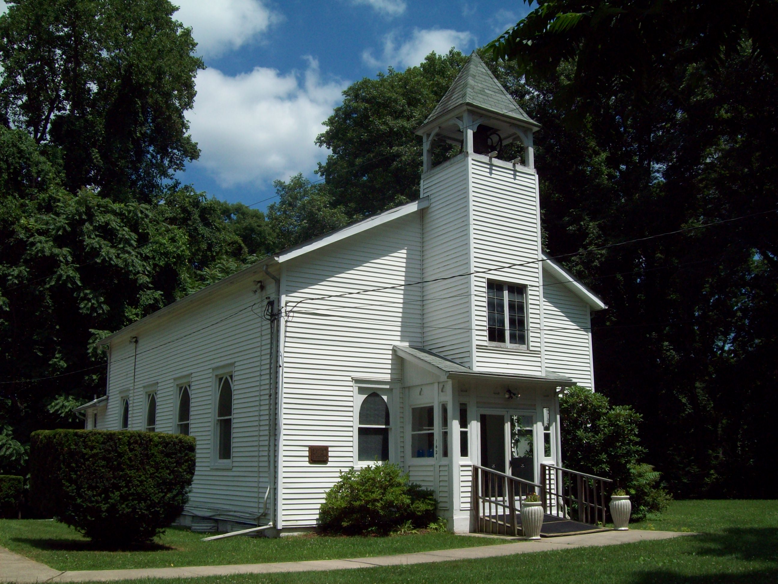
39°0′34″N 76°37′49″W / 39.00944°N 76.63028°WCrownsville African American benevolent society lodge constructed in 1899. 58 Mt. Tabor Methodist Episcopal Church 
April 12, 2001 1421 St. Stephens Church Rd.
39°0′25″N 76°37′50″W / 39.00694°N 76.63056°WCrownsville African American church structure constructed in 1893. 59 CHESAPEAKE BAY BROGAN MUSTANG 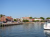
April 2, 1980 Dock St.
38°58′36″N 76°29′11″W / 38.97667°N 76.48639°WAnnapolis Chesapeake Bay brogan built in 1907. After sinking three times, it was reportedly moved to a museum in St. Michael's, MD, where it was reportedly destroyed in a storm. 60 Norman's Retreat 
September 7, 1984 5325 Muddy Creek Rd.
38°48′59.508″N 76°33′19.944″W / 38.81653°N 76.55554°WGalesville Farm complex featuring early-19th century dwelling, and related outbuildings. 61 Oakwood August 2, 2001 4566 Solomons Island Rd.
38°51′25.87″N 76°37′4.11″W / 38.8571861°N 76.6178083°WHarwood Frame tobacco plantation dwelling built in the 1850s. 62 Obligation 
May 15, 1969 1.8 miles (2.9 km) north of Harwood off Maryland Route 2
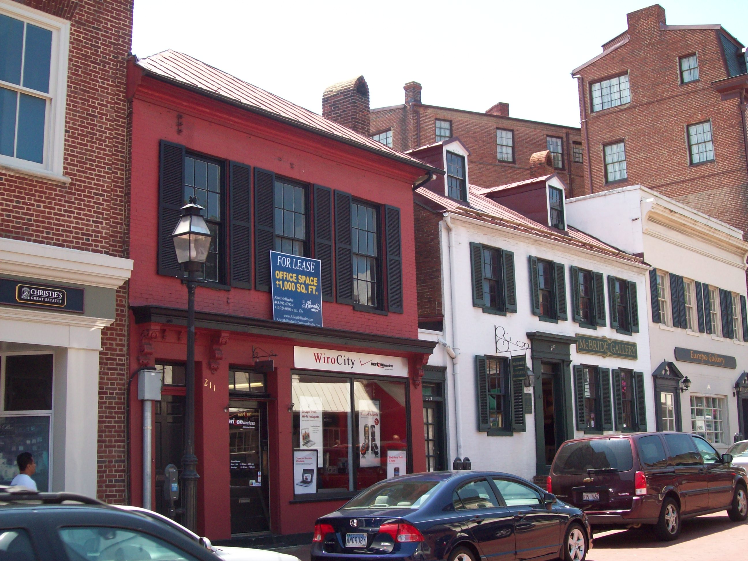
38°53′27″N 76°36′17″W / 38.89083°N 76.60472°WHarwood Dwelling begun in 1743 and later enlarged in 1827. 63 Old City Hall and Engine House 
January 29, 1973 211-213 Main St.
38°58′39″N 76°29′32″W / 38.9775°N 76.49222°WAnnapolis Brick building built 1821-1822 by the City of Annapolis; now commercial space. 64 Old Colony Cove Site November 21, 1978 Address Restricted Rose Haven Shell midden and is 2,000 feet (610 m) long by 300 feet (91 m) wide. 65 OLIVER'S GIFT (log canoe) September 18, 1985 3473 Ranger Rd.
38°57′58″N 76°36′22″W / 38.96611°N 76.60611°WDavidsonville Chesapeake Bay log canoe built in 1947. 66 James Owens Farm September 21, 1987 5682 Greenock Rd.
38°48′7″N 76°39′52″W / 38.80194°N 76.66444°WBristol Large mid-19th century brick late Greek Revival/Italianate dwelling and related outbuildings. 67 Owensville Historic District 
November 8, 2003 Owensville Rd. and Owensville-Sudley Rd.
38°51′0″N 76°35′37″W / 38.85°N 76.59361°WOwensville District consisting of 27 buildings constructed between 1825 and 1875. 68 Paca House and Garden 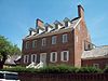
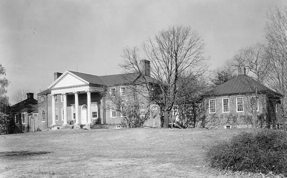
November 11, 1971 186 Prince George St.
38°58′47″N 76°29′18″W / 38.97972°N 76.48833°WAnnapolis Large Georgian style home built between 1763 and 1765; now house museum. 69 Parkhurst 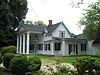
April 13, 2001 1059 Cumberstone Rd.
38°51′23″N 76°32′29″W / 38.85639°N 76.54139°WHarwood Gothic Revival dwelling constructed about 1848-1850, with later alterations. 70 Pinkney-Callahan House November 12, 1971 5 St. John's St.
38°58′49″N 76°29′32″W / 38.98028°N 76.49222°WAnnapolis Name of brick dwelling prior to move in 1972; now known as John Callahan House and located on Conduit Street. 71 Portland Manor 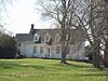
April 18, 1996 5951 Little Rd.
38°47′22″N 76°38′22″W / 38.78944°N 76.63944°WLothian Frame dwelling constructed in 1725; enlarged about 1790 and about 1850. 72 Primrose Hill September 14, 2000 3 Milkshake Ln.
38°57′37″N 76°30′11″W / 38.96028°N 76.50306°WAnnapolis Mid-18th century Georgian brick house; home of American portraitist, John Hesselius. 73 Quarter Place December 18, 2009 216 Marlboro Rd.
38°49′29.68″N 76°37′34.65″W / 38.8249111°N 76.6262917°WLothian 74 Queenstown Rosenwald School 
December 8, 2009 430 Queenstown Rd.
39°8′41.65″N 76°39′8.5″W / 39.1449028°N 76.652361°WSevern 75 Richland 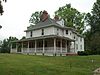
December 26, 2007 195 Harwood Rd.
38°52′15.77″N 76°37′33.79″W / 38.8710472°N 76.6260528°WHarwood Frame, hipped roof dwelling built about 1893. 76 Rising Sun Inn 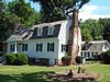
September 12, 1985 1090 Generals' Highway
39°2′54″N 76°36′53″W / 39.04833°N 76.61472°WMillersville Frame dwelling dating to about 1753. 77 Robinson House 
September 30, 2009 102 Evon Ct.
39°5′22.55″N 76°32′55.53″W / 39.0895972°N 76.5487583°WSeverna Park 78 Rosehill 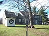
May 29, 1987 2403 Bell Branch Rd.
38°59′0″N 76°39′30″W / 38.983333°N 76.65833°WGambrills Property of 17 acres (69,000 m2) of partially wooded and cleared land on which are located a dwelling and six outbuildings. 79 St. James Church 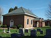
May 7, 1972 3 miles (4.8 km) east of Bristol on Maryland Route 2
38°47′23″N 76°35′55″W / 38.78972°N 76.59861°WBristol Episcopal parish established in 1692; present church completed in 1765. 80 St. Paul's Chapel 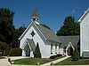
March 20, 1973 Maryland Route 178
39°1′32″N 76°36′1″W / 39.02556°N 76.60028°WCrownsville Frame Episcopal church dating to about 1865. 81 Sandy Point Farmhouse 
February 11, 1972 Sandy Point State Park
39°0′52″N 76°23′58″W / 39.01444°N 76.39944°WSandy Point Five part brick house constructed about 1815. 82 Sandy Point Shoal Light Station 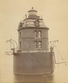
December 2, 2002 Approximately 0.5 miles (0.80 km) off of Sandy Point
39°0′57″N 76°23′6″W / 39.01583°N 76.385°WSkidmore Lighthouse on a caisson foundation erected in 1883; in 2006 it was sold at auction. 83 Lula G. Scott Community Center 
December 18, 2009 6243 Shady Side Rd.
38°50′8″N 76°30′49″W / 38.83556°N 76.51361°WShady Side 84 Upton Scott House 
June 5, 1975 4 Shipwright St.
38°58′30″N 76°29′26″W / 38.975°N 76.49056°WAnnapolis Georgian style brick dwelling built about 1762. 85 Skipworth's Addition December 22, 2008 Address Restricted Harwood Site of the 1664 patent "The Addition," which was issued in December 1662 to George Skipworth; part of the Multiple Property Submission for Quaker Sites in the West River Meeting, Anne Arundel County, Maryland c. 1650-1785. 86 South River Club 
May 15, 1969 West of South River on South River Club Rd.
38°54′21″N 76°33′51″W / 38.90583°N 76.56417°WSouth River Structure built in 1742; home to the oldest continuously operating social club in America. 87 Stanton Center 
December 1, 1983 92 W. Washington St.
38°58′48″N 76°29′47″W / 38.98°N 76.49639°WAnnapolis Former school for African Americans built in 1893; now community center. 88 Peggy Stewart House 
November 7, 1973 207 Hanover St.
38°58′52″N 76°29′14″W / 38.98111°N 76.48722°WAnnapolis Georgian style house built between 1761 and 1764. 89 Sudley 
June 18, 1973 North of Deale off Maryland Route 468 on Old Sudley Rd.
38°49′15″N 76°34′18″W / 38.82083°N 76.57167°WDeale Frame dwelling originally built as grand hall-chamber style of the 1720-1730 period. 90 Summer Hill July 25, 1974 East of Davidsonville off Maryland Route 214
38°55′15″N 76°36′25″W / 38.92083°N 76.60694°WDavidsonville Frame farmhouse of the mid 19th century. 91 Sunnyfields 
August 11, 1983 825 Hammonds Lane
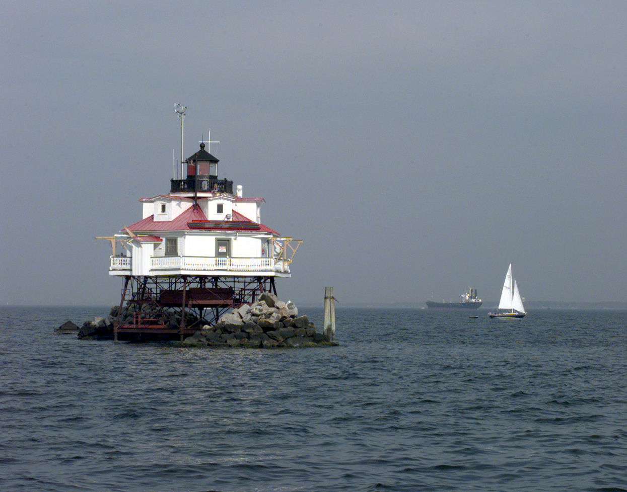
39°12′32″N 76°38′0″W / 39.20889°N 76.633333°WLinthicum Brick and frame house with sections built as early as 1785. 92 Thomas Point Shoals Light Station 
February 20, 1975 Kent Island in Chesapeake Bay
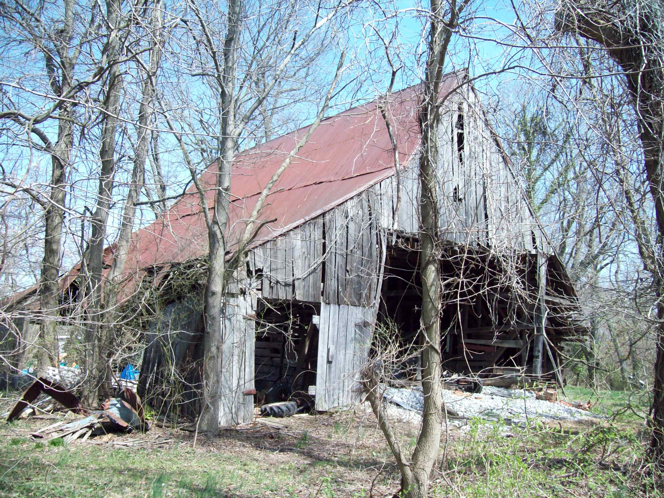
38°53′55″N 76°26′10″W / 38.89861°N 76.43611°WAnnapolis Lighthouse built in 1873; not automated until 1986. 93 Tracy's Landing Tobacco House No. 2 
November 30, 1982 Off Maryland Route 2
38°46′55″N 76°35′29″W / 38.78194°N 76.59139°WTracy's Landing Tobacco barn built in 1805. 94 Tulip Hill 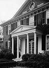
April 15, 1970 4621 Muddy Creek Rd.
38°51′3″N 76°33′2″W / 38.85083°N 76.55056°WGalesville Plantation house built between 1755 and 1756 95 Turkey Hill 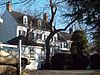
July 24, 1979 106 W. Maple Rd.
39°12′21″N 76°39′17″W / 39.20583°N 76.65472°WLinthicum Frame and field stone dwelling built about 1825. 96 Twin Oaks 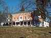
March 21, 1986 5910 Oak Twin Ct.
39°12′36″N 76°39′10″W / 39.21°N 76.65278°WLinthicum Brick Greek Revival influenced dwelling constructed in 1857. 97 Universal Lodge No. 14 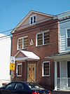
November 26, 2008 64 Clay St.
38°58′46.812″N 76°29′49.308″W / 38.97967°N 76.49703°WAnnapolis Built c. 1880, purchased in the 1940s by an African American Masonic lodge (which was founded in 1865 by a group of African American civilian employees of the U.S. Naval Academy), and renovated for use as a lodge meeting hall. 98 U.S. Coast Guard Yard Curtis Bay 
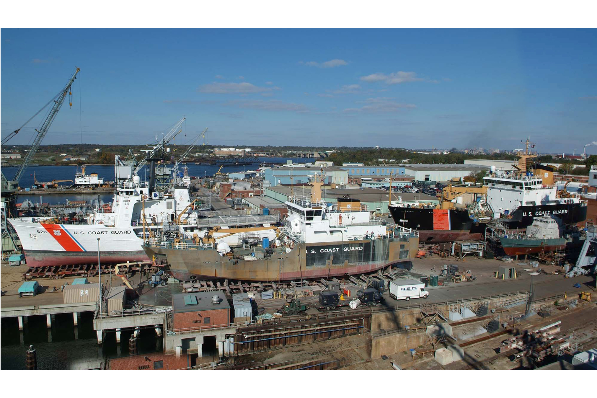
August 5, 1983 Off Maryland Route 173
39°11′59″N 76°34′2″W / 39.19972°N 76.56722°WGlen Burnie Shipyard located on Curtis Bay; it is the Coast Guard's sole shipbuilding and major repair facility. 99 U.S. Naval Academy 
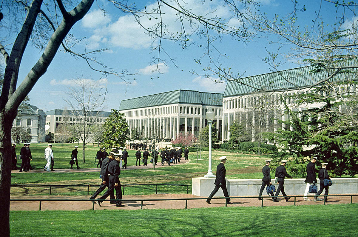
October 15, 1966 Maryland Ave. and Hanover St.
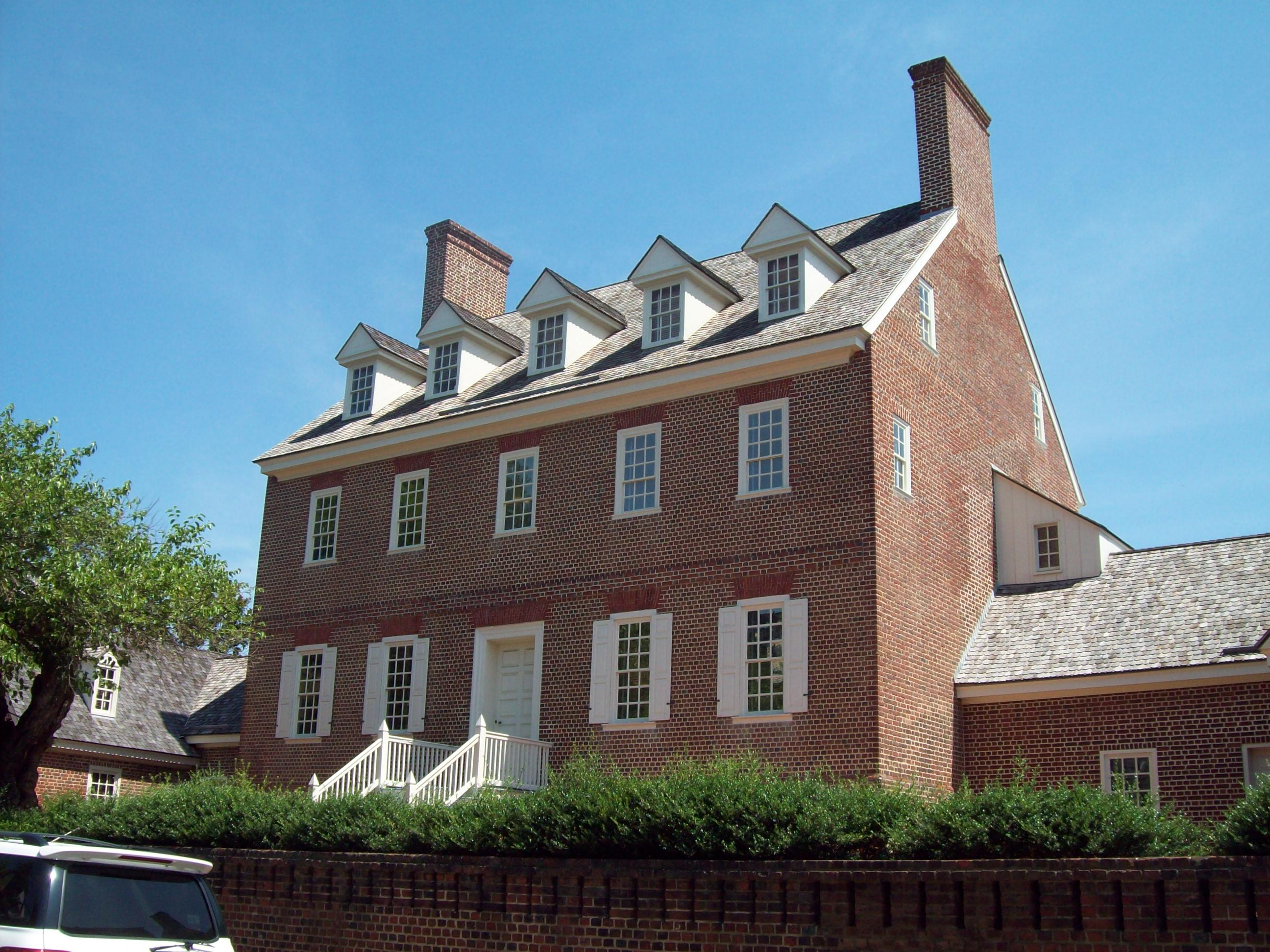
38°59′2″N 76°29′14″W / 38.98389°N 76.48722°WAnnapolis Founded as the Naval School in 1845 by Secretary of the Navy George Bancroft; located at the former U.S. Army post Fort Severn. 100 Whitehall 
October 15, 1966 Off St. Margaret's Rd.
39°0′15″N 76°25′37″W / 39.00417°N 76.42694°WAnnapolis Brick plantation house built about 1760. 101 Woodwardville Historic District 
November 8, 2003 937 to 987 Patuxent Rd. and 2811 to 2825 5th Ave.
39°3′7″N 76°44′8″W / 39.05194°N 76.73556°WWoodwardville District consisting of 16 historic structures, most of which are located adjacent to Patuxent Road. Formerly listed
Landmark name Image Dates Location City or Town Summary 1 Hammond Manor House listed 1974; delisted October 23, 1978 U.S. Naval Academy dairy off MD 175 Gambrills Burned 2 Marley Neck Rosenwald School 
delisted June 24, 2005 7780 Solley Rd. Glen Burnie See also
- List of National Historic Landmarks in Maryland
- National Register of Historic Places listings in Maryland
References
- ^ The latitude and longitude information provided in this table was derived originally from the National Register Information System, which has been found to be fairly accurate for about 99% of listings. For about 1% of NRIS original coordinates, experience has shown that one or both coordinates are typos or otherwise extremely far off; some corrections may have been made. A more subtle problem causes many locations to be off by up to 150 yards, depending on location in the country: most NRIS coordinates were derived from tracing out latitude and longitudes off of USGS topographical quadrant maps created under the North American Datum of 1927, which differs from the current, highly accurate WGS84 GPS system used by Google maps. Chicago is about right, but NRIS longitudes in Washington are higher by about 4.5 seconds, and are lower by about 2.0 seconds in Maine. Latitudes differ by about 1.0 second in Florida. Some locations in this table may have been corrected to current GPS standards.
- ^ "National Register of Historic Places: Weekly List Actions". National Park Service, United States Department of the Interior. Retrieved on November 10, 2011.
- ^ Numbers represent an ordering by significant words. Various colorings, defined here, differentiate National Historic Landmark sites and National Register of Historic Places Districts from other NRHP buildings, structures, sites or objects.
- ^ "National Register Information System". National Register of Historic Places. National Park Service. 2008-04-24. http://nrhp.focus.nps.gov/natreg/docs/All_Data.html.
U.S. National Register of Historic Places in Maryland Lists by county Allegany • Anne Arundel • Baltimore County • Calvert • Caroline • Carroll • Cecil • Charles • Dorchester • Frederick • Garrett • Harford • Howard • Kent • Montgomery • Prince George's • Queen Anne's • Somerset • St. Mary's • Talbot • Washington • Wicomico • Worcester

Lists by city Other lists Municipalities and communities of Anne Arundel County, Maryland City 
Town CDPs Arden-on-the-Severn | Arnold | Brooklyn Park | Cape St. Claire | Crofton | Crownsville | Deale | Ferndale | Fort Meade | Glen Burnie | Green Haven | Herald Harbor | Hillsmere Shores | Jessup‡ | Lake Shore | Linthicum | Londontowne | Maryland City | Mayo | Naval Academy | Odenton | Parole | Pasadena | Pumphrey | Riva | Riviera Beach | Selby-on-the-Bay | Severn | Severna Park | Shady Side | South Gate
Other
communitiesArundel on the Bay | Beverly Beach | Bristol | Churchton | Davidsonville | Fairhaven | Fairview | Franklin Manor-on-the-Bay | Friendship | Gambrills | Galesville | Germantown | Gibson Island | Hanover | Harmans | Harundale | Harwood | Iglehart | Jacobsville | Jennings | Lothian | Millersville | Orchard Beach | Owensville | Piney Orchard | Riverdale | Rose Haven | Russett | Saunders Point | Seven Oaks | Sherwood Forest | Skidmore | South River | Sudley | Tall Timbers | Tracys Landing | West River | Winchester-on-the-Severn | Woodland Beach | Woodwardville
Footnotes ‡This populated place also has portions in an adjacent county or counties
Categories:- National Register of Historic Places in Maryland by county
- Anne Arundel County, Maryland
-


Wikimedia Foundation. 2010.