- National Register of Historic Places listings in North and Northwest Baltimore
-
National Register of Historic Places listings in the city of Baltimore, Maryland
The locations of the National Register properties and districts listed below (at least for all showing latitude and longitude coordinates below) may be seen in a Google map by clicking on "Map of all coordinates".[1]
This list covers some of the properties in the independent city of Baltimore, but not those in the county of Baltimore surrounding the city. The county actually does not include the city; the city is an independent county equivalent.
-
- This National Park Service list is complete through NPS recent listings posted November 10, 2011.[2]
Main:List of RHPs in Baltimore
Current listings
[3] Landmark name Image Date listed Location District[4] Summary 1 Louisa May Alcott School March 29, 1990 2702 Keyworth Ave.
39°19′58″N 76°39′49″W / 39.332778°N 76.663611°WNorthwest 2 American Ice Company Baltimore Plant No. 2 December 27, 2002 330 W. 23rd St.
39°18′55″N 76°37′19″W / 39.315278°N 76.621944°WNorth 3 Brick Hill July 1, 1988 Seneca St., Oakington St., and Parkden Ave.
39°19′49″N 76°38′38″W / 39.330278°N 76.643889°WNorth 4 Cedar Grove 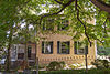
November 15, 1996 301 Kendall Rd.
39°20′43″N 76°37′46″W / 39.345278°N 76.629444°WNorth 5 Cedarcroft Historic District 
December 24, 2003 Bounded by Gittings Ave., York Rd., E. Lake Ave., and Bellona Ave.
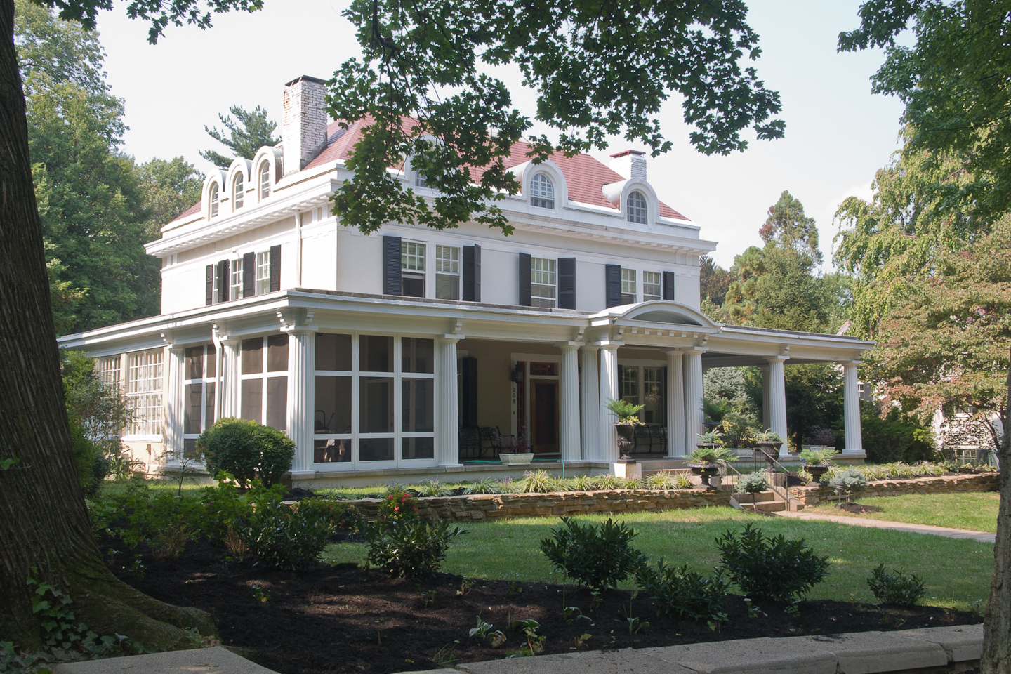
39°22′17″N 76°36′52″W / 39.371389°N 76.614444°WNorth 6 Charlcote House October 17, 1988 15 Charlcote Pl.
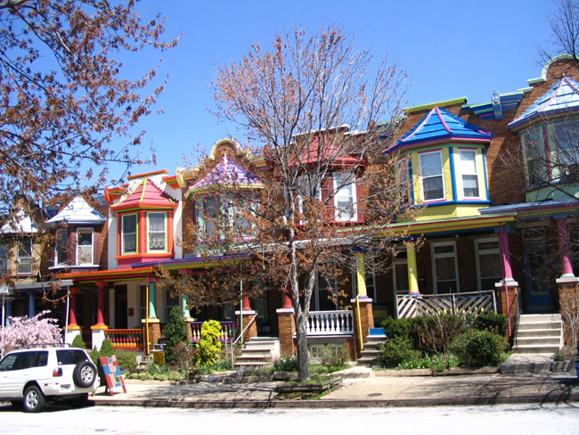
39°20′37″N 76°37′08″W / 39.343611°N 76.618889°WNorth 7 Charles Village-Abell Historic District 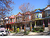
December 15, 1983 Roughly bounded by University Parkway, Guilford Ave., and 25th, Mace, Charles, and Barclay Sts.
39°19′27″N 76°36′55″W / 39.324167°N 76.615278°WNorth See also Charles Village and Abell 8 Cylburn House and Park District May 4, 1972 4915 Green Spring Ave.
39°21′09″N 76°39′10″W / 39.3525°N 76.652778°WNorth 9 Dickeyville Historic District July 12, 1972 Both sides of Forest Park Ave. in Gwynn's Falls area
39°19′00″N 76°42′18″W / 39.316667°N 76.705°WNorthwest 10 Druid Hill Park Historic District May 22, 1973 Druid Hill Park
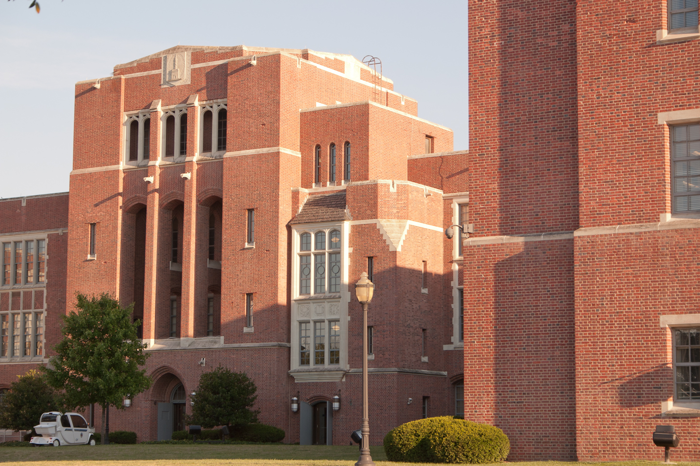
39°19′23″N 76°38′41″W / 39.323056°N 76.644722°WNorth 11 Eastern High School 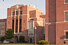
August 16, 2000 101 E. 33rd St.
39°19′40″N 76°36′08″W / 39.327778°N 76.602222°WNorth 12 Ednor Gardens Historic District March 30, 2004 Roughly bounded by Ellerslie Ave., 36th St., The Alameda, Andover Rd. and Chestnut Hill Ave.
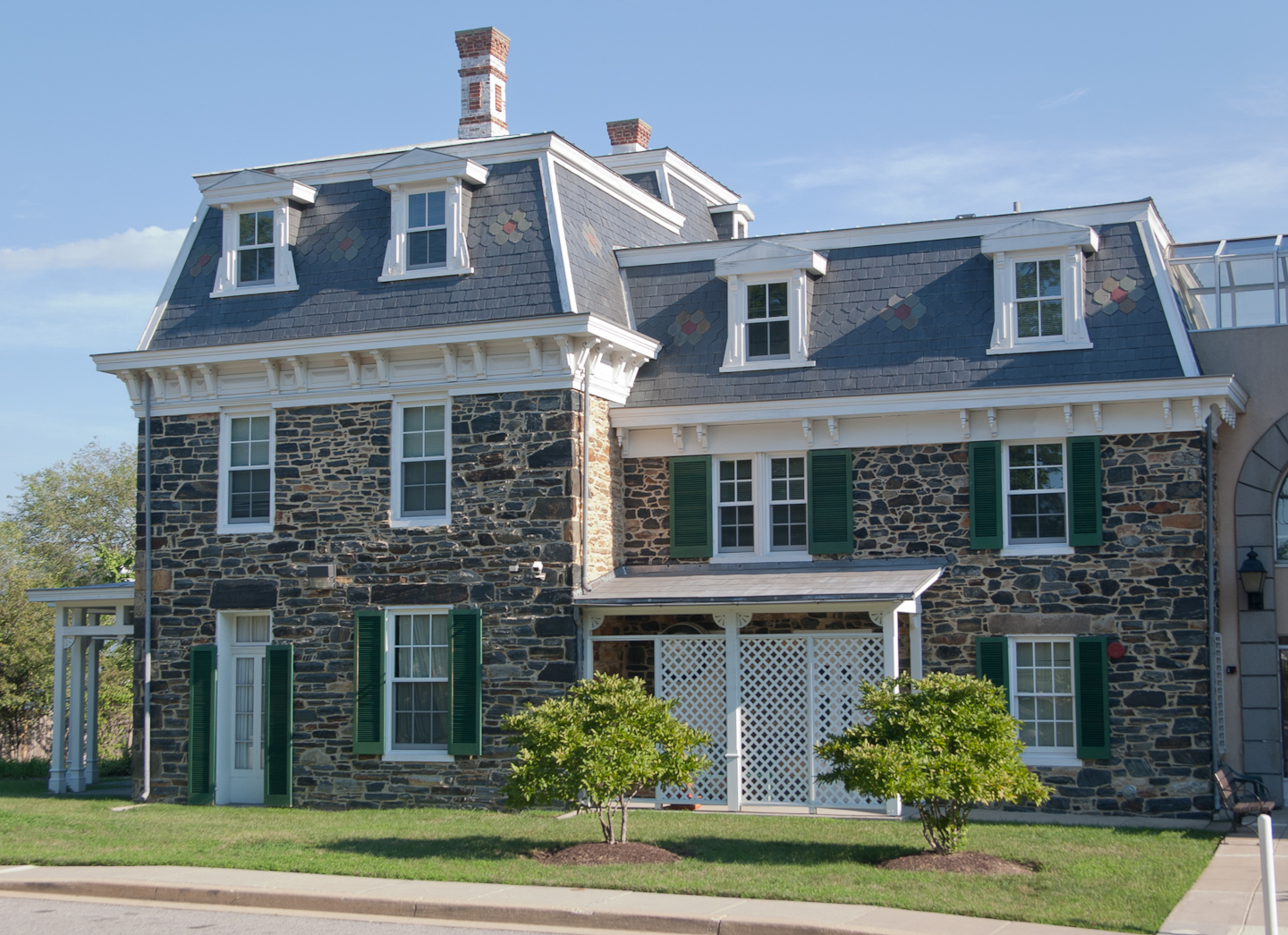
39°20′09″N 76°36′01″W / 39.335833°N 76.600278°WNorth 13 Evergreen House 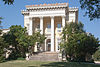
January 17, 1983 4545 N. Charles St.
39°20′54″N 76°37′16″W / 39.348333°N 76.621111°WNorth 14 Evergreen on the Falls July 30, 1975 3300 Falls Rd.
39°19′37″N 76°38′06″W / 39.326944°N 76.635°WNorth 15 First Church of Christ, Scientist 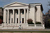
December 27, 1982 102 W. University Parkway
39°20′06″N 76°37′16″W / 39.335°N 76.621111°WNorth 16 Gallagher Mansion and Outbuilding 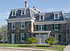
September 15, 1983 431-435 Notre Dame Lane
39°21′05″N 76°36′39″W / 39.351389°N 76.610833°WNorth 17 Grace-Hampden Methodist Episcopal Church August 2, 2001 1014 W. 36th St.
39°19′51″N 76°38′12″W / 39.330833°N 76.636667°WNorth 18 Greater Homeland Historic District December 28, 2001 Roughly bounded by Charles St. Homeland Ave., York Rd., and Melrose Ave.
39°21′34″N 76°37′08″W / 39.359444°N 76.618889°WNorth 19 Guilford Historic District July 19, 2001 Roughly bounded by N. Charles St., Warrenton Rd., Linkwood Rd., Cold Spring Ln., York Rd., Southway, University Parkway, and Bishops Rd.
39°20′31″N 76°37′00″W / 39.341944°N 76.616667°WNorth 20 Hampden Historic District December 29, 2004 Roughly bounded by Jones Falls, W. 40th St. and Wyman Park
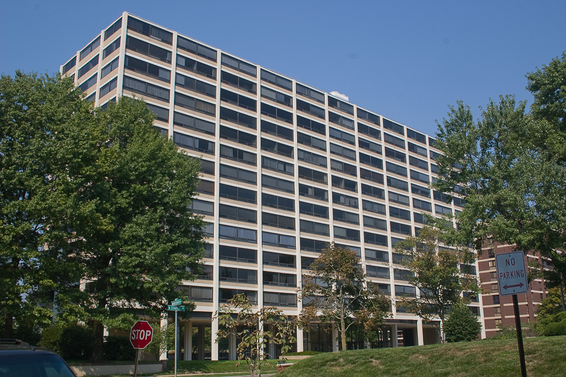
39°19′57″N 76°37′57″W / 39.3325°N 76.6325°WNorth 21 Highfield House 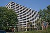
September 12, 2007 4000 N. Charles St.
39°20′18″N 76°37′08″W / 39.338333°N 76.618889°WNorth 22 Hochschild, Kohn Belvedere and Hess Shoes December 18, 2003 5911 York Rd. and 510 Belvedere Ave.
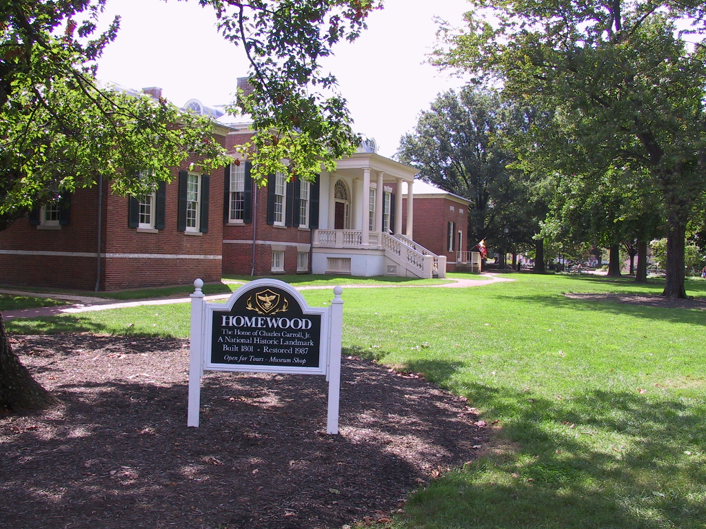
39°21′57″N 76°36′35″W / 39.365833°N 76.609722°WNorth 23 Homewood 
September 10, 1971 N. Charles and 34th Sts.
39°19′46″N 76°37′09″W / 39.329444°N 76.619167°WNorth 24 James E. Hooper House 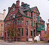
March 15, 1982 100 E. 23rd St.
39°18′56″N 76°36′56″W / 39.315556°N 76.615556°WNorth 25 Howard Park P.S. 218 September 27, 2000 4801 Liberty Heights Ave.
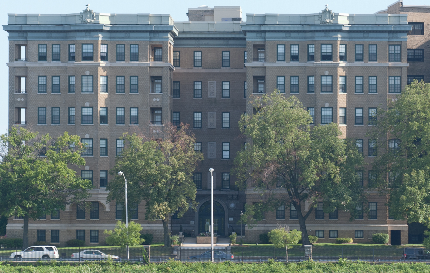
39°19′53″N 76°41′54″W / 39.331389°N 76.698333°WNorthwest 26 Lake Drive Apartments 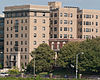
December 28, 2001 903 Druid Park Lake Dr.
39°19′00″N 76°38′13″W / 39.316667°N 76.636944°WNorth 27 Lake-Evesham Historic District December 23, 2003 Roughly bounded by East Lake Ave., York Rd., Evesham Ave., and Bellona Ave.
39°22′06″N 76°36′49″W / 39.368333°N 76.613611°WNorth 28 Lake Roland Historic District October 15, 1992 Robert E. Lee Memorial Park
39°23′13″N 76°38′49″W / 39.386944°N 76.646944°WNorth 29 Lombard Street Bridge September 27, 1972 Over Gwynns Falls off Wetheredsville Rd.
39°19′00″N 76°42′01″W / 39.316667°N 76.700278°WNorthwest 30 Londontown Manufacturing Company, Inc. 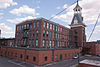
January 12, 1973 3600 Clipper Mill Rd.
39°19′53″N 76°38′34″W / 39.331389°N 76.642778°WNorth 31 Lovely Lane Methodist Church 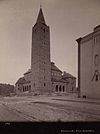
May 25, 1973 2200 St. Paul St.
39°18′52″N 76°36′57″W / 39.314444°N 76.615833°WNorth 32 Elmer V. McCollum House January 7, 1976 2301 Monticello Rd.
39°18′49″N 76°41′06″W / 39.313611°N 76.685°WNorthwest 33 H.F. Miller & Son Tin Box and Can Manufacturing Plant December 10, 2003 2601 N. Howard St.
39°19′10″N 76°37′12″W / 39.319444°N 76.62°WNorth 34 Mount Vernon Mill No. 1 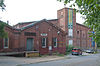
April 19, 2001 3000 Falls Rd.
39°19′23″N 76°37′52″W / 39.323056°N 76.631111°WNorth 35 Mount Washington Mill Historic District May 4, 1990 1405-1407 Forge Ave.; also 1330-1340 Smith Ave.
39°22′05″N 76°39′01″W / 39.36818°N 76.65025°WNorth Smith Ave. addresses represent a boundary increase. 36 Northern District Police Station 
December 28, 2001 3355 Keswick Rd.
39°19′42″N 76°37′39″W / 39.328333°N 76.6275°WNorth 37 Northwood Historic District 
June 15, 1998 Loch Raven Boulevard, The Almeda, and Cold Spring Ln.
39°20′26″N 76°35′48″W / 39.340556°N 76.596667°WNorth 38 Oakenshawe Historic District 
December 18, 2003 Roughly bounded by York Rd., University Parkway, Calvert St., and Southway
39°19′55″N 76°36′48″W / 39.331944°N 76.613333°WNorth 39 Old Goucher College Buildings August 25, 1978 Roughly bounded by 24th, N. Calvert, and 23rd Sts., and Maryland Ave.
39°18′57″N 76°37′02″W / 39.315833°N 76.617222°WNorth 40 Poole and Hunt Company Buildings 
July 2, 1973 3500 Clipper Rd.
39°19′53″N 76°38′45″W / 39.331389°N 76.645833°WNorth 41 Radnor-Winston Historic District 
December 29, 2003 Roughly bounded by Notre Dame Ln., College of Notre Dame, Radnor Ave. and York Rd.
39°21′04″N 76°36′45″W / 39.351111°N 76.6125°WNorth 42 Riviera Apartments 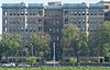
August 12, 1999 901 Druid Park Lake Dr.
39°19′07″N 76°38′11″W / 39.318611°N 76.636389°WNorth 43 Roland Park Historic District 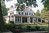
December 23, 1974 Irregular pattern between Belvedere Ave., Falls Rd., 39th St., and Stoney Run
39°20′57″N 76°38′05″W / 39.349167°N 76.634722°WNorth 44 Ruscombe December 20, 2007 4901 Springarden Dr.
39°20′59″N 76°39′30″W / 39.349722°N 76.658333°WNorth 45 St. John's Protestant Episcopal Church March 27, 1974 3009 Greenmount Ave.
39°19′31″N 76°36′32″W / 39.325278°N 76.608889°WNorth 46 Samester Parkway Apartments 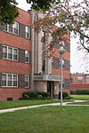
September 9, 1998 7000-7022 Park Heights Ave.
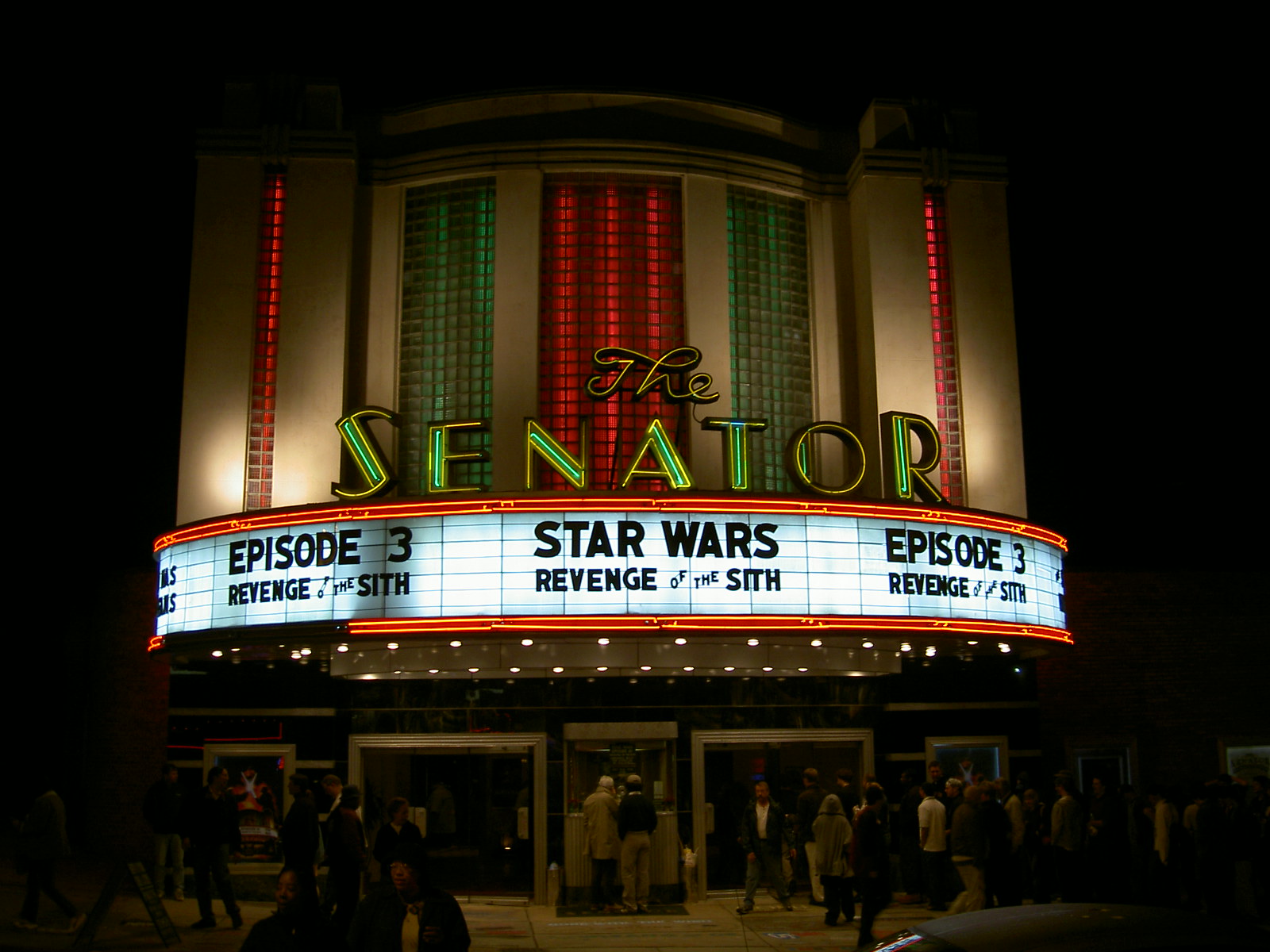
39°21′58″N 76°42′23″W / 39.366111°N 76.706389°WNorthwest 47 Senator Theatre 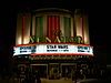
August 24, 1989 5904-5906 York Rd.
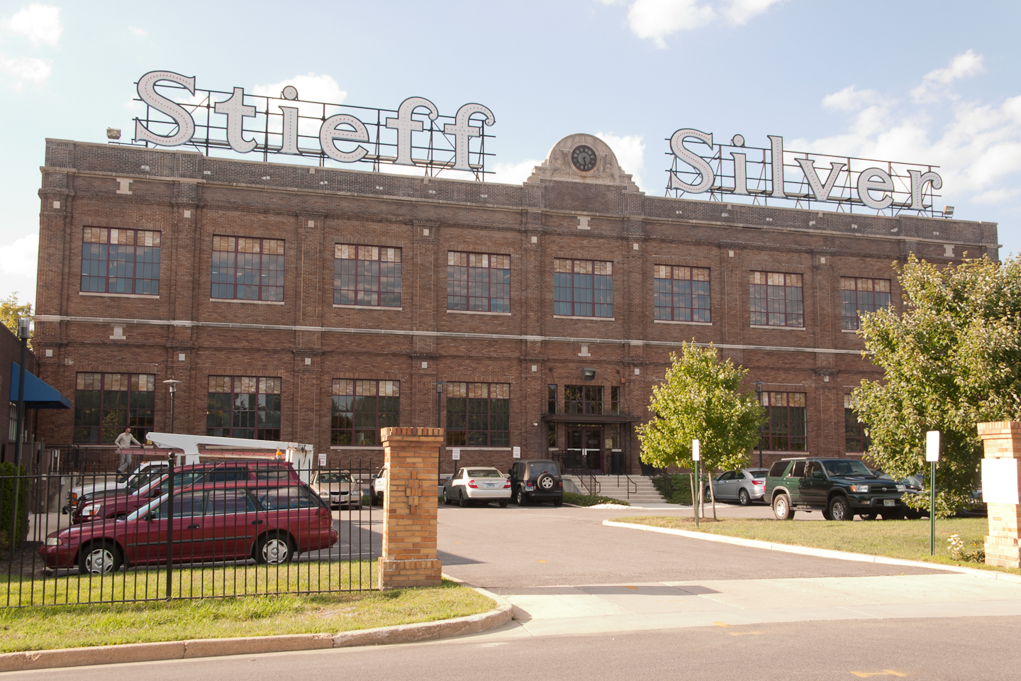
39°21′49″N 76°36′39″W / 39.363611°N 76.610833°WNorth 48 Stieff Silver Company Factory 
June 30, 2000 800 Wyman Park Dr.
39°19′08″N 76°37′42″W / 39.318889°N 76.628333°WNorth 49 Stone Hill Historic District 
December 26, 2001 Pacific, Puritan, Bay, Field, and Worth Sts.
39°19′24″N 76°37′46″W / 39.323333°N 76.629444°WNorth 50 Tivoli 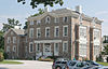
October 9, 1980 1301 Woodbourne Ave.
39°21′12″N 76°35′33″W / 39.353333°N 76.5925°WNorth 51 Tuscany-Canterbury Historic District 
October 28, 2001 Roughly bounded by Charles St., University Parkway, Stony Run, and Warrenton Rd.
39°20′16″N 76°37′18″W / 39.337778°N 76.621667°WNorth 52 Woodberry Historic District 
December 29, 2003 Roughly Clipper Ave, Druid Park Dr., and Girard, Hooper, Keystone, Malden, Parkdale, and Rockrose Aves.
39°20′05″N 76°38′52″W / 39.334722°N 76.647778°WNorth See also
References
- ^ The latitude and longitude information provided in this table was derived originally from the National Register Information System, which has been found to be fairly accurate for about 99% of listings. For about 1% of NRIS original coordinates, experience has shown that one or both coordinates are typos or otherwise extremely far off; some corrections may have been made. A more subtle problem causes many locations to be off by up to 150 yards, depending on location in the country: most NRIS coordinates were derived from tracing out latitude and longitudes off of USGS topographical quadrant maps created under the North American Datum of 1927, which differs from the current, highly accurate WGS84 GPS system used by Google maps. Chicago is about right, but NRIS longitudes in Washington are higher by about 4.5 seconds, and are lower by about 2.0 seconds in Maine. Latitudes differ by about 1.0 second in Florida. Some locations in this table may have been corrected to current GPS standards.
- ^ "National Register of Historic Places: Weekly List Actions". National Park Service, United States Department of the Interior. Retrieved on November 10, 2011.
- ^ Numbers represent an ordering by significant words. Various colorings, defined here, differentiate National Historic Landmark sites and National Register of Historic Places Districts from other NRHP buildings, structures, sites or objects.
- ^ Official Baltimore neighborhoods, defined here
U.S. National Register of Historic Places in Maryland Lists by county Allegany • Anne Arundel • Baltimore County • Calvert • Caroline • Carroll • Cecil • Charles • Dorchester • Frederick • Garrett • Harford • Howard • Kent • Montgomery • Prince George's • Queen Anne's • Somerset • St. Mary's • Talbot • Washington • Wicomico • Worcester

Lists by city Baltimore: (Central · North and Northwest · West and Southwest · East and Northeast · South and Southeast)Other lists Categories:- National Register of Historic Places in Maryland by county
-


Wikimedia Foundation. 2010.