- National Register of Historic Places listings in Prince George's County, Maryland
-
 Location of Prince George's County in Maryland
This is a list of the National Register of Historic Places listings in Prince George's County, Maryland.
This is intended to be a complete list of the properties and districts on the National Register of Historic Places in Prince George's County, Maryland, United States. Latitude and longitude coordinates are provided for many National Register properties and districts; these locations may be seen together in a Google map.[1]
There are 90 properties and districts listed on the National Register in the county, including 6 National Historic Landmarks.
Contents: Counties in Maryland Allegany - Anne Arundel - Baltimore (city) - Baltimore County - Calvert - Caroline - Carroll - Cecil - Charles - Dorchester - Frederick - Garrett - Harford - Howard - Kent - Montgomery - Prince George's - Queen Anne's - Somerset - St. Mary's - Talbot - Washington - Wicomico - Worcester -
- This National Park Service list is complete through NPS recent listings posted November 10, 2011.[2]
Current listings
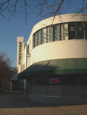
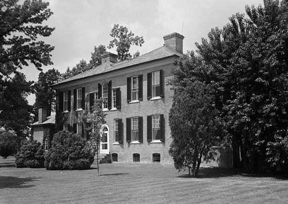
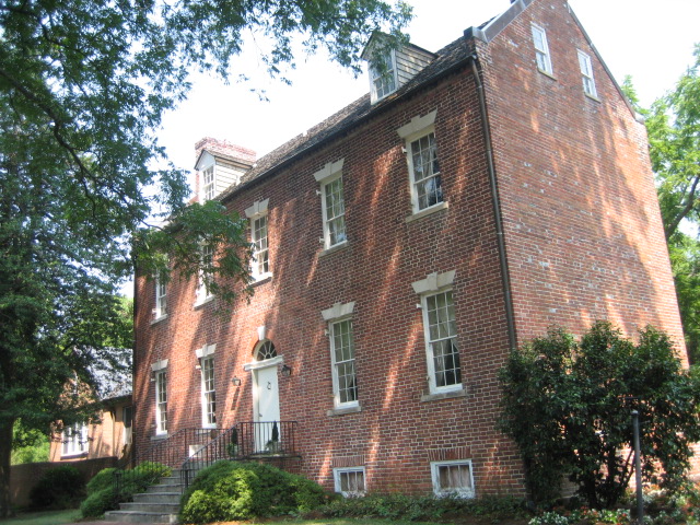
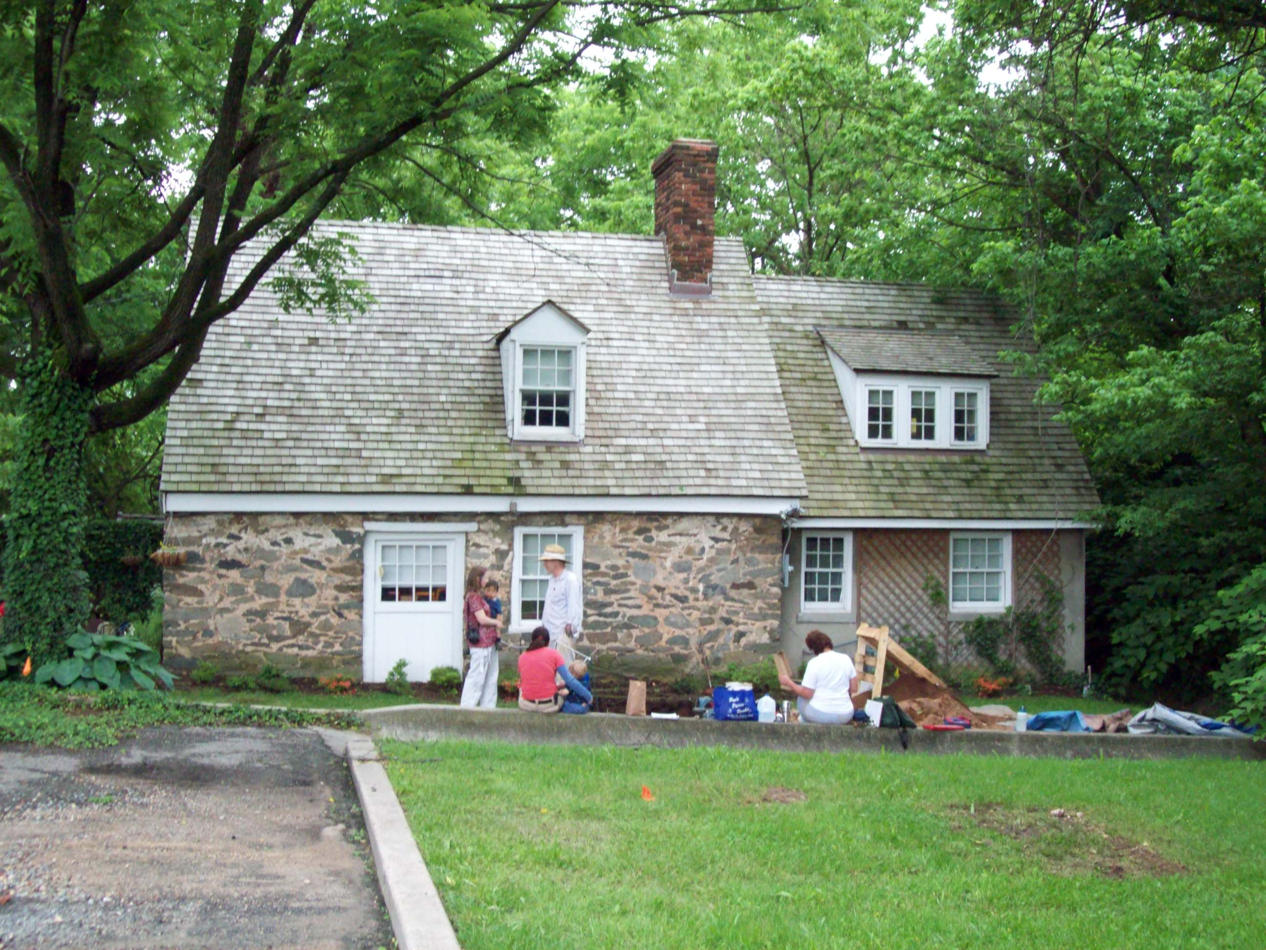
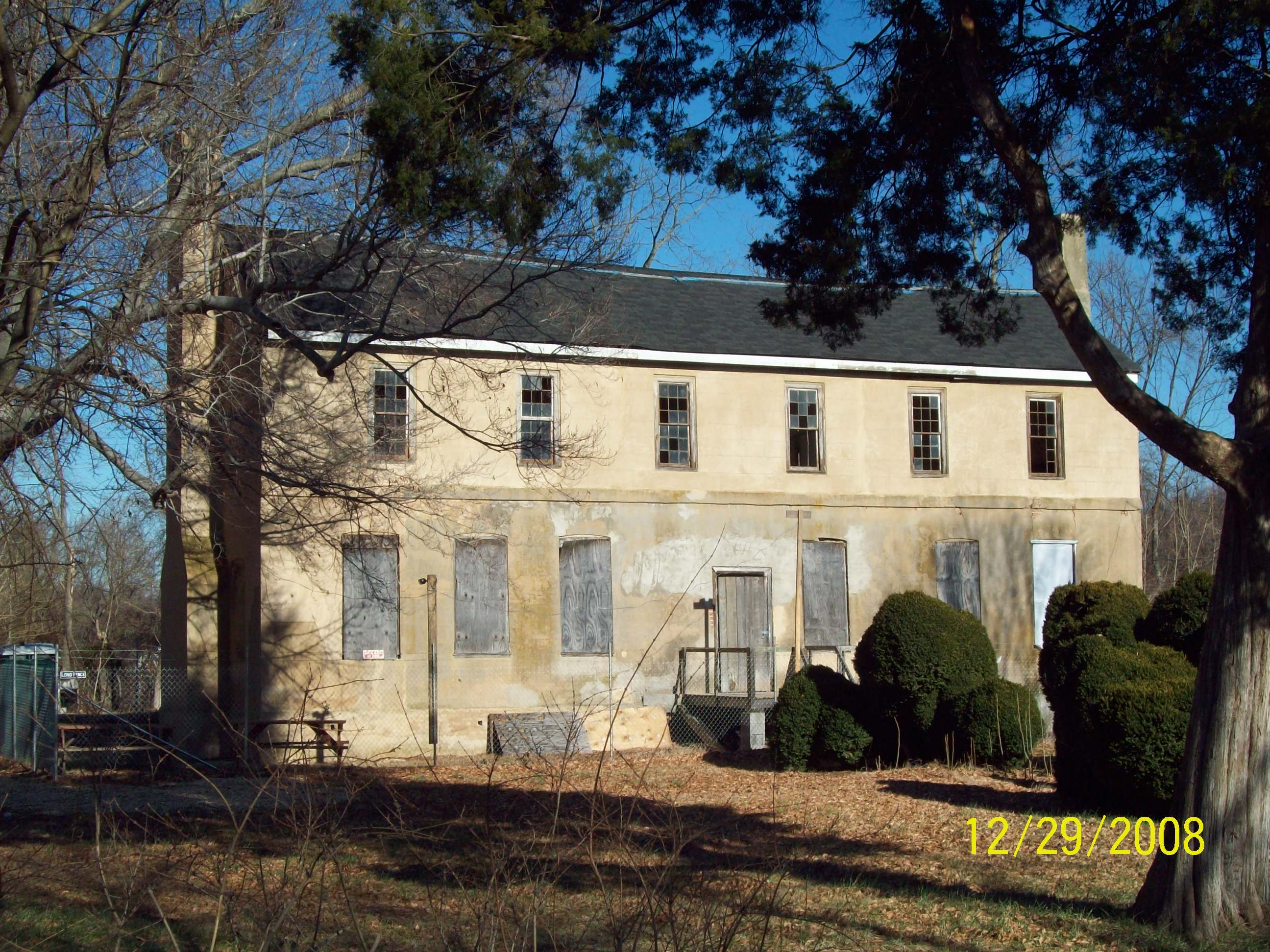
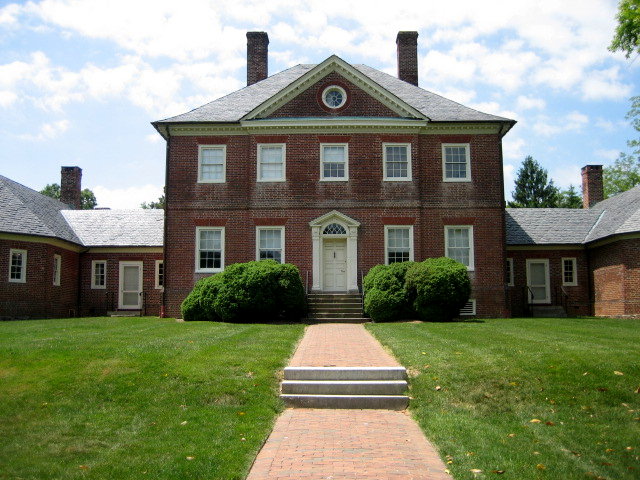
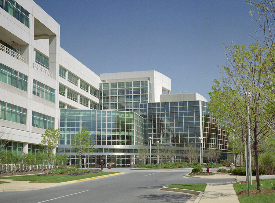
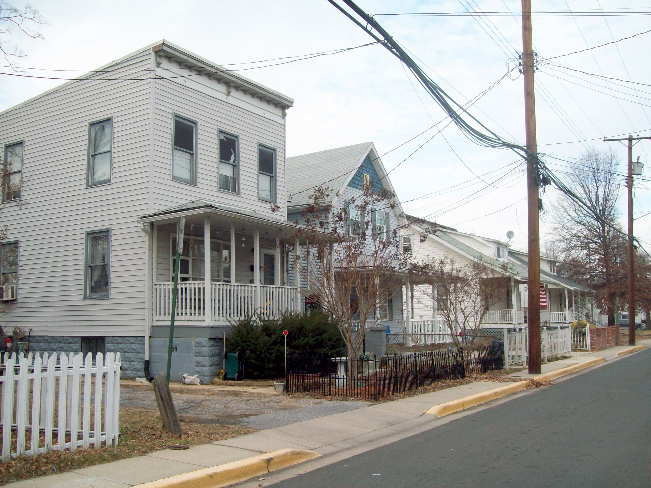
[3] Landmark name [4] Image Date listed Location City or town Summary 1 Abraham Hall 
March 14, 2005 7612 Old Muirkirk Rd.
39°03′40″N 76°52′24″W / 39.061111°N 76.873333°WBeltsville Former lodge hall and school constructed in 1889; part of the Multiple Property Submission for the African-American Historic Resources of Prince George's County, Maryland. 2 Accokeek Creek Site 
October 15, 1966 Address Restricted Accokeek Site of a palisaded village that was occupied from ca. A.D. 1300 to ca. 1630. 3 Ammendale Normal Institute 
April 14, 1975 Junction of Ammendale Rd. and U.S. Route 1
39°03′08″N 76°54′05″W / 39.052222°N 76.901389°WBeltsville Former school and novitiate operated by the Congregation of Christian Brothers. 4 Ash Hill 
September 16, 1977 3308 Rosemary Lane
38°58′49″N 76°57′34″W / 38.980278°N 76.959444°WHyattsville Two-story brick dwelling erected ca. 1840. 5 Ashland 
September 15, 1994 16109 Marlboro Pike
38°49′01″N 76°43′44″W / 38.816944°N 76.728889°WUpper Marlboro Victorian Italianate style home built in 1866-1867. 6 Avondale Mill 
September 20, 1979 21 Avondale St.
39°06′25″N 76°50′46″W / 39.106944°N 76.846111°WLaurel Former site of grist mill complex. 7 Baltimore-Washington Parkway 
May 9, 1991 DC border near the Anacostia R., northeast to just below Jessup Rd. (Maryland Route 175)
39°00′56″N 76°51′46″W / 39.015556°N 76.862778°WCheverly to Baltimore Part of the Multiple Property Submission for the Parkways of the National Capital Region. 8 Beall's Pleasure 
May 4, 1979 Southeast of Landover at 7250 Old Landover Rd.
38°55′51″N 76°53′10″W / 38.930833°N 76.886111°WLandover Federal brick house constructed ca. 1795. 9 Belair 
September 16, 1977 Tulip Grove and Belair Drives
38°57′57″N 76°44′50″W / 38.965833°N 76.747222°WBowie Georgian plantation home of the Provincial Governor of Maryland, Samuel Ogle built in about 1745; now museum. 10 Belair Stables 
May 8, 1973 Belair Dr.
38°57′59″N 76°44′37″W / 38.966389°N 76.743611°WBowie U-shaped sandstone stable was built in 1907; now museum. 11 Bellefields 
September 10, 1971 13104 Duley Station Road
38°44′45″N 76°46′38″W / 38.745833°N 76.777222°WCroom Georgian style manor house constructed about 1720. 12 Bellevue August 21, 1986 200 Manning Rd. E
38°39′41″N 77°00′05″W / 38.661389°N 77.001389°WAccokeek Greek Revival style home constructed about 1840. 13 Bostwick 
August 19, 1975 3901 48th St.
38°56′16″N 76°56′05″W / 38.937778°N 76.934722°WBladensburg Brick ddwelling built in 1746; home of Benjamin Stoddert, first Secretary of the Navy. 14 Bowie Railroad Buildings 
November 4, 1998 8614 Chestnut Ave.
39°00′26″N 76°46′46″W / 39.007222°N 76.779444°WBowie Railroad depot complex for the Pennsylvania Railroad at the junction of the Washington (Amtrak/MARC Train) and the Pope's Creek branches; now Huntington Railroad Museum. 15 Bowieville 
March 14, 1973 522 Church Rd., S.
38°53′07″N 76°45′08″W / 38.885278°N 76.752222°WUpper Marlboro Federal style plantation house built 1819-20. 16 Bowling Heights 
November 30, 1982 3610 Old Crain Highway
38°50′22″N 76°43′31″W / 38.839444°N 76.725278°WUpper Marlboro High Victorian Gothic style dwelling constructed in 1877. 17 Brookefield of the Berrys June 25, 1987 12510 Molly Berry Rd.
38°43′04″N 76°45′13″W / 38.717778°N 76.753611°WCroom Greek Revival style house finished in 1840. 18 Buck House 
April 20, 1978 Main St.
38°49′10″N 76°44′34″W / 38.819444°N 76.742778°WUpper Marlboro Brick dwelling built ca. 1742; now a house museum, known as Darnall's Chance 19 Butler House 
March 14, 2005 6403 Oxon Hill Rd.
38°48′24″N 77°00′13″W / 38.806667°N 77.003611°WOxon Hill Dwelling constructed in 1853; part of the Multiple Property Submission for the African-American Historic Resources of Prince George's County, Maryland 20 Thomas J. Calloway House 
March 14, 2005 9949 Elm St.
38°57′52″N 76°49′11″W / 38.964444°N 76.819722°WLanham Dwelling constructed in 1910; part of the Multiple Property Submission for the African-American Historic Resources of Prince George's County, Maryland 21 Calvert Hills Historic District 
December 23, 2002 Roughly bounded by Calvert Rd., Bowdoin Ave., Erskine Rd., Calvert Park, Albion Rd., and Baltimore Ave.
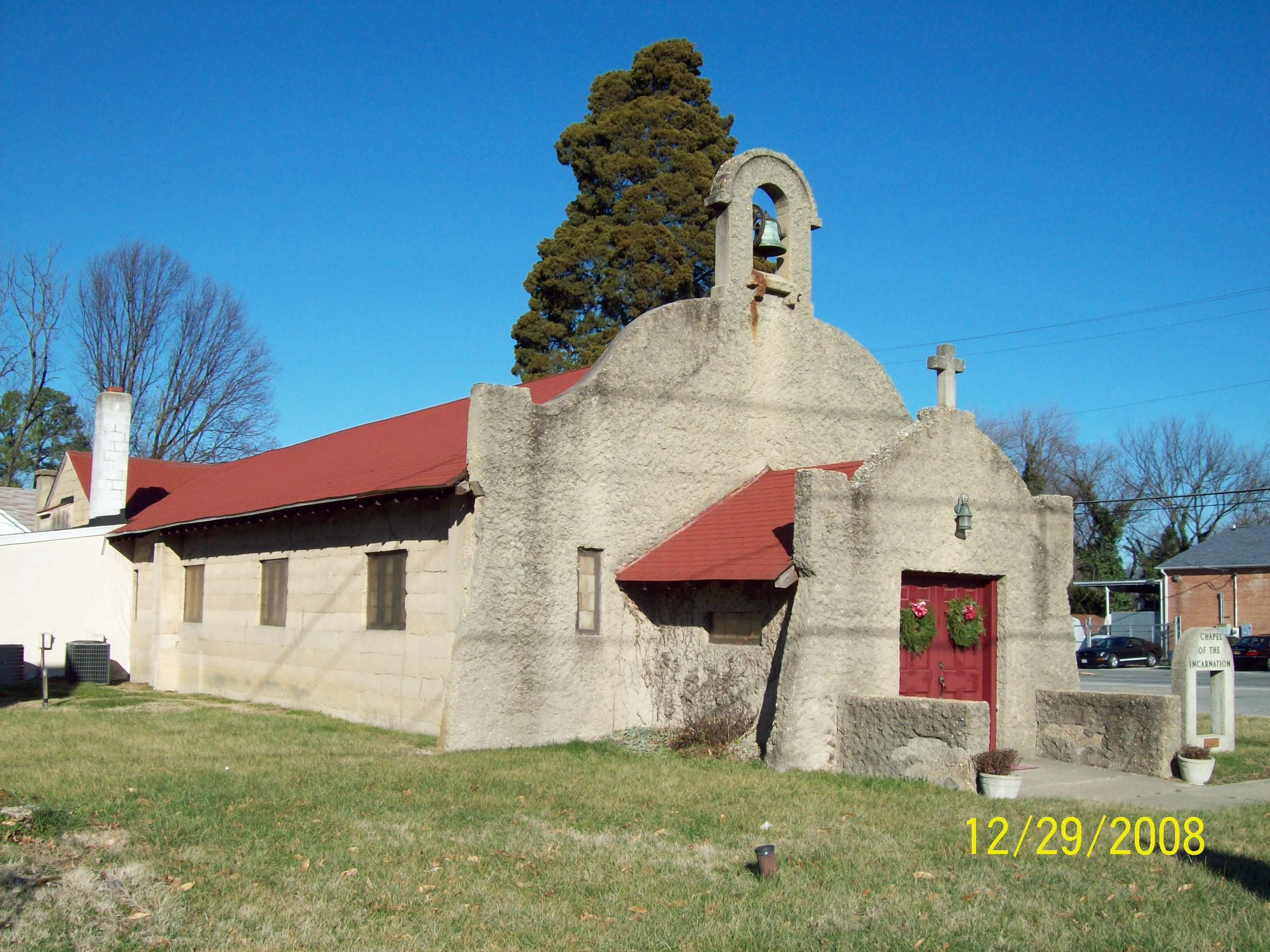
38°58′28″N 76°56′05″W / 38.974444°N 76.934722°WCollege Park Middle-class, single-family residential neighborhood developed in the early part of the 20th century. 22 Chapel of the Incarnation 
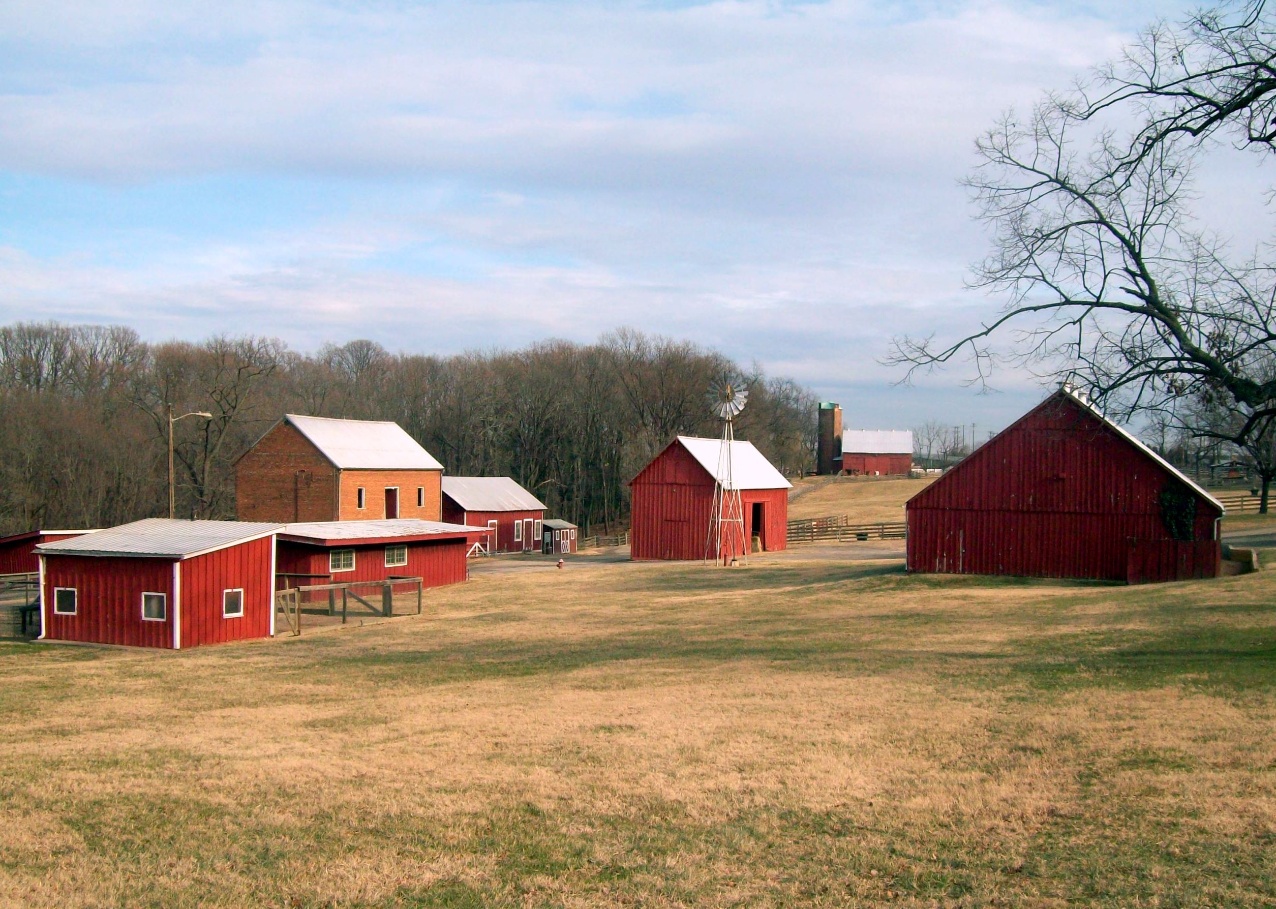
December 13, 2000 14070 Brandywine Rd.
38°41′51″N 76°51′10″W / 38.6975°N 76.852778°WBrandywine Mission style church built 1916-1917. 23 Clagett House at Cool Spring Manor June 3, 2011 17500 Clagett Landing Rd.
38°58′34″N 76°41′47″W / 38.976111°N 76.696389°WUpper Marlboro 24 John W. Coffren House and Store 
June 2, 1987 10007 Croom Rd.
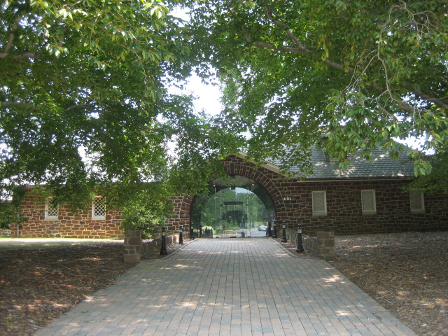
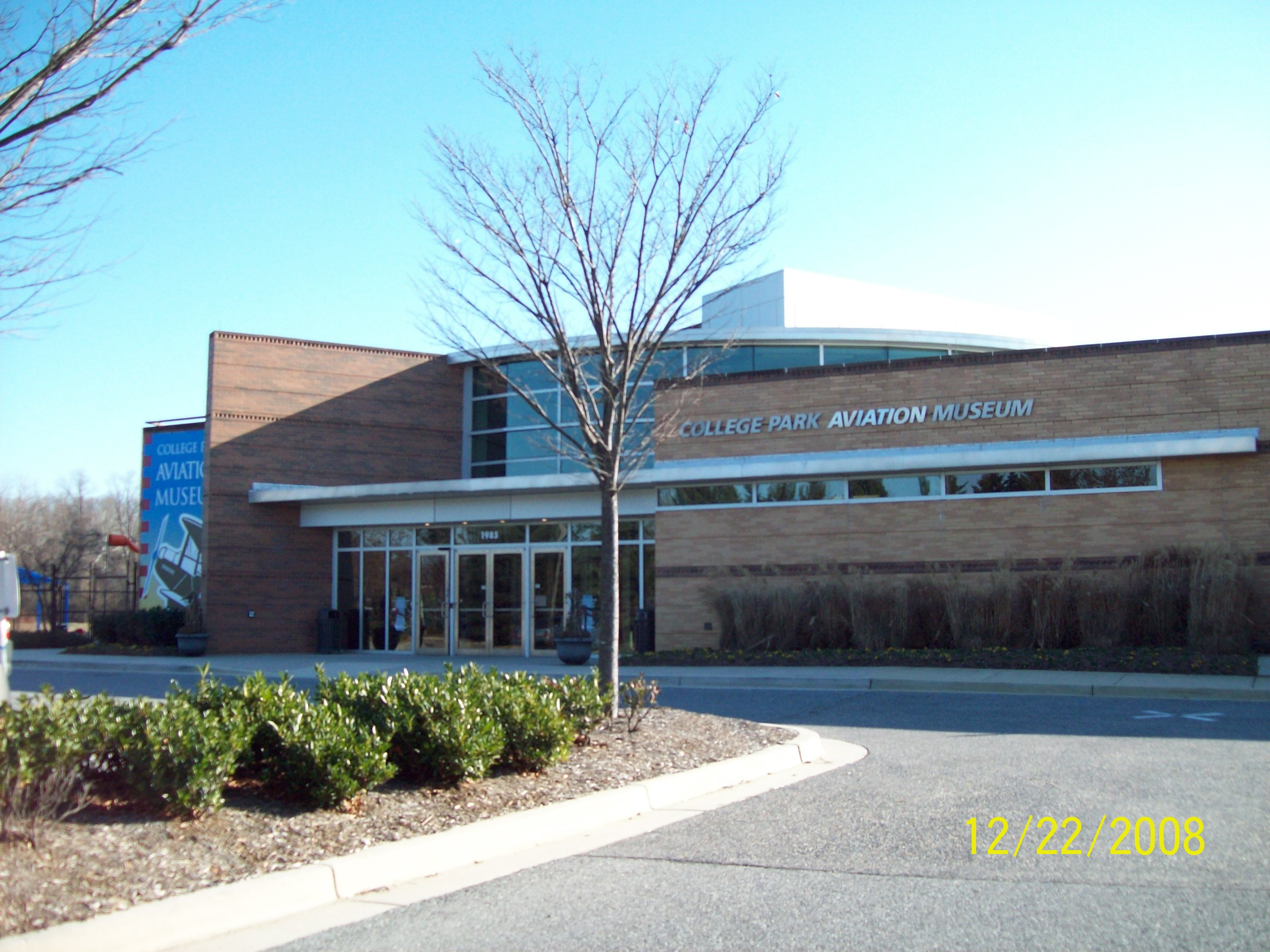
38°45′04″N 76°45′45″W / 38.751111°N 76.7625°WCroom Dwelling built in 1861, and one room store constructed ca. 1853. 25 College Park Airport 
September 23, 1977 East of College Park off Kenilworth Ave.
38°58′50″N 76°55′27″W / 38.980556°N 76.924167°WCollege Park Established in 1909; world's oldest continuously operated airport. 26 Compton Bassett 
March 8, 1983 16508 Marlboro Pike
38°48′55″N 76°43′01″W / 38.815278°N 76.716944°WUpper Marlboro Brick Georgian house built about 1783. 27 Concord 
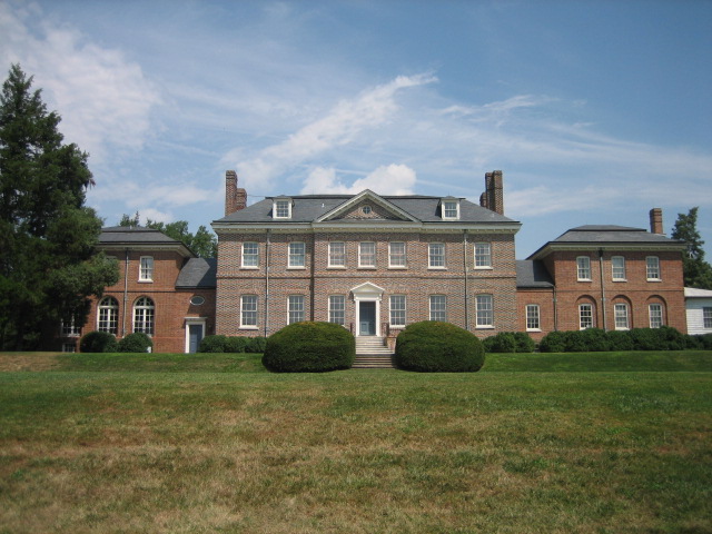
May 12, 1982 8000 Walker Mill Rd.
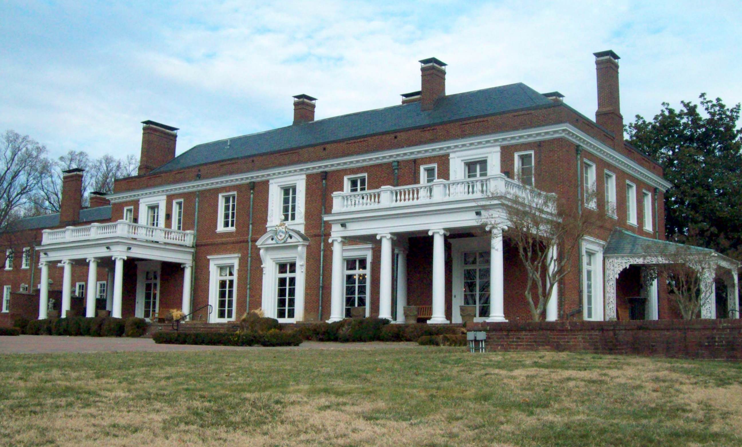
38°52′39″N 76°52′02″W / 38.8775°N 76.867222°WDistrict Heights Greek Revival-influenced dwelling built originally in the 1790s. 28 Content 
September 13, 1978 14518 Church St.
38°48′54″N 76°45′12″W / 38.815°N 76.753333°WUpper Marlboro Frame structure built in three stages; first section constructed in 1787. 29 The Cottage 
July 13, 1989 11904 Old Marlboro Pike
38°49′21″N 76°47′55″W / 38.8225°N 76.798611°WUpper Marlboro Three-part plantation house built in the 1840s with group of domestic outbuildings. 30 William W. Early House 
June 30, 1988 13907 Cherry Tree Crossing Rd.
38°41′53″N 76°50′56″W / 38.698056°N 76.848889°WBrandywine Queen Anne Victorian built in 1907 for railroad manager; privately owned. 31 Fort Washington 
October 15, 1966 Fort Washington Park
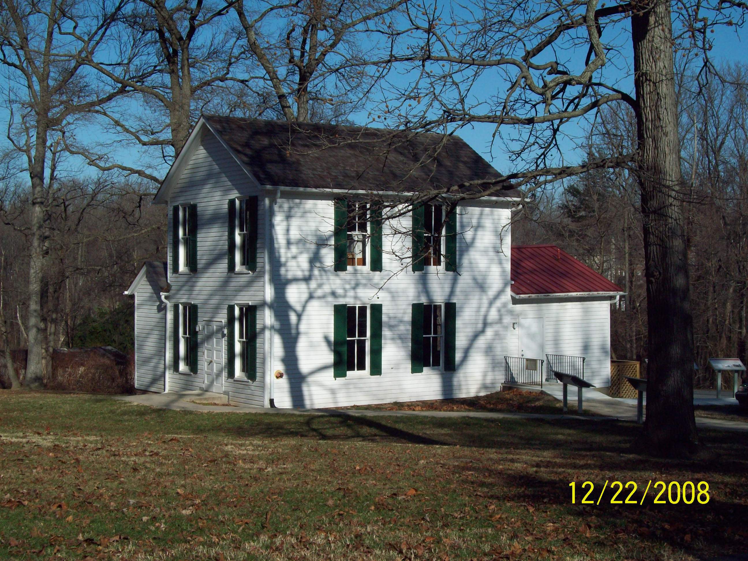
38°42′38″N 77°01′49″W / 38.710556°N 77.030278°WFort Washington Site overlooking the Potomac River, original fort completed in 1809. 32 Don S. S. Goodloe House 
October 13, 1988 13809 Laurel - Bowie Rd.
39°00′32″N 76°46′03″W / 39.008889°N 76.7675°WBowie Colonial Revival style dwelling built 1915–16. 33 Greenbelt Historic District 
November 25, 1980 Off Maryland Route 193
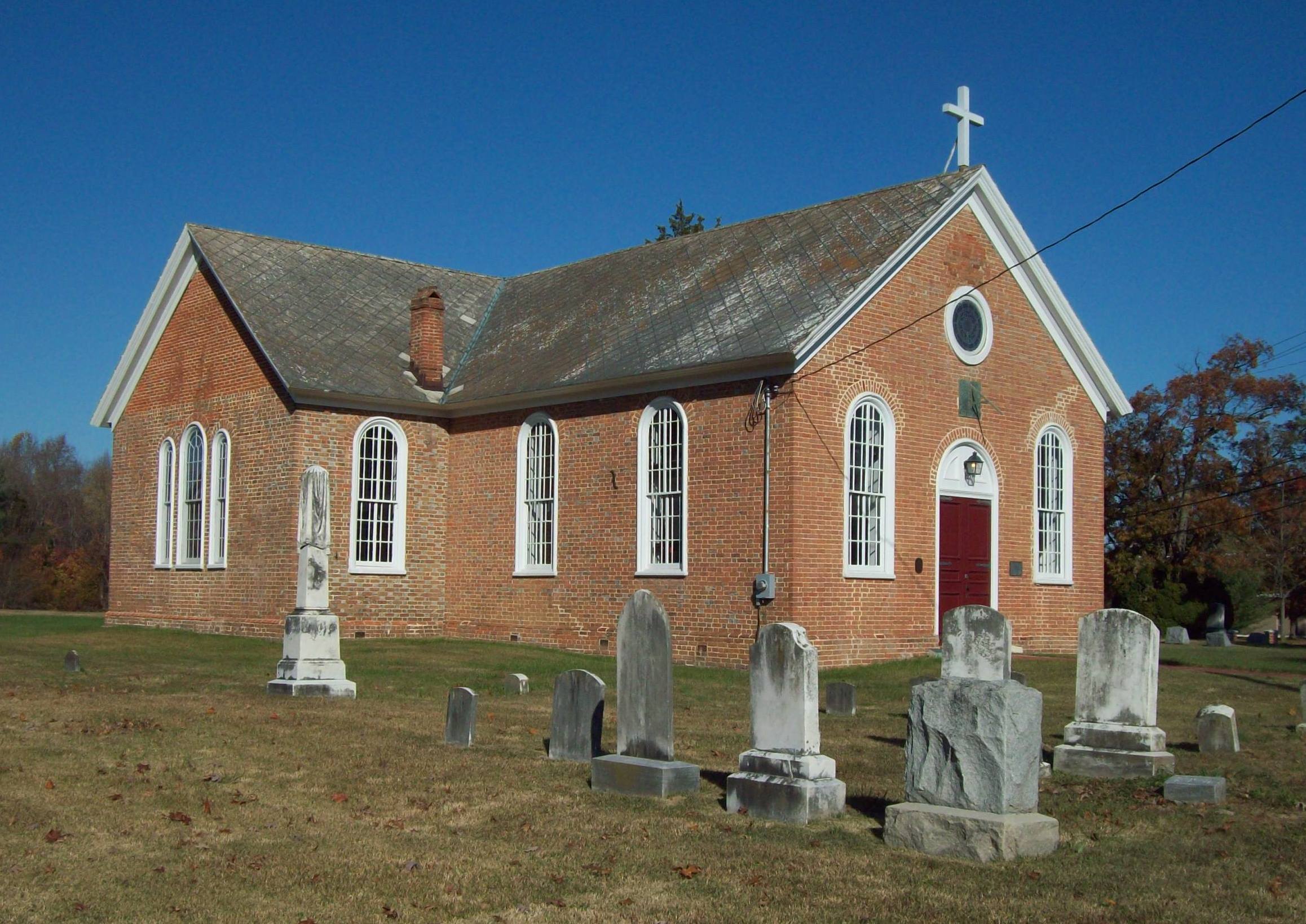
39°00′10″N 76°53′28″W / 39.002778°N 76.891111°WGreenbelt Preserves the center of one of the few examples of the Garden City Movement in the United States. 34 James Hamilton House November 10, 1988 16810 Federal Hill Court
38°54′30″N 76°42′44″W / 38.908333°N 76.712222°WBowie Late Victorian frame dwelling constructed in the mid 1870s. 35 Harmony Hall 
June 6, 1980 10511 Livingston Rd.
38°44′45″N 77°00′11″W / 38.745833°N 77.003056°WOxon Hill Georgian country house built of red brick during the 18th century. 36 Hazelwood 
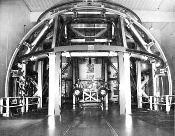
April 1, 1999 18611 Queen Anne Rd.
38°53′42″N 76°40′47″W / 38.895°N 76.679722°WUpper Marlboro Frame dwelling built in three discrete sections over a long period of time; the oldest section built about 1770. 37 William Hilleary House 
July 20, 1978 4703 Annapolis Rd.
38°56′20″N 76°56′16″W / 38.938889°N 76.937778°WBladensburg 18th-century stone, gambrel-roofed house. 38 Hilltop Manor 
December 21, 2007 4100-4112 and 4200-4214 53rd Ave., 4100-4210 53rd Pl., and 5300-5304 Annapolis Rd.
38°56′33″N 76°55′46″W / 38.9425°N 76.929444°WBladensburg Brick garden apartment buildings constructed in 1942 and 1943. 39 His Lordship's Kindness 
April 15, 1970 3.5 miles northwest of Rosaryville off Rosaryville Rd.
38°46′44″N 76°50′34″W / 38.778889°N 76.842778°WRosaryville Georgian mansion, also known as Poplar Hill, built in the 1780s; operated as historic house museum. 40 Hyattsville Armory 
March 27, 1980 5340 Baltimore Ave.
38°57′17″N 76°56′28″W / 38.954722°N 76.941111°WHyattsville Former National Guard armory built in 1918. 41 Hyattsville Historic District 
None Off U.S. Route 1
38°57′08″N 76°56′48″W / 38.952222°N 76.946667°WHyattsville Residential neighborhood that exhibit late-19th and early-20th century design characteristics. 42 Kingston 
July 21, 1978 5415 Old Crain Highway
38°48′52″N 76°45′21″W / 38.814444°N 76.755833°WUpper Marlboro Believed to be the oldest building remaining in the town of Upper Marlboro and may have been built, at least in part, before 1730. 43 Langley Park 
August 29, 2008 8151 15th Avenue
38°59′27″N 76°58′53″W / 38.990833°N 76.981389°WLangley Park Georgian Revival style estate mansion built in 1924. 44 Laurel High School 
June 27, 1979 700 block of Montgomery St.
39°06′25″N 76°51′20″W / 39.106944°N 76.855556°WLaurel Oldest high school in the Prince George's County Public Schools system; founded in 1899. 45 Laurel Railroad Station 
March 30, 1973 E. Main St.
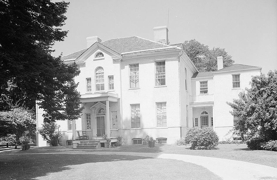
39°06′08″N 76°50′27″W / 39.102222°N 76.840833°WLaurel Passenger rail station originally constructed in 1884, for the Baltimore and Ohio Railroad. 46 Marietta 
July 25, 1994 5626 Bell Station Rd.
38°57′56″N 76°47′57″W / 38.965556°N 76.799167°WGlenn Dale Federal brick house begun about 1812. 47 Market Master's House 
March 29, 1990 4006 48th St.
38°56′21″N 76°56′13″W / 38.939167°N 76.936944°WBladensburg An 18th century vernacular Colonial-era stone dwelling with 20th century additions. 48 Melford 
April 6, 1988 17100 block of Melford Boulevard
38°57′35″N 76°42′34″W / 38.959722°N 76.709444°WBowie Greek Revival style plantation home built in the 1840s. 49 Melwood Park 
October 8, 1976 10908 Old Marlboro Pike
38°48′45″N 76°49′01″W / 38.8125°N 76.816944°WUpper Marlboro Brick dwelling believed to have been built by Ignatius Digges (1707-1785) ca. 1750. 50 Montpelier 
April 17, 1970 2.1 miles east of Laurel on Maryland Route 197
39°03′48″N 76°50′42″W / 39.063333°N 76.845°WLaurel Georgian style home most likely constructed between 1781 and 1785; opened as a public tourist attraction in 1985. 51 Mount Hope 
November 29, 1978 1 Cheverly Circle
38°55′20″N 76°54′47″W / 38.922222°N 76.913056°WCheverly Frame house built in two stages; home of Chverly's founder Robert Marshall. 52 Mount Lubentia 
July 9, 1987 603 Largo Rd.
38°52′55″N 76°48′59″W / 38.881944°N 76.816389°WLargo Federal-style brick house built about 1798. 53 Mount Pleasant November 29, 1972 Mt. Pleasant Rd.
38°50′34″N 76°42′40″W / 38.842778°N 76.711111°WUpper Marlboro Georgian dwelling in brick built about 1750. 54 Mount Rainier Historic District 
September 7, 1990 Roughly bounded by Arundel St., 37th St., Bladensburg Rd., and Eastern Ave.
38°56′21″N 76°57′42″W / 38.939167°N 76.961667°WMount Rainier Community of modestly scaled, detached, single-family, frame houses developed ca. 1900-1940. 55 National Archives Archeological Site 
August 22, 1996 Address Restricted College Park Remains from prehistoric settlements during the Late Archaic period, c. 4000-1500 B.C. 56 North Brentwood Historic District 
November 21, 2003 Roughly bounded by 39th Pl., Allison St., Rhode Island Ave., and Webster St.
38°56′41″N 76°57′08″W / 38.944722°N 76.952222°WNorth Brentwood Earliest incorporated African American community in the county; working-class suburban community developed 1891-1950. 57 Nottingham Site May 12, 1975 Address Restricted Upper Marlboro May correspond to the village of Mattpament depicted on John Smith’s 1608 map. 58 O'Dea House 
June 4, 1987 5804 Ruatan St.
38°59′41″N 76°54′47″W / 38.994722°N 76.913056°WBerwyn Heights Queen Anne-style dwelling built in 1888. 59 Oxon Cove Park 
September 2, 2003 Government Farm Rd.
Oxon Hill Property developed as a plantation, an institutional agricultural complex, and a farm museum. 60 Oxon Hill Manor 
June 9, 1978 6701 Oxon Hill Rd.
38°47′47″N 77°00′19″W / 38.796389°N 77.005278°WOxon Hill neo-Georgian house designed in 1928 for Sumner Welles. 61 Piscataway Park 
October 15, 1966 East of the Potomac River and south of Piscataway Creek
38°41′05″N 77°03′05″W / 38.684722°N 77.051389°WAccokeek Location of Marshall Hall and the National Colonial Farm. 62 Pleasant Hills 
August 6, 1980 7001 Croom Station Rd.
38°47′35″N 76°45′51″W / 38.793056°N 76.764167°WUpper Marlboro Brick dwelling with Greek Revival detailing, constructed ca. 1810. 63 Pleasant Prospect 
April 30, 1976 12806 Woodmore Rd.
38°56′04″N 76°47′00″W / 38.934444°N 76.783333°WMitchellville Brick dwelling built by Isaac Duckett in 1798. 64 Ridgley Methodist Episcopal Church 
March 14, 2005 8900 Central Ave.
38°53′35″N 76°51′09″W / 38.893056°N 76.8525°WLandover One-story frame church constructed in 1921; part of the Multiple Property Submission for the African-American Historic Resources of Prince George's County, Maryland. 65 Riverdale Park Historic District 
December 23, 2002 Roughly bounded by Tuckerman St., Taylor Rd., Oglethorpe St., the B&O railroad tracks, Madison St. and Baltimore Ave.
38°57′59″N 76°56′12″W / 38.966389°N 76.936667°WRiverdale Park Early railroad suburb northeast of Washington, D.C. developed starting in 1889. 66 Riversdale 
April 11, 1973 Riverdale Rd. between 18th and Taylor Sts.
38°57′37″N 76°55′55″W / 38.960278°N 76.931944°WRiverdale Park Five-part, large-scale late Georgian mansion with Federal interior, built between 1801 and 1807. 67 St. Ignatius Church 
June 27, 1974 2317 Brinkley Rd.
38°48′16″N 76°58′01″W / 38.804444°N 76.966944°WOxon Hill Catholic parish church constructed between 1890 and 1891. 68 St. John's Church 
April 8, 1974 9801 Livingston Rd.
38°45′18″N 77°00′04″W / 38.755°N 77.001111°WFort Washington Oldest church site the county dating to 1692; church structure dates to 1767-1768. 69 St. Mary's Beneficial Society Hall 
March 14, 2005 14825 Pratt St.
38°49′11″N 76°44′53″W / 38.819722°N 76.748056°WUpper Marlboro Multi-purpose building constructed in 1892; part of the Multiple Property Submission for the African-American Historic Resources of Prince George's County, Maryland. 70 Saint Mary's Rectory 
September 10, 1987 16305 Saint Mary's Church Rd.
38°35′05″N 76°43′22″W / 38.584722°N 76.722778°WAquasco Frame dwelling built in 1849 and enlarged to twice its size in 1856. 71 St. Matthew's Church 
April 10, 1972 Addison Rd. and 62nd Pl.
38°54′06″N 76°54′34″W / 38.901667°N 76.909444°WSeat Pleasant Brick Episcopal church also known as Addison Chapel. 72 St. Paul's Parish Church 
September 15, 1977 13500 Baden Westwood Road off Maryland Route 381
38°39′40″N 76°46′20″W / 38.661111°N 76.772222°WBrandywine Brick Episcopal church dating to 1733. 73 St. Thomas' Church 
December 13, 2000 14300 St. Thomas Church Rd.
38°44′56″N 76°45′24″W / 38.748889°N 76.756667°WUpper Marlboro Brick Episcopal church constructed between 1742 and 1745. 74 Harry Smith House 
May 4, 1993 4707 Oliver St.
38°57′39″N 76°56′01″W / 38.960833°N 76.933611°WRiverdale Park Queen Anne-style frame dwelling, built in 1890. 75 Snow Hill 
August 13, 1974 South of Laurel off Maryland Route 197
39°04′32″N 76°50′35″W / 39.075556°N 76.843056°WLaurel Late Georgian style house built between 1799 and 1801. 76 Spacecraft Magnetic Test Facility 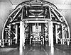
October 3, 1985 Goddard Space Flight Center
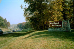
39°00′24″N 76°49′31″W / 39.006667°N 76.825278°WGreenbelt Built in 1966 to allow the evaluation of magnetic movement in spacecraft. 77 Suitland Parkway 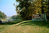
June 2, 1995 From the Anacostia River in the District of Columbia to Pennsylvania Ave. in Prince George's County
38°50′29″N 76°55′17″W / 38.841389°N 76.921389°WSuitland Part of the Multiple Property Submission for the Parkways of the National Capital Region. 78 Sunnyside 
May 29, 1987 16005 Dr. Bowen Rd.
38°35′05″N 76°43′41″W / 38.584722°N 76.728056°WAquasco Frame dwelling dating to 1844. 79 Surratt House 
March 30, 1973 9110 Brandywine Rd.
38°45′53″N 76°53′52″W / 38.764722°N 76.897778°WClinton Home owned by Mary Surratt that served as an arms and ammunition stop for John Wilkes Booth during his flight after shooting Lincoln; now operated as house museum. 80 John H. Traband House 
March 22, 1984 14204 Old Marlboro Pike
38°49′08″N 76°45′32″W / 38.818889°N 76.758889°WUpper Marlboro Queen Anne influenced frame structure built between 1895 and 1897. 81 University Park Historic District 
October 10, 1996 Bounded by Baltimore Ave., Maryland Route 410, and Adelphi Rd.
38°58′17″N 76°56′36″W / 38.971389°N 76.943333°WUniversity Park Middle-class, single-family residential neighborhood developed in the early part of the 20th century. 82 US Post Office-Hyattsville Main 
July 24, 1986 4325 Gallatin St.
38°57′10″N 76°56′29″W / 38.952778°N 76.941389°WHyattsville Colonial Revival building constructed in 1935. 83 Villa DeSales 
July 14, 1988 22410 Aquasco Rd.
38°34′58″N 76°43′19″W / 38.582778°N 76.721944°WAquasco Frame High Victorian Gothic dwelling built in 1877-1878. 84 George Washington House 
August 7, 1974 Baltimore Ave. at Upshur St.
38°56′28″N 76°56′29″W / 38.941111°N 76.941389°WBladensburg Brick structure constructed in 1732; also known as Indian Queen Tavern. 85 Waverly 
June 2, 1987 8901 Duvall Rd.
38°45′59″N 76°44′14″W / 38.766389°N 76.737222°WCroom Italianate style frame house constructed in 1855. 86 West Riverdale Historic District 
December 23, 2002 Roughly bounded by Maryland Route 410, 44th Place, the Hyattsville city limits, and 43rd St.
38°57′48″N 76°56′31″W / 38.963333°N 76.941944°WRiverdale Park Diverse residential community that includes the former Eugene Leland Memorial Hospital. 87 Williams Plains 
November 28, 1980 Maryland Route 3 in White Marsh Recreational Park
38°58′35″N 76°43′19″W / 38.976389°N 76.721944°WBowie Early to mid-19th century brick dwelling. 88 Woodstock 
September 21, 1987 8706 SE. Crain Highway
38°46′10″N 76°48′07″W / 38.769444°N 76.801944°WUpper Marlboro Mid-19th century plantation house with decorative elements in the Greek Revival style. 89 Woodyard Archeological Site December 19, 1974 Woodyard Rd.
38°47′3.912″N 76°50′49.272″W / 38.78442°N 76.84702°W[5]Clinton Site of a large brick mansion known as "The Woodyard" and built in the 18th century. 90 Wyoming 
January 24, 1980 South of Clinton on Thrift Rd.
38°43′38″N 76°55′09″W / 38.727222°N 76.919167°WClinton Frame dwelling dating to the 18th century; ancestral home of the Marbury family. See also
- List of National Historic Landmarks in Maryland
- National Register of Historic Places listings in Maryland
References
- ^ The latitude and longitude information provided in this table was derived originally from the National Register Information System, which has been found to be fairly accurate for about 99% of listings. For about 1% of NRIS original coordinates, experience has shown that one or both coordinates are typos or otherwise extremely far off; some corrections may have been made. A more subtle problem causes many locations to be off by up to 150 yards, depending on location in the country: most NRIS coordinates were derived from tracing out latitude and longitudes off of USGS topographical quadrant maps created under North American Datum of 1927, which differs from the current, highly accurate GPS system used by Google maps. Chicago is about right, but NRIS longitudes in Washington are higher by about 4.5 seconds, and are lower by about 2.0 seconds in Maine. Latitudes differ by about 1.0 second in Florida. Some locations in this table may have been corrected to current GPS standards.
- ^ "National Register of Historic Places: Weekly List Actions". National Park Service, United States Department of the Interior. Retrieved on November 10, 2011.
- ^ Numbers represent an ordering by significant words. Various colorings, defined here, differentiate National Historic Landmark sites and National Register of Historic Places Districts from other NRHP buildings, structures, sites or objects.
- ^ "National Register Information System". National Register of Historic Places. National Park Service. . http://nrhp.focus.nps.gov/natreg/docs/All_Data.html.
- ^ Location derived from the Maryland Historical Trust; the NRIS lists the site as "Address Restricted"
U.S. National Register of Historic Places in Maryland Lists by county Allegany • Anne Arundel • Baltimore County • Calvert • Caroline • Carroll • Cecil • Charles • Dorchester • Frederick • Garrett • Harford • Howard • Kent • Montgomery • Prince George's • Queen Anne's • Somerset • St. Mary's • Talbot • Washington • Wicomico • Worcester

Lists by city Other lists Keeper of the Register • History of the National Register of Historic Places • Property types • Historic district • Contributing property Categories:- National Register of Historic Places in Maryland by county
- Prince George's County, Maryland
-


Wikimedia Foundation. 2010.