- National Register of Historic Places listings in Cecil County, Maryland
-
 Location of Cecil County in Maryland
This is a list of the National Register of Historic Places listings in Cecil County, Maryland.
This is intended to be a complete list of the properties and districts on the National Register of Historic Places in Cecil County, Maryland, United States. Latitude and longitude coordinates are provided for many National Register properties and districts; these locations may be seen together in a Google map.[1]
There are 51 properties and districts listed on the National Register in the county.
Contents: Counties in Maryland Allegany - Anne Arundel - Baltimore (city) - Baltimore County - Calvert - Caroline - Carroll - Cecil - Charles - Dorchester - Frederick - Garrett - Harford - Howard - Kent - Montgomery - Prince George's - Queen Anne's - Somerset - St. Mary's - Talbot - Washington - Wicomico - Worcester -
- This National Park Service list is complete through NPS recent listings posted November 10, 2011.[2]
Current listings
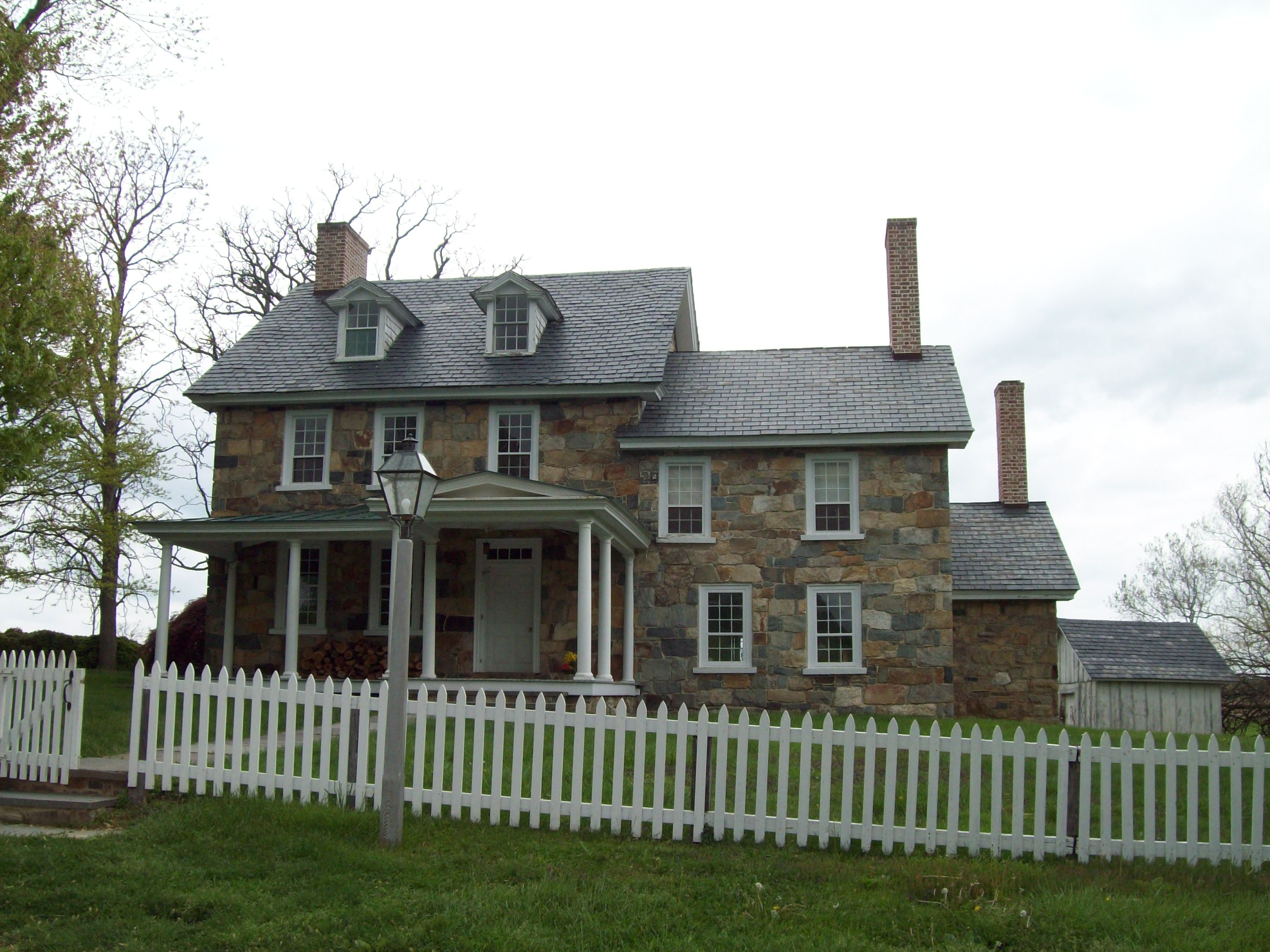
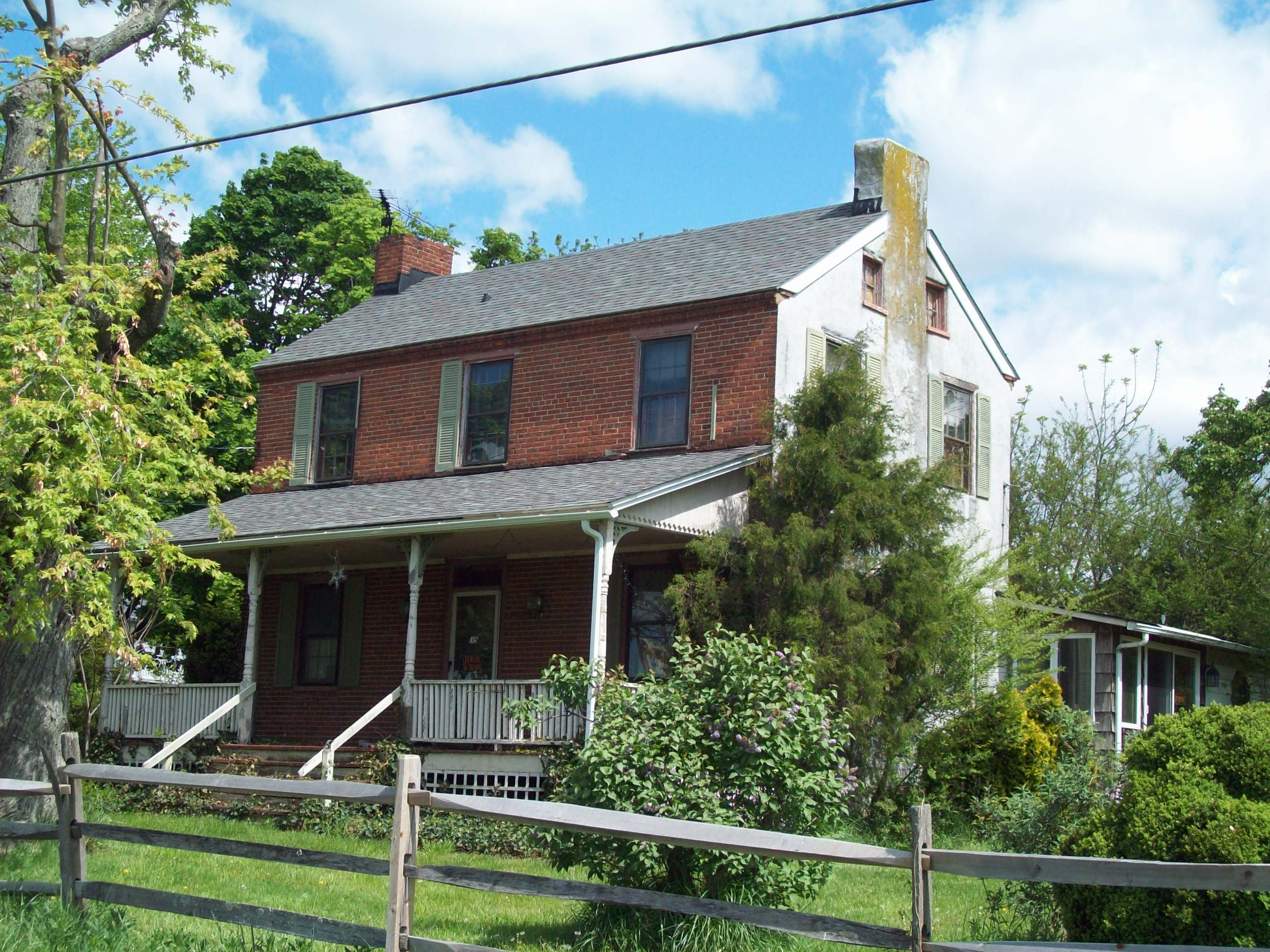
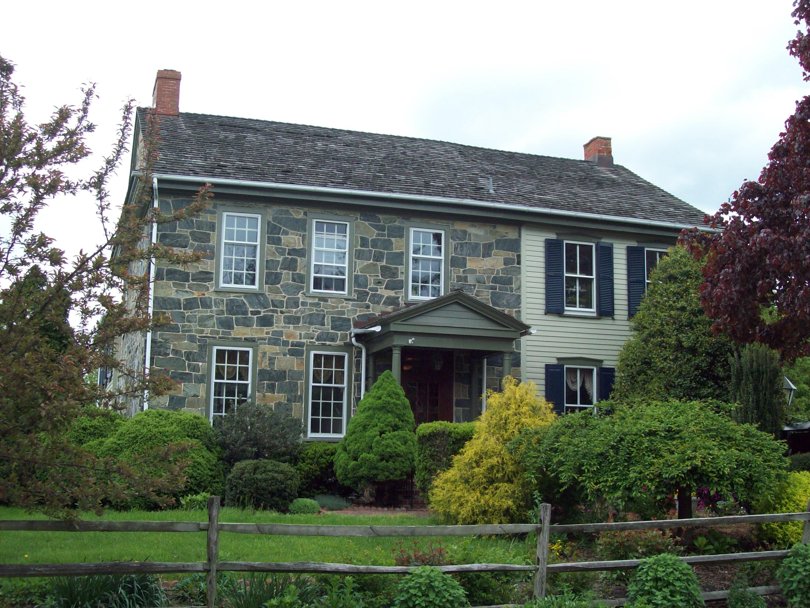
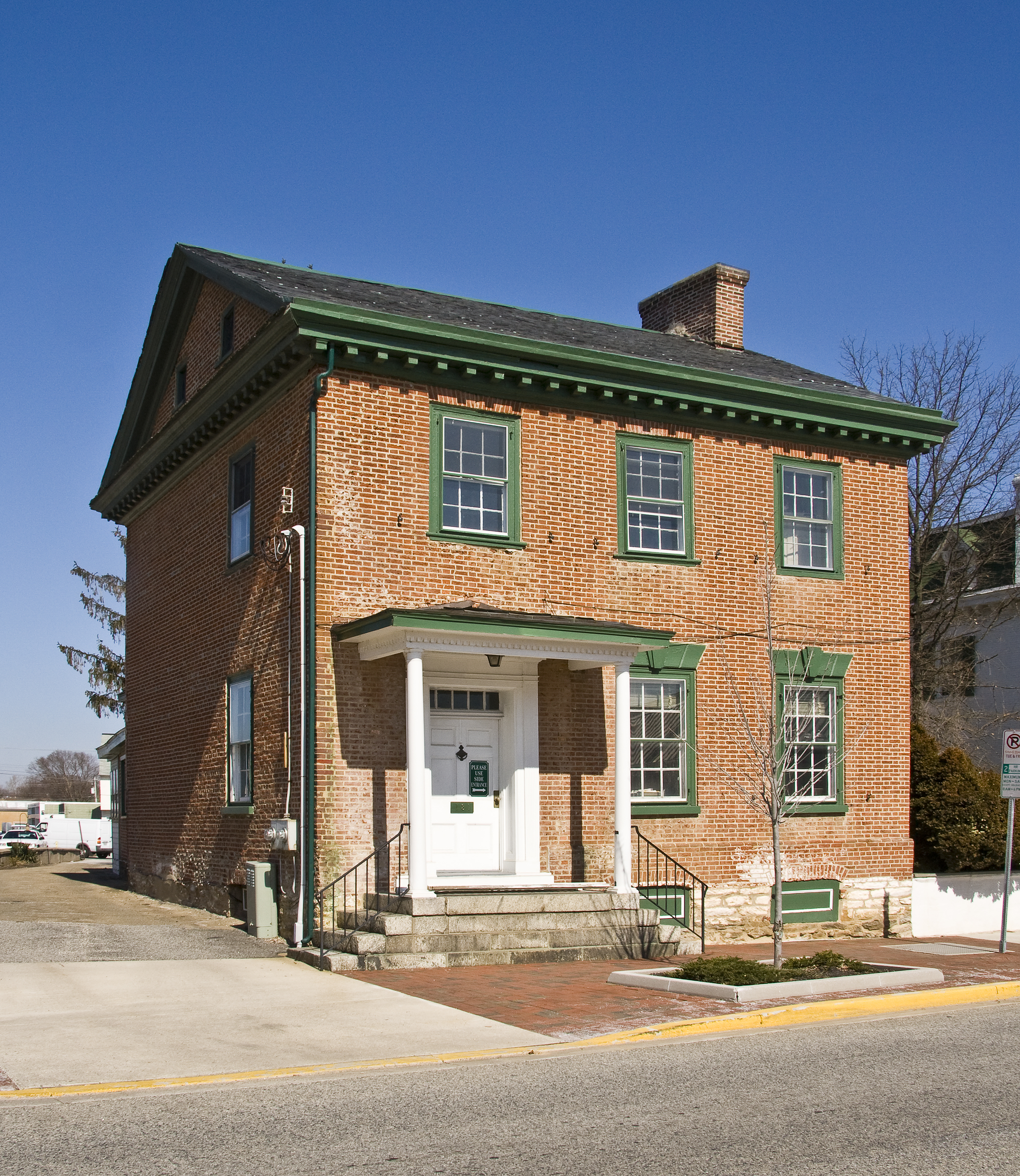
[3] Landmark name [4] Image Date listed Location City or town Summary 1 Bohemia Farm April 11, 1973 4920 Augustine Herman Highway; 1 mile south of the Bohemia River off U.S. Route 213
39°27′01″N 75°51′44″W / 39.450278°N 75.862222°WEarleville 2 Jeremiah Brown House and Mill Site November 2, 1987 1416 Telegraph Rd.
39°42′13″N 76°00′15″W / 39.703611°N 76.004167°WRising Sun 3 Mercer Brown House 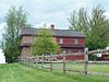
May 29, 1987 1270 England Creamery Rd.
39°41′28″N 75°59′52″W / 39.691111°N 75.997778°WRising Sun 4 Bumpstead Archeological Site 
December 16, 1983 Address Restricted Elkton 5 Charlestown Historic District April 14, 1975 Bounded by Tasker and Ogle Sts., Louisa Lane, and the North East River
39°34′26″N 75°58′32″W / 39.573889°N 75.975556°WCharlestown 6 John Churchman House September 11, 1986 115 Churchman Ln.
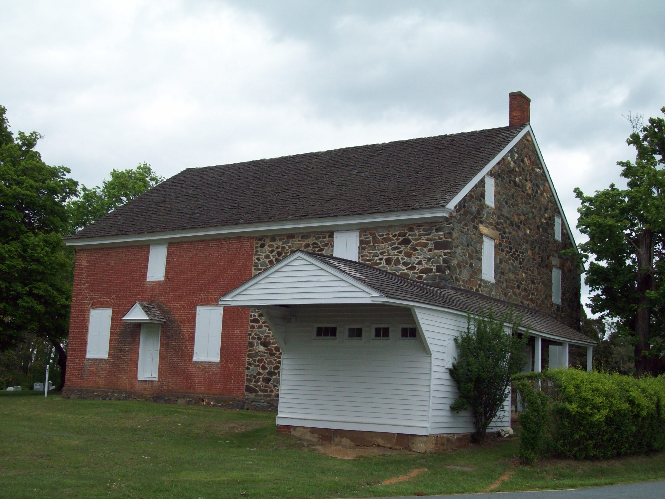
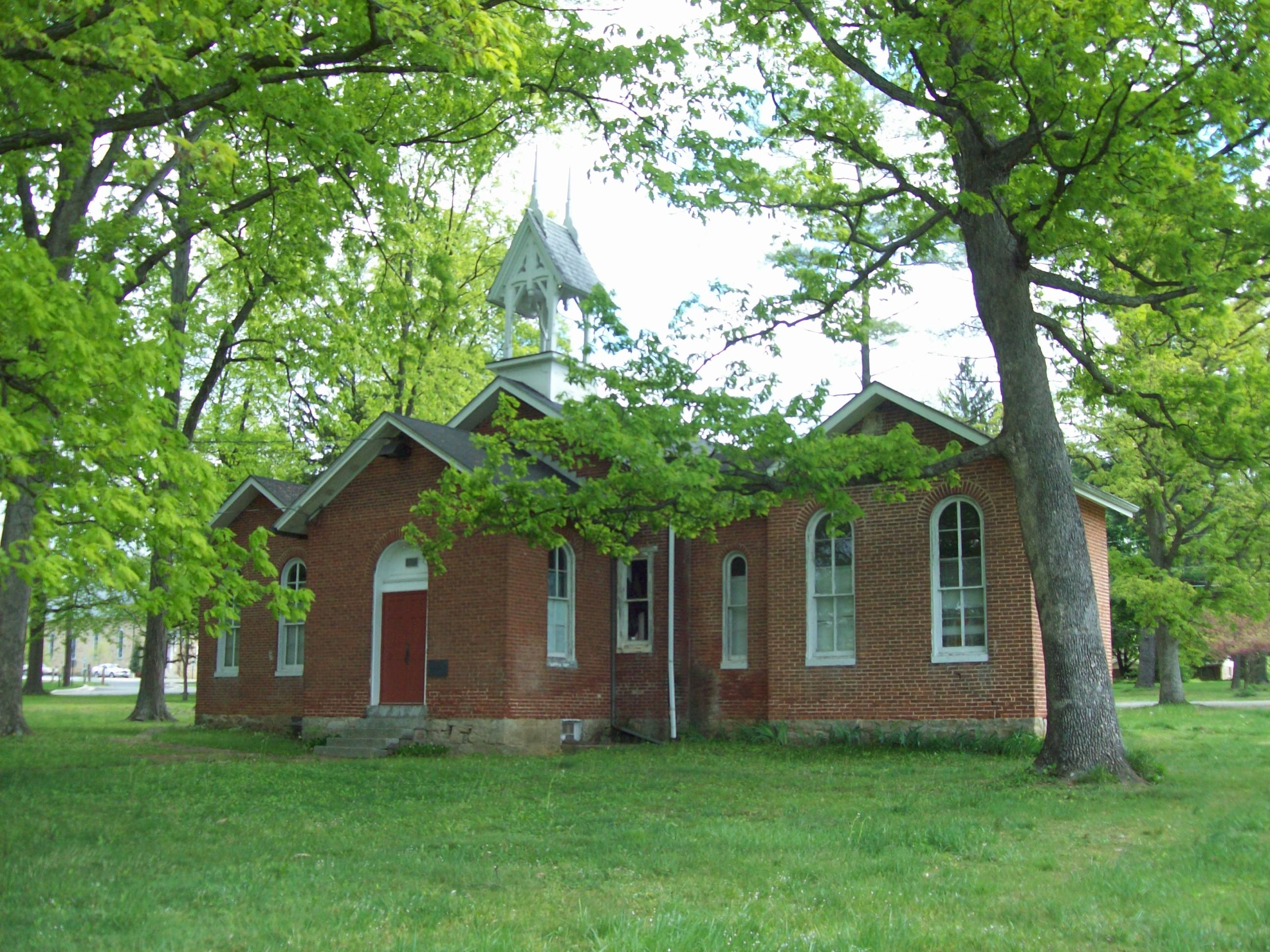
39°42′46″N 75°58′36″W / 39.712778°N 75.976667°WCalvert 7 Colora Meetinghouse August 22, 1977 Corncake Row; North of Colora on Lipencott Rd.
39°40′32″N 76°05′56″W / 39.675556°N 76.098889°WColora 8 East Nottingham Friends Meetinghouse 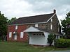
August 19, 1977 East of Rising Sun at the junction of Maryland Routes 272 and 273
39°42′04″N 75°59′00″W / 39.701111°N 75.983333°WRising Sun 9 THE ELF (yacht) March 26, 1980 Sassafras River
39°21′43″N 75°53′13″W / 39.361944°N 75.886944°WFredericktown 10 Elk Landing September 7, 1984 Landing Lane
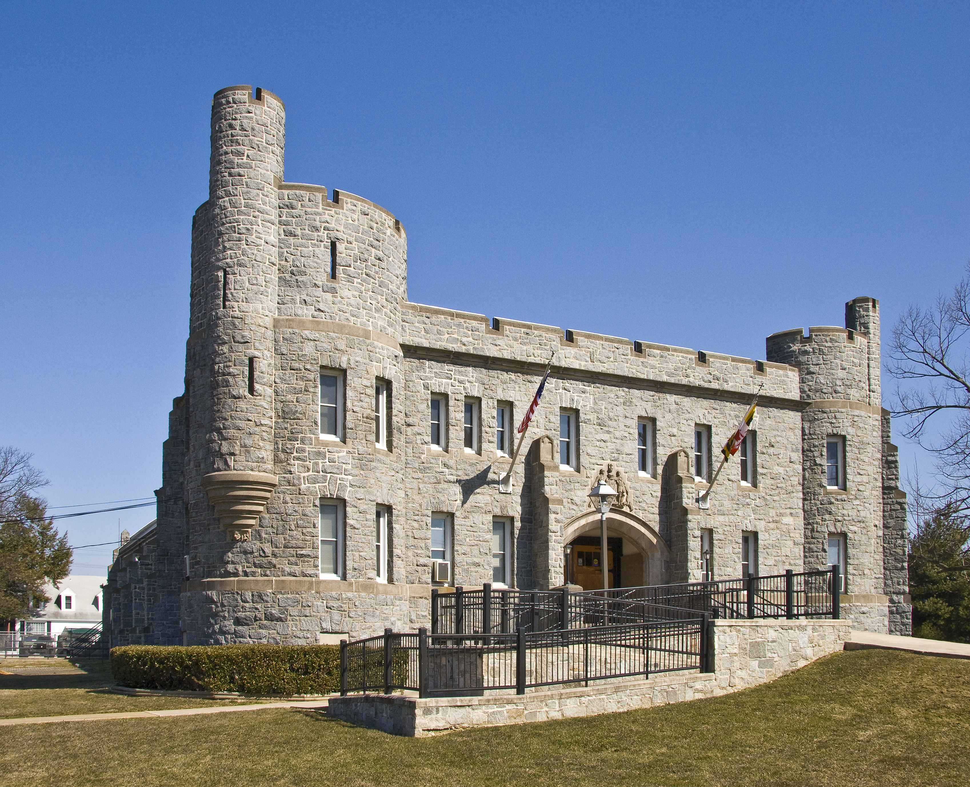
39°35′45″N 75°50′28″W / 39.595833°N 75.841111°WElkton 11 Elkton Armory 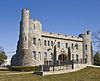
September 25, 1985 Railroad Ave. and Bow St.
39°36′41″N 75°50′01″W / 39.611389°N 75.833611°WElkton 12 Isaac England House March 20, 1980 1000 Crothers Road; 1 mile west of Zion on England Creamery Rd.
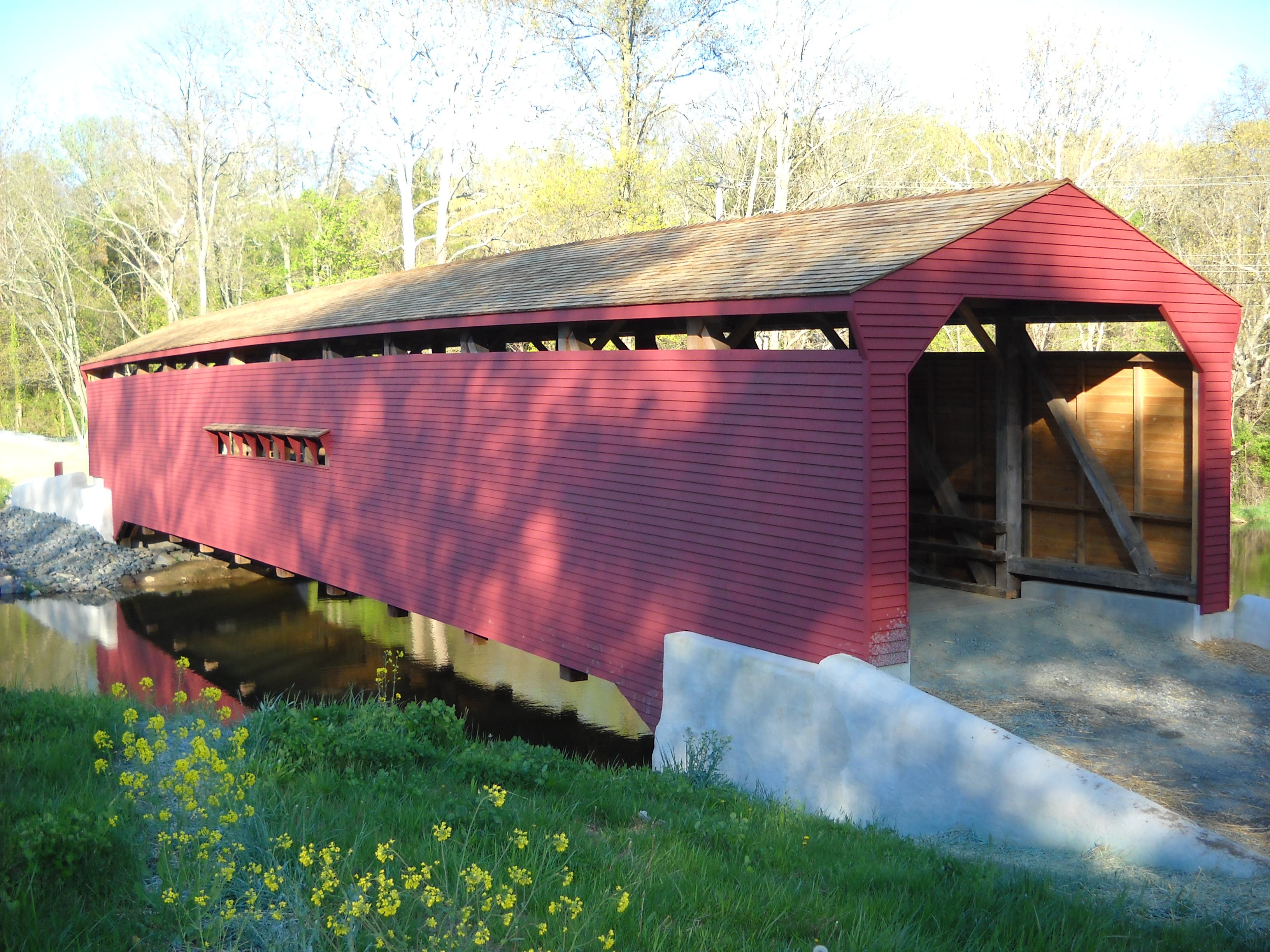
39°40′29″N 75°59′08″W / 39.674722°N 75.985556°WZion 13 Gilpin's Falls Covered Bridge 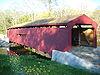
December 3, 2008 Maryland Route 272
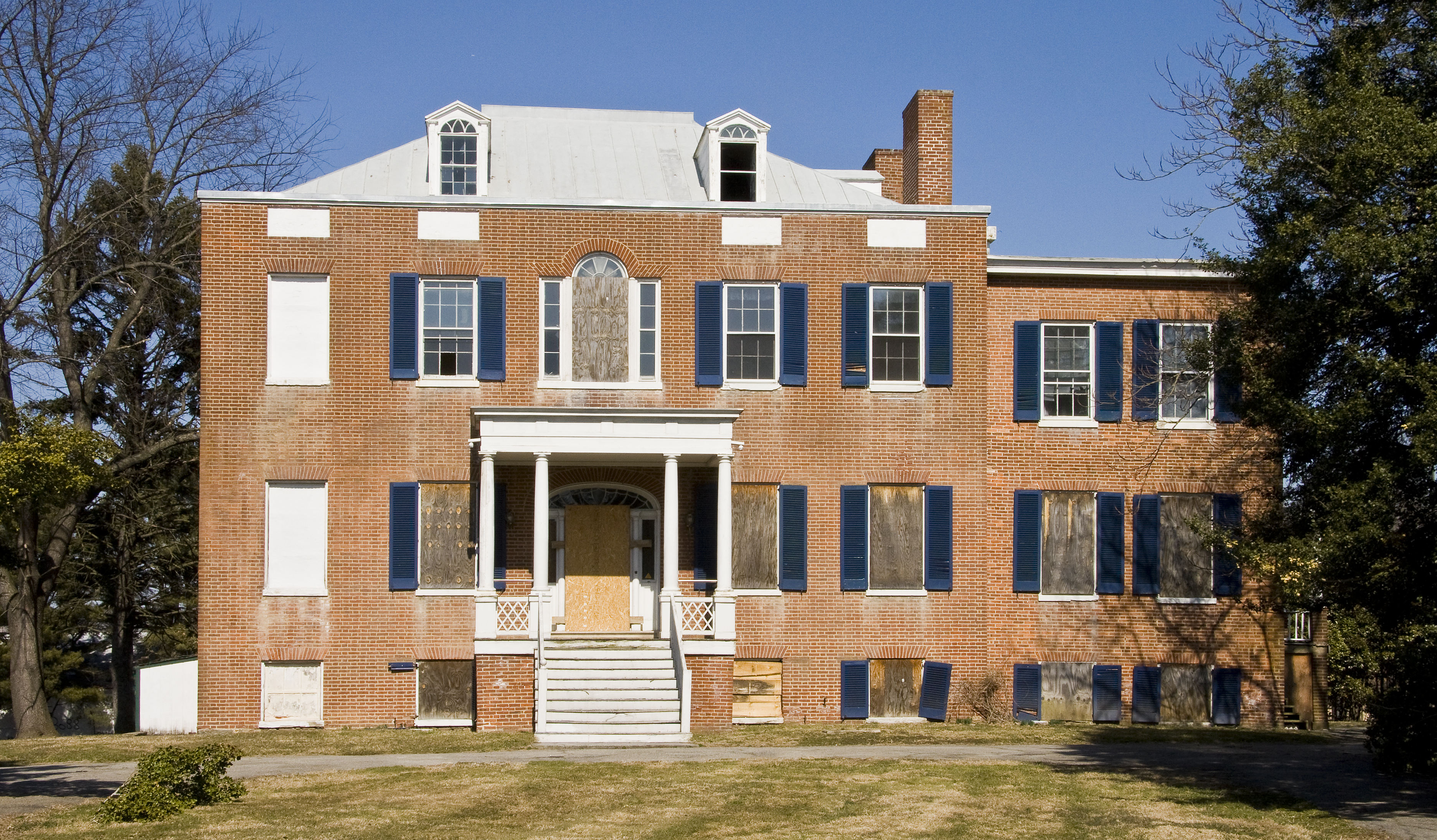
39°38′56″N 75°57′20″W / 39.648833°N 75.955583°WNorth East 14 Grear Prehistoric Village Site July 30, 1975 Address Restricted White Crystal Beach 15 Great House June 7, 1984 284 Great House Farm Rd.
39°27′56″N 75°49′37″W / 39.465556°N 75.826944°WSt. Augustine 16 Greenfields February 11, 1972 South of Cecilton at 6840 Augustine Herman Highway on U.S. Route 213
39°23′21″N 75°51′54″W / 39.389167°N 75.865°WCecilton 17 Nathan and Susannah Harris House 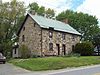
March 22, 1984 541 Rising Sun Rd.
39°41′45″N 76°04′53″W / 39.695833°N 76.081389°WHarrisville 18 Edward W. Haviland House December 7, 2000 2464 Frenchtown Rd.
39°36′22″N 76°06′06″W / 39.606111°N 76.101667°WPort Deposit 19 Heath Farm Camp Archeological Site December 16, 1983 Address Restricted Elkton 20 Heath Farm Jasper Quarry Archeological Site December 16, 1983 Address Restricted Elkton 21 Holly Hall 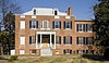
October 8, 1976 259 S. Bridge St.
39°36′08″N 75°49′41″W / 39.602222°N 75.828056°WElkton 22 Hopewell 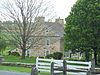
May 9, 1979 Northwest of Providence at 594 Little Elk Creek Road
39°42′49″N 75°54′08″W / 39.713611°N 75.902222°WProvidence 23 Indian Queen Tavern and Black's Store February 20, 1975 Market St. between Bladen and Cecil Sts.
39°34′27″N 75°58′39″W / 39.574167°N 75.9775°WCharlestown 24 Iron Hill Cut Jasper Quarry Archeological Site December 16, 1983 Address Restricted Elkton 25 Elisha Kirk House July 21, 1982 18 Cross Keys Road
39°41′55″N 75°59′04″W / 39.698611°N 75.984444°WCalvert 26 Little Elk Farm 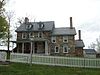
May 9, 1979 Northwest of Providence at 392 Little Elk Creek Road
39°42′29″N 75°54′07″W / 39.708056°N 75.901944°WProvidence 27 Joshua Lowe House 
April 5, 2001 35 New Bridge Rd.
39°42′54″N 76°09′29″W / 39.715°N 76.158056°WRising Sun 28 McCandless Archeological Site December 16, 1983 Address Restricted Elkton 29 Mitchell House 
April 11, 1980 Maryland Routes 213 and 273
39°42′08″N 75°52′06″W / 39.702222°N 75.868333°WFair Hill 30 Mitchell House 
May 13, 1976 131 E. Main St.
39°36′32″N 75°49′43″W / 39.608889°N 75.828611°WElkton 31 Mount Harmon June 5, 1974 Southwest of Earleville at 600 Grove Neck Rd.
39°23′02″N 75°56′29″W / 39.383889°N 75.941389°WEarleville 32 New Castle and Frenchtown Railroad Right-of-Way September 1, 1976 Off U.S. Route 40 between Porter, Delaware and Frenchtown
39°35′37″N 75°45′54″W / 39.593611°N 75.765°WFrenchtown 33 Octorara Farm May 7, 1980 South of Conowing on Rowlandsville Road
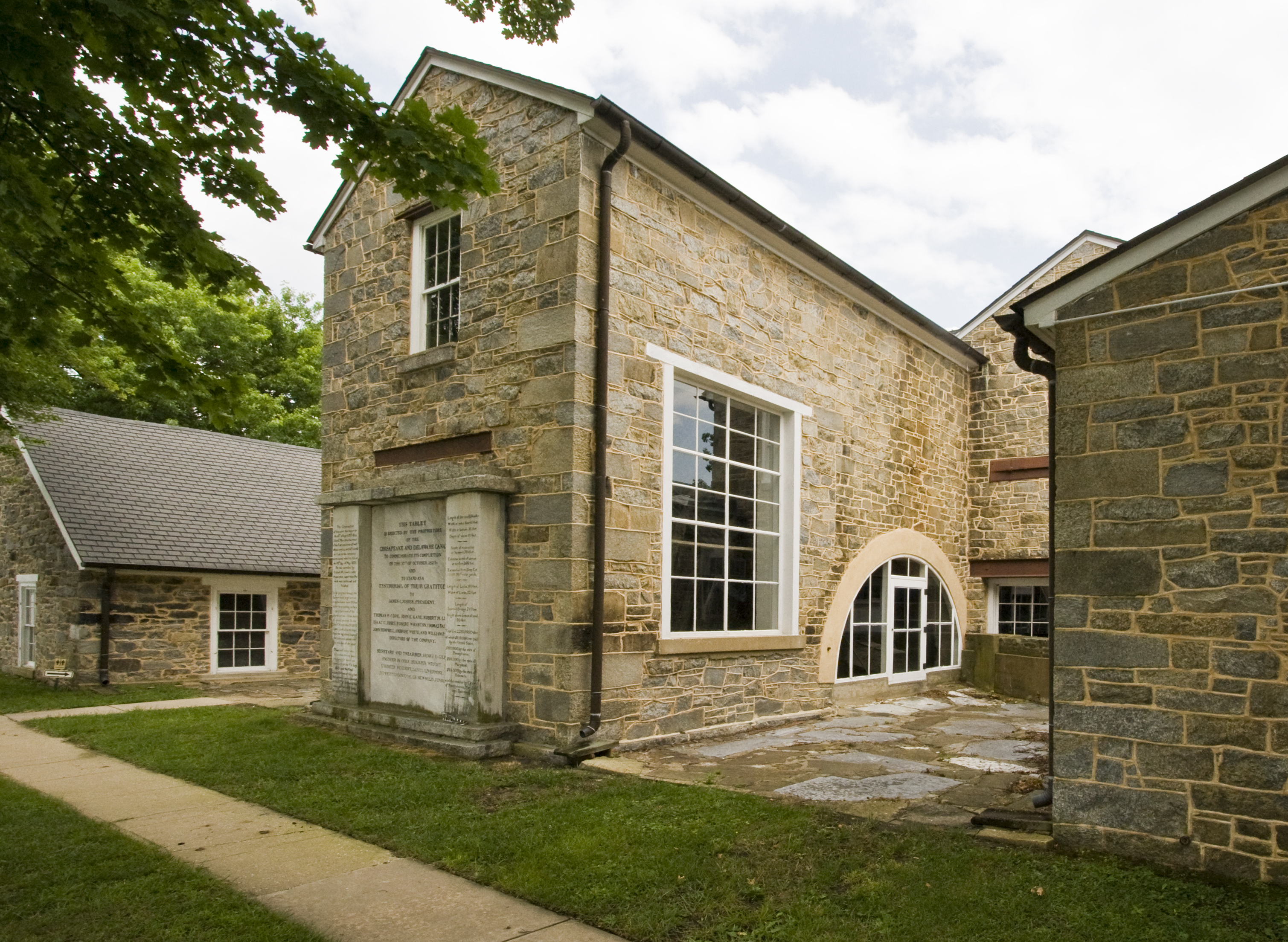
39°40′19″N 76°09′04″W / 39.671944°N 76.151111°WConowingo 34 Old Lock Pump House, Chesapeake and Delaware Canal 
October 15, 1966 Maryland Route 213
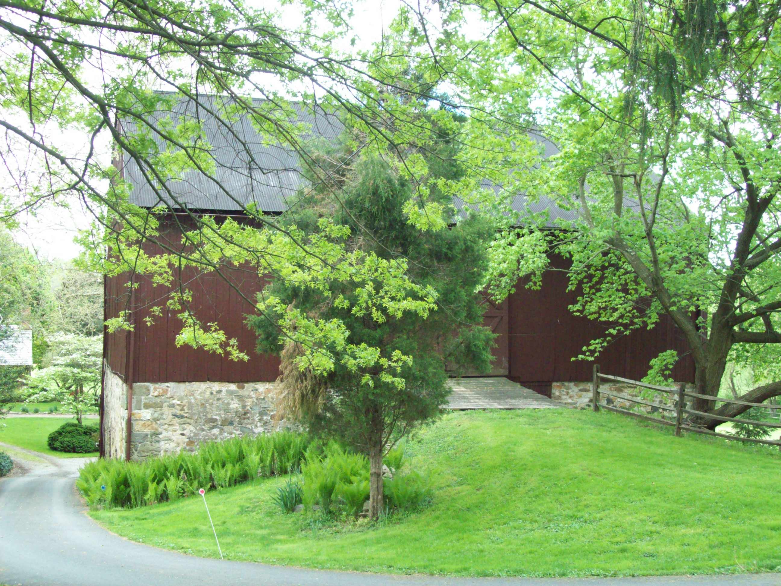
39°31′32″N 75°48′39″W / 39.525556°N 75.810833°WChesapeake City 35 Paw Paw Building November 28, 1977 98 N. Main St.
39°36′28″N 76°07′07″W / 39.607778°N 76.118611°WPort Deposit 36 Perry Point Mansion House and Mill 
July 2, 1975 Veterans Administration Hospital grounds
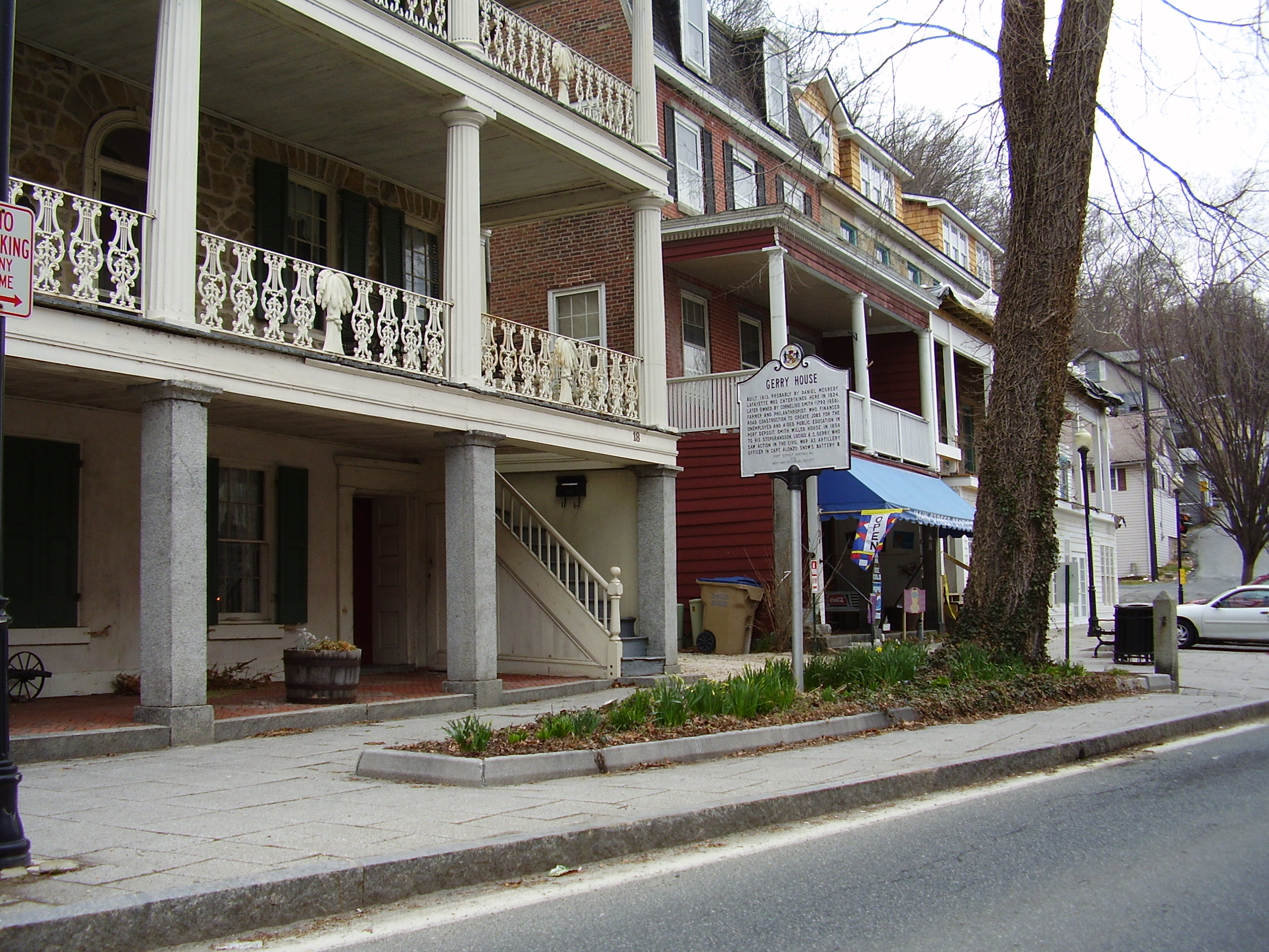
39°32′58″N 76°04′15″W / 39.549444°N 76.070833°WPerryville 37 Port Deposit 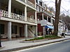
May 23, 1978 Eastern bank of the Susquehanna River, 10 miles (16 km) south of the Mason-Dixon Line
39°36′32″N 76°07′09″W / 39.608889°N 76.119167°WPort Deposit 38 Principio Furnace 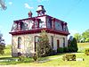
February 11, 1972 Address Restricted Perryville 39 Thomas Richards House 
December 19, 1979 3 miles west of Rising Sun on U.S. Route 1
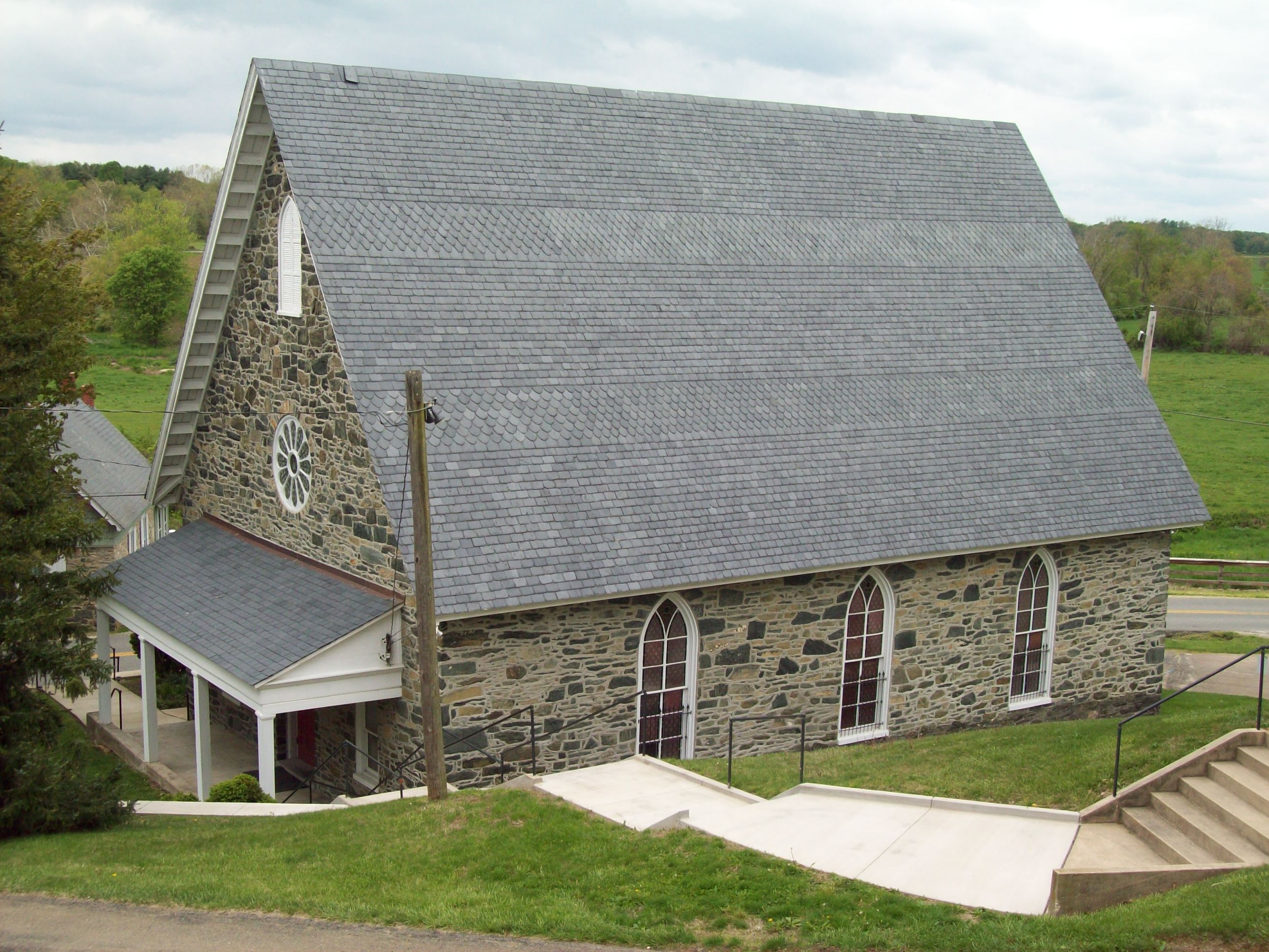
39°41′34″N 76°06′41″W / 39.692778°N 76.111389°WRising Sun 40 Rock United Presbyterian Church 
December 1, 1983 Maryland Route 273 at Rock Church Rd.
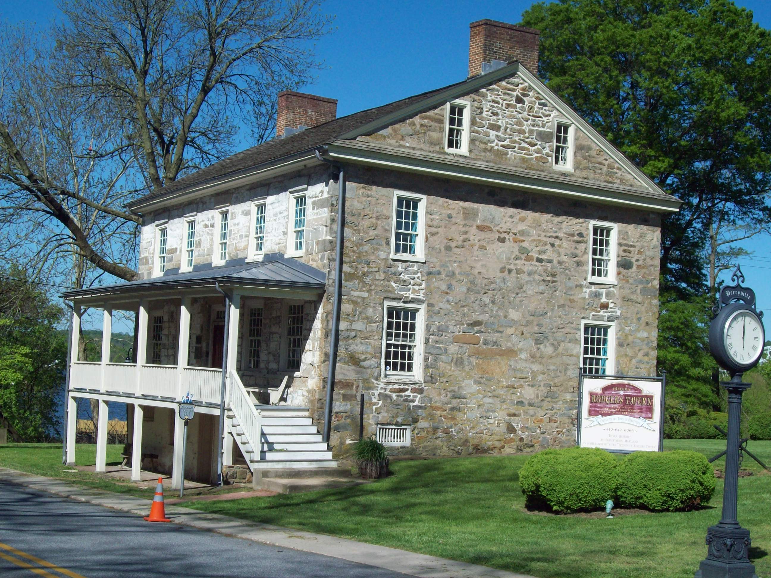
39°42′07″N 75°53′09″W / 39.701944°N 75.885833°WElkton 41 Rodgers Tavern 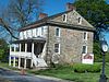
April 26, 1972 W. Main St.
39°33′26″N 76°04′42″W / 39.557222°N 76.078333°WPerryville 42 Rose Hill November 5, 1974 1100 Grove Neck Rd.
39°23′23″N 75°57′18″W / 39.389722°N 75.955°WEarleville 43 Snow Hill Site April 27, 1984 Address Restricted Port Deposit 44 South Chesapeake City Historic District July 15, 1974 East of U.S. Route 213, south of the Chesapeake and Delaware Canal
39°31′37″N 75°48′51″W / 39.526944°N 75.814167°WChesapeake City 45 St. Francis Xavier Church October 10, 1975 2 miles northwest of Warwick off Maryland Route 299
39°26′16″N 75°48′12″W / 39.437778°N 75.803333°WWarwick 46 St. Stephen's Episcopal Church April 29, 1982 North of Earleville on Maryland Route 282
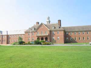
39°25′31″N 75°55′06″W / 39.425278°N 75.918333°WEarleville 47 Tome School for Boys Historic District 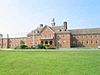
May 16, 1984 Bainbridge Naval Training Grounds
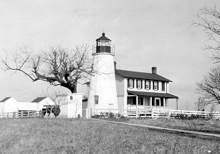
39°36′10″N 76°06′26″W / 39.602778°N 76.107222°WPort Deposit 48 Turkey Point Light Station 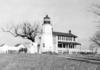
December 2, 2002 South Elk Neck State Park
39°26′59″N 76°00′32″W / 39.449722°N 76.008889°WNorth East 49 West Nottingham Academy Historic District 
July 26, 1990 Junction of Harrisville and Firetower Rds.
39°40′01″N 76°04′49″W / 39.666944°N 76.080278°WColora 50 West Nottingham Meetinghouse 
November 7, 1976 Southwest of Rising Sun at the junction of Cox and Cowen Rds.
39°41′12″N 76°04′46″W / 39.686667°N 76.079444°WRising Sun 51 Woodlands September 24, 1979 East of Perryville on Maryland Route 7, Woodlands Farm Lane North
39°34′12″N 76°03′27″W / 39.57°N 76.0575°WPerryville See also
- List of National Historic Landmarks in Maryland
- National Register of Historic Places listings in Maryland
References
- ^ The latitude and longitude information provided in this table was derived originally from the National Register Information System, which has been found to be fairly accurate for about 99% of listings. For about 1% of NRIS original coordinates, experience has shown that one or both coordinates are typos or otherwise extremely far off; some corrections may have been made. A more subtle problem causes many locations to be off by up to 150 yards, depending on location in the country: most NRIS coordinates were derived from tracing out latitude and longitudes off of USGS topographical quadrant maps created under North American Datum of 1927, which differs from the current, highly accurate GPS system used by Google maps. Chicago is about right, but NRIS longitudes in Washington are higher by about 4.5 seconds, and are lower by about 2.0 seconds in Maine. Latitudes differ by about 1.0 second in Florida. Some locations in this table may have been corrected to current GPS standards.
- ^ "National Register of Historic Places: Weekly List Actions". National Park Service, United States Department of the Interior. Retrieved on November 10, 2011.
- ^ Numbers represent an ordering by significant words. Various colorings, defined here, differentiate National Historic Landmark sites and National Register of Historic Places Districts from other NRHP buildings, structures, sites or objects.
- ^ "National Register Information System". National Register of Historic Places. National Park Service. . http://nrhp.focus.nps.gov/natreg/docs/All_Data.html.
U.S. National Register of Historic Places in Maryland Lists by county Allegany • Anne Arundel • Baltimore County • Calvert • Caroline • Carroll • Cecil • Charles • Dorchester • Frederick • Garrett • Harford • Howard • Kent • Montgomery • Prince George's • Queen Anne's • Somerset • St. Mary's • Talbot • Washington • Wicomico • Worcester

Lists by city Other lists Municipalities and communities of Cecil County, Maryland Towns Cecilton | Charlestown | Chesapeake City | Elkton | North East | Perryville | Port Deposit | Rising Sun

Unincorporated
communitiesGhost town Frenchtown
Categories:- National Register of Historic Places in Maryland by county
- Cecil County, Maryland
-


Wikimedia Foundation. 2010.