There are 40 properties and districts listed on the National Register in the county, including 2 National Historic Landmarks.
| [3] |
Landmark name[4] |
Image |
Date listed |
Location |
City or Town |
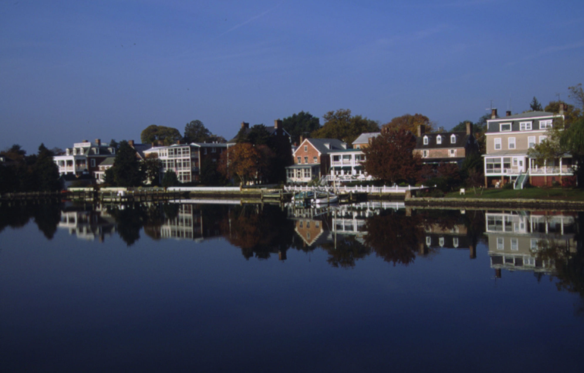
Summary |
| 1 |
Airy Hill |
|
01996-12-30 December 30, 1996 |
7909 Airy Hill Rd.
39°11′34″N 76°5′36″W / 39.19278°N 76.09333°W / 39.19278; -76.09333 (Airy Hill) |
Chestertown |
|
| 2 |
BERNICE J. (skipjack) |
|
01985-09-05 September 5, 1985 |
Town Dock
39°12′24″N 76°3′48″W / 39.20667°N 76.06333°W / 39.20667; -76.06333 (BERNICE J. (skipjack)) |
Chestertown |
|
| 3 |
Betterton Historic District |
|
01984-06-07 June 7, 1984 |
Roughly bounded by the Sassafras River, Gut Marsh, 6th, and Ericsson Aves.
39°22′2″N 76°3′47″W / 39.36722°N 76.06306°W / 39.36722; -76.06306 (Betterton Historic District) |
Betterton |
|
| 4 |
Brampton |
|
01983-08-04 August 4, 1983 |
Maryland Route 20
39°12′43″N 76°5′44″W / 39.21194°N 76.09556°W / 39.21194; -76.09556 (Brampton) |
Chestertown |
|
| 5 |
Carvill Hall |
|
01973-03-14 March 14, 1973 |
Great Oak Estates, 10 miles west of Chestertown
39°15′34″N 76°12′6″W / 39.25944°N 76.20167°W / 39.25944; -76.20167 (Carvill Hall) |
Chestertown |
|
| 6 |
Chestertown Armory |
 |
01985-09-25 September 25, 1985 |
Quaker Neck Rd.
39°12′11″N 76°4′3″W / 39.20306°N 76.0675°W / 39.20306; -76.0675 (Chestertown Armory) |
Chestertown |
|
| 7 |
Chestertown Historic District |
 |
01970-04-15 April 15, 1970 |
Roughly bounded by Maple Avenue, the Chester River, and Cannon and Cross Streets
39°12′29″N 76°3′52″W / 39.20806°N 76.06444°W / 39.20806; -76.06444 (Chestertown Historic District) |
Chestertown |
|
| 8 |
Chestertown Railroad Station |
|
01982-12-08 December 8, 1982 |
Cross St.
39°12′28″N 76°4′8″W / 39.20778°N 76.06889°W / 39.20778; -76.06889 (Chestertown Railroad Station) |
Chestertown |
|
| 9 |
Chesterville Brick House |
|
01979-07-17 July 17, 1979 |
Junction of Maryland Routes 290 and 444
39°16′36″N 75°54′57″W / 39.27667°N 75.91583°W / 39.27667; -75.91583 (Chesterville Brick House) |
Chesterville |
|
| 10 |
Christ Church, Graveyard and Sexton's House |
|
01980-04-02 April 2, 1980 |
North of Worton on Maryland Route 298
39°17′26″N 76°5′32″W / 39.29056°N 76.09222°W / 39.29056; -76.09222 (Christ Church, Graveyard and Sexton's House) |
Worton |
|
| 11 |
Clark's Conveniency |
|
01975-09-09 September 9, 1975 |
2 miles south of Pomona on Quaker Neck Rd.
39°8′27″N 76°7′18″W / 39.14083°N 76.12167°W / 39.14083; -76.12167 (Clark's Conveniency) |
Pomona |
|
| 12 |
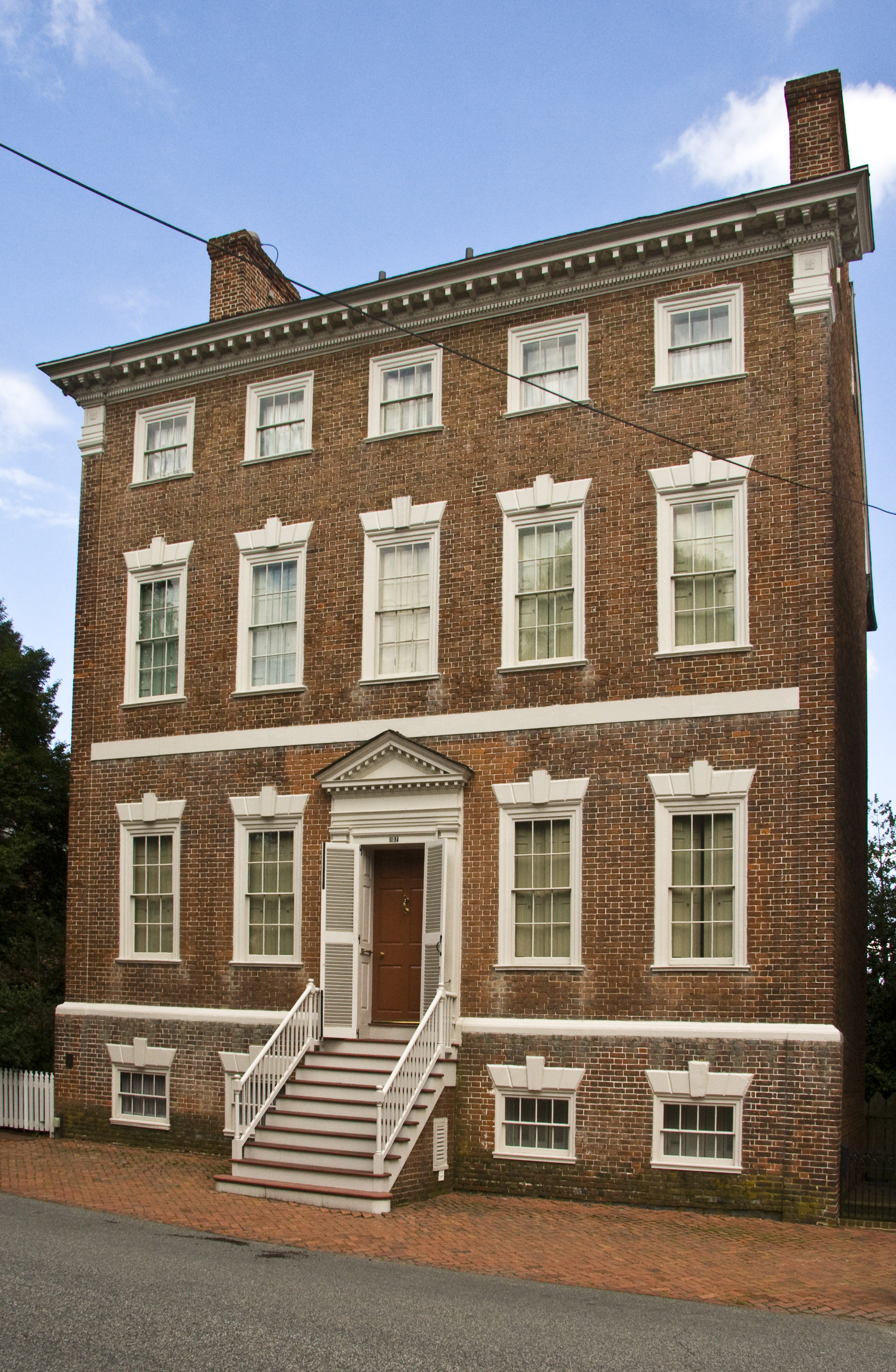
Denton House |
 |
01971-03-11 March 11, 1971 |
107 Water St.
39°12′29″N 76°3′47″W / 39.20806°N 76.06306°W / 39.20806; -76.06306 (Denton House) |
Chestertown |
|
| 13 |
ELSWORTH |
 |
01985-05-16 May 16, 1985 |
Gibsontown Rd.
38°42′46″N 76°19′53″W / 38.71278°N 76.33139°W / 38.71278; -76.33139 (ELSWORTH) |
Tilghman |
|
| 14 |
Fairlee Manor Camp House |
|
01973-04-11 April 11, 1973 |
1.5 miles west of Fairlee off Maryland Route 445
39°14′33″N 76°12′12″W / 39.2425°N 76.20333°W / 39.2425; -76.20333 (Fairlee Manor Camp House) |
Fairlee |
|
| 15 |
Gobbler Hill |
|
02009-12-23 December 23, 2009 |
10121 Fairlee Rd.
39°14′33″N 76°12′12″W / 39.2425°N 76.20333°W / 39.2425; -76.20333 (Gobbler Hill) |
Chestertown |
|
| 16 |
Godlington Manor |
|
01972-02-11 February 11, 1972 |
Wilkins Lane
39°10′42″N 76°3′27″W / 39.17833°N 76.0575°W / 39.17833; -76.0575 (Godlington Manor) |
Chestertown |
|
| 17 |
George Harper Store |
|
01982-07-09 July 9, 1982 |
Maryland Route 292 and Main St.
39°19′38″N 76°2′41″W / 39.32722°N 76.04472°W / 39.32722; -76.04472 (Harper, George, Store) |
Still Pond |
|
| 18 |
Hebron |
|
01978-09-18 September 18, 1978 |
Southeast of Still Pond off Maryland Route 292
39°19′23″N 76°2′24″W / 39.32306°N 76.04°W / 39.32306; -76.04 (Hebron) |
Still Pond |
|
| 19 |
Hinchingham |
|
01975-09-05 September 5, 1975 |
North of Rock Hall off Maryland Route 445
39°11′40″N 76°14′56″W / 39.19444°N 76.24889°W / 39.19444; -76.24889 (Hinchingham) |
Rock Hall |
|
| 20 |
ISLAND IMAGE (log canoe) |
|
01985-09-18 September 18, 1985 |
Walnut Point Rd.
39°10′11″N 76°3′46″W / 39.16972°N 76.06278°W / 39.16972; -76.06278 (ISLAND IMAGE (log canoe)) |
Chestertown |
|
| 21 |
Knocks Folly |
|
01976-06-17 June 17, 1976 |
North of Kennedyville on Maryland Route 298
39°21′6″N 75°59′4″W / 39.35167°N 75.98444°W / 39.35167; -75.98444 (Knocks Folly) |
Kennedyville |
|
| 22 |
Lauretum |
|
01997-09-04 September 4, 1997 |
954 High St.
39°13′10″N 76°5′8″W / 39.21944°N 76.08556°W / 39.21944; -76.08556 (Lauretum) |
Chestertown |
|
| 23 |
NELLIE CROCKETT |
|
01994-04-19 April 19, 1994 |
Sassafras River
39°21′47″N 75°52′55″W / 39.36306°N 75.88194°W / 39.36306; -75.88194 (NELLIE CROCKETT) |
Georgetown |
|
| 24 |
Radcliffe Mill |
|
02006-12-27 December 27, 2006 |
860 High St.
39°13′9″N 76°4′49″W / 39.21917°N 76.08028°W / 39.21917; -76.08028 (Radcliffe Mill) |
Chestertown |
|
| 25 |
Reward-Tilden's Farm |
|
01976-05-06 May 6, 1976 |
South of Chestertown, off Maryland Route 289 on Walnut Point Rd.
39°9′8″N 76°8′39″W / 39.15222°N 76.14417°W / 39.15222; -76.14417 (Reward-Tilden's Farm) |
Chestertown |
|
| 26 |
Rich Hill |
|
01972-12-15 December 15, 1972 |
Maryland Route 299
39°22′7″N 75°48′27″W / 39.36861°N 75.8075°W / 39.36861; -75.8075 (Rich Hill) |
Sassafras |
|
| 27 |
Rose Hill |
|
01976-12-12 December 12, 1976 |
2 miles north of Chestertown on Maryland Route 213
39°14′54″N 76°3′48″W / 39.24833°N 76.06333°W / 39.24833; -76.06333 (Rose Hill) |
Chestertown |
|
| 28 |
St. Paul's Church |
 |
01980-06-06 June 6, 1980 |
Sandy Bottom Rd. and Ricaud's Branch-Lankford Rd.
39°11′11″N 76°10′47″W / 39.18639°N 76.17972°W / 39.18639; -76.17972 (St. Paul's Church) |
Fairlee |
|
| 29 |
Shepherd's Delight |
|
01976-06-17 June 17, 1976 |
South of Still Pond on Maryland Route 292
39°17′58″N 76°2′22″W / 39.29944°N 76.03944°W / 39.29944; -76.03944 (Shepherd's Delight) |
Still Pond |
|
| 30 |
Shrewsbury Church |
|
01986-06-04 June 4, 1986 |
Shrewsbury Ln.
39°19′44″N 75°58′3″W / 39.32889°N 75.9675°W / 39.32889; -75.9675 (Shrewsbury Church) |
Kennedyville |
|
| 31 |
SILVER HEEL (log canoe) |
|
01985-09-18 September 18, 1985 |
Quaker Neck Landing
39°7′45″N 76°5′50″W / 39.12917°N 76.09722°W / 39.12917; -76.09722 (SILVER HEEL (log canoe)) |
Chestertown |
|
| 32 |
Still Pond Historic District |
|
02009-08-26 August 26, 2009 |
Still Pond Road, Old Still Pond Road, Main Street, Medders Road, Maple Avenue, Trustee Street
39°19′42″N 76°2′40″W / 39.32833°N 76.04444°W / 39.32833; -76.04444 (Still Pond Historic District) |
Still Pond |
|
| 33 |
Charles Sumner Post No. 25, Grand Army of the Republic |
|
02005-07-06 July 6, 2005 |
206 S. Queen St.
39°12′32″N 76°4′0″W / 39.20889°N 76.066667°W / 39.20889; -76.066667 (Sumner, Charles, Post #25, Grand Army of the Republic) |
Chestertown |
|
| 34 |
Thornton |
|
02005-12-23 December 23, 2005 |
10618 Perkins Hill Rd.
39°16′20″N 76°1′11″W / 39.27222°N 76.01972°W / 39.27222; -76.01972 (Thornton) |
Chestertown |
|
| 35 |
Trumpington |
|
01980-11-10 November 10, 1980 |
South of Rock Hall on Maryland Route 445
39°3′47″N 76°13′39″W / 39.06306°N 76.2275°W / 39.06306; -76.2275 (Trumpington) |
Rock Hall |
|
| 36 |
Valley Cottage |
|
01983-01-11 January 11, 1983 |
Princess Stop St.
39°21′37″N 75°52′51″W / 39.36028°N 75.88083°W / 39.36028; -75.88083 (Valley Cottage) |
Georgetown |
|
| 37 |
Washington College: Middle, East and West Halls |
|
01979-09-06 September 6, 1979 |
Washington Ave., Washington College campus
39°13′2″N 76°4′5″W / 39.21722°N 76.06806°W / 39.21722; -76.06806 (Washington College: Middle, East and West Halls) |
Chestertown |
|
| 38 |
White House Farm |
|
01992-03-12 March 12, 1992 |
Maryland Route 213 southwest of its junction with Maryland Route 292
39°17′0″N 76°1′11″W / 39.283333°N 76.01972°W / 39.283333; -76.01972 (White House Farm) |
Chestertown |
|
| 39 |
Widehall |
 |
01972-10-31 October 31, 1972 |
101 Water St.
39°12′27″N 76°3′50″W / 39.2075°N 76.06389°W / 39.2075; -76.06389 (Widehall) |
Chestertown |
|
| 40 |
Woodland Hall |
|
02008-12-10 December 10, 2008 |
13111 Shallcross Wharf Road
39°20′2″N 75°56′19″W / 39.33389°N 75.93861°W / 39.33389; -75.93861 (Woodland Hall) |
Kennedyville |
|
 Location of Kent County in Maryland