- National Register of Historic Places listings in Dorchester County, Maryland
-
 Location of Dorchester County in Maryland
This is a list of the National Register of Historic Places listings in Dorchester County, Maryland.
This is intended to be a complete list of the properties and districts on the National Register of Historic Places in Dorchester County, Maryland, United States. Latitude and longitude coordinates are provided for many National Register properties and districts; these locations may be seen together in a Google map.[1]
There are 24 properties and districts listed on the National Register in the county.
Contents: Counties in Maryland Allegany - Anne Arundel - Baltimore (city) - Baltimore County - Calvert - Caroline - Carroll - Cecil - Charles - Dorchester - Frederick - Garrett - Harford - Howard - Kent - Montgomery - Prince George's - Queen Anne's - Somerset - St. Mary's - Talbot - Washington - Wicomico - Worcester -
- This National Park Service list is complete through NPS recent listings posted November 10, 2011.[2]
Current listings
[3] Landmark name [4] Image Date listed Location City or town Summary 1 Bethlehem Methodist Episcopal Church June 7, 1979 Hoopers Neck Rd.
38°28′56″N 76°18′58″W / 38.482222°N 76.316111°WTaylors Island 2 Brinsfield I Site 
May 12, 1975 Address Restricted Cambridge 3 Cambridge Historic District, Wards I and III September 5, 1990 Roughly bounded by Glasgow, Glenburn, Poplar, Race, and Gay Sts. and the Choptank River
38°34′39″N 76°04′45″W / 38.5775°N 76.079167°WCambridge 4 Christ Episcopal Church and Cemetery April 12, 1984 High St.
38°34′19″N 76°04′36″W / 38.571944°N 76.076667°WCambridge 5 Dale's Right April 3, 1979 South of Cambridge on Casson Neck Rd.
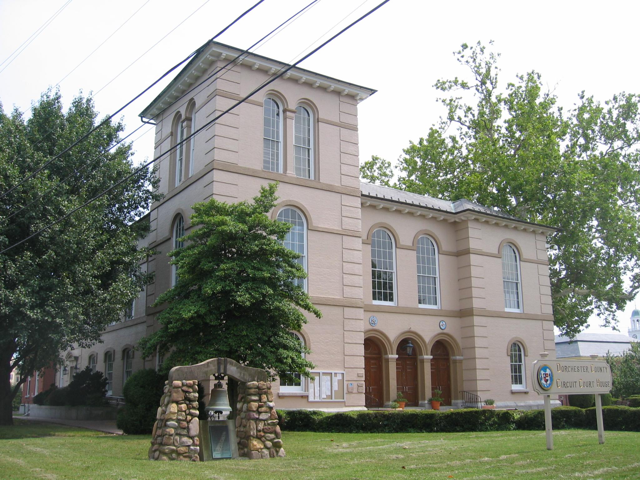
38°32′59″N 76°15′05″W / 38.549722°N 76.251389°WCambridge 6 Dorchester County Courthouse and Jail 
December 16, 1982 206 High St.
38°34′18″N 76°04′34″W / 38.571667°N 76.076111°WCambridge 7 East New Market Historic District October 1, 1975 Maryland Routes 14 and 16
38°35′53″N 75°55′25″W / 38.598056°N 75.923611°WEast New Market 8 K. B. Fletcher Mill December 14, 1978 Address Restricted East New Market 9 Friendship Hall October 18, 1973 Off Maryland Route 14
38°35′41″N 75°55′28″W / 38.594722°N 75.924444°WEast New Market 10 Glasgow October 8, 1976 1500 Hambrooks Boulevard
38°34′58″N 76°05′08″W / 38.582778°N 76.085556°WCambridge 11 Glen Oak Hotel September 8, 1983 201 Academy St.
38°38′07″N 75°51′54″W / 38.635278°N 75.865°WHurlock 12 Goldsborough House December 29, 1988 200 High St.
38°34′21″N 76°04′33″W / 38.5725°N 76.075833°WCambridge 13 Grace Episcopal Church Complex July 24, 1979 Hooper Neck Rd.
38°28′15″N 76°18′32″W / 38.470833°N 76.308889°WTaylors Island 14 Handsell March 26, 2008 4835 Vienna Rhodesdale Rd.
38°30′39″N 75°48′44″W / 38.510833°N 75.812222°WVienna 15 Hooper Island Light Station 
December 2, 2002 Approximately 5 miles south of Cove Pt
38°15′22″N 76°15′00″W / 38.256111°N 76.25°WHoopersville 16 LaGrange 
January 24, 1980 904 LaGrange Ave.
38°33′59″N 76°03′36″W / 38.566389°N 76.06°WCambridge 17 Annie Oakley House May 7, 1996 28 Bellevue Ave.
38°35′22″N 76°05′23″W / 38.589444°N 76.089722°WCambridge 18 PATRICIA (log canoe) September 18, 1985 903 Roslyn Ave.
38°33′53″N 76°03′41″W / 38.564722°N 76.061389°WCambridge 19 Rehoboth November 9, 1972 Western side of Punkum Rd.
38°35′14″N 75°47′48″W / 38.587222°N 75.796667°WEldorado 20 Ridgeton Farm October 5, 1977 Southwest of Taylor Island on Bay Shore Rd.
38°27′39″N 76°18′24″W / 38.460833°N 76.306667°WTaylors Island 21 Stanley Institute 
September 11, 1975 South of Cambridge on Maryland Route 16
38°32′42″N 76°06′27″W / 38.545°N 76.1075°WCambridge 22 Sycamore Cottage March 30, 1988 417 High St.
38°34′12″N 76°04′46″W / 38.57°N 76.079444°WCambridge 23 Willin Village Archeological Site May 12, 1975 Address Restricted Eldorado 24 Yarmouth March 29, 1978 Southeast of Cambridge on Bestpitch Ferry Rd.
38°26′12″N 76°00′10″W / 38.436667°N 76.002778°WCambridge See also
- List of National Historic Landmarks in Maryland
- National Register of Historic Places listings in Maryland
References
- ^ The latitude and longitude information provided in this table was derived originally from the National Register Information System, which has been found to be fairly accurate for about 99% of listings. For about 1% of NRIS original coordinates, experience has shown that one or both coordinates are typos or otherwise extremely far off; some corrections may have been made. A more subtle problem causes many locations to be off by up to 150 yards, depending on location in the country: most NRIS coordinates were derived from tracing out latitude and longitudes off of USGS topographical quadrant maps created under the North American Datum of 1927, which differs from the current, highly accurate WGS84 GPS system used by Google maps. Chicago is about right, but NRIS longitudes in Washington are higher by about 4.5 seconds, and are lower by about 2.0 seconds in Maine. Latitudes differ by about 1.0 second in Florida. Some locations in this table may have been corrected to current GPS standards.
- ^ "National Register of Historic Places: Weekly List Actions". National Park Service, United States Department of the Interior. Retrieved on November 10, 2011.
- ^ Numbers represent an ordering by significant words. Various colorings, defined here, differentiate National Historic Landmark sites and National Register of Historic Places Districts from other NRHP buildings, structures, sites or objects.
- ^ "National Register Information System". National Register of Historic Places. National Park Service. . http://nrhp.focus.nps.gov/natreg/docs/All_Data.html.
U.S. National Register of Historic Places in Maryland Lists by county Allegany • Anne Arundel • Baltimore County • Calvert • Caroline • Carroll • Cecil • Charles • Dorchester • Frederick • Garrett • Harford • Howard • Kent • Montgomery • Prince George's • Queen Anne's • Somerset • St. Mary's • Talbot • Washington • Wicomico • Worcester

Lists by city Other lists Municipalities and communities of Dorchester County, Maryland City 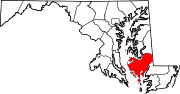
Towns Brookview | Church Creek | East New Market | Eldorado | Galestown | Hurlock | Secretary | Vienna
CDP Other
communitiesAirey | Bishops Head | Crapo | Crocheron | Elliott-Salem | Fishing Creek | Hoopersville | Linkwood | Madison | Reliance‡ | Rhodesdale | Taylors Island | Toddville | Waddells Corner | Whitehall | Williamsburg | Wingate | Woolford
Footnotes ‡This populated place also has portions in an adjacent county or counties
Categories:- National Register of Historic Places in Maryland by county
- Dorchester County, Maryland
-


Wikimedia Foundation. 2010.