- National Register of Historic Places listings in Carroll County, Maryland
-
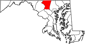 Location of Carroll County in Maryland
This is a list of the National Register of Historic Places listings in Carroll County, Maryland.
This is intended to be a complete list of the properties and districts on the National Register of Historic Places in Carroll County, Maryland, United States. Latitude and longitude coordinates are provided for many National Register properties and districts; these locations may be seen together in a Google map.[1]
There are 61 properties and districts listed on the National Register in the county, including 1 National Historic Landmark.
Contents: Counties in Maryland Allegany - Anne Arundel - Baltimore (city) - Baltimore County - Calvert - Caroline - Carroll - Cecil - Charles - Dorchester - Frederick - Garrett - Harford - Howard - Kent - Montgomery - Prince George's - Queen Anne's - Somerset - St. Mary's - Talbot - Washington - Wicomico - Worcester -
- This National Park Service list is complete through NPS recent listings posted November 10, 2011.[2]
Current listings
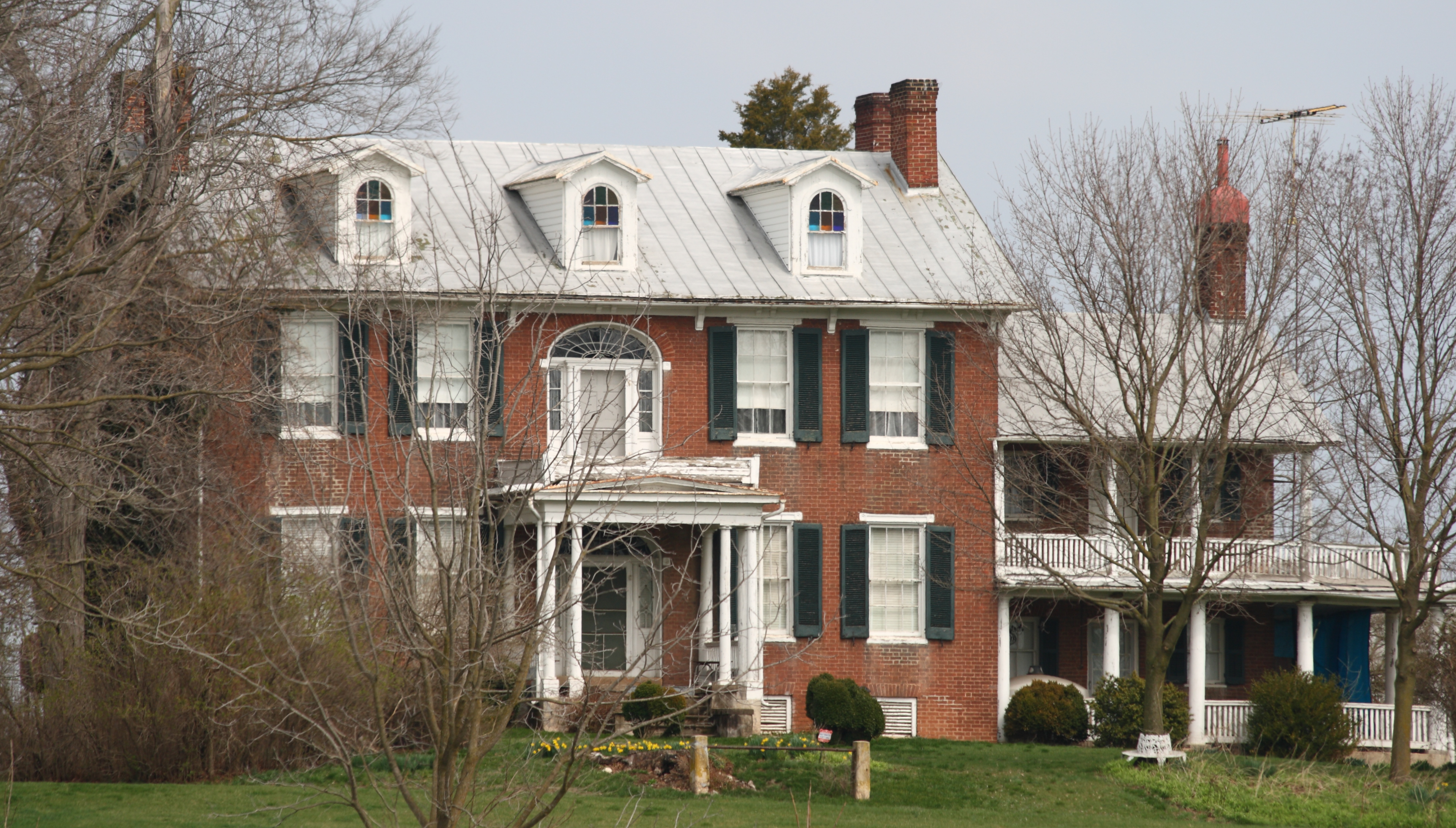
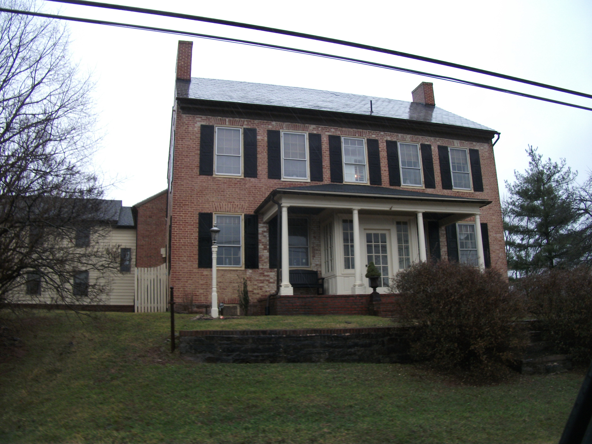
[3] Landmark name [4] Image Date listed Location City or town Summary 1 Antrim September 16, 1977 South of Taneytown on Uniontown Rd.
39°39′15″N 77°10′29″W / 39.654167°N 77.174722°WTaneytown 2 Appler-Englar House April 5, 2001 916 Winter's Church Rd.
39°33′13″N 77°07′42″W / 39.553611°N 77.128333°WNew Windsor 3 Philip and Uriah Arter Farm December 12, 2006 10 Deep Run Rd., W.
39°40′10″N 77°00′50″W / 39.669522°N 77.013956°WUnion Mills 4 Solomon Arter House September 10, 1987 4029 Geeting Rd.
39°41′11″N 76°59′27″W / 39.686389°N 76.990833°WUnion Mills 5 Avalon September 3, 1987 Maryland Route 31
39°32′30″N 77°05′38″W / 39.541667°N 77.093889°WNew Windsor 6 Avondale October 10, 1975 2.5 miles southwest of Westminster on Maryland Route 31
39°33′33″N 77°01′49″W / 39.559167°N 77.030278°WWestminster 7 Bennett-Kelly Farm December 23, 2004 5842 Oakland Rd.
39°24′51″N 76°53′46″W / 39.414167°N 76.896111°WSykesville 8 William and Catherine Biggs Farm November 2, 2001 8212 Sixes Bridge Rd.
39°37′40″N 77°17′12″W / 39.627778°N 77.286667°WDetour 9 Branton Manor 
August 18, 1978 2819 Old Liberty Rd.
39°23′42″N 76°53′43″W / 39.395°N 76.895278°WSykesville 10 Moses Brown House 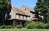
December 11, 1980 Southeast of Eldersburg at 7604 Ridge Rd.
39°23′18″N 76°55′36″W / 39.388333°N 76.926667°WEldersburg 11 Carroll County Almshouse and Farm December 4, 1975 500 S. Center St.
39°33′30″N 76°59′44″W / 39.558333°N 76.995556°WWestminster 12 Whittaker Chambers Farm May 17, 1988 E. Saw Mill Rd.
39°39′35″N 76°58′35″W / 39.659722°N 76.976389°WWestminster 13 Cold Saturday December 11, 2008 3251 Gamber Rd.
39°29′07″N 76°54′09″W / 39.485297°N 76.902392°WFinksburg 14 Englar-Schweigart-Rinehart Farm December 10, 2003 47 Rockland Rd.
39°34′50″N 77°02′20″W / 39.580556°N 77.038889°WWestminster 15 Christopher Erb House June 19, 1985 3333 Flickinger Rd.
39°39′52″N 77°05′06″W / 39.664444°N 77.085°WSilver Run 16 Farm Content June 20, 1975 On Old New Winsor Rd. off Maryland Route 31
39°33′31″N 77°02′30″W / 39.558611°N 77.041667°WWestminster 17 Friendship Valley Farm September 16, 1977 South of Westminster at 950 Gist Rd.
39°32′49″N 77°00′04″W / 39.546944°N 77.001111°WWestminster 18 Andrew P. Frizzell House and Farm Complex September 11, 1986 3801 Salem Bottom Rd.
39°27′30″N 77°03′08″W / 39.458333°N 77.052222°WWestminster 19 Hampstead School December 27, 2002 1211 N. Main St.
39°36′28″N 76°50′59″W / 39.607778°N 76.849722°WHampstead 20 Hard Lodging 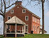
June 9, 1978 1 mile (1.6 km) east of Union Bridge on Ladiesburg Rd.
39°33′54″N 77°09′56″W / 39.565°N 77.165556°WUnion Bridge 21 Isaac Hoffman House July 25, 1985 364 Shamer Lane
39°35′18″N 76°53′20″W / 39.588333°N 76.888889°WHoucksville 22 Hopewell December 8, 1980 Pearre and Clemsonville Rds.
39°31′48″N 77°10′13″W / 39.53°N 77.170278°WUnion Bridge 23 Keefer-Brubaker Farm December 20, 2007 2719 Roop Rd.
39°39′22″N 77°12′13″W / 39.656111°N 77.203611°WTaneytown 24 Jacob Koons Farm May 25, 2011 1151 Otterdale Mill Rd.
39°36′37″N 77°10′12″W / 39.610278°N 77.17°WTaneytown vicinity 25 Lineboro Historic District November 15, 1996 Main St, Church to Mill Sts.
39°43′01″N 76°50′48″W / 39.716944°N 76.846667°WLineboro 26 Linwood Historic District September 27, 1980 McKinstry's Mill Rd.
39°33′39″N 77°08′30″W / 39.560833°N 77.141667°WLinwood 27 McKinstry's Mills Historic District April 16, 1997 1494, 1498, and 10904 McKinstry's Mill Rd., 4500 and 4504 Sam's Creek Rd.
39°32′03″N 77°10′12″W / 39.534167°N 77.17°WUnion Bridge 28 McMurray-Frizzell-Aldridge Farm April 13, 2001 3708 Baker Rd.
39°28′18″N 77°03′13″W / 39.471667°N 77.053611°WWestminster 29 Meadow Brook Farm July 25, 1985 1006 Taneytown Pike
39°35′31″N 77°01′52″W / 39.591944°N 77.031111°WWestminster 30 Mount Airy Historic District September 13, 1984 Roughly Main, Church, Maple, Park, Hill, and Warfield Sts.
39°22′31″N 77°09′21″W / 39.375278°N 77.155833°WMount Airy 31 Mt. Pleasant 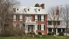
November 4, 1998 200 W. Locust St.
39°34′28″N 77°10′57″W / 39.574444°N 77.1825°WUnion Bridge 32 New Windsor Historic District August 21, 1997 Roughly bounded by Park, and Springdale Aves., New Windsor Rd., Lambert Ave., Coe Dr., and Maine St.
39°32′33″N 77°06′21″W / 39.5425°N 77.105833°WNew Windsor 33 Old National Pike Milestones November 27, 1975 U.S. Route 40, Alternate U.S. Route 40, and Scenic U.S. Route 40, and Maryland Routes 44 and 165
39°25′13″N 77°16′01″W / 39.420278°N 77.266944°WMount Airy 34 John Orendorff Farm March 7, 1997 412 Old Bachman's Valley Rd.
39°37′04″N 76°59′16″W / 39.617778°N 76.987778°WWestminster 35 Pipe Creek Friends Meetinghouse 
November 7, 1976 Quaker Hill Rd.
39°33′48″N 77°10′13″W / 39.563333°N 77.170278°WUnion Bridge 36 Rockland Farm August 21, 1986 201 Rockland Rd.
39°34′30″N 77°02′50″W / 39.575°N 77.047222°WWestminster 37 Roop's Mill October 31, 2008 1001 and 1019 Taneytown Pike
39°35′30″N 77°02′02″W / 39.59180°N 77.03383°WWestminster 38 Christian Royer House November 7, 1979 North of Westminster on Fridinger Mill Rd.
39°37′32″N 76°57′57″W / 39.625556°N 76.965833°WWestminster 39 Ludwick Rudisel Tannery House 
November 10, 1980 65 Frederick St.
39°39′27″N 77°10′45″W / 39.6575°N 77.179167°WTaneytown 40 Robert and Phyllis Scott House December 23, 2004 1805 Uniontown Rd.
39°35′12″N 77°03′40″W / 39.586667°N 77.061111°WWestminster 41 Jacob F. Shaffer Farm October 22, 1998 4758 Schalk Road One
39°42′N 76°50′W / 39.7°N 76.83°WMillers 42 Slagle-Byers House June 21, 2007 1624 Littlestown Pike
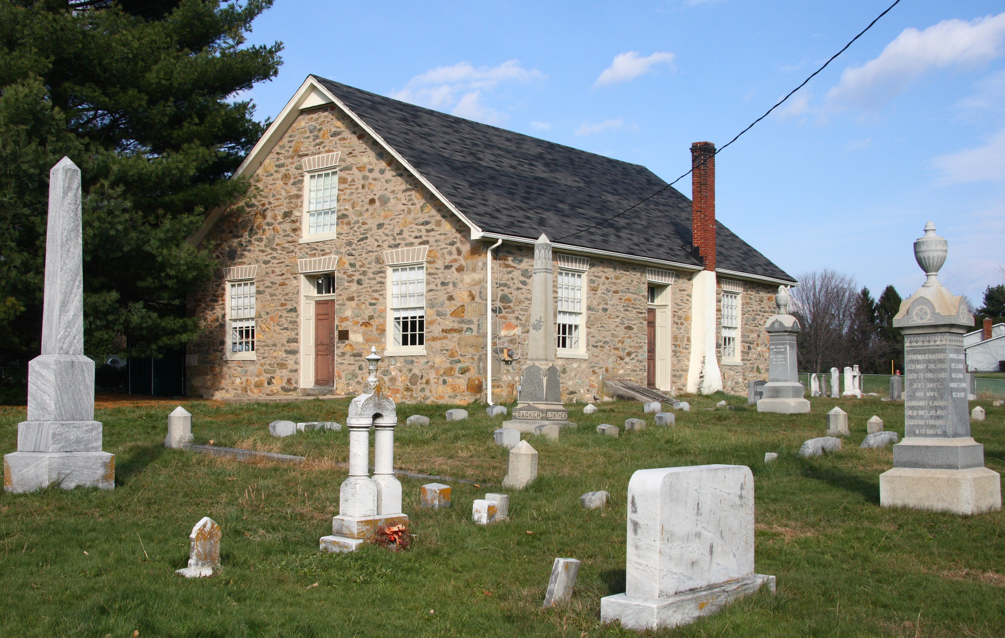
39°37′17″N 76°59′51″W / 39.621389°N 76.9975°WWestminster 43 Springfield Presbyterian Church 
July 31, 1986 7300 Spout Hill Rd.
39°22′27″N 76°58′24″W / 39.374167°N 76.973333°WSykesville 44 Stoner-Saum Farm December 6, 1996 1500 McKinstry's Mill Rd.
39°32′05″N 77°09′54″W / 39.534722°N 77.165°WUnion Bridge 45 Sykesville Historic District 
September 25, 1985 Main St. and Springfield, Norwood, and Mellor Aves.
39°22′05″N 76°58′09″W / 39.368056°N 76.969167°WSykesville 46 Taneytown Historic District 
October 9, 1986 Maryland Routes 140 and 194
39°39′30″N 77°10′26″W / 39.658333°N 77.173889°WTaneytown 47 Taylor-Manning-Leppo House July 15, 2009 2600 Patapsco Rd.
39°32′27″N 76°54′00″W / 39.540872°N 76.900119°WFinksburg 48 Terra Rubra 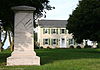
July 24, 1978 1 mile (1.6 km) south of Keysville
39°37′30″N 77°14′56″W / 39.625°N 77.248889°WKeysville 49 Trevanion 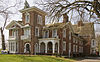
September 15, 1977 3 miles northwest of Uniontown on Trevanion Rd.
39°37′28″N 77°07′01″W / 39.624444°N 77.116944°WUniontown 50 Union Bridge Historic District August 17, 1994 Roughly bounded by Bellevue, E. Locust, Buttersburg Alley, Church, Whyte, W. Locust, and the Western Maryland Railway tracks
39°34′03″N 77°10′40″W / 39.5675°N 77.177778°WUnion Bridge 51 Union Bridge Station 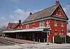
November 7, 1976 Main St.
39°34′14″N 77°10′39″W / 39.570556°N 77.1775°WUnion Bridge Operated by the Western Maryland Railway 52 Union Mills Homestead Historic District January 25, 1971 Junction of U.S. Route 140 and Deep Run Rd.
39°40′14″N 77°00′58″W / 39.670556°N 77.016111°WWestminster 53 Uniontown Academy August 14, 1973 Uniontown Rd.
39°35′32″N 77°10′57″W / 39.592222°N 77.1825°WUniontown 54 Uniontown Historic District January 3, 1986 Uniontown and Trevanion Rds.
39°35′40″N 77°06′55″W / 39.594444°N 77.115278°WUniontown 55 Warfield Complex, Hubner, and T Buildings 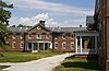
November 2, 2000 Springfield Hospital Center
39°22′23″N 76°57′41″W / 39.373056°N 76.961389°WSykesville 56 Weaver-Fox House November 20, 1975 3411 Main St. (Uniontown Rd.)
39°35′36″N 77°06′53″W / 39.593333°N 77.114722°WUniontown 57 Wesley Chapel Methodist Episcopal Church 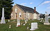
March 22, 1984 Liberty and Johnsville Rds.
39°24′26″N 76°57′45″W / 39.407222°N 76.9625°WEldersburg 58 Western Maryland College Historic District March 26, 1976 W. Main and College Sts.
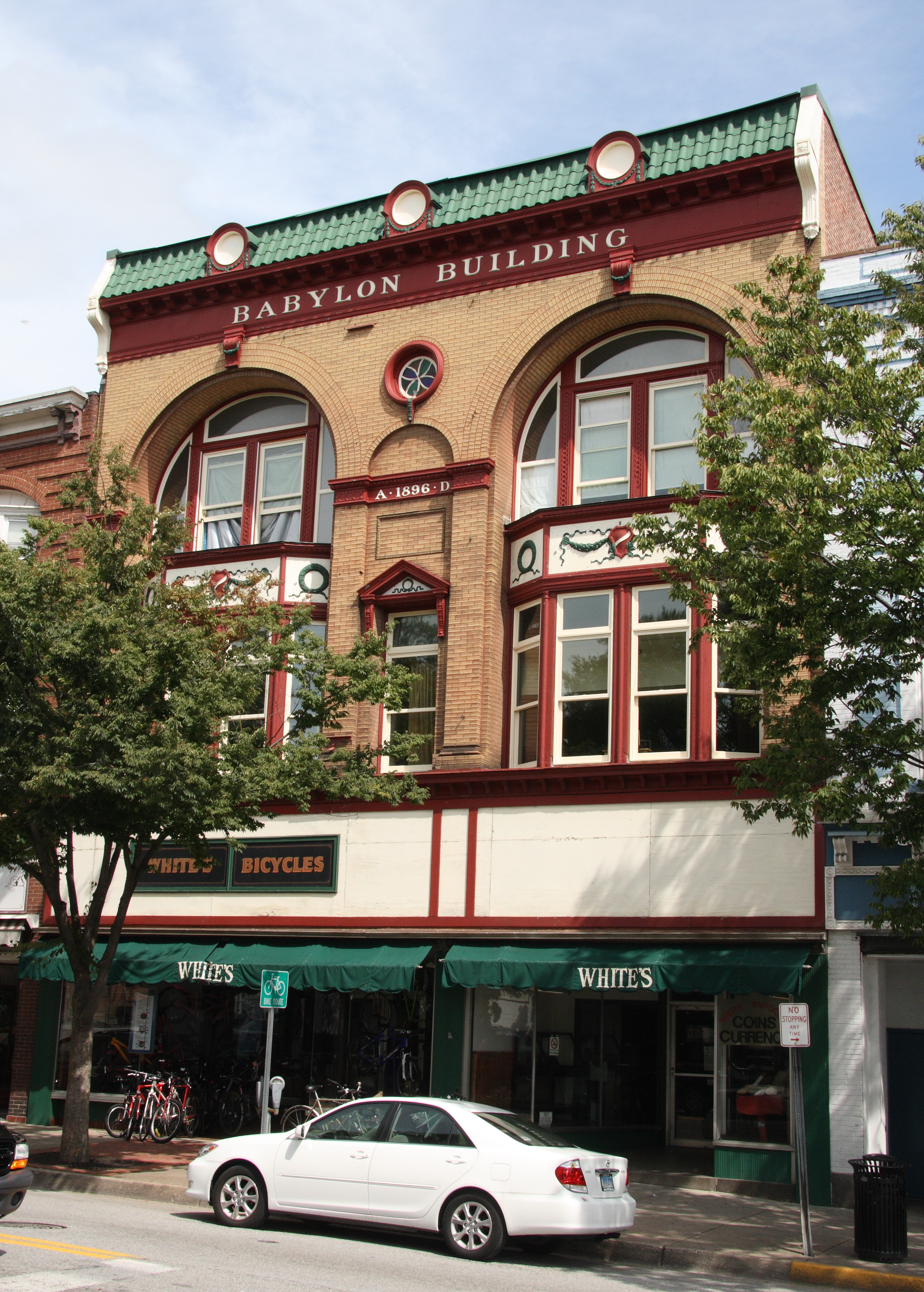
39°34′53″N 77°00′09″W / 39.581389°N 77.0025°WWestminster 59 Westminster Historic District 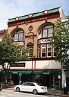
August 6, 1980 Maryland Routes 32 and 97
39°34′30″N 76°59′43″W / 39.575°N 76.995278°WWestminster 60 Wilson's Inheritance June 19, 1985 4400 Green Valley Rd.
39°34′16″N 77°09′35″W / 39.571111°N 77.159722°WUnion Bridge 61 Winemiller Family Farm August 30, 2006 1909 Francis Scott Key Highway (Maryland Route 194)
39°37′46″N 77°13′12″W / 39.629444°N 77.22°WTaneytown See also
- List of National Historic Landmarks in Maryland
- National Register of Historic Places listings in Maryland
References
- ^ The latitude and longitude information provided in this table was derived originally from the National Register Information System, which has been found to be fairly accurate for about 99% of listings. For about 1% of NRIS original coordinates, experience has shown that one or both coordinates are typos or otherwise extremely far off; some corrections may have been made. A more subtle problem causes many locations to be off by up to 150 yards, depending on location in the country: most NRIS coordinates were derived from tracing out latitude and longitudes off of USGS topographical quadrant maps created under the North American Datum of 1927, which differs from the current, highly accurate WGS84 GPS system used by Google maps. Chicago is about right, but NRIS longitudes in Washington are higher by about 4.5 seconds, and are lower by about 2.0 seconds in Maine. Latitudes differ by about 1.0 second in Florida. Some locations in this table may have been corrected to current GPS standards.
- ^ "National Register of Historic Places: Weekly List Actions". National Park Service, United States Department of the Interior. Retrieved on November 10, 2011.
- ^ Numbers represent an ordering by significant words. Various colorings, defined here, differentiate National Historic Landmark sites and National Register of Historic Places Districts from other NRHP buildings, structures, sites or objects.
- ^ "National Register Information System". National Register of Historic Places. National Park Service. . http://nrhp.focus.nps.gov/natreg/docs/All_Data.html.
U.S. National Register of Historic Places in Maryland Lists by county Allegany • Anne Arundel • Baltimore County • Calvert • Caroline • Carroll • Cecil • Charles • Dorchester • Frederick • Garrett • Harford • Howard • Kent • Montgomery • Prince George's • Queen Anne's • Somerset • St. Mary's • Talbot • Washington • Wicomico • Worcester

Lists by city Other lists Municipalities and communities of Carroll County, Maryland Cities 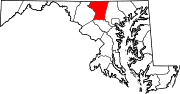
Towns Hampstead | Manchester | Mount Airy‡ | New Windsor | Sykesville | Union Bridge
CDP Other
communitiesAlesia | Carrollton | Carrolltowne | Detour | Fairhaven | Finksburg | Frizzelburg | Gaither | Gamber | Greenmount | Harney | Henryton | Houcksville | Keymar | Keysville | Jasontown | Lineboro | Linwood | Louisville | Mayberry | Mexico | Middleburg | Millers | New Mexico | Patapsco | Pleasant Valley | Silver Run | Union Mills | Uniontown | Woodbine | Woodstock
Footnotes ‡This populated place also has portions in an adjacent county
Categories:- National Register of Historic Places in Maryland by county
- Carroll County, Maryland
-


Wikimedia Foundation. 2010.