- National Register of Historic Places listings in Baltimore County, Maryland
-
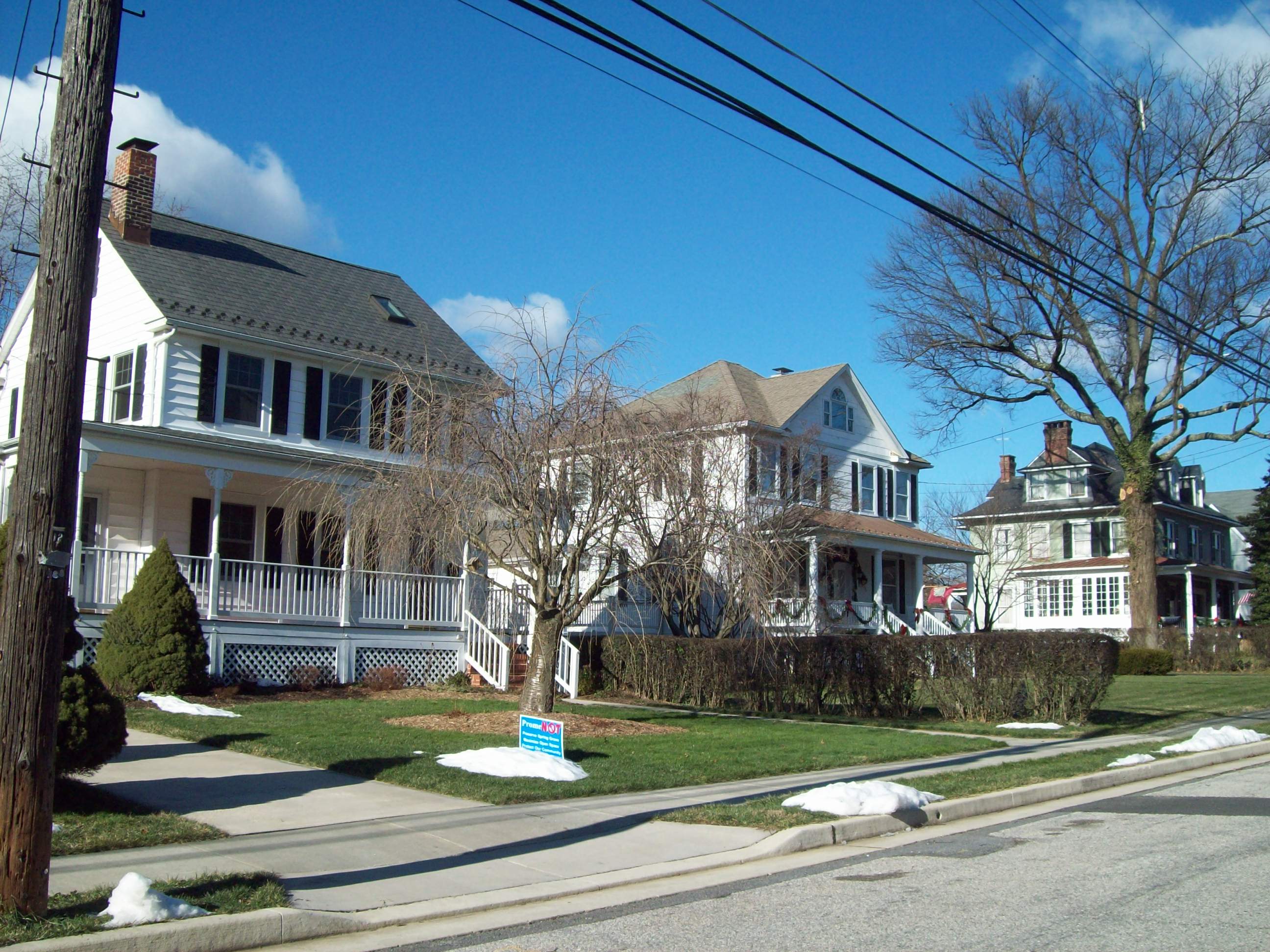
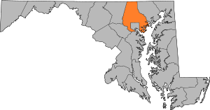 Location of Baltimore County in Maryland
This is a list of the National Register of Historic Places listings in Baltimore County, Maryland.
This is intended to be a complete list of the properties and districts on the National Register of Historic Places in Baltimore County, Maryland, United States. Latitude and longitude coordinates are provided for many National Register properties and districts; these locations may be seen together in a Google map.[1]
There are 84 properties and districts listed on the National Register in the county, including 2 National Historic Landmarks.
Contents: Counties in Maryland Allegany - Anne Arundel - Baltimore (city) - Baltimore County - Calvert - Caroline - Carroll - Cecil - Charles - Dorchester - Frederick - Garrett - Harford - Howard - Kent - Montgomery - Prince George's - Queen Anne's - Somerset - St. Mary's - Talbot - Washington - Wicomico - Worcester -
- This National Park Service list is complete through NPS recent listings posted November 10, 2011.[2]
Current listings
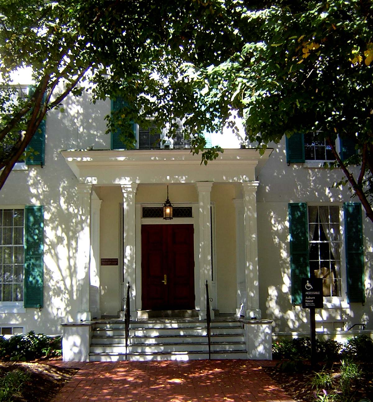
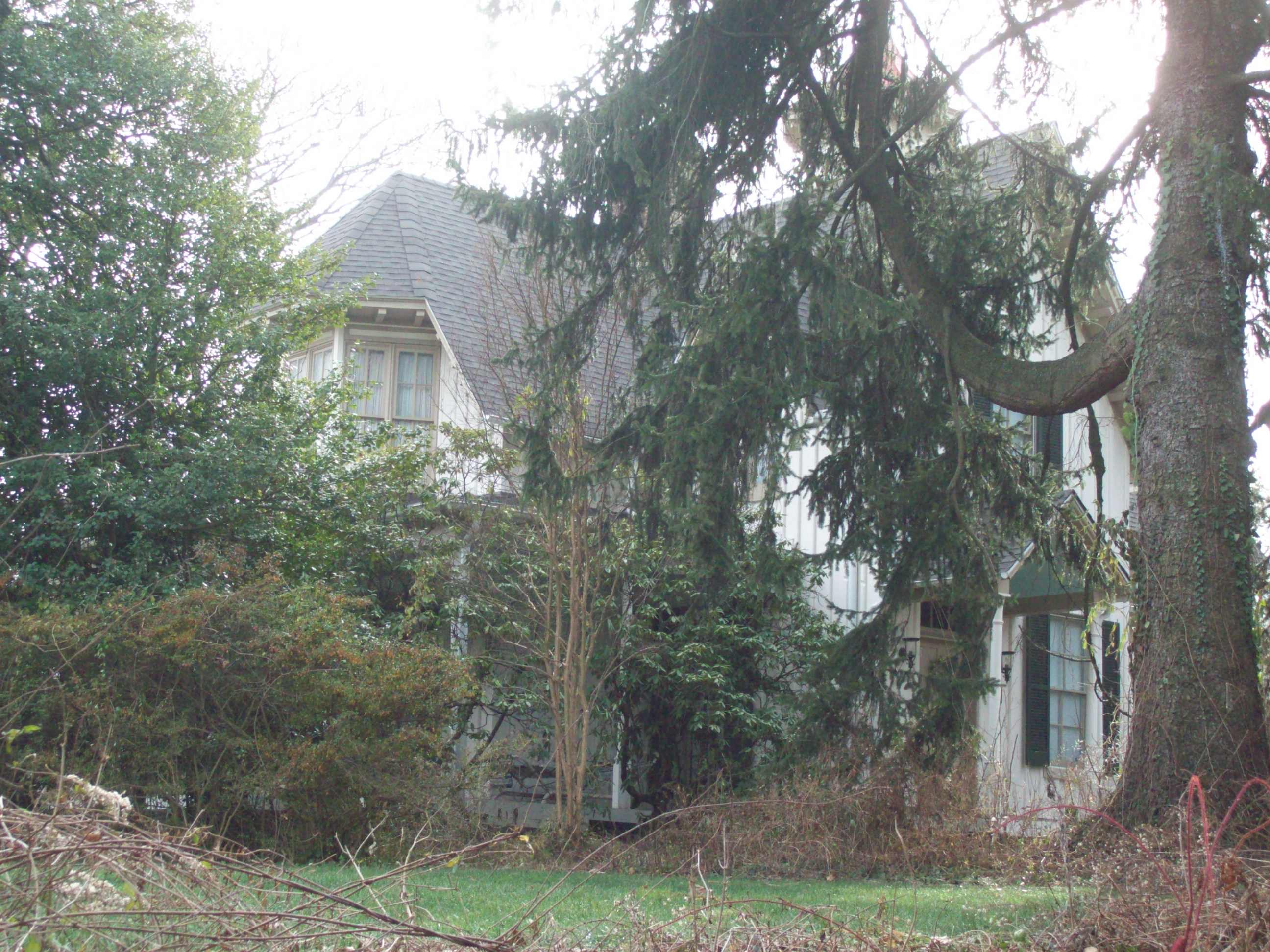
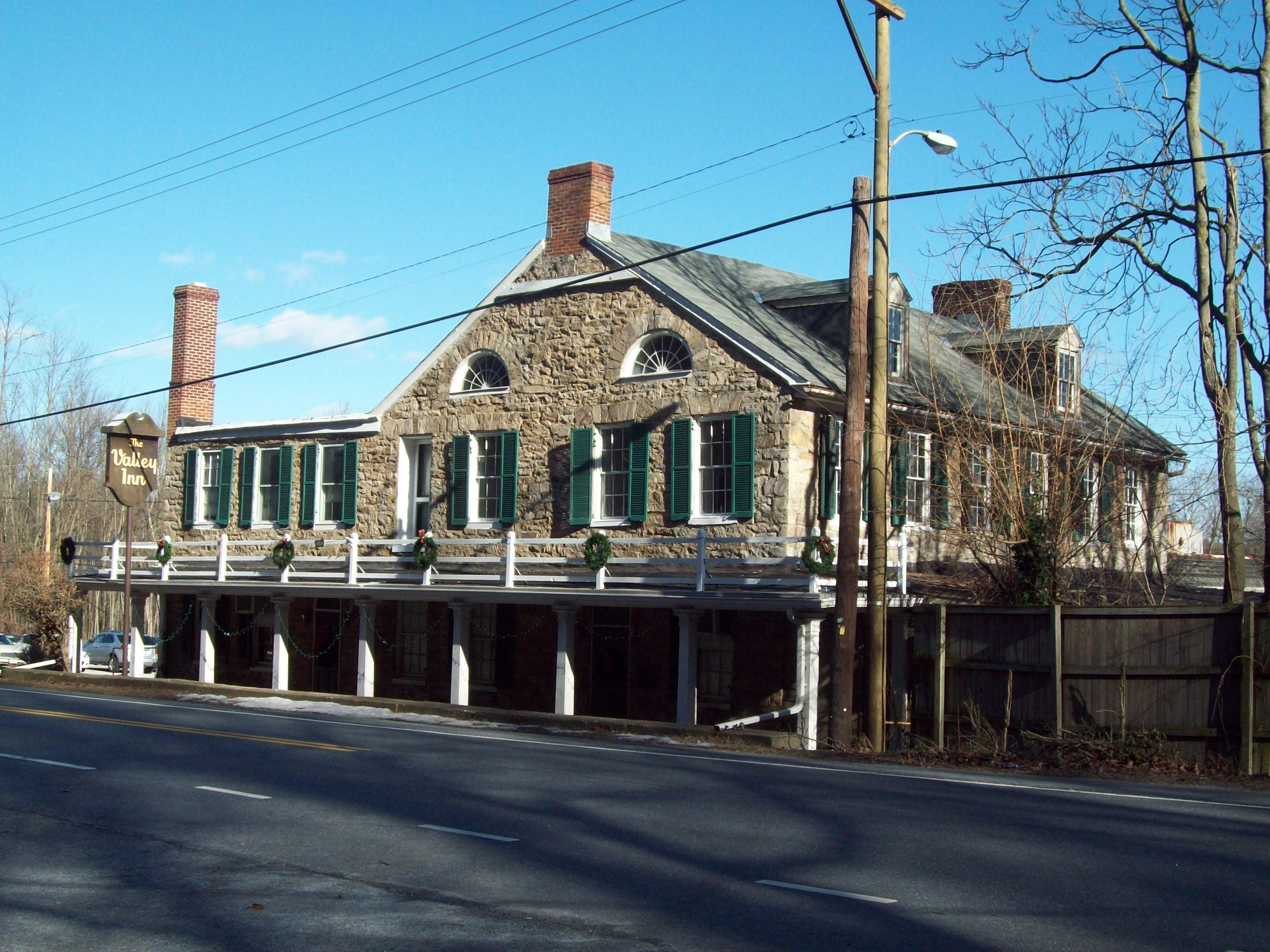
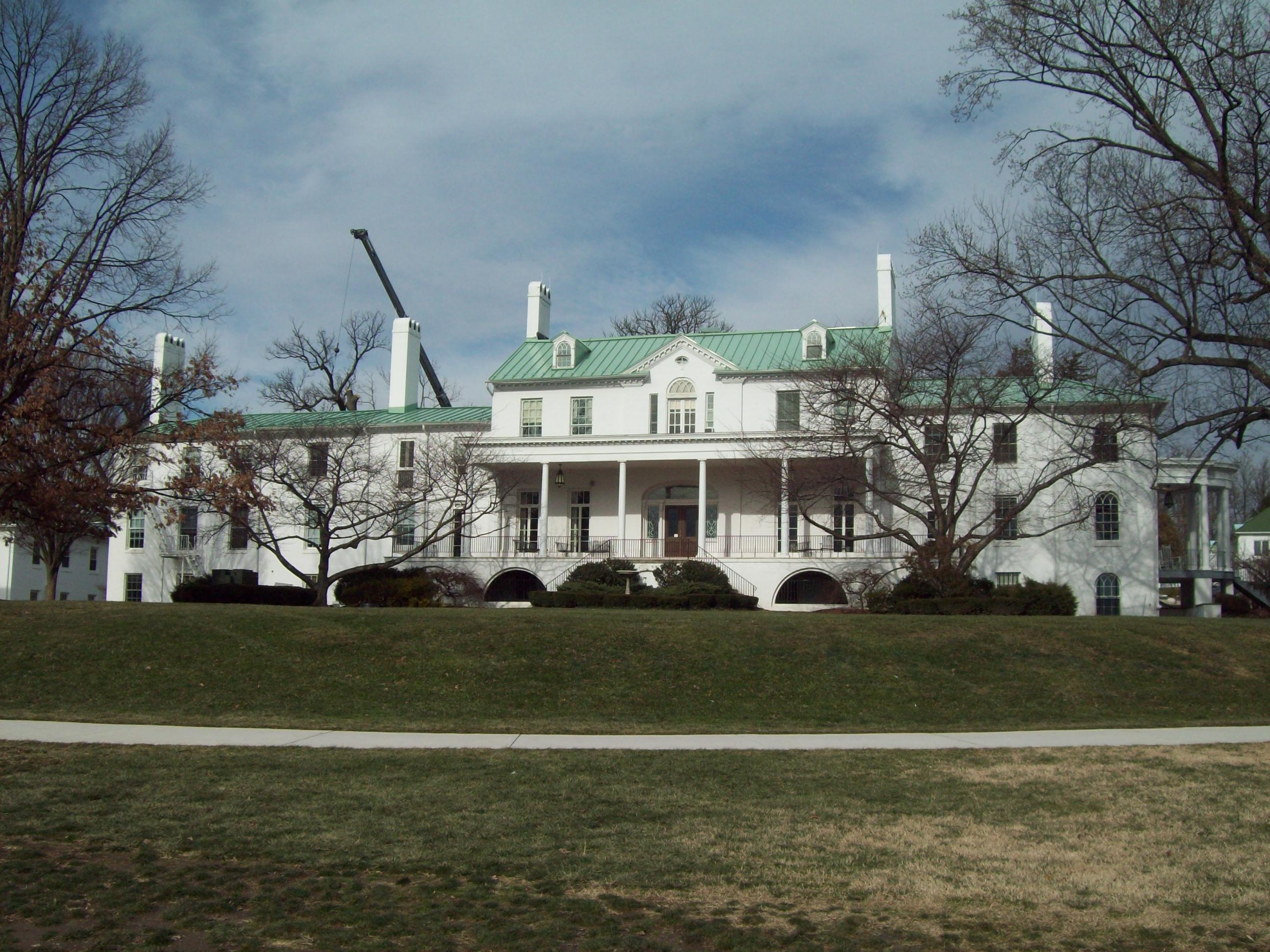
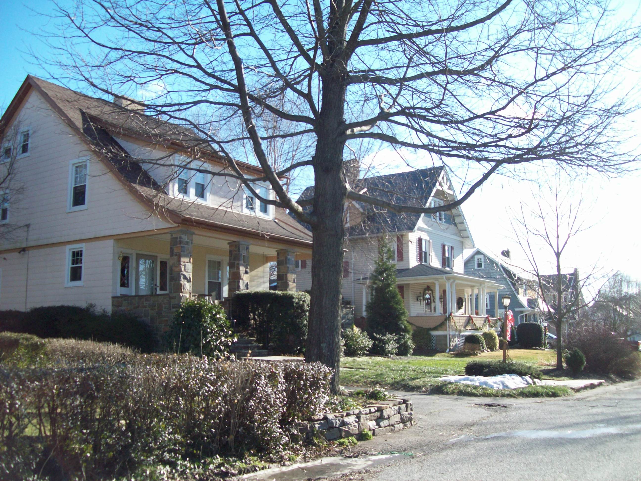
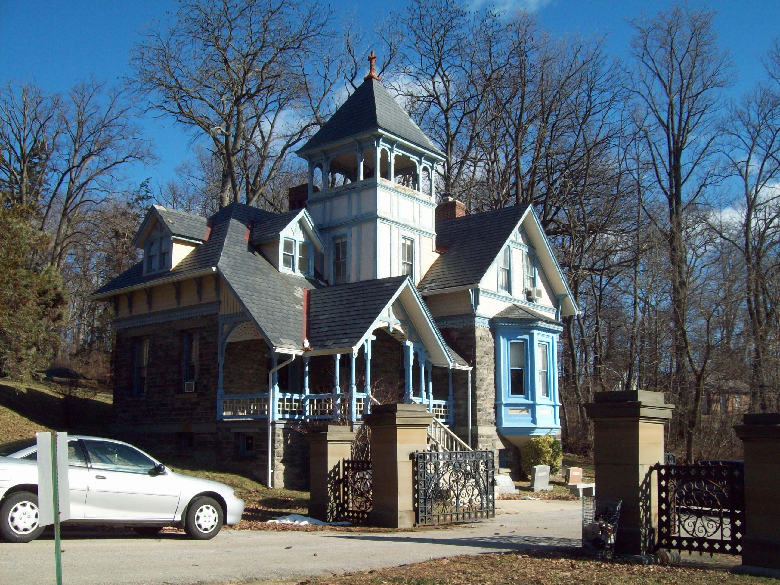
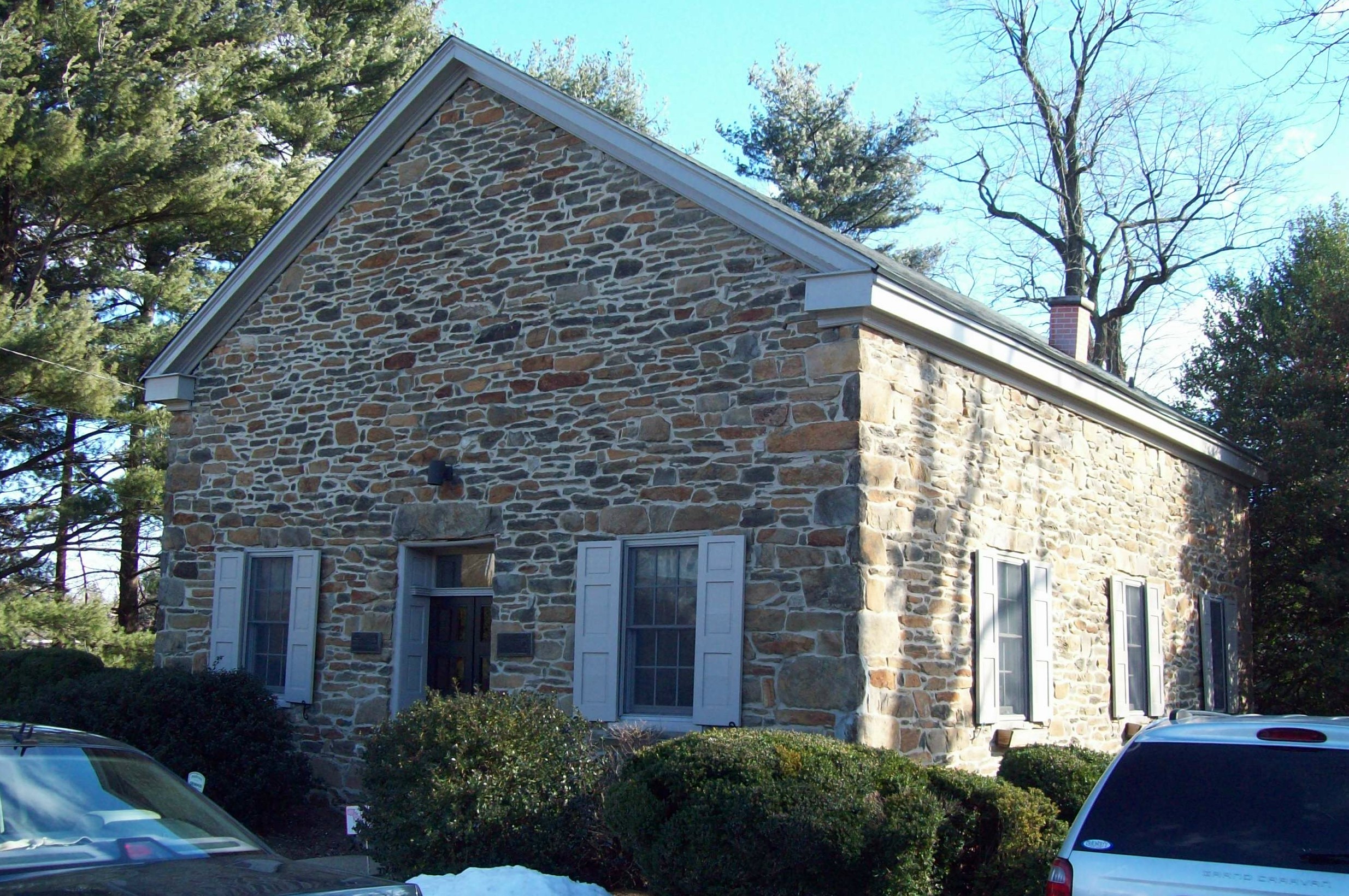
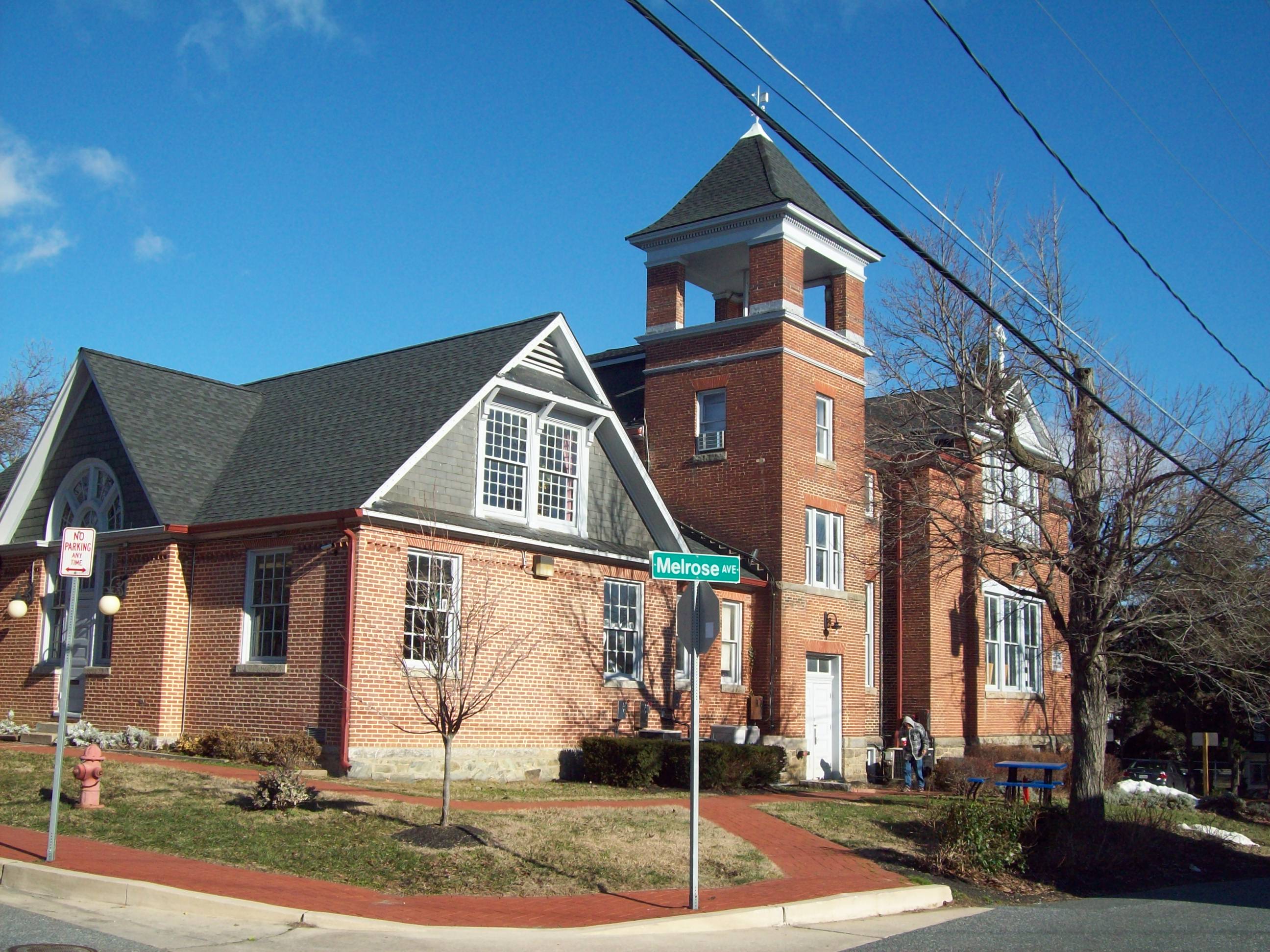
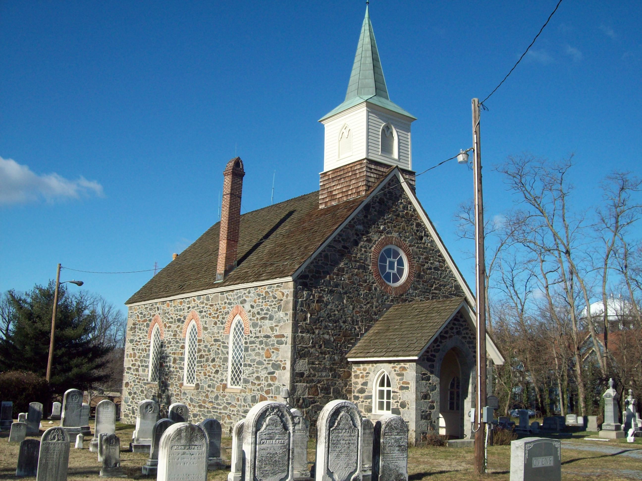
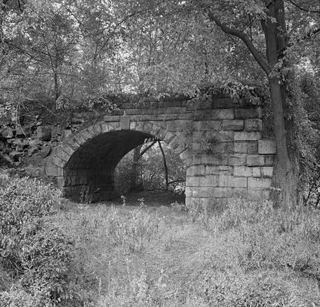
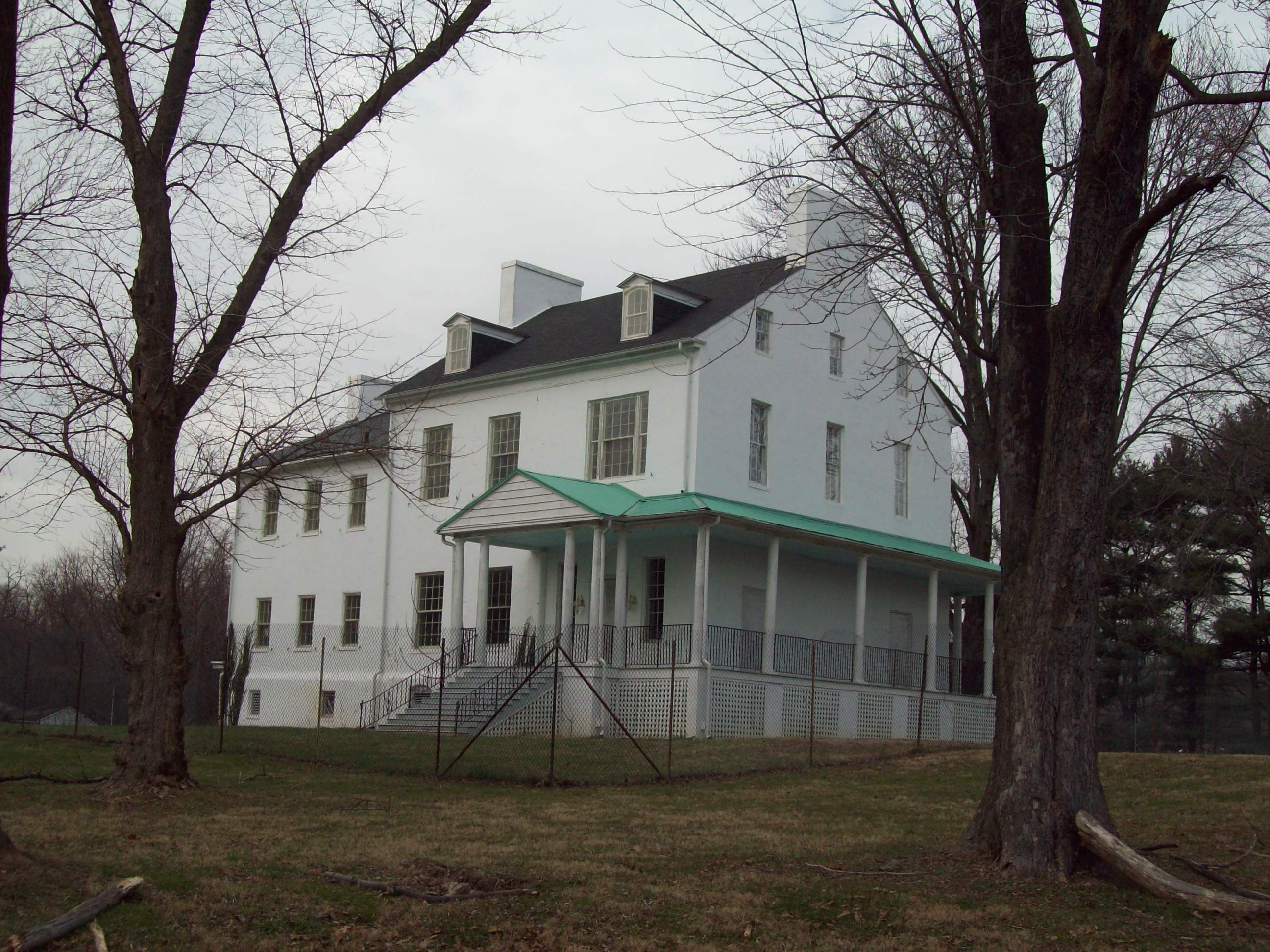
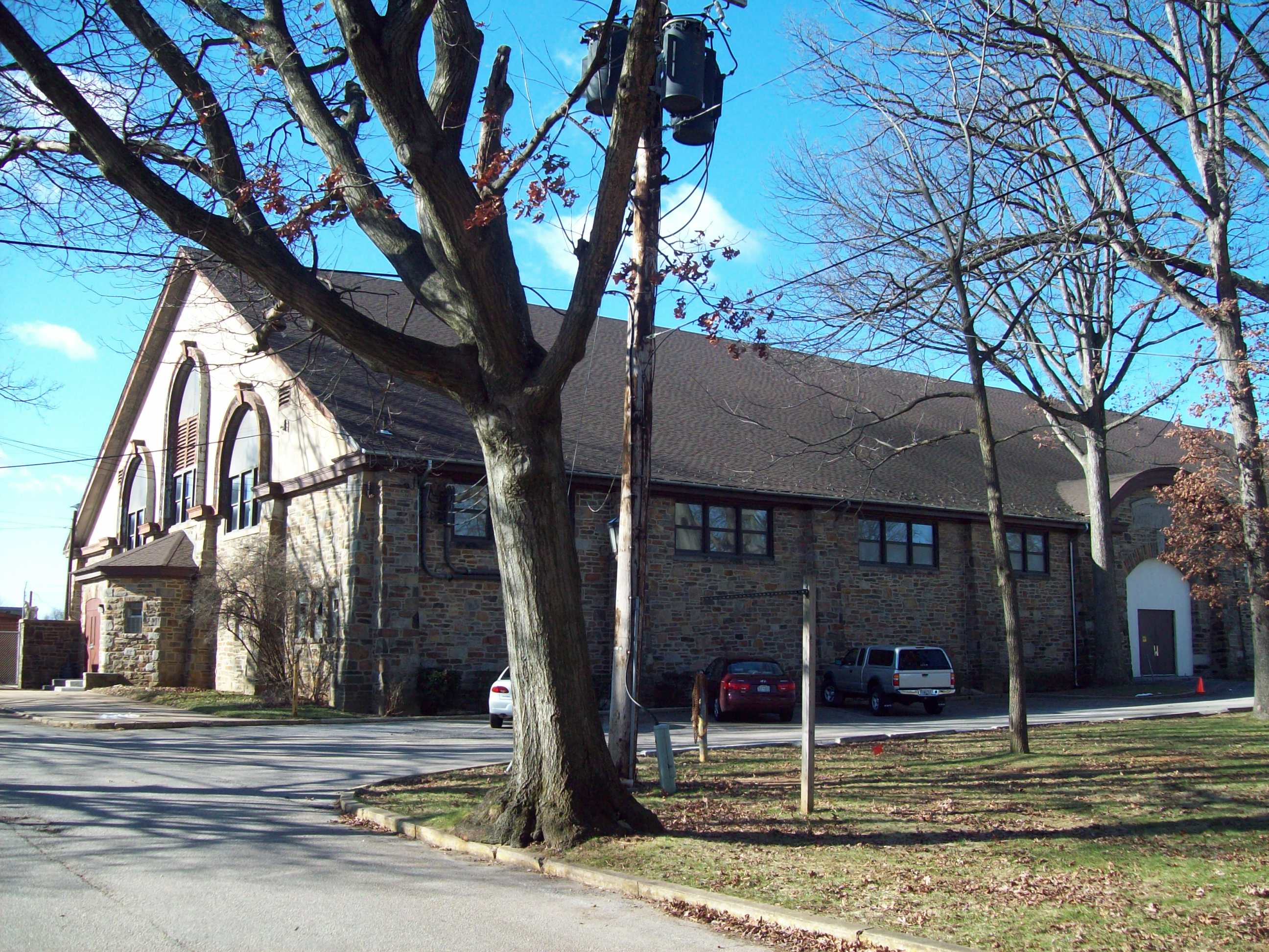
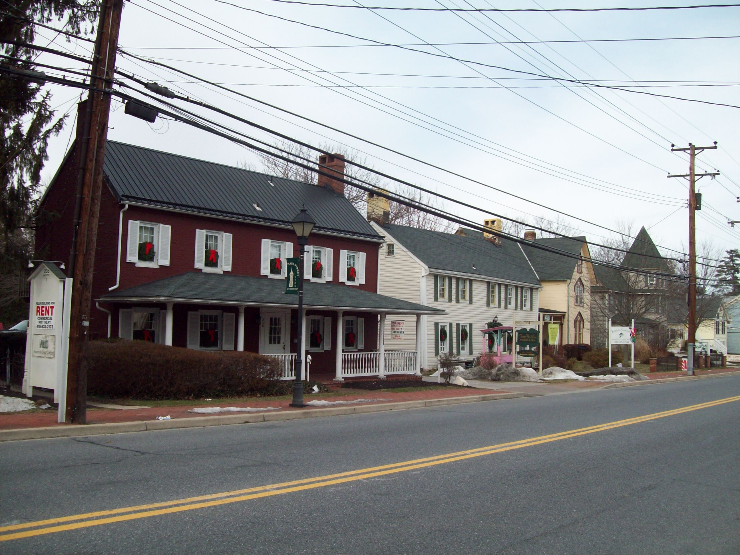
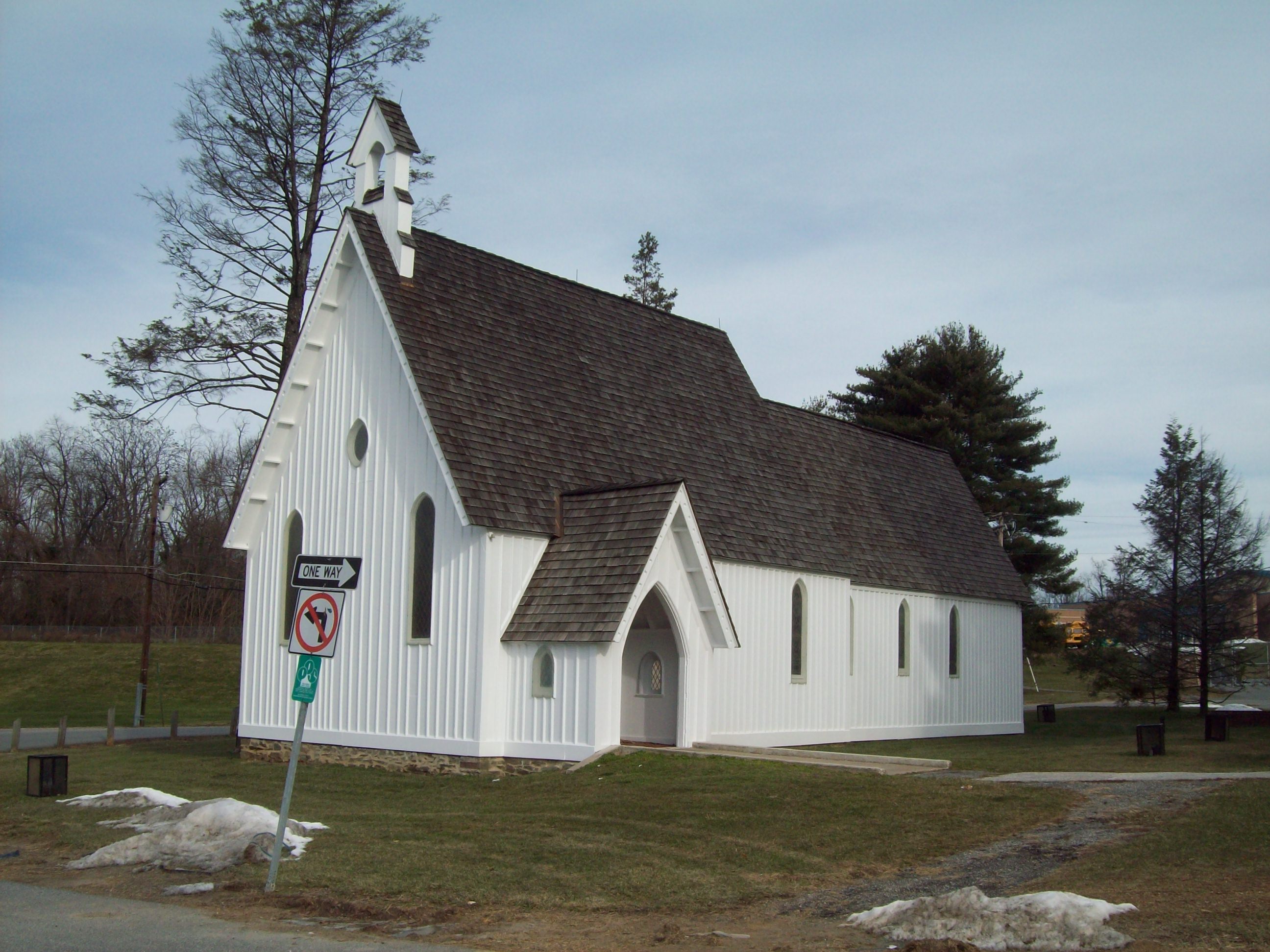
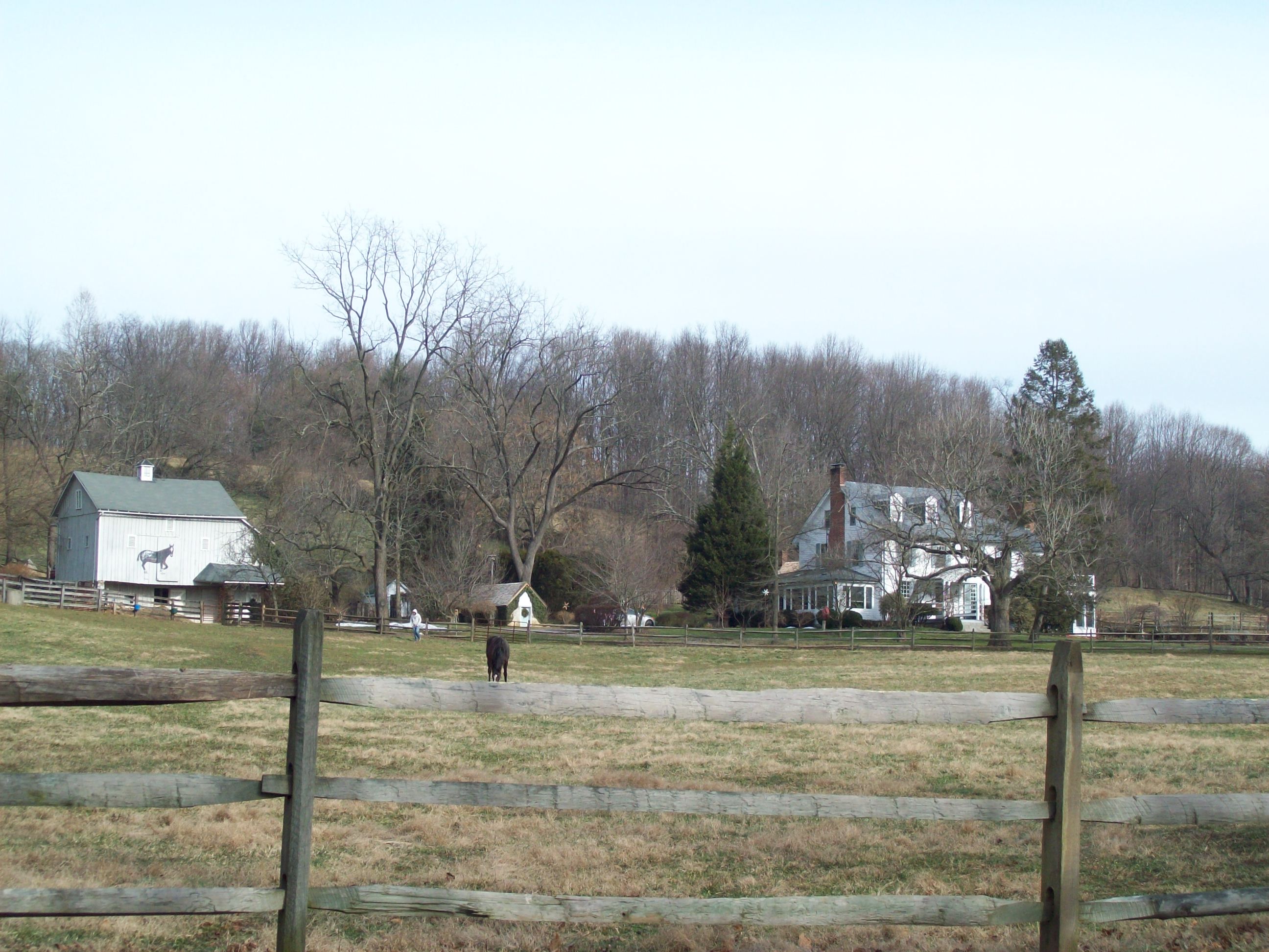
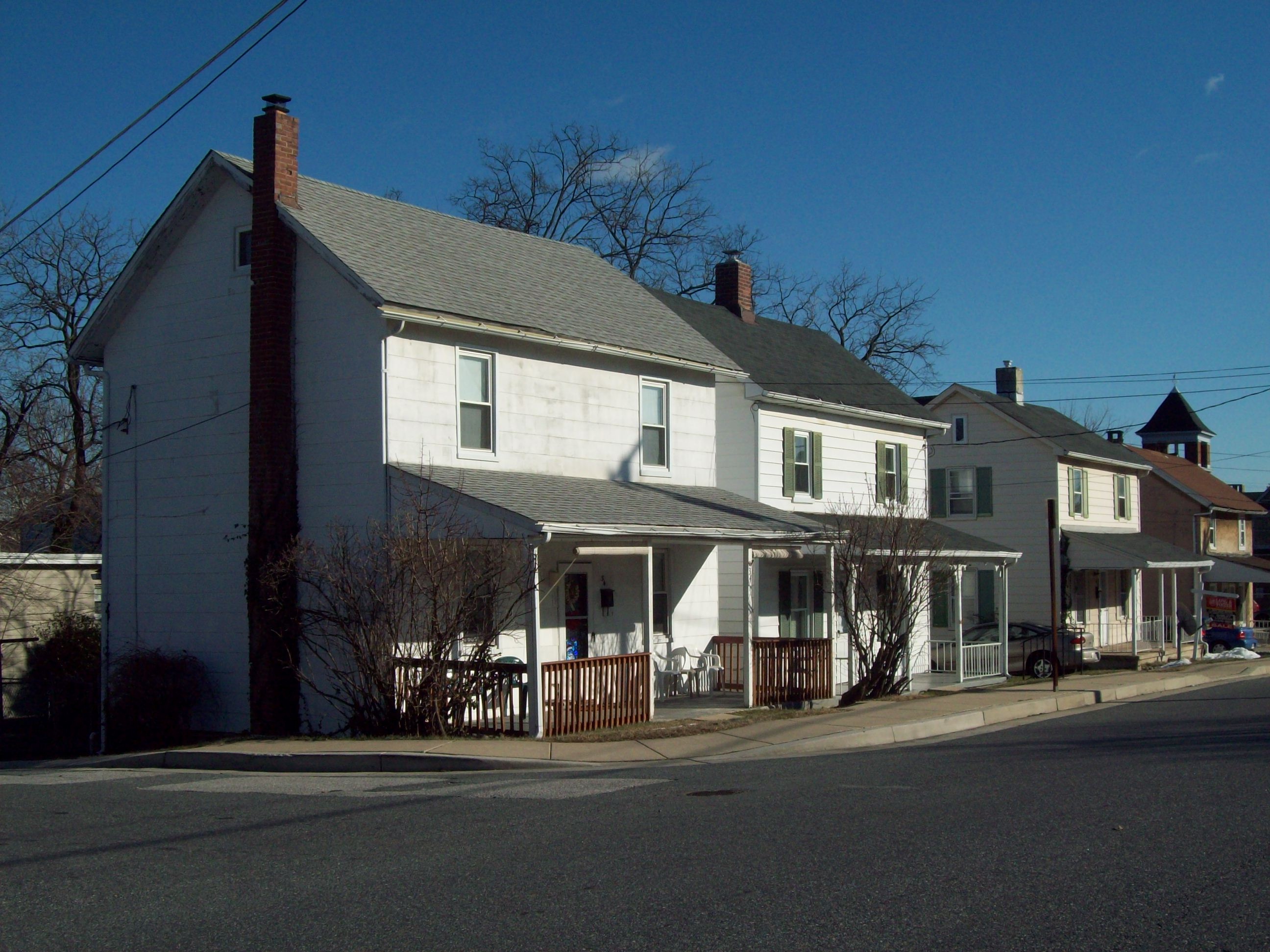
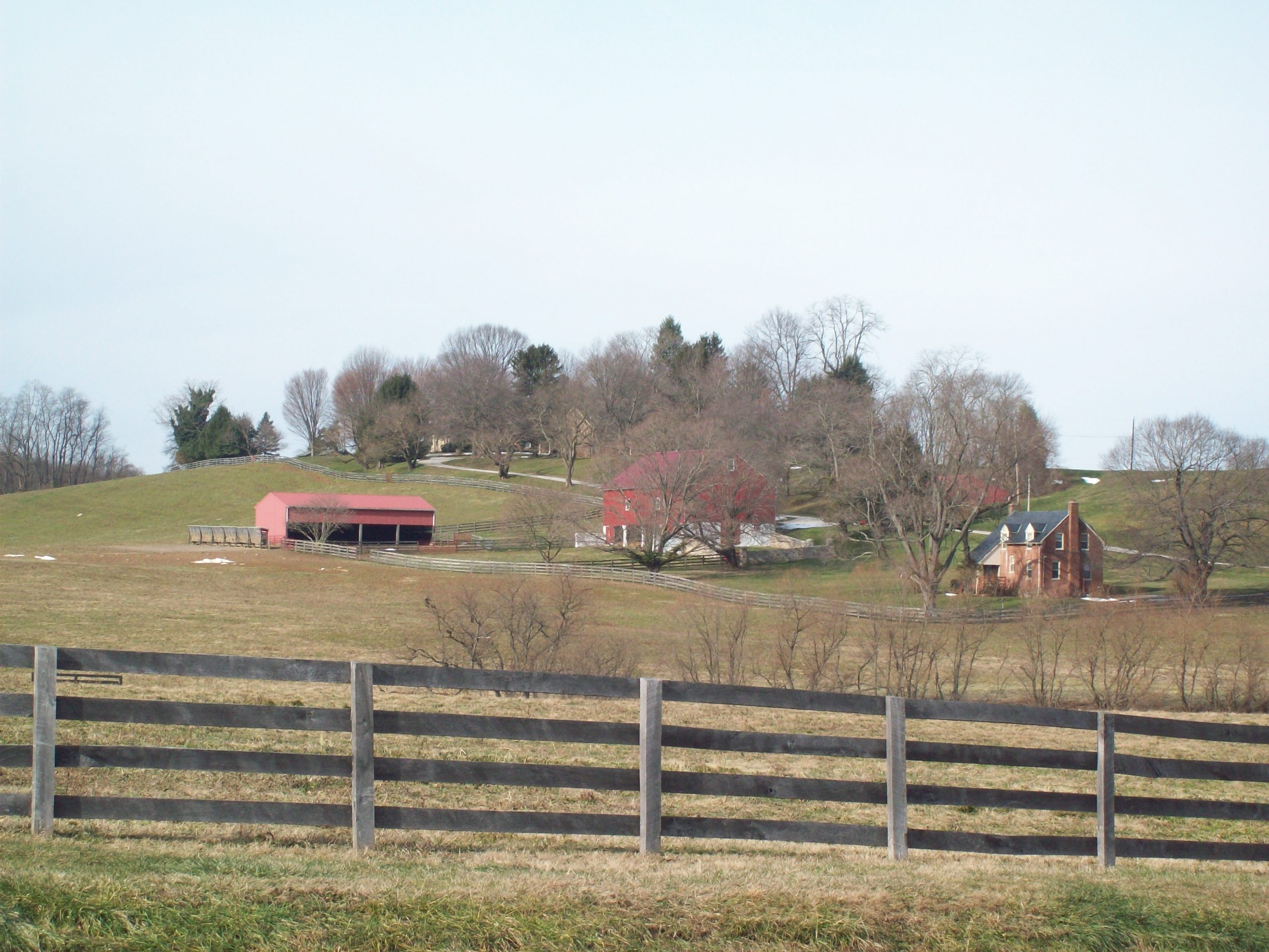
[3] Landmark name [4] Image Date listed Location City or town Summary 1 Auburn House 
March 17, 1975 Osler Dr. between Towsontown Boulevard and Stevenson Lane
39°23′10″N 76°36′49″W / 39.386111°N 76.613611°WTowson 2 Ballestone Mansion June 18, 1975 East of Essex on Back River Neck Rd. in Rocky Point Park
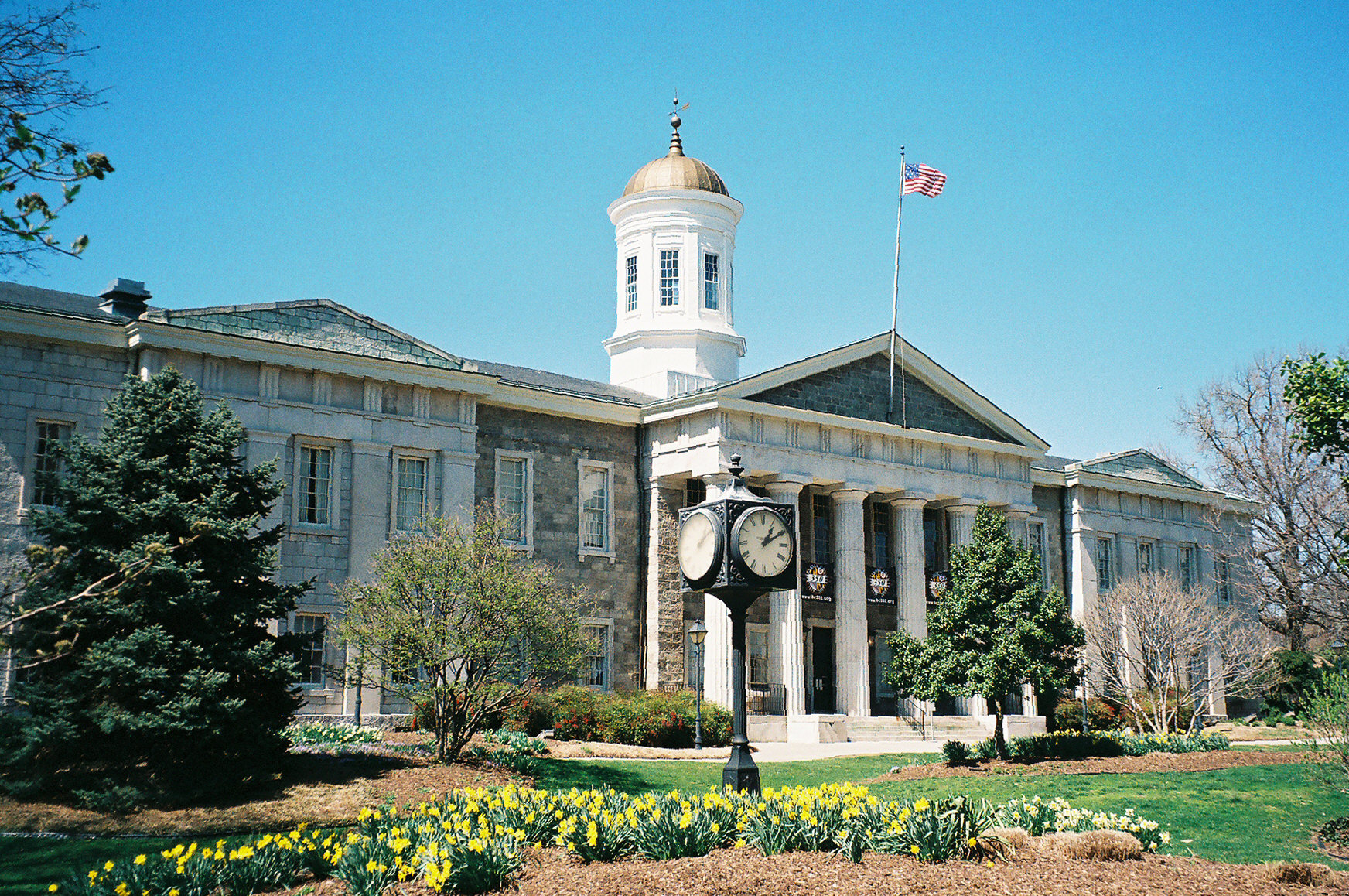
39°15′08″N 76°25′03″W / 39.252222°N 76.4175°WEssex 3 Baltimore County Courthouse 
October 27, 1972 Washington Ave. between Pennsylvania and Chesapeake Aves.
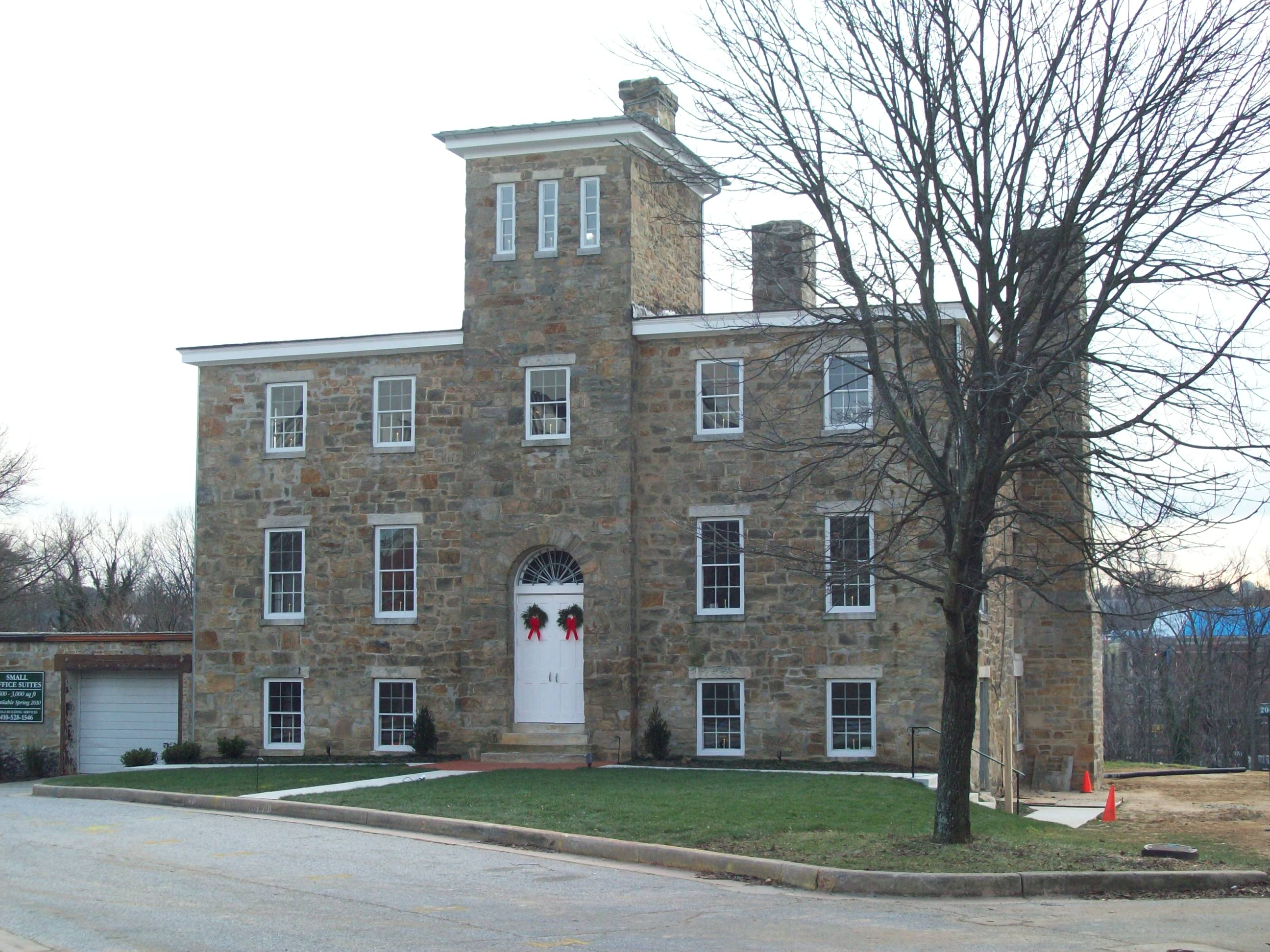
39°23′59″N 76°36′24″W / 39.399722°N 76.606667°WTowson 4 Baltimore County Jail 
August 26, 2009 222 Courthouse Court
39°23′52″N 76°36′29″W / 39.397778°N 76.607917°WTowson 5 Baltimore County School No. 7 
August 31, 2000 200 Ashland Rd.
39°29′43″N 76°38′32″W / 39.495278°N 76.642222°WCockeysville 6 Bare Hills House 
August 6, 1980 North of Baltimore at 6222 Falls Rd.
39°22′54″N 76°39′21″W / 39.381667°N 76.655833°WTowson 7 Brooklandville House 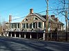
November 23, 1977 South of Brooklandville at Falls and Hillside Rds.
39°24′40″N 76°40′03″W / 39.411111°N 76.6675°WBrooklandville 8 Brooklandwood 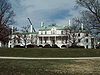
February 11, 1972 Falls Rd.
39°25′50″N 76°40′36″W / 39.430556°N 76.676667°WBrooklandville 9 Old Catonsville Historic District 
December 27, 2002 Between Edmondson, Frederick, Melvin, and Smithwood Aves.
39°16′20″N 76°44′40″W / 39.272222°N 76.744444°WCatonsville 10 Caves Valley Historic District October 20, 1988 Caves and Garrison Forest Rds., and Park Heights Ave.
39°26′30″N 76°44′53″W / 39.441667°N 76.748056°WOwings Mills 11 Central Catonsville and Summit Park Historic District 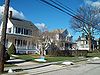
December 27, 2006 Between Frederick Rd., S. Rolling Rd., and Mellor Ave.
39°16′00″N 76°44′15″W / 39.266667°N 76.7375°WCatonsville 12 Choate House July 20, 1989 9600 Liberty
39°22′35″N 76°48′52″W / 39.376389°N 76.814444°WRandallstown 13 The Cloisters 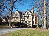
August 7, 1979 West of Lutherville at 10440 Falls Rd.
39°24′39″N 76°40′17″W / 39.410833°N 76.671389°WLutherville 14 Corbett Historic District September 12, 1985 1615-1827 Corbett Rd. and 16200-16225 Corbett Village Ln.
39°34′09″N 76°37′03″W / 39.569167°N 76.6175°WMonkton 15 Craighill Channel Lower Range Front Light Station 
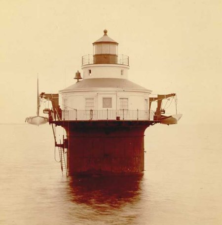
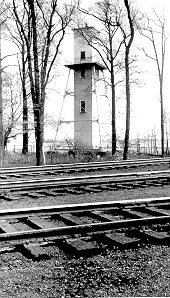
December 2, 2002 3.5 miles southeast of Fort Howard
39°11′19″N 76°23′39″W / 39.188611°N 76.394167°WFort Howard 16 Craighill Channel Lower Range Rear Light Station 
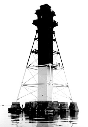
December 2, 2002 Edgemere area
39°13′45″N 76°23′40″W / 39.229186°N 76.394408°WEdgemere 17 Cut-off Channel Range Front Light Station 
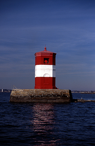
December 2, 2002 Southwest of Fort Howard
39°11′49″N 76°26′55″W / 39.196944°N 76.448611°WFort Howard 18 Cut-off Channel Range Rear Light Station 
December 2, 2002 Sparrows Point
39°12′58″N 76°27′47″W / 39.216111°N 76.463056°WEdgemore 19 Dumbarton Historic District December 30, 2009 Roughly bounded by Park Heights Ave., Slade Ave., Seven Mile La., and Old Court Rd.
39°22′37″N 76°42′37″W / 39.376931°N 76.710258°WPikesville 20 Dundalk Historic District 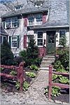
December 8, 1983 Roughly bounded by Liberty Parkway, Dunman, Willow Spring and Sunship Rds., and Chesapeake and Patapsco Aves.
39°15′35″N 76°31′26″W / 39.259722°N 76.523889°WDundalk 21 Dundalk-Liberty-Cornwall Gardens September 23, 2011 7003 Dunmanway
39°15′27″N 76°31′06″W / 39.2575°N 76.518333°WDundalk 22 Eagle's Nest July 25, 1974 Jarrettsville Pike
39°28′15″N 76°34′32″W / 39.470833°N 76.575556°WPhoenix 23 Ellicott's Mills Historic District November 19, 1976 Both sides of Maryland Route 144, south of the Patapsco River Bridge
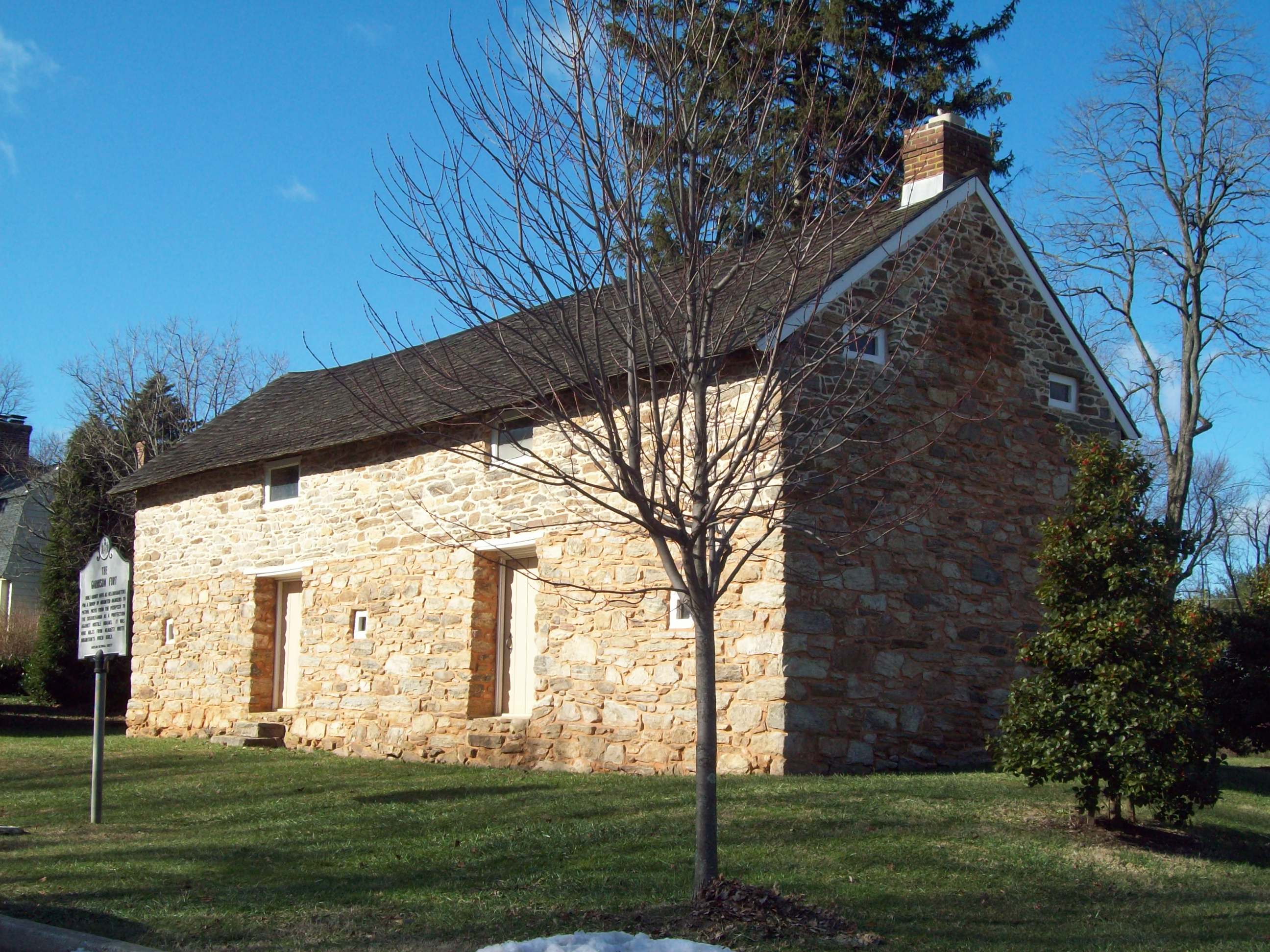
39°16′05″N 76°47′32″W / 39.268056°N 76.792222°WOella 24 Fort Garrison 
January 25, 1971 South of Stevenson at Garrison Farms Ct.
39°23′55″N 76°42′29″W / 39.398611°N 76.708056°WStevenson 25 Glencoe May 9, 1983 1314 Glencoe Rd.
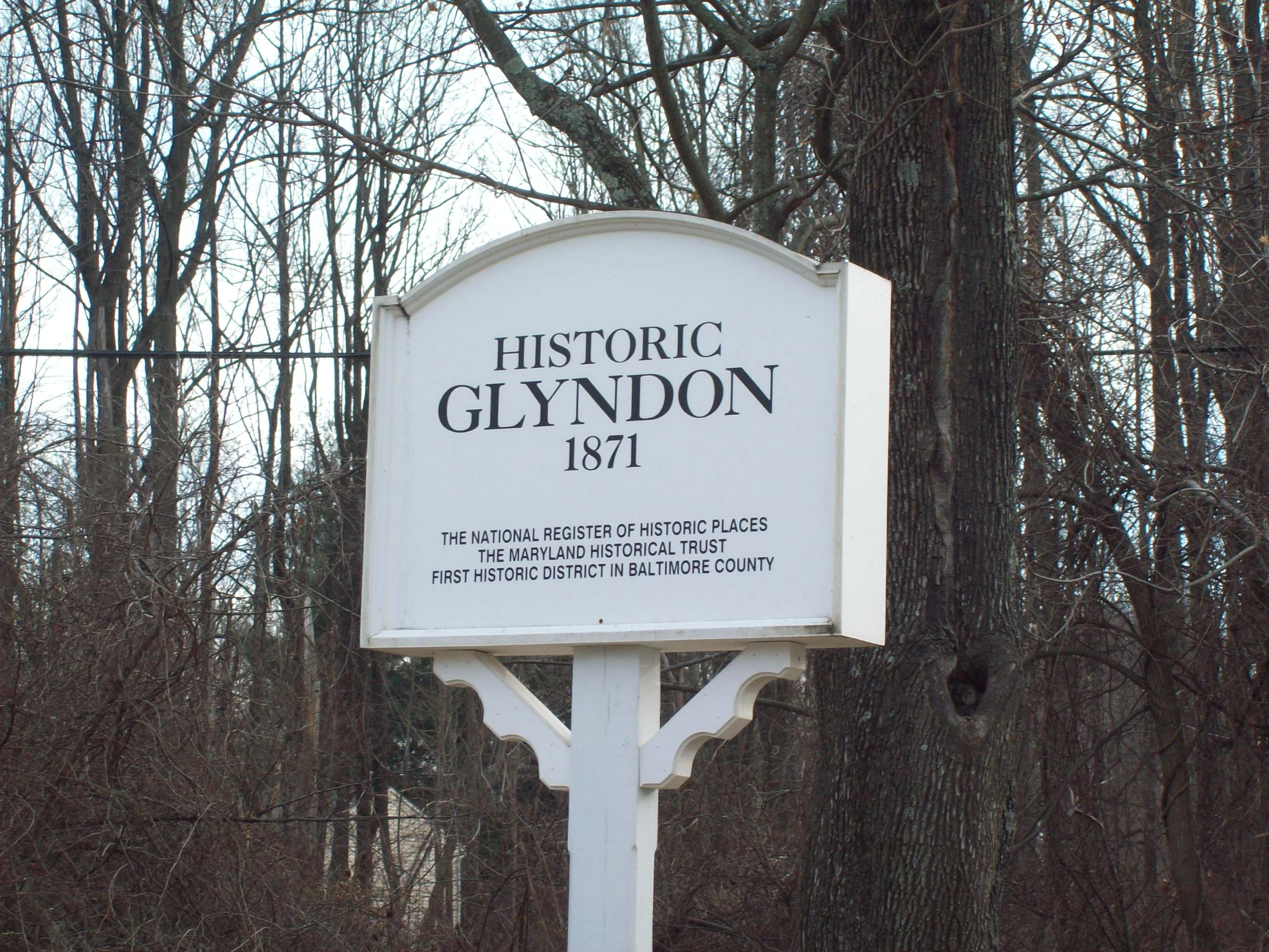
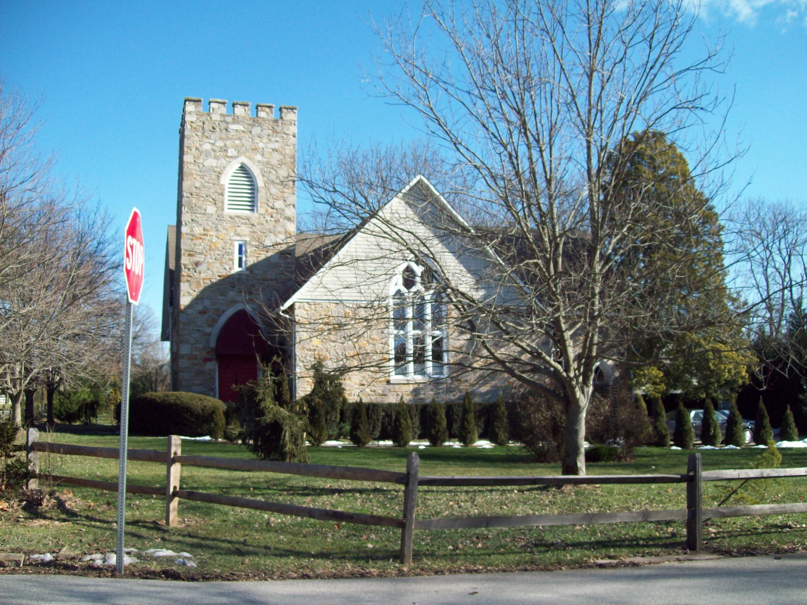
39°33′04″N 76°38′06″W / 39.551111°N 76.635°WGlencoe 26 Glyndon Historic District 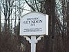
September 20, 1973 Town of Glyndon and its environs along Maryland Route 128
39°28′30″N 76°48′38″W / 39.475°N 76.810556°WGlyndon 27 Goucher College 
August 28, 2007 1021 Dulaney Valley Rd.
39°24′39″N 76°36′01″W / 39.41085°N 76.600353°WTowson 28 Granite Historic District September 22, 1994 Roughly the area surrounding Old Court Rd. and St. Paul Ave.
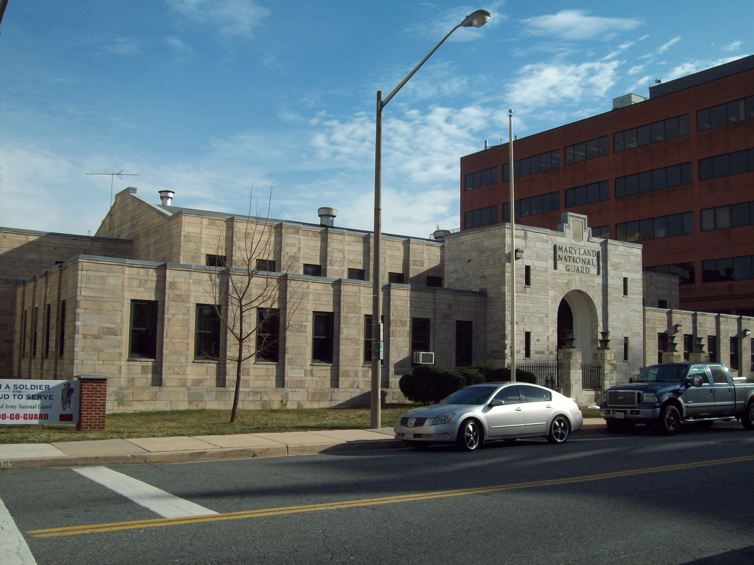
39°20′36″N 76°50′51″W / 39.343333°N 76.8475°WGranite 29 Green Spring Valley Historic District 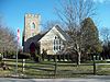
October 3, 1980 Maryland Routes 25 and 140
39°24′55″N 76°42′46″W / 39.415278°N 76.712778°WLutherville and Owings Mills 30 Half-Way House September 8, 1980 1.3 miles south of Parkton at 18200 York Rd.; also York Rd. and Weisburg Rd
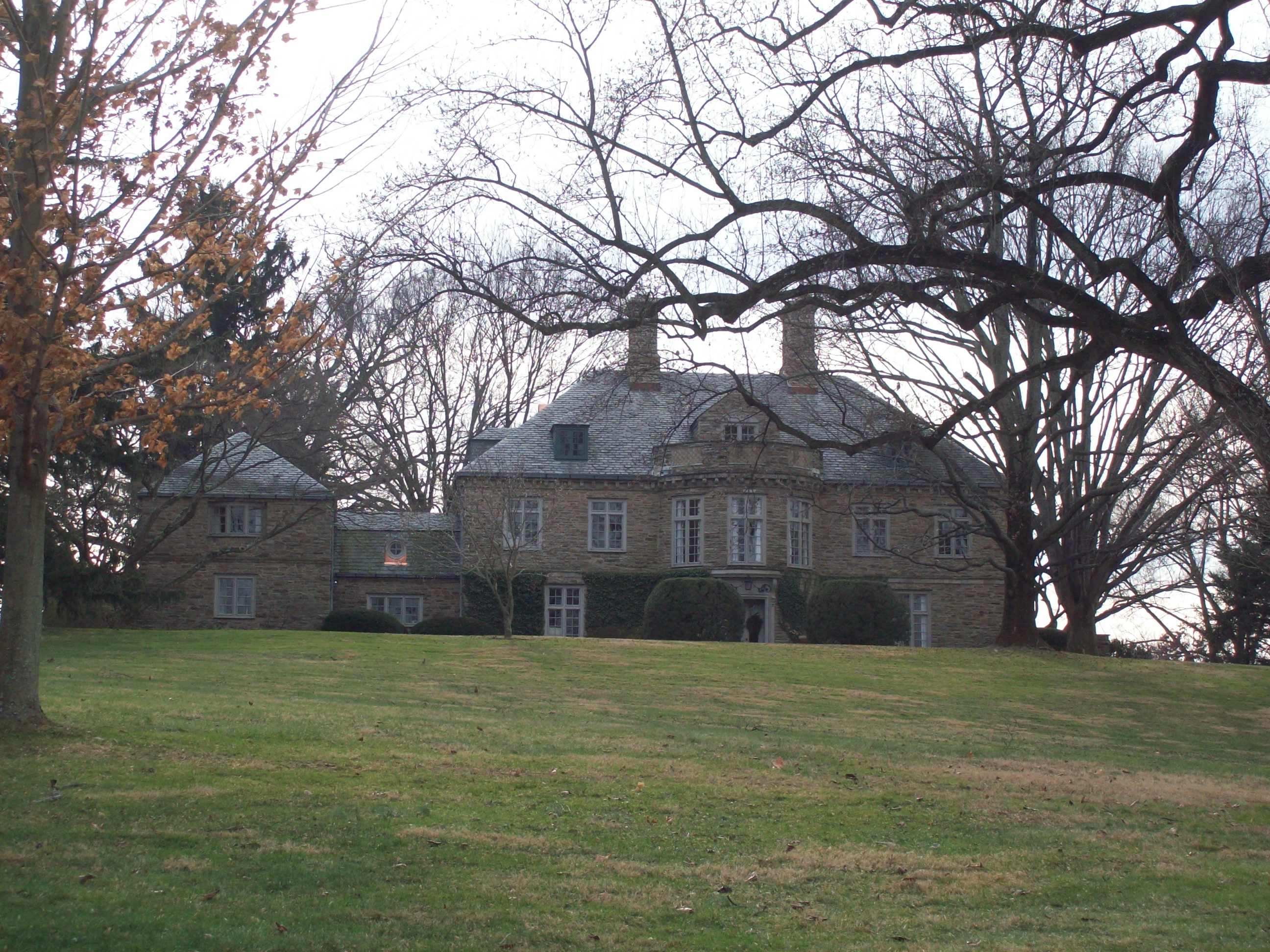
39°37′24″N 76°39′31″W / 39.623333°N 76.658611°WParkton Second address represents a boundary increase, added on July 12, 1989 31 Hampton National Historic Site 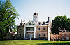
October 15, 1966 535 Hampton Lane
39°25′2″N 76°35′17″W / 39.41722°N 76.58806°WTowson 32 Hill House March 6, 1986 19301 York Rd.
39°39′12″N 76°39′10″W / 39.653333°N 76.652778°WParkton 33 Hilton 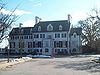
October 31, 1980 800 S. Rolling Rd.
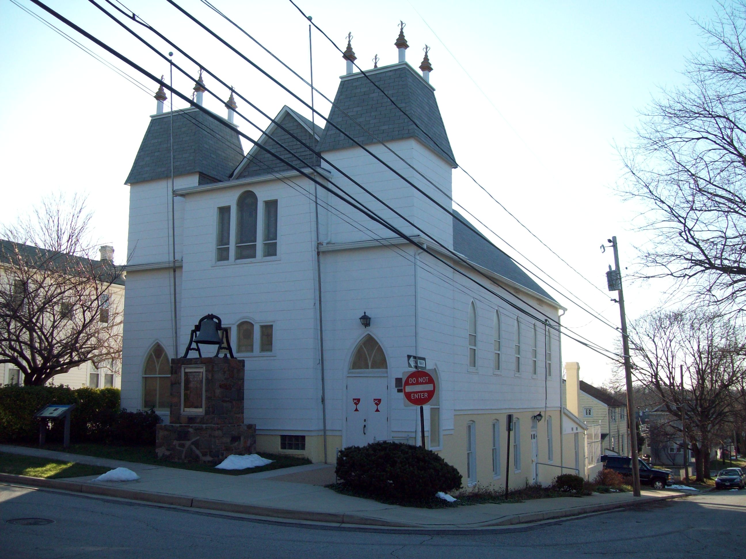
39°15′09″N 76°44′01″W / 39.2525°N 76.733611°WCatonsville 34 Hull Memorial Christian Church 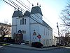
September 15, 1977 101 Clyde Ave.
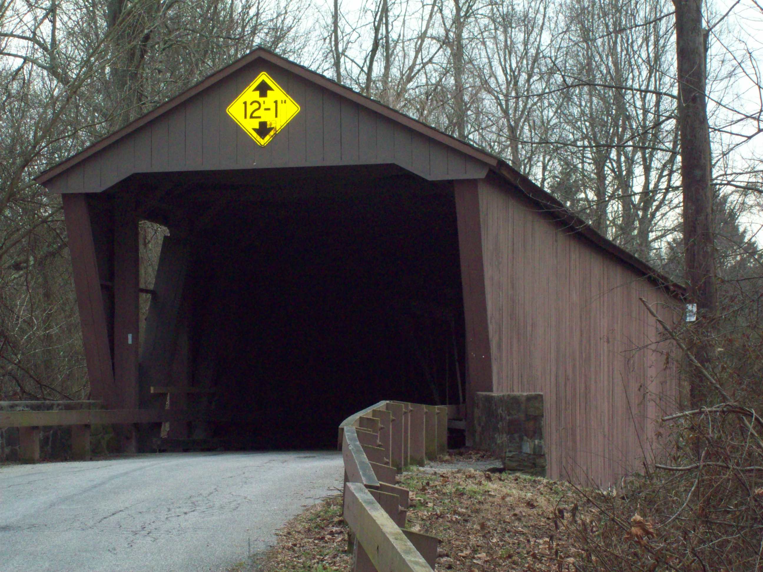
39°14′41″N 76°39′48″W / 39.244722°N 76.663333°WLansdowne 35 Jericho Covered Bridge 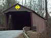
September 13, 1978 East of Kingsville on Franklinville Rd.
39°27′34″N 76°23′16″W / 39.459444°N 76.387778°WKingsville 36 Jericho Farm 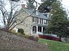
September 7, 1984 12230 Jericho Rd.
39°27′23″N 76°23′17″W / 39.456389°N 76.388056°WKingsville 37 James Lawrence Kernan Hospital 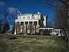
September 24, 1979 Windsor Mill Rd. and Forest Park Ave.
39°18′48″N 76°42′34″W / 39.313333°N 76.709444°WWetheredsville 38 Long Green Valley Historic District December 30, 1982 Glen Arm, Baldwin Mill, Manor, and Hartford Rds. areas
39°28′35″N 76°29′23″W / 39.476389°N 76.489722°WBaldwin, Glen Arm, Hydes 39 Long Island Farm August 30, 2010 220 Cromwell Bridge Rd.
39°25′05″N 76°32′33″W / 39.418056°N 76.5425°WParkville 40 Lorraine Park Cemetery Gate Lodge 
July 25, 1985 5608 Dogwood Rd.
39°18′47″N 76°43′05″W / 39.313056°N 76.718056°WWoodlawn 41 Lutherville Historic District November 9, 1972 Roughly bounded by Interstate 695, York and Ridgely Rds., and Lutherville Dr.
39°25′19″N 76°38′41″W / 39.421944°N 76.644722°WLutherville 42 The Meadows 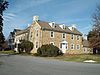
March 23, 1988 302 Meadows Ln.
39°24′05″N 76°47′52″W / 39.401389°N 76.797778°WOwings Mills 43 Mettam Memorial Baptist Church 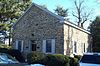
April 24, 1975 Old Court Rd. between Sudbrook and Reisterstown Rds.
39°22′41″N 76°43′10″W / 39.378056°N 76.719444°WPikesville 44 Montrose Mansion and Chapel March 19, 1990 13700 Hanover Rd.
39°29′52″N 76°51′09″W / 39.497778°N 76.8525°WReisterstown 45 Mount de Sales Academy 
May 30, 1986 700 Academy Rd.
39°17′06″N 76°43′17″W / 39.285°N 76.721389°WCatonsville 46 Mt. Gilboa Chapel October 21, 1976 Oella and Westchester Aves.
39°16′27″N 76°46′45″W / 39.274283°N 76.779033°WOella 47 My Lady's Manor April 15, 1978 Maryland Route 138
39°35′15″N 76°34′16″W / 39.5875°N 76.571111°WMonkton 48 Oella Historic District 
November 7, 1976 Oella Ave., Glen Rd., Hollow Rd.
39°16′49″N 76°47′09″W / 39.280278°N 76.785833°WOella 49 Old Catonsville High School 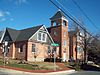
September 10, 1987 20 Winters Ln.
39°16′22″N 76°44′10″W / 39.272778°N 76.736111°WCatonsville 50 Old National Pike Milestones November 27, 1975 U.S. Route 40, Alternate U.S. Route 40, and Scenic U.S. Route 40, and Maryland Routes 44 and 165
39°25′13″N 77°16′01″W / 39.420278°N 77.266944°WCatonsville 51 Old Salem Church and Cemetery 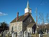
December 13, 1977 Ingleside Ave. and Calverton St.
39°17′05″N 76°43′53″W / 39.284722°N 76.731389°WCatonsville 52 Owings Upper Mill September 13, 1978 Reisterstown Rd. and Groff Ln.
39°25′19″N 76°46′59″W / 39.421936°N 76.78314°WOwings Mills 53 Parkton Hotel December 8, 1983 York Rd.
39°38′30″N 76°39′34″W / 39.641667°N 76.659444°WParkton 54 Patterson Viaduct Ruins 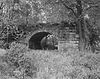
June 3, 1976 South of Catonsville at the Patapsco River
39°15′00″N 76°45′51″W / 39.25°N 76.764167°WCatonsville 55 Perry Hall 
April 23, 1980 North of Perry Hall on Perry Hall Rd.
39°25′43″N 76°27′33″W / 39.428611°N 76.459167°WPerry Hall 56 Pikesville Armory 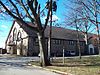
September 25, 1985 610 Reisterstown Rd.
39°22′08″N 76°43′18″W / 39.368889°N 76.721667°WPikesville 57 Plinlimmon Farm 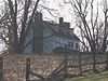
May 19, 1983 9401 Lyons Mill Rd.
39°23′35″N 76°47′59″W / 39.393056°N 76.799722°WOwings Mills 58 Prospect Hill July 26, 1973 Northeast of Long Green on Kane's Rd.
39°28′48″N 76°30′47″W / 39.48°N 76.513056°WLong Green 59 Ravenshurst August 14, 1978 12915 Dulaney Valley Rd.
39°28′48″N 76°31′50″W / 39.48°N 76.530556°WGlen Arm 60 Reisterstown Historic District 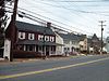
November 15, 1979 Maryland Routes 30 and 140
39°27′49″N 76°49′32″W / 39.463611°N 76.825556°WReisterstown 61 Rockland 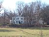
February 2, 1983 10214 Falls Rd.
39°24′11″N 76°40′15″W / 39.403056°N 76.670833°WBrooklandville 62 Rockland Historic District 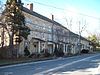
April 11, 1973 Both sides of Falls Rd. (Maryland Route 25) at its junction with Old Court Rd. (Maryland Route 133)
39°24′03″N 76°40′06″W / 39.400833°N 76.668333°WBrooklandville 63 Rodgers Forge Historic District September 24, 2009 Roughly bounded by Stanmore Rd., Stevenson La., York Rd., Regester Ave., and Bellona Ave.
39°22′52″N 76°37′02″W / 39.380975°N 76.617128°WTowson 64 Sheppard and Enoch Pratt Hospital and Gatehouse 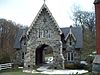
November 11, 1971 Charles St.
39°23′28″N 76°37′09″W / 39.391111°N 76.619167°WTowson 65 St. Charles College Historic District 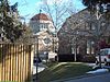
September 30, 1983 711 Maiden Choice Lane
39°16′07″N 76°42′46″W / 39.268611°N 76.712778°WCatonsville 66 St. James Church September 12, 1974 Southeast of Monkton off Manor Rd.
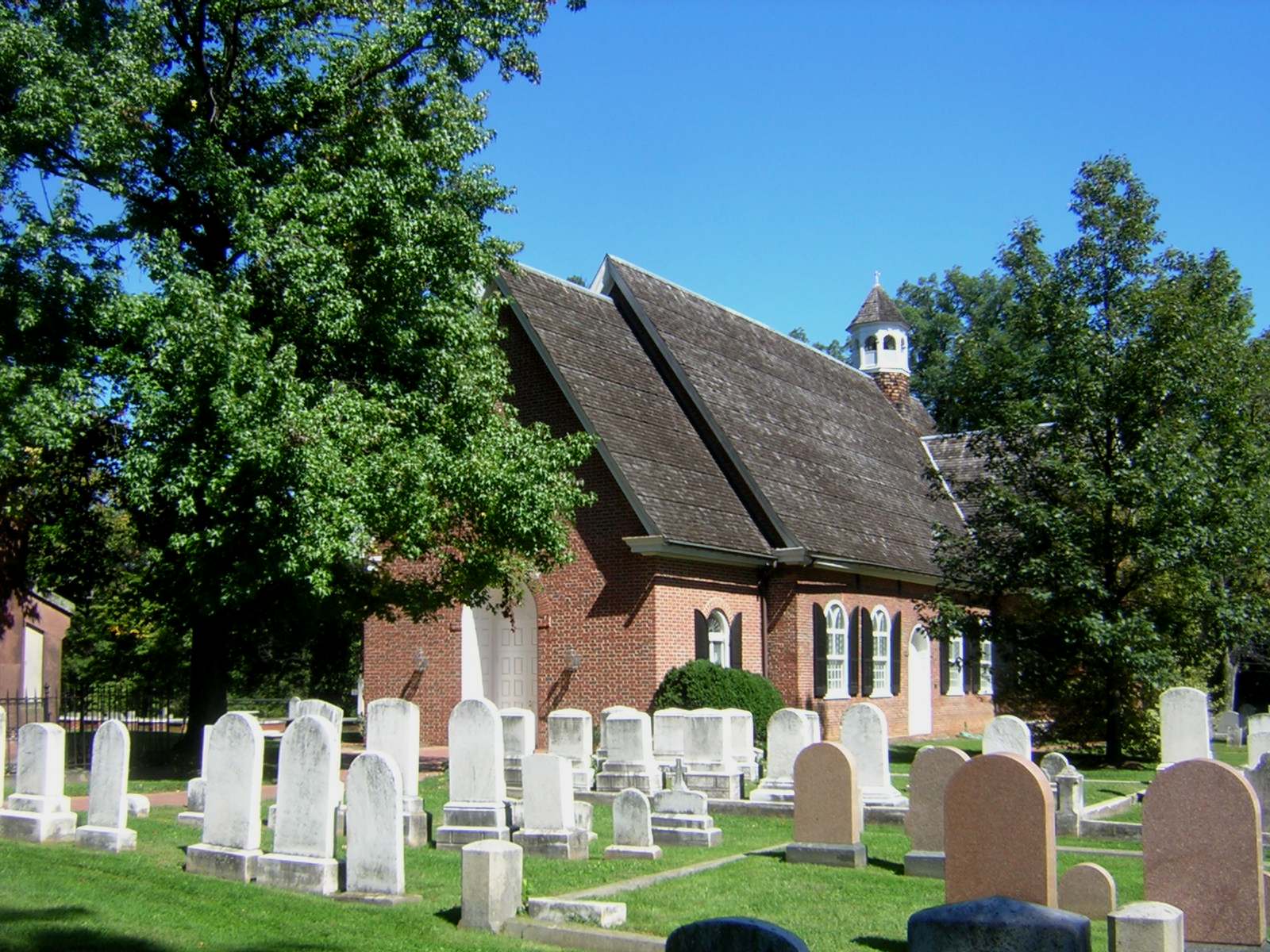
39°33′41″N 76°34′11″W / 39.561389°N 76.569722°WMonkton 67 St. John's Church 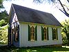
March 15, 1982 7538 Bellona Ave.
39°23′41″N 76°38′39″W / 39.394667°N 76.644028°WRuxton 68 St. Mary's Episcopal Church 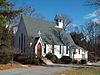
March 14, 1985 5610 Dogwood Rd.
39°18′47″N 76°43′16″W / 39.313056°N 76.721111°WWoodlawn 69 St. Michael's Church 
October 22, 1979 Academy Lane and Reisterstown Rd.
39°27′04″N 76°49′08″W / 39.451111°N 76.818889°WReisterstown 70 St. Thomas Church 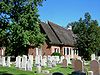
May 24, 1979 St. Thomas Lane and Garrison Forest Rd.
39°25′19″N 76°45′43″W / 39.421944°N 76.761944°WOwings Mills 71 Stone Hall 
July 26, 1973 North of Cockeysville off Maryland Route 25 on Cuba Rd.
39°30′34″N 76°41′58″W / 39.509444°N 76.699444°WCockeysville 72 Stoneleigh Historic District 
November 8, 2003 Roughly bounded by Regester Ave., York Rd., Hatherleigh Rd., and Kenleigh Rd.
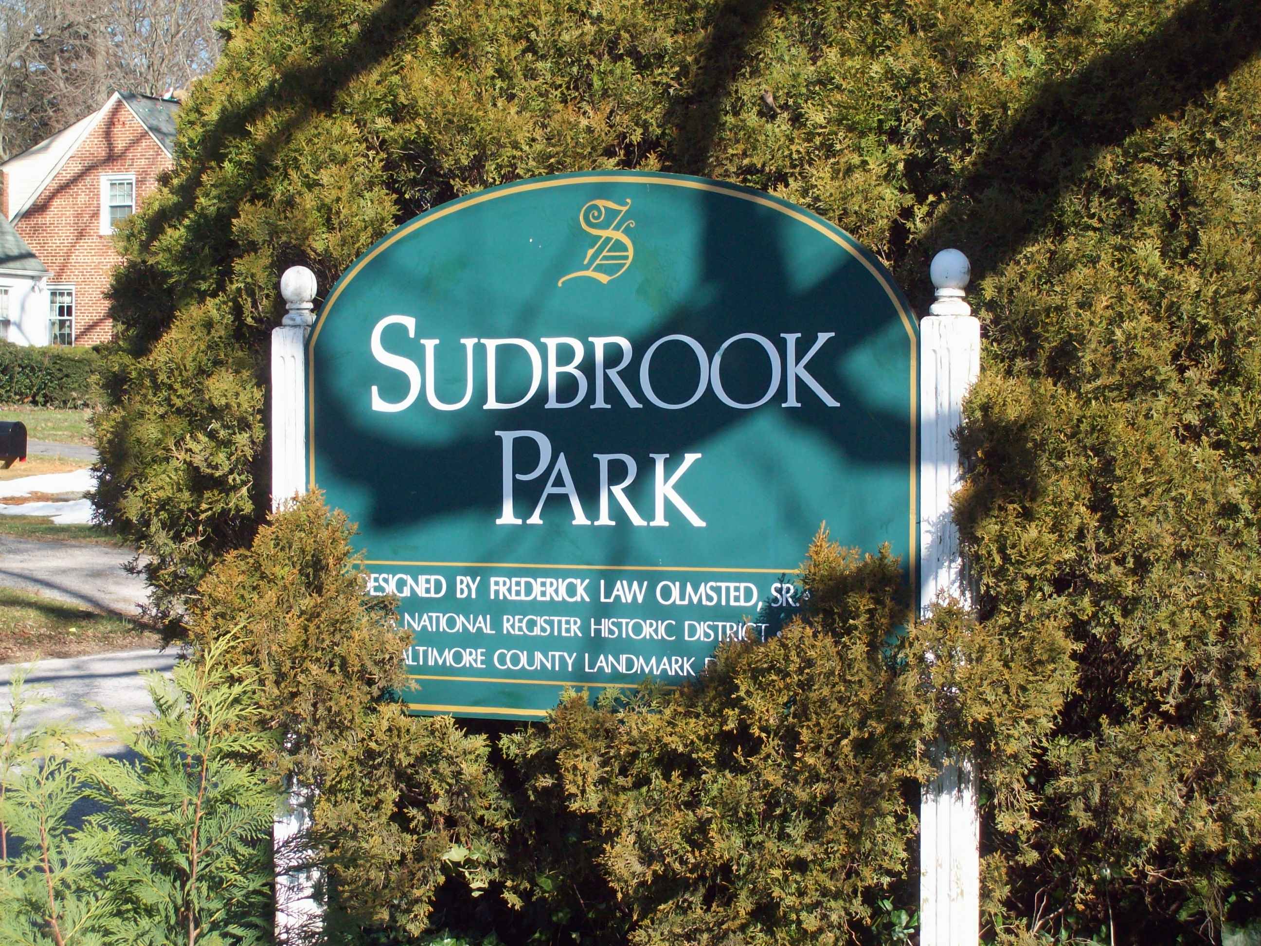
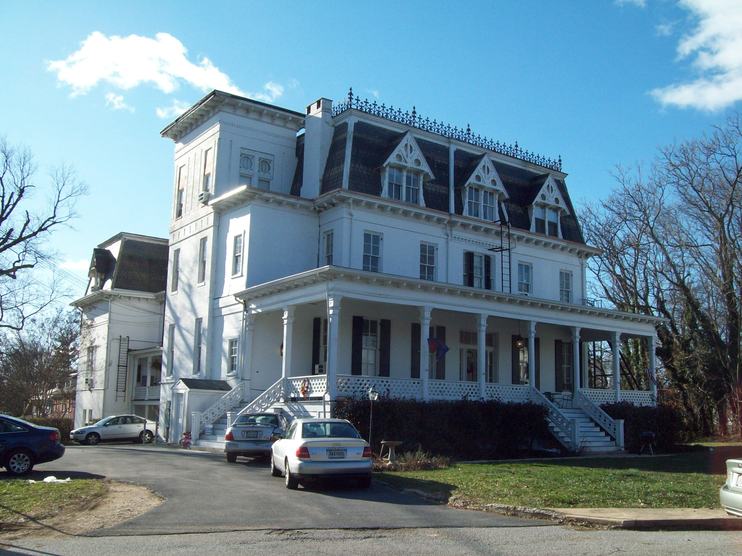
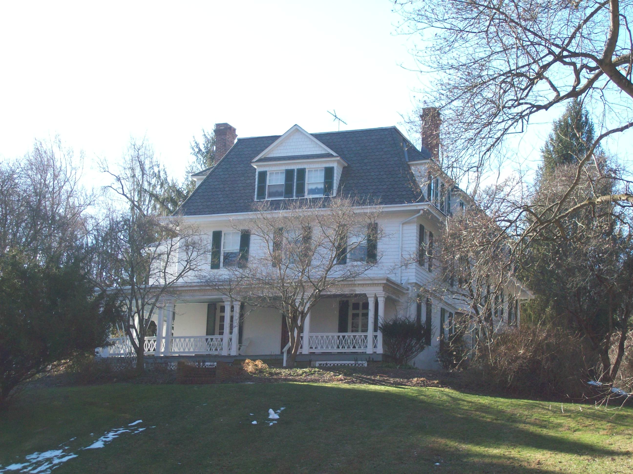
39°22′46″N 76°36′16″W / 39.379444°N 76.604444°WTowson 73 Sudbrook Park 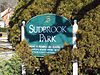
June 19, 1973 South of Pikesville off U.S. Route 40 on Greenwood Rd.
39°21′58″N 76°43′49″W / 39.366111°N 76.730278°WPikesville 74 Summit 
July 24, 1979 10 Stanley Dr.
39°16′06″N 76°44′35″W / 39.268333°N 76.743056°WCatonsville 75 The Wilderness 
September 12, 1985 2 Thistle Rd.
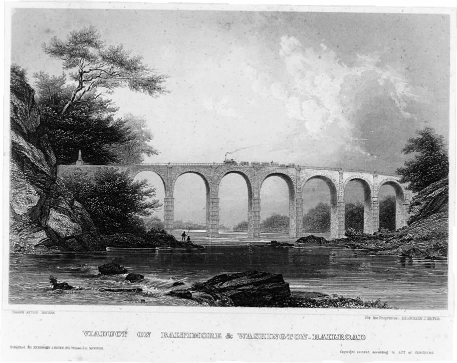
39°15′27″N 76°46′03″W / 39.2575°N 76.7675°WCatonsville 76 Thomas Viaduct, Baltimore & Ohio Railroad 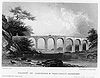
October 15, 1966 Over the Patapsco River between Relay and Elkridge
39°13′19″N 76°42′49″W / 39.221944°N 76.713611°WRelay 77 Todd Farmhouse October 18, 1973 9000 Old North Point Rd. (Maryland Route 20)
39°12′49″N 76°26′18″W / 39.213611°N 76.438333°WFort Howard 78 Towson Academy 
September 25, 1985 Washington St. and Chesapeake Ave.
39°23′57″N 76°36′20″W / 39.399167°N 76.605556°WTowson 79 Tyrconnell 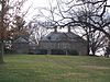
March 14, 1985 120 Woodbrook Lane
39°22′50″N 76°38′08″W / 39.380556°N 76.635556°WTowson 80 Villa Anneslie 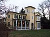
December 13, 1977 529 Dunkirk Rd.
39°22′34″N 76°36′20″W / 39.376111°N 76.605556°WTowson 81 Wester Ogle 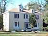
January 11, 1985 8948-8950 Reisterstown Rd.
39°23′31″N 76°45′01″W / 39.391944°N 76.750278°WPikesville 82 Western Run-Belfast Road Historic District 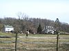
January 23, 1979 Northwest of Lutherville
39°31′45″N 76°41′39″W / 39.529167°N 76.694167°WLutherville 83 Winters Lane Historic District 
December 21, 2007 Winters Ln. between Frederick Rd. and Baltimore National Pike.
39°16′45″N 76°44′31″W / 39.279072°N 76.741883°WCatonsville 84 Worthington Valley Historic District 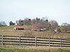
December 12, 1976 Bounded by Falls and Shawan Rds., Tufton and Worthington Aves., and the Baltimore Gas and Electric Right-of-Way
39°29′59″N 76°45′19″W / 39.499722°N 76.755278°WGlyndon See also
- List of National Historic Landmarks in Maryland
- National Register of Historic Places listings in Maryland
References
- ^ The latitude and longitude information provided in this table was derived originally from the National Register Information System, which has been found to be fairly accurate for about 99% of listings. For about 1% of NRIS original coordinates, experience has shown that one or both coordinates are typos or otherwise extremely far off; some corrections may have been made. A more subtle problem causes many locations to be off by up to 150 yards, depending on location in the country: most NRIS coordinates were derived from tracing out latitude and longitudes off of USGS topographical quadrant maps created under North American Datum of 1927, which differs from the current, highly accurate GPS system used by Google maps. Chicago is about right, but NRIS longitudes in Washington are higher by about 4.5 seconds, and are lower by about 2.0 seconds in Maine. Latitudes differ by about 1.0 second in Florida. Some locations in this table may have been corrected to current GPS standards.
- ^ "National Register of Historic Places: Weekly List Actions". National Park Service, United States Department of the Interior. Retrieved on November 10, 2011.
- ^ Numbers represent an ordering by significant words. Various colorings, defined here, differentiate National Historic Landmark sites and National Register of Historic Places Districts from other NRHP buildings, structures, sites or objects.
- ^ "National Register Information System". National Register of Historic Places. National Park Service. . http://nrhp.focus.nps.gov/natreg/docs/All_Data.html.
U.S. National Register of Historic Places in Maryland Lists by county Allegany • Anne Arundel • Baltimore County • Calvert • Caroline • Carroll • Cecil • Charles • Dorchester • Frederick • Garrett • Harford • Howard • Kent • Montgomery • Prince George's • Queen Anne's • Somerset • St. Mary's • Talbot • Washington • Wicomico • Worcester

Lists by city Other lists Keeper of the Register • History of the National Register of Historic Places • Property types • Historic district • Contributing property Categories:- National Register of Historic Places in Maryland by county
- Baltimore County, Maryland
-


Wikimedia Foundation. 2010.