- National Register of Historic Places listings in Allegany County, Maryland
-
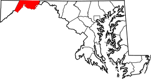 Location of Allegany County in Maryland
This is a list of the National Register of Historic Places listings in Allegany County, Maryland.
This is intended to be a complete list of the properties and districts on the National Register of Historic Places in Allegany County, Maryland, United States. Latitude and longitude coordinates are provided for many National Register properties and districts; these locations may be seen together in a Google map.[1]
There are 44 properties and districts listed on the National Register in the county.
Contents: Counties in Maryland Allegany - Anne Arundel - Baltimore (city) - Baltimore County - Calvert - Caroline - Carroll - Cecil - Charles - Dorchester - Frederick - Garrett - Harford - Howard - Kent - Montgomery - Prince George's - Queen Anne's - Somerset - St. Mary's - Talbot - Washington - Wicomico - Worcester -
- This National Park Service list is complete through NPS recent listings posted November 10, 2011.[2]
Current listings
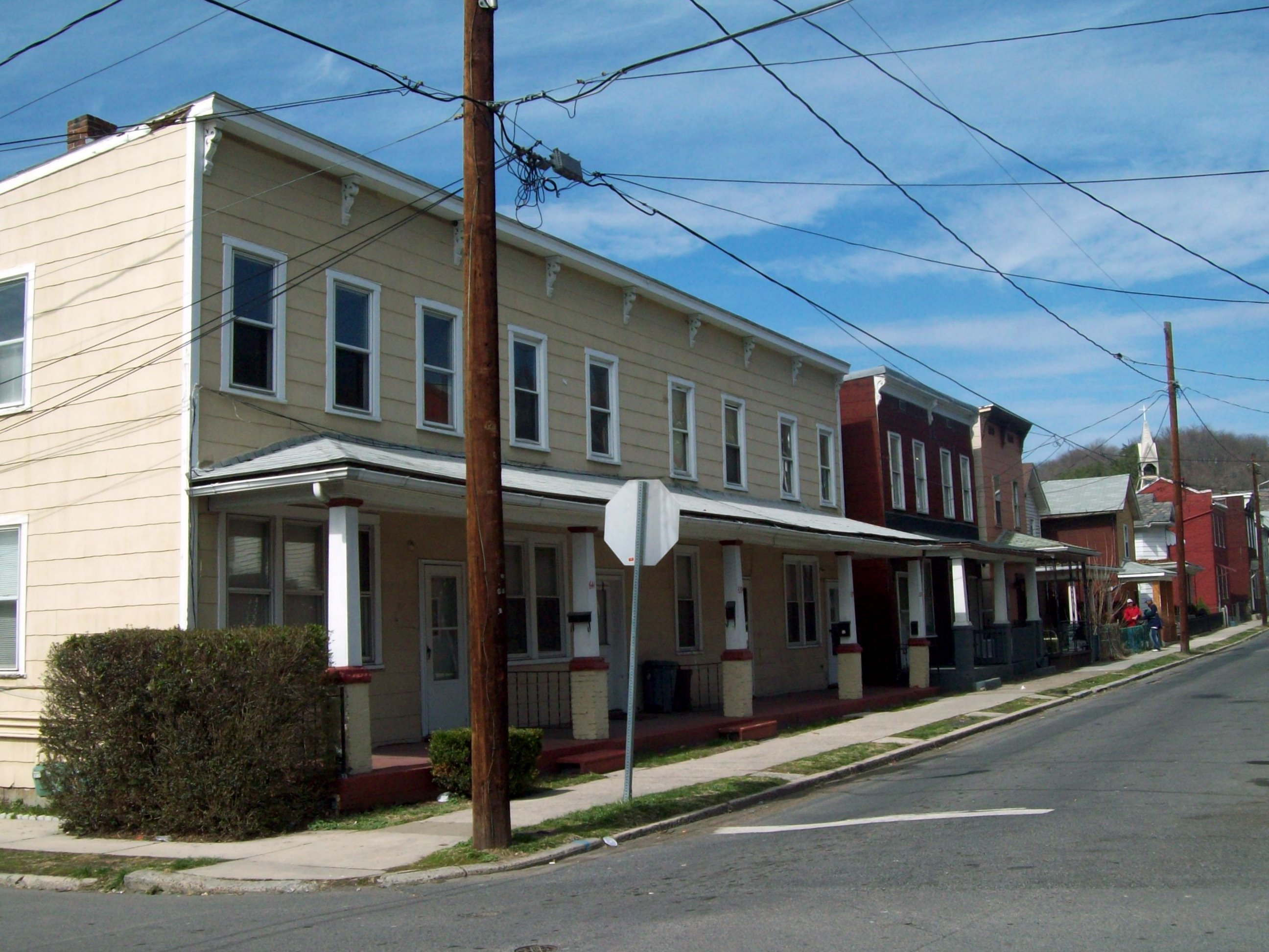
[3] Landmark name [4] Image Date listed Location City or town Summary 1 16 Altamont Terrace 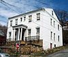
July 7, 1975 Northeastern corner of the junction of Altamont Ter. and Union St.
39°39′07″N 78°45′23″W / 39.651944°N 78.756389°WCumberland 2 200-208 Decatur Street 
July 7, 1975 200, 202, 204, 206, and 208 Decatur St.
39°39′19″N 78°45′31″W / 39.655278°N 78.758611°WCumberland 3 African Methodist Episcopal Church 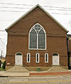
April 20, 1979 Decatur and Frederick Sts.
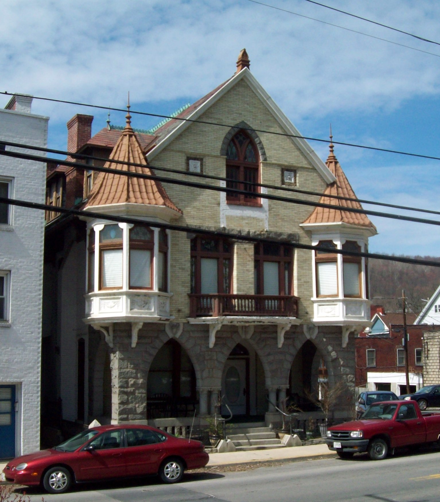
39°39′21″N 78°45′37″W / 39.655833°N 78.760278°WCumberland 4 B'er Chayim Temple 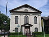
November 15, 1979 Union and S. Centre Sts
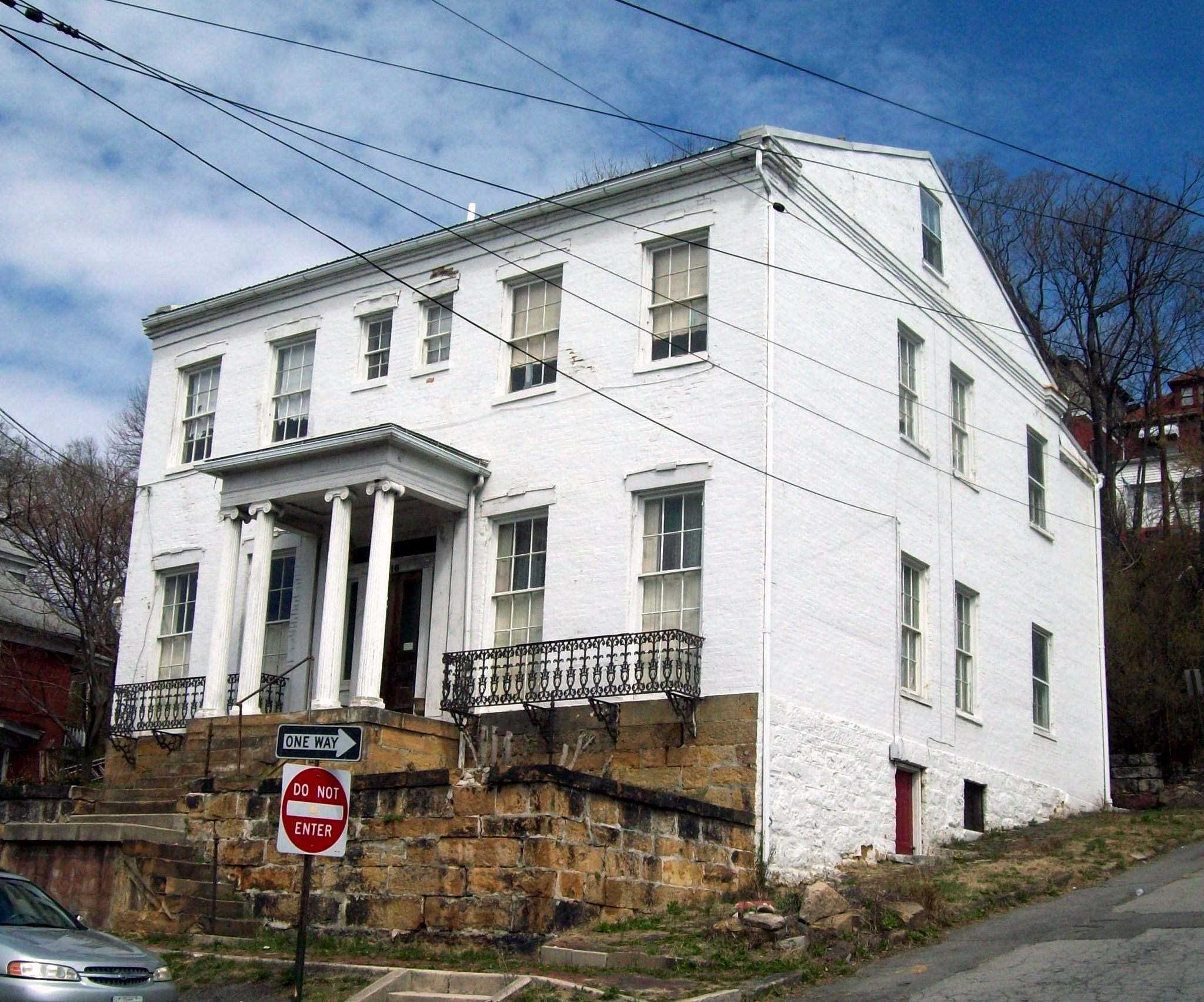
39°39′02″N 78°45′38″W / 39.650556°N 78.760556°WCumberland 5 Barton Village Site 
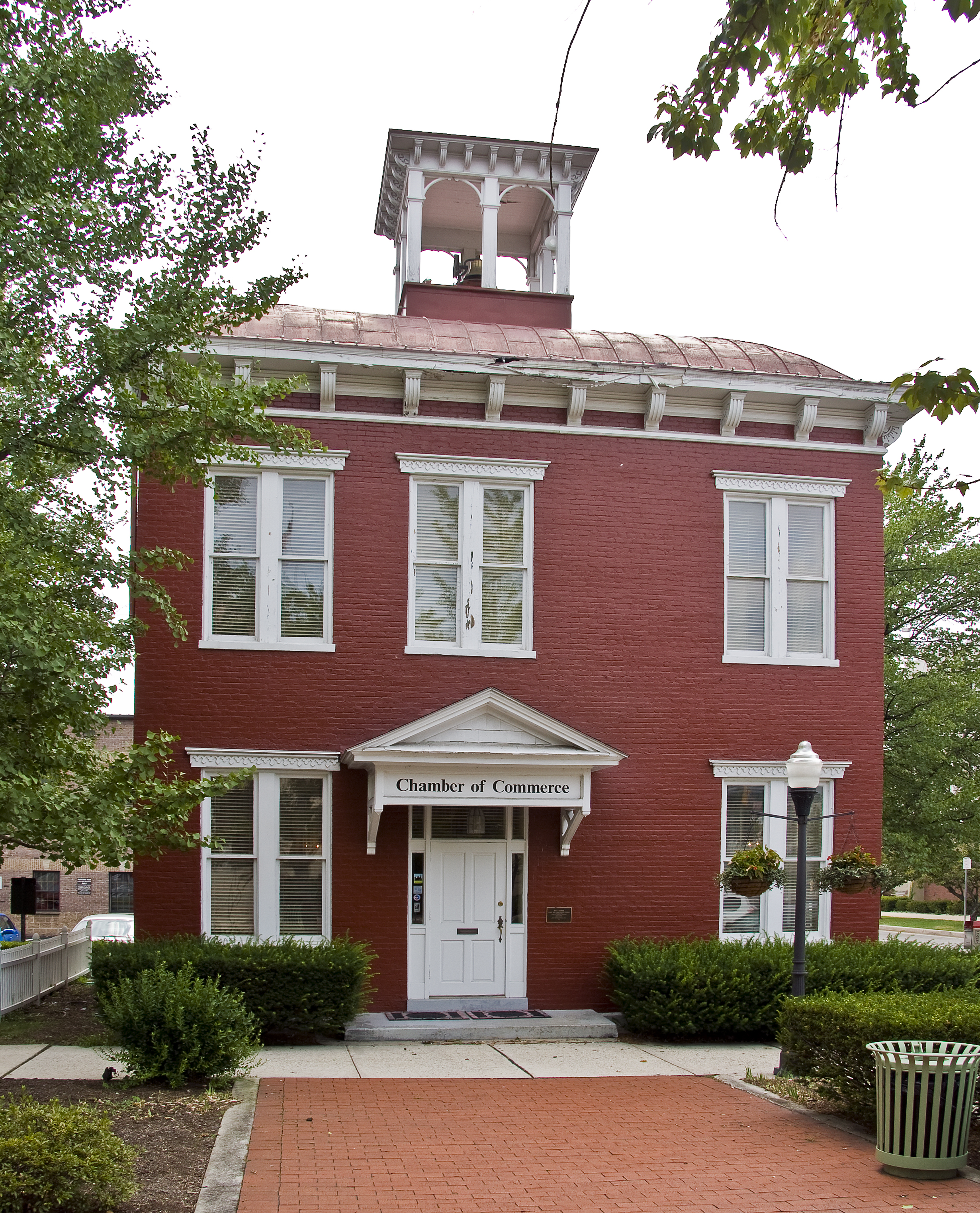
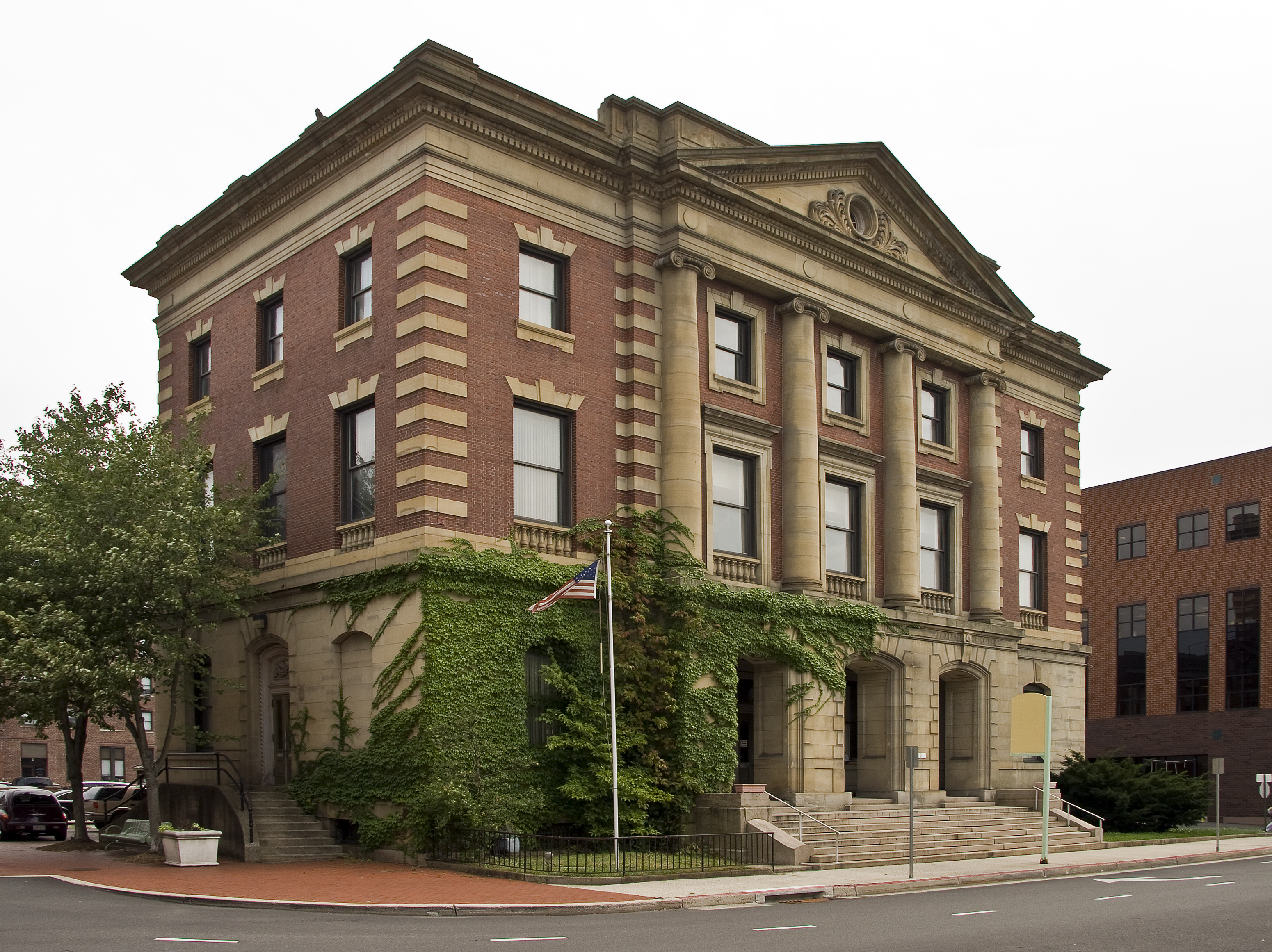
May 12, 1975 Address Restricted Cumberland 6 Bell Tower Building 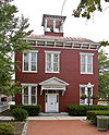
February 20, 1973 Bedford and Liberty Sts.
39°39′09″N 78°45′47″W / 39.6525°N 78.763056°WCumberland 7 Big Bottom Farm June 7, 1984 Hazen Rd.
39°43′07″N 78°41′44″W / 39.718611°N 78.695556°WDickens 8 Borden Mines Superintendent's House March 22, 1984 Maryland Route 36
39°39′55″N 78°55′21″W / 39.665278°N 78.9225°WFrostburg 9 Breakneck Road Historic District May 29, 1980 West of Flintstone
39°40′40″N 78°36′45″W / 39.677778°N 78.6125°WFlintstone 10 Wright Butler House 
January 31, 1978 205 Columbia St.
39°39′25″N 78°45′48″W / 39.656944°N 78.763333°WCumberland 11 Canada Hose Company Building 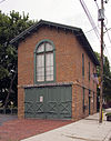
September 21, 1979 400-402 N. Mechanic St.
39°39′21″N 78°46′07″W / 39.655833°N 78.768611°WCumberland 12 Chapel Hill Historic District 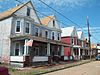
December 28, 2005 Roughly bounded by Industrial Boulevard , an unnamed alley east of South St., and E. Oldtown Rd.
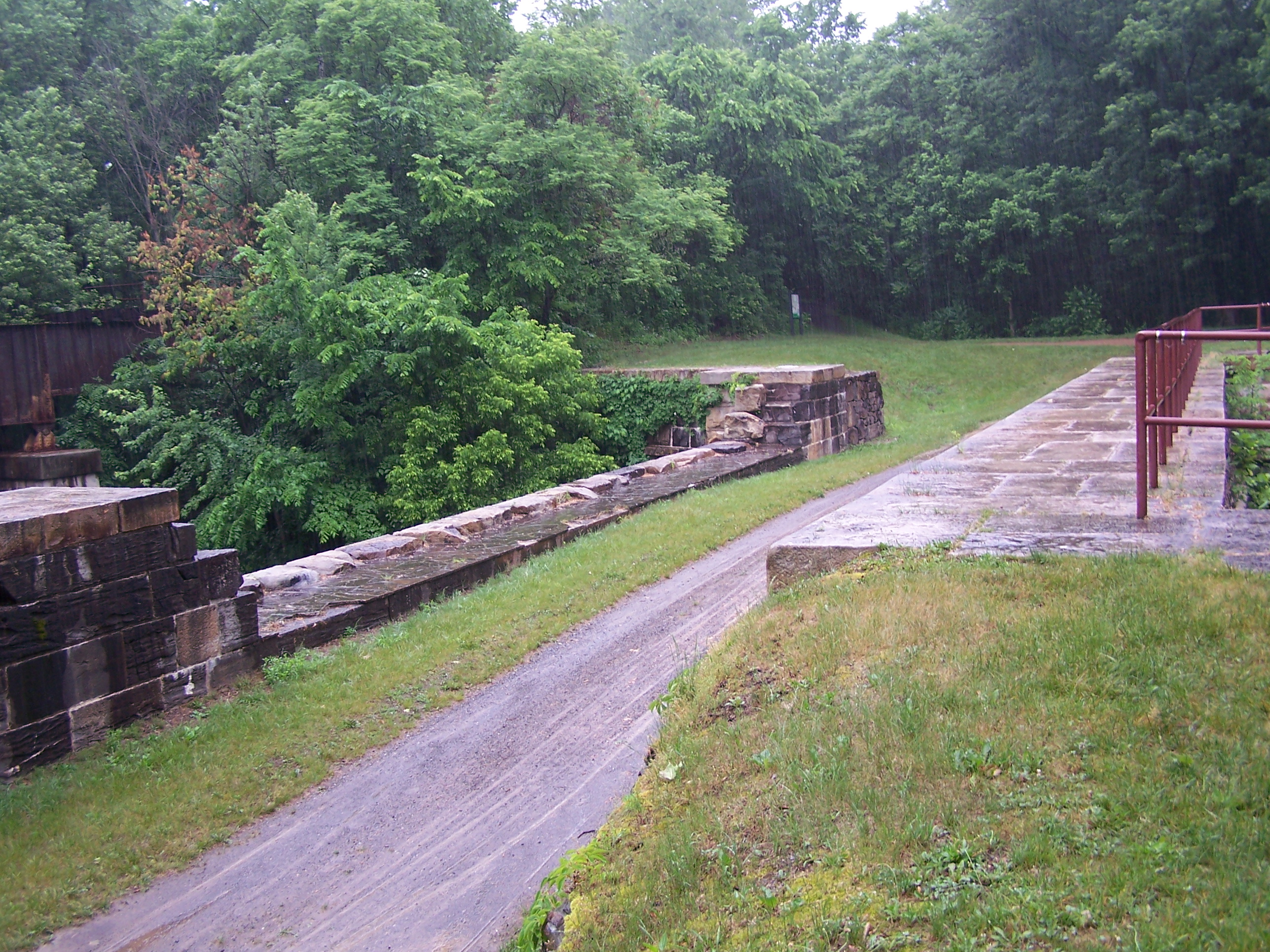
39°38′16″N 78°45′43″W / 39.637778°N 78.761944°WCumberland 13 Chesapeake and Ohio Canal National Historical Park 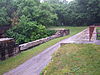
October 15, 1966 Bordering the Potomac River from Georgetown, D.C. to Cumberland, Maryland Oldtown 14 City Hall 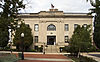
February 27, 1973 N. Center St. between Frederick and Bedford Sts.
39°39′10″N 78°45′46″W / 39.652778°N 78.762778°WCumberland 15 Michael Cresap House April 14, 1972 Main St. at Green Spring Rd.
39°32′30″N 78°36′42″W / 39.541667°N 78.611667°WOldtown 16 Cumberland YMCA 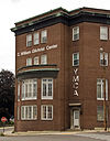
September 26, 1997 205 Baltimore Ave.
39°39′10″N 78°45′31″W / 39.652778°N 78.758611°WCumberland 17 Decatur Heights Historic District 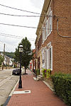
December 28, 2005 Roughly along Baltimore Ave., Decatur St., Davidson St., Frederick St. and Linden St.
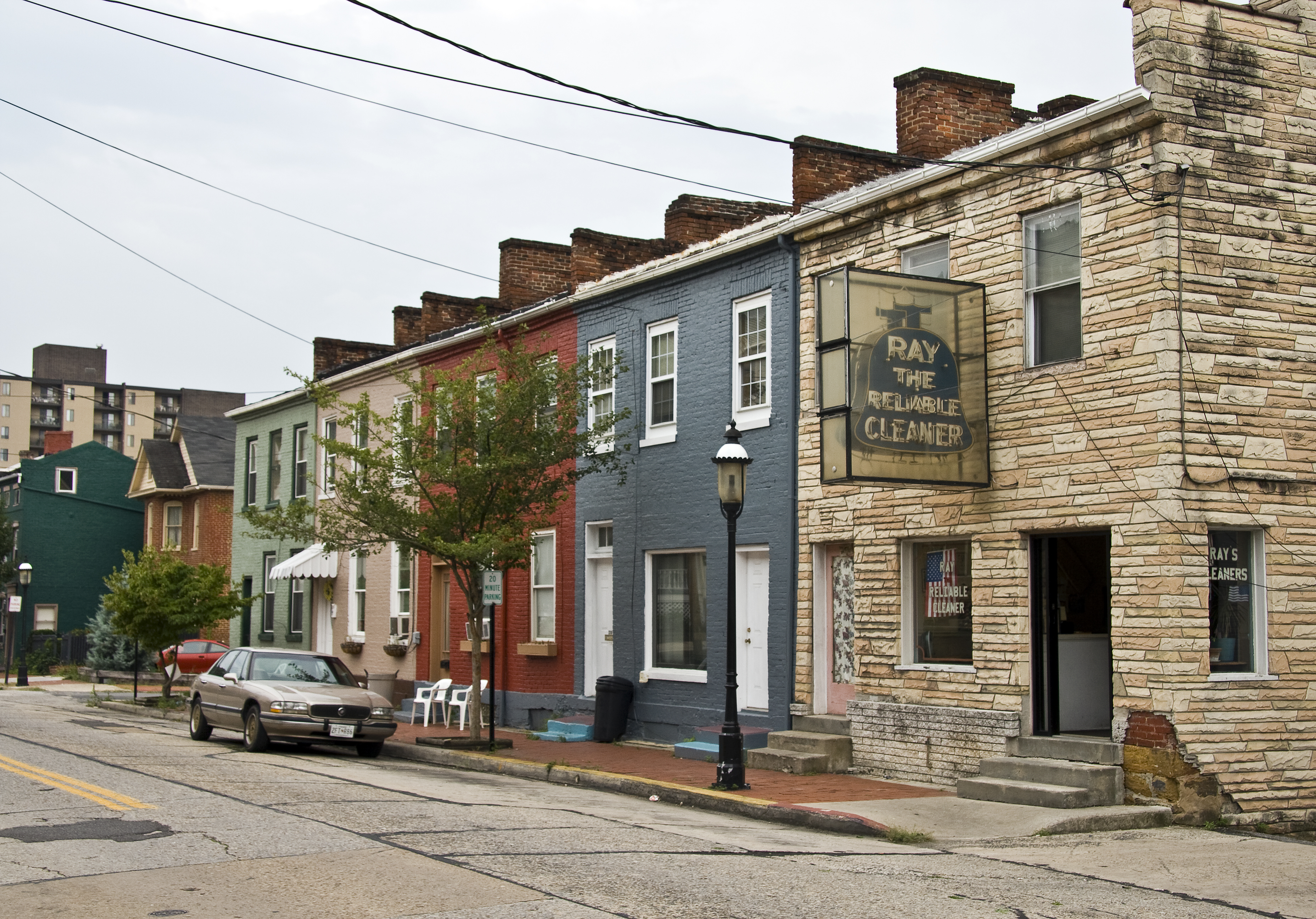
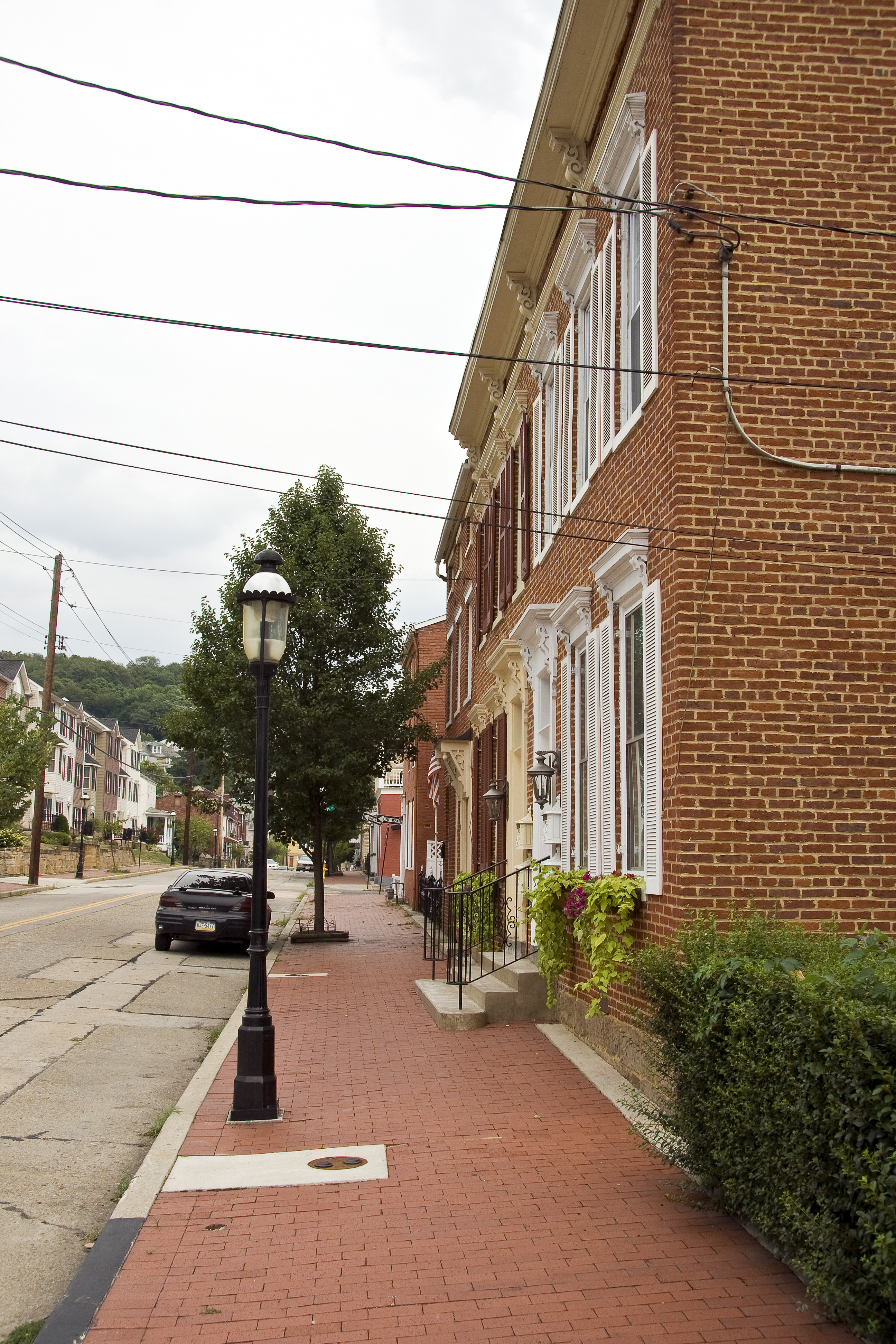
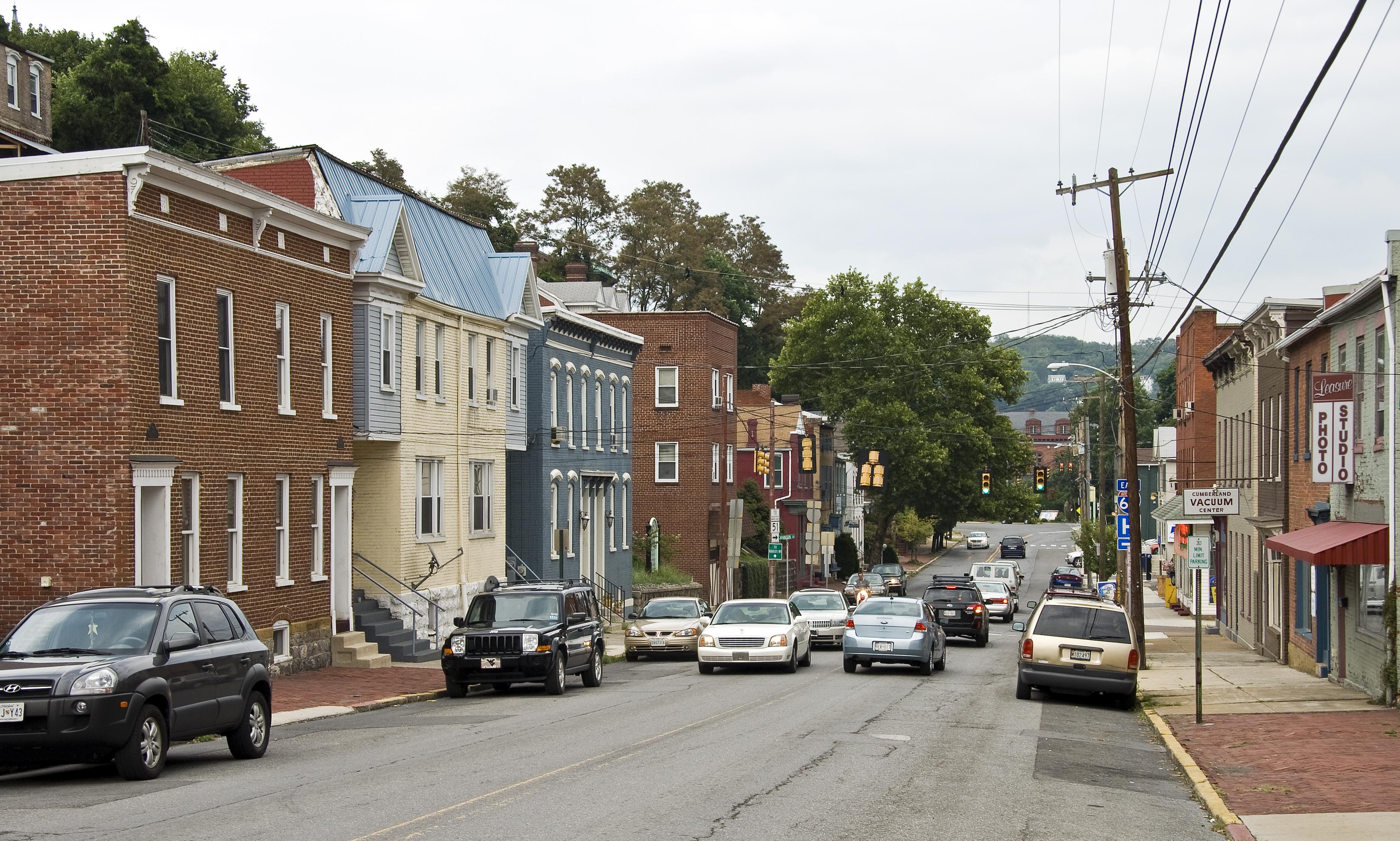
39°39′29″N 78°45′22″W / 39.658056°N 78.756111°WCumberland 18 Downtown Cumberland Historic District 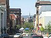
August 4, 1983 Roughly bounded by Mechanic, Bedford, George, and Harrison Sts.
39°39′05″N 78°45′40″W / 39.651389°N 78.761111°WCumberland 19 First Baptist Church 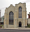
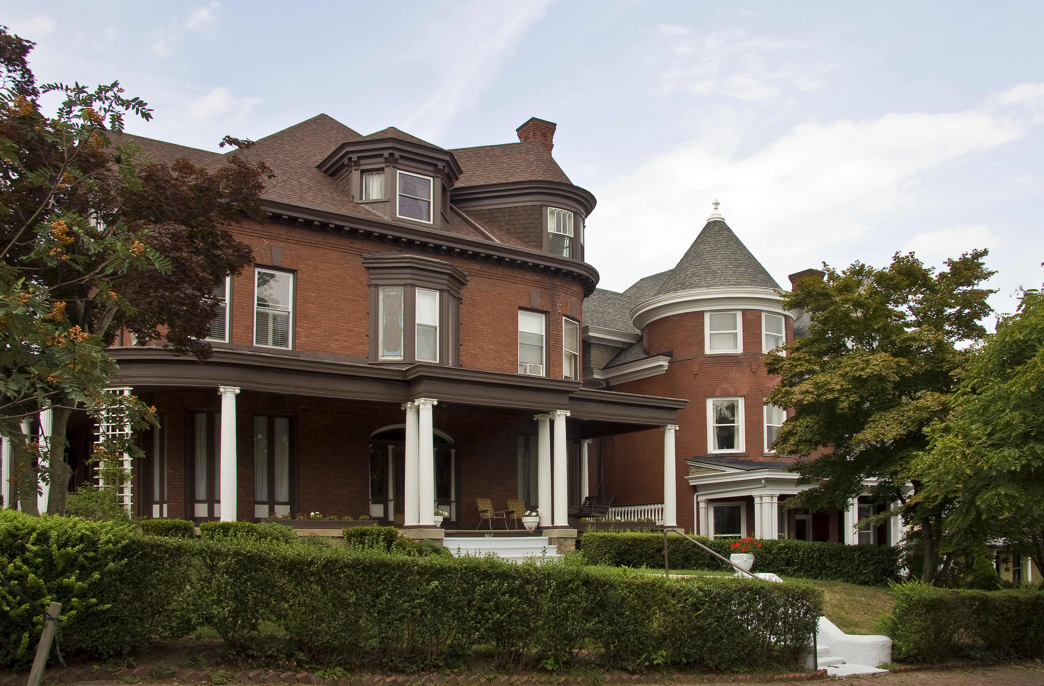
November 10, 1980 212 Bedford St.
39°39′21″N 78°45′41″W / 39.655833°N 78.761389°WCumberland 20 Folck's Mill November 21, 2008 Address Restricted Cumberland 21 Frostburg Historic District September 8, 1983 Western railroad line, Mt. Pleasant Terr., Main, Frost, Water, Broadway, Bealls, and Fairview Sts.
39°39′25″N 78°55′39″W / 39.656944°N 78.9275°WFrostburg 22 Greene Street Historic District 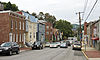
December 28, 2005 Greene St. between Spruce Alley and Riverside
39°39′13″N 78°46′17″W / 39.653611°N 78.771389°WCumberland 23 Francis Haley House 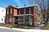
July 8, 1982 634 Maryland Ave.
39°38′46″N 78°45′21″W / 39.646111°N 78.755833°WCumberland 24 Hocking House December 2, 1982 144 E. Main St.
39°39′19″N 78°55′27″W / 39.655278°N 78.924167°WFrostburg 25 Inns on the National Road December 22, 1976 East and west of Cumberland on U.S. Route 40 from Flintstone to Grantsville
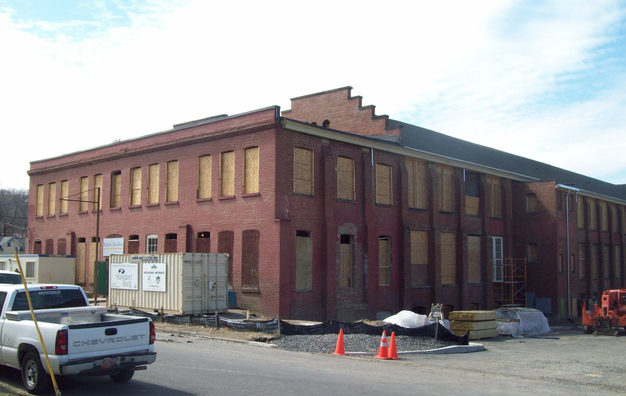
39°40′49″N 78°52′12″W / 39.680278°N 78.87°WCumberland 26 Klots Throwing Company Mill 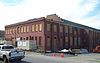
January 27, 2010 917 Gay St.
39°38′34″N 78°45′38″W / 39.642883°N 78.7606°WCumberland 27 Thomas Koon House 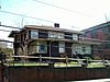
July 8, 1982 221 Baltimore Ave.
39°39′10″N 78°45′29″W / 39.652778°N 78.758056°WCumberland 28 La Vale Tollgate House January 25, 1971 14302 National Hwy., U.S. Route 40
39°38′15″N 78°51′06″W / 39.6375°N 78.851667°WLa Vale 29 Lonaconing Furnace June 19, 1973 E. Main St.
39°34′13″N 78°58′41″W / 39.570278°N 78.978056°WLonaconing 30 Lonaconing Historic District September 15, 1983 Maryland Routes 36 and 657, and Douglas Ave., Church, E. Main and Railroad Sts.
39°34′11″N 78°58′45″W / 39.569722°N 78.979167°WLonaconing 31 Mount Savage Historic District September 8, 1983 Roughly bounded by Foundry Row, Jennings Run, New School Rd., Yellow Row, Cherry St., and Columbia Ave.
39°41′47″N 78°52′49″W / 39.696389°N 78.880278°WMount Savage 32 Old National Pike Milestones November 27, 1975 Maryland Routes 44 and 165, U.S. Route 40, Alternate U.S. Route 40, and Scenic U.S. Route 40
39°25′13″N 77°16′01″W / 39.420278°N 77.266944°WBellegrove 33 Phoenix Mill Farm August 12, 1977 Smouses Hill Road off Maryland Route 220
39°42′38″N 78°41′39″W / 39.710556°N 78.694167°WDickens 34 Public Safety Building 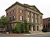
April 13, 1973 Frederick and Liberty Sts.
39°39′08″N 78°45′46″W / 39.652222°N 78.762778°WCumberland 35 Rolling Mill Historic District 
December 24, 2008 Portions of Williams, Elm, Spring, Short, Baker, and Ascension Sts., Miltenberger Pl., Sheridan Pl., and Maryland Ave.
39°38′46″N 78°45′20″W / 39.646178°N 78.755689°WCumberland 36 Shaw Mansion June 19, 1985 Laurel Run Cemetery Road
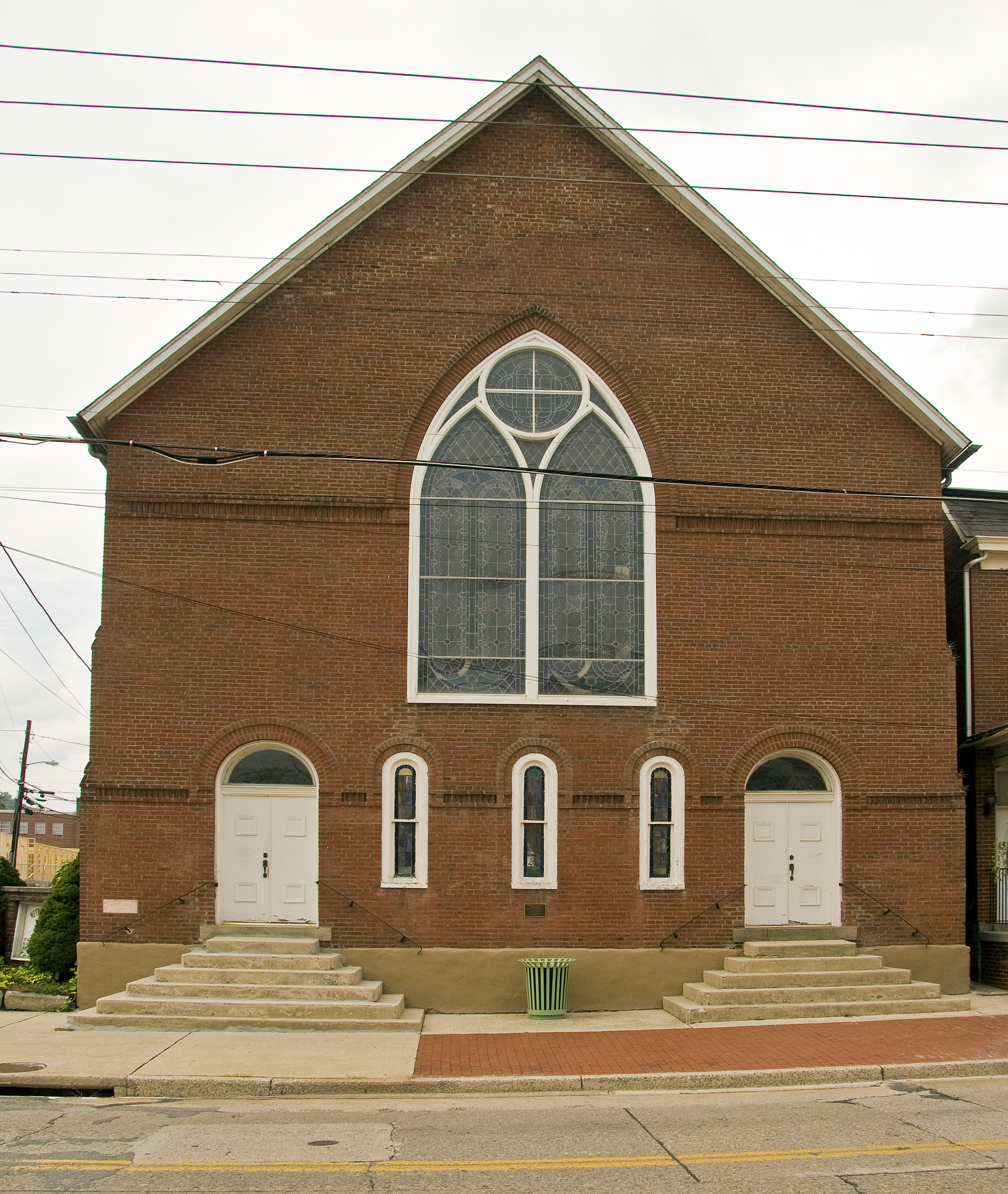
39°32′31″N 79°00′28″W / 39.541944°N 79.007778°WBarton 37 Shawnee Old Fields Village Site May 12, 1975 Address Restricted Oldtown 38 Town Clock Church 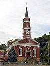
August 6, 1979 312 Bedford St.
39°39′25″N 78°45′40″W / 39.656944°N 78.761111°WCumberland 39 George Truog House 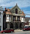
September 11, 1986 230 Baltimore Ave.
39°39′13″N 78°45′29″W / 39.653611°N 78.758056°WCumberland 40 Union Grove Schoolhouse July 24, 1979 Northeast of Cumberland on Mason Rd.
39°42′21″N 78°41′51″W / 39.705833°N 78.6975°WDickens 41 Washington Street Historic District 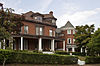
February 6, 1973 Washington St. from Wills Creek to the middle of its 600 block, including Prospect Square
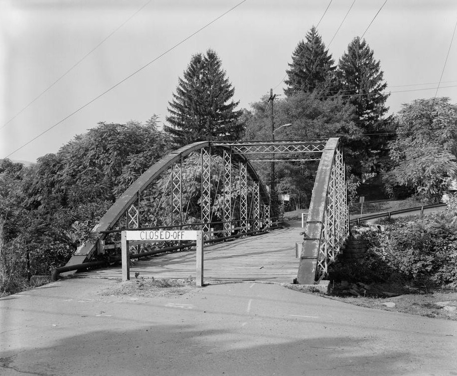
39°39′05″N 78°46′15″W / 39.651389°N 78.770833°WCumberland 42 Waverly Street Bridge 
September 7, 1984 Waverly St. at Georges Creek
39°29′23″N 79°02′34″W / 39.489722°N 79.042778°WWesternport 43 Western Maryland Railroad Right-of-Way, Milepost 126 to Milepost 160 July 23, 1981 Milepost 126 to Milepost 160
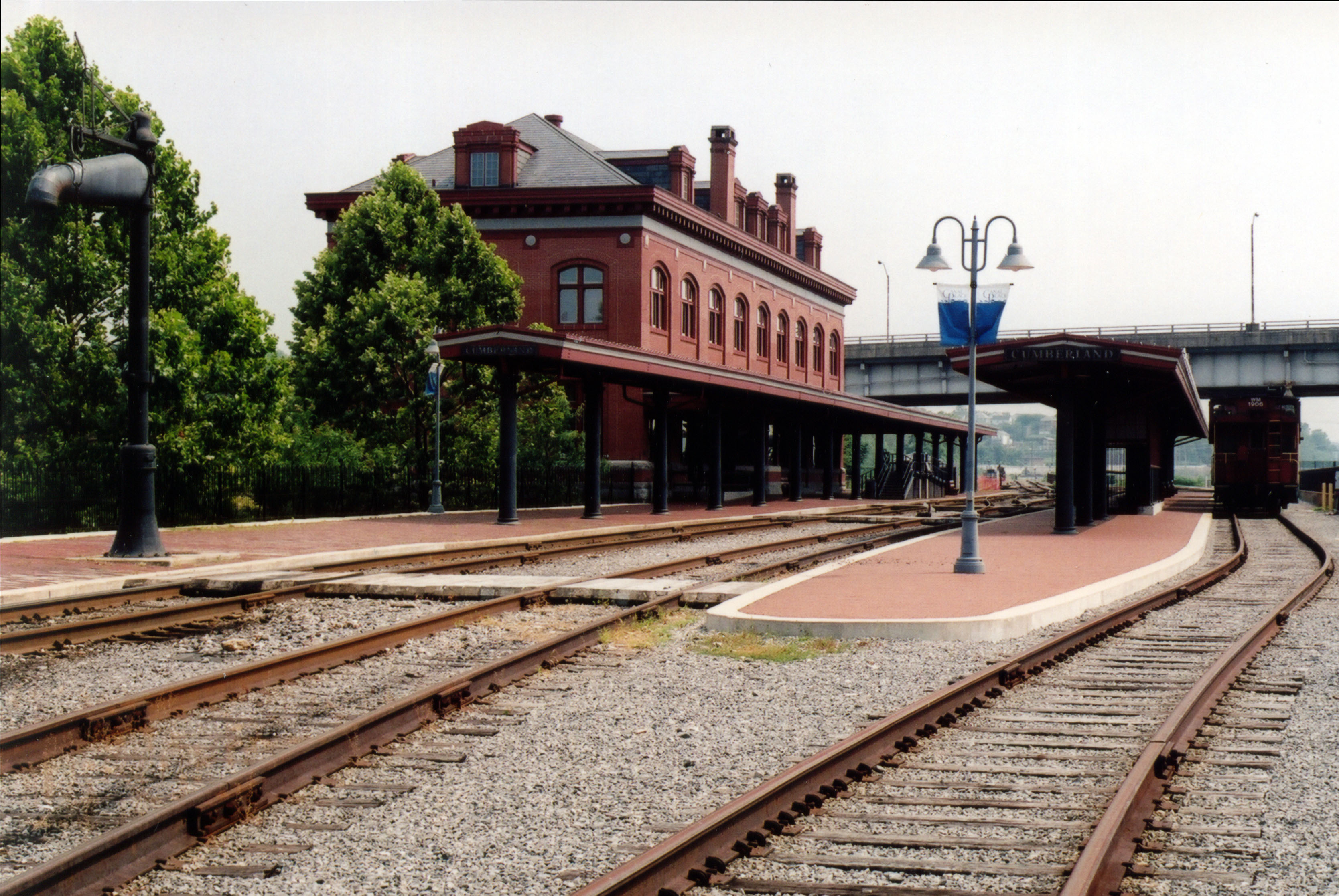
39°33′53″N 78°32′08″W / 39.564722°N 78.535556°WNorth Branch 44 Western Maryland Railway Station 
June 19, 1973 Canal St.
39°38′58″N 78°45′50″W / 39.649444°N 78.763889°WCumberland See also
- List of National Historic Landmarks in Maryland
- National Register of Historic Places listings in Maryland
References
- ^ The latitude and longitude information provided in this table was derived originally from the National Register Information System, which has been found to be fairly accurate for about 99% of listings. For about 1% of NRIS original coordinates, experience has shown that one or both coordinates are typos or otherwise extremely far off; some corrections may have been made. A more subtle problem causes many locations to be off by up to 150 yards, depending on location in the country: most NRIS coordinates were derived from tracing out latitude and longitudes off of USGS topographical quadrant maps created under the North American Datum of 1927, which differs from the current, highly accurate WGS84 GPS system used by Google maps. Chicago is about right, but NRIS longitudes in Washington are higher by about 4.5 seconds, and are lower by about 2.0 seconds in Maine. Latitudes differ by about 1.0 second in Florida. Some locations in this table may have been corrected to current GPS standards.
- ^ "National Register of Historic Places: Weekly List Actions". National Park Service, United States Department of the Interior. Retrieved on November 10, 2011.
- ^ Numbers represent an ordering by significant words. Various colorings, defined here, differentiate National Historic Landmark sites and National Register of Historic Places Districts from other NRHP buildings, structures, sites or objects.
- ^ "National Register Information System". National Register of Historic Places. National Park Service. . http://nrhp.focus.nps.gov/natreg/docs/All_Data.html.
U.S. National Register of Historic Places in Maryland Lists by county Allegany • Anne Arundel • Baltimore County • Calvert • Caroline • Carroll • Cecil • Charles • Dorchester • Frederick • Garrett • Harford • Howard • Kent • Montgomery • Prince George's • Queen Anne's • Somerset • St. Mary's • Talbot • Washington • Wicomico • Worcester

Lists by city Other lists Municipalities and communities of Allegany County, Maryland Cities 
Towns Barton | Lonaconing | Luke | Midland | Westernport
CDPs Other
communitiesAmcelle | Barrelville | Bel Air | Bellegrove | Bier | Borden Shaft | Bowling Green | Carlos | Clarysville | Corriganville | Cresaptown | Danville | Dawson | Detmold | Dickens | Eckhart Mines | Ellerslie | Evitts Creek | Flintstone | Franklin | George's Creek | Klondike | Little Orleans | McCoole | McKenzie | Mexico | Midlothian | Moscow | Mount Savage | Narrows Park | Nikep | North Branch | Oldtown | Pekin | Pinto | Pleasant Valley | Potomac Park | Rawlings | Spring Gap | Town Creek | Vale Summit | Woodland | Zihlman
Categories:- National Register of Historic Places in Maryland by county
- Allegany County, Maryland
-


Wikimedia Foundation. 2010.