- National Register of Historic Places listings in Allegan County, Michigan
-
The following is a list of Registered Historic Places in Allegan County, Michigan.
-
- This National Park Service list is complete through NPS recent listings posted November 10, 2011.[1]
[2] Landmark name [3] Image Date listed Location City or town Summary 1 All Saints' Episcopal Church December 27, 1984 252 Grand St.
42°39′23″N 86°12′03″W / 42.656389°N 86.200833°WSaugatuck 2 Edward D. Born House March 12, 1987 158 Hill St.
42°32′03″N 85°50′40″W / 42.534167°N 85.844444°WAllegan 3 Engelbert B. Born House March 12, 1987 128 Hill St.
42°31′59″N 85°50′41″W / 42.533056°N 85.844722°WAllegan 4 William H. Brown House July 8, 1987 800 Ely St.
42°31′09″N 85°51′55″W / 42.519167°N 85.865278°WAllegan 5 Cherry DeLefebvre House November 1, 1991 115 W. Chart St.
42°26′30″N 85°38′32″W / 42.441667°N 85.642222°WPlainwell 6 Douglas Union School July 21, 1995 130 Center St.
42°38′39″N 86°12′13″W / 42.644167°N 86.203611°WDouglas 7 Downtown Allegan Historic District March 12, 1987 Roughly bounded by Trowbridge, Locust, Hubbard, Brady, and Water Sts.
42°31′39″N 85°50′58″W / 42.5275°N 85.849444°WAllegan 8 J. F. Eesley Milling Co. Flour Mill-Elevator November 1, 1991 717 E. Bridge St.
42°26′35″N 85°37′54″W / 42.443056°N 85.631667°WPlainwell 9 Dorr E. Felt Mansion December 12, 1996 66th St., north of 138th Ave., Laketown Township
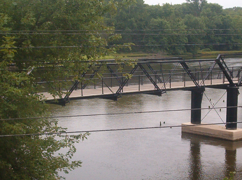
42°41′49″N 86°11′37″W / 42.696944°N 86.193611°WSaugatuck 10 Fifty-Seventh Street Bridge 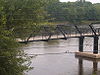
April 1, 1998 57th St. over the Kalamazoo River
42°39′05″N 86°06′25″W / 42.651389°N 86.106944°WManlius Township 11 Henry Franks House March 12, 1987 535 Ely St.
42°31′26″N 85°51′33″W / 42.523889°N 85.859167°WAllegan 12 Griswold Civic Center Historic District March 12, 1987 Roughly bounded by Hubbard, Walnut, and Trowbridge Sts.
42°31′38″N 85°51′10″W / 42.527222°N 85.852778°WAllegan 13 Hacklander Site July 27, 1973 Address Restricted Douglas 14 HENNEPIN Self-unloading Steamship (Shipwreck) February 1, 2008 Address Restricted South Haven 15 Island Historic District November 1, 1991 Roughly bounded by Hill St., Anderson St., the mill race, Park St., Bannister St. and the Kalamazoo River
42°26′26″N 85°38′24″W / 42.440556°N 85.64°WPlainwell 16 Lake Shore Chapel March 28, 1997 Shorewood Rd., junction with Campbell Rd.
42°39′02″N 86°13′18″W / 42.650556°N 86.221667°WDouglas 17 Leiendecker's Inn-Coral Gables 
July 16, 2009 220 Water St.
42°39′21″N 86°12′19″W / 42.655758°N 86.205225°WSaugatuck 18 Augustus Lilly House March 12, 1987 132 Cora St.
42°32′17″N 85°50′41″W / 42.538056°N 85.844722°WAllegan 19 Marshall Street Historic District March 12, 1987 231-237, 335-705, 232-630 Marshall St.
42°31′16″N 85°50′34″W / 42.521111°N 85.842778°WAllegan 20 William C. Messenger House March 12, 1987 310 River St.
42°32′03″N 85°50′54″W / 42.534167°N 85.848333°WAllegan 21 Michigan Paper Company Mill Historic District September 8, 2011 200 Allegan St.
42°32′03″N 85°50′54″W / 42.534167°N 85.848333°WPlainwell 22 Navigation Structures at Saugatuck Harbor November 8, 2001 Western end of Riverside Dr.
42°40′07″N 86°11′52″W / 42.668521°N 86.197658°WSaugatuck 23 Oakwood Cemetery Chapel March 12, 1987 Arbor St.
42°31′38″N 85°51′44″W / 42.527222°N 85.862222°WAllegan 24 Old Wing Mission August 13, 1986 5298 E. 147th Ave.
42°45′42″N 86°04′02″W / 42.761667°N 86.067222°WFillmore 25 Pritchard's Outlook Historic District July 8, 1987 Roughly bounded by Park Dr., Walnut, Crescent, and Davis Sts.
42°31′46″N 85°51′20″W / 42.529444°N 85.855556°WAllegan 26 Second Street Bridge 
June 11, 1980 2nd St.
42°31′52″N 85°50′53″W / 42.531111°N 85.848056°WAllegan 27 Second Street-Gun River Bridge December 17, 1999 2nd St. over Gun River (Martin Township)
42°30′56″N 85°33′46″W / 42.515556°N 85.562778°WHooper 28 James Noble Sherwood House December 27, 1984 768 Riverview Dr.
42°25′55″N 85°37′09″W / 42.431944°N 85.619167°WPlainwell 29 Sarah Lowe Stedman House March 12, 1987 632 Grand St.
42°31′59″N 85°50′05″W / 42.533056°N 85.834722°WAllegan 30 Warner P. Sutton House January 22, 1992 736 Pleasant St.
42°39′13″N 86°11′47″W / 42.653611°N 86.196389°WSaugatuck 31 West Bridge Street Historic District November 1, 1991 320, 414-550 and 321-563 W. Bridge St.
42°26′32″N 85°38′57″W / 42.442222°N 85.649167°WPlainwell See also
- List of Registered Historic Places in Michigan
References
- ^ "National Register of Historic Places: Weekly List Actions". National Park Service, United States Department of the Interior. Retrieved on November 10, 2011.
- ^ Numbers represent an ordering by significant words. Various colorings, defined here, differentiate National Historic Landmark sites and National Register of Historic Places Districts from other NRHP buildings, structures, sites or objects.
- ^ "National Register Information System". National Register of Historic Places. National Park Service. . http://nrhp.focus.nps.gov/natreg/docs/All_Data.html.
U.S. National Register of Historic Places Topics Lists by states Alabama • Alaska • Arizona • Arkansas • California • Colorado • Connecticut • Delaware • Florida • Georgia • Hawaii • Idaho • Illinois • Indiana • Iowa • Kansas • Kentucky • Louisiana • Maine • Maryland • Massachusetts • Michigan • Minnesota • Mississippi • Missouri • Montana • Nebraska • Nevada • New Hampshire • New Jersey • New Mexico • New York • North Carolina • North Dakota • Ohio • Oklahoma • Oregon • Pennsylvania • Rhode Island • South Carolina • South Dakota • Tennessee • Texas • Utah • Vermont • Virginia • Washington • West Virginia • Wisconsin • WyomingLists by territories Lists by associated states Other Categories:- National Register of Historic Places in Michigan by county
- Allegan County, Michigan
- Buildings and structures in Allegan County, Michigan
-


Wikimedia Foundation. 2010.