- National Register of Historic Places listings in Calhoun County, Michigan
-
The following is a list of Registered Historic Places in Calhoun County, Michigan.
-
- This National Park Service list is complete through NPS recent listings posted November 10, 2011.[1]
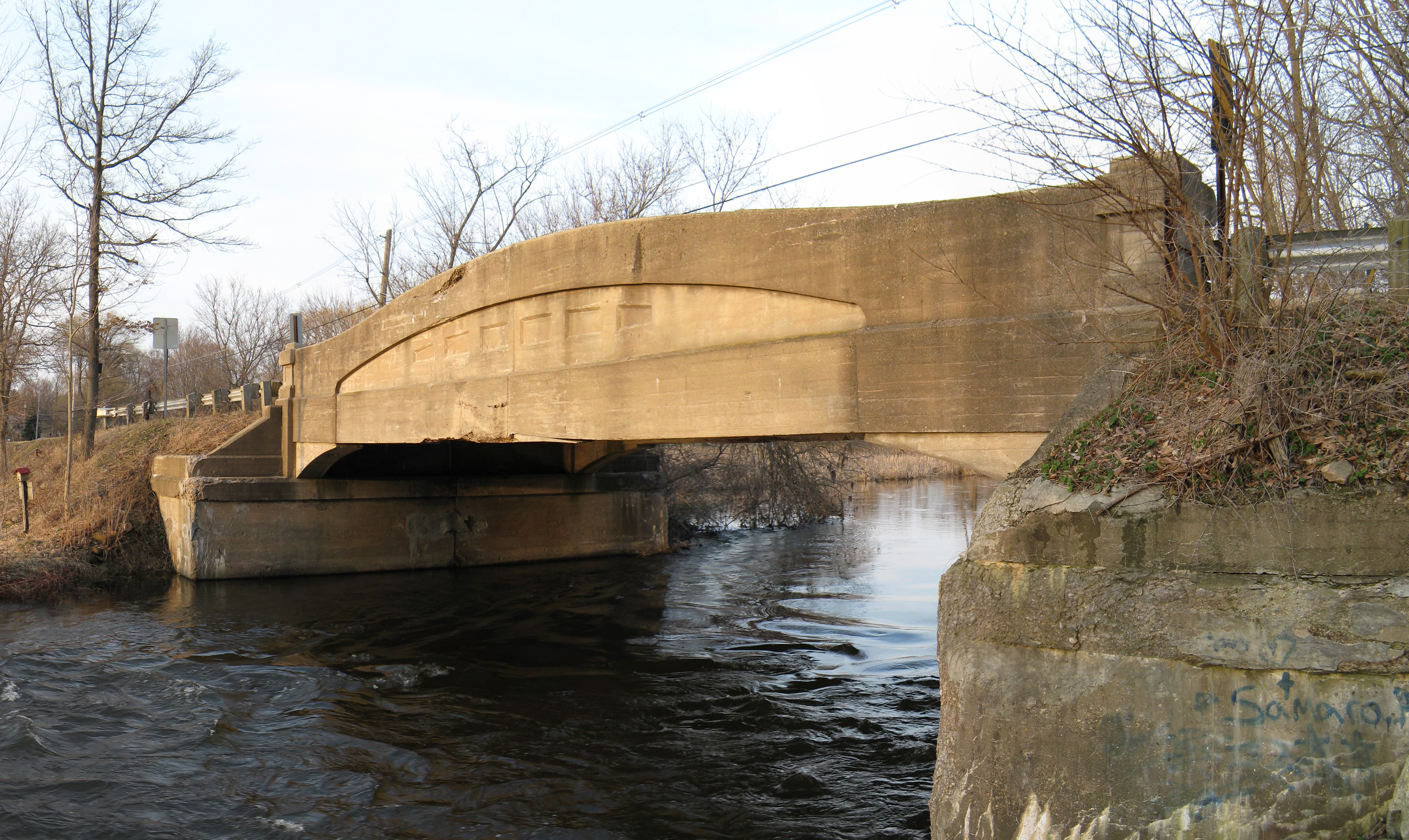
[2] Landmark name [3] Image Date listed Location City or town Summary 1 12 Mile Road- Kalamazoo River Bridge December 22, 1999 12 Mile Rd. over Kalamazoo River
42°16′12″N 85°03′41″W / 42.27°N 85.061389°WMarshall 2 23 Mile Road-Kalamazoo River Bridge 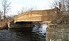
December 22, 1999 23 Mile Rd. over Kalamazoo River
42°16′06″N 84°50′52″W / 42.268333°N 84.847778°WMarengo 3 Advent Historic District June 30, 1994 Roughly bounded by N. Washington Ave., Champion St., Hubbard St. and Greenwood Ave.
42°19′49″N 85°11′44″W / 42.330278°N 85.195556°WBattle Creek 4 Adam C. Arnold Block March 24, 1983 12-14 E. State St.
42°19′09″N 85°10′54″W / 42.319167°N 85.181667°WBattle Creek This building has been demolished.[4] 5 Battle Creek City Hall April 5, 1984 103 E. Michigan Ave.
42°19′00″N 85°10′46″W / 42.316667°N 85.179444°WBattle Creek 6 Battle Creek Post Office August 21, 1972 67 E. Michigan St.
42°19′02″N 85°10′48″W / 42.317222°N 85.18°WBattle Creek 7 Boys' Club Building May 19, 2004 115 West St.
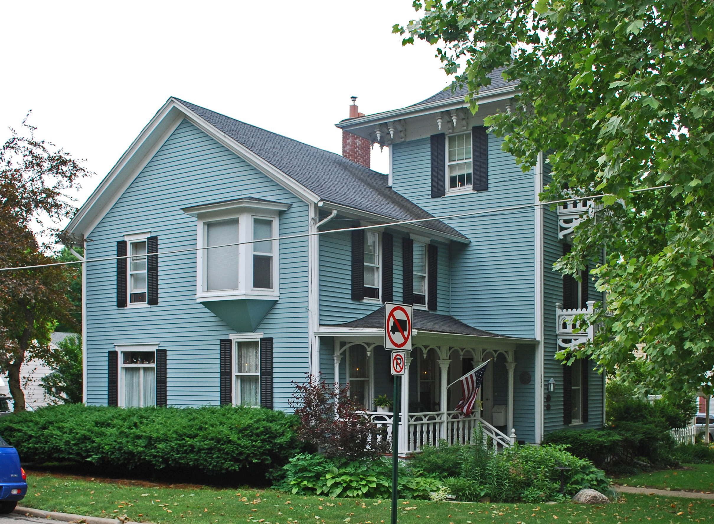
42°19′35″N 85°10′58″W / 42.326525°N 85.1828°WBattle Creek 8 Harold C. Brooks House 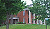
July 8, 1970 310 N. Kalamazoo Ave.
42°16′28″N 84°57′50″W / 42.274444°N 84.963889°WMarshall Boundary increase (added 1984-04-19): 310 N. Kalamazoo Ave. 9 James and Anne Atmore Bryant Farmstead June 20, 2002 12557 L Dr. N. (Convis Township)
42°20′01″N 85°03′05″W / 42.333611°N 85.051389°WWattles Park 10 Capitol Hill School 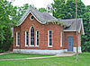
March 16, 1972 603 Washington St.
42°15′52″N 84°57′10″W / 42.264444°N 84.952778°WMarshall 11 Central National Tower March 20, 2008 70 W. Michigan Ave.
42°19′17″N 85°11′03″W / 42.321389°N 85.184167°WBattle Creek 12 City Hall Historic District April 4, 1996 E. Michigan Ave.,from Monroe to Jay Sts.
42°19′01″N 85°10′47″W / 42.316944°N 85.179722°WBattle Creek 13 Cortright-Van Patten Mill August 31, 1979 109 Byron St.
42°08′47″N 84°48′10″W / 42.146389°N 84.802778°WHomer Burned down completely in fire on May 16, 2010. The mill was in operation until the 1970s. In 1974 it was purchased by James L. Miller and converted into a dinner theater. John and Alice Blakemore bought the building in 1996 and opened it as a restaurant. In 2006, new owners Lance and Susan Cuffle opened a bar and restaurant and operated a seasonal haunted house.[5][6] 14 Emporium 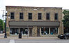
August 9, 1979 154-156 W. Michigan Ave.
42°16′20″N 84°57′35″W / 42.272222°N 84.959722°WMarshall 15 Federal Center 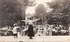
July 30, 1974 74 N. Washington St.
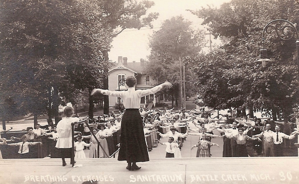
42°19′37″N 85°11′16″W / 42.326944°N 85.187778°WBattle Creek Once known as Battle Creek Sanitarium and Western Health Reform Institute 16 Gardner House May 6, 1971 509 S. Superior St.
42°14′29″N 84°46′44″W / 42.241389°N 84.778889°WAlbion 17 Governor's Mansion 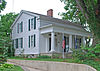
January 8, 1975 621 S. Marshall Ave.
42°15′54″N 84°57′16″W / 42.265°N 84.954444°WMarshall 18 Homer Village Historic District July 25, 1996 Roughly bounded by Leigh, Burgess, Hamilton, School, and Byron Sts.
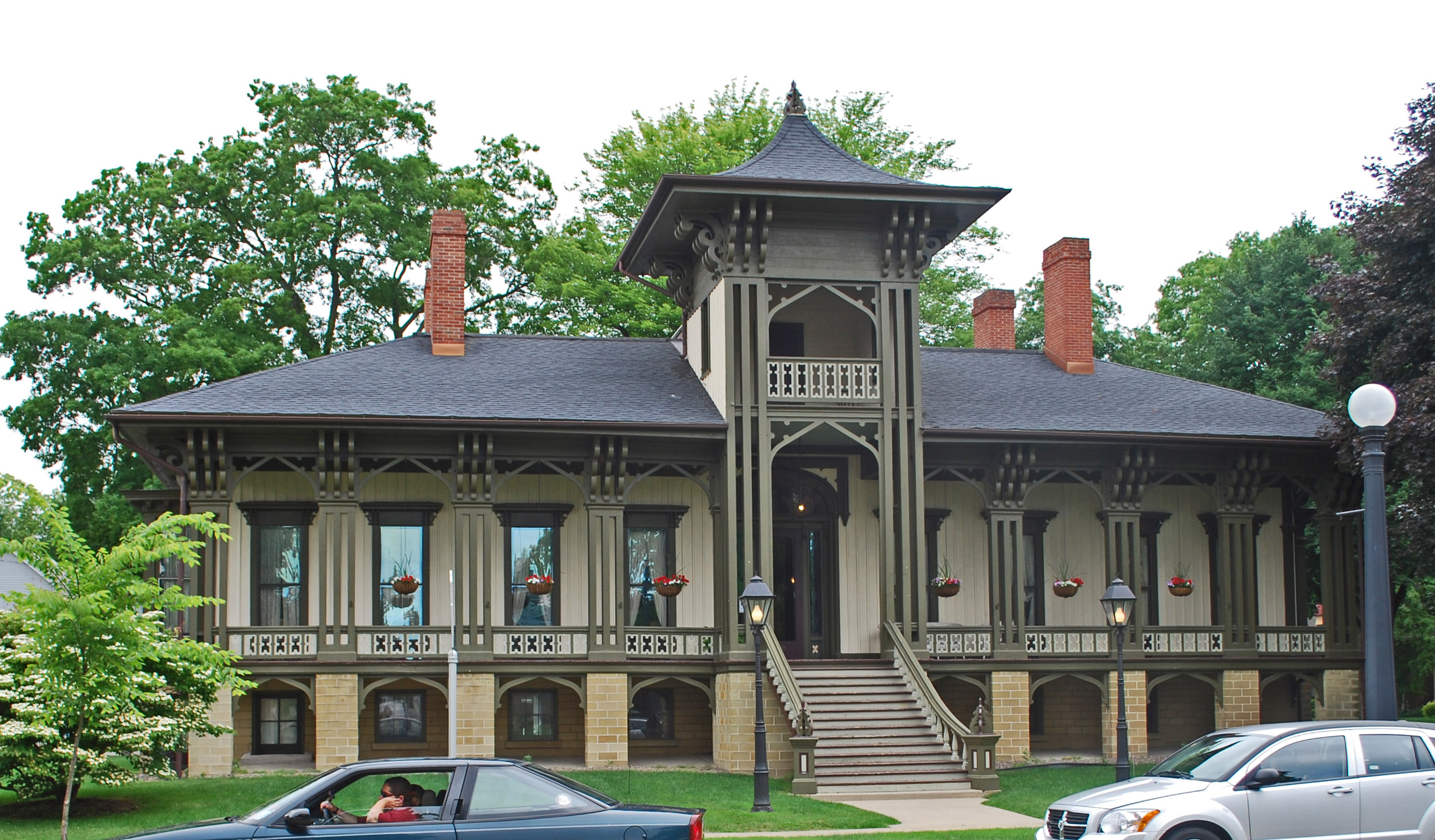
42°08′39″N 84°48′27″W / 42.144167°N 84.8075°WHomer 19 Honolulu House 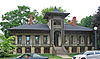
July 8, 1970 107 N. Kalamazoo St.
42°16′22″N 84°57′52″W / 42.272778°N 84.964444°WMarshall 20 Joy House 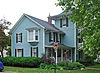
April 19, 1972 224 N. Kalamazoo Ave.
42°16′25″N 84°57′49″W / 42.273611°N 84.963611°WMarshall 21 W. K. Kellogg House April 18, 1985 256 W. Van Buren St.
42°19′31″N 85°11′20″W / 42.325278°N 85.188889°WBattle Creek 22 Isaac Lockwood House July 22, 1994 14011 Verona Rd., Marshall Township
42°17′32″N 85°01′23″W / 42.292222°N 85.023056°WMarshall 23 Maple Street Historic District July 25, 1996 161-342 Capital Ave., NE.
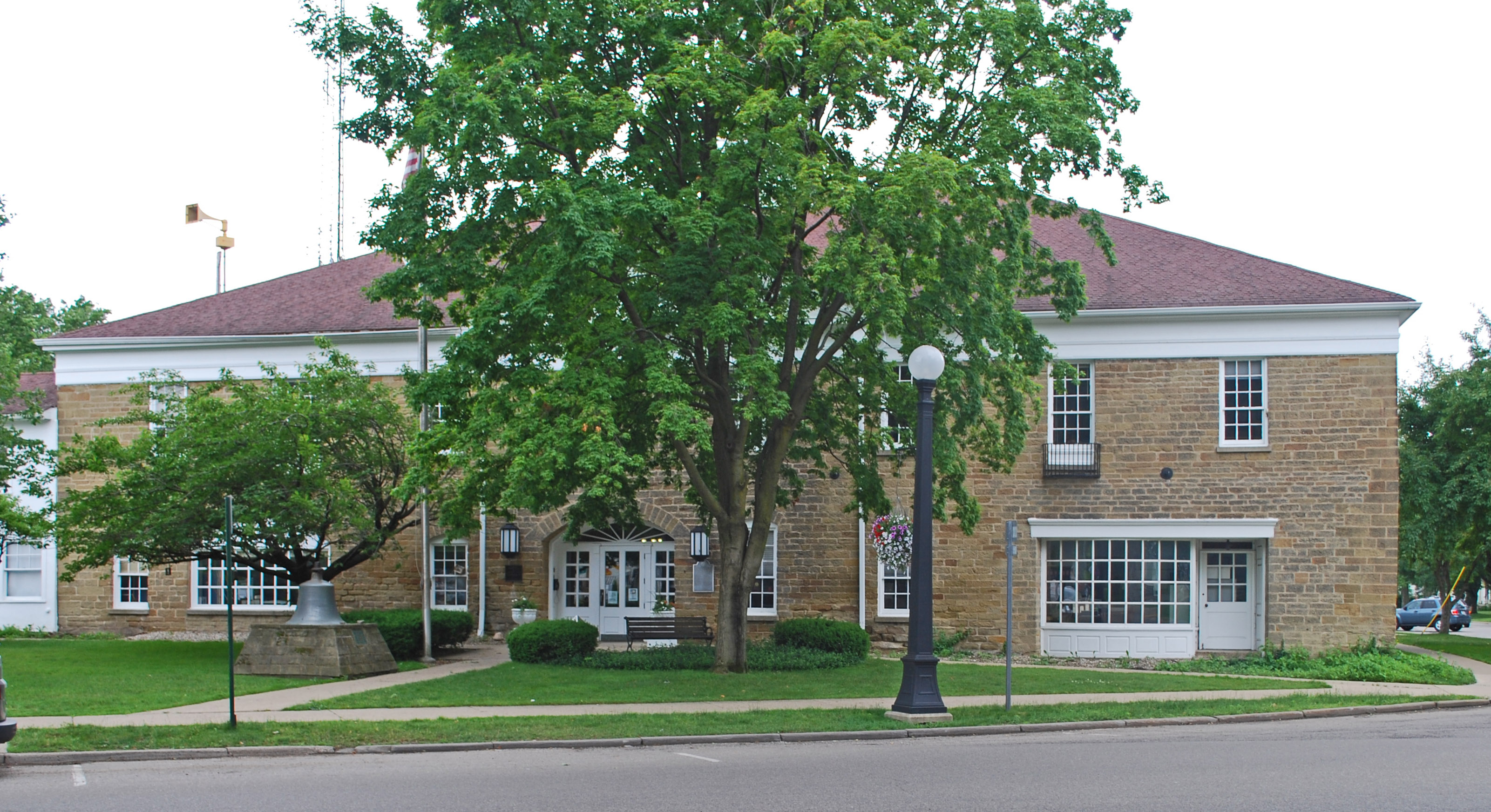
42°19′22″N 85°10′23″W / 42.322778°N 85.173056°WBattle Creek 24 Marshall Michigan Historic Landmark District 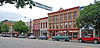
July 17, 1991 Roughly bounded by Plum St., East Dr., Forest St. and Hanover St.
42°16′27″N 84°57′48″W / 42.274167°N 84.963333°WMarshall 25 Masonic Temple Building 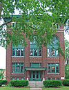
September 29, 1988 115 E. Green St.
42°16′17″N 84°57′29″W / 42.271389°N 84.958056°WMarshall 26 Merritt Woods Historic District June 17, 1994 Roughly bounded by Orchard, Emmett and Chestnut Sts. and northernmost parts of Woodmer Dr. and Crest Dr.
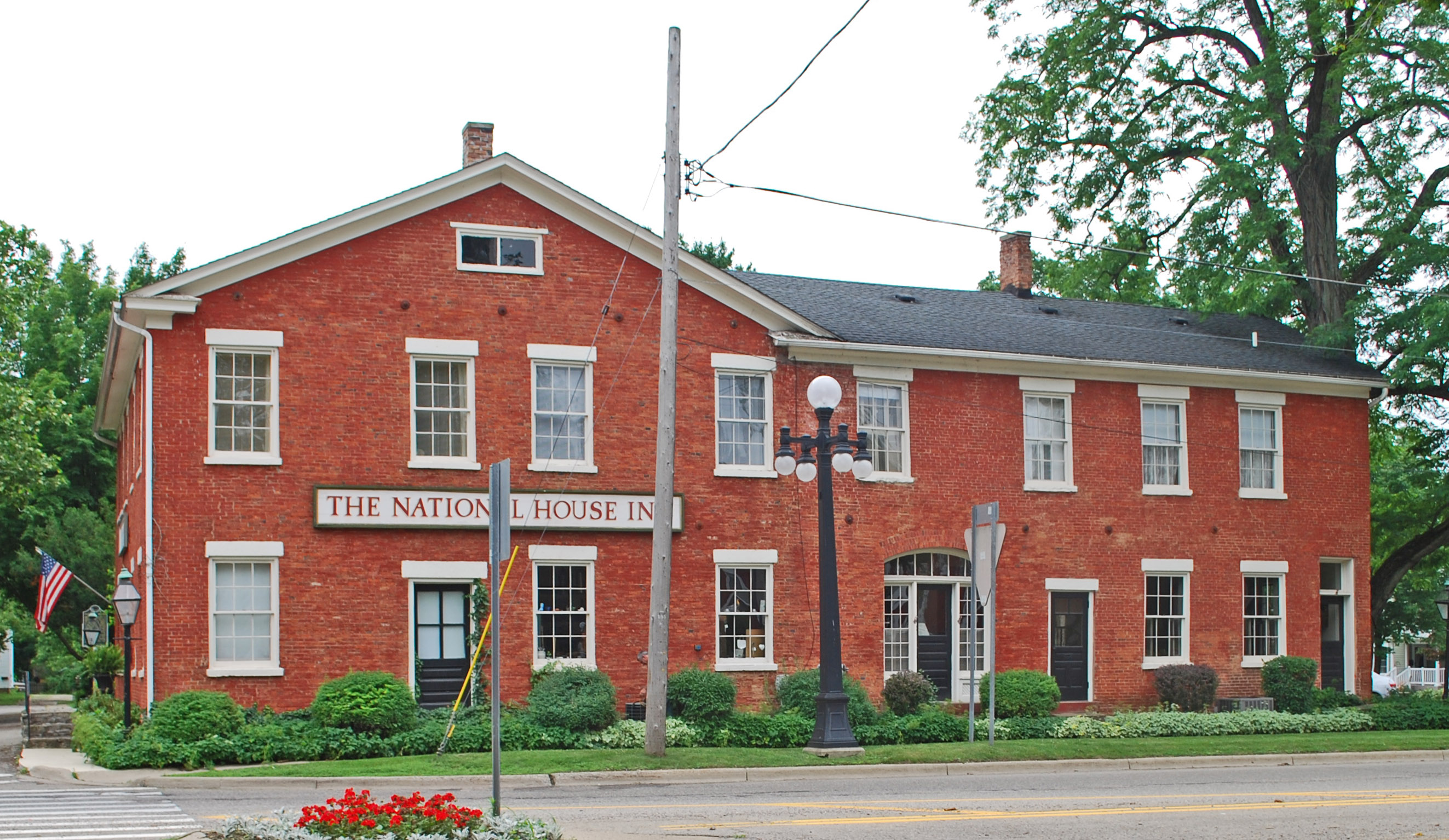
42°19′51″N 85°10′19″W / 42.330833°N 85.171944°WBattle Creek 27 National House 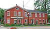
January 3, 1978 102 S. Parkview
42°16′19″N 84°57′52″W / 42.271944°N 84.964444°WMarshall 28 Oakhill 
December 31, 1974 410 N. Eagle St.
42°16′40″N 84°57′21″W / 42.277778°N 84.955833°WMarshall 29 Penn Central Railway Station 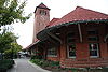
April 16, 1971 W. Van Buren
42°19′17″N 85°10′54″W / 42.321389°N 85.181667°WBattle Creek 30 Penniman Castle May 2, 2001 443 Main St.
42°18′21″N 85°10′12″W / 42.305833°N 85.17°WBattle Creek 31 Pine Creek Potawatomi Reservation March 30, 1973 1 mi (1.6 km) west of Athens
42°06′15″N 85°15′32″W / 42.104167°N 85.258889°WAthens 32 William Prindle Livery Stable 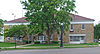
August 19, 1982 323 W. Michigan Ave.
42°16′17″N 84°57′50″W / 42.271389°N 84.963889°WMarshall 33 Eugene P. Robertson House February 8, 1988 412 S. Clinton St.
42°14′32″N 84°45′17″W / 42.242222°N 84.754722°WAlbion 34 Roosevelt Community House August 20, 2001 107 Evergreen Rd.
42°20′23″N 85°15′39″W / 42.339722°N 85.260833°WSpringfield 35 Stonehall 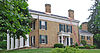
June 28, 1972 303 N. Kalamazoo St.
42°16′27″N 84°57′52″W / 42.274167°N 84.964444°WMarshall 36 Stow-Hasbrouck House December 2, 1993 18600 16 Mile Rd., Convis Township
42°20′34″N 84°59′05″W / 42.342778°N 84.984722°WMarshall 37 Superior Street Commercial Historic District August 18, 1997 Roughly bounded by the Kalamazoo River, Cass, Elm, Eaton and Vine Sts.
42°14′40″N 84°45′13″W / 42.244444°N 84.753611°WAlbion 38 Van Buren Street Historic District April 4, 1996 Roughly, Van Buren St. from Capital and Cherry Sts. to Calhoun St. and North Ave.
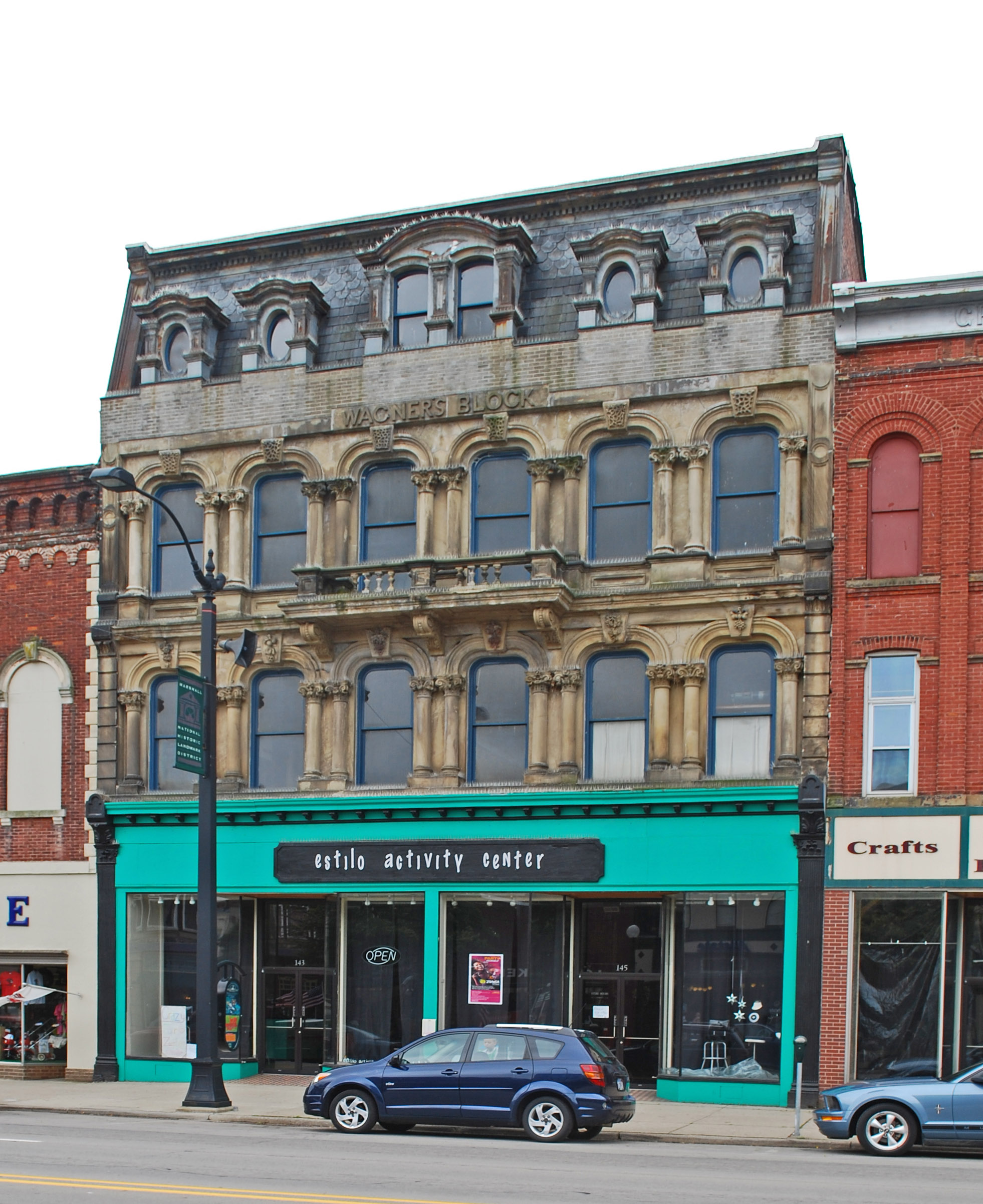
42°19′22″N 85°10′51″W / 42.322778°N 85.180833°WBattle Creek 39 Wagner's Block 
October 7, 1971 143 W. Michigan Ave.
42°16′18″N 84°57′35″W / 42.271667°N 84.959722°WMarshall 40 Wright-Brooks House 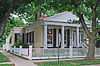
March 16, 1972 122 N. High St.
42°16′22″N 84°57′12″W / 42.272778°N 84.953333°WMarshall See also
- List of Registered Historic Places in Michigan
References
- ^ "National Register of Historic Places: Weekly List Actions". National Park Service, United States Department of the Interior. Retrieved on November 10, 2011.
- ^ Numbers represent an ordering by significant words. Various colorings, defined here, differentiate National Historic Landmark sites and National Register of Historic Places Districts from other NRHP buildings, structures, sites or objects.
- ^ "National Register Information System". National Register of Historic Places. National Park Service. . http://nrhp.focus.nps.gov/natreg/docs/All_Data.html.
- ^ Arnold, Adam C., Block (Demolished) from the state of Michigan.
- ^ "Homer Mill fire 'completely devastating' for employees and community; cause of blaze unknown", Aaron Aupperlee, Jackson Citizen Patriot, May 17, 2010
- ^ "Officers continue to investigate fire at Homer Mill", Danielle Quisenberry, Jackson Citizen Patriot, May 31, 2010
U.S. National Register of Historic Places Topics Lists by states Alabama • Alaska • Arizona • Arkansas • California • Colorado • Connecticut • Delaware • Florida • Georgia • Hawaii • Idaho • Illinois • Indiana • Iowa • Kansas • Kentucky • Louisiana • Maine • Maryland • Massachusetts • Michigan • Minnesota • Mississippi • Missouri • Montana • Nebraska • Nevada • New Hampshire • New Jersey • New Mexico • New York • North Carolina • North Dakota • Ohio • Oklahoma • Oregon • Pennsylvania • Rhode Island • South Carolina • South Dakota • Tennessee • Texas • Utah • Vermont • Virginia • Washington • West Virginia • Wisconsin • WyomingLists by territories Lists by associated states Other Categories:- National Register of Historic Places in Michigan by county
- Calhoun County, Michigan
- Buildings and structures in Calhoun County, Michigan
-


Wikimedia Foundation. 2010.