- National Register of Historic Places listings in Dorchester County, South Carolina
-
 Location of Dorchester County in South Carolina
This is a list of the National Register of Historic Places listings in Dorchester County, South Carolina.
This is intended to be a complete list of the properties and districts on the National Register of Historic Places in Dorchester County, South Carolina, United States. The locations of National Register properties and districts for which the latitude and longitude coordinates are included below, may be seen in a Google map.[1]
There are 12 properties and districts listed on the National Register in the county, including 1 National Historic Landmark.
-
- This National Park Service list is complete through NPS recent listings posted November 10, 2011.[2]
Current listings
[3] Landmark name [4] Image Date listed Location City or town Summary 1 Appleby's Methodist Church February 14, 1978 Southwest of St. George at the junction of State Highways 19 and 71
33°08′14″N 80°39′03″W / 33.137222°N 80.650833°WSt. George 2 Ashley River Historic District 
September 12, 1994 Roughly along the Ashley River from just east of South Carolina Highway 165 to the Seaboard Coast Line railroad bridge
32°54′45″N 80°07′22″W / 32.9125°N 80.122778°WCharleston Extends into Charleston County 3 Ashley River Road November 21, 1983 South Carolina Highway 61 between Church Creek and South Carolina Highway 165
32°53′23″N 80°07′15″W / 32.889722°N 80.120833°WCooke Crossroads Extends into Charleston County 4 Carroll Place July 25, 1974 Junction of Quaker and Wire Rds.
33°07′39″N 80°38′08″W / 33.1275°N 80.635556°WSt. George 5 Cypress Methodist Camp Ground April 26, 1978 East of Ridgeville on South Carolina Highway 182
33°06′18″N 80°10′27″W / 33.105°N 80.174167°WRidgeville 6 Indian Fields Methodist Campground 
March 30, 1973 About 4 miles northeast of St. George on South Carolina Highway 73
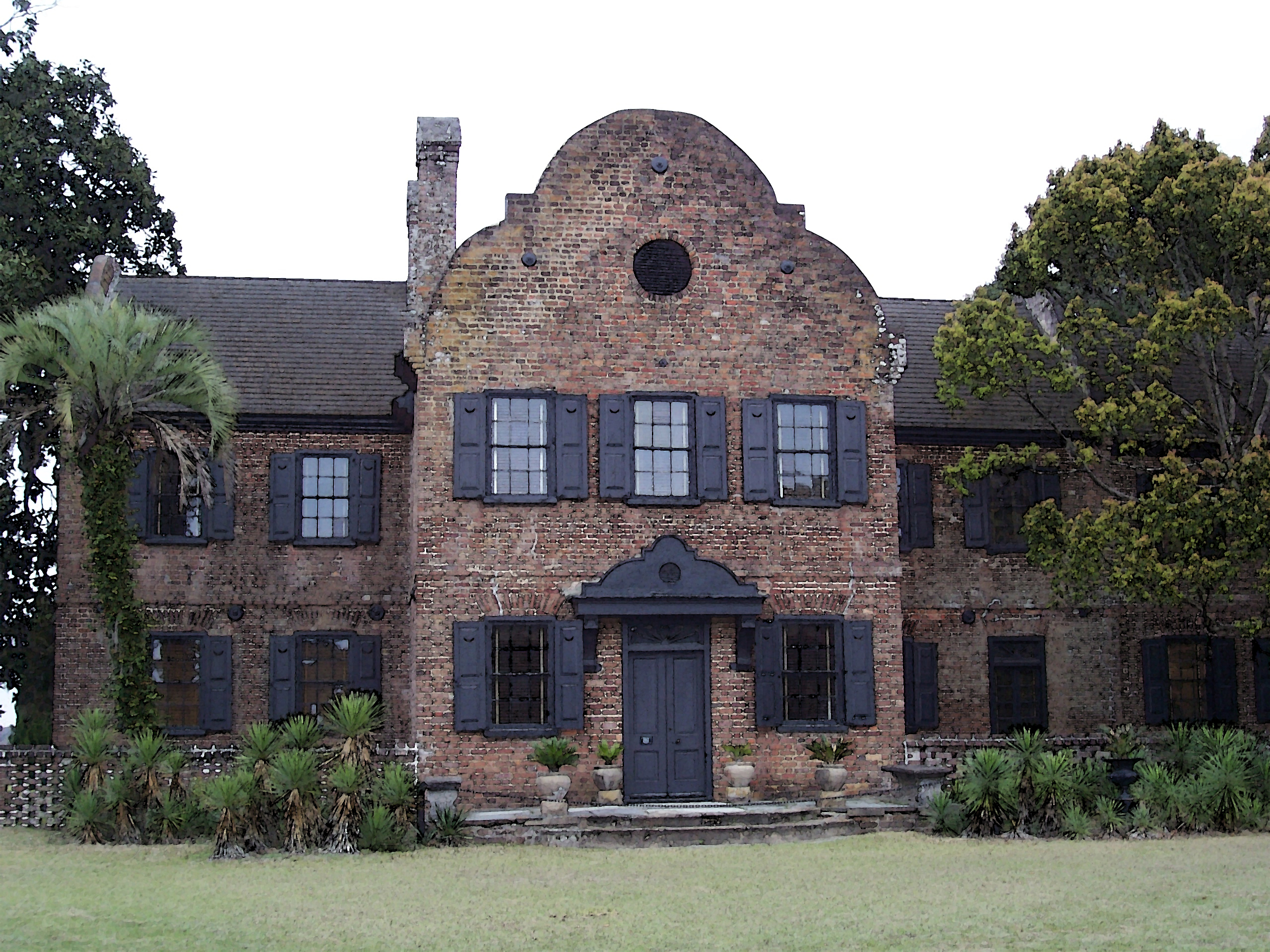
33°13′22″N 80°32′46″W / 33.222778°N 80.546111°WSt. George 7 Middleton Place 
May 6, 1971 Southeast of Summerville on U.S. Route 61
32°54′19″N 80°08′15″W / 32.905278°N 80.1375°WSummerville Remnants of an 18th-century rice plantation on the Ashley River; now a museum 8 Newington Plantation September 17, 1974 Address Restricted Stallsville 9 Old Dorchester December 3, 1969 6 miles south of Summerville on South Carolina Highway 642
32°57′01″N 80°10′13″W / 32.950278°N 80.170278°WSummerville 10 Old White Meeting House Ruins and Cemetery February 8, 2005 South Carolina Highway 642, approximately 0.5 miles southeast of its junction with South Carolina Highway 165
32°57′56″N 80°11′41″W / 32.965556°N 80.194722°WSummerville 11 St. Paul Camp Ground April 30, 1998 940 St. Paul Rd.
33°12′17″N 80°28′57″W / 33.204722°N 80.4825°WHarleyville 12 Summerville Historic District May 19, 1976 Roughly bounded by S. Railroad Ave., Magnolia and Main Sts., and the town boundary
33°00′53″N 80°10′59″W / 33.014722°N 80.183056°WSummerville See also
- List of National Historic Landmarks in South Carolina
- National Register of Historic Places listings in South Carolina
References
- ^ The latitude and longitude information provided in this table was derived originally from the National Register Information System, which has been found to be fairly accurate for about 99% of listings. For about 1% of NRIS original coordinates, experience has shown that one or both coordinates are typos or otherwise extremely far off; some corrections may have been made. A more subtle problem causes many locations to be off by up to 150 yards, depending on location in the country: most NRIS coordinates were derived from tracing out latitude and longitudes off of USGS topographical quadrant maps created under the North American Datum of 1927, which differs from the current, highly accurate WGS84 GPS system used by Google maps. Chicago is about right, but NRIS longitudes in Washington are higher by about 4.5 seconds, and are lower by about 2.0 seconds in Maine. Latitudes differ by about 1.0 second in Florida. Some locations in this table may have been corrected to current GPS standards.
- ^ "National Register of Historic Places: Weekly List Actions". National Park Service, United States Department of the Interior. Retrieved on November 10, 2011.
- ^ Numbers represent an ordering by significant words. Various colorings, defined here, differentiate National Historic Landmark sites and National Register of Historic Places Districts from other NRHP buildings, structures, sites or objects.
- ^ "National Register Information System". National Register of Historic Places. National Park Service. . http://nrhp.focus.nps.gov/natreg/docs/All_Data.html.
U.S. National Register of Historic Places in South Carolina Lists by county Abbeville • Aiken • Allendale • Anderson • Bamberg • Barnwell • Beaufort • Berkeley • Calhoun • Charleston • Cherokee • Chester • Chesterfield • Clarendon • Colleton • Darlington • Dillon • Dorchester • Edgefield • Fairfield • Florence • Georgetown • Greenville • Greenwood • Hampton • Horry • Jasper • Kershaw • Lancaster • Laurens • Lee • Lexington • Marion • Marlboro • McCormick • Newberry • Oconee • Orangeburg • Pickens • Richland • Saluda • Spartanburg • Sumter • Union • Williamsburg • York

Lists by city Other lists Municipalities and communities of Dorchester County, South Carolina City 
Towns Harleyville | Lincolnville‡ | Reevesville | Ridgeville | St. George | Summerville‡
Ghost town Footnotes ‡This populated place also has portions in an adjacent county or counties
Categories:- Dorchester County, South Carolina
- National Register of Historic Places in South Carolina by county
- Buildings and structures in Dorchester County, South Carolina
-


Wikimedia Foundation. 2010.