- National Register of Historic Places listings in Hampton County, South Carolina
-
 Location of Hampton County in South Carolina
This is a list of the National Register of Historic Places listings in Hampton County, South Carolina.
This is intended to be a complete list of the properties on the National Register of Historic Places in Hampton County, South Carolina, United States. The locations of National Register properties for which the latitude and longitude coordinates are included below, may be seen in a map.[1]
There are 12 properties listed on the National Register in the county.
-
- This National Park Service list is complete through NPS recent listings posted November 10, 2011.[2]
Current listings
[3] Landmark name [4] Image Date listed Location City or town Summary 1 American Legion Hut October 27, 2000 Junction of Hoover St. and Jackson Ave.
32°52′19″N 81°07′03″W / 32.871944°N 81.1175°WHampton 2 Bank of Hampton May 30, 2001 15 Elm St., E.
32°51′59″N 81°06′31″W / 32.866389°N 81.108611°WHampton 3 Cohasset 
July 24, 1986 U.S. Route 601
32°55′55″N 81°04′40″W / 32.931944°N 81.077778°WCrocketville 4 Gravel Hill Plantation May 10, 2010 3954 Augusta Stage Coach Rd
Hampton 5 Hampton Colored School February 28, 1991 W. Holly St. east of its junction with Hoover St.
32°52′04″N 81°07′15″W / 32.867778°N 81.120833°WHampton 6 Hampton County Courthouse December 12, 1978 U.S. Route 278
32°46′32″N 81°06′33″W / 32.775556°N 81.109167°WHampton 7 Hampton County Jail June 23, 2011 702 1st St., W.
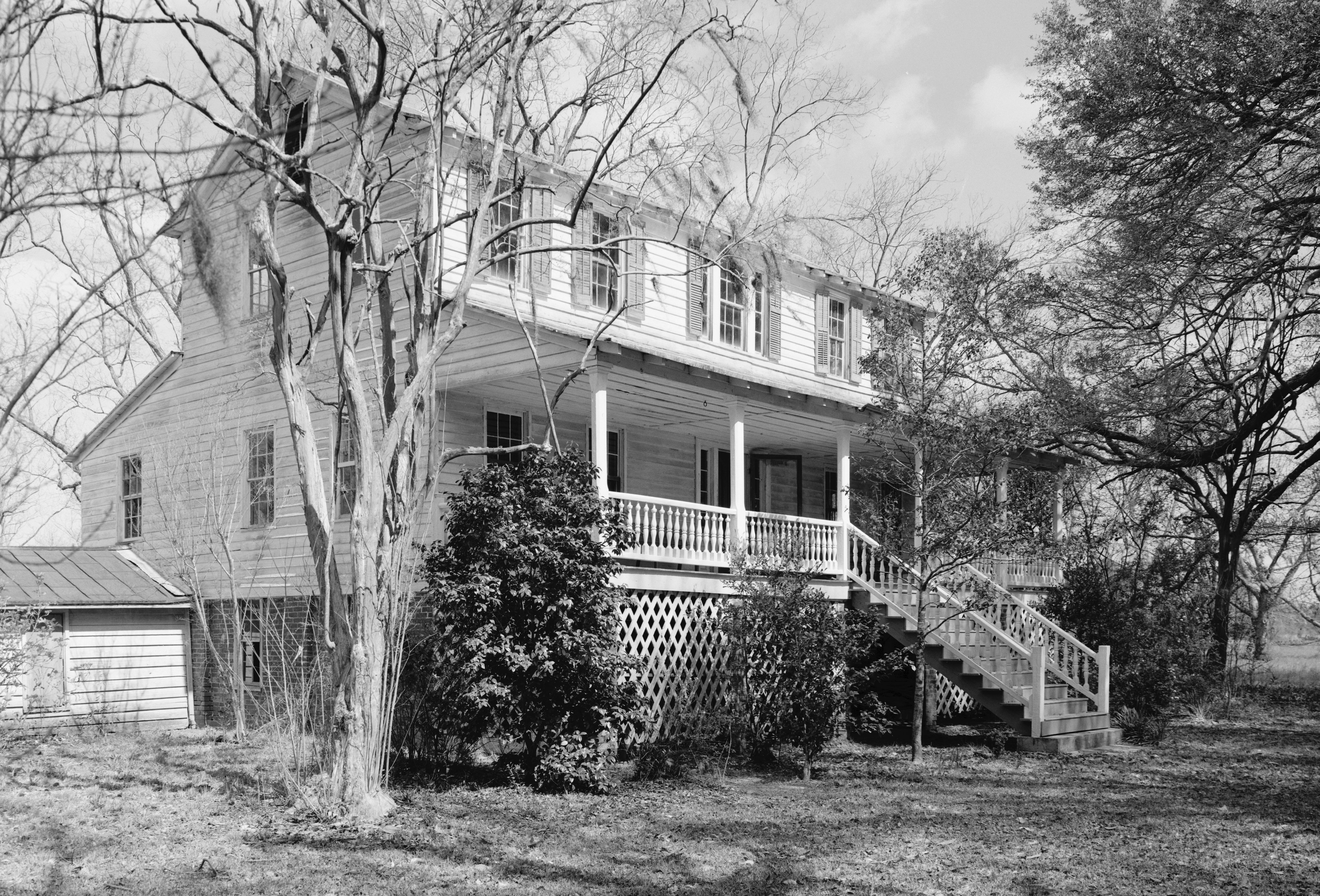
Hampton 8 John Lawton House July 1, 2009 118 3rd. St.
32°45′14″N 81°14′22″W / 32.753878°N 81.239325°WEstill 9 Oak Grove July 12, 1976 Southwest of Brunson Brunson 10 Hattie J. Peeples House October 13, 1992 109 Carolina Ave., W.
32°51′02″N 81°04′54″W / 32.850556°N 81.081667°WVarnville 11 The Pineland July 8, 1999 The Pineland Lane, off U.S. Route 321
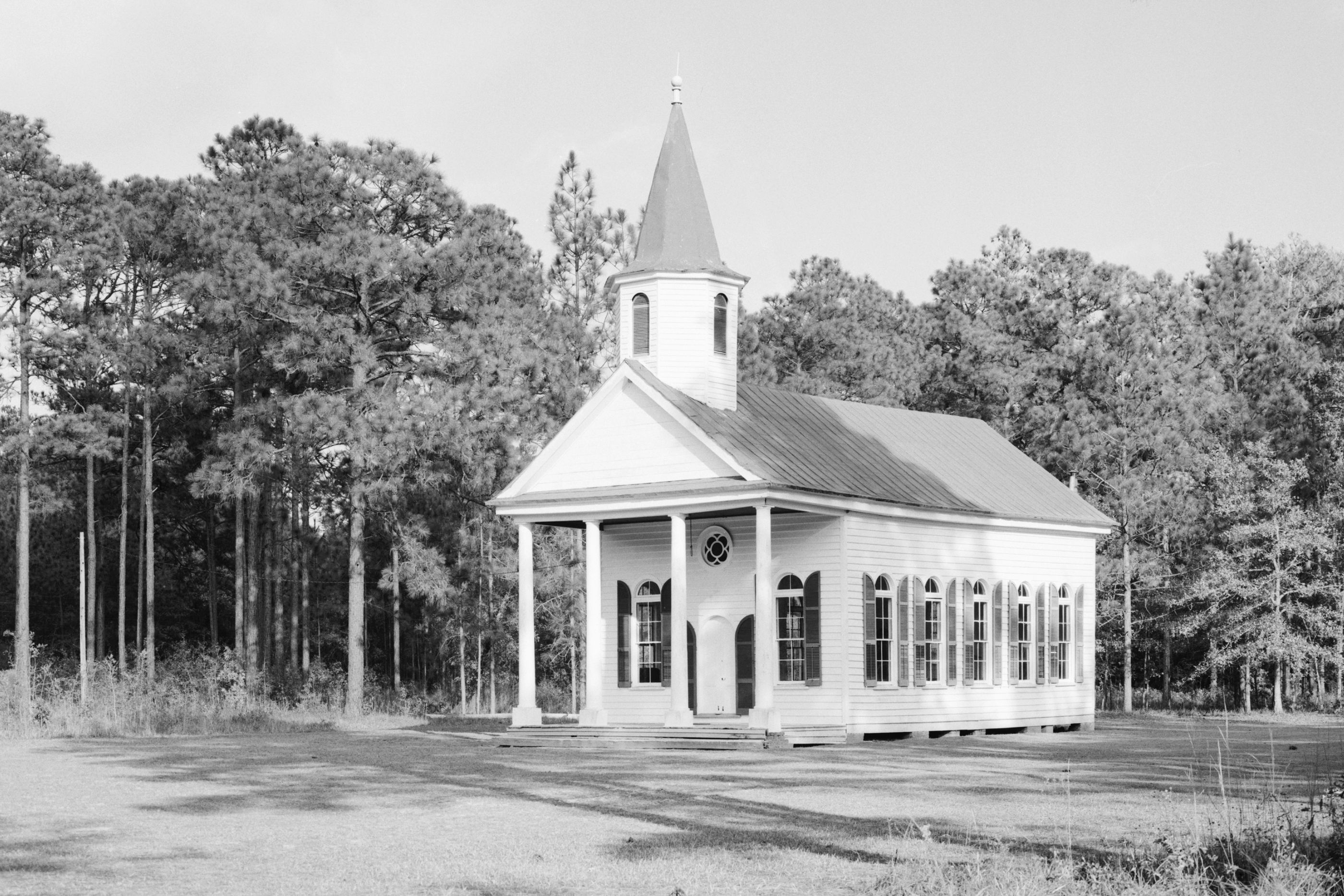
32°36′53″N 81°14′29″W / 32.614722°N 81.241389°WGarnett 12 Stoney Creek Independent Presbyterian Chapel of Prince William Parish 
May 22, 2002 McPhersonville
32°41′31″N 80°54′54″W / 32.691944°N 80.915°WMcPhersonville See also
- List of National Historic Landmarks in South Carolina
- National Register of Historic Places listings in South Carolina
References
- ^ The latitude and longitude information provided in this table was derived originally from the National Register Information System, which has been found to be fairly accurate for about 99% of listings. For about 1% of NRIS original coordinates, experience has shown that one or both coordinates are typos or otherwise extremely far off; some corrections may have been made. A more subtle problem causes many locations to be off by up to 150 yards, depending on location in the country: most NRIS coordinates were derived from tracing out latitude and longitudes off of USGS topographical quadrant maps created under North American Datum of 1927, which differs from the current, highly accurate GPS system used by Google maps. Chicago is about right, but NRIS longitudes in Washington are higher by about 4.5 seconds, and are lower by about 2.0 seconds in Maine. Latitudes differ by about 1.0 second in Florida. Some locations in this table may have been corrected to current GPS standards.
- ^ "National Register of Historic Places: Weekly List Actions". National Park Service, United States Department of the Interior. Retrieved on November 10, 2011.
- ^ Numbers represent an ordering by significant words. Various colorings, defined here, differentiate National Historic Landmark sites and National Register of Historic Places Districts from other NRHP buildings, structures, sites or objects.
- ^ "National Register Information System". National Register of Historic Places. National Park Service. . http://nrhp.focus.nps.gov/natreg/docs/All_Data.html.
U.S. National Register of Historic Places in South Carolina Lists by county Abbeville • Aiken • Allendale • Anderson • Bamberg • Barnwell • Beaufort • Berkeley • Calhoun • Charleston • Cherokee • Chester • Chesterfield • Clarendon • Colleton • Darlington • Dillon • Dorchester • Edgefield • Fairfield • Florence • Georgetown • Greenville • Greenwood • Hampton • Horry • Jasper • Kershaw • Lancaster • Laurens • Lee • Lexington • Marion • Marlboro • McCormick • Newberry • Oconee • Orangeburg • Pickens • Richland • Saluda • Spartanburg • Sumter • Union • Williamsburg • York

Lists by city Other lists Municipalities and communities of Hampton County, South Carolina Towns 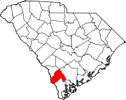
Unincorporated
communitiesLena | McPhersonville
Footnotes ‡This populated place also has portions in an adjacent county or counties
Categories:- Hampton County, South Carolina
- National Register of Historic Places in South Carolina by county
-


Wikimedia Foundation. 2010.