- National Register of Historic Places listings in Colleton County, South Carolina
-
 Location of Colleton County in South Carolina
This is a list of the National Register of Historic Places listings in Colleton County, South Carolina.
This is intended to be a complete list of the properties and districts on the National Register of Historic Places in Colleton County, South Carolina, United States. The locations of National Register properties and districts for which the latitude and longitude coordinates are included below, may be seen in a Google map.[1]
There are 9 properties and districts listed on the National Register in the county.
-
- This National Park Service list is complete through NPS recent listings posted November 10, 2011.[2]
Current listings
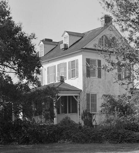
[3] Landmark name [4] Image Date listed Location City or town Summary 1 Colleton County Courthouse May 14, 1971 Corner of Hampton and Jeffries Sts.
32°54′12″N 80°39′33″W / 32.903333°N 80.659167°WWalterboro 2 Hickory Valley Historic District November 21, 1980 Roughly bounded by Ireland Creek, Jeffries Boulevard, and Wichman, Verdier, and Ivanhoe Sts.
32°54′26″N 80°39′42″W / 32.907222°N 80.661667°WWalterboro 3 Hotel Albert Commercial Block March 25, 1999 529, 539, and 545 E. Washington St.
32°54′18″N 80°39′47″W / 32.905°N 80.663056°WWalterboro 4 Old Colleton County Jail May 14, 1971 Jeffries Boulevard
32°54′25″N 80°39′20″W / 32.906944°N 80.655556°WWalterboro 5 Pon Pon Chapel January 5, 1972 Northwest of Jacksonboro on Parker's Ferry Rd.
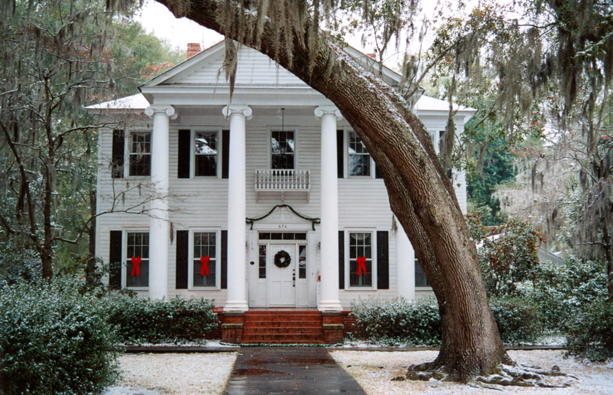
32°48′30″N 80°29′33″W / 32.808333°N 80.4925°WJacksonboro 6 Ravenwood Plantation May 1, 1997 South Carolina Highway 64, 0.9 miles east of South Carolina Highway 458
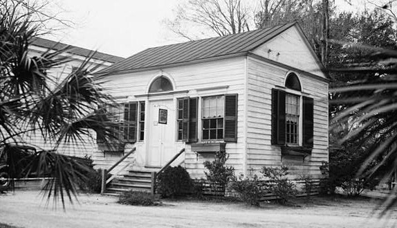
32°49′42″N 80°34′41″W / 32.828333°N 80.578056°WNeyles 7 Seaside Plantation House 
January 21, 1982 Off South Carolina Highway 174
32°31′14″N 80°17′23″W / 32.52056°N 80.28972°WEdisto Island 8 Spanish Mount Point August 30, 1974 Address Restricted Edisto Island 9 Walterboro Historic District 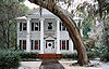
November 10, 1980 Roughly bounded by Jeffries Boulevard and Sanders, Black, Church, Valley, and Lemacks Sts.; also 807 Hampton St.
32°54′05″N 80°38′40″W / 32.901389°N 80.644444°WWalterboro 807 Hampton represents a boundary increase of June 3, 1993 10 Walterboro Library Society Building 
October 14, 1971 801 Wichman St.
32°54′12″N 80°39′08″W / 32.903333°N 80.652222°WWalterboro 11 Tom Williams House April 26, 1973 0.25 miles west of Williams on South Carolina Highway 362
33°02′16″N 80°51′14″W / 33.037778°N 80.853889°WWilliams See also
- List of National Historic Landmarks in South Carolina
- National Register of Historic Places listings in South Carolina
References
- ^ The latitude and longitude information provided in this table was derived originally from the National Register Information System, which has been found to be fairly accurate for about 99% of listings. For about 1% of NRIS original coordinates, experience has shown that one or both coordinates are typos or otherwise extremely far off; some corrections may have been made. A more subtle problem causes many locations to be off by up to 150 yards, depending on location in the country: most NRIS coordinates were derived from tracing out latitude and longitudes off of USGS topographical quadrant maps created under the North American Datum of 1927, which differs from the current, highly accurate WGS84 GPS system used by Google maps. Chicago is about right, but NRIS longitudes in Washington are higher by about 4.5 seconds, and are lower by about 2.0 seconds in Maine. Latitudes differ by about 1.0 second in Florida. Some locations in this table may have been corrected to current GPS standards.
- ^ "National Register of Historic Places: Weekly List Actions". National Park Service, United States Department of the Interior. Retrieved on November 10, 2011.
- ^ Numbers represent an ordering by significant words. Various colorings, defined here, differentiate National Historic Landmark sites and National Register of Historic Places Districts from other NRHP buildings, structures, sites or objects.
- ^ "National Register Information System". National Register of Historic Places. National Park Service. . http://nrhp.focus.nps.gov/natreg/docs/All_Data.html.
U.S. National Register of Historic Places in South Carolina Lists by county Abbeville • Aiken • Allendale • Anderson • Bamberg • Barnwell • Beaufort • Berkeley • Calhoun • Charleston • Cherokee • Chester • Chesterfield • Clarendon • Colleton • Darlington • Dillon • Dorchester • Edgefield • Fairfield • Florence • Georgetown • Greenville • Greenwood • Hampton • Horry • Jasper • Kershaw • Lancaster • Laurens • Lee • Lexington • Marion • Marlboro • McCormick • Newberry • Oconee • Orangeburg • Pickens • Richland • Saluda • Spartanburg • Sumter • Union • Williamsburg • York

Lists by city Other lists Municipalities and communities of Colleton County, South Carolina City 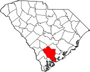
Towns Cottageville | Edisto Beach | Lodge | Smoaks | Williams
Unincorporated
communityCategories:- Colleton County, South Carolina
- National Register of Historic Places in South Carolina by county
- Buildings and structures in Colleton County, South Carolina
-


Wikimedia Foundation. 2010.