- National Register of Historic Places listings in Charleston, South Carolina
-
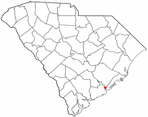
 Location of Charleston in South Carolina
This is a list of the National Register of Historic Places listings in Charleston, South Carolina.
This is intended to be a complete list of the properties and districts on the National Register of Historic Places in Charleston, South Carolina, United States. The locations of National Register properties and districts for which the latitude and longitude coordinates are included below, may be seen in a Google map.[1]
There are 184 properties and districts listed on the National Register in Charleston County, including 43 National Historic Landmarks. The city of Charleston is the location of 90 of these properties and districts, including 34 of the National Historic Landmarks; they are listed here, while the 96 properties and districts in the remaining parts of the county are listed separately. Another property in Charleston was once listed but has been removed. Three properties and districts — the Ashley River Historic District, Ashley River Road, and the Secessionville Historic District — are split between the city and the other parts of the county, and are thus included on both lists.
-
- This National Park Service list is complete through NPS recent listings posted November 10, 2011.[2]
Current listings
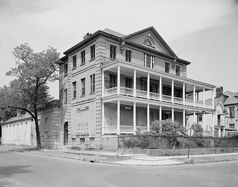
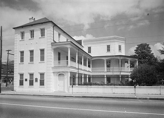
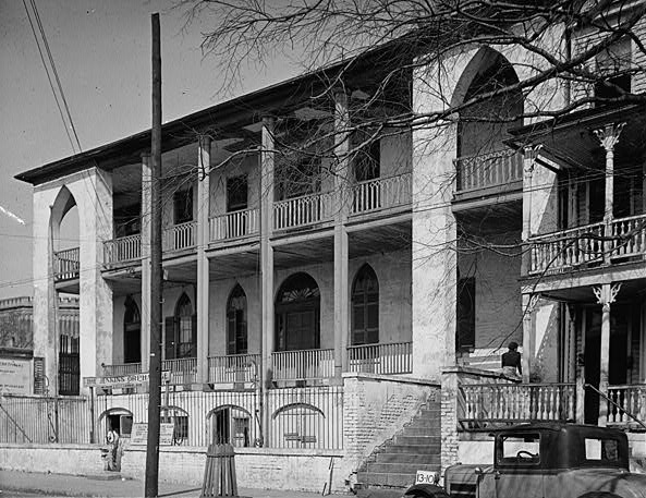
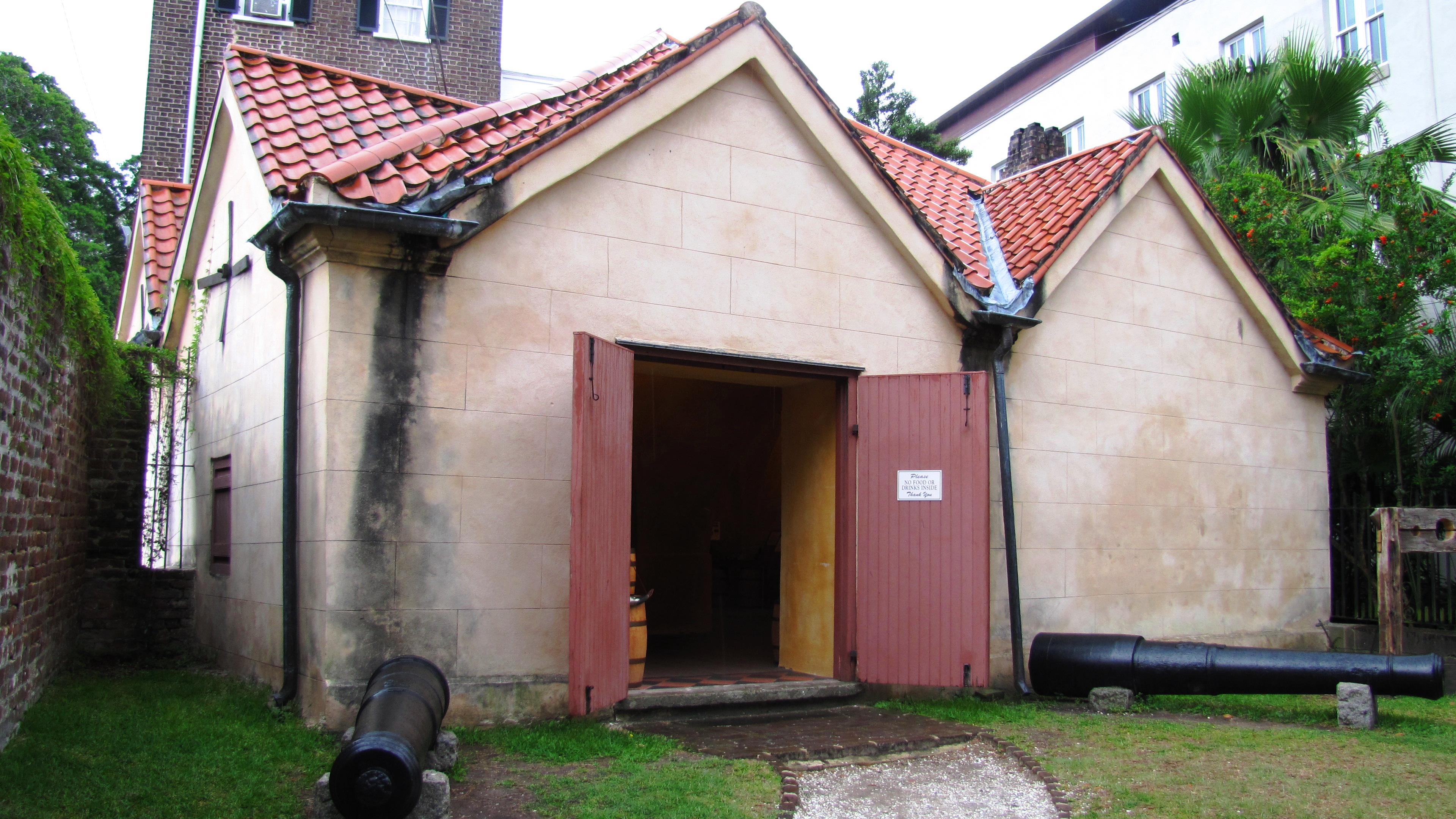
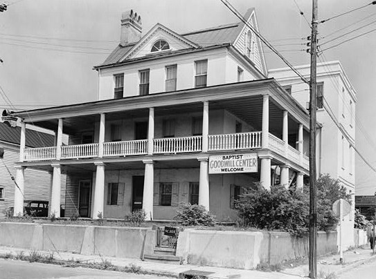
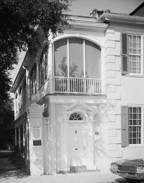
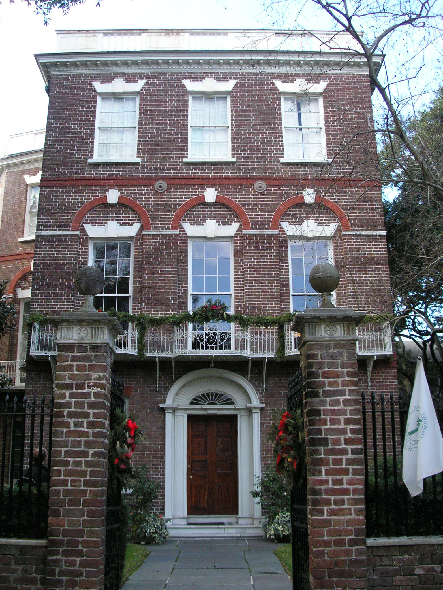
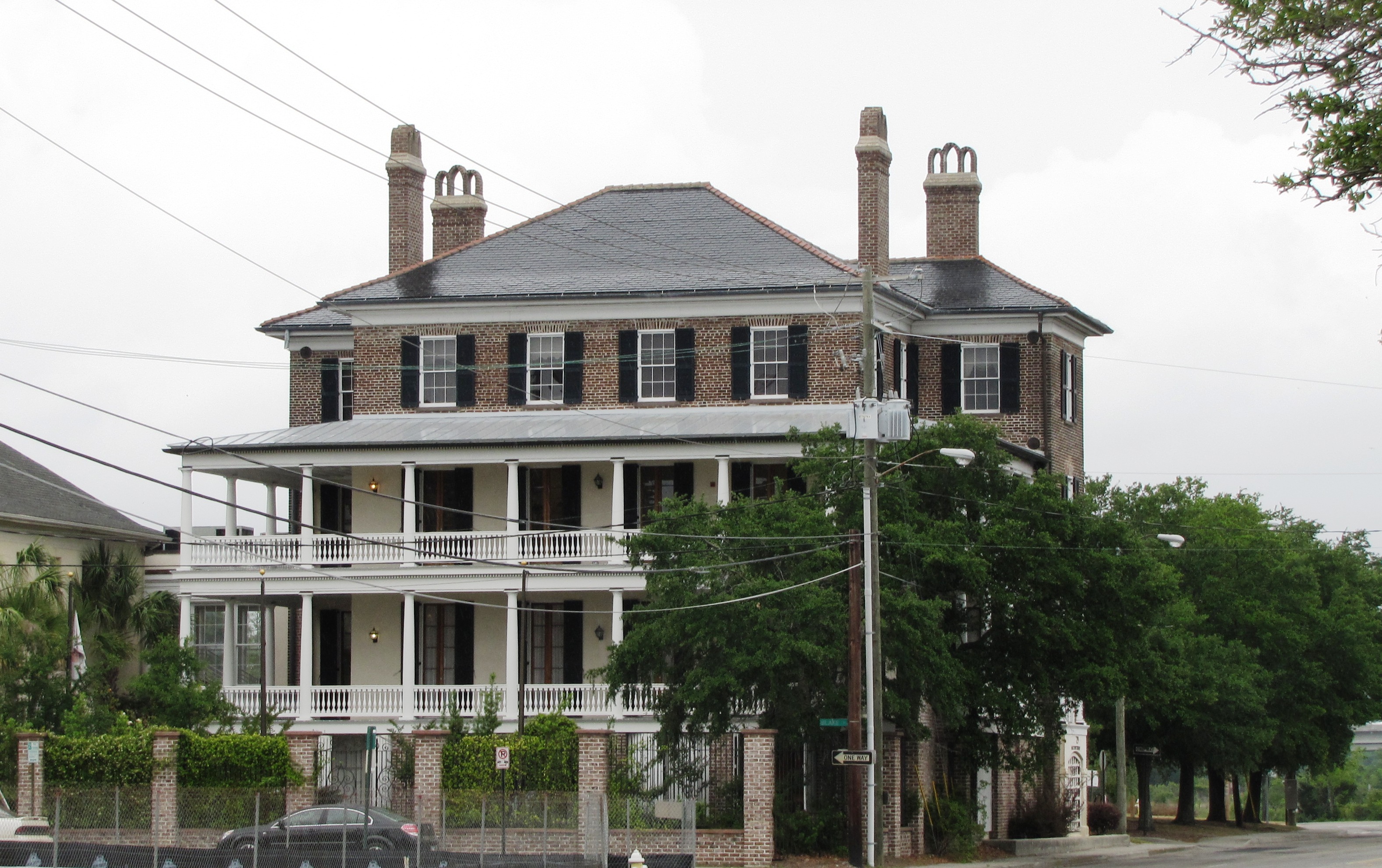
[3] Landmark name[4] Image Date listed Location Neighborhood Summary 1 Gov. William Aiken House 
November 21, 1979 48 Elizabeth St.
32°47′29″N 79°56′6″W / 32.79139°N 79.935°WPeninsula 2 William Aiken House and Associated Railroad Structures 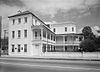
October 15, 1966 456 King St.
32°47′22″N 79°56′17″W / 32.78944°N 79.93806°WPeninsula 3 Ashley River Historic District 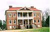
September 12, 1994 Roughly along the Ashley River from just east of South Carolina Highway 165 to the Seaboard Coast Line railroad bridge
32°53′58″N 80°7′0″W / 32.89944°N 80.116667°WWest Ashley Extends into other parts of Charleston and into Dorchester counties; boundary increase (listed October 22, 2010): Northwest of Charleston between the northeast bank of the Ashley River and the Ashley-Stono Canal and east of Delmar Highway (Highway 165) 4 Ashley River Road November 21, 1983 South Carolina Highway 61 between Church Creek and South Carolina Highway 165
32°53′43″N 80°8′8″W / 32.89528°N 80.13556°WWest Ashley Extends into other parts of Charleston and into Dorchester counties 5 Battery Cheves August 11, 1982 James Island
32°44′17″N 79°54′22″W / 32.73806°N 79.90611°WJames Island 6 Battery LeRoy August 11, 1982 Riverland Dr.
32°42′50″N 79°58′52″W / 32.71389°N 79.98111°WJames Island 7 Battery No. 1 August 11, 1982 Riverland Dr.
32°42′52″N 79°58′42″W / 32.71444°N 79.97833°WJames Island 8 Battery No. 5 August 11, 1982 Stonefield Subdivision
32°42′30″N 79°57′18″W / 32.70833°N 79.955°WJames Island 9 Battery Tynes August 11, 1982 Stono River
32°43′28″N 79°59′23″W / 32.72444°N 79.98972°WJames Island 10 Battery Wilkes October 21, 1982 St. Andrew's Parish
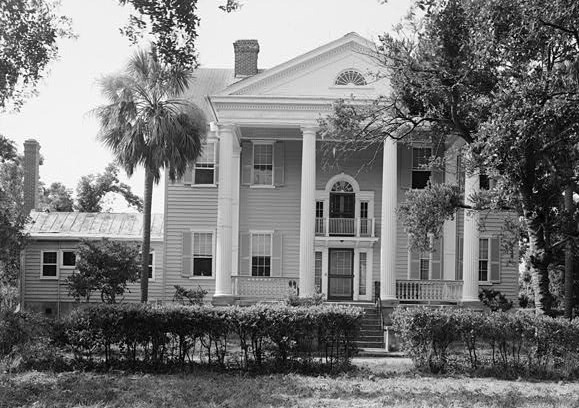
32°47′38″N 80°3′56″W / 32.79389°N 80.06556°WWest Ashley 11 Gov. Thomas Bennett House 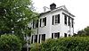
January 31, 1978 69 Barre St.
32°46′53″N 79°56′50″W / 32.78139°N 79.94722°WPeninsula 12 Bethel Methodist Church 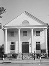
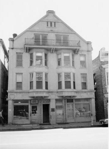
November 20, 1974 57 Pitt St.
32°47′2″N 79°56′29″W / 32.78389°N 79.94139°WPeninsula 13 William Blacklock House 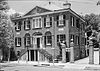
November 7, 1973 18 Bull St.
32°47′0″N 79°56′22″W / 32.783333°N 79.93944°WPeninsula 14 Blake Tenements 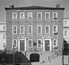
August 25, 1970 2-4 Courthouse Sq.
32°46′36″N 79°55′55″W / 32.77667°N 79.93194°WPeninsula 15 Branford-Horry House 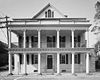
October 15, 1970 59 Meeting St.
32°46′28″N 79°55′53″W / 32.77444°N 79.93139°WPeninsula 16 Miles Brewton House 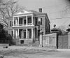
October 15, 1966 27 King St.
32°46′21″N 79°55′59″W / 32.7725°N 79.93306°WPeninsula 17 Robert Brewton House 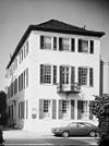
October 15, 1966 71 Church St.
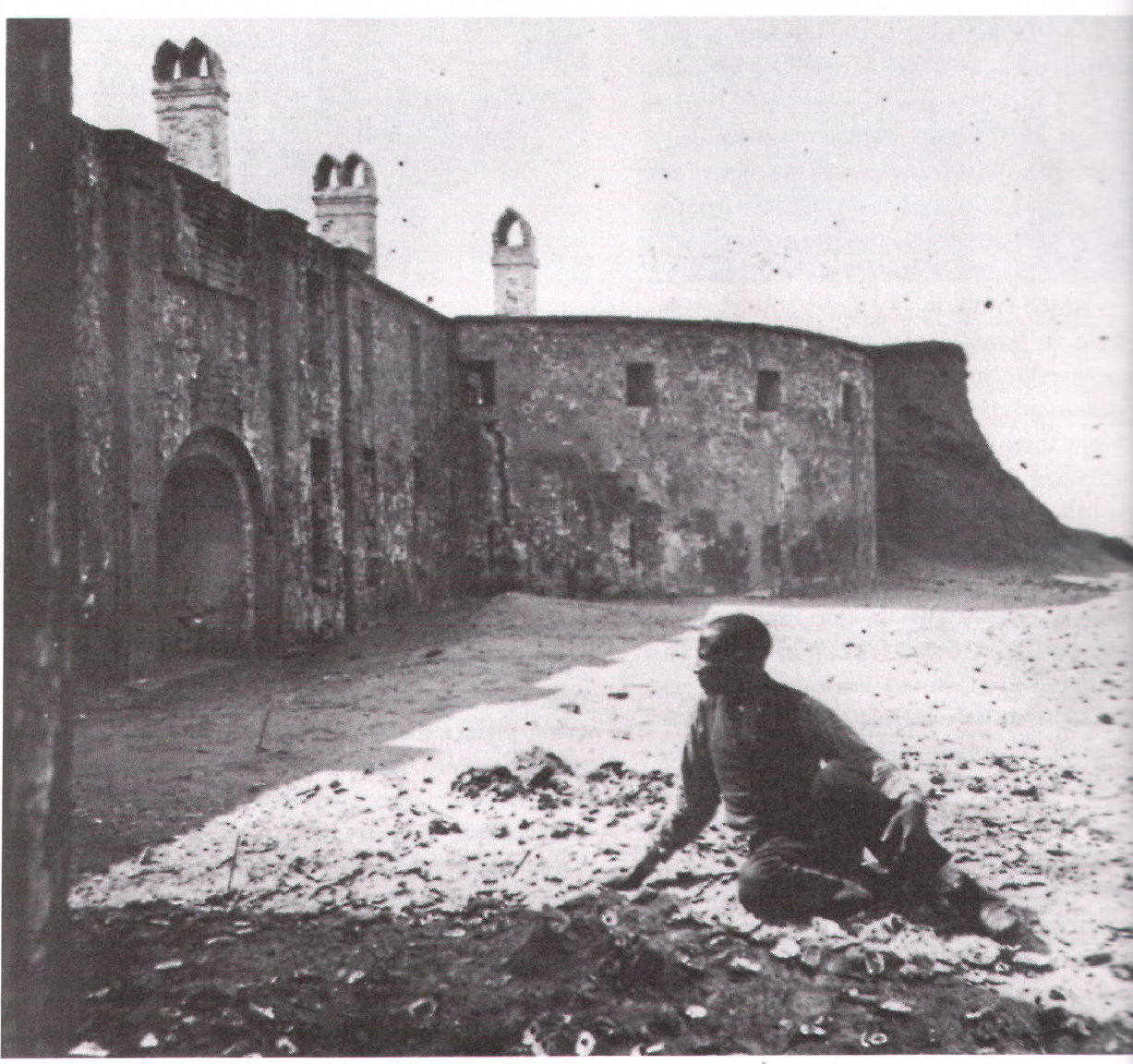
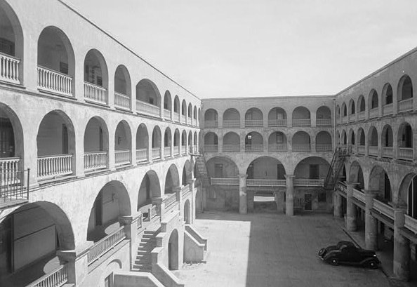
32°46′28″N 79°55′46″W / 32.77444°N 79.92944°WPeninsula 18 Castle Pinckney 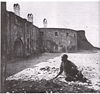
July 16, 1970 Shute's Folly Island
32°46′25″N 79°54′41″W / 32.77361°N 79.91139°WShute's Folly Island 19 Central Baptist Church 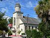
August 16, 1977 26 Radcliffe St.
32°47′18″N 79°56′28″W / 32.78833°N 79.94111°WPeninsula 20 Charleston Historic District 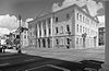
October 15, 1966 An area roughly bounded by Broad, Bay, S. Battery, and Ashley, and an area along Church bounded by Cumberland and Chalmers; also an area roughly bounded by Calhoun, Archdale, Cumberland, E. Battery, Broad, and Gadsden, and an area along Anson St.; also incorporating most of the area south of Bee, Morris, and Mary Sts. to the waterfront; also King and Calhoun Sts.; also 25 and 25½ Warren and 114 St. Phillip Sts.; also 280 E. Bay St.
32°46′47″N 79°56′5″W / 32.77972°N 79.93472°WPeninsula Semicolons separate the original boundaries and boundary increases of January 30, 1970, July 16, 1978, August 2, 1984, August 13, 1985, and March 27, 1986. The increase of 1978 is denominated "Charleston Historic District", and the increases of 1985 and 1986 are denominated "Charleston Old and Historic District". 21 Charleston's French Quarter District 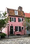
September 19, 1973 Bounded by Lodge Alley and Cumberland, E. Bay, and State Sts.
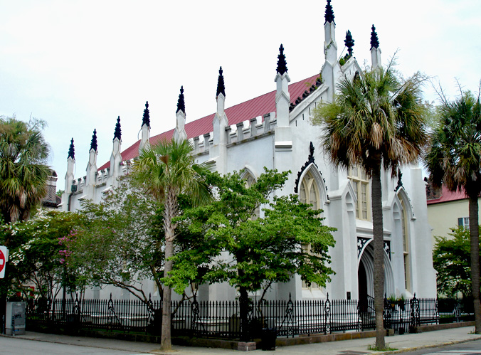
32°46′45″N 79°55′41″W / 32.77917°N 79.92806°WPeninsula 22 Cigar Factory 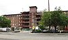
November 25, 1980 Block bounded by East Bay, Columbus, Blake, and Drake Sts.
32°47′52″N 79°56′5″W / 32.79778°N 79.93472°WPeninsula 23 Circular Congregational Church and Parish House 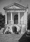
November 7, 1973 150 Meeting St.
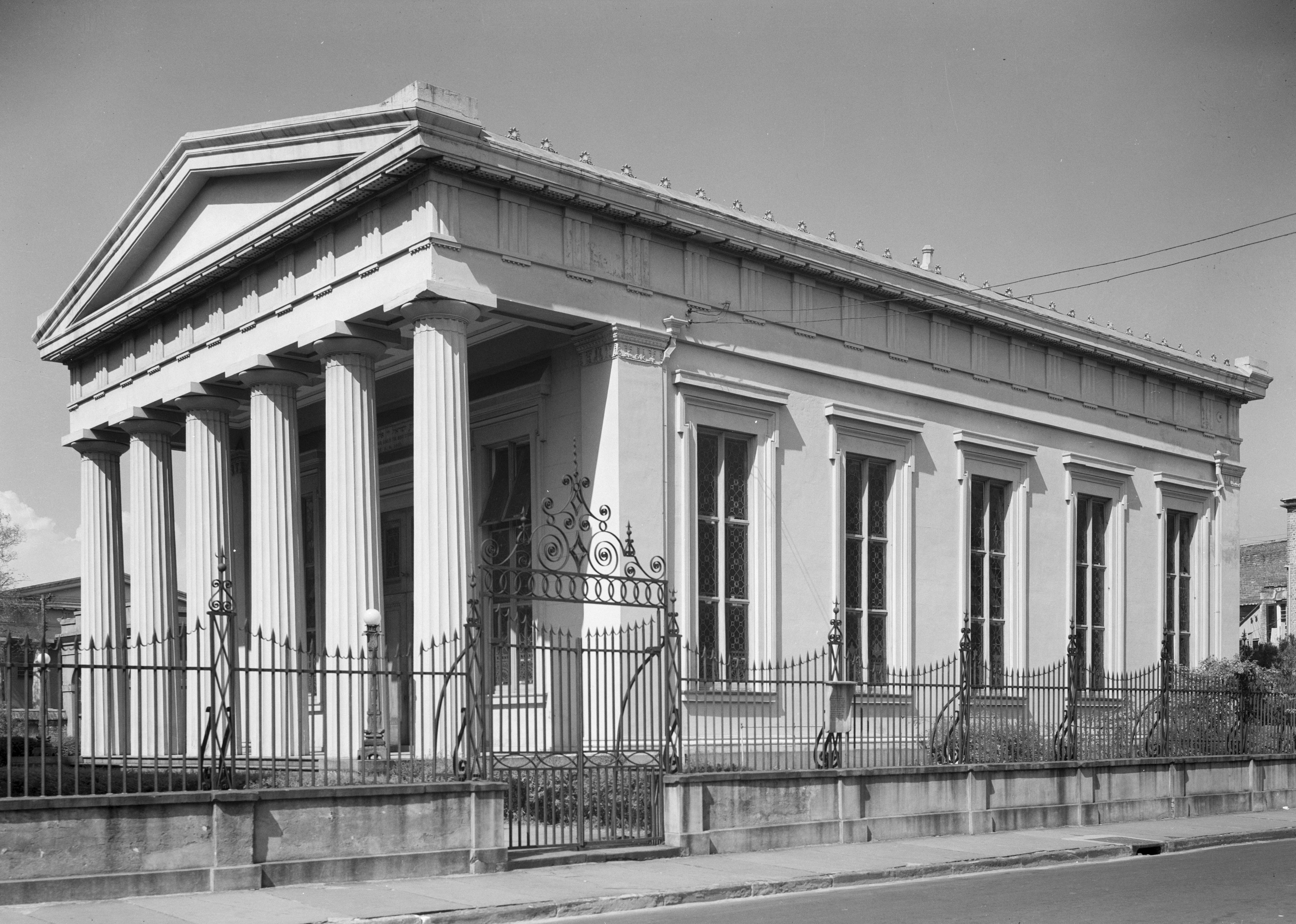
32°46′44″N 79°55′52″W / 32.77889°N 79.93111°WPeninsula 24 Citizens and Southern National Bank of South Carolina 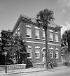
May 6, 1971 50 Broad St.
32°46′36″N 79°55′48″W / 32.77667°N 79.93°WPeninsula 25 College of Charleston 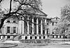
November 11, 1971 Glebe, George, St. Philip, and Green Sts.
32°47′4″N 79°56′15″W / 32.78444°N 79.9375°WPeninsula 26 Coming Street Cemetery 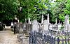
November 5, 1996 189 Coming St.
32°47′23″N 79°56′34″W / 32.78972°N 79.94278°WPeninsula 27 Dock Street Theatre 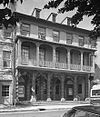
June 19, 1973 135 Church St.
32°46′40″N 79°55′48″W / 32.77778°N 79.93°WPeninsula 28 Drayton Hall October 15, 1966 12 miles west of Charleston on South Carolina Highway 61
32°52′16″N 80°4′34″W / 32.87111°N 80.07611°WWest Ashley 29 William Enston Home 
April 25, 1996 900 King St.
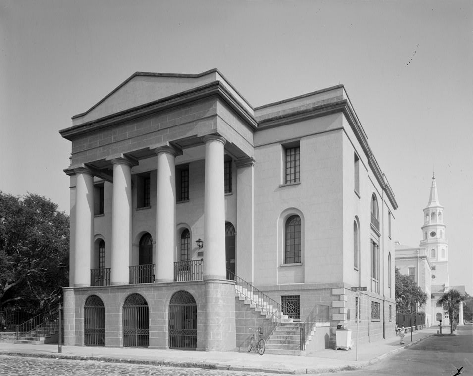
32°48′6″N 79°56′55″W / 32.80167°N 79.94861°WPeninsula 30 Exchange and Provost 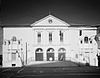
December 17, 1969 E. Bay and Broad Sts.
32°46′31″N 79°55′38″W / 32.77528°N 79.92722°WPeninsula 31 Farmers' and Exchange Bank 
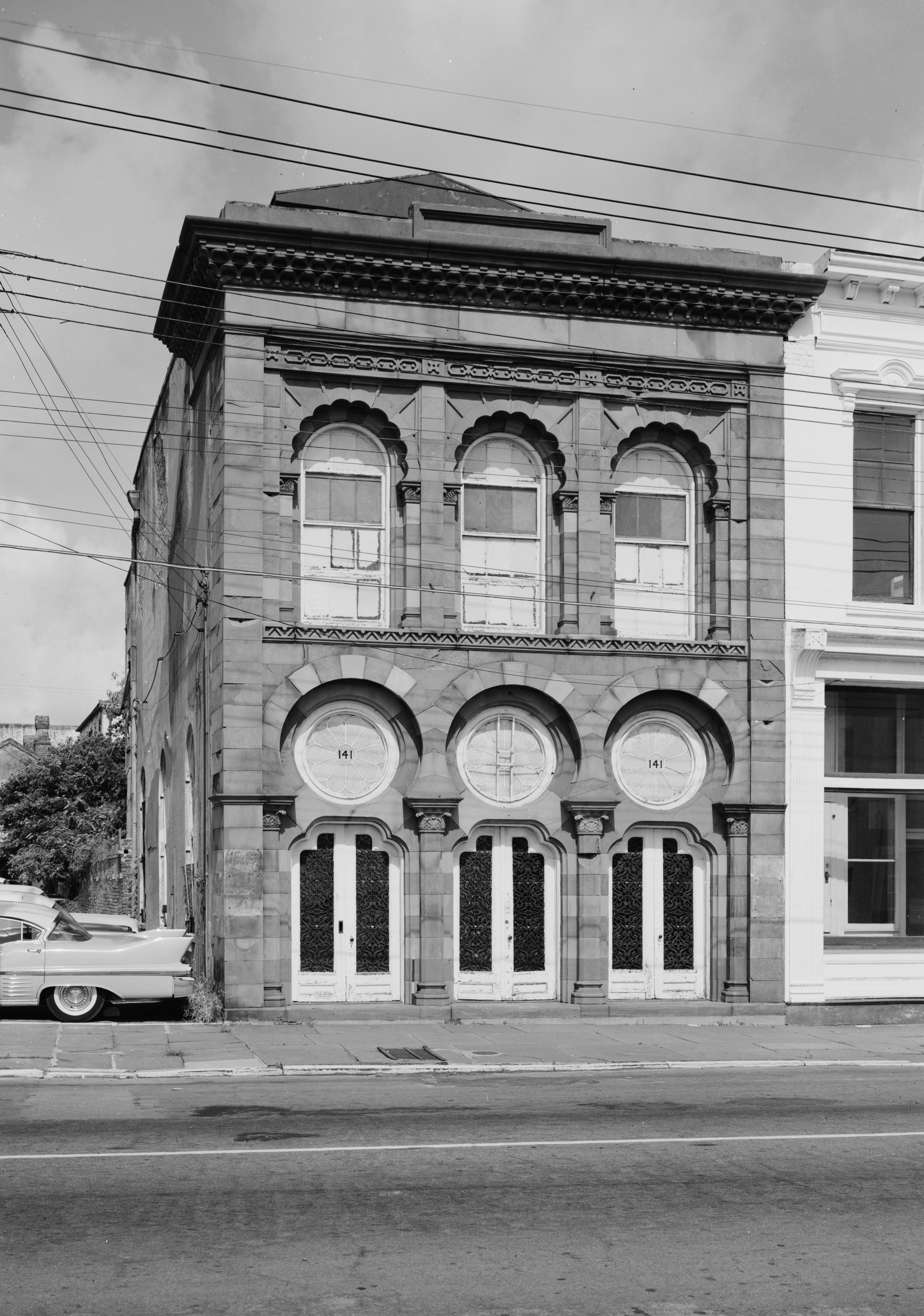
November 7, 1973 141 E. Bay St.
32°46′39″N 79°55′38″W / 32.7775°N 79.92722°WPeninsula 32 Farmfield Plantation House October 29, 1982 Farmfield Rd.
32°46′30″N 79°59′36″W / 32.775°N 79.99333°WWest Ashley 33 Fenwick Hall 
February 23, 1972 South of Charleston on Johns Island, U.S. Route 17
32°45′2″N 80°2′20″W / 32.75056°N 80.03889°WJohns Island 34 Fireproof Building 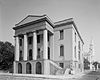
July 29, 1969 100 Meeting St.
32°46′36″N 79°55′55″W / 32.77667°N 79.93194°WPeninsula 35 Florence Crittenton Home 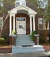
September 25, 1997 19 St. Margaret St.
32°48′12″N 79°57′18″W / 32.80333°N 79.955°WPeninsula 36 Fort Pringle August 11, 1982 Riverland Dr.
32°42′50″N 79°59′7″W / 32.71389°N 79.98528°WJames Island 37 Fort Sumter National Monument 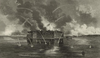
January 15, 1966 Charleston Harbor
32°45′8″N 79°52′29″W / 32.75222°N 79.87472°WHarbor 38 Fort Trenholm August 11, 1982 Johns Island Airport
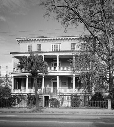
32°42′29″N 79°59′49″W / 32.70806°N 79.99694°WJohns Island 39 William Gibbes House 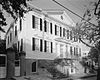
April 15, 1970 64 S. Battery
32°46′14″N 79°55′59″W / 32.77056°N 79.93306°WPeninsula 40 Greek Orthodox Church of the Holy Trinity 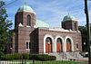
October 22, 2004 30 Race St.
32°47′52″N 79°56′55″W / 32.79778°N 79.94861°WPeninsula 41 Hampton Park Terrace Historic District 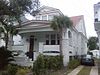
September 26, 1997 Roughly bounded by Hagood and Rutledge Aves., and Moltrie and Congress Sts.
32°47′48″N 79°57′19″W / 32.79667°N 79.95528°WPeninsula 42 Dubose Heyward House 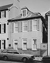
November 11, 1971 76 Church St.
32°46′26″N 79°55′44″W / 32.77389°N 79.92889°WPeninsula 43 Heyward-Washington House 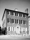
April 15, 1970 87 Church St.
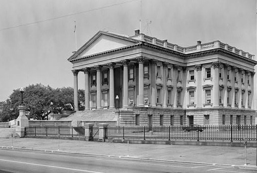
32°46′33″N 79°55′46″W / 32.77583°N 79.92944°WPeninsula 44 Hibernian Hall 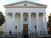
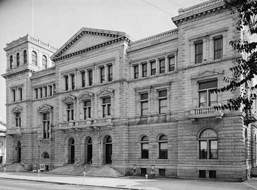
November 7, 1973 105 Meeting St.
32°46′38″N 79°55′54″W / 32.77722°N 79.93167°WPeninsula 45 Huguenot Church 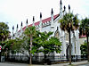
November 7, 1973 136 Church St.
32°46′50″N 79°55′45″W / 32.78056°N 79.92917°WPeninsula 46 Kahal Kadosh Beth Elohim Synagogue 
April 4, 1978 90 Hasell St.
32°46′56″N 79°55′58″W / 32.78222°N 79.93278°WPeninsula 47 Lowndes Grove 
August 30, 1978 260 St. Margaret St.
32°48′6″N 79°57′58″W / 32.80167°N 79.96611°WPeninsula 48 Jonathan Lucas House 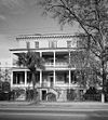
February 23, 1978 286 Calhoun St.
32°46′57″N 79°56′54″W / 32.7825°N 79.94833°WPeninsula 49 Magnolia Cemetery 
March 24, 1978 North of Charleston off U.S. Route 52
32°49′6″N 79°56′32″W / 32.81833°N 79.94222°WPeninsula 50 Joseph Manigault House 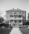
November 7, 1973 350 Meeting St.
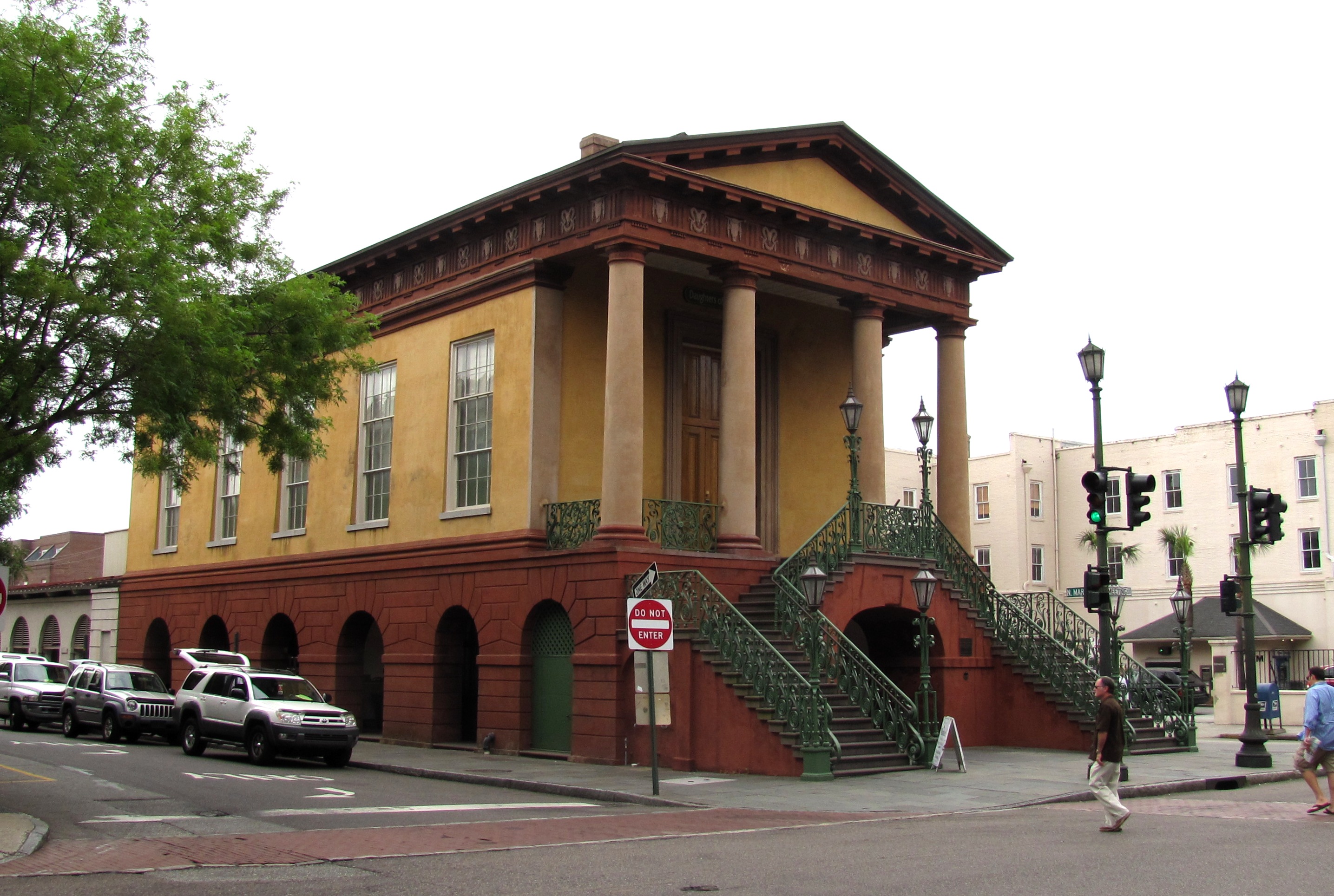
32°47′19″N 79°56′8″W / 32.78861°N 79.93556°WPeninsula 51 Market Hall and Sheds 
June 4, 1973 188 Meeting St.
32°46′49″N 79°55′53″W / 32.78028°N 79.93139°WPeninsula Also known as the Old City Market; market stalls are located on the first story of Market Hall, and continue in a series of sheds stretching behind Market Hall all the way to E. Bay St. 52 McCrady's Tavern and Long Room 
September 14, 1972 153 E. Bay St.
32°46′41″N 79°55′38″W / 32.77806°N 79.92722°WPeninsula 53 McLeod Plantation 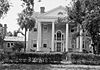
August 13, 1974 325 Country Club Dr.
32°45′46″N 79°58′21″W / 32.76278°N 79.9725°WJames Island 54 Clark Mills Studio 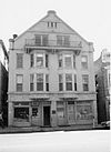
October 15, 1966 51 Broad St.
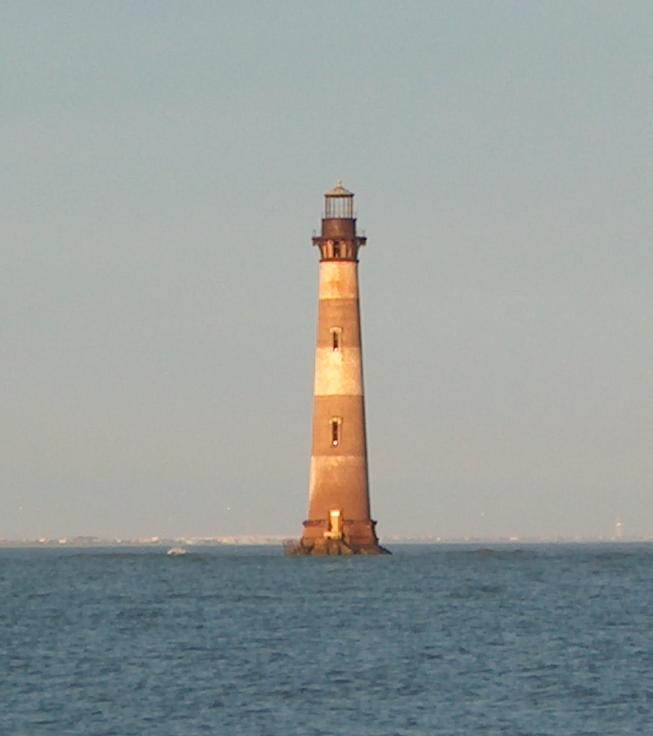
32°46′34″N 79°55′48″W / 32.77611°N 79.93°WPeninsula A studio of the self-taught sculptor Clark Mills on Broad Street. 55 Morris Island Lighthouse 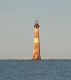
June 28, 1982 6 miles southeast of Charleston
32°41′43″N 79°53′2″W / 32.69528°N 79.88389°WMorris Island 56 Andrew B. Murray Vocational School 
May 30, 2002 3 Chisolm St.
32°46′26″N 79°56′33″W / 32.77389°N 79.9425°WPeninsula 57 James Nicholson House 
August 30, 1974 172 Rutledge Ave.
32°47′12″N 79°56′44″W / 32.78667°N 79.94556°WPeninsula 58 Old Bethel United Methodist Church April 21, 1975 222 Calhoun St.
32°47′3″N 79°56′33″W / 32.78417°N 79.9425°WPeninsula 59 Old Marine Hospital 
November 7, 1973 20 Franklin St.
32°46′40″N 79°56′14″W / 32.77778°N 79.93722°WPeninsula 60 Old Slave Mart 
May 2, 1975 6 Chalmers St.
32°46′38″N 79°55′48″W / 32.77722°N 79.93°WPeninsula 61 Porter Military Academy 
June 21, 1996 175-181 Ashley Ave.
32°47′12″N 79°56′52″W / 32.78667°N 79.94778°WPeninsula 62 Powder Magazine 
January 5, 1972 79 Cumberland St.
32°46′45″N 79°55′51″W / 32.77917°N 79.93083°WPeninsula 63 Presqui'ile 
December 8, 1978 2 Amherst St.
32°47′43″N 79°56′0″W / 32.79528°N 79.933333°WPeninsula 64 Robert Barnwell Rhett House 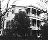
November 7, 1973 6 Thomas St.
32°47′10″N 79°56′33″W / 32.78611°N 79.9425°WPeninsula 65 William Robb House 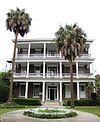
September 8, 1983 12 Bee St.
32°47′14″N 79°56′50″W / 32.78722°N 79.94722°WPeninsula 66 Robert William Roper House 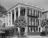
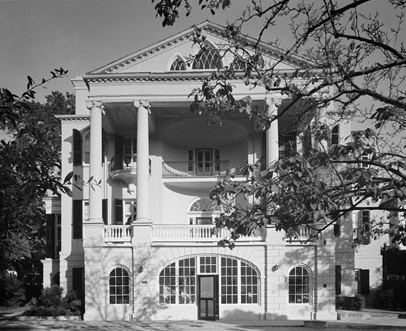
November 7, 1973 9 E. Battery St.
32°46′15″N 79°55′43″W / 32.77083°N 79.92861°WPeninsula 67 Thomas Rose House 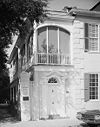
October 15, 1970 57-59 Church St.
32°46′24″N 79°55′46″W / 32.77333°N 79.92944°WPeninsula 68 Nathaniel Russell House 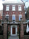
August 19, 1971 51 Meeting St.
32°46′26″N 79°55′53″W / 32.77389°N 79.93139°WPeninsula 69 Edward Rutledge House 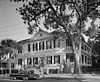
November 11, 1971 117 Broad St.
32°46′34″N 79°56′2″W / 32.77611°N 79.93389°WPeninsula 70 Gov. John Rutledge House 
November 7, 1971 116 Broad St.
32°46′34″N 79°56′1″W / 32.77611°N 79.93361°WPeninsula 71 St. Andrews Episcopal Church 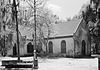
October 15, 1973 5 miles northwest of Charleston on South Carolina Highway 61
32°50′19″N 80°2′57″W / 32.83861°N 80.04917°WWest Ashley 72 St. Mary's Roman Catholic Church 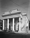
November 7, 1976 93 Hasell St.
32°46′54″N 79°55′58″W / 32.78167°N 79.93278°WPeninsula 73 St. Michael's Episcopal Church 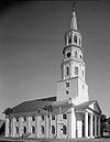
October 15, 1966 80 Meeting St.
32°46′34″N 79°55′51″W / 32.77611°N 79.93083°WPeninsula 74 St. Philip's Episcopal Church 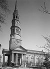
November 7, 1973 146 Church St.
32°46′45″N 79°55′45″W / 32.77917°N 79.92917°WPeninsula 75 Secessionville Historic District 
October 1, 1979 North of Folly Beach
32°42′18″N 79°56′35″W / 32.705°N 79.94306°WJames Island Extends into Folly Beach, elsewhere in Charleston County 76 Simmons-Edwards House 
January 25, 1971 12-14 Legare St.
32°46′21″N 79°56′3″W / 32.7725°N 79.93417°WPeninsula 77 Site of Old Charles Towne 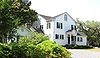
December 17, 1969 Albemarle Point
32°48′27″N 79°59′13″W / 32.8075°N 79.98694°WWest Ashley Now part of a state historic site 78 South Carolina National Bank of Charleston 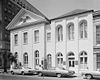
June 4, 1973 16 Broad St.
32°46′37″N 79°55′39″W / 32.77694°N 79.9275°WPeninsula 79 South Carolina State Arsenal 
July 16, 1970 2 Tobacco St. (Marion Sq.)
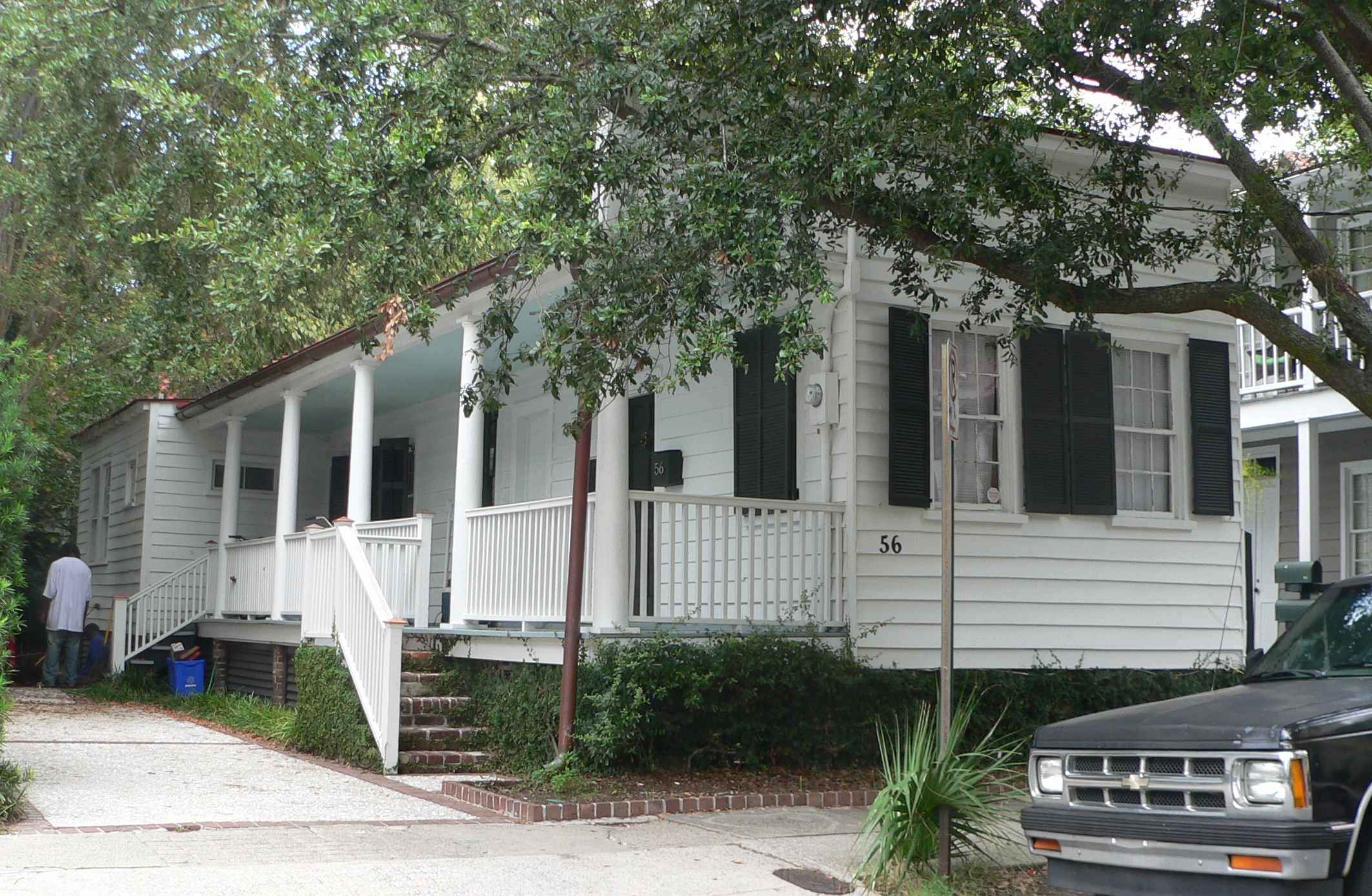
32°47′14″N 79°56′11″W / 32.78722°N 79.93639°WPeninsula 80 James Sparrow House 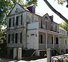
January 30, 1998 65 Cannon St.
32°47′20″N 79°56′42″W / 32.78889°N 79.945°WPeninsula 81 Stiles-Hinson House October 9, 1974 940 Paul Revere Dr.
32°45′6″N 79°55′45″W / 32.75167°N 79.92917°WJames Island 82 Col. John Stuart House 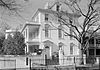
October 22, 1970 104-106 Tradd St.
32°46′27″N 79°56′1″W / 32.77417°N 79.93361°WPeninsula 83 Sword Gate Houses 
December 18, 1970 32 Legare St. and 111 Tradd St.
32°46′25″N 79°56′3″W / 32.77361°N 79.93417°WPeninsula 84 Josiah Smith Tennent House 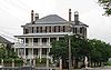
November 27, 1979 729 E. Bay St.
32°47′55″N 79°56′6″W / 32.79861°N 79.935°WPeninsula 85 U.S. Customhouse 
October 9, 1974 200 E. Bay St.
32°46′50″N 79°55′37″W / 32.78056°N 79.92694°WPeninsula 86 U.S. Post Office and Courthouse 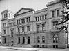
August 13, 1974 83 Broad St.
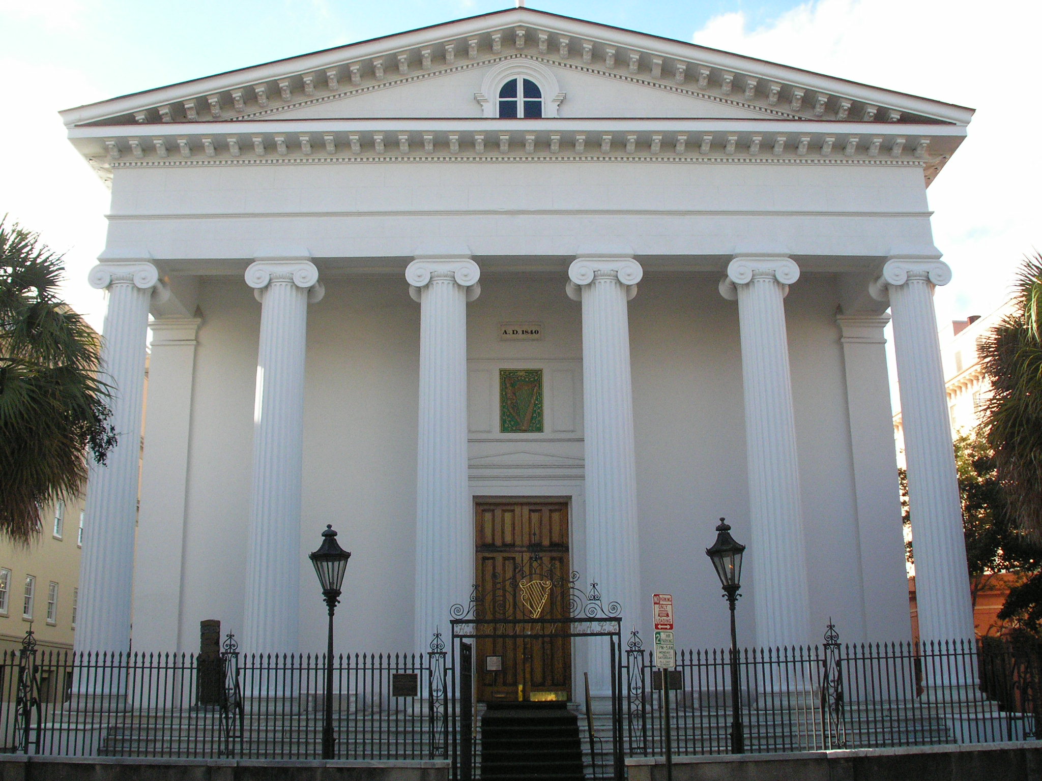
32°46′33″N 79°55′54″W / 32.77583°N 79.93167°WPeninsula 87 Unitarian Church 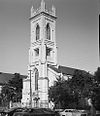
November 7, 1973 6 Archdale St.
32°46′20″N 79°56′2″W / 32.77222°N 79.93389°WPeninsula 88 Unnamed Battery August 11, 1982 St. Andrew
32°48′7″N 80°3′14″W / 32.80194°N 80.05389°WWest Ashley 89 Denmark Vesey House 
May 11, 1976 56 Bull St.
32°46′56″N 79°56′28″W / 32.78222°N 79.94111°WPeninsula 90 West Point Rice Mill 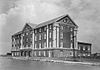
January 20, 1995 Junction of Lockwood Dr. and Calhoun St.
32°46′44″N 79°57′4″W / 32.77889°N 79.95111°WPeninsula Former listing
Landmark name Image Dates Location Neighborhood Summary 1 Shaw Community Center October 1, 1974 (delisted) 22 Mary St. Peninsula Demolished to make way for new Boys & Girls Club building See also
- List of National Historic Landmarks in South Carolina
- National Register of Historic Places listings in South Carolina
References
- ^ The latitude and longitude information provided in this table was derived originally from the National Register Information System, which has been found to be fairly accurate for about 99% of listings. For about 1% of NRIS original coordinates, experience has shown that one or both coordinates are typos or otherwise extremely far off; some corrections may have been made. A more subtle problem causes many locations to be off by up to 150 yards, depending on location in the country: most NRIS coordinates were derived from tracing out latitude and longitudes off of USGS topographical quadrant maps created under North American Datum of 1927, which differs from the current, highly accurate GPS system used by Google maps. Chicago is about right, but NRIS longitudes in Washington are higher by about 4.5 seconds, and are lower by about 2.0 seconds in Maine. Latitudes differ by about 1.0 second in Florida. Some locations in this table may have been corrected to current GPS standards.
- ^ "National Register of Historic Places: Weekly List Actions". National Park Service, United States Department of the Interior. Retrieved on November 10, 2011.
- ^ Numbers represent an ordering by significant words. Various colorings, defined here, differentiate National Historic Landmark sites and National Register of Historic Places Districts from other NRHP buildings, structures, sites or objects.
- ^ "National Register Information System". National Register of Historic Places. National Park Service. 2009-03-13. http://nrhp.focus.nps.gov/natreg/docs/All_Data.html.
U.S. National Register of Historic Places in South Carolina Lists by county Abbeville • Aiken • Allendale • Anderson • Bamberg • Barnwell • Beaufort • Berkeley • Calhoun • Charleston • Cherokee • Chester • Chesterfield • Clarendon • Colleton • Darlington • Dillon • Dorchester • Edgefield • Fairfield • Florence • Georgetown • Greenville • Greenwood • Hampton • Horry • Jasper • Kershaw • Lancaster • Laurens • Lee • Lexington • Marion • Marlboro • McCormick • Newberry • Oconee • Orangeburg • Pickens • Richland • Saluda • Spartanburg • Sumter • Union • Williamsburg • York

Lists by city Other lists Keeper of the Register • History of the National Register of Historic Places • Property types • Historic district • Contributing property City of Charleston Mayor 
Districts Sports Teams Newspapers The Post and Courier · Charleston City Paper · The Charleston Regional Business Journal · The Catholic MiscellanyTelevision Stations Squares Transport WikiProject South Carolina Categories:- National Register of Historic Places in Charleston, South Carolina
-


Wikimedia Foundation. 2010.