- National Register of Historic Places listings in North Charleston, South Carolina
-
Current listings
[1] Landmark name [2] Image Date listed Location City or town Summary 1 Ashley River Historic District 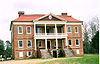
September 12, 1994 Roughly along the Ashley River from just east of South Carolina Highway 165 , near Watson Hill (North Charleston), to the Seaboard Coast Line Railroad bridge
32°53′58″N 80°7′0″W / 32.89944°N 80.116667°WCharleston , North Charleston Extends into Charleston and Dorchester County 2 Charleston Naval Hospital Historic District 
None Portions of Avenue A, Avenue B, Avenue D, 2nd Street, 4th Street, Hayter Street, North Hobson Street, McMillan Avenue, Machinists Street, Pierside Street, Pipefitters Street, Roe Avenue, Shipfitters Way, and Truxtun Avenue
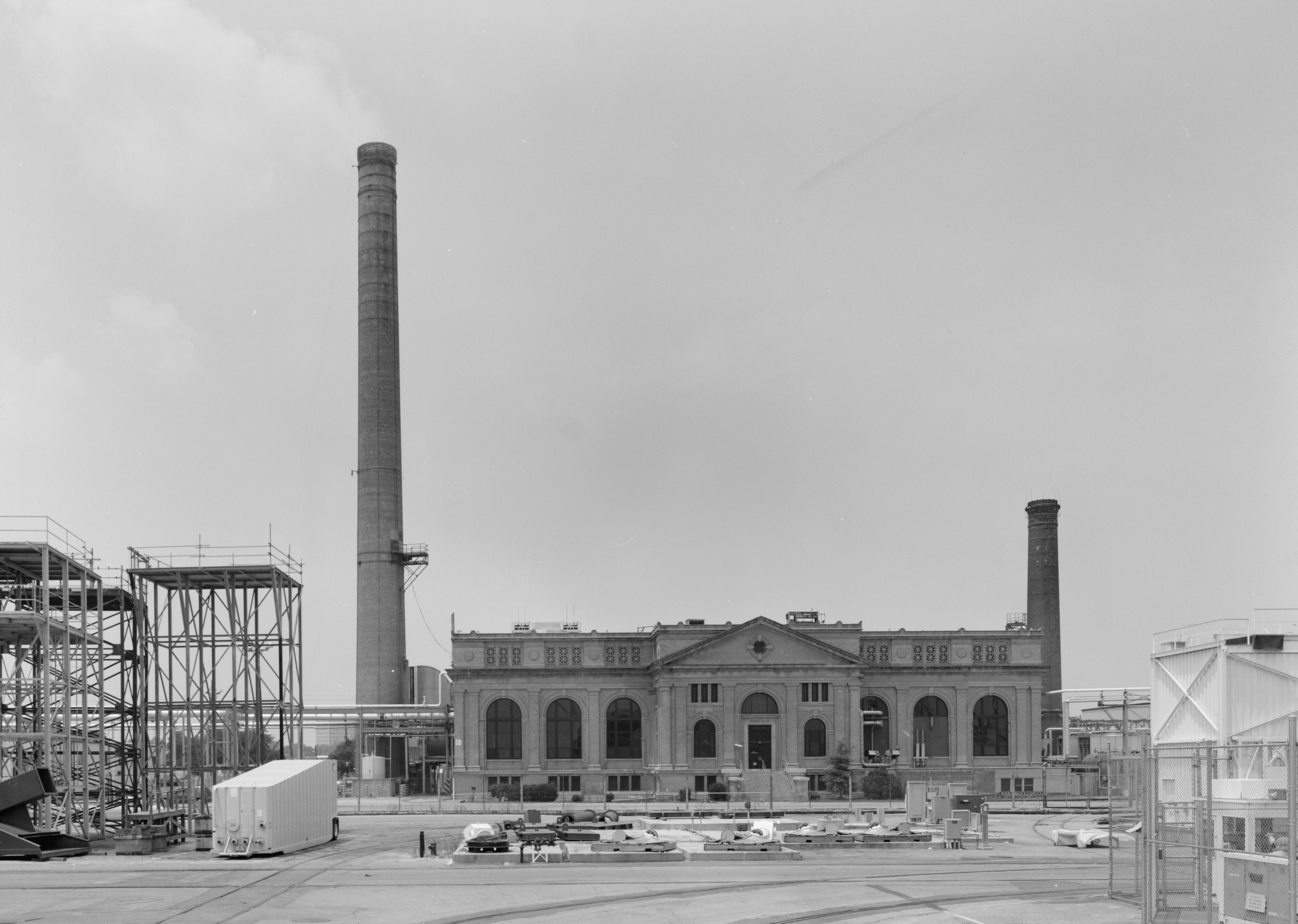
32°51′51″N 79°58′2″W / 32.86417°N 79.96722°W[3]North Charleston 3 Charleston Navy Yard Historic District 
August 9, 2006 Roughly bounded by 1st St., Hobson Ave., Ave. D, 4th and 5th Sts., and the drydocks between 1st and 13th Sts.
32°51′43″N 79°57′46″W / 32.86194°N 79.96278°WNorth Charleston 4 Charleston Navy Yard Officers' Quarters Historic District March 2, 2007 Turnbull Ave., Everglades Dr., Navy Way, and portions of Hobson Ave. and Blackstop Dr.
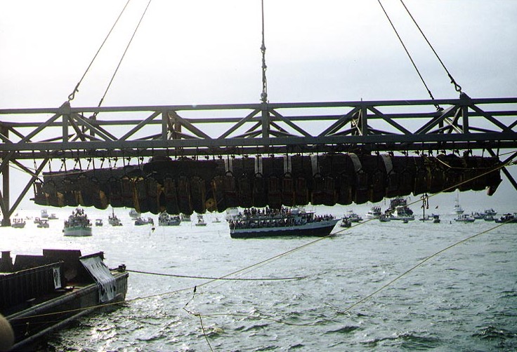
32°52′8″N 79°58′9″W / 32.86889°N 79.96917°WNorth Charleston 5 H.L. HUNLEY (submarine) 
December 29, 1978 Located on the old Naval base in North Charleston
32°44′0″N 79°46′0″W / 32.733333°N 79.766667°WNorth Charleston 6 Magnolia Plantation and Gardens 
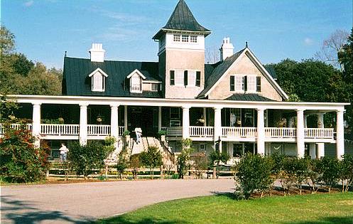
December 11, 1972 Directly across the Ashley River from North Charleston and 10 miles northwest of Charleston on South Carolina Highway 61
32°52′29″N 80°5′21″W / 32.87472°N 80.08917°WCharleston , North Charleston 7 Marshlands Plantation House 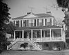
March 30, 1973 Northern side of Fort Sumter Dr.
32°45′1″N 79°54′3″W / 32.75028°N 79.90083°WJames Island The house was moved from its original location at the old Naval Base in North Charleston for preservation. See also
- List of National Historic Landmarks in South Carolina
- National Register of Historic Places listings in South Carolina
References
- ^ Numbers represent an ordering by significant words. Various colorings, defined here, differentiate National Historic Landmark sites and National Register of Historic Places Districts from other NRHP buildings, structures, sites or objects.
- ^ "National Register Information System". National Register of Historic Places. National Park Service. . http://nrhp.focus.nps.gov/natreg/docs/All_Data.html.
- ^ "Charleston Charleston Naval Hospital Historic District National Register of Historic Places Registration Form". South Carolina Department of Archives and History. February 14, 2006. http://www.nationalregister.sc.gov/charleston/S10817710175/S10817710175.pdf. Retrieved October 31, 2010.
U.S. National Register of Historic Places in South Carolina Lists by county Abbeville • Aiken • Allendale • Anderson • Bamberg • Barnwell • Beaufort • Berkeley • Calhoun • Charleston • Cherokee • Chester • Chesterfield • Clarendon • Colleton • Darlington • Dillon • Dorchester • Edgefield • Fairfield • Florence • Georgetown • Greenville • Greenwood • Hampton • Horry • Jasper • Kershaw • Lancaster • Laurens • Lee • Lexington • Marion • Marlboro • McCormick • Newberry • Oconee • Orangeburg • Pickens • Richland • Saluda • Spartanburg • Sumter • Union • Williamsburg • York

Lists by city Other lists Keeper of the Register • History of the National Register of Historic Places • Property types • Historic district • Contributing property Municipalities and communities of Charleston County, South Carolina County seat: Charleston Cities 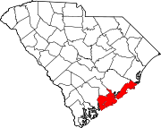
Towns Awendaw | Hollywood | James Island | Kiawah Island | Lincolnville‡ | McClellanville | Meggett | Mount Pleasant | Ravenel | Rockville | Seabrook Island | Sullivan's Island | Summerville‡
CDP Unincorporated
communityFootnotes ‡This populated place also has portions in an adjacent county or counties
Categories:- Charleston County, South Carolina
- National Register of Historic Places in South Carolina by county
- North Charleston, South Carolina


Wikimedia Foundation. 2010.