- National Highway 58 (India)
-
National Highway 58

58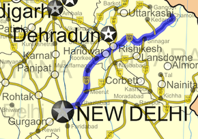
Road map of India with National Highway 58 highlighted in solid blue colorRoute information Length: 538 km (334 mi) Major junctions South end: Ghaziabad, Uttar Pradesh North end: Badrinath, Uttarakhand Location States: Uttar Pradesh: 165 km (103 mi)
Uttarakhand: 373 km (232 mi)Primary
destinations:New Delhi - Ghaziabad - Meerut - Haridwar - Badrinath - Mana Pass Highway system Indian Road Network
National • Expressways • State
State Highways in ¬← NH 57A NH 59 → National Highway 58 (NH 58) is a National Highway in Northern India. It links Ghaziabad in Uttar Pradesh with Badrinath in Uttarakhand. This 538 km (334 mi) Highway passes through Badrinath, Joshimath, Chamoli, Nandaprayag, Rudraprayag, Srinagar, Devprayag, Rishikesh, Haridwar, Muzaffarnagar, Purquazi, Meerut, Modinagar, Ghaziabad and Delhi. It is important route for Hindu pilgrimage circuit as it connects capital New Delhi with Haridwar and Rishikesh, and also connect it with the Chota Char Dham circuit, that is Yamunotri, Gangotri, Kedarnath, and Badrinath, thus it is packed during pilgrimage season or during important festivals.[1]
Of its total length, the NH 58 traverses 165 km (103 mi) in Uttar Pradesh and 373 km (232 mi) Uttarakhand. [2]
Contents
Gallery
-
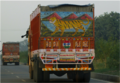
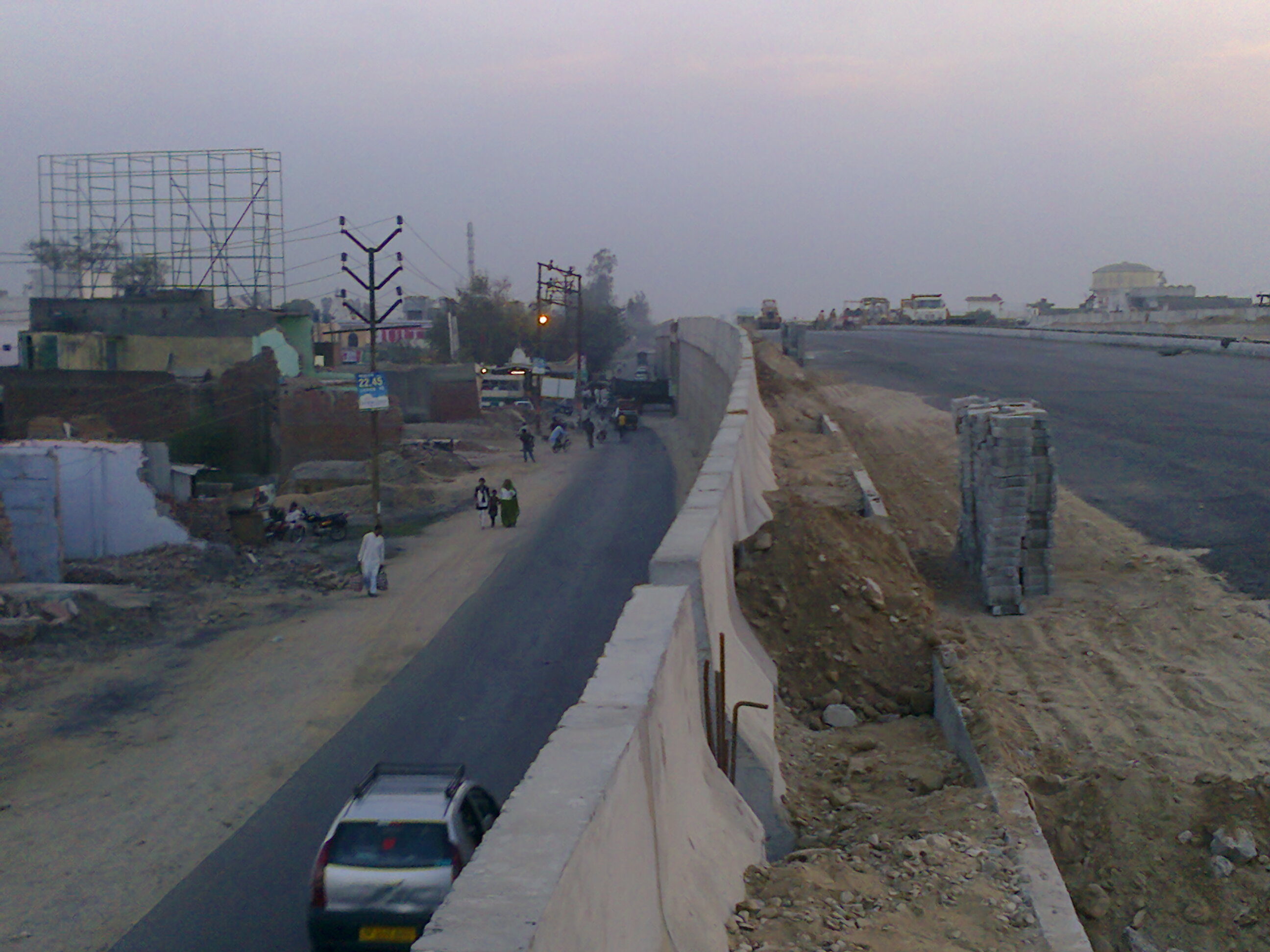
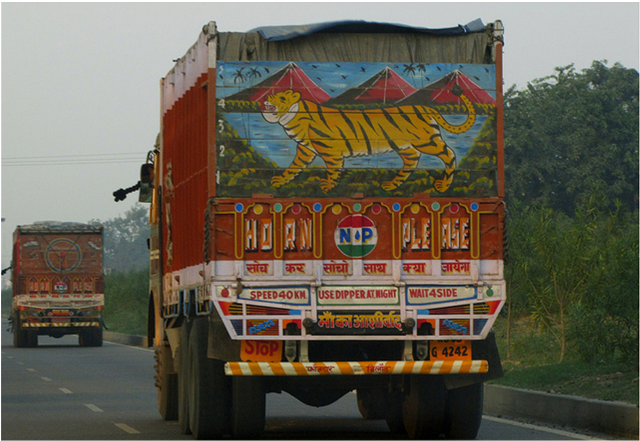
NH 58 is important trade route to hill-set Garhwal region of Uttarakhand.
See also
- List of National Highways in India (by Highway Number)
- National Highways Development Project
References
- ^ "Major traffic jams on Somwati Amavasya: 20 lakh devotees take dip in Haridwar and Rishikesh". The Tribune. June 23, 2009,. http://www.tribuneindia.com/2009/20090623/dun.htm.
- ^ "National Highways and their lengths". National Highways Authority of India. http://www.nhai.org/nh.asp. Retrieved 2009-02-12.
External links
Indian Highways Network National Expressways NE 1 • NE 2


State Expressways Mumbai-Pune • Delhi-Gurgaon • DND Flyway • Bengaluru-Mysore • Chennai HSCTC • Hyderabad Elevated ExpresswaysNational Highways 1 • 1A • 1B • 1C • 1D • 2 • 2A • 3 • 4 • 4A • 4B • 5 • 5A • 6 • 7 • 7A • 8 • 8A • 8B • 8C • 8D • 8E • 9 • 10 • 11 • 11A • 11B • 12 • 12A • 13 • 14 • 15 • 16 • 17 • 17A • 17B • 18 • 19 • 20 • 21 • 21A • 22 • 23 • 24 • 24A • 24B • 25 • 25A • 26 • 26A • 27 • 28 • 28A • 28B • 28C • 29 • 30 • 30A • 31 • 31A • 31B • 31C • 31D • 32 • 33 • 34 • 35 • 36 • 37 • 37A • 38 • 39 • 40 • 41 • 42 • 43 • 44 • 44A • 45 • 45A • 45B • 45C • 46 • 47 • 47A • 47B • 47C • 48 • 49 • 50 • 51 • 52 • 52A • 52B • 53 • 54 • 54A • 55 • 56 • 57 • 57A • 58 • 59 • 59A • 60 • 60A • 61 • 62 • 63 • 64 • 65 • 66 • 67 • 68 • 69 • 70 • 71 • 71A • 71B • 72 • 72A • 73 • 73A • 74 • 75 • 76 • 77 • 78 • 79 • 79A • 80 • 81 • 82 • 83 • 84 • 85 • 86 • 86A • 87 • 88 • 89 • 90 • 91 • 91A • 92 • 93 • 94 • 95 • 96 • 97 • 98 • 99 • 100 • 101 • 102 • 103 • 104 • 105 • 106 • 107 • 108 • 109 • 110 • 111 • 112 • 113 • 114 • 116 • 117 • 119 • 121 • 123 • 125 • 126 • 127 • 128 • 129 • 150 • 151 • 152 • 153 • 154 • 155 • 200 • 201 • 202 • 203 • 203A • 204 • 205 • 206 • 207 • 208 • 209 • 210 • 211 • 212 • 213 • 214 • 214A • 215 • 216 • 217 • 218 • 219 • 220 • 221 • 222 • 223 • 224 • 226 • 227 • 228 • 229 • 234 • 235State Highways Andhra Pradesh • Arunachal Pradesh • Assam • Bihar • Chhattisgarh • Goa • Gujarat • Haryana • Himachal Pradesh • Jammu and Kashmir • Jharkhand • Karnataka • Kerala • Madhya Pradesh • Maharashtra • Manipur • Meghalaya • Mizoram • Nagaland • Orissa • Punjab • Rajasthan • Sikkim • Tamil Nadu • Tripura • Uttarakhand • Uttar Pradesh • West BengalNotable Categories:- National Highways in Uttarakhand
- National Highways in Uttar Pradesh
- Indian National Highways
- Haridwar district
- India road stubs


Wikimedia Foundation. 2010.