- National Highway 5 (India)
-
National Highway 5

5
Road map of India with National Highway 5 highlighted in solid red colorRoute information Length: 1,533 km (953 mi)
GQ: 1448 km (Chennai - Balasore)Major junctions North end: Jharpokharia, Orissa List- NH 6 in Jharpokharia
- NH 60 near Balasore
- NH 215 at Panikoili
- NH 200 at Dhanmandal
- NH 5A at Dhanmandal
- NH 42 near Cuttack
- NH 203 in Bhubaneshwar
- NH 224 near Bhubaneshwar
- NH 217 in Behrampur
- NH 43 in [Rajapulova near Vizag]
- NH 214 in Kattipudi
- NH 9 in Vijaywada
- NH 214A in Ongole
- NH 4 in Chennai
- NH 45 in Chennai
- NH 205 in Chennai
South end: Chennai, Tamil Nadu Location States: Orissa: 488 km
Andhra Pradesh: 1000 km
Tamil Nadu: 45 kmPrimary
destinations:Kolkata (by NH 6) - Balasore - Cuttack - Bhubaneswar - Visakhapatnam - Rajahmundry - Vijayawada - Guntur - Nellore - Chennai Highway system Indian Road Network
National • Expressways • State
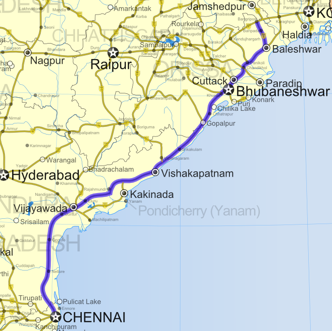
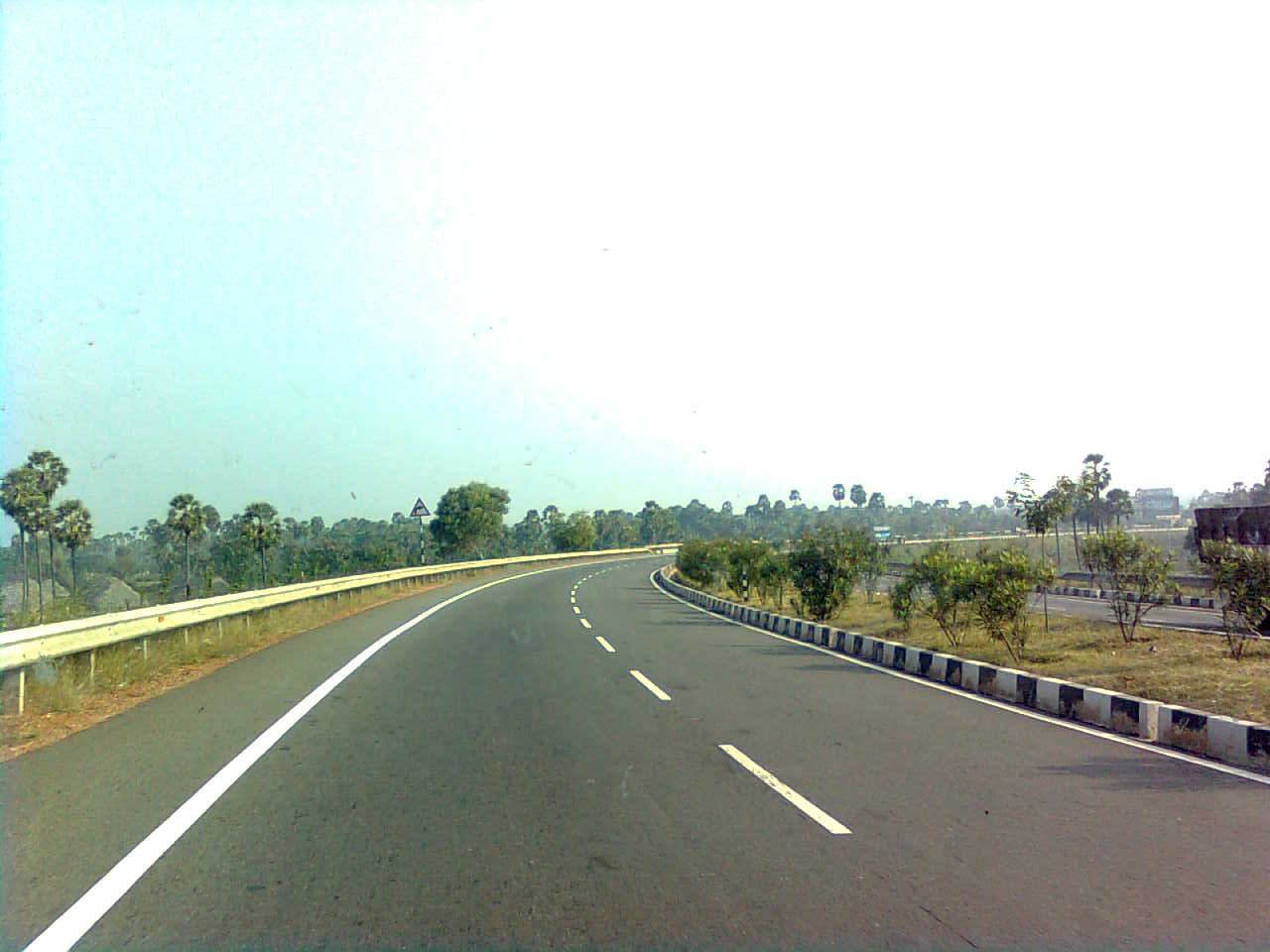
State Highways in ¬← [[|]] [[|]] → National Highway 5 (NH 5) is a major National Highway in India that runs along India's east coast through the states of Orissa, Andhra Pradesh and Tamil Nadu. The northern terminal is at Jharpokharia in Orissa and the southern terminal is at Chennai in Tamil Nadu. NH 5 is a part of the Golden Quadrilateral project undertaken by National Highways Development Project.
NH 5 runs for a distance of 1,533 km (953 mi)
- Orissa-488 km (303 mi),
- Andhra Pradesh-1,000 km (620 mi) and
- Tamil Nadu-45 km (28 mi)
Contents
Route
In Tamil Nadu, NH 5 starts from Chennai and shortly enters Andhra Pradesh after Gummidipundi.
In Andhra Pradesh, it passes through most of the coastal towns in nine coastal districts including Nellore, Ongole, Guntur, Vijayawada, Eluru, Tanuku, Rajahmundry, Tuni, Visakhapatnam, Srikakulam, Tekkali and Palasa-Kasibugga.
In Orissa, it passes through Baripada, Balasore, Bhadrak, Cuttack, Bhubaneswar and Berhampur.
Gallery
-
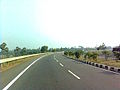
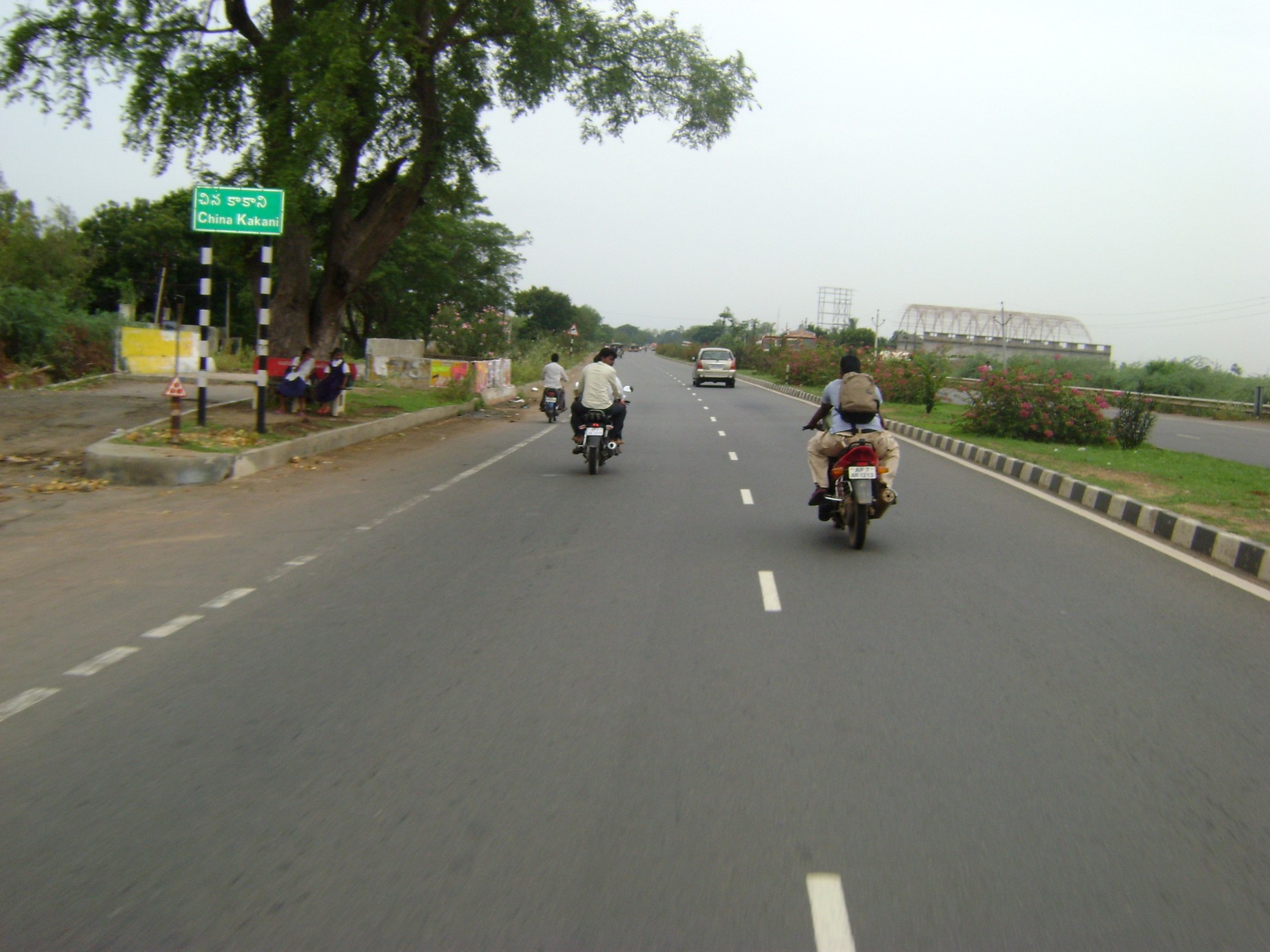
NH5 Madhurawada AP
-
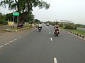
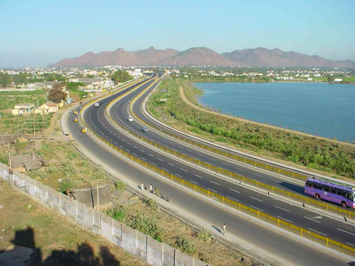
Nh-5, Mangalagiri, Andhra Pradesh, India
-
External links
See also
- List of National Highways in India (by Highway Number)
Indian Highways Network National Expressways NE 1 • NE 2


State Expressways Mumbai-Pune • Delhi-Gurgaon • DND Flyway • Bengaluru-Mysore • Chennai HSCTC • Hyderabad Elevated ExpresswaysNational Highways 1 • 1A • 1B • 1C • 1D • 2 • 2A • 3 • 4 • 4A • 4B • 5 • 5A • 6 • 7 • 7A • 8 • 8A • 8B • 8C • 8D • 8E • 9 • 10 • 11 • 11A • 11B • 12 • 12A • 13 • 14 • 15 • 16 • 17 • 17A • 17B • 18 • 19 • 20 • 21 • 21A • 22 • 23 • 24 • 24A • 24B • 25 • 25A • 26 • 26A • 27 • 28 • 28A • 28B • 28C • 29 • 30 • 30A • 31 • 31A • 31B • 31C • 31D • 32 • 33 • 34 • 35 • 36 • 37 • 37A • 38 • 39 • 40 • 41 • 42 • 43 • 44 • 44A • 45 • 45A • 45B • 45C • 46 • 47 • 47A • 47B • 47C • 48 • 49 • 50 • 51 • 52 • 52A • 52B • 53 • 54 • 54A • 55 • 56 • 57 • 57A • 58 • 59 • 59A • 60 • 60A • 61 • 62 • 63 • 64 • 65 • 66 • 67 • 68 • 69 • 70 • 71 • 71A • 71B • 72 • 72A • 73 • 73A • 74 • 75 • 76 • 77 • 78 • 79 • 79A • 80 • 81 • 82 • 83 • 84 • 85 • 86 • 86A • 87 • 88 • 89 • 90 • 91 • 91A • 92 • 93 • 94 • 95 • 96 • 97 • 98 • 99 • 100 • 101 • 102 • 103 • 104 • 105 • 106 • 107 • 108 • 109 • 110 • 111 • 112 • 113 • 114 • 116 • 117 • 119 • 121 • 123 • 125 • 126 • 127 • 128 • 129 • 150 • 151 • 152 • 153 • 154 • 155 • 200 • 201 • 202 • 203 • 203A • 204 • 205 • 206 • 207 • 208 • 209 • 210 • 211 • 212 • 213 • 214 • 214A • 215 • 216 • 217 • 218 • 219 • 220 • 221 • 222 • 223 • 224 • 226 • 227 • 228 • 229 • 234 • 235State Highways Andhra Pradesh • Arunachal Pradesh • Assam • Bihar • Chhattisgarh • Goa • Gujarat • Haryana • Himachal Pradesh • Jammu and Kashmir • Jharkhand • Karnataka • Kerala • Madhya Pradesh • Maharashtra • Manipur • Meghalaya • Mizoram • Nagaland • Orissa • Punjab • Rajasthan • Sikkim • Tamil Nadu • Tripura • Uttarakhand • Uttar Pradesh • West BengalNotable Categories:- National Highways in Orissa
- National Highways in Andhra Pradesh
- National Highways in Tamil Nadu
- Golden Quadrilateral
- Indian National Highways
- India road stubs


Wikimedia Foundation. 2010.