- Nandaprayag
-
Nandaprayag — city — Coordinates 30°20′N 79°20′E / 30.33°N 79.33°ECoordinates: 30°20′N 79°20′E / 30.33°N 79.33°E Country India State Uttarakhand District(s) Chamoli Population 1,433 (2001[update]) Time zone IST (UTC+05:30) Area
• 1,358 metres (4,455 ft)
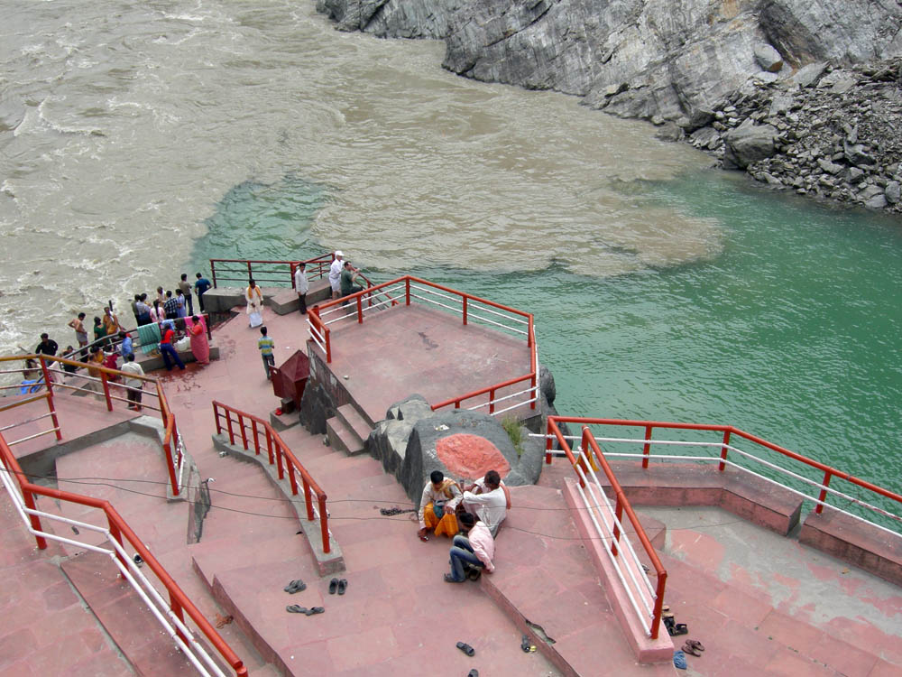
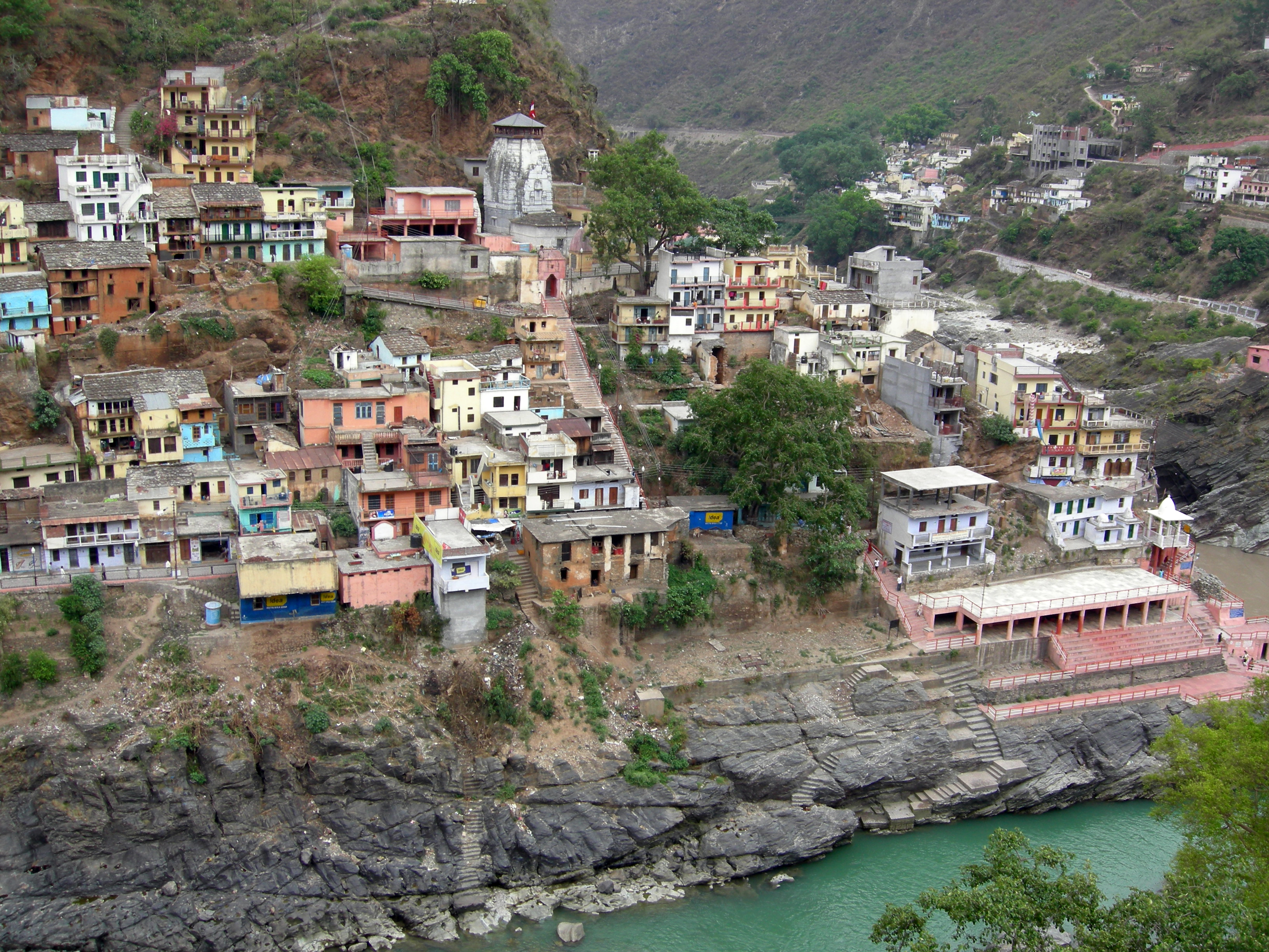
Nandaprayag (also spelt Nandprayag and Nand Prayag) is a town and a nagar panchayat in Chamoli district in the Indian state of Uttarakhand. Nandaprayag is one of the Panch Prayag (five confluences) of Alaknanda River, and lies at the confluence of Alaknanda River and Nandakini River.[1]
Contents
Geography
Nandaprayag is located at 30°20′N 79°20′E / 30.33°N 79.33°E.It has an average elevation of 1,358 metres (4,455 feet).
Demographics
As of 2001[update] India census,[2] Nand Prayag had a population of 1433. Males constitute 56% of the population and females 44%. Nand Prayag has an average literacy rate of 70%, higher than the national average of 59.5%: male literacy is 78%, and female literacy is 61%. In Nand Prayag, 13% of the population is under 6 years of age.
Panch Prayag 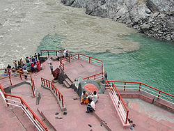
Dev Prayag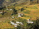
Nandprayag Valley • Karna Prayag
Bhagirathi River • RudraprayagSee also
- Panch Prayag
- Vishnuprayag
- Rudraprayag
- Devprayag
- Karnaprayag
Gallery
-
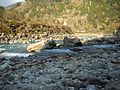
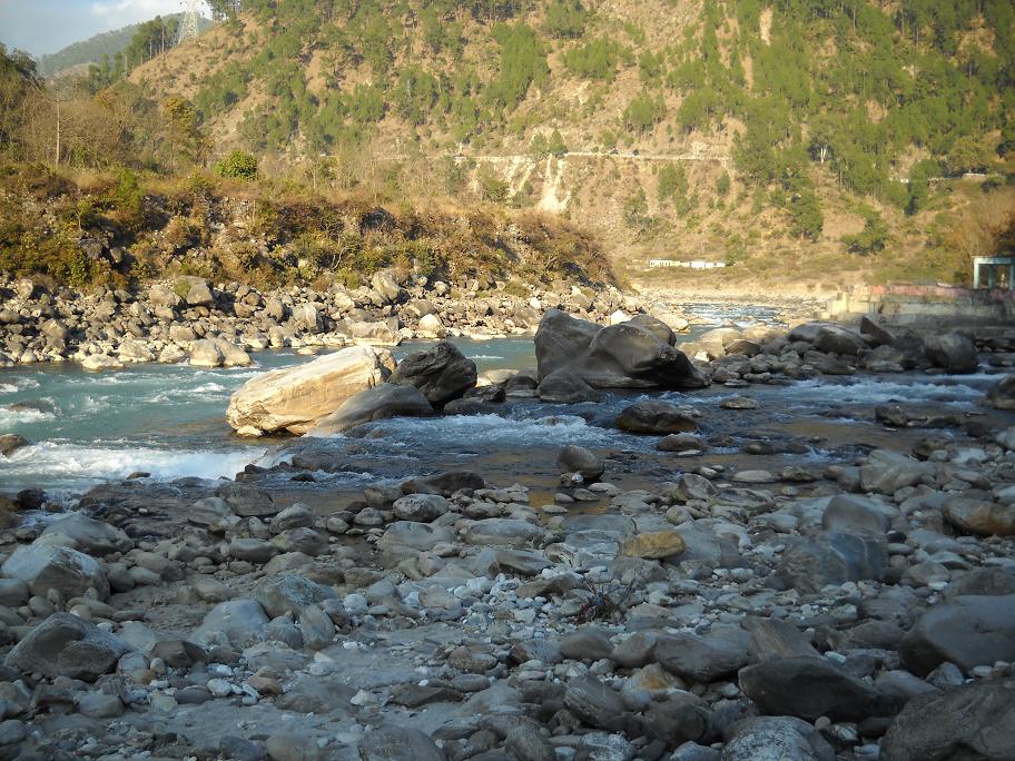
The Nandakini River (foreground) meets the Alaknanda River (background) in Nandprayag, in the Garhwal Himalayas, Uttarakhand, India.
-
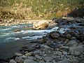
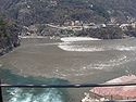
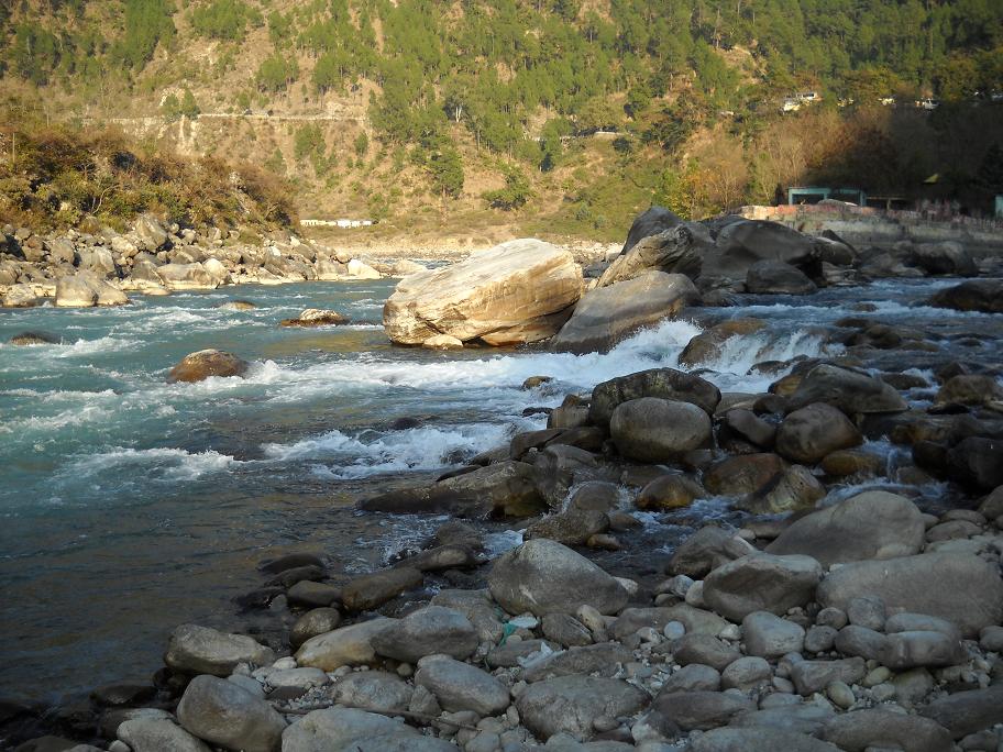
Another view of the confluence of the Nandakini River (foreground) and the Alaknanda River (background) at Nandprayag
-

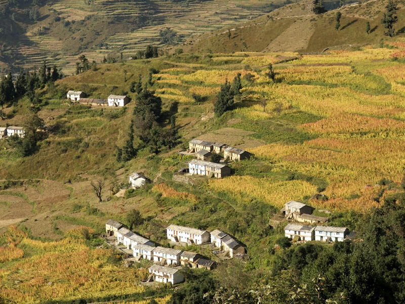
right|thumb|Bangali village near Nandprayag.
References
- ^ Uttaranchal. Rupa & Co. 2006. ISBN 8129108615. Page 12.
- ^ "Census of India 2001: Data from the 2001 Census, including cities, villages and towns (Provisional)". Census Commission of India. Archived from the original on 2004-06-16. http://web.archive.org/web/20040616075334/http://www.censusindia.net/results/town.php?stad=A&state5=999. Retrieved 2008-11-01.
External links
Cities and towns in Chamoli district Chamoli Auli · Badrinath · Chamoli Gopeshwar · Gochar · Govindghat · Gwaldam · Jyotirmath · Karnaprayag · Mana · Nandaprayag · Vishnuprayag
Cities and towns
in other districtsAlmora · Bageshwar · Champawat · Dehradun · Haridwar · Nainital · Pauri Garhwal · Pithoragarh · Rudraprayag · Tehri Garhwal · Udham Singh Nagar · Uttarkashi
Categories:- Cities and towns in Chamoli district
- Uttarakhand geography stubs


Wikimedia Foundation. 2010.